wegner’s theory explains: stated that earth's continents were once joined in a single...
TRANSCRIPT

Tectonic Plates
By: Andrew ThomasEarth Systems
5th
Wegner’s theory of Continental Drift & the Supercontinent Theory
Wegner’s Theory explains: Stated that Earth's continents were once joined in a single landmass and gradually moved or drifted apart. i.e. Pangaea
Evidence of Wegener’s Theory He provided evidence that the same
fossils and plants are evident on all continents before being separated; Many people during his time didn't believe him. Just after his death in 1930 did people begin to accept the theory of continental drift.

Supercontinent theory
Describes the quasi-periodic aggregation and dispersal of Earth’s Continental crust. There are varying opinions as to whether the amount of continental crust is increasing, decreasing, or staying about the same, but it is agreed that the Earth's crust is constantly being reconfigured. One complete supercontinent cycle is said to take 300 to 500 million years.
Pangaea & Panthalassa
Pangaea- Was a supercontinent that existed during the late Paleozoic and early Mesozoic eras, forming about 300 million years ago
Panthalassa- A.K.A. Panthalassic Ocean was the vast global ocean surrounding Pangaea during the Mesozoic and Paleozoic
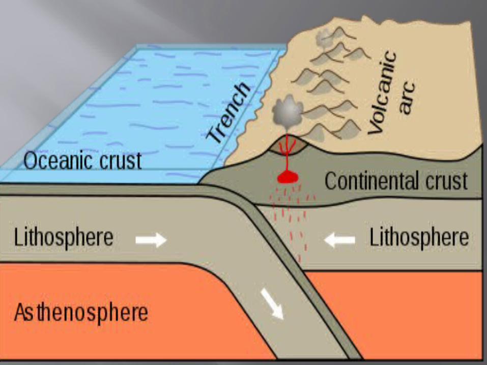
Accretion A process by which material is added to a
tectonic plate or a landmass Examples of the material would be either
sediment or igneous such as volcanic arcs, seamounts.
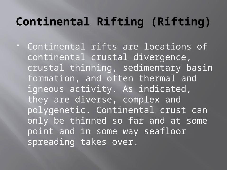
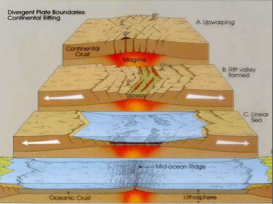
Continental Rifting (Rifting)
Continental rifts are locations of continental crustal divergence, crustal thinning, sedimentary basin formation, and often thermal and igneous activity. As indicated, they are diverse, complex and polygenetic. Continental crust can only be thinned so far and at some point and in some way seafloor spreading takes over.

How plate movements alter climate and evolution
Climate: Plate tectonics gives the basic setting for Earth's climate. The only effect that plate tectonics has on climate is through volcanic emissions; Radioactivity in the Earth’s mantle moving the crustal plates on the surface. For example the
Evolution: When plate tectonics shift, the animals above the tectonic plates also shift causing them have to adapt to wherever they are taken. Sometimes destroying species.
Theory of Plate Tectonics


The Lithosphere The rigid outermost shell on Earth It comprises the crust and the portion
of the upper mantle

The Asthenosphere The highly viscous and mechanically
weak region Comprises of the upper mantle of the
Earth
How do plates move? Convection of heat causes the
movement of lithospheric plates. Although plate movements do occur
because of when the Asthenosphere heats there is enough Lithostatic pressure to prevent it’s melting.
3 types of plate boundaries Convergent boundaries Divergent boundaries Transform boundaries
Isostasy Equilibrium in the Earth’s crust such
that the forces tending to elevate landmasses balance the forces tending to depress landmasses.
Isostatic adjustments (Glacial Isostatic Adjustments)
The rise of land masses that were depressed by the huge weight of ice sheets during the last glacial period
Via Isostasy

Stress A.K.A. Tension. Refers to a stress which
stretches rocks in two opposite directions
In relative it is also found in tectonic regions of divergent boundaries
DIVERGENT BOUNDARY
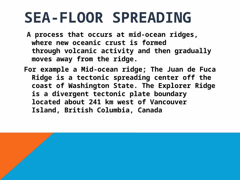
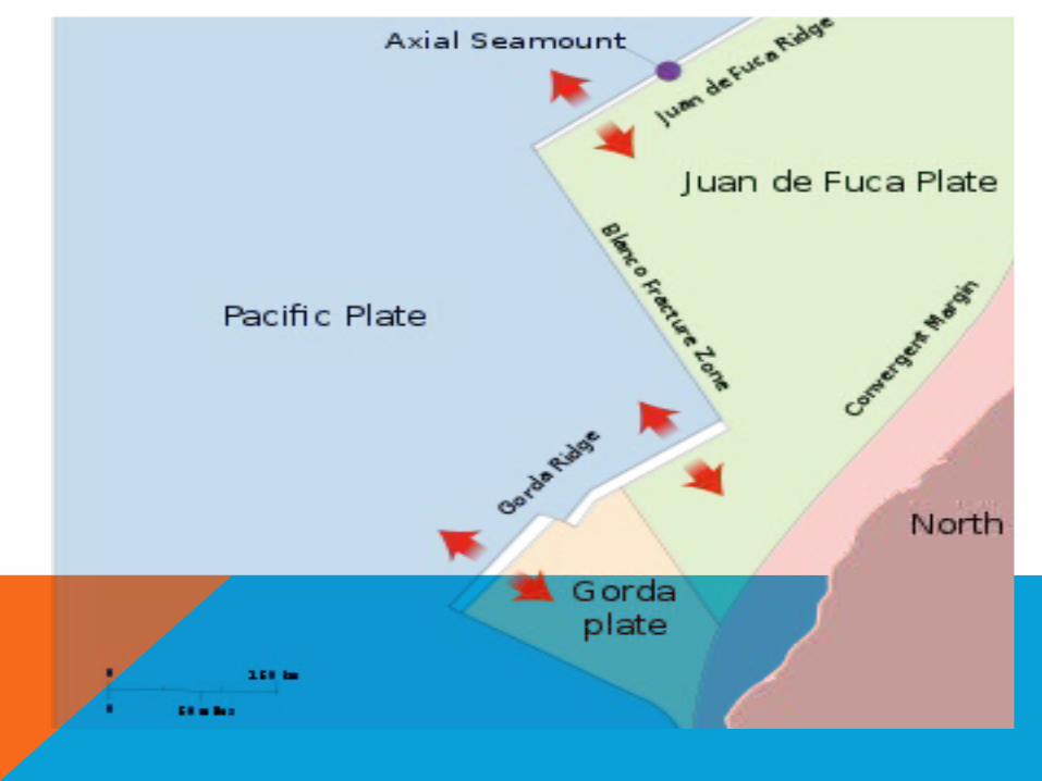
SEA-FLOOR SPREADING A process that occurs at mid-ocean ridges,
where new oceanic crust is formed through volcanic activity and then gradually moves away from the ridge.
For example a Mid-ocean ridge; The Juan de Fuca Ridge is a tectonic spreading center off the coast of Washington State. The Explorer Ridge is a divergent tectonic plate boundary located about 241 km west of Vancouver Island, British Columbia, Canada

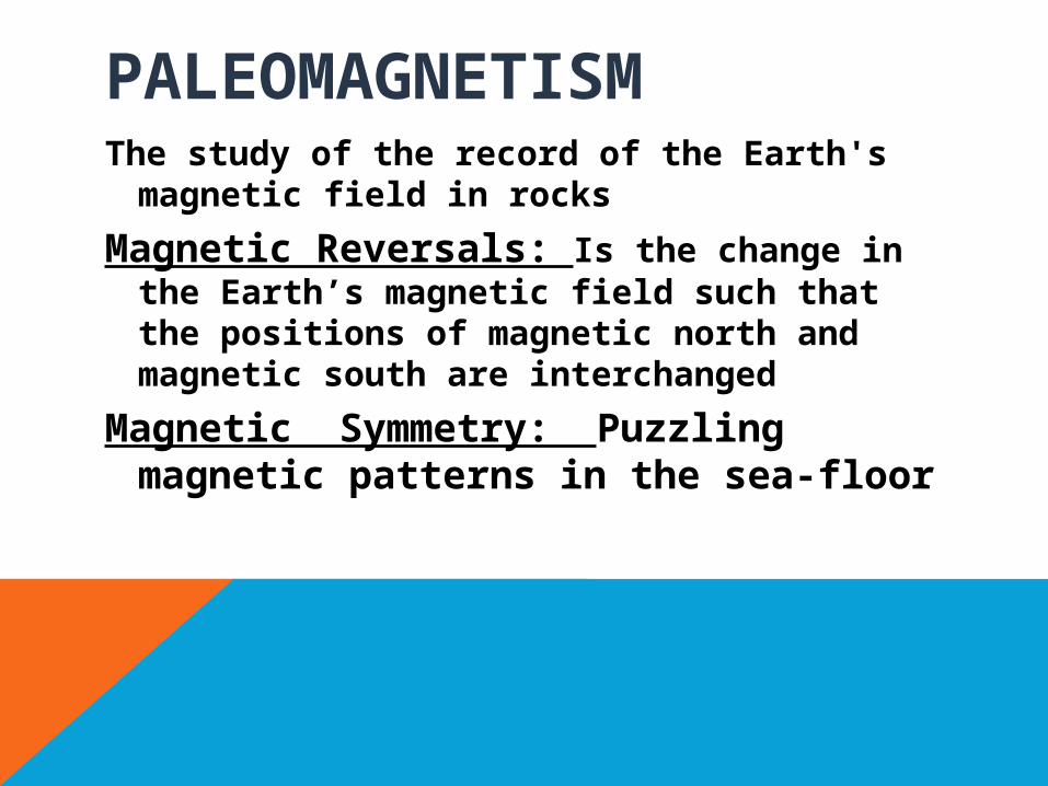
PALEOMAGNETISMThe study of the record of the Earth's
magnetic field in rocks
Magnetic Reversals: Is the change in the Earth’s magnetic field such that the positions of magnetic north and magnetic south are interchanged
Magnetic Symmetry: Puzzling magnetic patterns in the sea-floor
NORMAL FAULTSA normal fault occurs when the
crust is extended, can also be called an extensional fault.
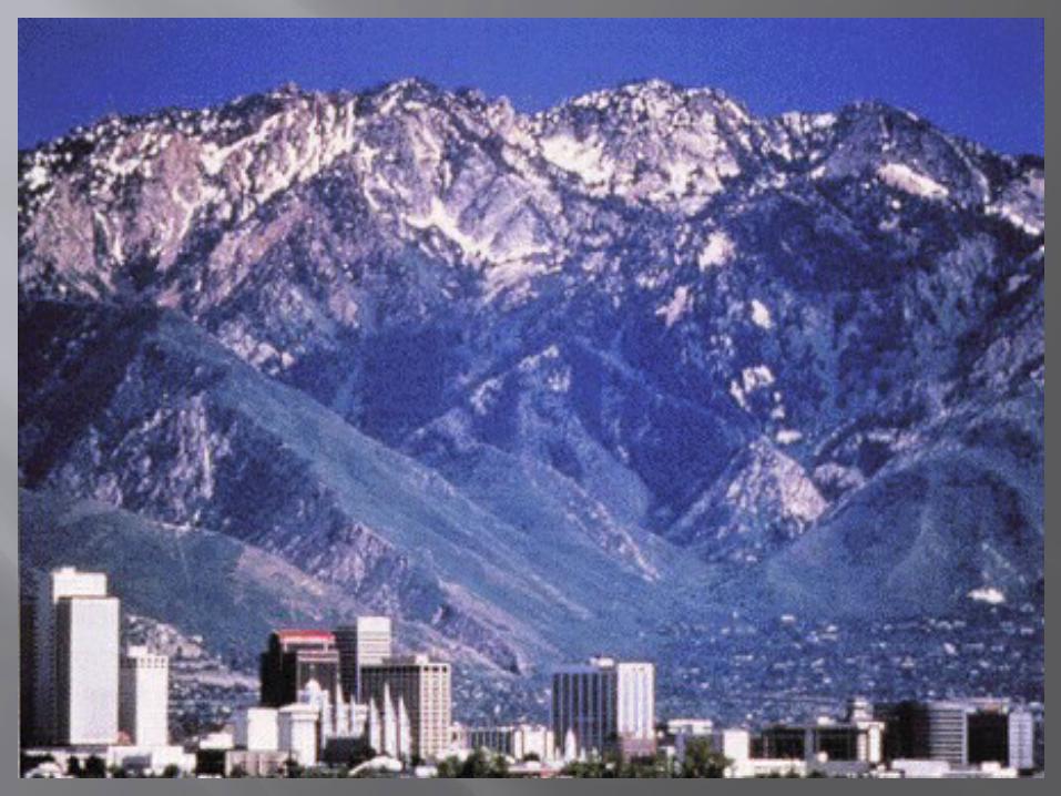
Wasatch Fault is an example of a normal fault
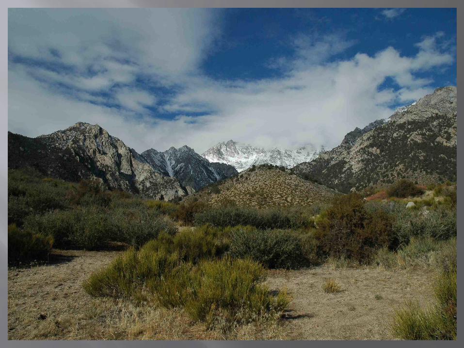
Sierra Nevada Fault is also an example of a normal fault

Convergent PlateBoundary
Subduction Zones

Volcanoes
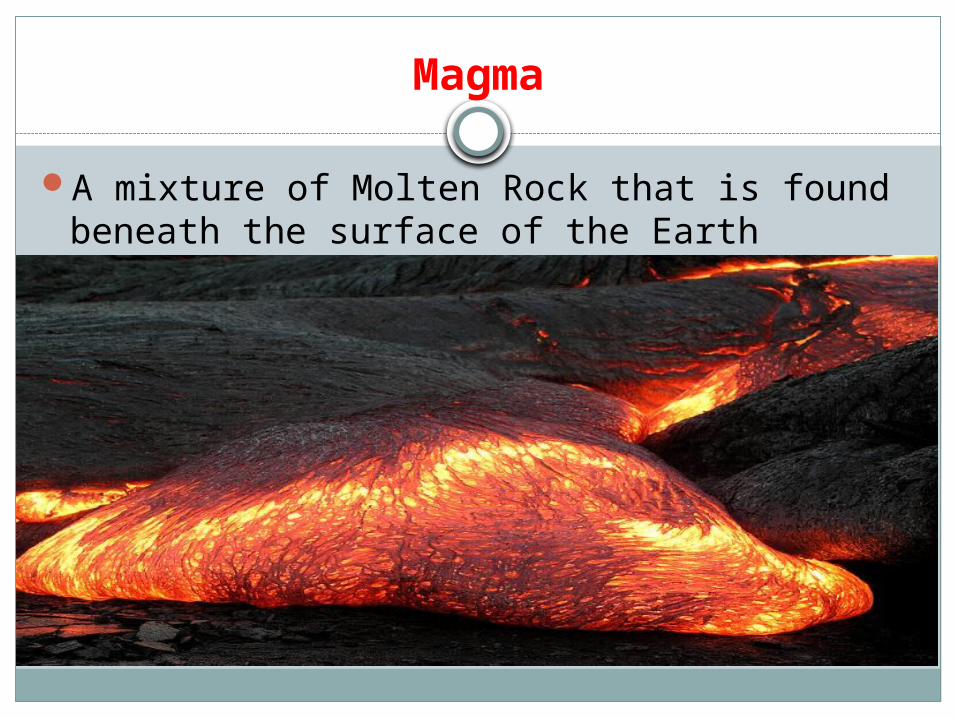
Magma
A mixture of Molten Rock that is found beneath the surface of the Earth

Conditions of Magma Formation
An increase in temperature can cause materials in the asthenosphere to melt. Such as the increase that occurs at a hot-spot.

Lava
Refers both to molten rock expelled by a volcano during an eruption and the resulting rock after solidification and cooling

Volcano
An opening, or rupture, in a planet's surface or crust, which allows hot magma, volcanic ash and gases to escape from the magma chamber below the surface.
Common Locations
• Nazca Plate• Eurasian Plate• Pacific Ring of Fire*• North American Plate• Pacific Plate• Arabian Plate
• *DENOTES MOST ACTIVE LOCATION FOR VOLCANOES
Major zone of Volcanoes in the Pacific
Is called the Pacific “Ring of Fire”, where a large number of Earthquakes and Volcanic eruptions in the Pacific
Horseshoe shape 452 volcanoes in total and 90% of the World’s
earthquakes occur in the Pacific Ring of Fire
Pyroclastic Material
Solid fragments of rock ejected during a volcanic eruption
Viscosity of Pyroclastic Material
It is likely to form at a high viscosity according to history as studies on a volcano in Japan at Mount Unzen show
How magma contents produce explosive eruptions
Because felsic magma has a higher gas content than mafic magma

Types of Volcanoes
ShieldCinder ConeComposite
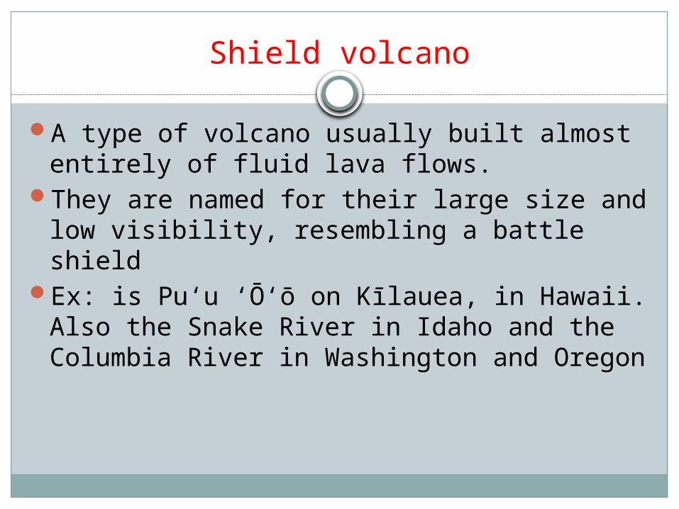
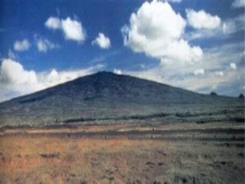
Shield volcano
A type of volcano usually built almost entirely of fluid lava flows.
They are named for their large size and low visibility, resembling a battle shield
Ex: is Puʻu ʻŌʻō on Kīlauea, in Hawaii. Also the Snake River in Idaho and the Columbia River in Washington and Oregon

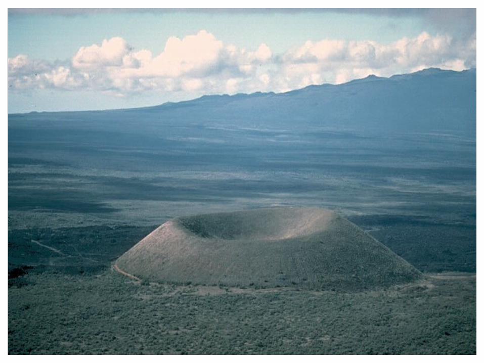
Cinder Cone volcano
Cinder cone volcanoes are the most common kind of volcanoes.
They are steep sided cones of basaltic fragments and are smaller and simpler than composite volcanoes.
Streaming gases carry liquid lava blobs into the atmosphere that fall back to earth around a single vent to form the cone.
Ex: Paricutin in Mexico and in Iceland, Surter I.
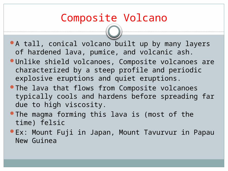
Composite Volcano
A tall, conical volcano built up by many layers of hardened lava, pumice, and volcanic ash.
Unlike shield volcanoes, Composite volcanoes are characterized by a steep profile and periodic explosive eruptions and quiet eruptions.
The lava that flows from Composite volcanoes typically cools and hardens before spreading far due to high viscosity.
The magma forming this lava is (most of the time) felsic
Ex: Mount Fuji in Japan, Mount Tavurvur in Papau New Guinea

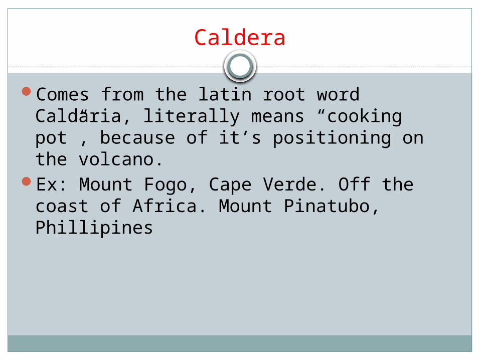
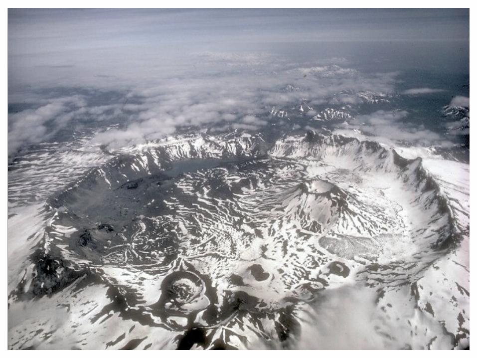
Caldera
Comes from the latin root word Caldaria, literally means “cooking pot”, because of it’s positioning on the volcano.
Ex: Mount Fogo, Cape Verde. Off the coast of Africa. Mount Pinatubo, Phillipines

Animated Representation of Calderas’

Continental Crust
The layer of igneous, sedimentary, and metamorphic rocks which forms the continents and the areas of shallow seabed close to their shores

Oceanic Crust
Is the part of Earth's lithosphere that surfaces in the ocean basins
Composed of Mafic rock
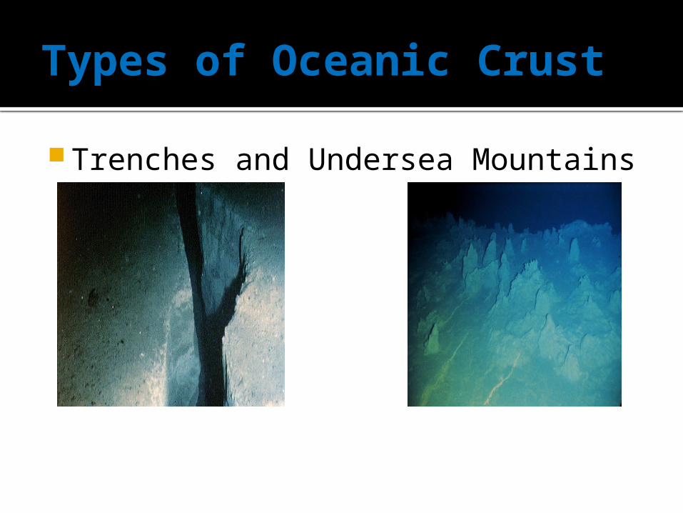
Types of Oceanic Crust
Trenches and Undersea Mountains

Types of Continental Crust
Normal Faults and Mid-ocean ridges
Collision Zones
A phenomenon of the plate tectonics of Earth that occurs at convergent boundaries where the subduction zone is destroyed, mountains produced, and two continents push together
Compression & (Tectonic) Uplift
Uplift is a geological process often caused by plate tectonics
Landforms Produced
Folded Mountains, Plateaus, Dome Mountains. Plateau: is an area of highland, usually consisting of
relatively flat terrain. Folded Mountains: When one or a stack of originally flat
and planar surfaces, such as sedimentary, are bent or curved as a result of permanent deformation
Dome Mountains: A deformational feature consisting of symmetrically-dipping anticlines
Types of Folded Mountains: Anticline, Syncline, Antiform, Synform, Dome, Basin, etc.
Types of Dome Mountains: Anticline, Basin, Granite Dome, Petroleum Reservoir, Resurgent Dome, Salt Dome
Types of Plateaus: Tibetan Plateau, Antarctic Plateau, Columbia Plateau. Are some of the most iconic
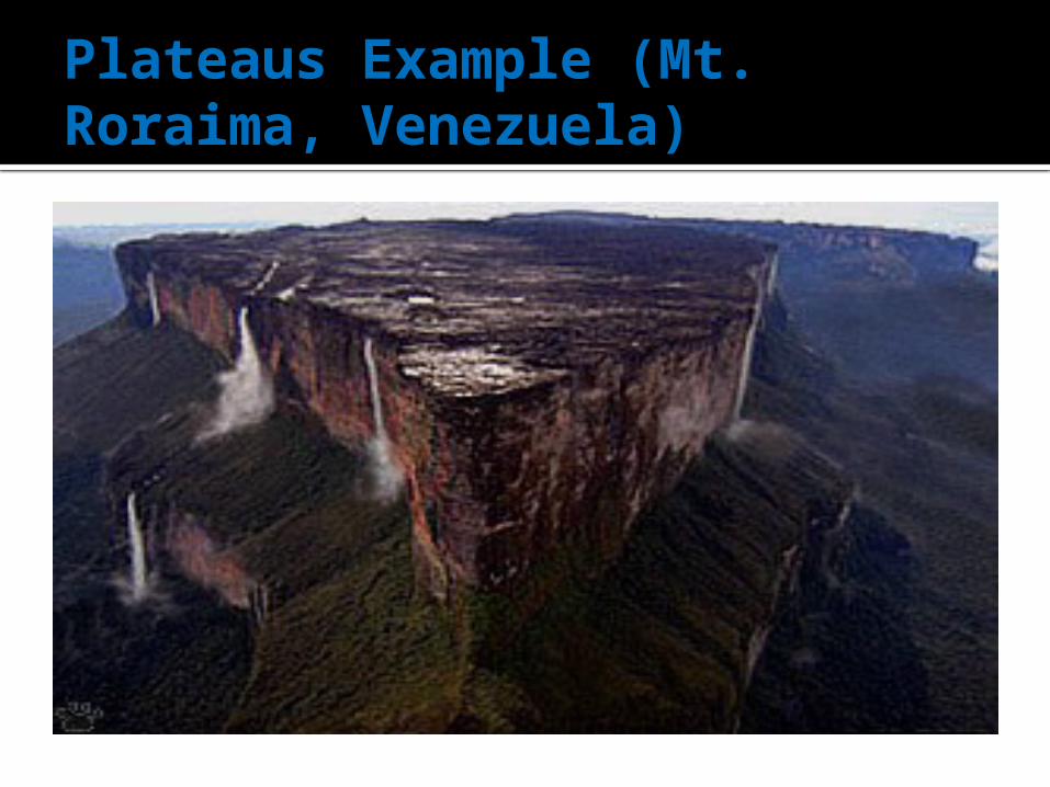
Plateaus Example (Mt. Roraima, Venezuela)
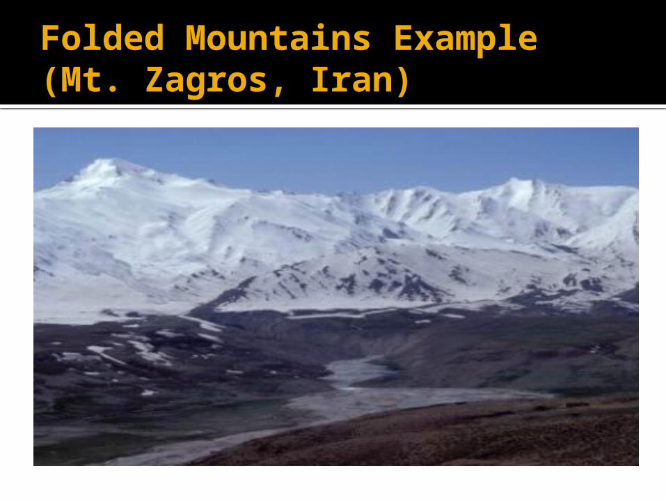
Folded Mountains Example (Mt. Zagros, Iran)
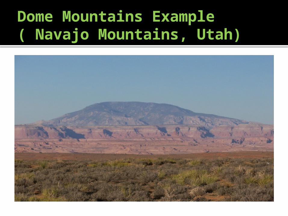
Dome Mountains Example ( Navajo Mountains, Utah)

Transform Boundary

EARTHQUAKES
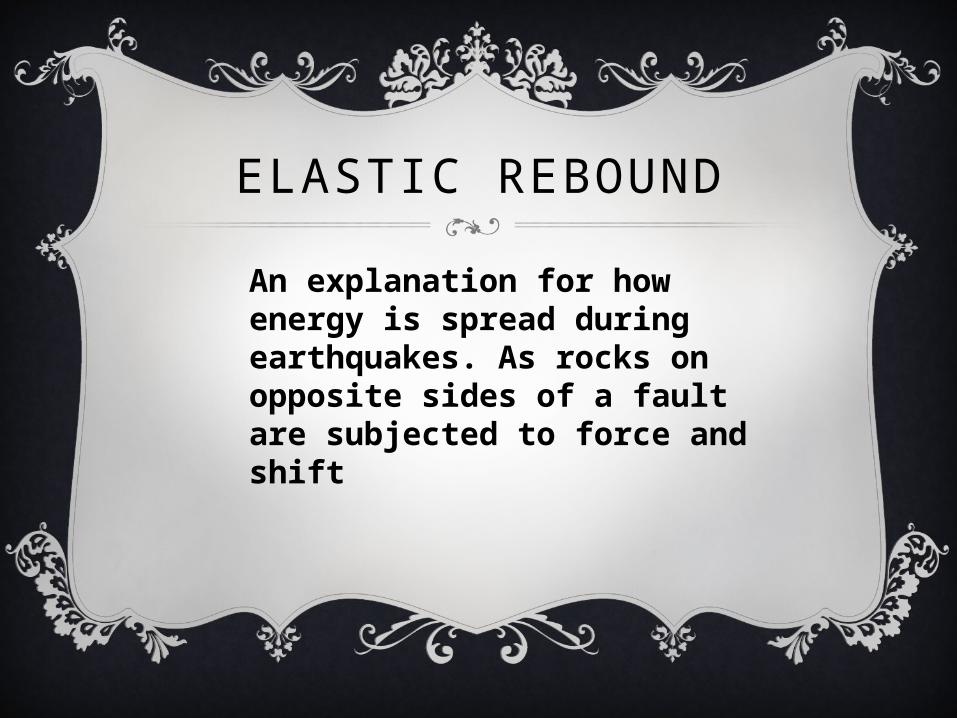
ELASTIC REBOUND
An explanation for how energy is spread during earthquakes. As rocks on opposite sides of a fault are subjected to force and shift

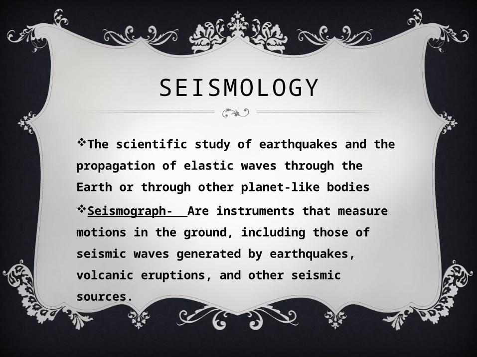
SEISMOLOGY
The scientific study of earthquakes and the
propagation of elastic waves through the Earth
or through other planet-like bodies
Seismograph- Are instruments that measure
motions in the ground, including those of
seismic waves generated by earthquakes,
volcanic eruptions, and other seismic sources.
FOCUS
The location within Earth along a fault at which the
first motion of an earthquake occurs
EPICENTER
The point on the Earth’s surface that is directly
above the hypocenter or focus, the point where an
earthquake originates

SEISMIC WAVES
Waves of energy that travel through the Earth, and
are a result of an earthquake, explosion, or a
volcano.
BODY WAVES
Waves that travel through Earth’s
interior

TYPES OF BODY WAVES
P (Primary) waves- Compressional waves that
travel faster than any other waves through the
earth, hence the name “Primary”; Longitudinal
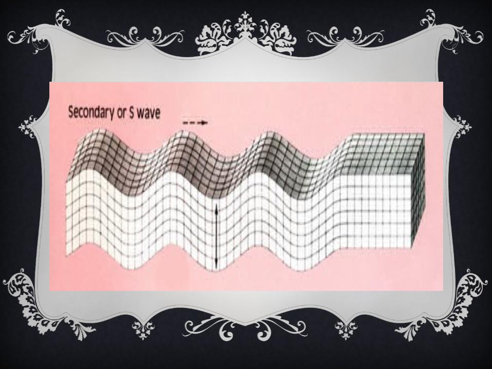
S (Secondary) waves- Shear waves that arrive
at seismograph stations after the faster moving
P waves during an earthquake; Transverse

SURFACE WAVES
Seismic waves that travel along the surface of the
Earth
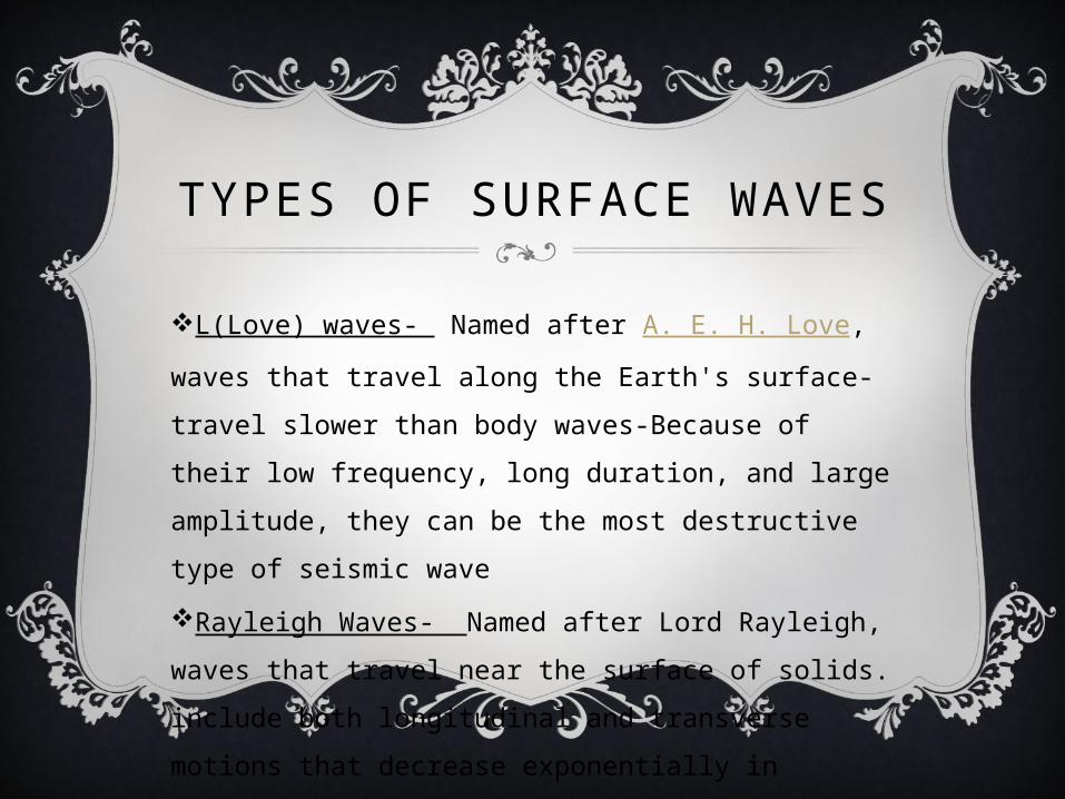
TYPES OF SURFACE WAVES
L(Love) waves- Named after A. E. H. Love, waves
that travel along the Earth's surface-travel slower
than body waves-Because of their low frequency,
long duration, and large amplitude, they can be the
most destructive type of seismic wave
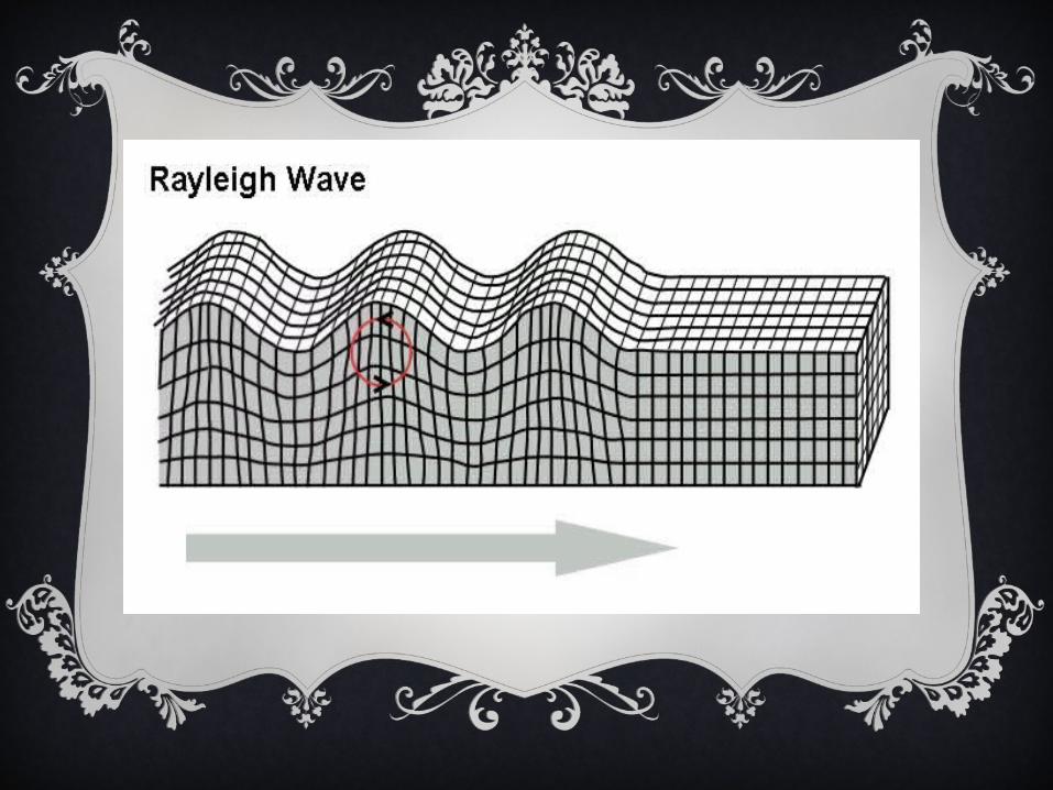
Rayleigh Waves- Named after Lord Rayleigh,
waves that travel near the surface of solids. include
both longitudinal and transverse motions that
decrease exponentially in amplitude as distance from
the surface increases


HOW SEISMIC WAVES LED TO DETERMINATION OF
EARTH’S INTERIOR
Seismic waves, which are generated naturally
by earthquakes, by volcanoes, and by impacts,
and may be produced artificially by explosions
and mechanical devices, tell us about the
interior in several general ways.
Firstly, Seismic waves have their direction of
motion changed by variations in the interior
density.

EARTHQUAKES NOT RESULTING FROM
MOVEMENT ALONG PLATE BOUNDARIES
MAGNITUDE
In correlation to Earthquakes, it is the
measurement of the “size” or amplitude of the
seismic waves generated by an earthquake source
and recorded by seismographs.
INTENSITY
A measure of the size of an earthquake based on
observation of the effects of the shock at the Earth's
surface.
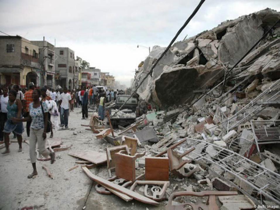
MERCALLI SCALE
a seismic scale used for measuring the intensity of
an earthquake, it measures the effects of an
earthquake.
Example: The Earthquake in Haiti had a Mercalli
Scale of 10

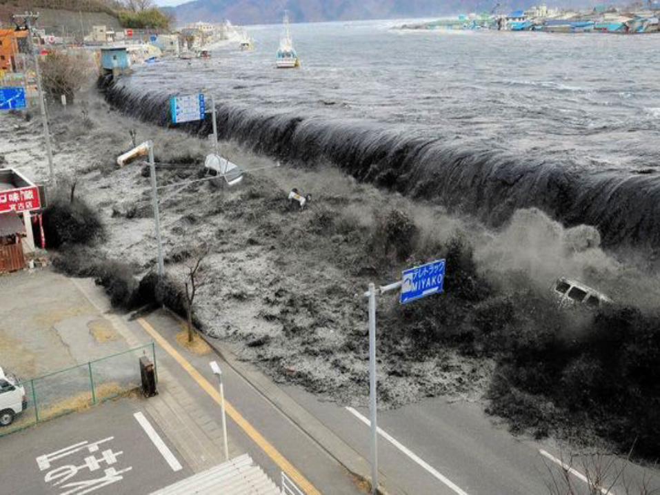
TSUNAMI
Japanese Pseudonym, A long high sea wave caused
by an earthquake or other amphibious disturbance
Example: The most prevalent (brought up in
conversation) and most recently was the devastating
Tsunami that obliterated Japan back in January of
2011 and also the Chilean Tsunami of 2010.

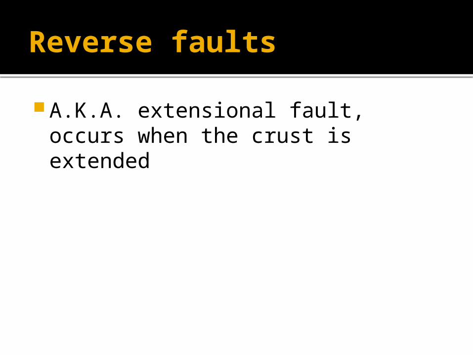
Reverse faults
A.K.A. extensional fault, occurs when the crust is extended

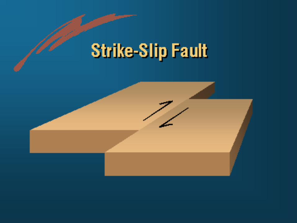
Strike-slip Faults
A fault surface that is usually near vertical and the footwall moves either left or right or laterally with very little vertical motion

Tension
Refers to a stretch which stretches rocks in two opposite directions

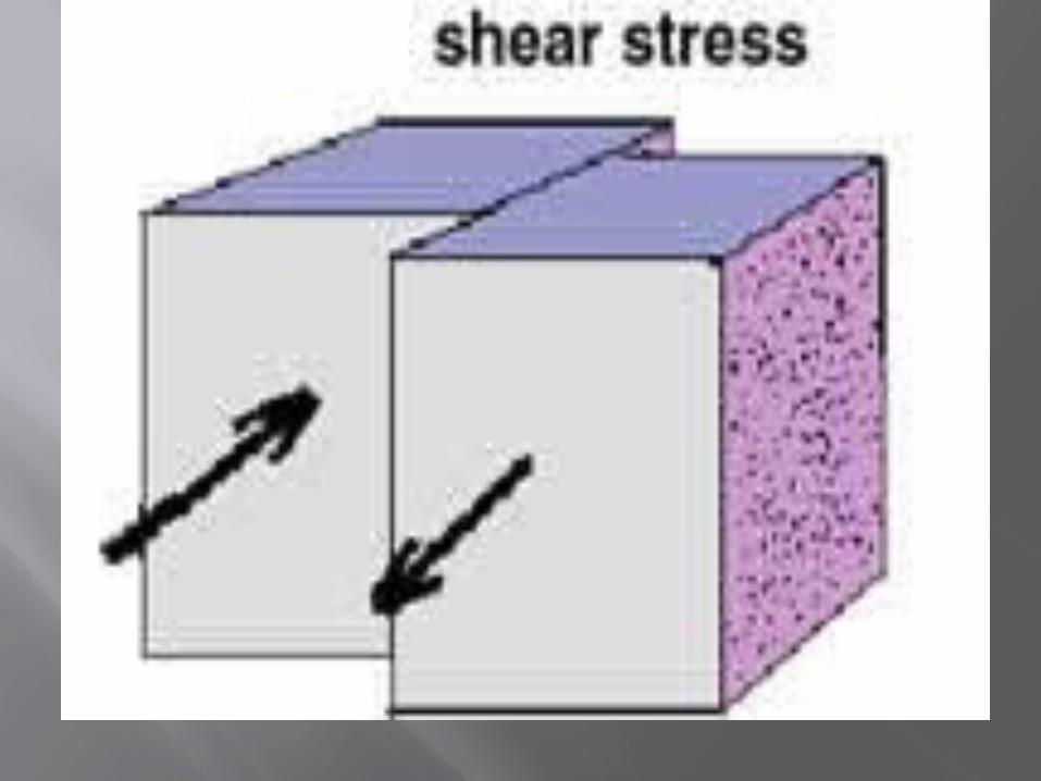
Shear stress
Distortion of a body by pushing a body in opposite directions


Works Cited page
http://maps.unomaha.edu/maher/plate/week3/contrift.html
http://en.wikipedia.org/wiki/Panthalassa http://en.wikipedia.org/wiki/Pangaea www.Google.com www.thefreedictionary.com http://en.wikipedia.org/wiki/Tectonic_uplift http://en.wikipedia.org/wiki/Explorer_Ridge http://en.wikipedia.org/wiki/Juan_de_Fuca_Plate http://en.wikipedia.org/wiki/Augustus_Edward_Hough
_Love http://wiki.answers.com/Q/How_are_seismic_waves_u
sed_to_provide_evidence_about_Earth%27s_interior www.tulane.edu/~sanelson/eens1110/volcanoes.htm