15th conference of the international association for ... · 15th conference of the international...
TRANSCRIPT

15th Conference of the
International Association for Official Statistics (IAOS)
Julio A. Santaella, Ph.D., President
National Institute of Statistics and Geography
7 december 2016
New data sources and tools to monitor SDGs
1

Millennium Development Goals
Background
2
• The monitoring process left several lessons:
Challenges regarding data gaps
A broader knowledge regarding various phenomena
Population and groups of interest have been left out
of the statistical count

Background
There is a new UN Agenda 2030:
Sustainable Development Goals
3
• Monitoring requires data to construct indicators with
Greater opportunity
Greater degree of disaggregation
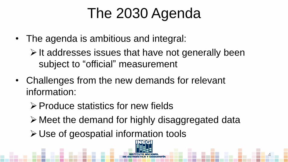
The 2030 Agenda
• The agenda is ambitious and integral:
It addresses issues that have not generally been
subject to “official” measurement
• Challenges from the new demands for relevant
information:
Produce statistics for new fields
Meet the demand for highly disaggregated data
Use of geospatial information tools
4

Geospatial information
• It facilitates the targeting of
indicators to support public
policies
• INEGI conducted a preliminary
exercise to analyze the global
indicator framework
5

Geospatial information
• 65 indicators meet these criteria:
6
Possibility of each indicator to be
georeferenced
Determine the level of geographic
disaggregation
Identification of the data producer
Possibility of deriving of information from the processing
of remote sensing imagery

Fundamental tool to track SDGs progress
• The GIS allows the visualization and analysis of geospatial data
• Promotes synergies between the production and use of
geographical information and statistics
People
S
e
r
v
i
c
e
s
Data
Metadata
Policies
Standards
Technology
The Spatial Data Infrastructure (SDI) as the means to
acquire and process data from different sources
Geographic Information System
7

• INEGI´s platform Digital Map of Mexico offers more than
200 vector data layers, more than 71 million geographic
objects and 4 raster layers
• Its information and spatial
representation can produce
geospatial indicators and
monitor them in space and
time
8
Fundamental tool to track SDGs progress

SDG´s and Environmental Statistics
• This is an opportunity to advocate for statistics on the
environment and climate change
• The available resources for this subject are valuable and
offer the possibility of new methods and lines of work to
boost the production of these statistics
• Data from the environment must be collected with the aid
of satellite imagery, and statistics may be produced
regularly
9

SDG´s and Earth Observations
• The data and information from
remote sensing observations could
support policies aimed to protect the
environment
• Earth observations also contribute to the implementation of
the 2030 Agenda and the SDG
10

SDG´s and Satellite Big Data
• The sensors and models that measure,
monitor and forecast our planet
produce millions of data for the
environment
• Big Data has the potential to
transform how environmental
impacts can take action on
sustainability
11

Satellite Data and SDG
• The value of satellite data:
It produces varied information through different
sensors
It can be used to make measurements of natural
resources
It contributes to transparency of information

Satellite Data and SDG
• Advantage of satellite images:
More frequency and opportunity
More value to monitor the results of public policies
The potential of data can be very high
Costs reduction
Feasible in zones which are difficult to access
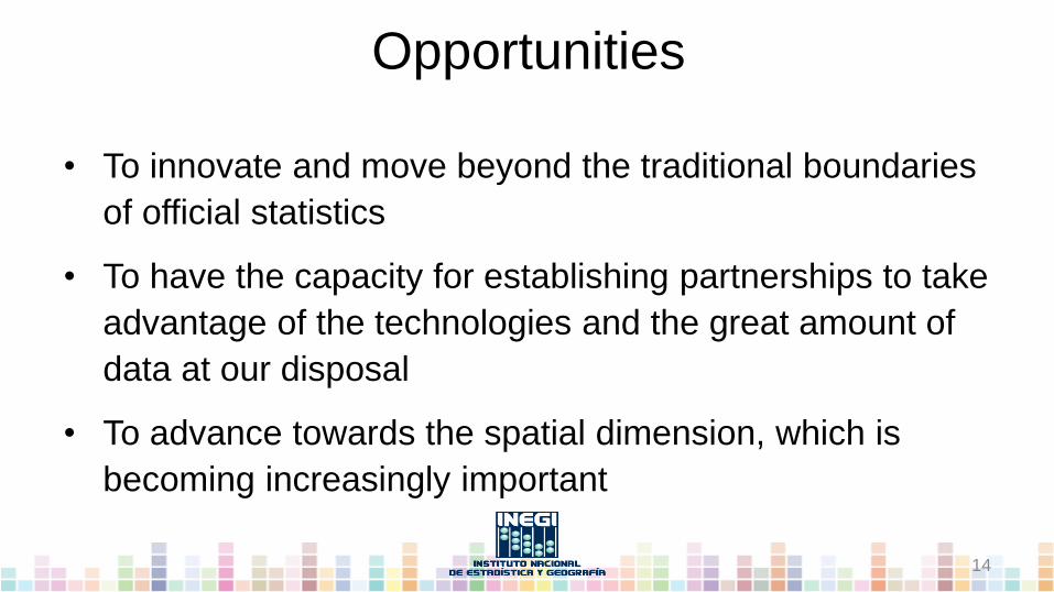
Opportunities
• To innovate and move beyond the traditional boundaries
of official statistics
• To have the capacity for establishing partnerships to take
advantage of the technologies and the great amount of
data at our disposal
• To advance towards the spatial dimension, which is
becoming increasingly important
14

Challenges
• Establishing strategic alliances with producers of
geographic information
• Mexico´s INEGI challenges:
Launching a comprehensive agenda
Understanding the interrelationships of the
environment with the economy and society
Integration of GIS as an "everyday" tool
15

15th Conference of the
International Association for Official Statistics (IAOS)
Julio A. Santaella, Ph.D., President
National Institute of Statistics and Geography
7 december 2016
New data sources and tools to monitor SDGs
16