2015 foss4g track: getting started with foss4g: the newbie’s perspective by marcelle caturia,...
TRANSCRIPT

Getting Started with FOSS4G: The Newbie’s Perspective
Marcelle Caturia, Ricardo Oliveira, Jon Duckworth GISITR - 2015
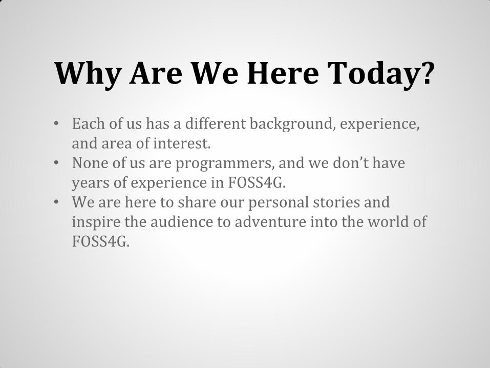
Why Are We Here Today?
• Each of us has a different background, experience, and area of interest.
• None of us are programmers, and we don’t have years of experience in FOSS4G.
• We are here to share our personal stories and inspire the audience to adventure into the world of FOSS4G.

Personal Stories

Marcelle Caturia

Background
MA in Applied Geography & Geospatial Science: UC-Denver
• Past GIS studies at University of Minnesota
Student Geographer Intern: US Geological Survey
• US-Topo Contour Support Team
FOSS4G Familiarity: 1 out of 5
• Beginning-level experience with MapServer
(FOSS4G tool for serving dynamic maps via Internet)

Encountering FOSS4G
Programming Experience: None
“GIS and the Internet” course at UMN, Steve Lime (MapServer Inventor)
MapServer hands-on experience
Resulted in two applied projects http://mapserver.org

• Two dynamic mapping websites, both using
MapServer + HTML + CSS + JavaScript
• US Army Corps of Engineers CRREL Lab
Internal website providing climate data for Alaska
• UMN Department of Forest Resources
Online teaching tool re: Water Resources in Minnesota
Projects using MapServer

FOSS4G Lessons Learned…

FOSS4G Lessons Learned…
1. No Fear!
• Don’t hesitate to dive in and ask questions
• Additional resources: Documentation, Listservs, more…
• You can learn a new tool, it just takes practice

FOSS4G Lessons Learned…
1. No Fear!
• Don’t hesitate to dive in and ask questions
• Additional resources: Documentation, Listservs, more…
• You can learn a new tool, it just takes practice
2. Focus on the "G“ (Geospatial) part of FOSS4G
• Geospatial concepts are independent of tools
• Might feel like learning a foreign language at first…
• But now I’m not intimidated by learning more FOSS4G

RICARDO OLIVEIRA

BACKGROUND
▪ Bachelors in Geography with a GIS certificate from UC-Denver
▪ Current student at the M.A in Applied Geography and Geospatial Science at UC-Denver
▪ Currently a Student Contractor at the USGS
▪ Provide Web-Mapping applications and other visualization solutions
▪ FOSS4G Familiarity: 2 out of 5

GETTING STARTED WITH FOSS4G… BUT WHY?
▪ Summer of 2014;
▪ Started with PostGIS because I wanted to learn about DBMS;
▪ No Spatial DBMS class on the GIS program;
▪ Chose PostgreSQL/PostGIS because it was free!
▪ Then I needed some desktop app to see the data, I chose QGIS.

WEB-MAPPING
In the Open-Source world things are more connected than what they appear at first.
Database
(PostGIS)

WEB-MAPPING
In the Open-Source world things are more connected than what they appear at first.
Database
(PostGIS)
Desktop App
(QGIS)

WEB-MAPPING
In the Open-Source world things are more connected than what they appear at first.
Database
(PostGIS) Build Web Maps
Desktop App
(QGIS)

WEB-MAPPING
In the Open-Source world things are more connected than what they appear at first.
Database
(PostGIS)
Web Service
(GeoServer) Build Web Maps
Desktop App
(QGIS)

WEB-MAPPING
In the Open-Source world things are more connected than what they appear at first.
Database
(PostGIS)
Web Service
(GeoServer) Build Web Maps
JavaScript
(Leaflet.js) HTML/CSS Desktop App
(QGIS)
Result...

WEB-MAPPING

TAKEAWAYS
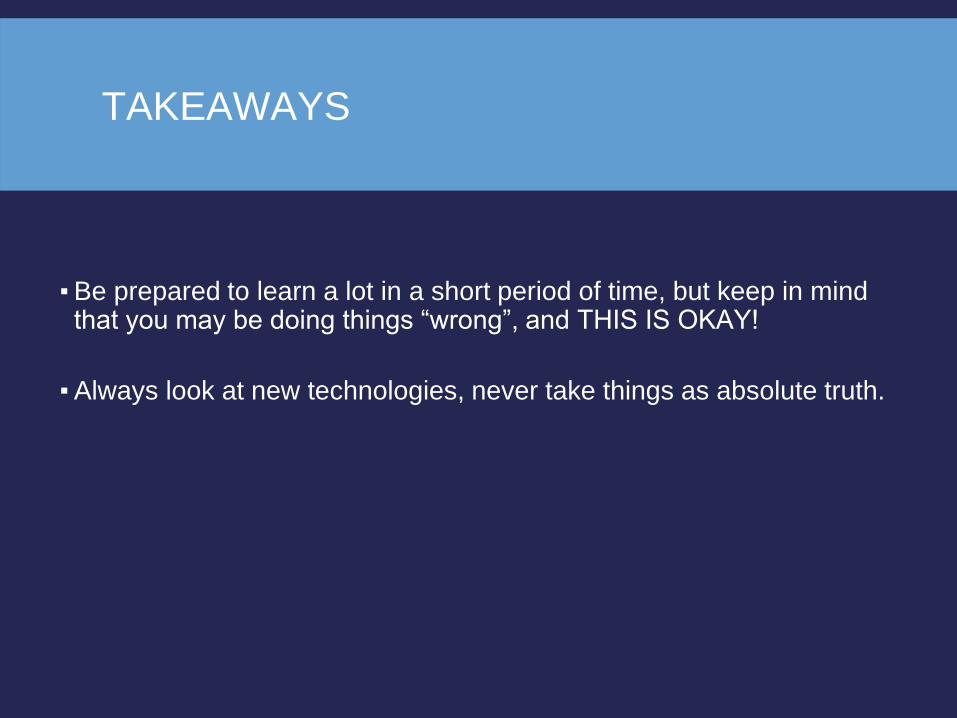
▪ Be prepared to learn a lot in a short period of time, but keep in mind that you may be doing things “wrong”, and THIS IS OKAY!
TAKEAWAYS
▪ Be prepared to learn a lot in a short period of time, but keep in mind that you may be doing things “wrong”, and THIS IS OKAY!
▪ Always look at new technologies, never take things as absolute truth.

TAKEAWAYS
▪ Be prepared to learn a lot in a short period of time, but keep in mind that you may be doing things “wrong”, and THIS IS OKAY!
▪ Always look at new technologies, never take things as absolute truth.
▪ Be curious, always look at the code of a map or web-page that you like. (right-click + inspect element).

Jon Duckworth

Background
M.Eng. - Civil Engineering | Univ. of Colorado Denver (2013- 2015) • Introduction to proprietary & FOSS4G software

Background
M.Eng. - Civil Engineering | Univ. of Colorado Denver (2013- 2015) • Introduction to proprietary & FOSS4G software
Intern & GIS Scientist | Nat. Renewable Energy Lab (2014-2015) • Web development, interactive data visualization, analysis

Background
M.Eng. - Civil Engineering | Univ. of Colorado Denver (2013- 2015) • Introduction to proprietary & FOSS4G software
Intern & GIS Scientist | Nat. Renewable Energy Lab (2014-2015) • Web development, interactive data visualization, analysis
FOSS4G Familiarity: 2 out of 5
HTML/CSS/JS PostgreSQL/PostGIS, GDAL/OGR Python R

How much of a newbie am I?


Course Work
Relational Database Management Systems Matt Krusemark, University of Colorado Denver
PostgreSQL/PostGIS GDAL/OGR
Deploying GIS Functionality on the Web Rafael Moreno, University of Colorado Denver
Proprietary web-GIS software HTML/CSS Mapserver

Volunteer Project

Volunteer Project
• Worked with Thorne Nature Experience (non-profit)
• Designed web interface • Managed and analyzed
data for reports


Data Management Spatial Analysis

Data Management Spatial Analysis
Data Type Conversion SRS Transformation

Data Management Spatial Analysis
Data Type Conversion SRS Transformation
Data Structure

Data Management Spatial Analysis
Data Type Conversion SRS Transformation
Data Structure
Web Mapping Interface Design

Data Management Spatial Analysis
Data Type Conversion SRS Transformation
Data Structure
Web Mapping Interface Design

NREL Internship

Lessons Learned
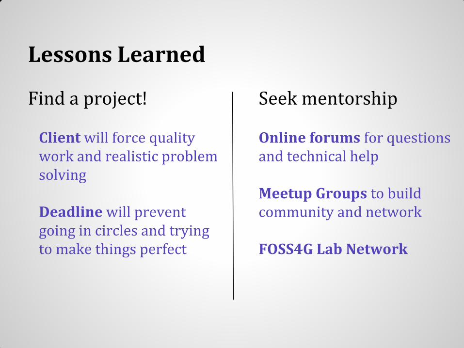
Find a project! Client will force quality work and realistic problem solving Deadline will prevent going in circles and trying to make things perfect
Lessons Learned
Find a project! Client will force quality work and realistic problem solving Deadline will prevent going in circles and trying to make things perfect
Seek mentorship Online forums for questions and technical help Meetup Groups to build community and network FOSS4G Lab Network
Overall Take Home Messages
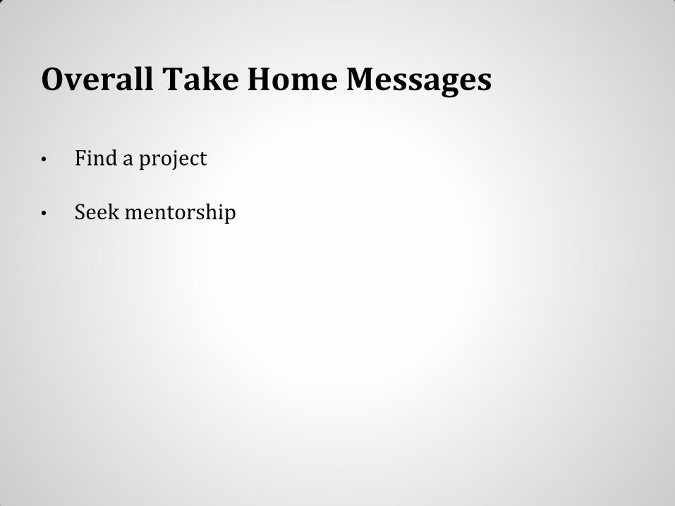
• Find a project
• Seek mentorship

Overall Take Home Messages
• Find a project
• Seek mentorship
• Look for examples
• Take advantage of resources

Overall Take Home Messages
• Find a project
• Seek mentorship
• Look for examples
• Take advantage of resources
• Focus on the Geospatial part of FOSS4G
• No fear!


Resources
UC Denver FOSS4G Lab: http://geospatial.ucdenver.edu/foss4g/
International Lab Network: http://www.geoforall.org/

Q & A
Time