5 occoquan reservoir source water protection planning … · 2016-11-22 · awwa water resources...
TRANSCRIPT

AWWA Water Resources Spring Seminar 2011
April 12, 2011
Niffy Saji
Fairfax Water
Occoquan Reservoir: Source Water
Protection and Planning
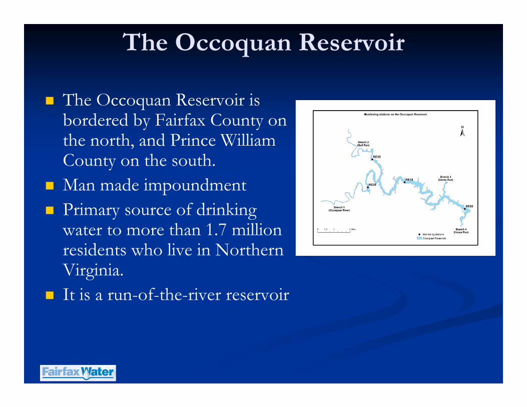
The Occoquan Reservoir
� The Occoquan Reservoir is bordered by Fairfax County on the north, and Prince William County on the south.
� Man made impoundment
� Primary source of drinking water to more than 1.7 million residents who live in Northern Virginia.
� It is a run-of-the-river reservoir
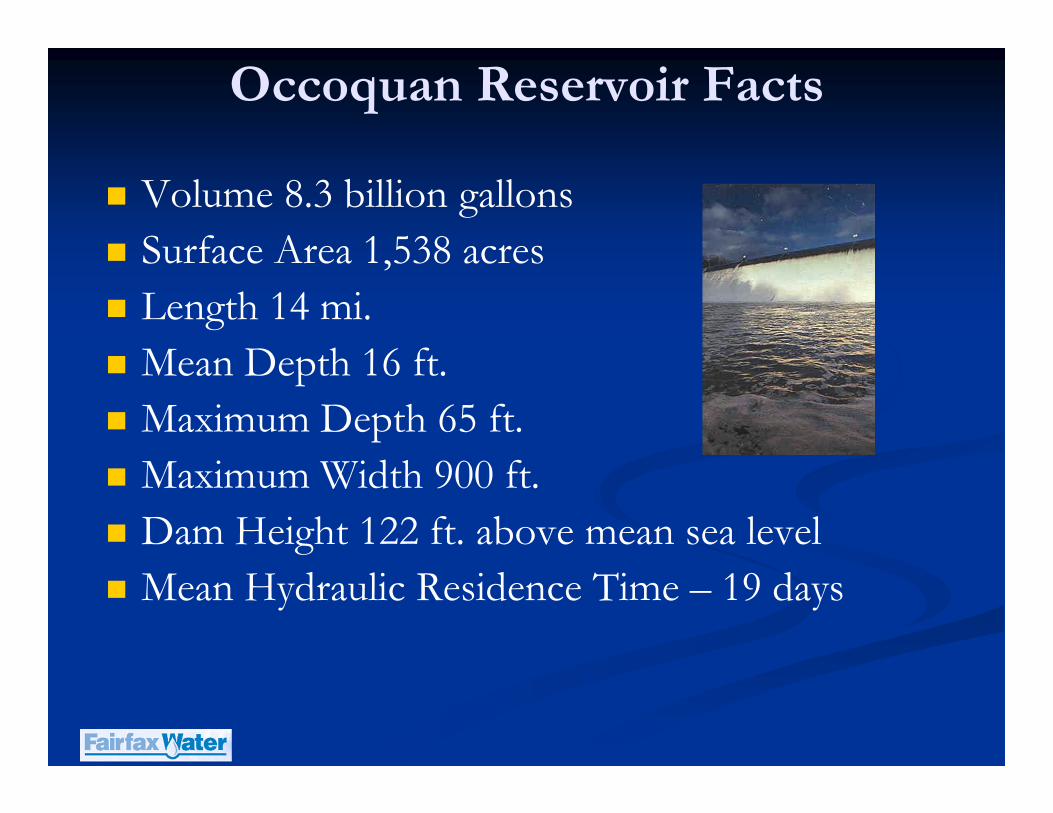
Occoquan Reservoir Facts
� Volume 8.3 billion gallons
� Surface Area 1,538 acres
� Length 14 mi.
� Mean Depth 16 ft.
� Maximum Depth 65 ft.
� Maximum Width 900 ft.
� Dam Height 122 ft. above mean sea level
� Mean Hydraulic Residence Time – 19 days
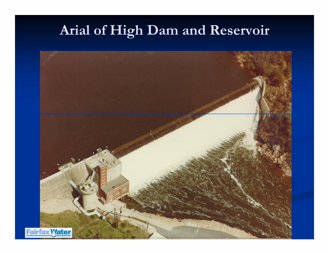
Arial of High Dam and Reservoir
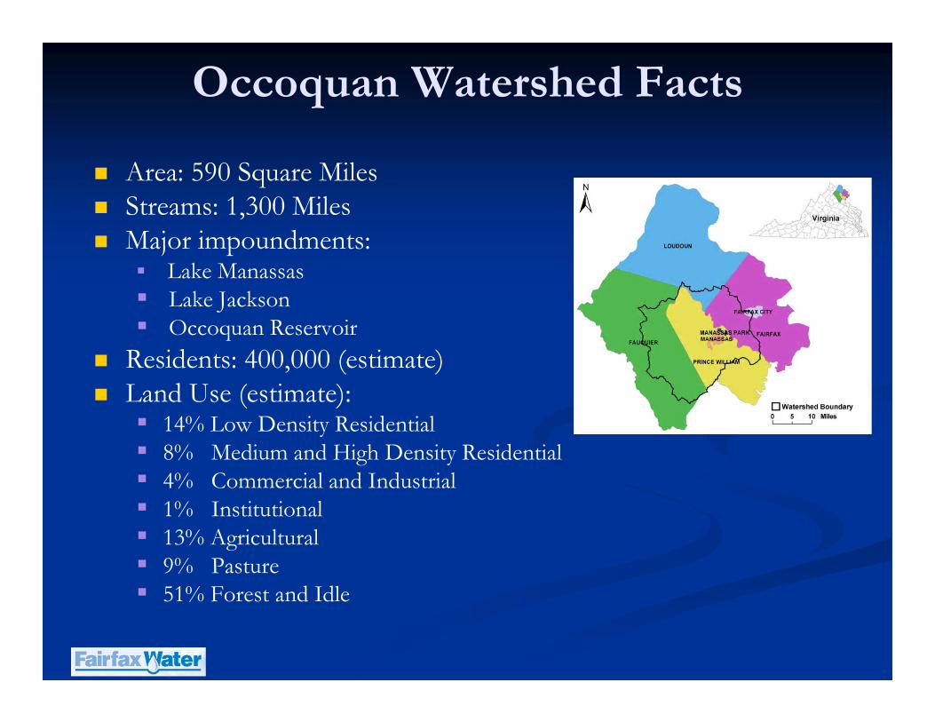
Occoquan Watershed Facts
� Area: 590 Square Miles
� Streams: 1,300 Miles
� Major impoundments:� Lake Manassas� Lake Jackson� Occoquan Reservoir
� Residents: 400,000 (estimate)
� Land Use (estimate):� 14% Low Density Residential� 8% Medium and High Density Residential� 4% Commercial and Industrial� 1% Institutional� 13% Agricultural� 9% Pasture� 51% Forest and Idle
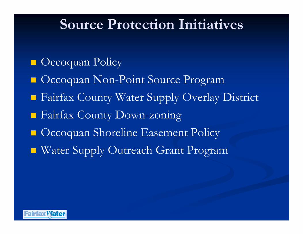
Source Protection Initiatives
� Occoquan Policy
� Occoquan Non-Point Source Program
� Fairfax County Water Supply Overlay District
� Fairfax County Down-zoning
� Occoquan Shoreline Easement Policy
� Water Supply Outreach Grant Program
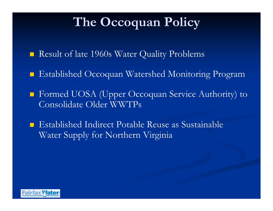
The Occoquan Policy
� Result of late 1960s Water Quality Problems
� Established Occoquan Watershed Monitoring Program
� Formed UOSA (Upper Occoquan Service Authority) to Consolidate Older WWTPs
� Established Indirect Potable Reuse as Sustainable Water Supply for Northern Virginia
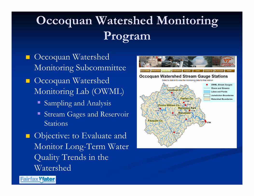
Occoquan Watershed Monitoring
Program
� Occoquan Watershed
Monitoring Subcommittee
� Occoquan Watershed
Monitoring Lab (OWML)
� Sampling and Analysis
� Stream Gages and Reservoir
Stations
� Objective: to Evaluate and
Monitor Long-Term Water
Quality Trends in the
Watershed
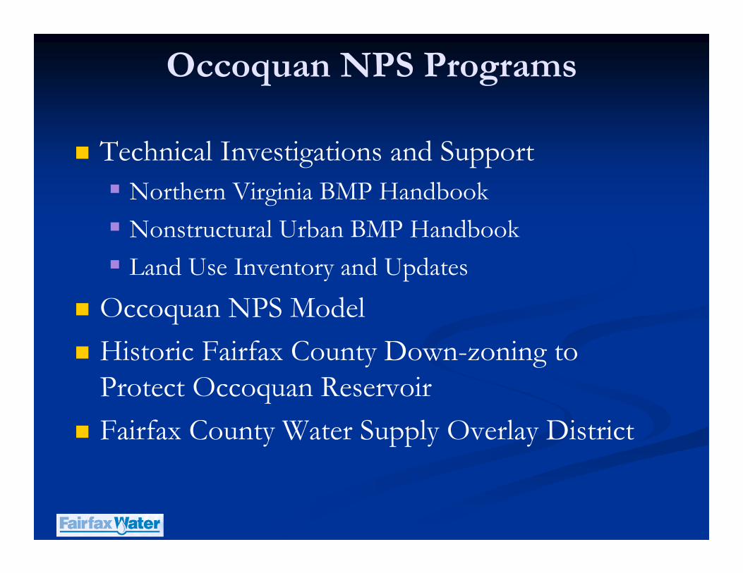
Occoquan NPS Programs
� Technical Investigations and Support
� Northern Virginia BMP Handbook
� Nonstructural Urban BMP Handbook
� Land Use Inventory and Updates
� Occoquan NPS Model
� Historic Fairfax County Down-zoning to Protect Occoquan Reservoir
� Fairfax County Water Supply Overlay District
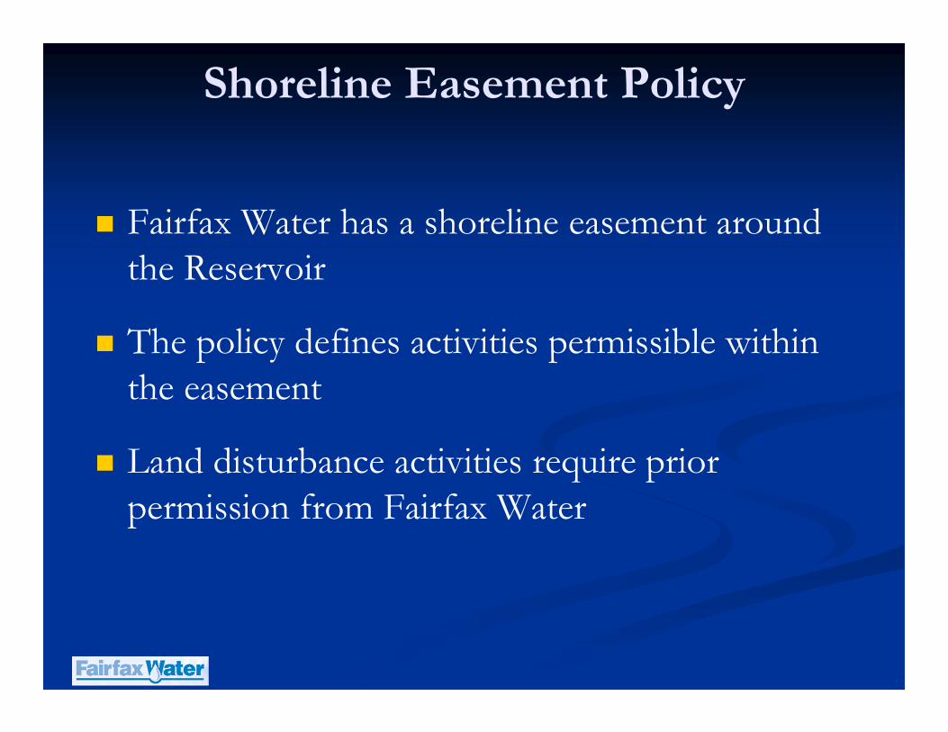
Shoreline Easement Policy
� Fairfax Water has a shoreline easement around the Reservoir
� The policy defines activities permissible within the easement
� Land disturbance activities require prior permission from Fairfax Water
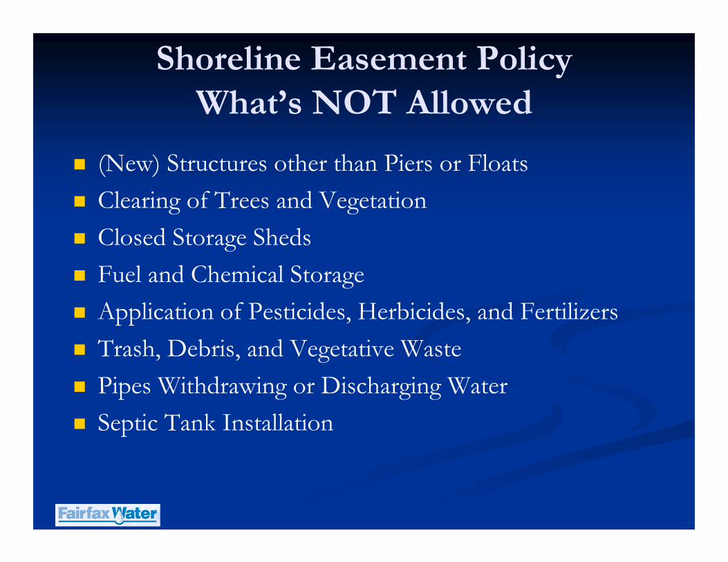
Shoreline Easement Policy
What’s NOT Allowed
� (New) Structures other than Piers or Floats
� Clearing of Trees and Vegetation
� Closed Storage Sheds
� Fuel and Chemical Storage
� Application of Pesticides, Herbicides, and Fertilizers
� Trash, Debris, and Vegetative Waste
� Pipes Withdrawing or Discharging Water
� Septic Tank Installation
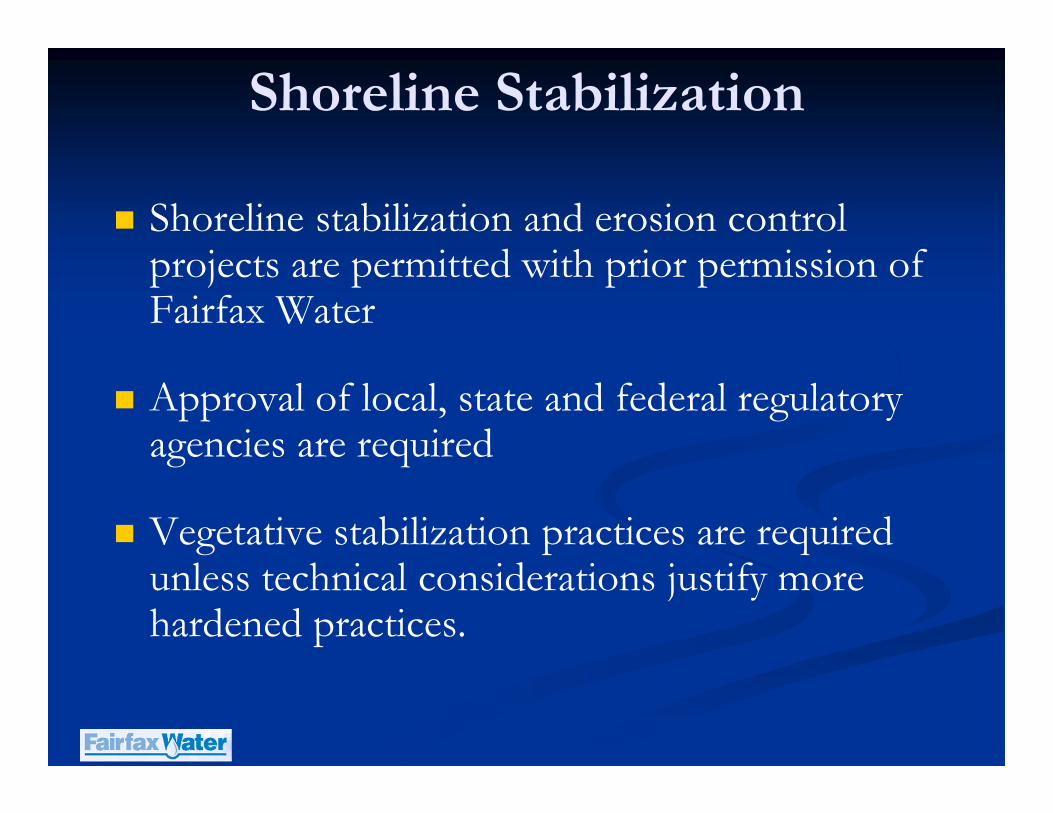
Shoreline Stabilization
� Shoreline stabilization and erosion control projects are permitted with prior permission of Fairfax Water
� Approval of local, state and federal regulatory agencies are required
� Vegetative stabilization practices are required unless technical considerations justify more hardened practices.
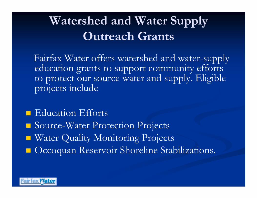
Watershed and Water Supply
Outreach Grants
Fairfax Water offers watershed and water-supply education grants to support community efforts to protect our source water and supply. Eligible projects include
� Education Efforts� Source-Water Protection Projects� Water Quality Monitoring Projects� Occoquan Reservoir Shoreline Stabilizations.

To improve Reservoir water quality near the water supply intake, FW is replacing a
Destratification aeration system with a Hypolimnetic Oxygenation System (HOS)
Existing System:
Destratification�Goal: break stratification & mix entire water column
�Compressed Air (150 SCFM)
�Diffuser: 32 aeration lines (7,500 ft)
�Aeration lines lay on reservoir bottom
New System:
Oxygenation (HOS)�Goal: aerate deep waters only
�Pure oxygen (50 SCFM)
�Diffuser: single line (2,500 ft: in former
riverbed )
�Diffuser is suspended off reservoir bottom
Reservoir Management
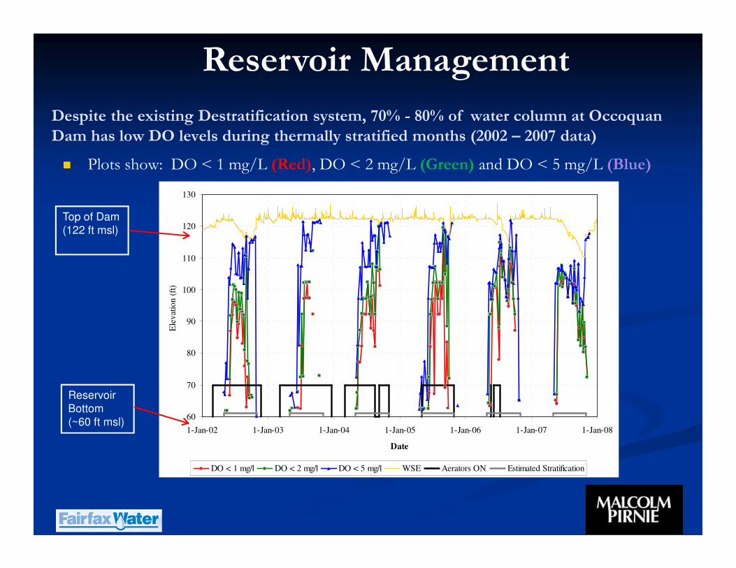
Despite the existing Destratification system, 70% - 80% of water column at Occoquan
Dam has low DO levels during thermally stratified months (2002 – 2007 data)
� Plots show: DO < 1 mg/L (Red), DO < 2 mg/L (Green) and DO < 5 mg/L (Blue)
60
70
80
90
100
110
120
130
1-Jan-02 1-Jan-03 1-Jan-04 1-Jan-05 1-Jan-06 1-Jan-07 1-Jan-08
Date
Ele
vat
ion
(ft
) _
DO < 1 mg/l DO < 2 mg/l DO < 5 mg/l WSE Aerators ON Estimated Stratification
Top of Dam
(122 ft msl)
Reservoir
Bottom
(~60 ft msl)
Reservoir Management

A Hypolimnetic Oxygenation System (HOS) aerates the oxygen-deficient
zone (Red area) without trying to mix the Reservoir water column……..“works
with Mother Nature”
Bottom Intake (80 ft)
Middle Intake (95 ft)
Top Intake (110 ft)
+
Top of Dam (122 ft)
+
+
112 ft
100 Ft
Epilimnion
Thermocline
Hypolimnion
Key
Hypolimnetic Aeration System
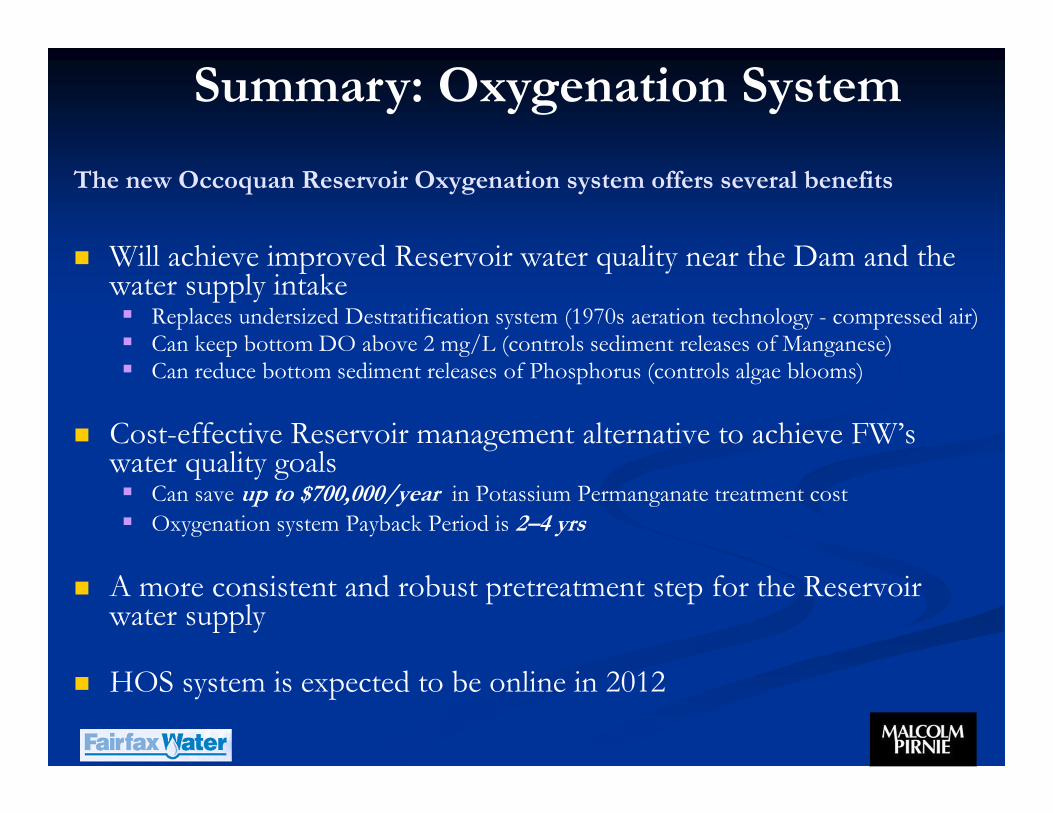
The new Occoquan Reservoir Oxygenation system offers several benefits
� Will achieve improved Reservoir water quality near the Dam and the water supply intake� Replaces undersized Destratification system (1970s aeration technology - compressed air)� Can keep bottom DO above 2 mg/L (controls sediment releases of Manganese)� Can reduce bottom sediment releases of Phosphorus (controls algae blooms)
� Cost-effective Reservoir management alternative to achieve FW’s water quality goals � Can save up to $700,000/year in Potassium Permanganate treatment cost
� Oxygenation system Payback Period is 2–4 yrs
� A more consistent and robust pretreatment step for the Reservoir water supply
� HOS system is expected to be online in 2012
Summary: Oxygenation System
Questions/Comments