adding ecological context to efh models using ... · pdf fileanalysis of grain size...
TRANSCRIPT
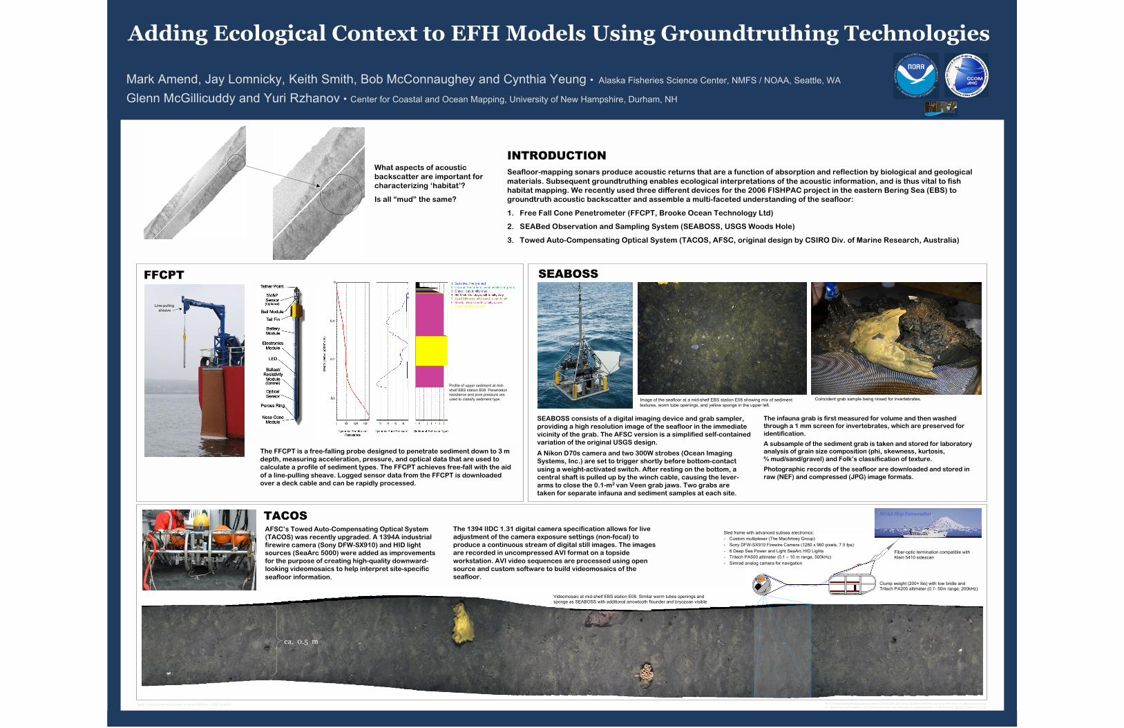
What aspects of acoustic
backscatter are important for
characterizing ‘habitat’?
Is all “mud” the same?
INTRODUCTION
Seafloor-mapping sonars produce acoustic returns that are a function of absorption and reflection by biological and geological
materials. Subsequent groundtruthing enables ecological interpretations of the acoustic information, and is thus vital to fish
habitat mapping. We recently used three different devices for the 2006 FISHPAC project in the eastern Bering Sea (EBS) to
groundtruth acoustic backscatter and assemble a multi-faceted understanding of the seafloor:
1. Free Fall Cone Penetrometer (FFCPT, Brooke Ocean Technology Ltd)
2. SEABed Observation and Sampling System (SEABOSS, USGS Woods Hole)
3. Towed Auto-Compensating Optical System (TACOS, AFSC, original design by CSIRO Div. of Marine Research, Australia)
SEABOSS
TACOS
FFCPT
The FFCPT is a free-falling probe designed to penetrate sediment down to 3 m
depth, measuring acceleration, pressure, and optical data that are used to
calculate a profile of sediment types. The FFCPT achieves free-fall with the aid
of a line-pulling sheave. Logged sensor data from the FFCPT is downloaded
over a deck cable and can be rapidly processed.
The infauna grab is first measured for volume and then washedthrough a 1 mm screen for invertebrates, which are preserved for
identification.
A subsample of the sediment grab is taken and stored for laboratoryanalysis of grain size composition (phi, skewness, kurtosis,
% mud/sand/gravel) and Folk’s classification of texture.
Photographic records of the seafloor are downloaded and stored in
raw (NEF) and compressed (JPG) image formats.
AFSC’s Towed Auto-Compensating Optical System
(TACOS) was recently upgraded. A 1394A industrial
firewire camera (Sony DFW-SX910) and HID light
sources (SeaArc 5000) were added as improvements
for the purpose of creating high-quality downward-
looking videomosaics to help interpret site-specific
seafloor information.
The 1394 IIDC 1.31 digital camera specification allows for live
adjustment of the camera exposure settings (non-focal) to
produce a continuous stream of digital still images. The images
are recorded in uncompressed AVI format on a topside
workstation. AVI video sequences are processed using open
source and custom software to build videomosaics of the
seafloor.
ca. 0.5 m
SEABOSS consists of a digital imaging device and grab sampler,
providing a high resolution image of the seafloor in the immediate
vicinity of the grab. The AFSC version is a simplified self-contained
variation of the original USGS design.
A Nikon D70s camera and two 300W strobes (Ocean Imaging
Systems, Inc.) are set to trigger shortly before bottom-contact
using a weight-activated switch. After resting on the bottom, a
central shaft is pulled up by the winch cable, causing the lever-
arms to close the 0.1-m2 van Veen grab jaws. Two grabs are
taken for separate infauna and sediment samples at each site.
Line-pulling
sheave
Image of the seafloor at a mid-shelf EBS station E08 showing mix of sediment
textures, worm tube openings, and yellow sponge in the upper left.
Videomosaic at mid-shelf EBS station E08. Similar worm tubes openings and
sponge as SEABOSS with additional arrowtooth flounder and bryozoan visible
Profile of upper sediment at mid-
shelf EBS station E08. Penetration
resistance and pore pressure are
used to classify sediment type.
Adding Ecological Context to EFH Models Using Groundtruthing Technologies
Mark Amend, Jay Lomnicky, Keith Smith, Bob McConnaughey and Cynthia Yeung • Alaska Fisheries Science Center, NMFS / NOAA, Seattle, WA
Glenn McGillicuddy and Yuri Rzhanov • Center for Coastal and Ocean Mapping, University of New Hampshire, Durham, NH
Coincident grab sample being rinsed for invertebrates.
Sled frame with advanced subsea electronics:
- Custom multiplexer (The MacArtney Group)
- Sony DFW-SX910 Firewire Camera (1280 x 960 pixels, 7.5 fps)
- 6 Deep Sea Power and Light SeaArc HID Lights
- Tritech PA500 altimeter (0.1 – 10 m range, 500kHz)
- Simrad analog camera for navigation
NOAA Ship Fairweather
Clump weight (200+ lbs) with tow bridle and
Tritech PA200 altimeter (0.7- 50m range, 200kHz)
Fiber-optic termination compatible with
Klein 5410 sidescan
The recommendations and general content presented in this poster do not necessarily represent the views or official position of
the Department of Commerce, the National Oceanic and Atmospheric Administration, or the National Marine Fisheries Service.poster produced with the assistance of Karna McKinney, AFSC Graphics