aerial data service, inc. company brochure
DESCRIPTION
Information about Aerial Data Service, Inc. and what they provide as a whole to the industry.TRANSCRIPT
AERIAL DATA SERVICE, INC.
AERIAL DATA SERVICE, INC.
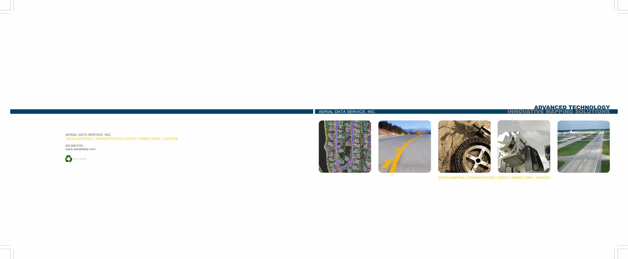
DIGITAL MAPPING | TRANSPORTATION | SURVEY | MOBILE LIDAR | AVIATION 800.888.9163
www.aerialdata.com
Please Recycle
DIGITAL MAPPING | TRANSPORTATION | SURVEY | MOBILE LIDAR | AVIATION
INNOVATIVE MAPPING SOLUTIONS
ADVANCED TECHNOLOGY
geospatial solutions
Aerial Data Service, Inc. (ADS) has been providing geospatial solutions
since 1964. With offices in Tulsa, Oklahoma, and Austin, Texas, ADS
provides aerial photography, surveying and mapping services to hun-
dreds of engineering firms and governmental agencies across the
country.
ADS is dedicated to providing quality work using the most sophisti-
cated technology available in the industry. ADS is a 100-percent
woman-owned small business and certified through the Small Busi-
ness Administration as a Historically Underutilized Business (HUB
Zone). ADS currently employs a staff of 37, including three American
Society of Photogrammetry and Remote Sensing (ASPRS) Certified
Photogrammetrists, two Geographical Information System Profession-
als (GISP), two Registered Land Surveyors and two ATP Rated Profes-
sional Pilots, who together comprise over 100 years of cumulative
experience.
No matter the survey and mapping requirement, you can count on
ADS to meet it. ADS has the capability to merge multiple data sets
derived from airborne, mobile and terrestrial LiDAR with photogram-
metry. This fusion of data creates an even more robust geospatial
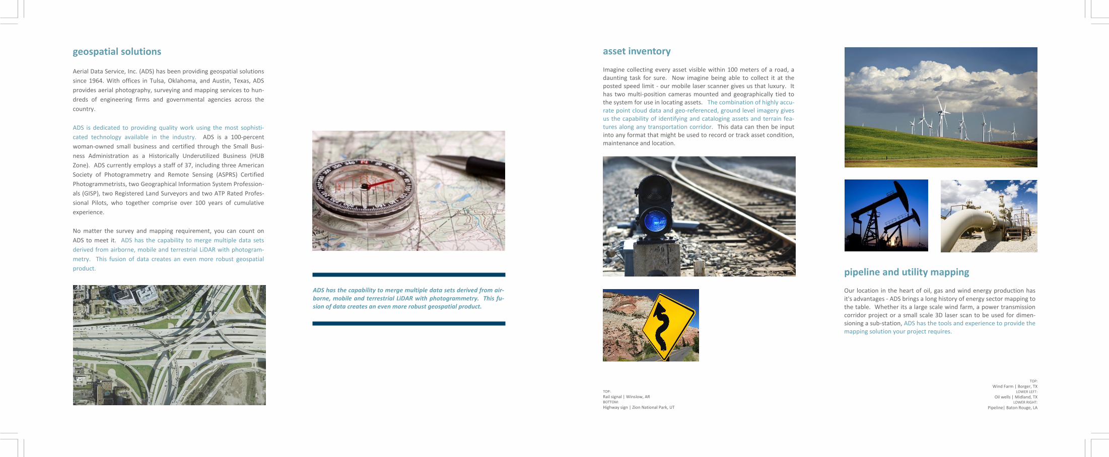
product. pipeline and utility mapping Our location in the heart of oil, gas and wind energy production has it's advantages - ADS brings a long history of energy sector mapping to the table. Whether its a large scale wind farm, a power transmission corridor project or a small scale 3D laser scan to be used for dimen-sioning a sub-station, ADS has the tools and experience to provide the mapping solution your project requires.
asset inventory Imagine collecting every asset visible within 100 meters of a road, a daunting task for sure. Now imagine being able to collect it at the posted speed limit - our mobile laser scanner gives us that luxury. It has two multi-position cameras mounted and geographically tied to the system for use in locating assets. The combination of highly accu-rate point cloud data and geo-referenced, ground level imagery gives us the capability of identifying and cataloging assets and terrain fea-tures along any transportation corridor. This data can then be input into any format that might be used to record or track asset condition, maintenance and location.
TOP:
Rail signal | Winslow, AR BOTTOM:
Highway sign | Zion National Park, UT
TOP:
Wind Farm | Borger, TX LOWER LEFT:
Oil wells | Midland, TX LOWER RIGHT:
Pipeline| Baton Rouge, LA
ADS has the capability to merge multiple data sets derived from air-borne, mobile and terrestrial LiDAR with photogrammetry. This fu-sion of data creates an even more robust geospatial product.
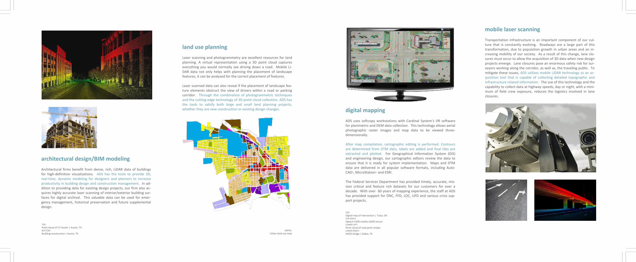
digital mapping ADS uses softcopy workstations with Cardinal System’s VR software for planimetric and DEM data collection. This technology allows aerial photographic raster images and map data to be viewed three-dimensionally. After map compilation, cartographic editing is performed. Contours are determined from DTM data, labels are added and final tiles are extracted and plotted. For Geographical Information System (GIS) and engineering design, our cartographic editors review the data to ensure that it is ready for system implementation. Maps and DTM data are delivered in all popular software formats, including Auto-CAD®, MicroStation® and ESRI. The Federal Services Department has provided timely, accurate, mis-sion critical and feature rich datasets for our customers for over a decade. With over 60 years of mapping experience, the staff at ADS has provided support for DNC, FFD, LOC, UFD and various crisis sup-port projects.
TOP:
Digital map of intersection | Tulsa, OK TOP RIGHT:
Optech V200 mobile LiDAR sensor LOWER LEFT:
Point cloud of road paint stripes LOWER RIGHT:
IH635 bridge | Dallas, TX
mobile laser scanning
Transportation infrastructure is an important component of our cul-ture that is constantly evolving. Roadways are a large part of this transformation, due to population growth in urban areas and an in-creasing mobility of our society. As a result of this change, lane clo-sures must occur to allow the acquisition of 3D data when new design projects emerge. Lane closures pose an enormous safety risk for sur-veyors working along the corridor, as well as, the traveling public. To mitigate these issues, ADS utilizes mobile LiDAR technology as an ac-quisition tool that is capable of collecting detailed topographic and infrastructure related information. The use of this technology and the capability to collect data at highway speeds, day or night, with a mini-mum of field crew exposure, reduces the logistics involved in lane closures.
land use planning Laser scanning and photogrammetry are excellent resources for land planning. A virtual representation using a 3D point cloud captures everything you would normally see driving down a road. Mobile Li-DAR data not only helps with planning the placement of landscape features, it can be analyzed for the correct placement of features. Laser scanned data can also reveal if the placement of landscape fea-ture elements obstruct the view of drivers within a road or parking corridor. Through the combination of photogrammetric techniques and the cutting edge technology of 3D point cloud collection, ADS has the tools to satisfy both large and small land planning projects, whether they are new construction or existing design changes.
ABOVE:
Urban land use map
architectural design/BIM modeling Architectural firms benefit from dense, rich, LiDAR data of buildings for high-definition visualizations. ADS has the tools to provide 3D, real-time, dynamic modeling for designers and planners to increase productivity in building design and construction management. In ad-dition to providing data for existing design projects, our firm also ac-quires highly accurate laser scanning of interior/exterior building sur-faces for digital archival. This valuable data can be used for emer-gency management, historical preservation and future supplemental design.
TOP:
Point cloud of UT-Austin | Austin, TX BOTTOM:
Building construction | Austin, TX

TOP:
Rail infrastructure point cloud | Tulsa, OK BOTTOM:
Rail tracks | Winslow, AR
TOP:
IH-65 | Indianapolis, IN LOWER LEFT:
Loop 410 | San Antonio, TX LOWER RIGHT:
Bridge construction | Houston, TX
transportation ADS has the ability to map roadway infrastructure using photogram-metric, airborne or mobile LiDAR technologies. In addition, ADS util-izes an in-house process to integrate photogrammetry with LiDAR to offer dynamic geospatial data fusion. This allows us to utilize more than one tool to meet or exceed project accuracy requirements in a very efficient and cost effective manner. ADS provides turn-key map-ping for transportation projects across the country.
rail infrastructure The rail industry is looking for a safe, fast and cost effective way to collect track information and assets within their right of way. Federal mandates for Positive Train Control (PTC) were recently set to facili-tate safer and more efficient use of limited rail resources for both passenger and freight transportation. ADS has the effective data col-lection solution using mobile LiDAR and photogrammetry for railway corridors.
aviation ADS provides field survey, aerial photography, photogrammetric data collection and LiDAR collection for Airspace Analysis, Runway map-ping and electronic Airport Layout Plans. We utilize these technolo-gies and extensive experience in the delivery of design mapping as per the latest FAA guidelines.
AC 150/5300-16A
AC 150/5300-17B
AC 150/5300-18B
TOP:
Runway point cloud | Tulsa International Airport BOTTOM:
Wichita Mid-Continent Airport | Wichita, KS
water resources ADS has the ability to acquire water resource data from an aerial mis-sion or from vehicular/watercraft platforms. No matter how difficult an areas access, ADS has multiple tools to get the job done. ADS has experience with the Federal Emergency Management Agency (FEMA), the U.S. Army Corps of Engineers and many other federal, state, and municipal clients providing levee, watershed management, mine rec-lamation and flood plain assessment mapping.
TOP:
Levee point cloud | Baton Rouge, LA BOTTOM:
Imperial Dam | Yuma County, AZ