alk maps - index - build
TRANSCRIPT
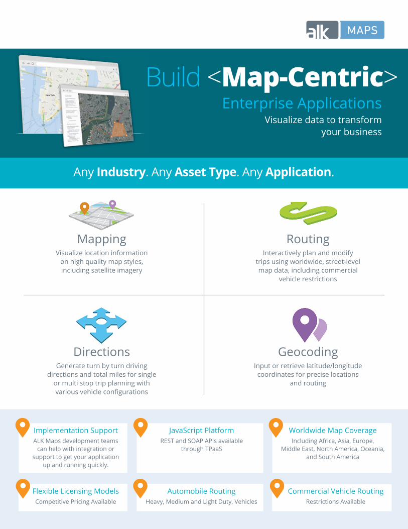
Enterprise Applications
Visualize data to transform your business
Build <Map-Centric>
MappingVisualize location information
on high quality map styles, including satellite imagery
DirectionsGenerate turn by turn driving
directions and total miles for single or multi stop trip planning with various vehicle configurations
RoutingInteractively plan and modify
trips using worldwide, street-level map data, including commercial
vehicle restrictions
GeocodingInput or retrieve latitude/longitude coordinates for precise locations
and routing
Any Industry. Any Asset Type. Any Application.
JavaScript Platform REST and SOAP APIs available
through TPaaS
Implementation SupportALK Maps development teams
can help with integration or support to get your application
up and running quickly.
Worldwide Map CoverageIncluding Africa, Asia, Europe,
Middle East, North America, Oceania, and South America
Automobile Routing Heavy, Medium and Light Duty, Vehicles
Flexible Licensing ModelsCompetitive Pricing Available
Commercial Vehicle Routing
Restrictions Available

Beyond the BasicsWe’ve got a rich suite of APIs for building specific business applications. Here’s just a few:
Weather Overlays & AlertsVisualize live weather data, view
potential impacts to route plans, and send alerts to managers for improved
decision making
Advanced Route OptimizationIncorporate stop time windows into
a route plan for appropriate trip sequencing, increased drive
productivity and asset utilization
Traffic Camera ViewsGain deeper insight into traffic, accidents and other conditions
by viewing regularly updated live images of the roads
Commercial Vehicle RoutingUtilize industry standard PC*MILER truck routing restrictions based on
vehicle height, weight, and load to keep assets safe
Road ConditionsDisplay current and predictive road
conditions to gauge potential impacts on the route plan. Road conditions are
designated as dry, wet/slippery, water/snow and ice/snow
Traffic & Incident ReportingView real-time and historic
traffic conditions, as well asexisting traffic incidents, for accurate
ETA calculations
Enhance ALK Maps with Consistent In-Vehicle Routing and NavigationGet consistent mapping, routes, and results by using ALK‘s single source of map data in the back office and on the drivers‘ device.
Get a demo or access our JavaScript Guide & API Documentation at [email protected]