an overview of 3s technology (gis/gps/rs) with an example of district transport master plan (dtmp)...
TRANSCRIPT
An Overviewof
3S Technology (GIS/GPS/RS)with an Example of
District Transport Master Plan (DTMP)
By Binod Dhakal
[email protected]/20/2014 Binod Dhakal 1
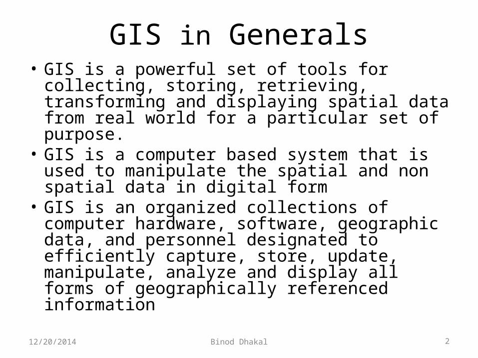
GIS in Generals• GIS is a powerful set of tools for collecting,
storing, retrieving, transforming and displaying spatial data from real world for a particular set of purpose.
• GIS is a computer based system that is used to manipulate the spatial and non spatial data in digital form
• GIS is an organized collections of computer hardware, software, geographic data, and personnel designated to efficiently capture, store, update, manipulate, analyze and display all forms of geographically referenced information
12/20/2014 Binod Dhakal 2
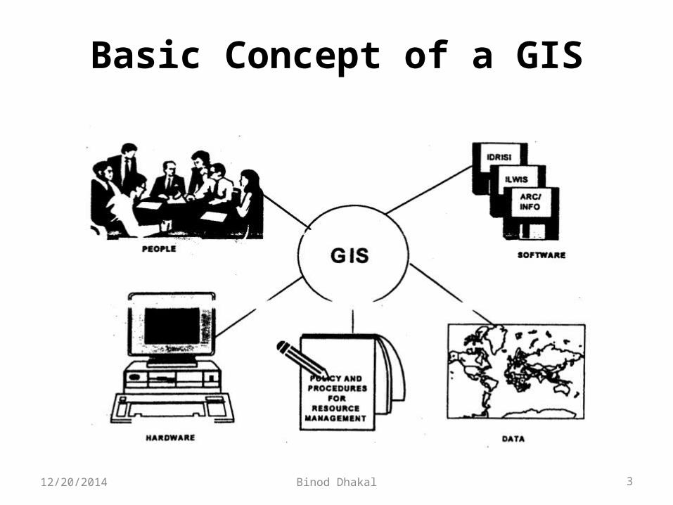
Basic Concept of a GIS
12/20/2014 Binod Dhakal 3
Function of GIS• Capturing• storing• updating• manipulate• analyze• Displaying i.e. presentation all forms of
geographically referenced information
12/20/2014 Binod Dhakal 4

Methods of capturing data
• Survey method• Digitizing Using digitizing tablets On-screen digitizing
• Scanning• Using GPS• Remote Sensing12/20/2014 Binod Dhakal 5
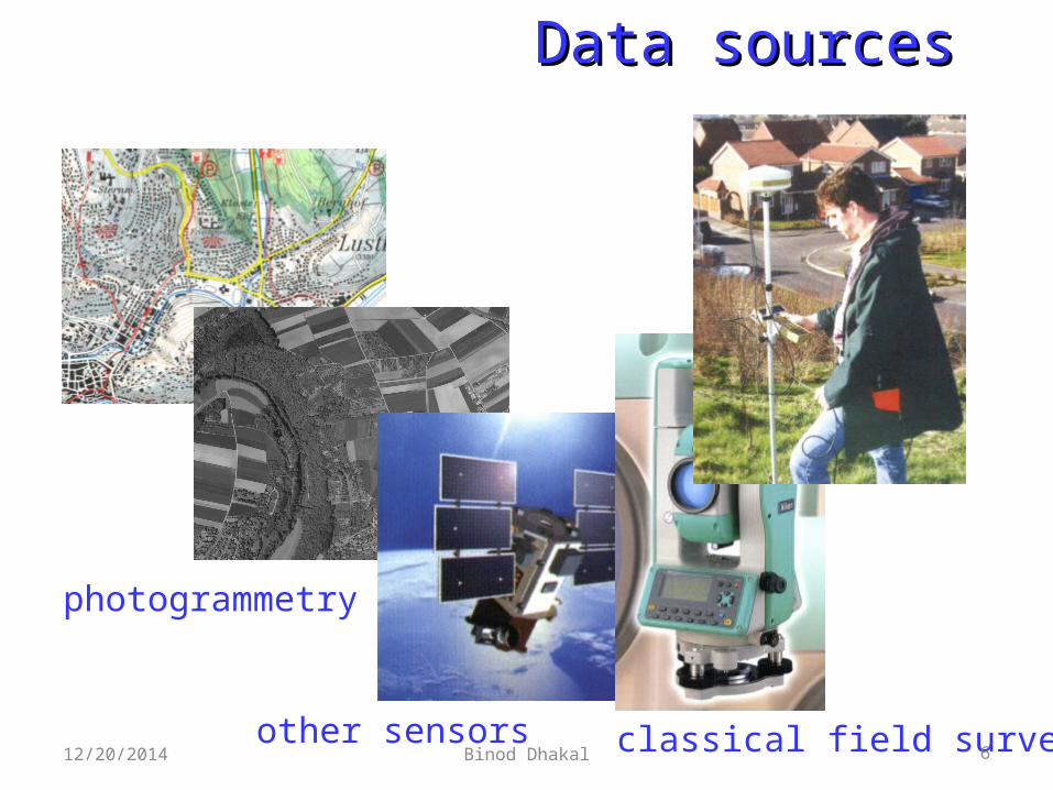
photogrammetry
other sensors classical field survey
Data sourcesData sources
12/20/2014 Binod Dhakal 6
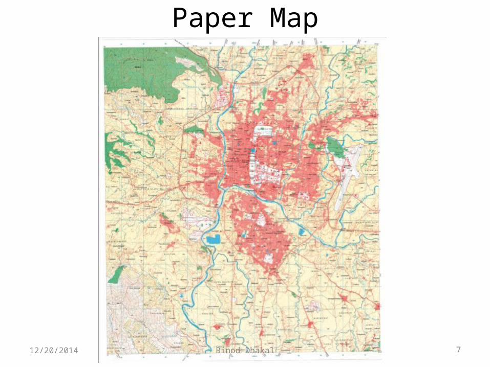
Paper Map
12/20/2014 Binod Dhakal 7

DigitizerDigitizer
12/20/2014 Binod Dhakal 8

ScannerScanner
Flat bed Scanner
Drum Scanner
Drum Scanner
12/20/2014 Binod Dhakal 9
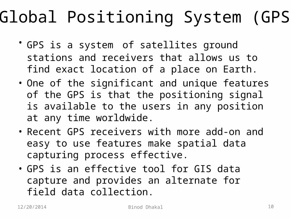
• GPS is a system of satellites ground stations and receivers that allows us to find exact location of a place on Earth.
• One of the significant and unique features of the GPS is that the positioning signal is available to the users in any position at any time worldwide.
• Recent GPS receivers with more add-on and easy to use features make spatial data capturing process effective.
• GPS is an effective tool for GIS data capture and provides an alternate for field data collection.
Global Positioning System (GPS)
12/20/2014 Binod Dhakal 10

GPSGlobal Positioning System
Handheld GIS data collection systemHandheld GIS data collection system
12/20/2014 Binod Dhakal 11

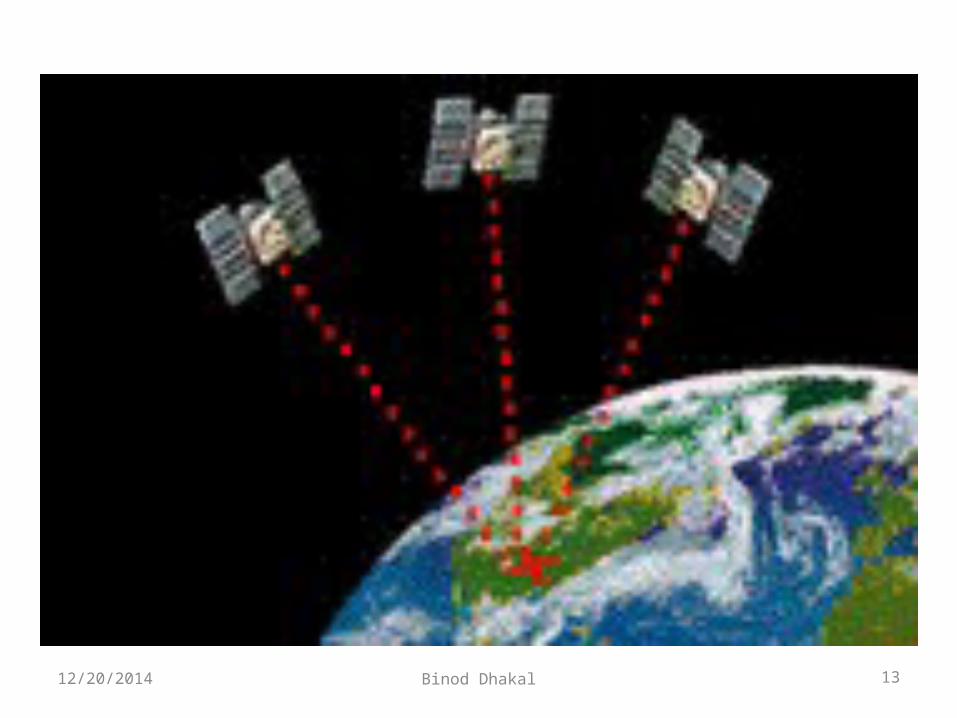
How GPS works?
12/20/2014 Binod Dhakal 12
12/20/2014 Binod Dhakal 13
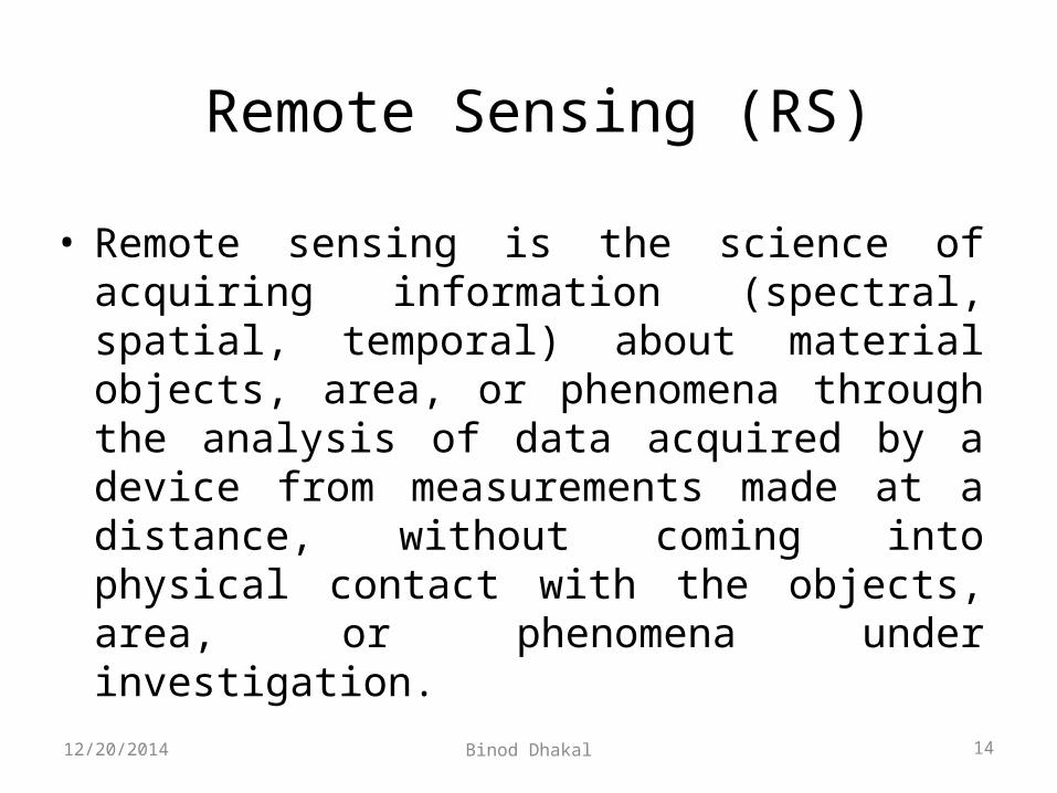
• Remote sensing is the science of acquiring information (spectral, spatial, temporal) about material objects, area, or phenomena through the analysis of data acquired by a device from measurements made at a distance, without coming into physical contact with the objects, area, or phenomena under investigation.
Remote Sensing (RS)
12/20/2014 Binod Dhakal 14

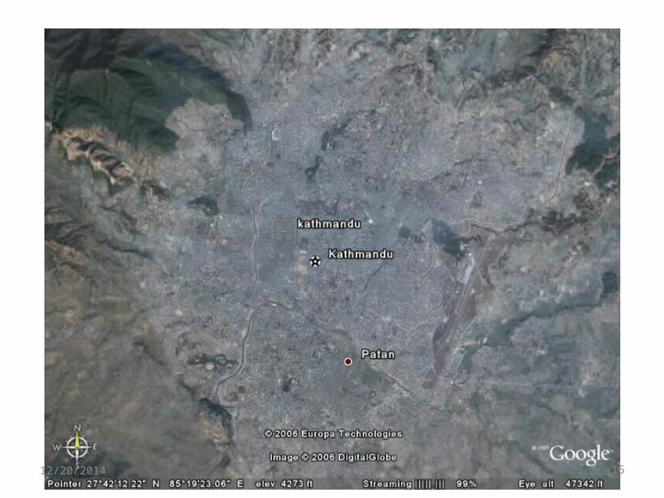
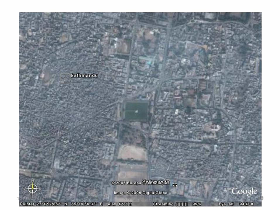
Satellite Image
12/20/2014 Binod Dhakal 15
12/20/2014 Binod Dhakal 16

12/20/2014 Binod Dhakal 17
12/20/2014 Binod Dhakal 18
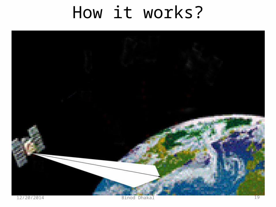
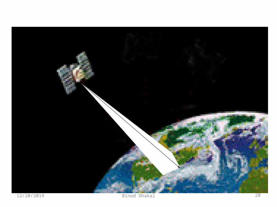
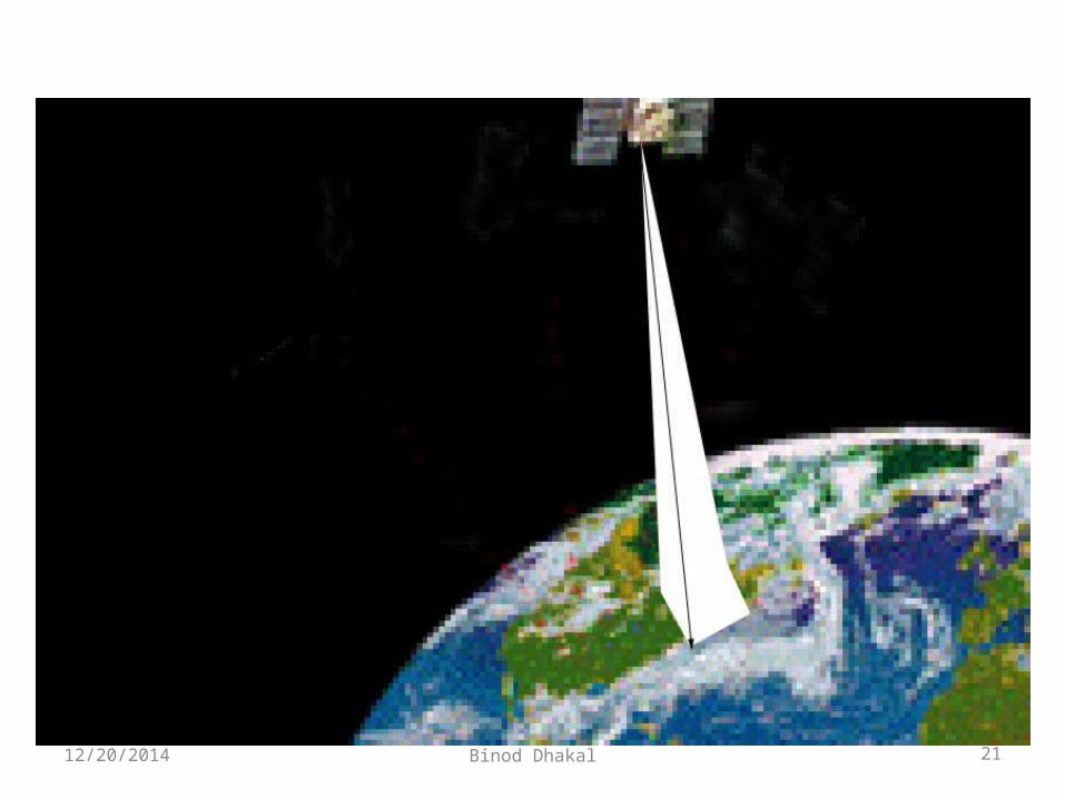
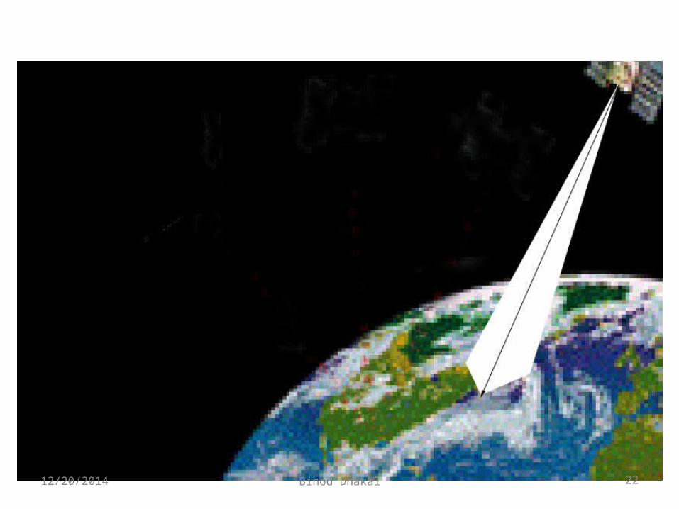
How it works?
12/20/2014 Binod Dhakal 19
12/20/2014 Binod Dhakal 20
12/20/2014 Binod Dhakal 21
12/20/2014 Binod Dhakal 22
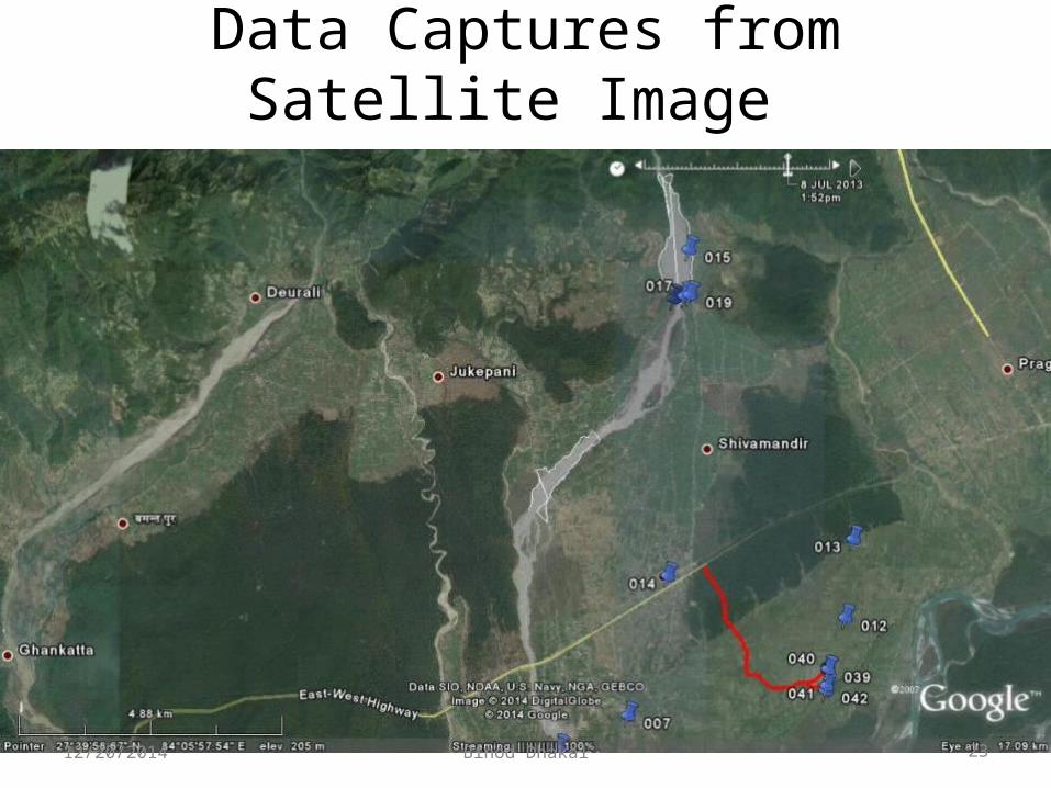
Data Captures from Satellite Image
12/20/2014 Binod Dhakal 23
12/20/2014 Binod Dhakal 24

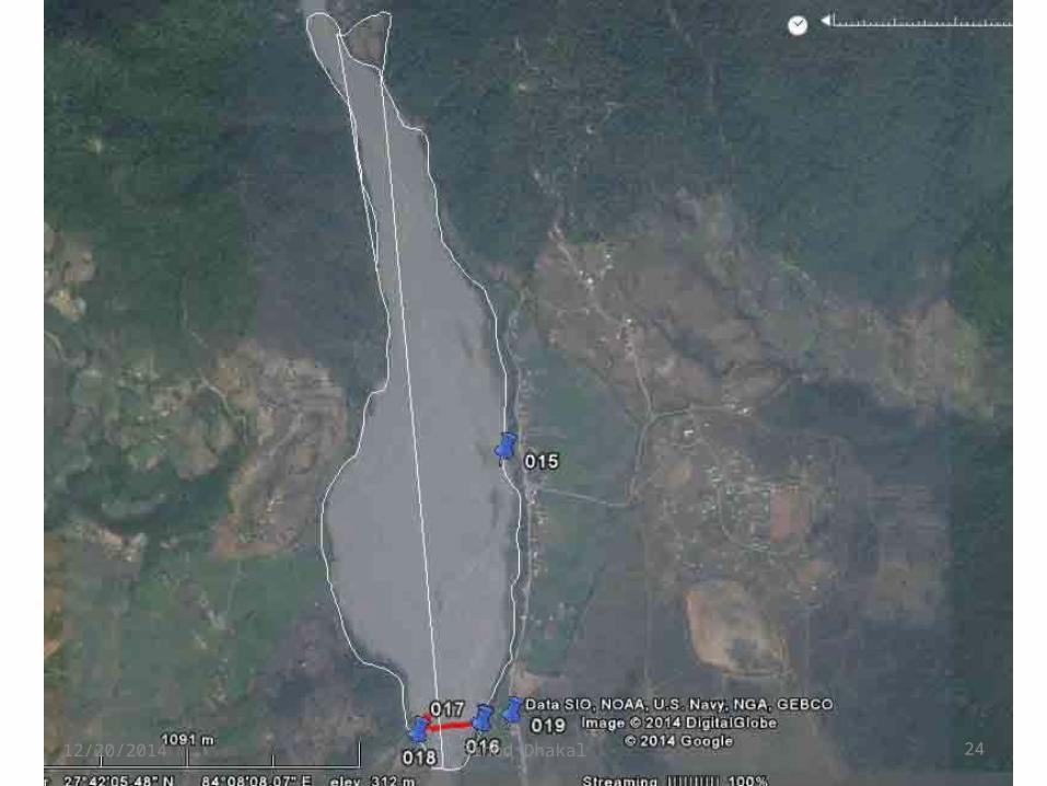
Survey
12/20/2014 Binod Dhakal 25

12/20/2014 Binod Dhakal 26

With an Example of District Transport Master Plan
(DTMP)
12/20/2014 Binod Dhakal 27
Objective
To Prepare the District Transport Master Plan (DTMP) based on the new guidelines 2012
12/20/2014 Binod Dhakal 28
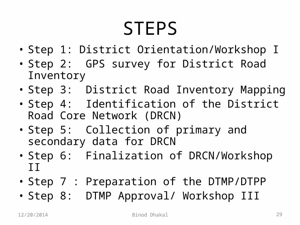
STEPS• Step 1: District Orientation/Workshop I• Step 2: GPS survey for District Road Inventory• Step 3: District Road Inventory Mapping• Step 4: Identification of the District Road Core
Network (DRCN) • Step 5: Collection of primary and secondary data
for DRCN • Step 6: Finalization of DRCN/Workshop II• Step 7 : Preparation of the DTMP/DTPP• Step 8: DTMP Approval/ Workshop III 12/20/2014 Binod Dhakal 29
GIS maps
(Chitwan District)
12/20/2014 Binod Dhakal 30
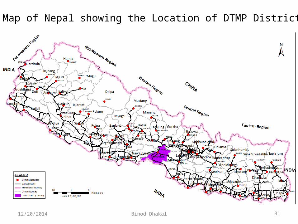
Map of Nepal showing the Location of DTMP District
12/20/2014 Binod Dhakal 31
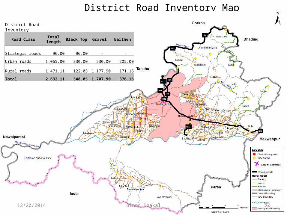
District Road Inventory Map
District Road Inventory
Road Class Total length Black Top Gravel Earthen
Strategic roads 96.00 96.00 - -
Urban roads 1,065.00 330.00 530.00 205.00
Rural roads 1,471.11 122.05 1,177.90 171.16
Total 2,632.11 548.05 1,707.90 376.16
12/20/2014 Binod Dhakal 32
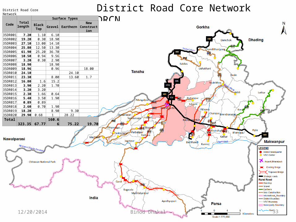
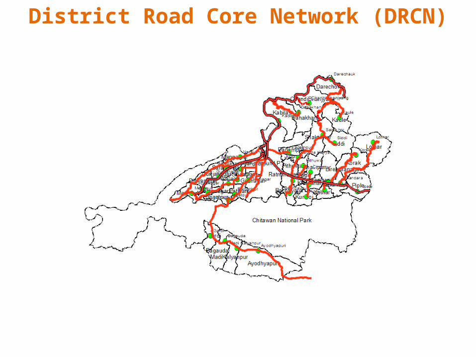
District Road Core Network DRCNDistrict Road Core Network
Code Total length
Surface Types
Black Top Gravel Earthern New Construction
35DR001 7.20 1.10 6.10 35DR002 19.20 0.30 18.90 35DR003 27.10 13.00 14.10 35DR004 25.80 12.50 13.30 35DR005 61.90 25.20 36.70 35DR006 10.50 0.94 9.56 35DR007 3.20 0.30 2.90 35DR008 18.90 18.90 35DR009 18.96 0.96 18.0035DR010 24.10 24.10 35DR011 23.30 8.00 13.60 1.735DR012 16.80 1.6 15.2 35DR013 3.90 2.20 1.70 35DR014 3.20 3.20 35DR015 2.30 1.66 0.64 35DR016 5.40 3.50 1.90 35DR017 0.89 0.89 35DR018 2.60 0.70 1.90 35DR019 18.20 8.90 9.30 35DR020 29.90 0.68 1 28.22
Total 323.35 67.77 160.66 75.22 19.70
12/20/2014 Binod Dhakal 33
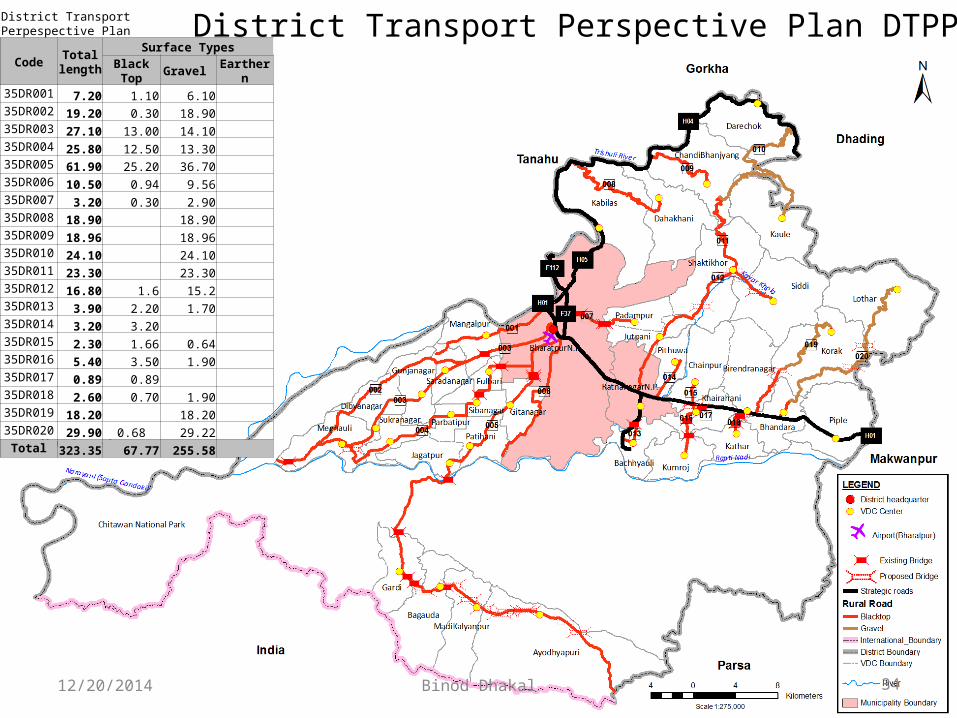
District Transport Perspective Plan DTPPDistrict Transport Perpespective Plan
Code Total length
Surface TypesBlack Top Gravel Earthern
35DR001 7.20 1.10 6.10 35DR002 19.20 0.30 18.90 35DR003 27.10 13.00 14.10 35DR004 25.80 12.50 13.30 35DR005 61.90 25.20 36.70 35DR006 10.50 0.94 9.56 35DR007 3.20 0.30 2.90 35DR008 18.90 18.90 35DR009 18.96 18.96 35DR010 24.10 24.10 35DR011 23.30 23.30 35DR012 16.80 1.6 15.2 35DR013 3.90 2.20 1.70 35DR014 3.20 3.20 35DR015 2.30 1.66 0.64 35DR016 5.40 3.50 1.90 35DR017 0.89 0.89 35DR018 2.60 0.70 1.90 35DR019 18.20 18.20 35DR020 29.90 0.68 29.22
Total 323.35 67.77 255.58
12/20/2014 Binod Dhakal 34

District Transport Master Plan (DTMP)Accessibility
Direct access to SRN No access to road Fair-weather core roads All-weather core roads
VDCs Population % VDCs Population % VDCs Population % VDCs Population %
Start of DTMP 23 260,094 69% 1 4,978 1% 4 26,818 7% 31 347,733 92%
End of DTMP 23 260,094 69% 0 - 0% 1 4,978 1% 35 374,551 99%
Difference - - 0% - 1 - 4,978 -1% - 3 - 21,840 -6% 4 26,818 7%
District Transport Master Plan
Code Total length
Surface TypesBlack Top Gravel Earthern
35DR001 7.20 7.20 35DR002 19.20 19.20 35DR003 27.10 27.10 35DR004 25.80 25.80 35DR005 61.90 61.90 35DR009 19.00 19.00 35DR010 24.10 24.10 35DR011 23.30 23.30 35DR013 3.90 3.90 35DR019 18.20 18.20 35DR020 29.90 0.68 29.22
Total 259.60 118.68 140.92 - Accessibility Coverage
Total length Fair-weatherAll-weather
gravelAll-weather
blacktop
km km % km % km %
Start of DTMP 303.65 83.22 27% 152.66 50% 67.77 22%
End of DTMP 303.65 10.06 3% 225.82 74% 67.77 22%
Difference - - 73.16 -24% 73.16 24% - 0%
12/20/2014 Binod Dhakal 35
District Road Core Network (DRCN)

Thank You
12/20/2014 Binod Dhakal 37