annexure i notification,...
TRANSCRIPT
1 | R e s o r t 0 3
Annexure I
Checklist for Submission of Application for prior CRZ Clearance under CRZ
Notification, 2011
General Instructions for Submission of Application for CRZ Clearance to MCZMA:
(1) Please do not write on the checklist.
(2) PART - A of the application form is applicable for all projects. Project
Proponent is required to fill submit the application to concerned planning
authorities such as Municipal Corporation, Municipal Councils, District
Collector through Town Planning for the rest of the rural area, MHADA / SRA/
MMRDA / CIDCO etc. as per the details indicated in the checklist.
(3) PART-B of the application covering all the detailed information, maps
indicated in the check-list should be completed/ developed by concerned
planning authority and send to MCZMA for prior CRZ recommendation/
clearance.
(4) Concerned planning authority should submit applications to MCZMA along with
PART-A & PART-B with detailed information on the points covered in it
along with its remarks on the proposed project/ activity.
PART-A
(To be submitted by Project proponent to Planning Authority)
Particulars Remarks
1 Executive Summary of the project The proposal is for development of resort on
plot bearing gut No.79/1A, 79/1B, 791C (3),
88/43, and 88/44 Mauje Karde, Tal: Dapoli,
Dist: Ratnagiri.
Proposed development is in accordance with
the guidelines stipulated in Annexure III of
the CRZ Notification, 2011. Accordingly,
the construction is proposed between 200 m
to 500 m from the HTL of the Arabian sea.
FSI for the proposed construction is well
within the permissible FSI i.e. 0.33 as per
the CRZ Notification, 2011. Height of the
resort will be within the permissible limit of
9 m. All the precautionary measures and
waste management practices will be taken
during construction and operation phase to
develop the resort in sustainable manner and
in sync with the surrounding environment.
Proposed environmental components will
include Organic waste convertor for
processing domestic solid waste, STP for
treating waste water, Solar lightening,
Rainwater harvesting, Green belt around
resort, and environment friendly material of
construction. The Maharashtra Coastal Zone
Management Authority is requested to grant
the CRZ clearance for the resort. The project
2 | R e s o r t 0 3
will be give boost to tourism activities in the
area and generate direct & indirect
employment for the local people. Please
refer to Annexure 1 & 3.
2 Duly filled Form I as per annexure
IV of CRZ Notification 201 1
(Compulsory for all Projects)
Yes.
Duly filled Form I of Annexure IV of the
CRZ Notification, 2011 is enclosed. Please
refer to Annexure 2.
3 Whether proposed project covered
under EIA Notification 2006
No.
Total Built up area of the project does not
exceed 20,000 Sqm. Hence, provisions of
EIA Notification, 2006 does not attract to
the project.
a If yes, duly filled Form I & IA (As
per provision 4(i)(d) and 4(ii)(a) of
CRZ Notification, 2011)
NA
B CRZ map indicating HTL & LTL
demarcated by one of the
authorized agency in 1:4000 scale
(as per Para (2) of CRZ
Notification, 2011 )/ on the
approved CZMP of the area
showing the site under
consideration
The approved Coastal land use in 1:25000
scale of the Space Application Centre
showing the project site is attached
herewith.
Detailed CRZ study done by IRS Chennai &
CRZ map indicating HTL & LTL
demarcated by one of the authorized agency
in 1:4000 scale (as per Para (2) of CRZ
Notification, 2011) is attached. Please refer
to Annexure 4.
4 Introduction of the Project/
Background
information indicating following:
i Identification of the project &
project proponent , landownership
indicating CIS No./ Survey Nos.-
etc.
The project site is situated in village Karde
in Dapoli tehsil in Ratnagiri District. The
village is situated 4 km away from Dapoli
and 155 km from Ratnagiri district. Karde
has village Grampanchayat. Proposed resort
is located on plot bearing Survey No.79/1A,
79/1B, 791C (3), 88/43, 88/44 Mauje Karde,
Tal Dapoli. Please refer to Annexure 5.
ii Brief description of nature of the
project with details including,
Layout Plan, Building Floor Plan
etc.
Details of construction is as follows:
Resort 3
Reception restaurant and kitchen
Spa Unit
Villa 01 09 nos
Villa 02 14 Nos

3 | R e s o r t 0 3
Layout plan for the proposed development is
attached herewith.
Please refer to Annexure 6.
Particulars
iii Need for the project & its
importance
Ratnagiri district has tourism potential.
Village Karde in Dapoli tehsil is coastal
village. Major tourist attractions nearby
Karde are:
Aare beach,
Aquarium
Bhatye beach,
rock cut caves Panhalekaji depicting
local culture
Unhavare, the natural hot spring
surrounded by green hills, deep
forest
Jaigad fort,
Jaigad lighthouse,
Ganapati pule temple,
Mandwai beach,
Mirkwada beach,
Velneshwar beach, various sacred
temples and
water sport at Ganapatipule
The project is envisaged considering tourism
potential of the area. It will attract tourists
and create employment opportunities for
local people.
iv Demand supply gap or information
on similar projects in the region.
In and around village Karde, there are resort
namely Fern samali resort, Blue ocean, Sea
point, Chaitanya Shrushti Agro health resort,
Exotic home stay and other bed & breakfast
schemes. However, considering the tourist
places around Karde, there is considerable
demand gap to cater to needs of tourists. The
proposed resort will create it’s own niche by
its unique design and facilities & food and
state of the art service.
5 i Location of the project showing
general location, specific location,
Project boundary, project site
The project is located in village Karde, Tal
Dapoli, Dist: Ratnagiri. Google image
showing the geo-coordinates of the site is

4 | R e s o r t 0 3
approved layout with coordinates
from competent Authority.
attached. Please refer to Annexure 7.
ii Details of the alternative sites
considered from environmental
point of view
The land is free hold land and has potential
for development of resort in environment
friendly manner.
6 Site Analysis
i Area of the project site (in sq. m.) Total plot area is 44440.00 Sqm.
ii Connectivity The project site situated in Karde village
which is 8 km from Dapoli, 99 km from
Ratnagiri and 169 km from State Capital
Mumbai.
Karde is accessible from the Murud
Landghar Major District Road 08. Khed
Railway station is at 50 km from Karde.
Please refer to Annexure 3.
iii Land form, land use, Land
ownership
The land is mix of flat and sloppy terrain. It
is free hold land. At present, the land is
vacant. Please refer to Annexure 5.
iv Topography (along with map) Google image showing the terrain is
attached. Please refer to Annexure 13.
V Existing land use pattern (
agriculture, non- agriculture, forest,
water bodies shortest distances
from the periphery of the project to
periphery of the forest, national
park, wild life sanctuary, eco-
sensitive area, water bodies (
distance from the HFL of the river).
In case of notified industrial area, a
copy of the Gazette notification
should be given
The land is open land. As per the approved
coastal land use plan of SAC, Ahemadabad,
the land is situated beyond 200 m from the
HTL of the Arabian Sea. The said map
shows that there is no ecologically sensitive
features such as mangroves, sand dunes,
coastal wetland on the site.
Detailed CRZ study & mapping done by
IRS Chennai. Report & CRZ map done by
IRS Chennai is attached with this proposal.
The site is developable as per the local
regional plan. Please refer to Annexure 3.
vi Social Infrastructure available Project site falls in village Karde, Tal:
Dapoli, Dist: Ratnagiri. The site is
accessible from Murud Ladghar (Major
District Road 08 ).
Khed Railway station are nearest railway
station. The village has school, College,
hospital, hotels and temples etc. Please
refer to Annexure 3.
7 Planning Brief
i Planning concept (type of
industries, facilities, transportation
etc) Town & Country
planning/ Development
Authority Classification.
The project site falls under the jurisdiction
of District Collector, Ratnagiri. The
proposed development is in consonance with
the Regional plan of the area and provisions
of the CR Notification, 2011.

5 | R e s o r t 0 3
ii Population projection Considering 3 persons /day / villa. Projected
population will reach around 200 persons
per day on average.
iii Land use planning ( breakup along
with green belt etc)
Lay out plan of the proposed resort showing
green belt is attached. Please refer to
Annexure 3.
iv Assessment of Infrastructure
Demand ( Physical & Social)
Ratnagiri district has tourism potential.
Village Karde in Dapoli tehsil is coastal
village with roads, school, college, hotels,
bus stops etc. Socially, village Karde is well
connected with surrounding villages such as
karde (3km), Dabhol ( 3km), Jalgoan(4km)
etc. Religious temples in chandranagar
reflects its cultural richness. It is the place
with necessary infra for tourists. Please
refer to Annexure 3.
V Amenities/ Facilities (existing &
proposed)
Resort has good internal roads, parking
requirements and green belt Please refer to
Annexure 3.
vi Proposed use Resort
vii FSI proposed to be consumed Total Plot Area: 44440.00 Sqm
Deduction: 2963.00 Sqm.
Plot area after deduction: 41477.00
Sqm
Net plot area (90)%- 37329.30 Sqm
Total built up area – 7750.48 Sqm
FSI consumed: 0.207
Paved area/ pathway: 3981.31 Sqm
Green Area: 4450 Sqm.
Proposed construction area well within the
permissible construction area as per the local
planning rules.
Further, the proposed FSI i.e. 0.207 is well
within the permissible FSI for the resort i.e.
0.33 in CRZ III area, as per the provisions of
the CRZ Notification,2011. Please refer to
Annexure 6.
viii Whether lift, lobby, staircase etc.
are claimed free of FSI & if so
whether they are permissible (if so
mention the provision of DCR)
NA
8 Proposed Infrastructure
i Industrial area ( Processing Area) NA
ii Residential Area (Non processing
Area)
Villas will accommodate tourists.
iii Green Belt/ A forestation details Green belt is proposed which is shown in
layout plan of the resort.

6 | R e s o r t 0 3
iv Social Infrastructure No.
V Connectivity (Traffic
&Transportation Road/ Rail/
Metro/Water ways etc)
Project site already has connectivity from
Murud Ladghar Mahor District Road 08.
Please refer to Annexure 3.
vi Drinking Water Management
(Source & supply of Water)
Drinking water supply requirement will be
met through boring and Rainwater
harvesting. Please refer to Annexure 3.
vii Sewerage System. Drainage line will be put up to handle the
sewage. Layout Plan of the drainage is
attached. Please refer to Annexure 3.
viii Industrial Waste Management NA
ix Solid Waste Management Organic waste convertor is proposed to
process the domestic solid waste. Manure
will be used for gardening. Recyclables will
be sold to local vendor. Please refer to
Annexure 3.
x Power requirement & Supply/
Source
Power requirement will be met through
electric supply source from MSEB.
Generator will also be put up to ensure the
steady power supply. Solar lightening is
proposed for illumination of the resort.
Please refer to Annexure 3.
9 Rehabilitation & Resettlement
(R& R) Plan
i Policy to be adopted (central/ state)
in respect of the project affected
persons including home ousters,
land ousters & landless laborers ( a
brief outline to be given)
No.
ii Proposed detailed action plan for
mangroves replantation (if any)
NA
10 Project Schedule & Cost
Estimates
i Likely date of start of construction
&likely date of completion (Time
schedule for the project to be given)
Development is proposed to be commenced
once all the approvals area in place.
ii Estimated project cost along with
analysis in terms of economic
viability of the project
Valuation report of the project is enclosed.
iii Shareholding of the developer The land is free hold private land.
iv Shareholding of the state
government
No
11 Analysis of proposal (Final
Recommendations)
i Environmental cost benefit analysis
including financial & social
benefits with special emphasis on
the benefit to the local people
including tribal population, if any,
-
7 | R e s o r t 0 3
in the area
12 i Rapid EIA report including marine
& terrestrial component except for
construction projects listed under 4
(c), 4(d) of CRZ Notification, 2011.
(Not applicable for building
proposal)
-
ii Comprehensive EIA with
cumulative studies for projects in
the stretches classified as low &
medium eroding by MoEF based on
scientific studies & in
consultation with the State
Governments and Union Territory
Administration (as per provision
of 4.2 (c) of CRZ Notification,
2011)
(Not applicable for building
proposal)
NA
iii Disaster Management Report , Risk
Assessment Report & Management
Plan (As per provision of 4.2 (d) of
CRZ Notification, 2011)
NA
iv Photographs & Google images of
the site indicating existing status &
location of the site
Google image and Site photographs area
attached herewith.
V CRZ map indicating HTL and LTL
and CRZ classification by one of
the authorized agencies by MoEF
in 1:4000 scales and project layout
superimposed on the above map of
CZMP ( As per provision 4.2 (e)
and (f) of CRZ Notification, 2011)
The approved Coastal land use in 1:25000
scale of the Space Application Centre
showing the project site is attached
herewith.
vi The CRZ map normally covering 7
km radius around the project (for
ports, harbours, jetties,
infrastructure projects) (as per
provision 4.2 (g) of CRZ
Notification, 2011)
The approved Coastal land use map of SAC
covers the 7 km surrounding coastal areas.
vii NOC from MPCB for projects
involving significant discharge of
effluents, solid wastes, sewage and
the like (As per provision 4.2 (i) of
CRZ Notification, 201 1 )
NA
13 Attached following No Objection
Certificates (if applicable)
i Heritage Conservation NA
ii State Ground Water Board NA
8 | R e s o r t 0 3
iii Maharashtra Pollution Control
Board
NA
iv High Court NA
V Maritime board NA
vi Port Trust NA
vii Civil Aviation NA
viii High Rise Committee NA
Applicable for SRA/ Cessed /
Dilapidated/ Unsafe Building
14 Undertaking of the Project
proponent for the development
through Slum Rehabilitation
Scheme along with the state
Government to ensure that all
legally regularized tenants are
provided houses in situ or as per
norms laid down by the State
Government in this regard (as per
the provision of 8 (V) (2) (iii) of
CRZ Notification, 2011)
NA
15 Undertaking of the Project
proponent to agree to be covered
under the Right to Information Act
2005 (as per the provision 8 (V) (c)
(d) (v) of CRZ Notification, 201 1 )
NA
16 Public consultation Report (As per
provision 8 (v) (4) of CRZ
Notification, 2011)
NA
17 Stake of the State Govt. or its
parastatal entities (which should not
be less that 51%) in the project (As
per provision 8(V)(1) (ii)(b)(2)(i) of
CRZ Notification, 2011)
NA
18 Any other information relevant
to the proposal
-

9 | R e s o r t 0 3

1
PART-B
(To be filled by Planning Authority for onward submission to MCZMA)
Note:
1) Proposals other than Koliwada, Cessed, SRA, Dilapidated & unsafe Building
in Mumbai area should be processed as per OCR 1967. For other areas
proposals should be processed as per OCR existing & in forced as on
19.2.1991.
2) CZMP of Maharashtra and Mumbai approved by Govt. of India (MoEF) will be
valid for two years till the new CZMP is prepared' and approved as per CRZ
Notification, 2011. The planning authorities should process application on the
basis of approved CZMP of the area. For rural areas CZMP prepared by
Space Application Centre (SAC), Ahmedabad (in the scale of 1:25000) and
approved by MoEF shall be used. Coastal land use maps prepared by
MRSAC, Nagpur, prepared on the basis of CZMP of SAC, Ahmedabad shall
be submitted with the application along with approved map for reference. This
procedure will be applicable till the time new CZMP as per CRZ Notification,
2011 is approved by MoEF.
Particulars Remarks Pg
no.
1 a Whether the project site falls
in CRZ-I, II, III & IV
As per the approved Coastal land use
of the Space Application Centre,
Ahmedabad the project site falls in
CRZ III area. The site is situated
between 200 m to 500 m from the High
Tide Line of the Arabian Sea. Please
refer to Annexure 4.
b CRZ map indicating HTL &
LTL demarcated -by one of
the authorized agency in
1:4000 scale (as per para (2)
of CRZ Notification, 201 1)/
on the approved CZMP of
the area showing the site
under consideration
The approved Coastal land use in
1:25000 scale of the Space Application
Centre, Ahmedabad showing the
project site is attached herewith.
Detailed CRZ study done by IRS
Chennai & CRZ map indicating HTL
& LTL demarcated by one of the
authorized agency in 1:4000 scale (as
per Para (2) of CRZ Notification,
2011) is attached. Please refer to Annexure 4.
c Project layout superimposed
on the above map indicated
at (b) above
Please refer to Annexure 4.
D CRZ map covering 7 km
radius around the project site
& indicating CRZ-I, II, III &
IV areas including other
notified ecologically
sensitive areas
Google image showing the 7 km
radius covering the surrounding
ecological features is attached. Please
refer to Annexure 7.
E If Project Site falls in CRZ-I
A/ CRZ-I B, then submit the
No

2
following
I Distance of the project site
from mangroves/ HTL
NA
Ii Density of mangroves &
extent of 50 meter buffer
zone form project site
No
F If Project Site falls in CRZ-II No
I Whether project site is on
seaward side of the existing
road as on 19.2.1991
NA
Ii Whether project site is on
landward side of the existing
road constructed prior to
19.2.1991
NA
A If yes, certificate from
Competent Authority
indicating approval of road
on development plan & date
of construction
The project site is situated on landward
side of existing road at 47m from
centre which is evident from Google
image & mojni maps. Further, the site
is accessible from the Murud Ladghar
Major District Road 08.
B width of road The width of the existing road is 16 m
& 25 m is proposed after widening.
Iii Whether project site is on
seaward/ landward side of
the Hazard line
No
G If Project Site falls in CRZ
III, distance of project site
from HTL & mangroves, if
any
The project site is situated between 200
m to 500 m from the HTL of the
Arabian Sea. As per approved CZMP
& mapping done by IRS Chennai no
mangroves are identified at site. Please
refer to Annexure 4.
2 Zoning, Land use &
Development Plan remarks
from the Competent
Authority indicating the
following details: (As per
the provision 8(i)(l), (II) &
(III) of CRZ Notification,
2011)
I Identification of the project
& project proponent,
landownership indicating
CIS No./ Survey Nos. etc.
The project is located in village Karde,
Tal Dapoli, Dist: Ratnagiri. Proposed
resort will be on Plot bearing S. No.
79/1A, 79/1B,79/2,79/3, 88/43, 88/44
Mauje Karde, Tal: Dapoli, Dist:
Ratnagiri.
Copy of 7/12 extract of the plot under
consideration is attached herewith.
Please refer to Annexure 5.
Ii Brief description of nature of Details of construction is as follows:
3
the project with details
including, Layout Plan,
Building Floor Plan etc.
Resort 3
Reception restaurant and
kitchen
Spa Unit
Villa 01 09 Nos
Villa 02 14 Nos
Layout plan for the proposed
development is attached herewith.
All the development is proposed
between 200 m to 500 m from the HTL
of the Arabian sea, as per the
guidelines stipulated in CRZ
Notification, 2011.
The FSI and Height of the resort is
well within the permissible limit i.e
0.33.and 9m respectively, as stipulated
in CRZ Notification, 2011. Please refer
to Annexure 6.
Iii Information of the project
site with respect to the CIS
No., Survey No. total area
etc.
Plot bearing gut
No.79/1A,79/1B,79/2,79/3,88/43,
88/44 Mauje Karde , Tal: Dapoli, Dist:
Ratnagiri. Please refer to Annexure 5.
Iv Copy of approved CS plan
from Land Records
Department/City Survey
Office
Please refer to Annexure 5.
V Status of land Freehold/
Leasehold
The plot is free hold.
Vi Copy of Property Card/ 7/12
Extract
Yes.
Copy of the 7/12 extract is enclosed.
Please refer to Annexure 4.
Vii Zoning remarks for the
project site as per
development plan existing &
enforce as on 19.2.1991
Regional Plan for Ratnagiri –
Sindhudurga is enforced from
15/2/1988 ,its Notification no
TPS1585/2305/CR226/87/NAVI-1 Dt
23/12/87 No specific land use was
mentioned , so as per B & C municipal
council remarks were given. Proposed
use is permissible as per Regional
Plan.
Viii Zoning remarks for the
project site as per current/
prevailing development plan
as on today
Proposed activity is permitted as per
Local Town & Country planning
Regional Plan D.C. rules.
Ix Permissible height as per D
enforce as on 19.2.1991
As per B & C municipal council
regulation road width plus front

4
marginal distance decides height of
building.
X Permissible height as per
current prevailing DCR
15 m.
xi FSI calculations as
permissible in DCR existing
on 19.2.1991 indicating
eligible FSI in the proposed
project
1.0 FSI was permissible in DCR
existing on 19-2-1991.
FSI in Proposed project is 0.207 .
A Proposed use Resort
B FSI proposed to be consumed Total Plot Area: 44440.00 Sqm
Deduction: 2963.00 Sqm.
Plot area after deduction: 41477
Sqm
Net plot area (90)%- 37329.30 Sqm
Total built up area – 7750.48 Sqm
FSI consumed: 0.207
Paved area/ pathway: 3981.31Sqm
Green Area: 4450 Sqm
Proposed construction area well within
the permissible construction area as per
the local planning rules.
Further, the proposed FSI i.e. 0.207 is
well within the permissible FSI for the
resort i.e. 0.33 in CRZ III area, as per
the provisions of the CRZ
Notification,2011. Please refer to
Annexure 6.
C Whether lift, lobby, staircase
etc. are claimed free of FSI
& if so whether they are
permissible (if so mention
the provision
of DCR)
NA
Xii Permissibility of proposed
use as per development plan
& DCR as on 19.2.1991
Yes.
Xiii Development plan of the area
indicating site under
reference, zoning, reservation
etc.
No Zoning
Xiv Land use change, if any, in
the project
At present, the plot under reference is
vacant, wherein the development is
proposed. Development of the resort
confirm to the development for that
area. Development will be in
accordance with the local planning
Authority and within the framework of
approved coastal land use map by
Space Application Centre,
5
Ahmedabad.
The Coastal land use map shows no
ecologically sensitive features such as
mangroves, sand dunes, intertidal areas
etc.
Xv Designated reservations, if
any, as per development
plan/ Regional plan as on
19.2.1991 and as per current
prevailing development plan
of the area
-
Xvi Specific powers of Authority
enabling relaxation in height,
use & another provisions of
DC Regulations
-
3 Proposed project Detail
including Layout Plan,
Building Floor Plan etc.
(As per provision 8 (ll) &
(III) of CRZ Notification,
2011)
Please refer to Annexure 6.
4 Details of Existing
structure / Infrastructure
on site from Competent
Authority indicating
following details
(As per provision 8 (ll) &
(III) of CRZ Notification,
2011)
I Occupation certificate NA
Ii Commencement certificate NA
Iii Authorized plinth map from
land records/ city survey
office
NA
Iv FSI consumed & approved
building plan of the existing
structure from Planning
Authority
NA
V Remarks indicating existing
use of the structure
NA
Vi Details of court cases/legal
matters if any with respect to
proposed matter
No
Vii Details of complaints, if any No
5 Additional information for
reconstruction of Houses in
Koliwada
(As per provision 8(V)(4)(g)
6
of CRZ Notification, 2011)
A Details of notified fishing
settlement areas / Koliwadas
as per development plan
existing as on 19.2.1991
from competent Authority
NA
b Certificate from competent
Authority indicating,
traditional Fishermen
communities/ other local
coastal communities as per
the Govt. records if proposal
belongs to Koliwada
NA
6 SRA/ CESS/ Dilapidated/
Unsafe Building. (As per
provision 8(V) of CRZ
Notification, 2011)
No
a Slum area declaration
Notification along with list of
eligible tenants
NA
b Public consultation Report NA
c CESS/Dilapidated/dangerous
/Unsafe building certificate
from
Competent Authority.
NA
d Stake of the State Govt. or its
parastatal entities (which
should not be less that 51%)
in the SRA scheme projects
(As per provision 8(V)(1
)(ii)(b)(2)(i) of CRZ
Notification, 2011)
NA

7

1 | R e s o r t 0 3
Form-I for seeking clearance for project attracting CRZ notification
Basic information:
Name of the Project Proposed construction of Resort on plot
bearing gut No.79/1A,79/1B,791C(3), 79/ 2,
88/43, 88/44 Mauje Karde, Tal: Dapoli, Dist:
Ratnagiri.
Location or site alternatives under
consideration
The site is ideal for development of resort by
integration of architecturally sustainable
design with natural environment with least
damage to nature. The land is ownership land
and development on site in line with local
regional planning rules and also confirms
with the CRZ norms. Further, the site has no
ecologically sensitive particularities.
Size of the project (in terms of total area) Total plot area is 44440.00 Sqm
CRZ classification of the area CRZ III area ( between 200 m to 500 m from
the HTL of the Arabian Sea)
Expected cost of the project Rs.10,96,80,000/-
(Ten Crore Ninety Six Lac Eighty
Thousand only )
Contact Information 1) Mr. Amit Kamat,
110/1 R K Nagar , Kolhapur
Mob. 09422096563
2) Mr. Sunil Jain
101, Amelia , Model Colony ,Pune.
(II) Activity
1. Construction, operation or decommissioning of the Project involving actions, which will
cause physical changes in the locality (topography, land use, changes in water bodies, and
the like)
Sr.
No.
Information/Checklist confirmation Yes/No Details
1.1 Permanent or temporary change in land
use, land cover or topography
including increase in intensity of land
use (with respect to local land use plan)
Yes The site is mix of flat & sloppy
terrain. At present, the plot under
reference is vacant, wherein the
development is proposed.
Development of the resort
confirm to the development for
that area. Development will be in
accordance with the local
planning Authority and within
the framework of approved
coastal land use map by Space
Application Centre.
The Coastal land use map shows
no ecologically sensitive features
2 | R e s o r t 0 3
such as mangroves, sand dunes,
intertidal areas etc.
Google image of the site
showing the land use pattern is
attached herewith as Annexure 7
1.2 Details of CRZ classification as per the
approved Coastal Zone Management
Plan?
Yes Approved Coastal land use map
prepared by the Space
Application Centre shows that
the site is situated between 200
m to 500 m from the HTL of the
Arabian Sea.
Approved Coastal land use map
of SAC showing site is attached
herewith as Annexure 4
Detailed CRZ study done by IRS
Chennai. CRZ map prepared by
IRS Chennai is attached with
proposal.
1.3 Whether located in CRZ-I area? No The site is beyond 200 m from
the HTL of Arabian Sea.
1.4 The distance from the CRZ-I areas. - More than 200 m.
1.5 Whether located within the hazard
zone as mapped by Ministry of
Environment and Forests/National
Disaster Management Authority?
- Hazard line demarcation map of
the MoEF, New Delhi is not
available in public domain.
1.6 Whether the area is prone to cyclone,
tsunami, tidal surge, sub duction,
earthquake etc.?
- The site is mix of hilly and plain
& sloppy platue. It is situated
beyond 200 m from the High
Tide Line towards land ward
side. The site is not prone to tidal
surge, tsunami etc.
1.7 Whether the area is prone for saltwater
ingress?
No The site is beyond 200 m from
the High Tide Line towards land
ward side. Hence, possibility of
saline ingression to the site is not
the case.
1.8 Clearance of existing land, vegetation
and buildings?
Yes The site has trees and shrubs.
considering the design layout of
the proposed resort, selective
trees and shrubs will be cleared
to make room for the resort.
1.9 Creation of new land uses? No Development of resort confirms
to local planning rules with
respect to land development.
1.10 Pre-construction investigations e.g.
bore hole, soil testing?
No It will be undertaken before the
construction activities.
3 | R e s o r t 0 3
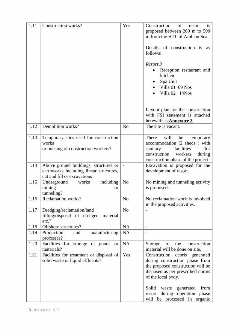
1.11 Construction works? Yes Construction of resort is
proposed between 200 m to 500
m from the HTL of Arabian Sea.
Details of construction is as
follows:
Resort 3
Reception restaurant and
kitchen
Spa Unit
Villa 01 09 Nos
Villa 02 14Nos
Layout plan for the construction
with FSI statement is attached
herewith as Annexure 3
1.12 Demolition works?
No The site is vacant.
1.13 Temporary sites used for construction
works
or housing of construction workers?
- There will be temporary
accommodation (2 sheds ) with
sanitary facilities for
construction workers during
construction phase of the project.
1.14 Above ground buildings, structures or
earthworks including linear structures,
cut and fill or excavations
- Excavation is proposed for the
development of resort.
1.15 Underground works including
mining or
tunneling?
No No mining and tunneling activity
is proposed.
1.16 Reclamation works? No No reclamation work is involved
in the proposed activities.
1.17 Dredging/reclamation/land
filling/disposal of dredged material
etc.?
No -
1.18 Offshore structures? NA -
1.19 Production and manufacturing
processes?
NA -
1.20 Facilities for storage of goods or
materials?
NA Storage of the construction
material will be done on site.
1.21 Facilities for treatment or disposal of
solid waste or liquid effluents?
Yes Construction debris generated
during construction phase from
the proposed construction will be
disposed as per prescribed norms
of the local body.
Solid waste generated from
resort during operation phase
will be processed in organic
4 | R e s o r t 0 3
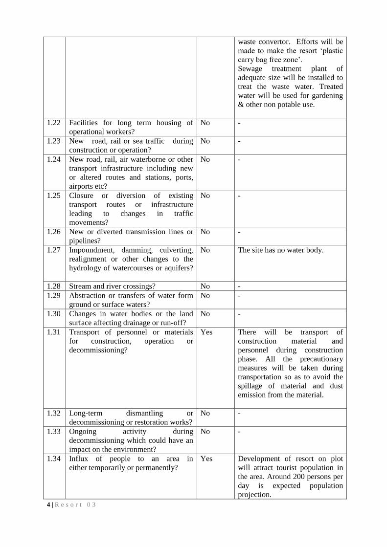
waste convertor. Efforts will be
made to make the resort ‘plastic
carry bag free zone’.
Sewage treatment plant of
adequate size will be installed to
treat the waste water. Treated
water will be used for gardening
& other non potable use.
1.22 Facilities for long term housing of
operational workers?
No -
1.23 New road, rail or sea traffic during
construction or operation?
No -
1.24 New road, rail, air waterborne or other
transport infrastructure including new
or altered routes and stations, ports,
airports etc?
No -
1.25 Closure or diversion of existing
transport routes or infrastructure
leading to changes in traffic
movements?
No -
1.26 New or diverted transmission lines or
pipelines?
No -
1.27 Impoundment, damming, culverting,
realignment or other changes to the
hydrology of watercourses or aquifers?
No The site has no water body.
1.28 Stream and river crossings? No -
1.29 Abstraction or transfers of water form
ground or surface waters?
No -
1.30 Changes in water bodies or the land
surface affecting drainage or run-off?
No -
1.31 Transport of personnel or materials
for construction, operation or
decommissioning?
Yes There will be transport of
construction material and
personnel during construction
phase. All the precautionary
measures will be taken during
transportation so as to avoid the
spillage of material and dust
emission from the material.
1.32 Long-term dismantling or
decommissioning or restoration works?
No -
1.33 Ongoing activity during
decommissioning which could have an
impact on the environment?
No -
1.34 Influx of people to an area in
either temporarily or permanently?
Yes Development of resort on plot
will attract tourist population in
the area. Around 200 persons per
day is expected population
projection.

5 | R e s o r t 0 3
1.35 Introduction of alien species? No -
1.36 Loss of native species or genetic
diversity?
No -
1.37 Any other actions? No -
2. Use of Natural resources for construction or operation of the Project (such as land, water,
materials or energy, especially any resources which are non-renewable or in short
supply):
Sr.
No.
Information/checklist confirmation
2.1 Land especially undeveloped or
agricultural land (ha)
Yes Land is open land.
2.2 Water (expected source &
competing users) unit: KLD
- During construction
phase, water
requirement will be
around 8 KLD.
During operation
phase- water
requirement will be
around 20 KLD
Water requirement
will be met through
boring and Rainwater
harvesting.
2.3 Minerals (MT) - -
2.4 Construction material - stone,
aggregates, sand/soil (expected source
— MT)
- List of construction
material for
development of resort
is attached herewith
as Annexure 3
2.5 Forests and timber (source - MT) - Annexure 3
2.6 Energy including electricity and
fuels (source, competing users) Unit:
fuel (MT), energy (MW)
- Power supply
requirement will be
met through
Maharashtra State
Electricity Board +
Generator.
Solar lightning will
be provided for
illumination of the
resort.
2.7 Any other natural resources (use
appropriate standard units)
No -
6 | R e s o r t 0 3
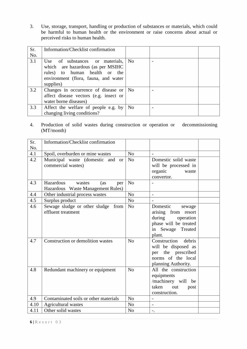
3. Use, storage, transport, handling or production of substances or materials, which could
be harmful to human health or the environment or raise concerns about actual or
perceived risks to human health.
Sr.
No.
Information/Checklist confirmation
3.1 Use of substances or materials,
which are hazardous (as per MSIHC
rules) to human health or the
environment (flora, fauna, and water
supplies)
No -
3.2 Changes in occurrence of disease or
affect disease vectors (e.g. insect or
water borne diseases)
No -
3.3 Affect the welfare of people e.g. by
changing living conditions?
No -
4. Production of solid wastes during construction or operation or decommissioning
(MT/month)
Sr.
No.
Information/Checklist confirmation
4.1 Spoil, overburden or mine wastes No -
4.2 Municipal waste (domestic and or
commercial wastes)
No Domestic solid waste
will be processed in
organic waste
convertor.
4.3 Hazardous wastes (as per
Hazardous Waste Management Rules)
No -
4.4 Other industrial process wastes No -
4.5 Surplus product No -
4.6 Sewage sludge or other sludge from
effluent treatment
No Domestic sewage
arising from resort
during operation
phase will be treated
in Sewage Treated
plant.
4.7 Construction or demolition wastes No Construction debris
will be disposed as
per the prescribed
norms of the local
planning Authority.
4.8 Redundant machinery or equipment No All the construction
equipments
/machinery will be
taken out post
construction.
4.9 Contaminated soils or other materials No -
4.10 Agricultural wastes No -
4.11 Other solid wastes No -.

7 | R e s o r t 0 3
5. Release of pollutants or any hazardous, toxic or noxious substances to air (Kg/hr)
Sr.
No.
Information/Checklist confirmation Details thereof
(with approximate
quantities/rates,
wherever possible)
with source of
information data
5.1 Emissions from combustion of fossil
fuels' from stationary or mobile sources
No -
5.2 Emissions from production processes No -
5.3 Emissions from materials handling
including storage or transport
No -
5.4 Emissions from construction activities
including plant and equipment
- -
5.5 Dust or odours from handling of
materials including construction
materials, sewage and waste
- Adequate Dust
suppression measures
will be implemented
to mitigate the dust
nuisance during
construction phase of
the project.
5.6 Emissions from incineration of waste No Waste will not be
incinerated.
5.7 Emissions from burning of waste in
open air (e.g. slash materials,
construction debris)
No -
5.8 Emissions from any other sources No -
6. Generation of Noise and Vibration, and Emissions of Light and Heat:
Sr.
No.
Information/Checklist confirmation
6.1 From operation of equipment e.g.
engines, ventilation plant, crushers
No Noise silencers will
be installed in
equipments /
machinery during
construction phase of
the project.
6.2 From industrial or similar processes -
6.3 From construction or demolition - Noise barriers will be
put up to mitigate the
noise levels. Noise
level will be within
prescribed limit.
6.4 From blasting or piling No -
6.5 From construction or operational traffic - -
6.6 From lighting or cooling systems - -
8 | R e s o r t 0 3
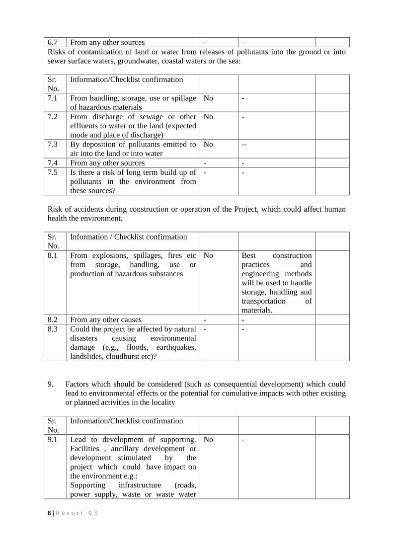
6.7 From any other sources - -
Risks of contamination of land or water from releases of pollutants into the ground or into
sewer surface waters, groundwater, coastal waters or the sea:
Sr.
No.
Information/Checklist confirmation
7.1 From handling, storage, use or spillage
of hazardous materials
No -
7.2 From discharge of sewage or other
effluents to water or the land (expected
mode and place of discharge)
No -
7.3 By deposition of pollutants emitted to
air into the land or into water
No --
7.4 From any other sources - -
7.5 Is there a risk of long term build up of
pollutants in the environment from
these sources?
- -
Risk of accidents during construction or operation of the Project, which could affect human
health the environment.
Sr.
No.
Information / Checklist confirmation
8.1 From explosions, spillages, fires etc
from storage, handling, use or
production of hazardous substances
No Best construction
practices and
engineering methods
will be used to handle
storage, handling and
transportation of
materials.
8.2 From any other causes - -
8.3 Could the project be affected by natural
disasters causing environmental
damage (e.g., floods, earthquakes,
landslides, cloudburst etc)?
- -
9. Factors which should be considered (such as consequential development) which could
lead to environmental effects or the potential for cumulative impacts with other existing
or planned activities in the locality
Sr.
No.
Information/Checklist confirmation
9.1 Lead to development of supporting.
Facilities , ancillary development or
development stimulated by the
project which could have impact on
the environment e.g.:
Supporting infrastructure (roads,
power supply, waste or waste water
No -
9 | R e s o r t 0 3
treatment, etc.) housing development
extractive industries supply industries
other
9.2 Lead to after-use of the site, which
could have an impact on the
environment
No -
9.3 Set a precedent for later developments Yes Development of
resort will attract
tourist population in
the area, which may
set precedent for
development of
surrounding area.
9.4 Have cumulative effects due to
proximity to other existing or planned
projects with similar effects
- -
III. Environmental Sensitivity.
Sr.
No.
Information/Checklist confirmation
1 Areas protected under international
conventions, national or local
legislation for their ecological,
landscape, cultural or other related
value
No -
2 Areas which are important or sensitive
for ecological reasons - Wetlands,
watercourses or other water bodies,
coastal zone, biospheres, mountains,
forests
Yes Project site falls
within the 200 m to
500 m distance from
the High Tide Line
from the Arabia Sea.
The site has no
ecologically sensitive
areas.
3 Areas used by protected, important or
sensitive species of flora or fauna for
breeding, nesting, foraging, resting,
over wintering, migration
No. The site has no
ecologically sensitive
area.
4 Inland, coastal, marine or underground
waters
Yes Project site falls in
CRZ.
5 State, National boundaries No -
6 Routes or facilities used by the public
for access to recreation or other tourist,
pilgrim areas
- Development of
resort will not hamper
the public access to
10 | R e s o r t 0 3
the seafront.
7 Defense installations No -
8 Densely populated or built-up area No Karde village
settlement is around 2
km from the project
site.
9 Areas occupied by sensitive man-made
land uses (hospitals, schools, places of
worship, community facilities)
No -
11 | R e s o r t 0 3