arcgis for the military—land operations
DESCRIPTION
ArcGIS for the Military—Land Operations. Scott Cecilio Gary Sheppard. Area of Interest: Jalalabad, Afghanistan. Battle of Jellalabad, 1842. Source: BritishBattles.com. Scenario for this workshop. Jalalabad Today, 2014. ArcGIS for the Military—Land Operations. - PowerPoint PPT PresentationTRANSCRIPT
Esri UC 2014 | Technical Workshop |
ArcGIS for the Military—Land OperationsScott Cecilio
Gary Sheppard

Esri UC 2014 | Technical Workshop |
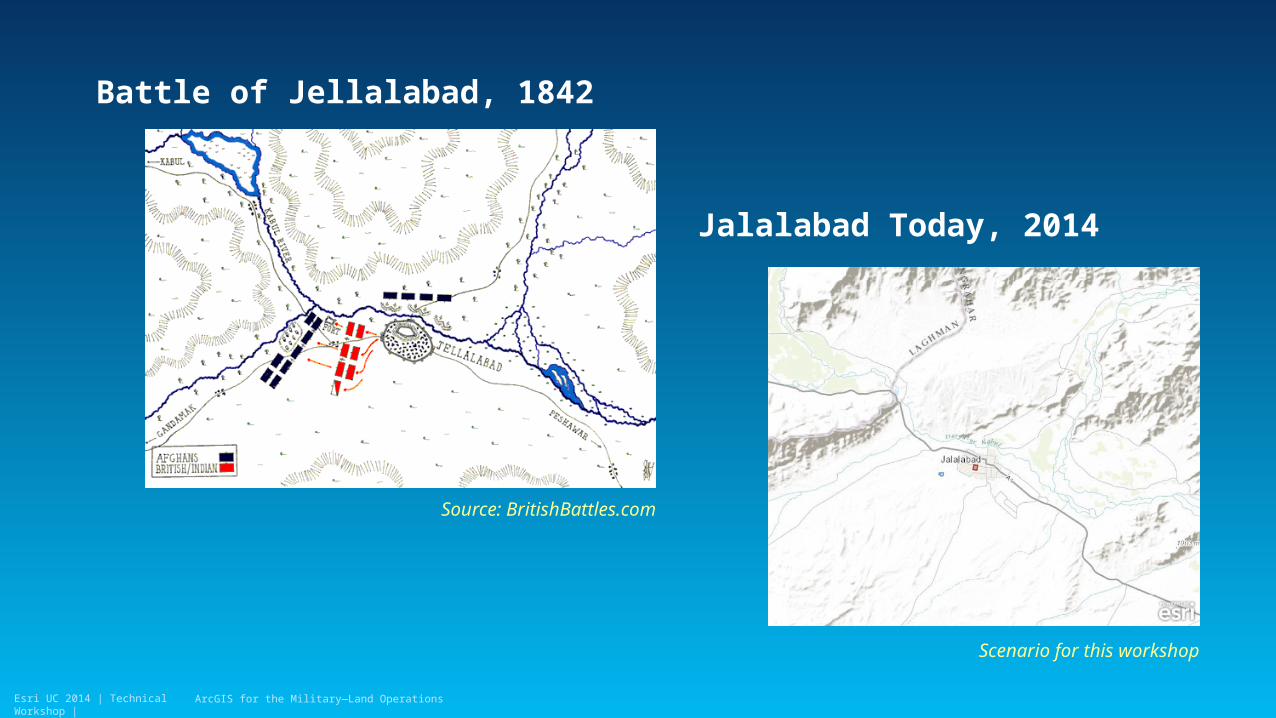
Area of Interest: Jalalabad, Afghanistan
ArcGIS for the Military—Land Operations
Esri UC 2014 | Technical Workshop |
Battle of Jellalabad, 1842
Source: BritishBattles.com
ArcGIS for the Military—Land Operations
Jalalabad Today, 2014
Scenario for this workshop
Esri UC 2014 | Technical Workshop |
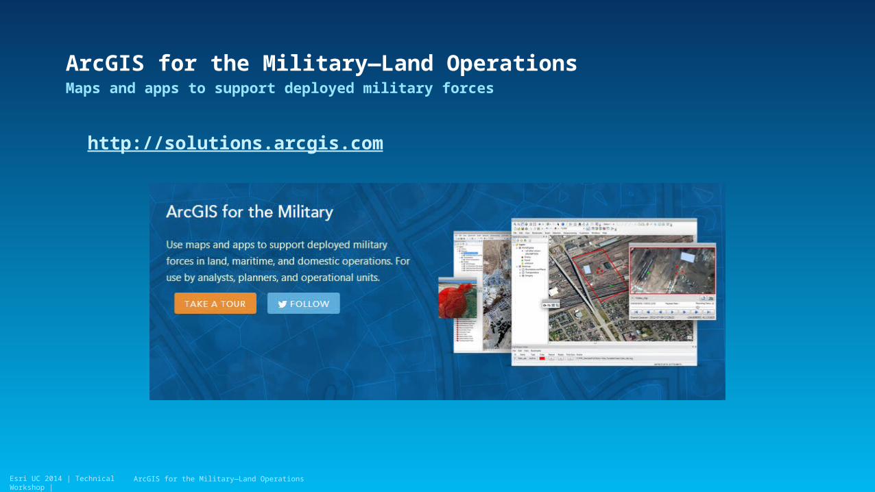
ArcGIS for the Military—Land OperationsMaps and apps to support deployed military forces
http://solutions.arcgis.com
ArcGIS for the Military—Land Operations

Esri UC 2014 | Technical Workshop |
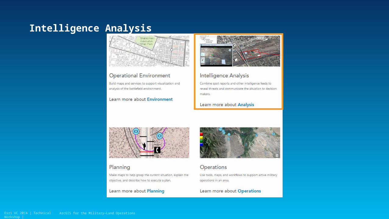
Operational Environment
ArcGIS for the Military—Land Operations
Esri UC 2014 | Technical Workshop |
Intelligence Analysis
ArcGIS for the Military—Land Operations
Esri UC 2014 | Technical Workshop |
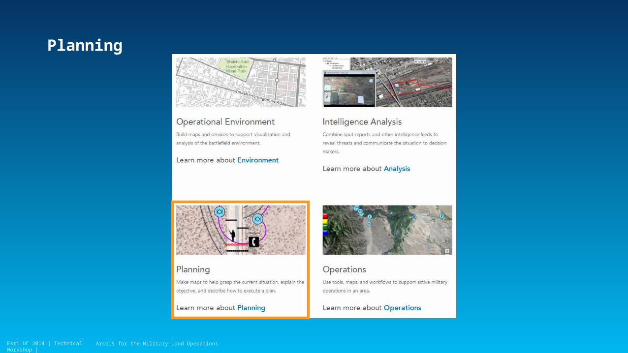
Planning
ArcGIS for the Military—Land Operations
Esri UC 2014 | Technical Workshop |
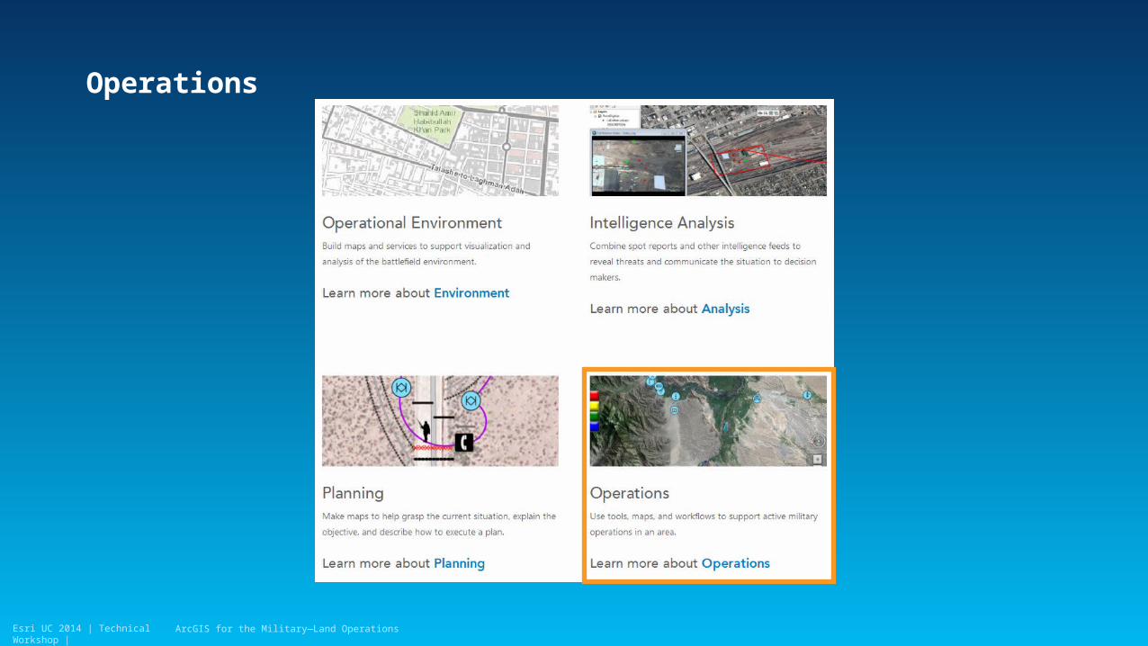
Operations
ArcGIS for the Military—Land Operations

Esri UC 2014 | Technical Workshop |
ArcGIS for the Military—Land OperationsMaps and apps to support deployed military forces
http://solutions.arcgis.com
ArcGIS for the Military—Land Operations
Esri UC 2014 | Technical Workshop |
Thank you…
• Please fill out the session survey:
Offering ID: 1497
Online – www.esri.com/ucsessionsurveys
Paper – pick up and put in drop box
ArcGIS for the Military—Land Operations

Esri UC 2014 | Technical Workshop | ArcGIS for the Military—Land Operations