arcgis for the recreational user by laura gundlach
DESCRIPTION
ArcGIS for the Recreational User By Laura Gundlach. A Technologically Enhanced Trip into the Yellowstone Backcountry. Motivations. Discover ways in which ArcGIS can be used to enhance “normal” life Develop a Non-Scientific/Non-Engineering inquiry that is self-interested. Yellowstone. - PowerPoint PPT PresentationTRANSCRIPT
ArcGIS for the Recreational UserBy Laura Gundlach
A Technologically Enhanced Trip into the Yellowstone Backcountry
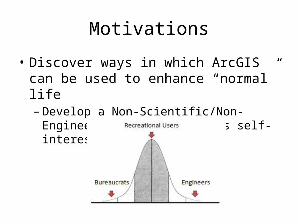
Motivations
• Discover ways in which ArcGIS can be used to enhance “normal” life– Develop a Non-Scientific/Non-Engineering inquiry
that is self-interested
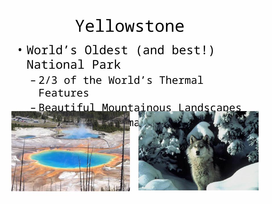
Yellowstone• World’s Oldest (and best!) National Park– 2/3 of the World’s Thermal Features– Beautiful Mountainous Landscapes– Several Charismatic Megafauna
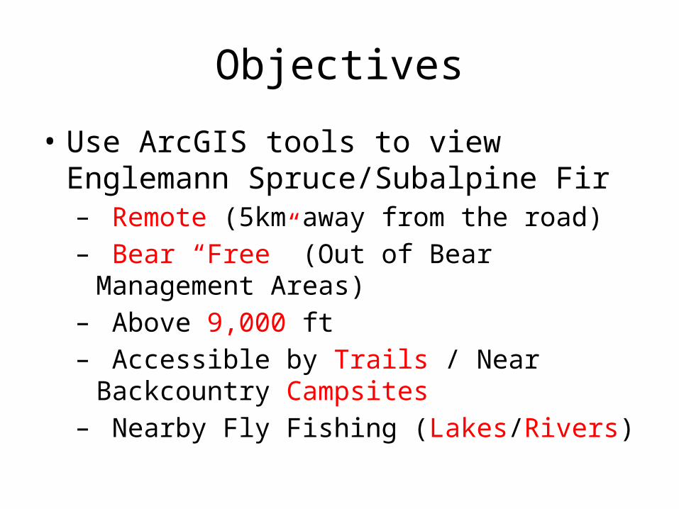
Objectives
• Use ArcGIS tools to view Englemann Spruce/Subalpine Fir– Remote (5km away from the road)– Bear “Free” (Out of Bear Management Areas)– Above 9,000 ft– Accessible by Trails / Near Backcountry Campsites– Nearby Fly Fishing (Lakes/Rivers)
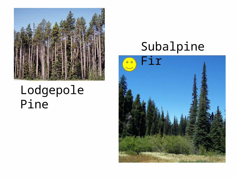
Lodgepole Pine
Subalpine Fir
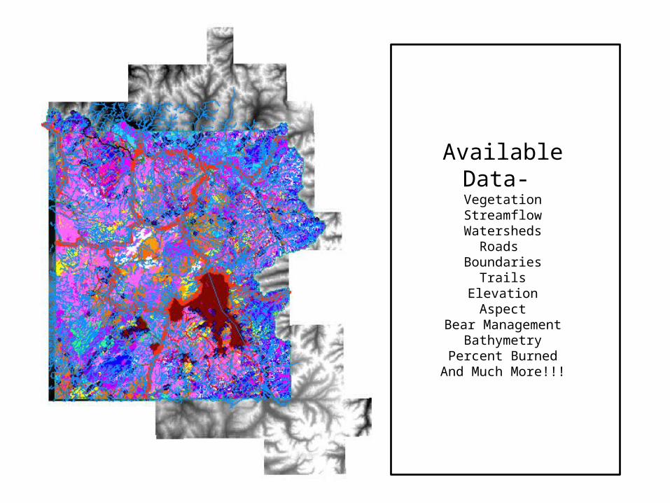
Data
• Natural Resource Information Panel– LOTS of Data from National Parks– Search Geographically or by Keyword
Available Data- VegetationStreamflowWatersheds
Roads Boundaries
TrailsElevation
AspectBear Management
BathymetryPercent Burned
And Much More!!!
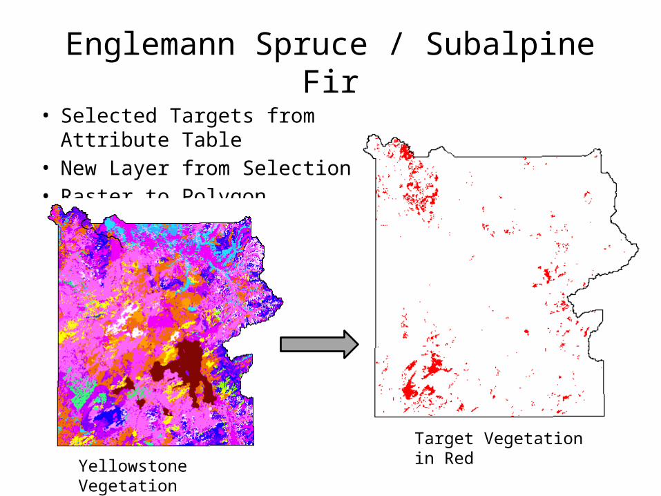
Englemann Spruce / Subalpine Fir• Selected Targets from Attribute Table• New Layer from Selection• Raster to Polygon
Target Vegetation in Red
Yellowstone Vegetation
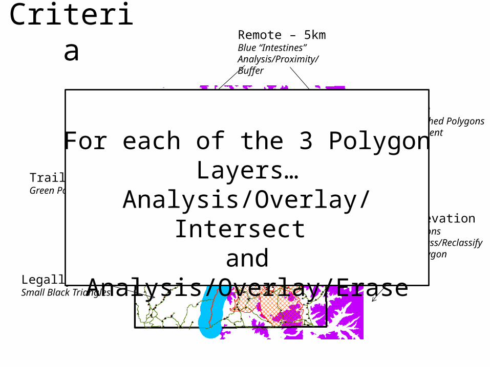
Criteria Remote – 5kmBlue “Intestines”Analysis/Proximity/Buffer
Bear FreeRed Cross-Hatched PolygonsBear Management
TrailsGreen PolyLines
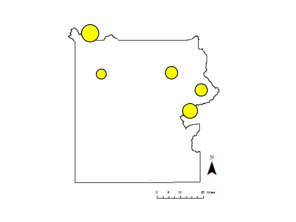
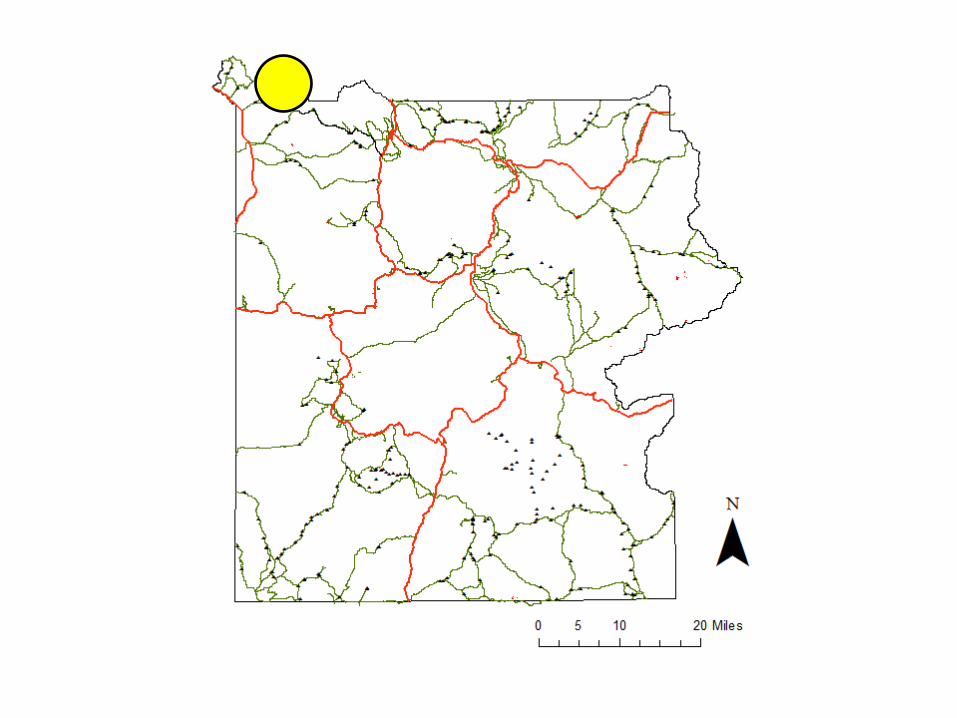
Legally CampableSmall Black Triangles
High ElevationPurple PolygonsSpatial /Reclass/ReclassifyRaster to Polygon
For each of the 3 Polygon Layers…Analysis/Overlay/Intersect
andAnalysis/Overlay/Erase
Only 1.62 mi2!
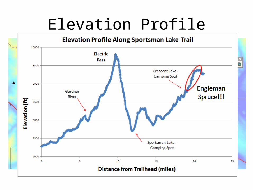
Elevation Profile
Electric Pass
Englemann Spruce!!!
Camping Spots
Sportsman Lake
Crescent Lake
Electric Peak
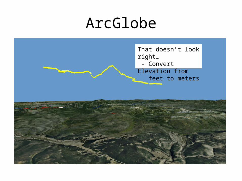
ArcGlobe
• Using 3D Analyst/Functional Surface/Add Surface Information, I added z-values to the selected trail
• Added the trail into ArcGlobe to view the Elevation Profile in 3D
That doesn’t look right… - Convert Elevation from feet to meters
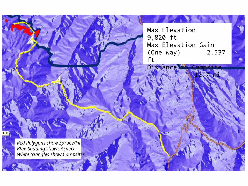
Max Elevation 9,820 ftMax Elevation Gain (One way) 2,537 ftDistance to Campsite
12.7 mi
Red Polygons show Spruce/FirBlue Shading shows AspectWhite triangles show Campsites
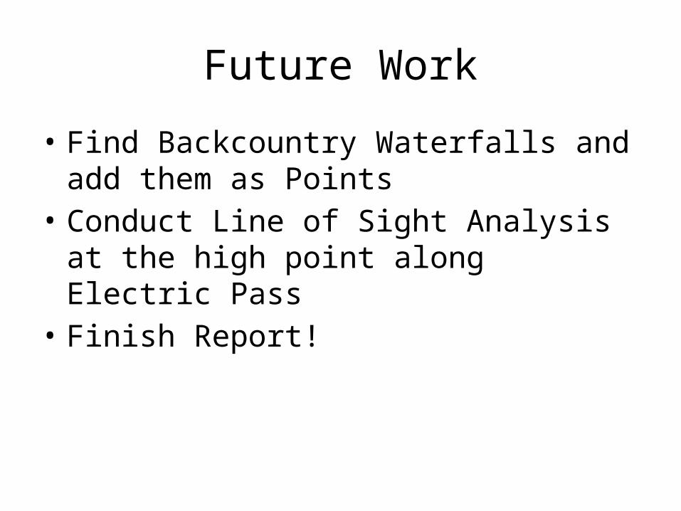
Future Work
• Find Backcountry Waterfalls and add them as Points
• Conduct Line of Sight Analysis at the high point along Electric Pass
• Finish Report!
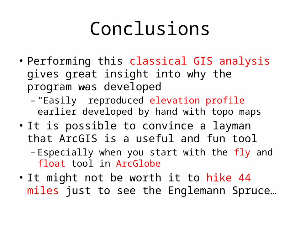
Conclusions
• Performing this classical GIS analysis gives great insight into why the program was developed– “Easily” reproduced elevation profile earlier developed
by hand with topo maps• It is possible to convince a layman that ArcGIS is a
useful and fun tool– Especially when you start with the fly and float tool in
ArcGlobe• It might not be worth it to hike 44 miles just to see
the Englemann Spruce…
References
• National Resource Information Portal - http://nrinfo.nps.gov
• The Yellowstone Backcountry Page - http://www.yellowstonestereoviews.com/backcountry/home.html
• Hiking Yellowstone National Park – Bill Schneider
• Mapping the Distribution of Yellowstone Water Resources - http://www.topoimagery.com/making/yswater/index.html
• Planning a Trip to Yellowstone Park - http://www.geology.und.edu/gerla/gge220/yellowstone/yellowstone.html