arcgis runtime sdk for wpf - esri
TRANSCRIPT

Mike Branscomb Mark Baird
ArcGIS Runtime SDK for WPF
Esri Developer Summit in EuropeNovember 12th | London

Agenda
• Introduction• SDK• Building the Map• Query• Spatial Analysis• Editing and Geometry• Programming Patterns• Deployment and Licensing

Agenda
• Introduction• SDK• Building the Map• Query• Spatial Analysis• Editing and Geometry• Programming Patterns• Deployment and Licensing
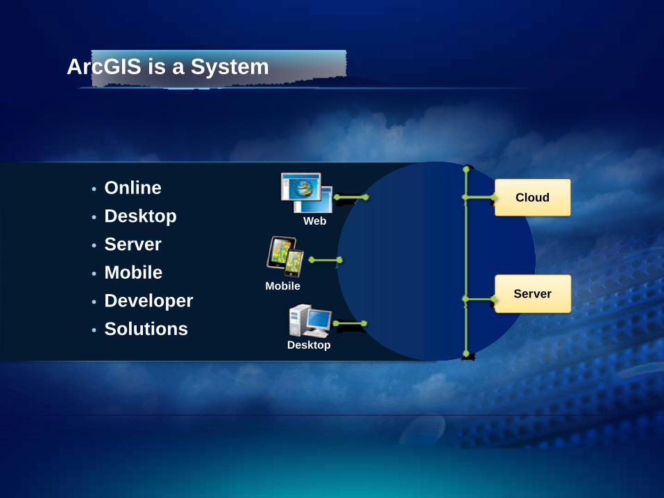
• Online• Desktop• Server• Mobile• Developer• Solutions
Cloud
ServerMobile
Desktop
Web
ArcGIS is a System
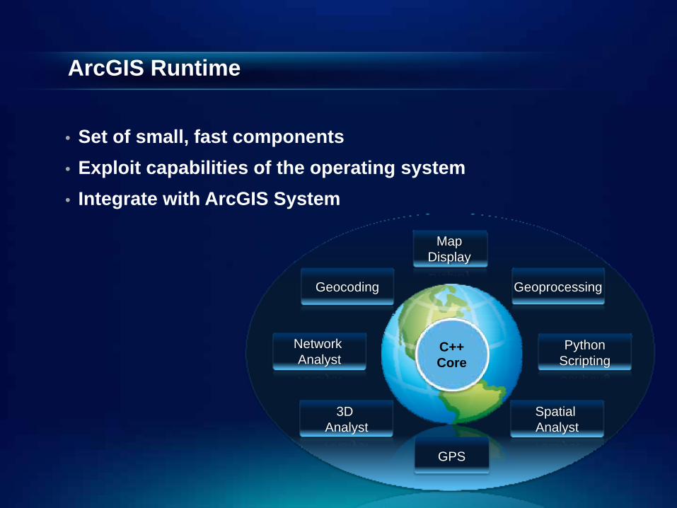
ArcGIS Runtime
• Set of small, fast components• Exploit capabilities of the operating system• Integrate with ArcGIS System
GPS
Geocoding Geoprocessing
PythonScripting
Network Analyst
Spatial Analyst
3D Analyst
MapDisplay
C++Core
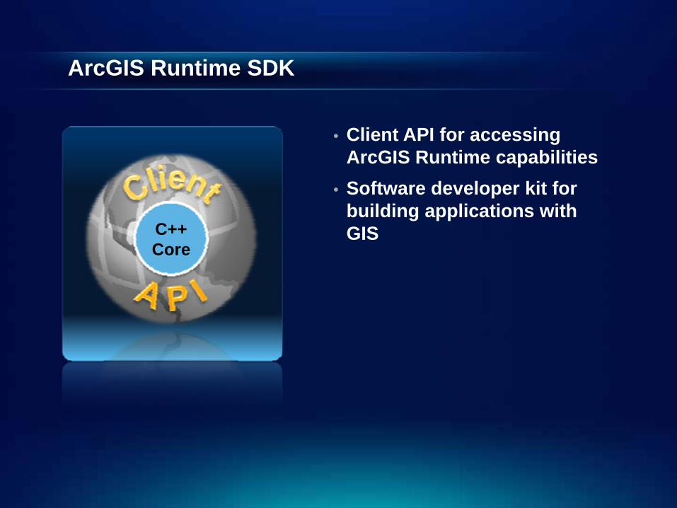
ArcGIS Runtime SDK
• Client API for accessing ArcGIS Runtime capabilities
• Software developer kit for building applications with GISC++
Core
Web or Native applications?
• ESRI supports both
• Advantages of native applications- Tighter integration with other native apps- Access to resources
- Contacts, calendar events, photos- Marketing/Hosting/Reporting via AppStore
• Disadvantages- Dedicated effort to write and maintain
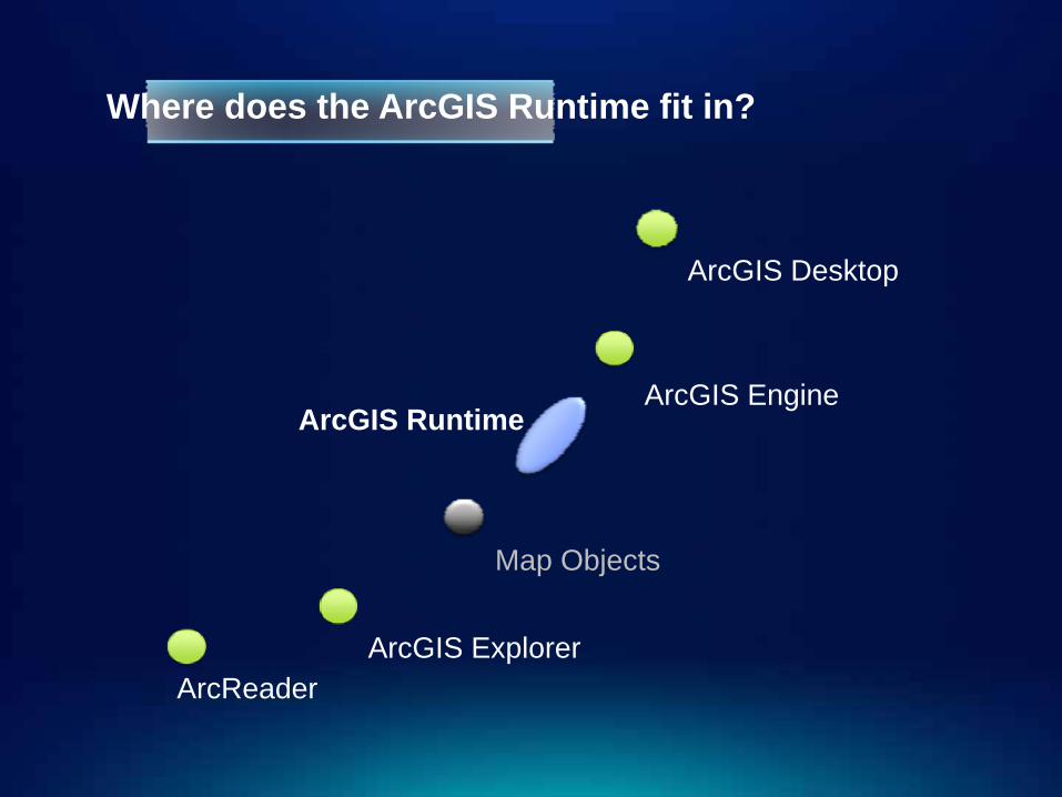
Where does the ArcGIS Runtime fit in?
ArcReader
ArcGIS Runtime
ArcGIS Desktop
ArcGIS Explorer
ArcGIS Engine
Map Objects
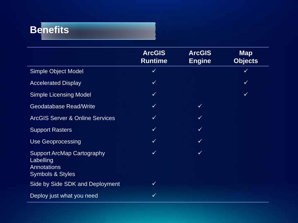
Benefits
ArcGISRuntime
ArcGISEngine
MapObjects
Simple Object Model
Accelerated Display
Simple Licensing Model
Geodatabase Read/Write
ArcGIS Server & Online Services
Support Rasters
Use Geoprocessing
Support ArcMap CartographyLabellingAnnotationsSymbols & Styles
Side by Side SDK and Deployment
Deploy just what you need
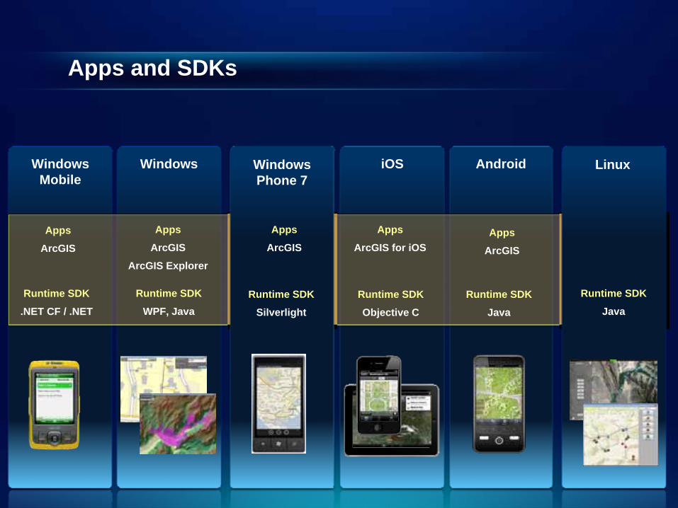
Apps and SDKs
Windows Mobile
Windows iOS Android
Runtime SDK
.NET CF / .NET
Runtime SDK
WPF, Java
Linux
Runtime SDK
JavaRuntime SDK
Objective C
Runtime SDK
Java
Windows Phone 7
Runtime SDK
Silverlight
Apps
ArcGIS
Apps
ArcGIS
ArcGIS Explorer
Apps
ArcGIS
Apps
ArcGIS for iOSApps
ArcGIS
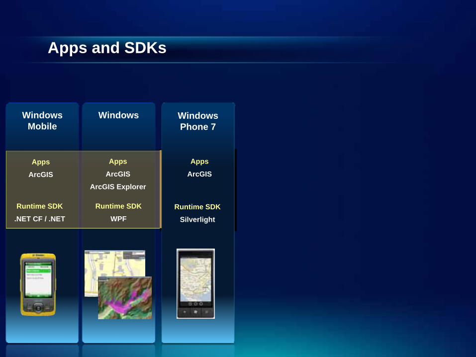
Apps and SDKs
Windows Mobile
Windows
Runtime SDK
.NET CF / .NET
Runtime SDK
WPF
Windows Phone 7
Runtime SDK
Silverlight
Apps
ArcGIS
Apps
ArcGIS
ArcGIS Explorer
Apps
ArcGIS
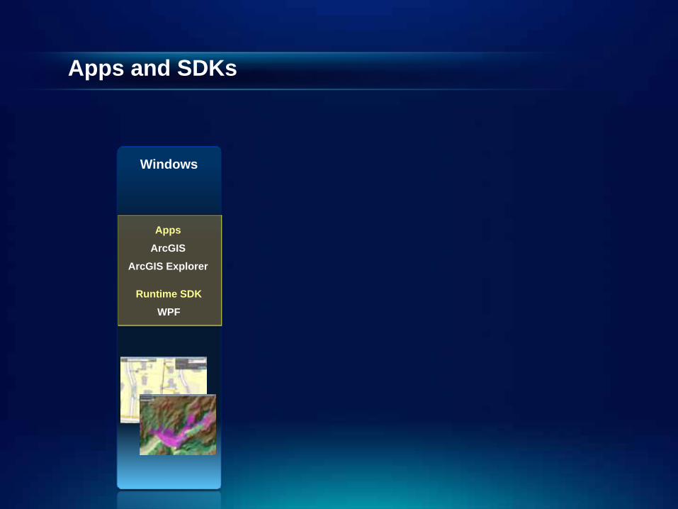
Apps and SDKs
Windows
Runtime SDK
WPF
Apps
ArcGIS
ArcGIS Explorer

Agenda
• Introduction• SDK• Building the Map• Query• Spatial Analysis• Editing and Geometry• Programming Patterns• Deployment and Licensing
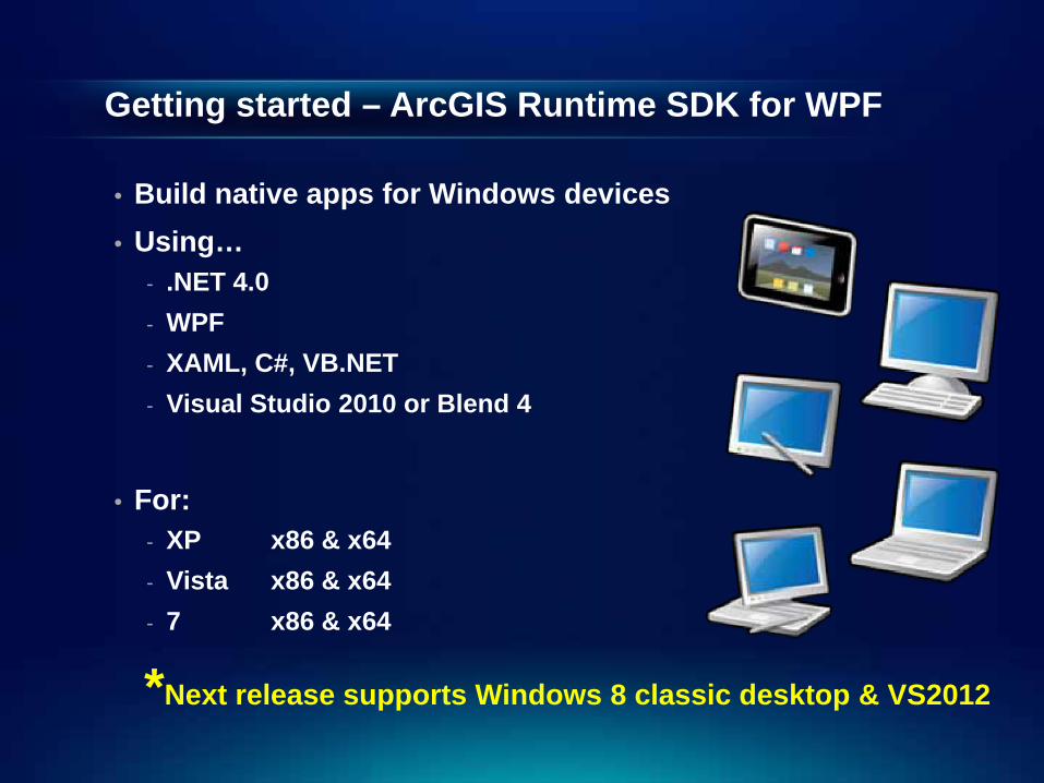
Getting started – ArcGIS Runtime SDK for WPF
• Build native apps for Windows devices • Using…
- .NET 4.0- WPF- XAML, C#, VB.NET- Visual Studio 2010 or Blend 4
• For:- XP x86 & x64- Vista x86 & x64- 7 x86 & x64
*Next release supports Windows 8 classic desktop & VS2012
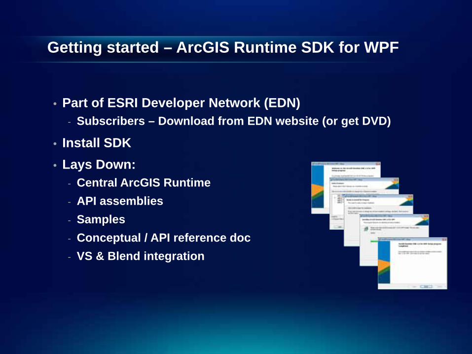
Getting started – ArcGIS Runtime SDK for WPF
• Part of ESRI Developer Network (EDN)- Subscribers – Download from EDN website (or get DVD)
• Install SDK• Lays Down:
- Central ArcGIS Runtime- API assemblies- Samples- Conceptual / API reference doc- VS & Blend integration
Demo: The SDK
Demo Summary
• Start Menu contains Sample App, help links and tools for licensing/deployment
• Resource Center- Questions – forums.arcgis.com- Enhancement requests – ideas.arcGIS.com
• Sample App
• IDE Integration
Agenda
• Introduction• SDK• Building the Map• Query• Spatial Analysis• Editing and Geometry• Programming Patterns• Deployment and Licensing
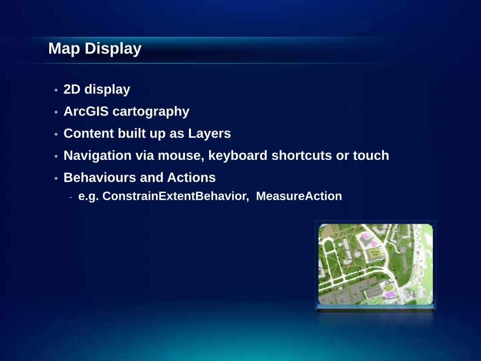
Map Display
• 2D display• ArcGIS cartography• Content built up as Layers• Navigation via mouse, keyboard shortcuts or touch• Behaviours and Actions
- e.g. ConstrainExtentBehavior, MeasureAction
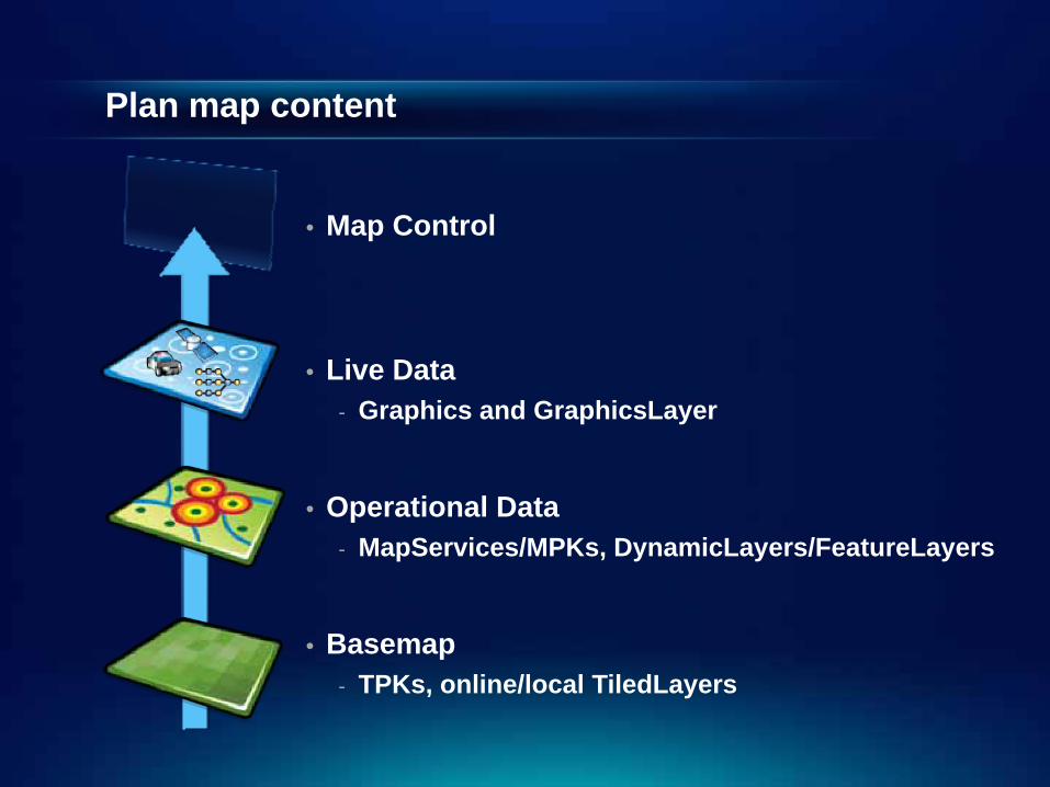
Plan map content
• Map Control
• Live Data- Graphics and GraphicsLayer
• Operational Data- MapServices/MPKs, DynamicLayers/FeatureLayers
• Basemap- TPKs, online/local TiledLayers
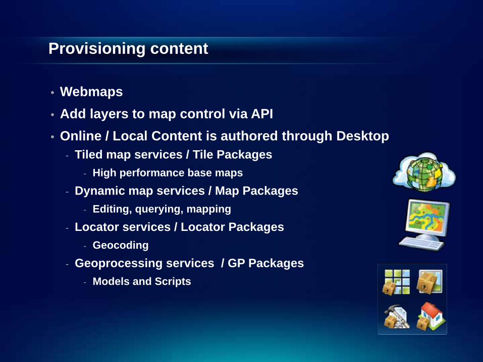
Provisioning content
• Webmaps• Add layers to map control via API• Online / Local Content is authored through Desktop
- Tiled map services / Tile Packages- High performance base maps
- Dynamic map services / Map Packages- Editing, querying, mapping
- Locator services / Locator Packages- Geocoding
- Geoprocessing services / GP Packages- Models and Scripts
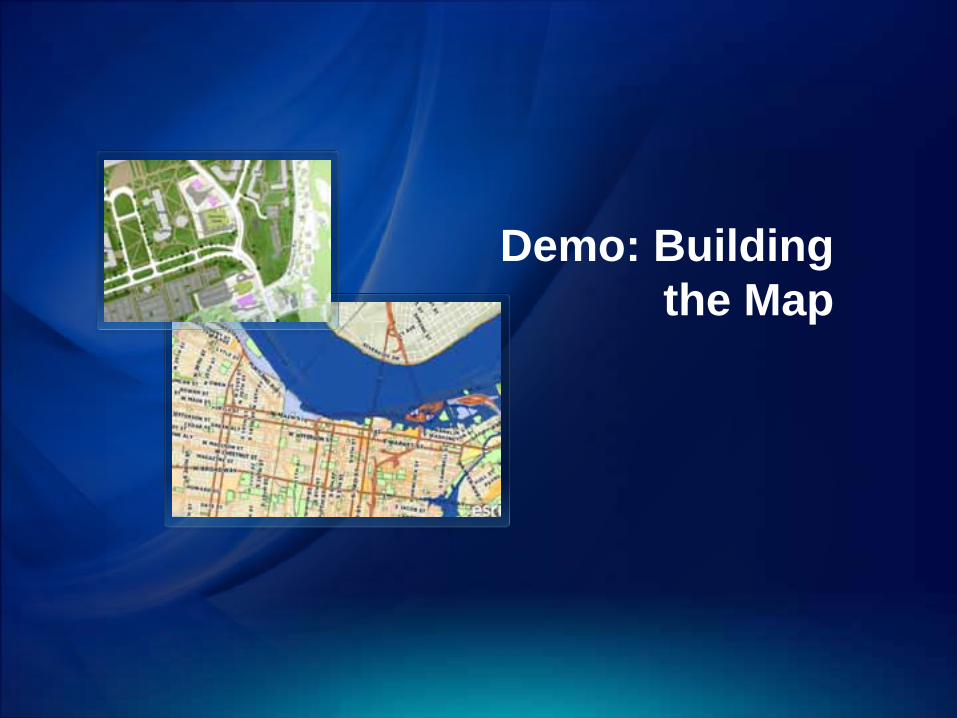
Demo: Building the Map
Demo Summary
• Build up map in layers- Tiled basemaps, dynamic operational, graphics
• Content authored in ArcGIS for Desktop- For services or for packages
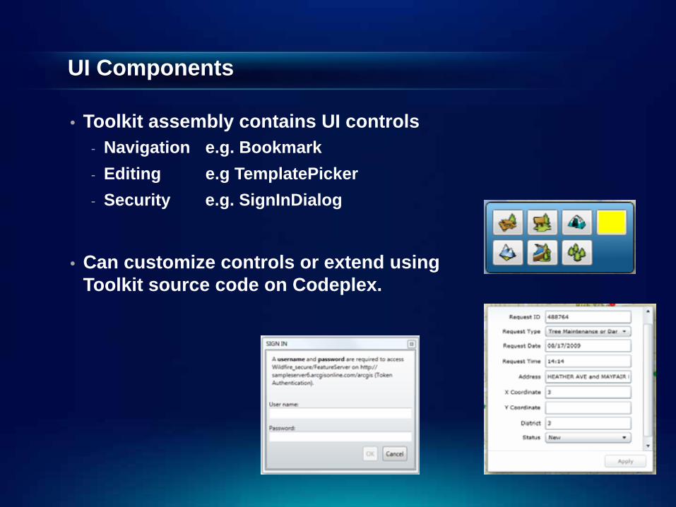
UI Components
• Toolkit assembly contains UI controls - Navigation e.g. Bookmark- Editing e.g TemplatePicker- Security e.g. SignInDialog
• Can customize controls or extend using Toolkit source code on Codeplex.
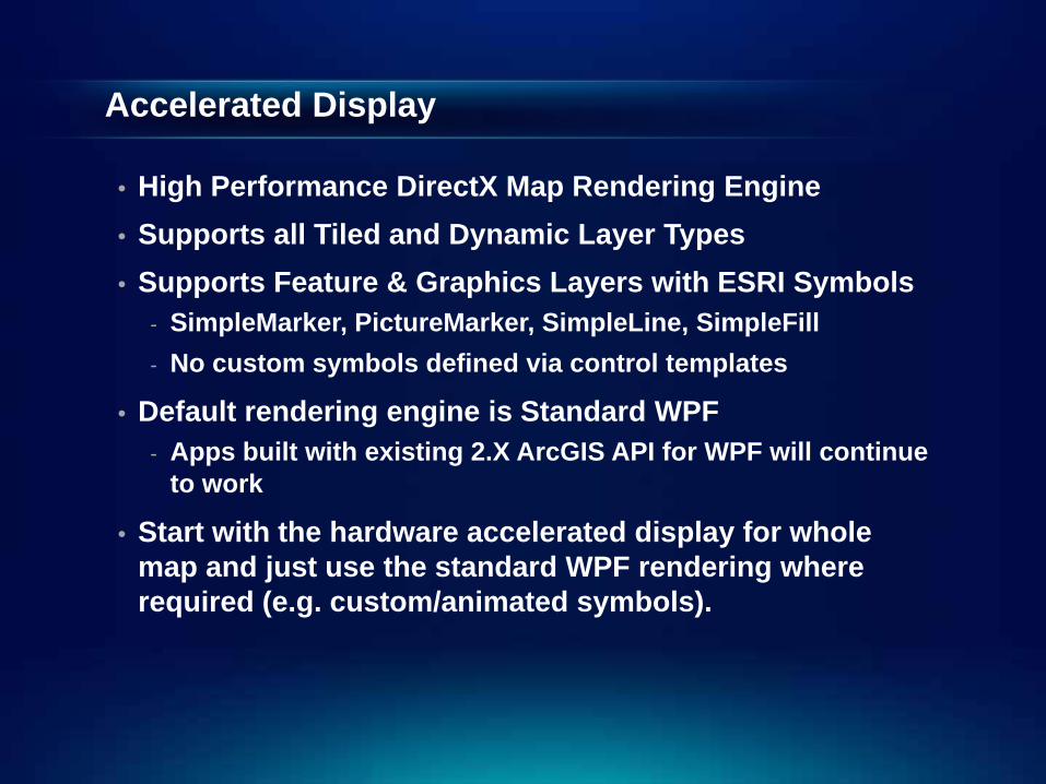
Accelerated Display
• High Performance DirectX Map Rendering Engine• Supports all Tiled and Dynamic Layer Types• Supports Feature & Graphics Layers with ESRI Symbols
- SimpleMarker, PictureMarker, SimpleLine, SimpleFill- No custom symbols defined via control templates
• Default rendering engine is Standard WPF- Apps built with existing 2.X ArcGIS API for WPF will continue
to work
• Start with the hardware accelerated display for whole map and just use the standard WPF rendering where required (e.g. custom/animated symbols).
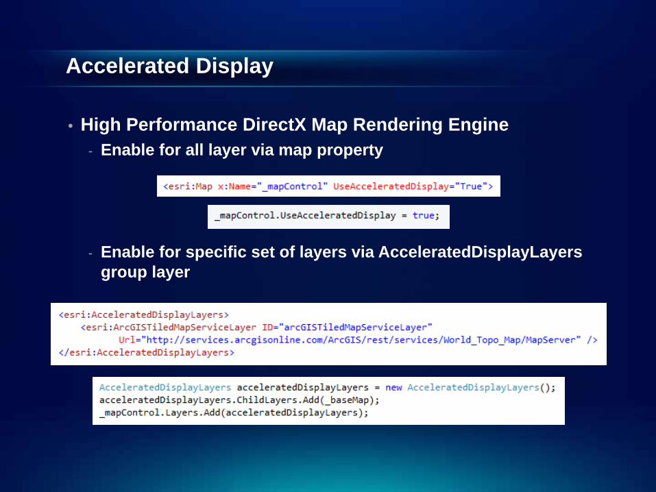
Accelerated Display
• High Performance DirectX Map Rendering Engine- Enable for all layer via map property
- Enable for specific set of layers via AcceleratedDisplayLayersgroup layer
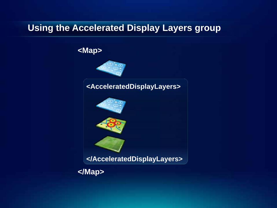
Using the Accelerated Display Layers group
<Map>
<AcceleratedDisplayLayers>
</AcceleratedDisplayLayers>
</Map>
The GPS Layer
• A Graphics Layer that can be Added to a Map • In ESRI.ArcGIS.Client.Toolkit.DataSources• Displays Data from a GeoPositionWatcher• Support NMEA Sentences• By default uses device location
- Windows 7 / Windows 8 have a location and sensor platform- FileGpsCoordinateWatcher- SerialPortGpsCoordinateWatcher
• Can implement custom GeoPositionWatchers

Agenda
• Introduction• SDK• Building the Map• Query• Spatial Analysis• Editing and Geometry• Programming Patterns• Deployment and Licensing
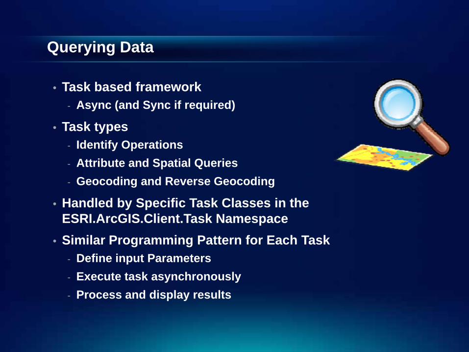
Querying Data
• Task based framework- Async (and Sync if required)
• Task types- Identify Operations- Attribute and Spatial Queries- Geocoding and Reverse Geocoding
• Handled by Specific Task Classes in the ESRI.ArcGIS.Client.Task Namespace
• Similar Programming Pattern for Each Task- Define input Parameters- Execute task asynchronously- Process and display results
Demo: Querying Data
Demo Summary
• Querying data is task based
• Same dev pattern
• Async for good behavior
• Online and offline
Agenda
• Introduction• SDK• Building the Map• Query• Spatial Analysis• Editing and Geometry• Programming Patterns• Deployment and Licensing
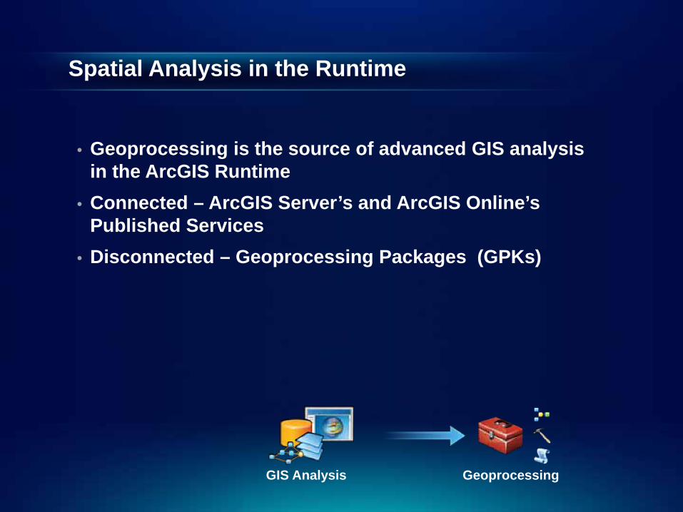
Spatial Analysis in the Runtime
• Geoprocessing is the source of advanced GIS analysis in the ArcGIS Runtime
• Connected – ArcGIS Server’s and ArcGIS Online’sPublished Services
• Disconnected – Geoprocessing Packages (GPKs)
GIS Analysis Geoprocessing
Geoprocessing Demo
Demo Summary
• Analysis provided by geoprocessing
• Same dev pattern as for other tasks
• Async for good behavior
• Online and offline
Agenda
• Introduction• SDK• Building the Map• Query• Spatial Analysis• Editing and Geometry• Programming Patterns• Deployment and Licensing
Editing Features
• ArcGIS Runtime Editing- Data in a Map Package- Features from a Feature Service
• Edit in Connected and Disconnected Mode• The SDK includes:
- UI controls / widgets for editing- Fine-grained API components
• Edit environment authored in ArcGIS for Desktop
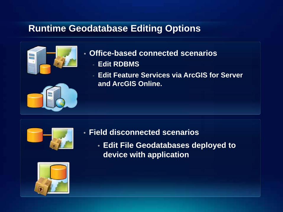
Runtime Geodatabase Editing Options
• Office-based connected scenarios - Edit RDBMS- Edit Feature Services via ArcGIS for Server
and ArcGIS Online.
• Field disconnected scenarios• Edit File Geodatabases deployed to
device with application
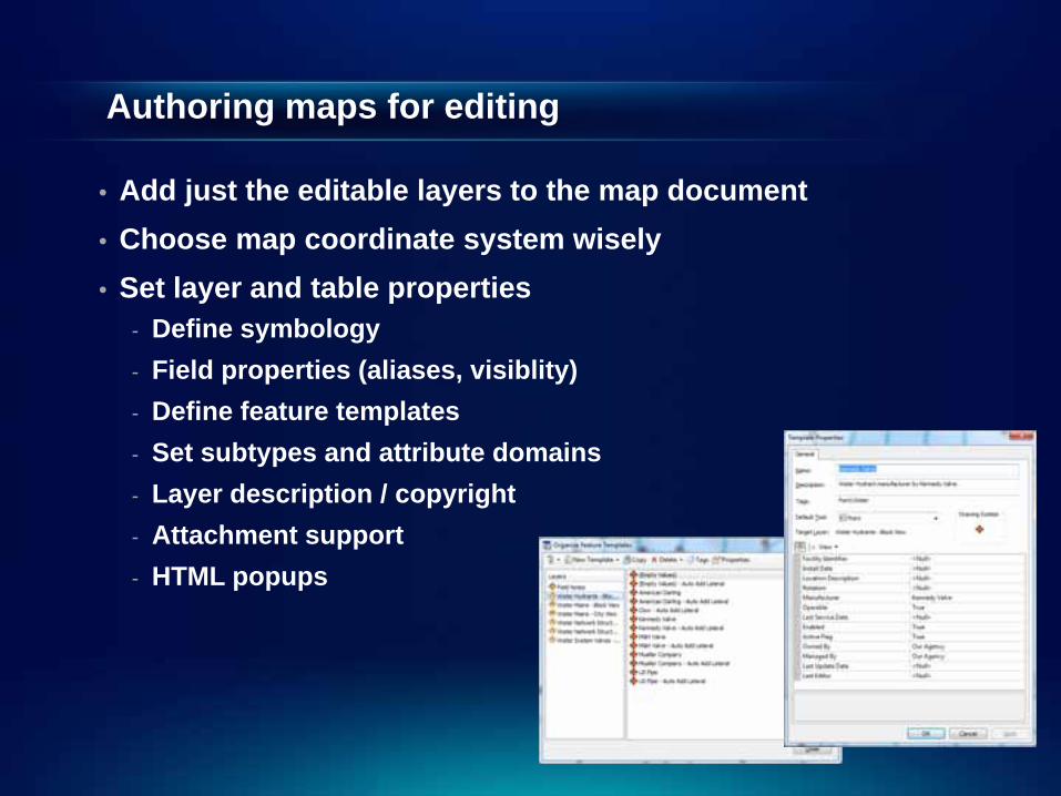
Authoring maps for editing
• Add just the editable layers to the map document• Choose map coordinate system wisely• Set layer and table properties
- Define symbology- Field properties (aliases, visiblity)- Define feature templates- Set subtypes and attribute domains - Layer description / copyright- Attachment support- HTML popups
Editing Demo
Demo Summary
• Editing provided by feature services
• Author content in ArcMap
• Online and offline
• UI controls and components
Geometry Service / API
• ArcGIS Runtime SDKs have a local, lightweight geometry capability
• Geometric calculations and utility methods- Buffer, clip, distance, project, densify, relate, simplify,
union, difference, disjoint, symmetric difference…
• For Editor widgets / controls geometry services help perform common editing operations e.g. cutting and reshaping features

Agenda
• Introduction• SDK• Building the Map• Query• Spatial Analysis• Editing and Geometry• Programming Patterns• Deployment and Licensing
User Experience – Asynchronous Patterns
• API has an Asynchronous Programming Model• Application Responsiveness is Paramount• Async Lets You:
- Perform time-consuming tasks in the background- Execute multiple operations simultaneously- Wait for resources to become available without hanging
your application
• Event Based Async Pattern- ExecuteAsync(…) / ExecuteCompleted
• Synchronous methods available but should be reserved to special cases e.g. Console Application
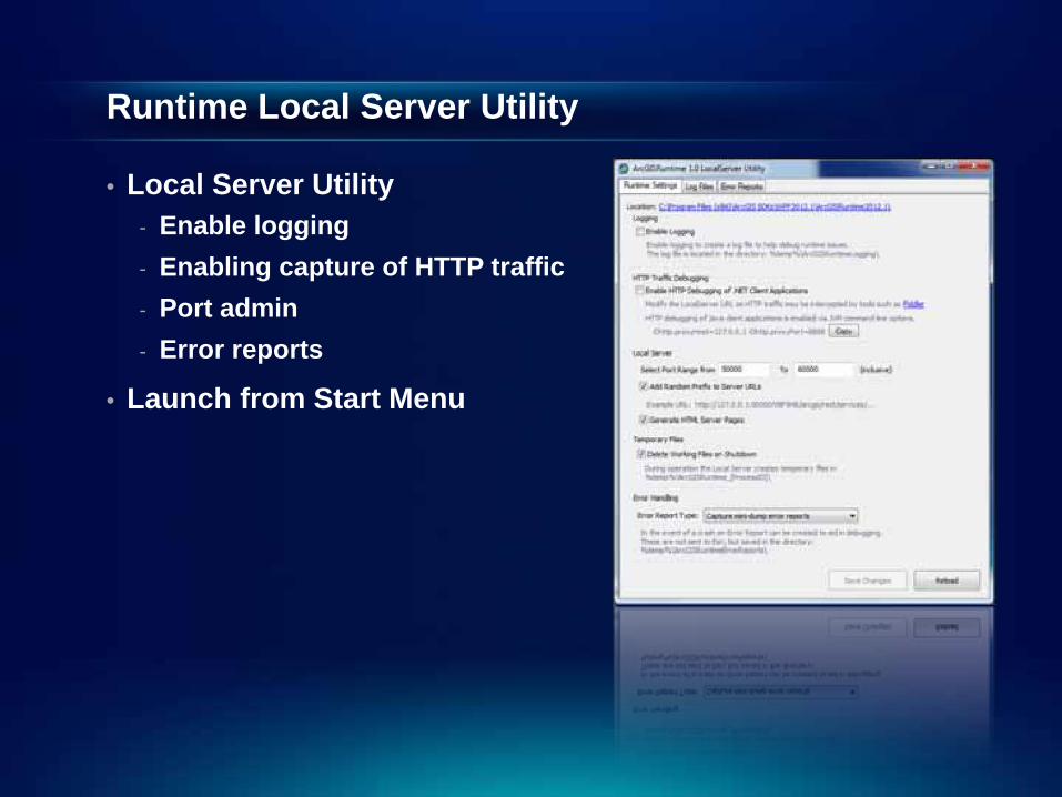
Runtime Local Server Utility
• Local Server Utility- Enable logging- Enabling capture of HTTP traffic- Port admin- Error reports
• Launch from Start Menu

Agenda
• Introduction• SDK• Building the Map• Query• Spatial Analysis• Editing and Geometry• Programming Patterns• Deployment and Licensing

Preparing to Deploy
• License the Application with an ArcGIS Runtime deployment license string
- Take note of ArcGIS for Desktop analyser warnings- Ensure it’s the correct level and includes any extensions
• Make sure the license string is not accessible via reflection e.g. use obfuscation.
• Create an ArcGIS Runtime Deployment • Select the Client Assemblies Required
- in the build output directory
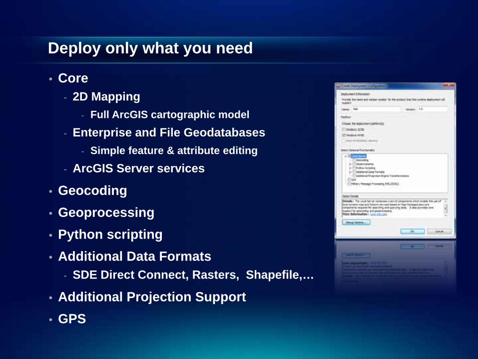
Deploy only what you need
• Core- 2D Mapping
- Full ArcGIS cartographic model- Enterprise and File Geodatabases
- Simple feature & attribute editing- ArcGIS Server services
• Geocoding• Geoprocessing• Python scripting• Additional Data Formats
- SDE Direct Connect, Rasters, Shapefile,…
• Additional Projection Support• GPS
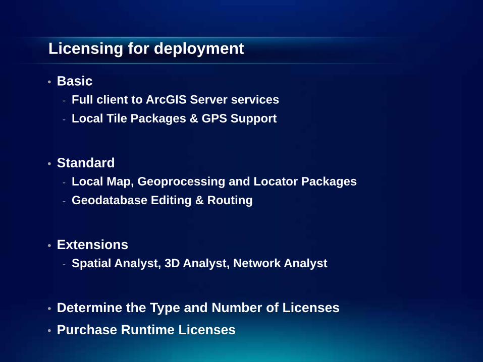
Licensing for deployment
• Basic- Full client to ArcGIS Server services- Local Tile Packages & GPS Support
• Standard- Local Map, Geoprocessing and Locator Packages- Geodatabase Editing & Routing
• Extensions- Spatial Analyst, 3D Analyst, Network Analyst
• Determine the Type and Number of Licenses• Purchase Runtime Licenses
Demo: Deploying an App
Demo Summary
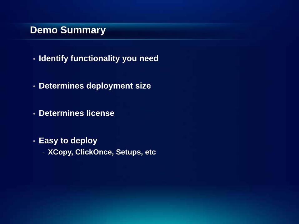
• Identify functionality you need
• Determines deployment size
• Determines license
• Easy to deploy- XCopy, ClickOnce, Setups, etc
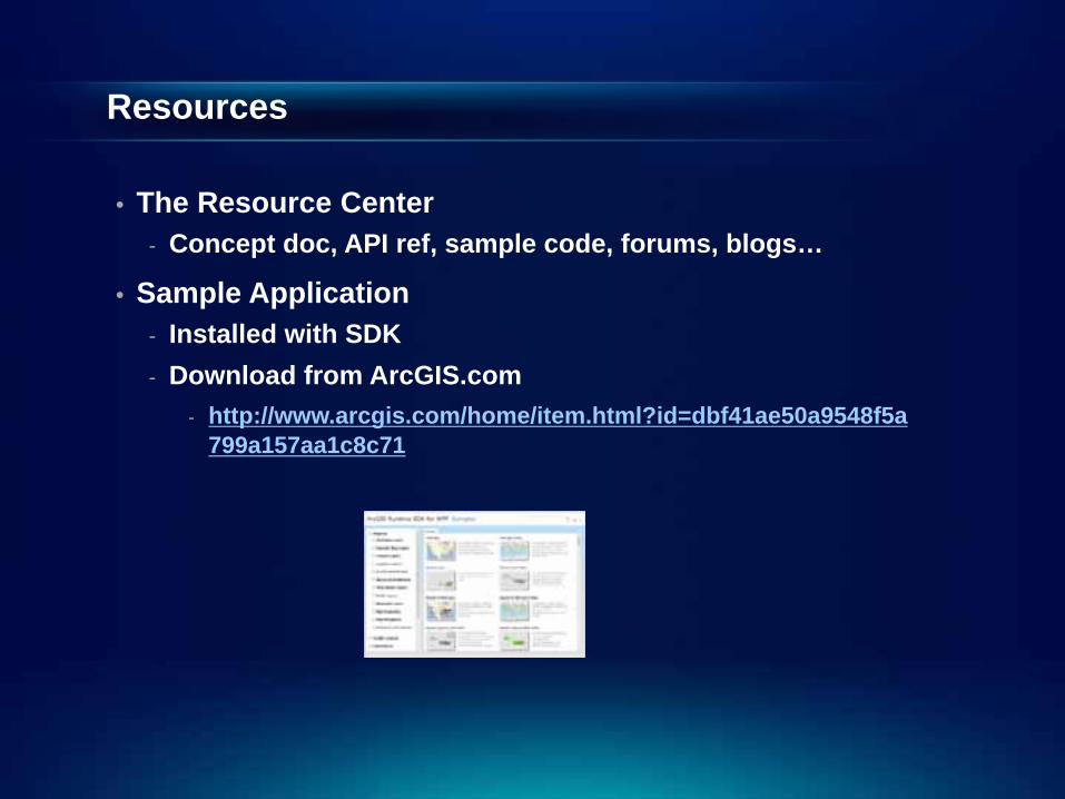
Resources
• The Resource Center- Concept doc, API ref, sample code, forums, blogs…
• Sample Application- Installed with SDK- Download from ArcGIS.com
- http://www.arcgis.com/home/item.html?id=dbf41ae50a9548f5a799a157aa1c8c71
Roadmap – Winter release
• Display improvements• New layer types• Security enhancements• Deployment enhancements• Additional platform/IDE support
- Support for Windows 8 desktop and VS2012
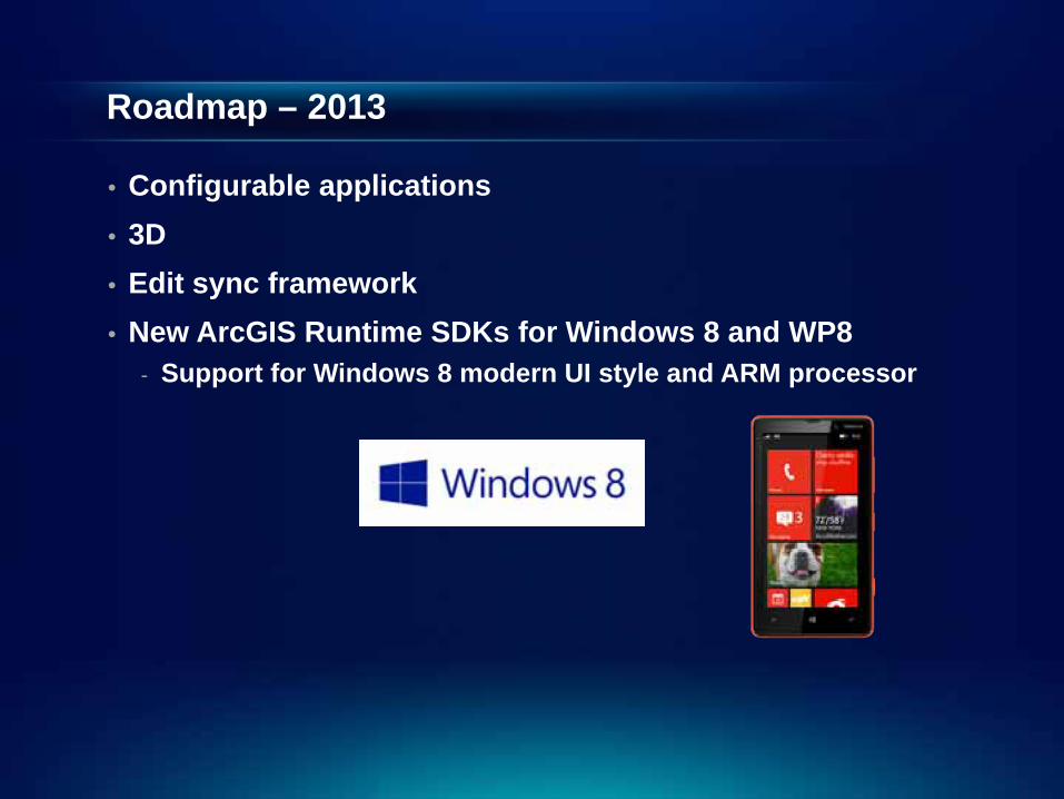
Roadmap – 2013
• Configurable applications• 3D• Edit sync framework• New ArcGIS Runtime SDKs for Windows 8 and WP8
- Support for Windows 8 modern UI style and ARM processor
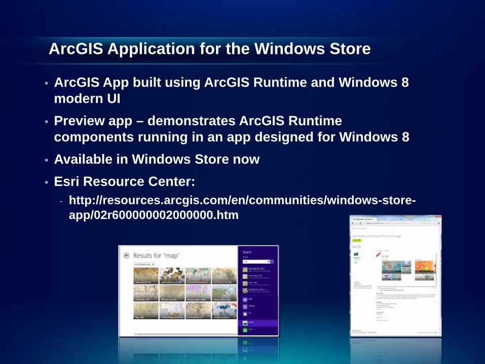
ArcGIS Application for the Windows Store
• ArcGIS App built using ArcGIS Runtime and Windows 8 modern UI
• Preview app – demonstrates ArcGIS Runtime components running in an app designed for Windows 8
• Available in Windows Store now• Esri Resource Center:
- http://resources.arcgis.com/en/communities/windows-store-app/02r600000002000000.htm

Thank you for attending
Questions?
Talk to us at the social…
Forums.arcgis.comIdeas.arcgis.com