arcgis server 9 - tucsonaz.gov · what is arcgis server? • set of software components that...
TRANSCRIPT
ArcGIS Server 9.1ArcGIS Server 9.1
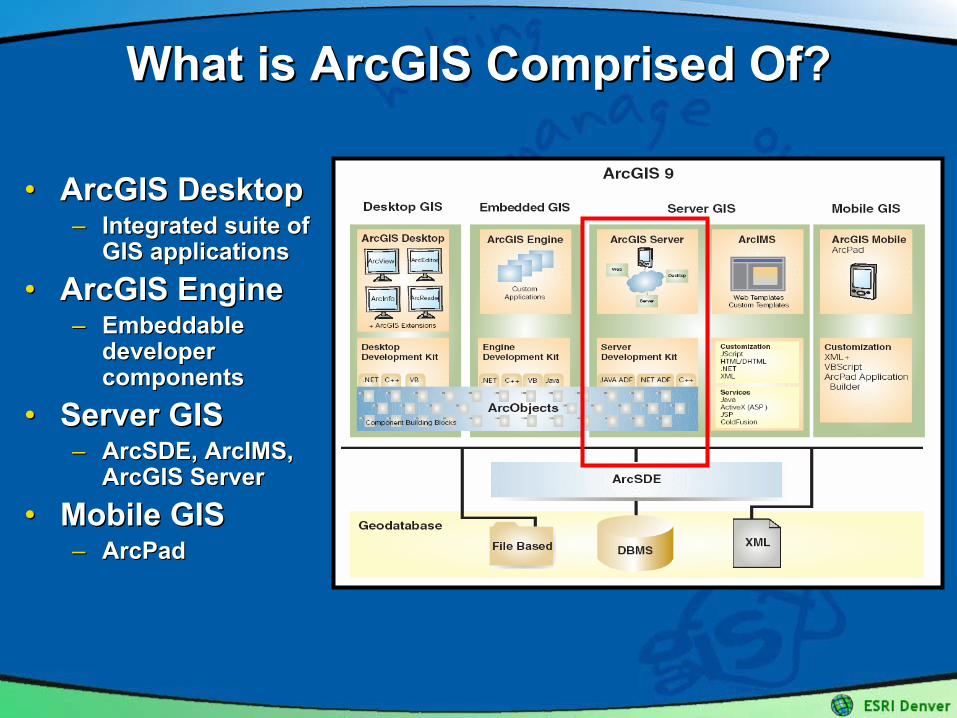
What is ArcGIS Comprised Of?What is ArcGIS Comprised Of?
•• ArcGIS DesktopArcGIS Desktop–– Integrated suite of Integrated suite of
GIS applicationsGIS applications
•• ArcGIS EngineArcGIS Engine–– Embeddable Embeddable
developer developer componentscomponents
•• Server GISServer GIS–– ArcSDE, ArcIMS, ArcSDE, ArcIMS,
ArcGIS ServerArcGIS Server
•• Mobile GISMobile GIS–– ArcPadArcPad
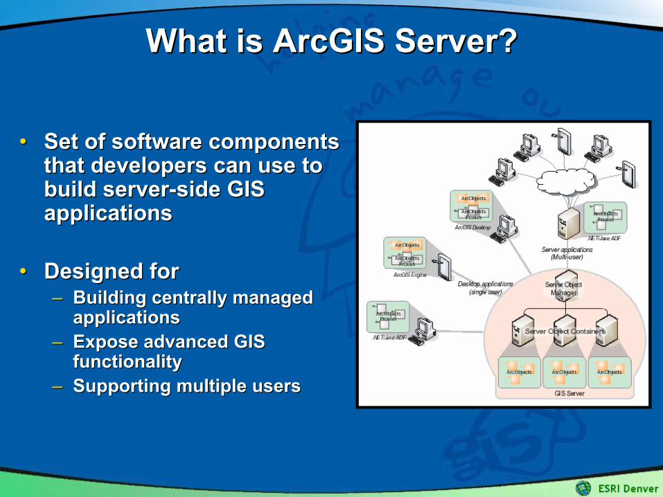
What is ArcGIS Server?What is ArcGIS Server?
•• Set of software components Set of software components that developers can use to that developers can use to build serverbuild server--side GIS side GIS applicationsapplications
•• Designed forDesigned for–– Building centrally managed Building centrally managed
applicationsapplications–– Expose advanced GIS Expose advanced GIS
functionalityfunctionality–– Supporting multiple usersSupporting multiple users
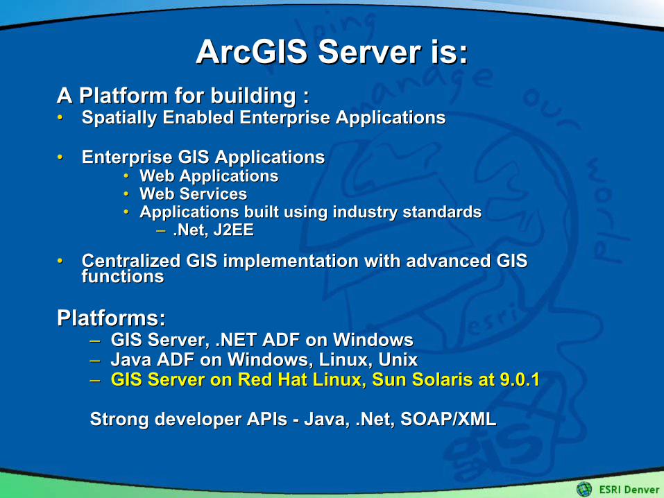
ArcGIS Server is:ArcGIS Server is:A Platform for building :A Platform for building :•• Spatially Enabled Enterprise Applications Spatially Enabled Enterprise Applications
•• Enterprise GIS ApplicationsEnterprise GIS Applications•• Web ApplicationsWeb Applications•• Web ServicesWeb Services•• Applications built using industry standards Applications built using industry standards
–– .Net, J2EE.Net, J2EE
•• Centralized GIS implementation with advanced GIS Centralized GIS implementation with advanced GIS functions functions
Platforms:Platforms:–– GIS Server, .NET ADF on WindowsGIS Server, .NET ADF on Windows–– Java ADF on Windows, Linux, UnixJava ADF on Windows, Linux, Unix–– GIS Server on Red Hat Linux, Sun Solaris at 9.0.1GIS Server on Red Hat Linux, Sun Solaris at 9.0.1
Strong developer APIs Strong developer APIs -- Java, .Net, SOAP/XMLJava, .Net, SOAP/XML
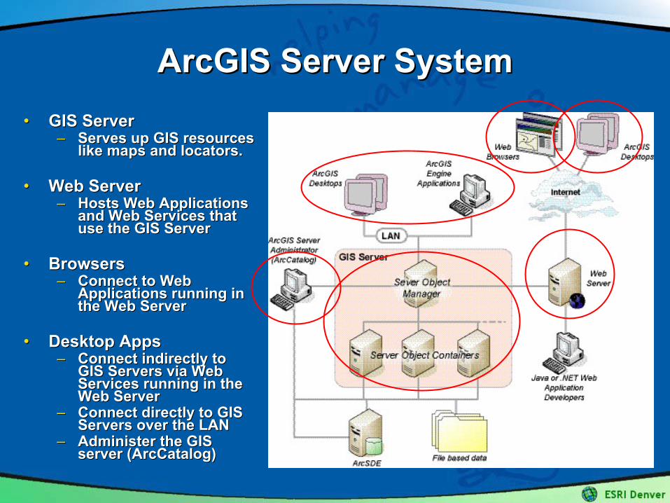
ArcGIS Server SystemArcGIS Server System•• GIS ServerGIS Server
–– Serves up GIS resources Serves up GIS resources like maps and locators. like maps and locators.
•• Web ServerWeb Server–– Hosts Web Applications Hosts Web Applications
and Web Services that and Web Services that use the GIS Serveruse the GIS Server
•• BrowsersBrowsers–– Connect to Web Connect to Web
Applications running in Applications running in the Web Serverthe Web Server
•• Desktop AppsDesktop Apps–– Connect indirectly to Connect indirectly to
GIS Servers via Web GIS Servers via Web Services running in the Services running in the Web ServerWeb Server
–– Connect directly to GIS Connect directly to GIS Servers over the LANServers over the LAN
–– Administer the GIS Administer the GIS server (ArcCatalog)server (ArcCatalog)
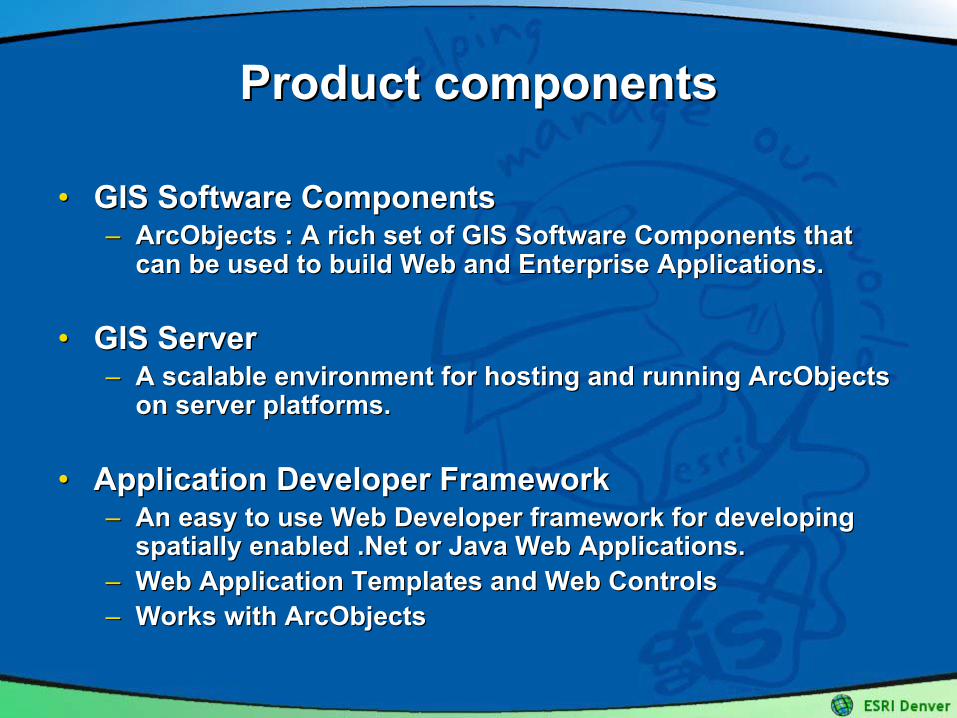
Product componentsProduct components
•• GIS Software ComponentsGIS Software Components–– ArcObjects : A rich set of GIS Software Components that ArcObjects : A rich set of GIS Software Components that
can be used to build Web and Enterprise Applications.can be used to build Web and Enterprise Applications.
•• GIS ServerGIS Server–– A scalable environment for hosting and running ArcObjects A scalable environment for hosting and running ArcObjects
on server platforms.on server platforms.
•• Application Developer FrameworkApplication Developer Framework–– An easy to use Web Developer framework for developing An easy to use Web Developer framework for developing
spatially enabled .Net or Java Web Applications. spatially enabled .Net or Java Web Applications. –– Web Application Templates and Web ControlsWeb Application Templates and Web Controls–– Works with ArcObjectsWorks with ArcObjects
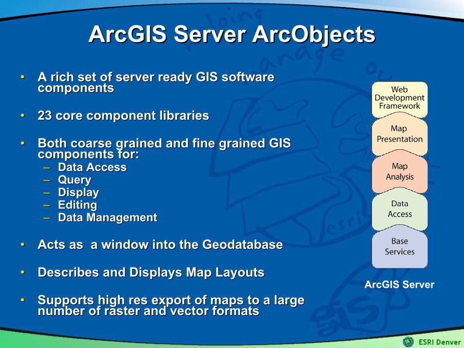
ArcGIS Server ArcObjectsArcGIS Server ArcObjects•• A rich set of server ready GIS software A rich set of server ready GIS software
componentscomponents
•• 23 core component libraries23 core component libraries
•• Both coarse grained and fine grained GIS Both coarse grained and fine grained GIS components for:components for:–– Data AccessData Access–– QueryQuery–– DisplayDisplay–– Editing Editing –– Data ManagementData Management
•• Acts as a window into the Acts as a window into the GeodatabaseGeodatabase
•• Describes and Displays Map LayoutsDescribes and Displays Map Layouts
•• Supports high res export of maps to a large Supports high res export of maps to a large number of raster and vector formatsnumber of raster and vector formats
ArcGIS Server
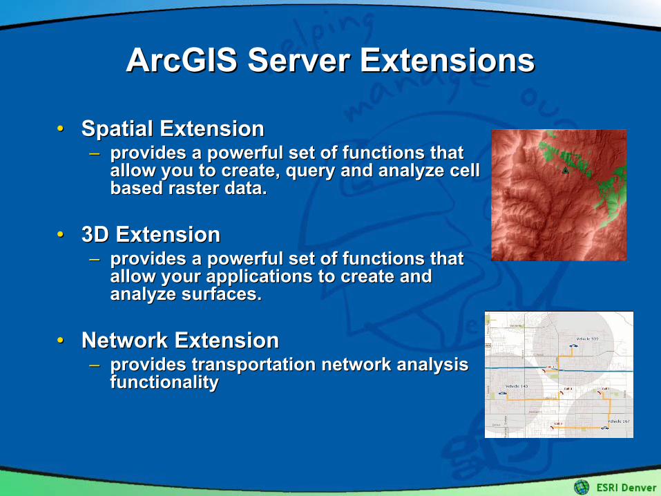
ArcGIS Server ExtensionsArcGIS Server Extensions
•• Spatial ExtensionSpatial Extension–– provides a powerful set of functions that provides a powerful set of functions that
allow you to create, query and analyze cell allow you to create, query and analyze cell based raster data.based raster data.
•• 3D Extension3D Extension–– provides a powerful set of functions that provides a powerful set of functions that
allow your applications to create and allow your applications to create and analyze surfaces.analyze surfaces.
•• Network ExtensionNetwork Extension–– provides transportation network analysis provides transportation network analysis
functionalityfunctionality
GIS ServerGIS Server
•• The Server hosts and runs Server ObjectsThe Server hosts and runs Server Objects
•• A Server Object is a software object that serves a A Server Object is a software object that serves a GIS resource such as a map or a locatorGIS resource such as a map or a locator–– esriCarto.MapServeresriCarto.MapServer –– exposes a Map Documentexposes a Map Document–– esriLocation.GeocodeServeresriLocation.GeocodeServer –– exposes a Locator exposes a Locator
•• Server Objects are managed by and run within the Server Objects are managed by and run within the ServerServer
GIS ServerGIS Server
•• Server = Server Object Manager (SOM) + Server Server = Server Object Manager (SOM) + Server Object Containers (SOCs)Object Containers (SOCs)
•• Server Object ManagerServer Object Manager–– Manages server objects that are distributed across a set of Manages server objects that are distributed across a set of
server containersserver containers–– A Windows service/ Unix daemonA Windows service/ Unix daemon
•• Server ContainerServer Container–– A process started by the Server Object ManagerA process started by the Server Object Manager–– Hosts one or more server objectsHosts one or more server objects
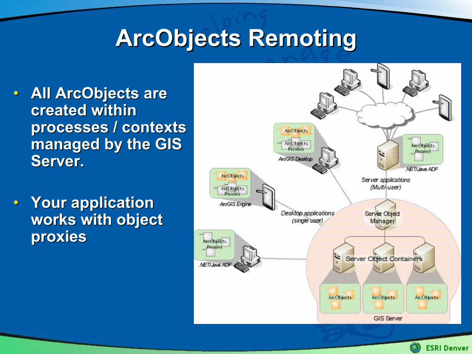
ArcObjects ArcObjects RemotingRemoting
•• All ArcObjects are All ArcObjects are created within created within processes / contexts processes / contexts managed by the GIS managed by the GIS Server.Server.
•• Your application Your application works with object works with object proxiesproxies
Application Developer Framework Application Developer Framework (ADF)(ADF)
•• A framework for building ArcGIS Web A framework for building ArcGIS Web Applications and Web ServicesApplications and Web Services
•• Developer APIs for .NET and JavaDeveloper APIs for .NET and Java
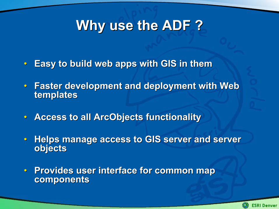
Why use the ADF ?Why use the ADF ?
•• Easy to build web apps with GIS in themEasy to build web apps with GIS in them
•• Faster development and deployment with Web Faster development and deployment with Web templatestemplates
•• Access to all ArcObjects functionalityAccess to all ArcObjects functionality
•• Helps manage access to GIS server and server Helps manage access to GIS server and server objectsobjects
•• Provides user interface for common map Provides user interface for common map componentscomponents
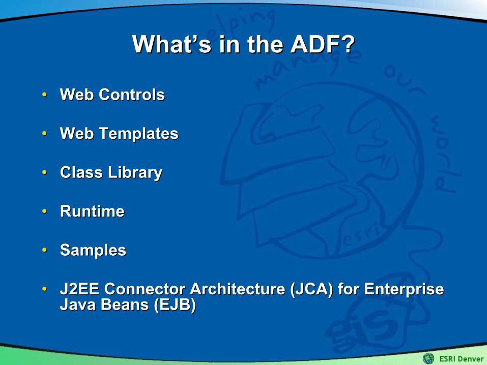
WhatWhat’’s in the ADF?s in the ADF?
•• Web ControlsWeb Controls
•• Web TemplatesWeb Templates
•• Class LibraryClass Library
•• RuntimeRuntime
•• SamplesSamples
•• J2EE Connector Architecture (JCA) for Enterprise J2EE Connector Architecture (JCA) for Enterprise Java Beans (EJB)Java Beans (EJB)
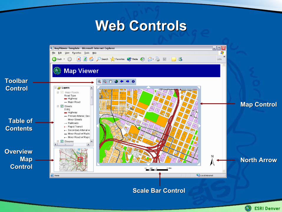
Web ControlsWeb Controls
Map ControlMap Control
North ArrowNorth ArrowOverview Overview
Map Map ControlControl
Toolbar Toolbar ControlControl
Table of Table of ContentsContents
Scale Bar ControlScale Bar Control
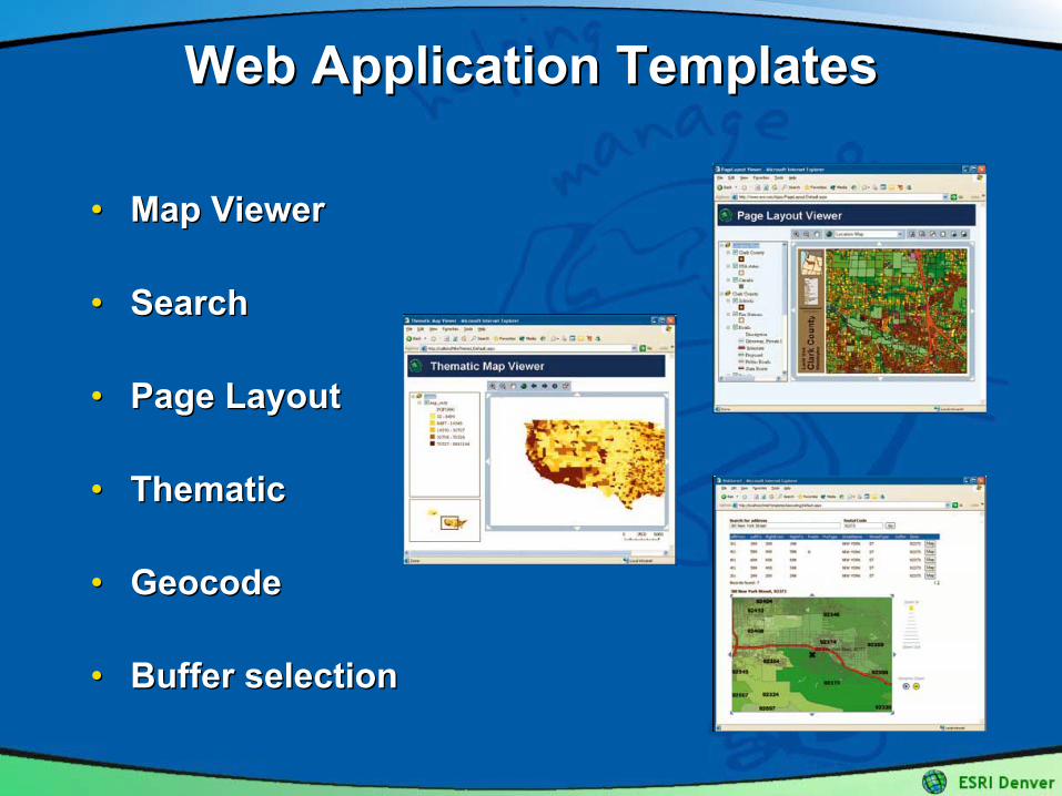
Web Application TemplatesWeb Application Templates
•• Map ViewerMap Viewer
•• SearchSearch
•• Page LayoutPage Layout
•• ThematicThematic
•• GeocodeGeocode
•• Buffer selectionBuffer selection
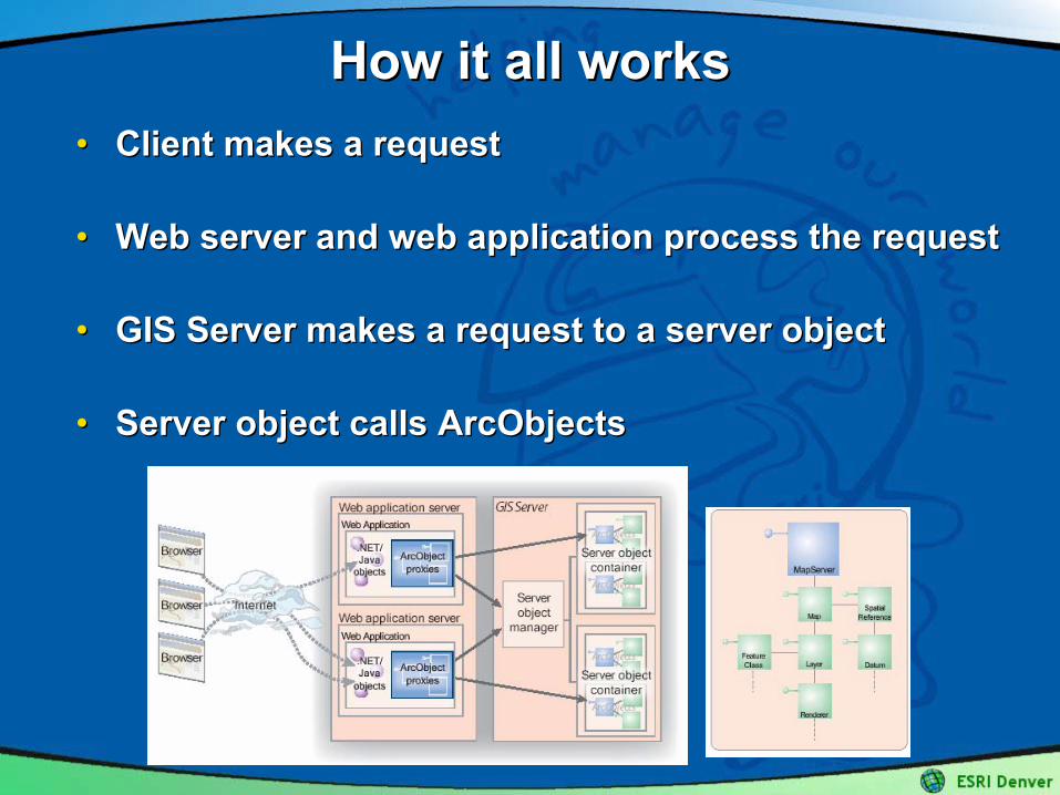
How it all worksHow it all works•• Client makes a requestClient makes a request
•• Web server and web application process the requestWeb server and web application process the request
•• GIS Server makes a request to a server objectGIS Server makes a request to a server object
•• Server object calls Server object calls ArcObjectsArcObjects
Programming ModelProgramming Model
EDN EDN –– The ESRI Developer NetworkThe ESRI Developer NetworkThis is where you start with ArcGIS ServerThis is where you start with ArcGIS Server
•• $1500 Subscription$1500 Subscription•• Expandable for support contractsExpandable for support contracts•• New paradigm for ESRI Developer ProductsNew paradigm for ESRI Developer Products
–– Develop first, then deployDevelop first, then deploy•• Changes the preferred server licensing modelChanges the preferred server licensing model
–– EDN is the new EDN is the new ““developer seatdeveloper seat””•• Prerequisites for server developmentPrerequisites for server development–– ArcGIS DesktopArcGIS Desktop
•• Data ManagementData Management•• Data CreationData Creation•• Server AdministrationServer Administration
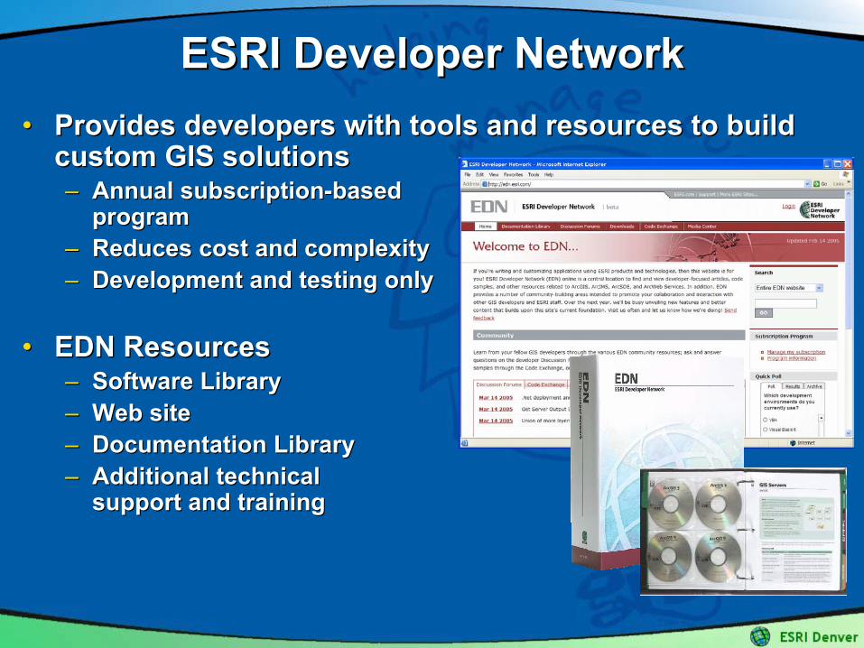
ESRI Developer NetworkESRI Developer Network•• Provides developers with tools and resources to build Provides developers with tools and resources to build
custom GIS solutionscustom GIS solutions–– Annual subscriptionAnnual subscription--based based
programprogram–– Reduces cost and complexityReduces cost and complexity–– Development and testing onlyDevelopment and testing only
•• EDN ResourcesEDN Resources–– Software LibrarySoftware Library–– Web siteWeb site–– Documentation LibraryDocumentation Library–– Additional technical Additional technical
support and trainingsupport and training
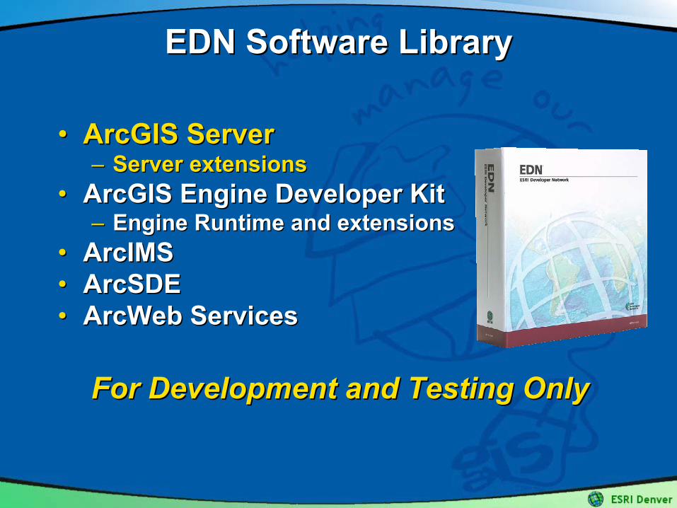
EDN Software LibraryEDN Software Library
•• ArcGIS ServerArcGIS Server–– Server extensionsServer extensions
•• ArcGIS Engine Developer Kit ArcGIS Engine Developer Kit –– Engine Runtime and extensionsEngine Runtime and extensions
•• ArcIMS ArcIMS •• ArcSDEArcSDE•• ArcWeb ServicesArcWeb Services
For Development and Testing OnlyFor Development and Testing Only
ArcGIS Server APIsArcGIS Server APIs
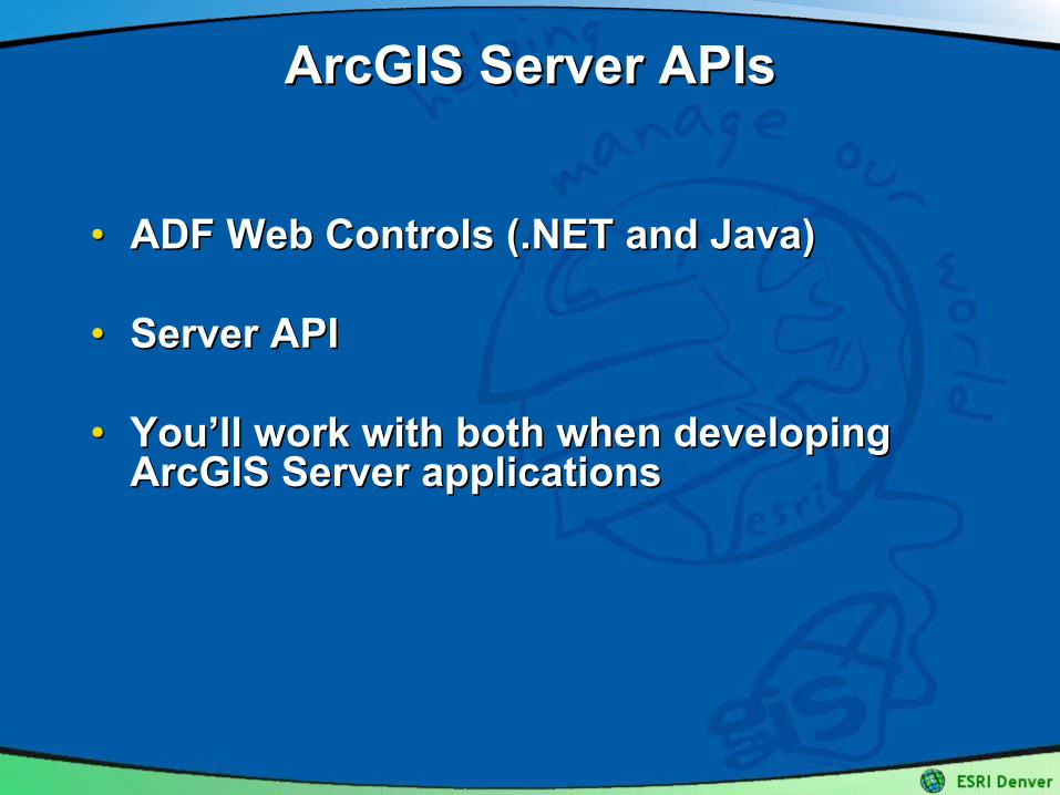
•• ADF Web Controls (.NET and Java)ADF Web Controls (.NET and Java)
•• Server APIServer API
•• YouYou’’ll work with both when developing ll work with both when developing ArcGIS Server applicationsArcGIS Server applications
Developing with ArcGIS ServerDeveloping with ArcGIS Server
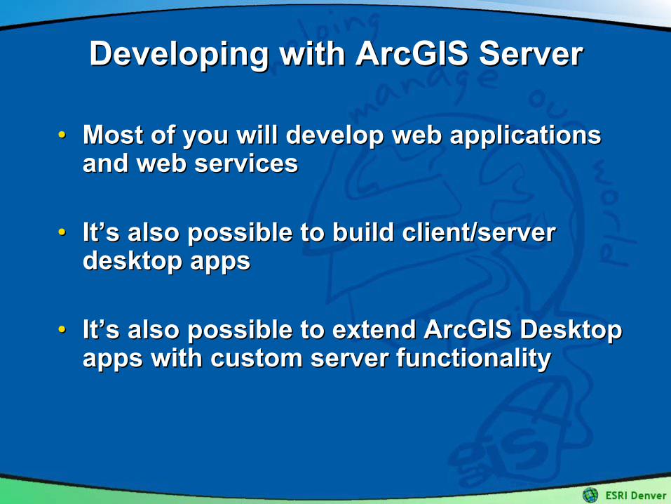
•• Most of you will develop web applications Most of you will develop web applications and web servicesand web services
•• ItIt’’s also possible to build client/server s also possible to build client/server desktop appsdesktop apps
•• ItIt’’s also possible to extend ArcGIS Desktop s also possible to extend ArcGIS Desktop apps with custom server functionalityapps with custom server functionality
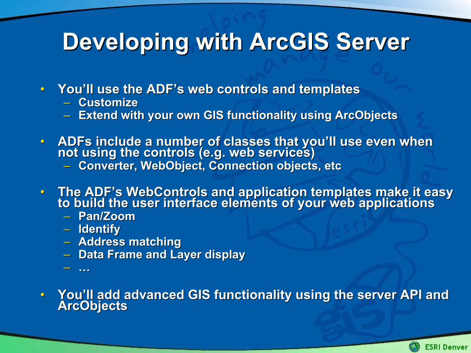
•• YouYou’’ll use the ll use the ADFADF’’ss web controls and templatesweb controls and templates–– CustomizeCustomize–– Extend with your own GIS functionality using ArcObjectsExtend with your own GIS functionality using ArcObjects
•• ADFsADFs include a number of classes that youinclude a number of classes that you’’ll use even when ll use even when not using the controls (e.g. web services)not using the controls (e.g. web services)–– Converter, Converter, WebObjectWebObject, Connection objects, etc, Connection objects, etc
•• The The ADFADF’’ss WebControlsWebControls and application templates make it easy and application templates make it easy to build the user interface elements of your web applicationsto build the user interface elements of your web applications–– Pan/ZoomPan/Zoom–– IdentifyIdentify–– Address matchingAddress matching–– Data Frame and Layer displayData Frame and Layer display–– ……
•• YouYou’’ll add advanced GIS functionality using the server API and ll add advanced GIS functionality using the server API and ArcObjectsArcObjects
Developing with ArcGIS ServerDeveloping with ArcGIS Server
Developing with ArcGIS ServerDeveloping with ArcGIS Server
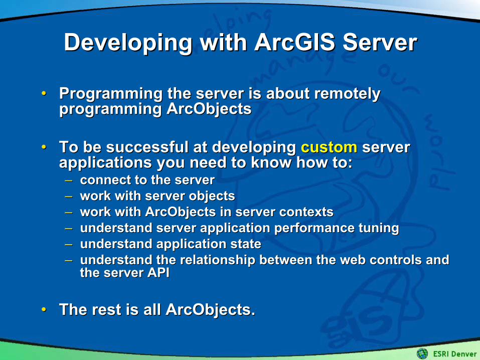
•• Programming the server is about remotely Programming the server is about remotely programming ArcObjectsprogramming ArcObjects
•• To be successful at developing To be successful at developing customcustom server server applications you need to know how to:applications you need to know how to:–– connect to the serverconnect to the server–– work with server objectswork with server objects–– work with ArcObjects in server contextswork with ArcObjects in server contexts–– understand server application performance tuningunderstand server application performance tuning–– understand application stateunderstand application state–– understand the relationship between the web controls and understand the relationship between the web controls and
the server APIthe server API
•• The rest is all ArcObjects.The rest is all ArcObjects.
Developing with ArcGIS ServerDeveloping with ArcGIS Server
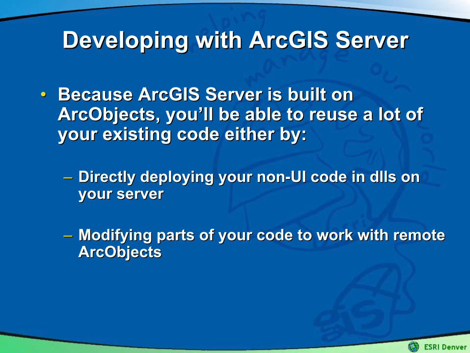
•• Because ArcGIS Server is built on Because ArcGIS Server is built on ArcObjects, youArcObjects, you’’ll be able to reuse a lot of ll be able to reuse a lot of your existing code either by:your existing code either by:
–– Directly deploying your nonDirectly deploying your non--UI code in UI code in dllsdlls on on your serveryour server
–– Modifying parts of your code to work with remote Modifying parts of your code to work with remote ArcObjectsArcObjects
Server APIServer API(remote ArcObjects)(remote ArcObjects)
Server ObjectsServer Objects
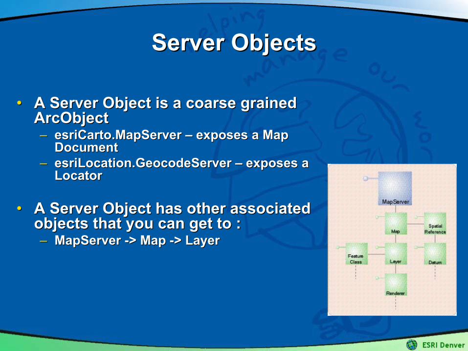
•• A Server Object is a coarse grained A Server Object is a coarse grained ArcObjectArcObject–– esriCarto.MapServeresriCarto.MapServer –– exposes a Map exposes a Map
DocumentDocument–– esriLocation.GeocodeServeresriLocation.GeocodeServer –– exposes a exposes a
LocatorLocator
•• A Server Object has other associated A Server Object has other associated objects that you can get to :objects that you can get to :–– MapServer MapServer --> Map > Map --> Layer> Layer
Server ObjectsServer Objects
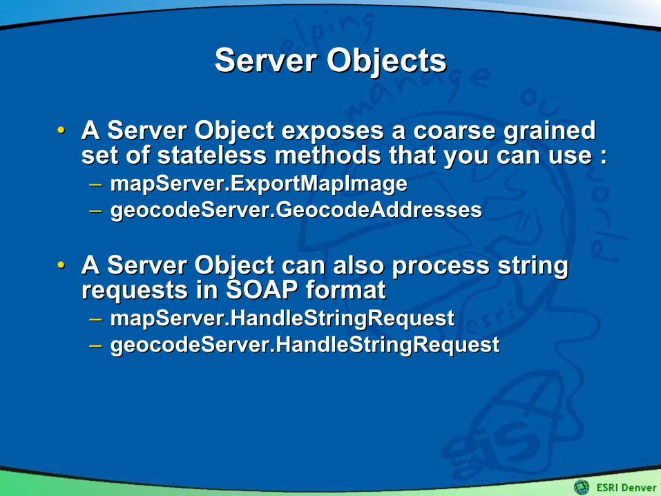
•• A Server Object exposes a coarse grained A Server Object exposes a coarse grained set of stateless methods that you can use :set of stateless methods that you can use :–– mapServer.ExportMapImagemapServer.ExportMapImage–– geocodeServer.GeocodeAddressesgeocodeServer.GeocodeAddresses
•• A Server Object can also process string A Server Object can also process string requests in SOAP formatrequests in SOAP format–– mapServer.HandleStringRequestmapServer.HandleStringRequest–– geocodeServer.HandleStringRequestgeocodeServer.HandleStringRequest
MapServer ObjectMapServer Object
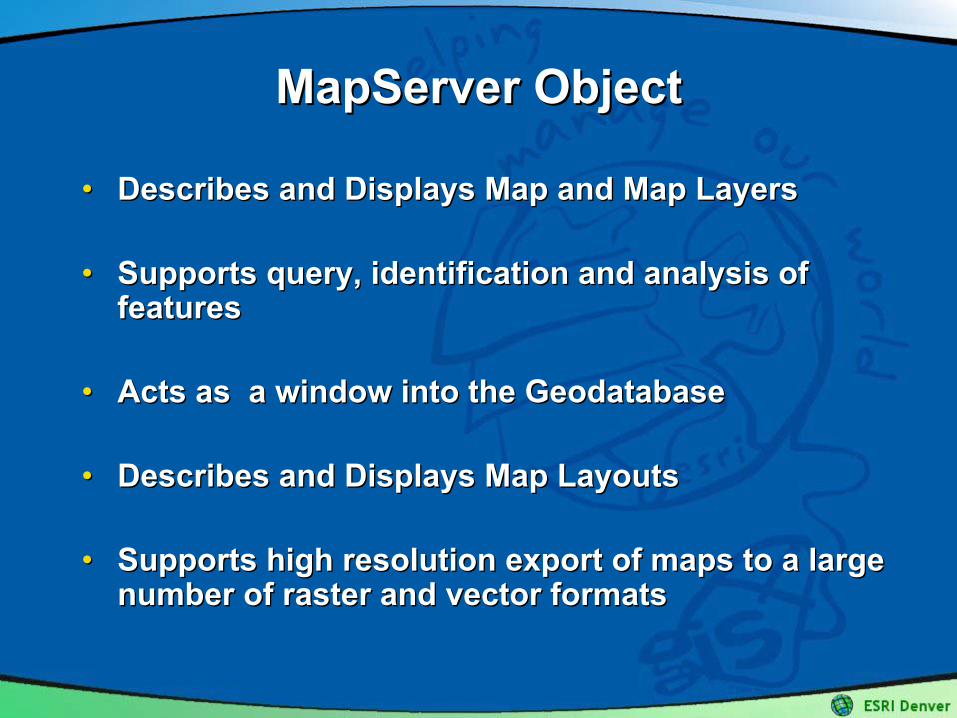
•• Describes and Displays Map and Map LayersDescribes and Displays Map and Map Layers
•• Supports query, identification and analysis of Supports query, identification and analysis of featuresfeatures
•• Acts as a window into the Acts as a window into the GeodatabaseGeodatabase
•• Describes and Displays Map LayoutsDescribes and Displays Map Layouts
•• Supports high resolution export of maps to a large Supports high resolution export of maps to a large number of raster and vector formatsnumber of raster and vector formats
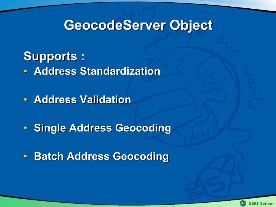
GeocodeServer ObjectGeocodeServer Object
Supports :Supports :•• Address StandardizationAddress Standardization
•• Address ValidationAddress Validation
•• Single Address Single Address GeocodingGeocoding
•• Batch Address Batch Address GeocodingGeocoding

•• Developers can build Developers can build Application Web ServicesApplication Web Servicesusing ArcGIS Server for using ArcGIS Server for egeg ::–– FindHospitalFindHospital–– CalculateTimberVolumeCalculateTimberVolume–– EstimateTravelTimeEstimateTravelTime–– ……
•• Administrators can also expose map and Administrators can also expose map and geocodinggeocoding server objects as generic server objects as generic ArcGIS ArcGIS Server System Web ServicesServer System Web Services for access across for access across the internetthe internet–– Map serviceMap service–– GeocodingGeocoding serviceservice
Web ServicesWeb Services
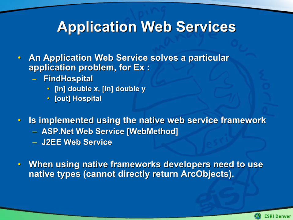
•• An Application Web Service solves a particular An Application Web Service solves a particular application problem, for Ex :application problem, for Ex :–– FindHospitalFindHospital
•• [in] double x, [in] double y[in] double x, [in] double y•• [out] Hospital[out] Hospital
•• Is implemented using the native web service framework Is implemented using the native web service framework –– ASP.Net Web Service [ASP.Net Web Service [WebMethodWebMethod]]–– J2EE Web ServiceJ2EE Web Service
•• When using native frameworks developers need to use When using native frameworks developers need to use native types (cannot directly return ArcObjects).native types (cannot directly return ArcObjects).
Application Web ServicesApplication Web Services
•• GIS System Web Services are used to expose GIS GIS System Web Services are used to expose GIS resources / server objects for: resources / server objects for: –– use across the Internet by ArcGIS Desktopuse across the Internet by ArcGIS Desktop–– Any development environment that supports WSDLAny development environment that supports WSDL
•• SOAP message handling for System Web Services SOAP message handling for System Web Services is performed by the GIS Server is performed by the GIS Server –– GIS Server includes a cross platform SOAP stack used for GIS Server includes a cross platform SOAP stack used for
these generic GIS web services.these generic GIS web services.
ArcGIS Server Web ServicesArcGIS Server Web Services