archaeology south-east ase
TRANSCRIPT

ASEArchaeology South-East
Archaeological Watching Brief Report:Royal Military Canal, Green Lane, Hythe, CT21 4DY
NGR: TR15130 34651NGR: 615130 134651
ASE Project No: 5965Site Code: RMC 13
ASE Report No: 2013044OASIS ID: archaeol6-145711
By Dylan Hopkinson MA
March 2013
Archaeological Watching Brief Report: Royal Military Canal, Green Lane, Hythe, CT21 4DY
NGR: TR15130 34651 NGR: 615130 134651
ASE Project No: 5965 Site Code: RMC 13
ASE Report No: 2013044
OASIS ID: archaeol6-145711
By Dylan Hopkinson MA
March 2013
Archaeology South-East Units 1 & 2
2 Chapel Place Portslade
East Sussex BN41 1DR
Tel: 01273 426830 Fax: 01273 420866
Email: [email protected]

Archaeology South-East WB: Royal Military Canal, Green Lane, Hythe
ASE Report No: 2013044
© Archaeology South-East UCL i
Abstract Archaeology South-East was commissioned by Jackson Civils to undertake an archaeological watching brief on the northern bank of the Royal Military Canal adjacent to number 49 Green Lane, Hythe during groundworks relating to the replacement of part of the Brockhill Stream Outfall. This involved the removal of deteriorated brickwork and erection of a new head wall for the drainage pipe, alleviating flooding from the Brockhill Stream on Green Lane. The work was undertaken between 20th February 2013 and 6th March 2013. The watching brief was conducted on the north bank of the Canal over the location of an earlier intervention when flood alleviation measures were installed connecting the Royal Military Canal with Brockhill Stream. Only backfill deposits around the conduit were encountered. Two small hand-dug test pits were also excavated, one over the culvert backfill deposits and a second that encountered either dredged canal sediments or canal bank deposits. No significant artefacts or structural features were identified during the monitoring of these works.

Archaeology South-East WB: Royal Military Canal, Green Lane, Hythe
ASE Report No: 2013044
© Archaeology South-East UCL ii
CONTENTS 1.0 Introduction 2.0 Archaeological Background 3.0 Archaeological Methodology 4.0 Results 5.0 Finds 6.0 Discussion Bibliography Acknowledgements HER Summary Form OASIS Summary Form TABLES Table 1: Quantification of site archive Table 2: List of recorded contexts Table 3: Quantification of the bulk finds FIGURES Figure 1: Site location Figure 2: Site plan showing monitored areas Figure 3: Plan of monitored groundworks Figure 4: Photographs of monitored works Figure 5: Photographs of monitored works
Archaeology South-East WB: Royal Military Canal, Green Lane, Hythe
ASE Report No: 2013044
© Archaeology South-East UCL 1
1.0 INTRODUCTION 1.1 Site background 1.1.1 Archaeology South-East (ASE) a division of The Centre for Applied
Archaeology (CAA) at the Institute of Archaeology (IoA), University College London (UCL) was commissioned by Jackson Civils to undertake an archaeological watching brief on the northern bank of the Royal Military Canal adjacent to The Garden House, Green Lane, Hythe, CT21 4DY (NGR 615130 134651; Figures 1 and 2) during construction work on the replacement of part of the Brockhill Stream Outfall. This involved the removal of deteriorated brickwork and erection of a new head wall for the drainage pipe alleviating flooding from the Brockhill Stream on Green Lane. In addition improved access to the pipe was required from the top of the bank to the outfall pipe in the form of steps.
1.2 Location and Geology 1.2.1 According to the British Geological Survey the underlying solid geology at the
site is Weald Clay Formation – Mudstone, (Sedimentary Bedrock) deposits overlain by Tidal Flat Deposits of clay and silt (source http://mapapps.bgs.ac.uk/geologyofbritain/home.html accessed 14th March 2013).
1.2.2 The site is situated directly to the south of Green Lane on the northern bank of
the Royal Military Canal, in the north of Hythe, nearly 1km from the coastline. 1.3 Planning Background 1.3.1 The Royal Military Canal is a Scheduled Ancient Monument (SM KE 396 Q, HA
1005114) and as such, Scheduled Monument consent was required before any groundworks were permitted to take place. This was granted in consultation with Peter Kendall (English Heritage) on the 14th February 2013.
1.4 Scope of the report 1.4.1 This report provides an account of the archaeological watching brief. The work
was undertaken between 20th February 2013 and 6th March 2013 by Dylan Hopkinson (Archaeologist) and Philippa Stephenson (Archaeologist).
1.4.2 The fieldwork was managed by Neil Griffin (Project Manager) and the post-
excavation analysis was managed by Jim Stevenson (Project Manager). 1.5 Aims and Objectives 1.5.1 The general objective of the archaeological work was to record, interpret and
report on any archaeological remains exposed during the groundwork to appropriate archaeological standards.
1.5.2 Specifically, attention was focused on documenting the condition of the fabric of the Royal Military Canal.
Archaeology South-East WB: Royal Military Canal, Green Lane, Hythe
ASE Report No: 2013044
© Archaeology South-East UCL 2
2.0 ARCHAEOLOGICAL BACKGROUND 2.1 The site lies within the historic settlement of Hythe close to Scanlons Bridge
Road. Hythe is one of the defensive Cinque Ports and is considered to have been a medieval port, which developed as the early medieval port towards the west of Hythe declined. Hythe is well-recorded in historic documents but there has been little archaeological work within the town to complement this data. The site also lies on the northern bank of the Scheduled Monument of the Royal Military Canal (Scheduled Monument No: Kent SMR No: SM KE 396 Q, HA 1005114).
2.2 The Royal Military Canal was constructed to counter a French invasion during
the Napoleonic Wars. Designed by Lt-Col. John Brown, Commandant of the Royal Staff Corps, it was essentially a wet moat and was intended to isolate the vulnerable low-lying marshland. It was built between 1804 and 1809 and originally comprised an 18m wide and 2.7m deep canal with a rampart on the inland side on which the works were conducted, with a military road beyond. Behind the road was a wide ditch for intercepting the drainage from streams draining the uplands. Its effectiveness was never put to the test, although not all authorities at the time were convinced that it would seriously hamper an army that had previously crossed the Rhine and Danube. Excavations by Archaeology South-East along the Canal at Ham Street and Appledore (Greatorex 1995; ASE 2001) revealed the rampart to be 10m wide and 0.5m high, with evidence of a fire-step (allowing the defending soldier to step up to fire over the rampart) in the rear. The military road lay 16m behind the rampart and comprised 0.3m of compacted beach shingle. The Canal was constructed in offset sections, with integral gun positions, allowing flanking fire to be directed down the Canal to disrupt enemy crossings (Greatorex 1995). It was also constructed directly at the base of the surrounding uplands, allowing defending forces to use the advantage of height to dominate the approaches to the Canal – the marshland is noticeably devoid of trees, hedgerows and other cover, and many of the roads tend to be constructed on old embankments, increasing the vulnerability of anyone using them.
2.3 In addition the Canal also has a second drain on the seaward side, and was
defended at intervals by cannon positioned on raised banks. 2.4 The Canal was also used as a means of transporting troops and supplies
quickly by barge. The Canal was never used as intended, and in 1810 was opened up to general navigation and tolls were collected for its use to help fund its maintenance. After a century of dwindling use, hastened by the onset of the railways, the last toll was collected at Iden Lock in 1909.

Archaeology South-East WB: Royal Military Canal, Green Lane, Hythe
ASE Report No: 2013044
© Archaeology South-East UCL 3
3.0 ARCHAEOLOGICAL METHODOLOGY 3.1 Methodology 3.1.1 All archaeological works were carried out in accordance with the relevant
Standards and Guidance of the Institute for Archaeologists (IFA 2008). 3.1.2 Two exploratory test pits were hand excavated through the deposits around
the culvert. One measuring 1.40m x 1.80m and 1.10m deep was excavated directly to the west of the culvert (trench 1); the second test pit measured 1.60m x 1.40m and was 0.90m deep (trench 2) (Figures 2 and 3).
3.1.3 The test pits were hand excavated in advance of the machine excavated
groundworks. 3.1.4 The groundworks included mechanical excavations that were conducted using
a large toothed bucket directly over the existing culvert outflow (Figures 2 and 3). A coffer dam was erected prior to archaeological monitoring in order to be able to control the water level around the pipe outlet during the works.
3.1.5 The bank of the canal was excavated back to expose an area 4.00m back from
the canal end of the outfall culvert pipe and 8.00m wide parallel to the canal. The canal bank deposits were stepped to avoid standing sections that might collapse.
3.1.6 The first step was 1.25m wide on either side of the outfall pipe and was
excavated to a depth of 0.15m below the invert height of the culvert; this was below the canal water level at the time of the works and could only be intermittently observed when the coffer dam was pumped out. Two further steps were cut on each side of the pipe; each step was roughly 1.00m wide and 1.00m deep.
3.1.7 All test pitting and groundworks were monitored by an archaeologist to assess
the level of archaeological survival and to record the fabric of the Canal. 3.1.8 All deposits were recorded using ASE standard recording sheets, with colours
recorded by visual inspection. 3.1.9 Section drawings of the excavated profiles were drawn on plastic drafting film
at a scale of 1:10 where possible, however health and safety concerns relating to working near machines next to water prohibited all exposed sections from being drawn.
3.1.10 A full photographic record was made recording all features and contexts and
special care was taken to ensure wide coverage of those sections not able to be drawn.

Archaeology South-East WB: Royal Military Canal, Green Lane, Hythe
ASE Report No: 2013044
© Archaeology South-East UCL 4
3.2 Site archive 3.2.1 The site archive is currently held at the offices of ASE and will be offered to a
local museum in due course. The contents of the archive are tabulated below (Table 1).
Number of Context Sheets 7 Photographs 37 Watching Brief record sheets and notes 3 No. of files/paper record 1
Table 1: Quantification of site archive

Archaeology South-East WB: Royal Military Canal, Green Lane, Hythe
ASE Report No: 2013044
© Archaeology South-East UCL 5
4.0 RESULTS 4.1 No archaeological features or artefacts were encountered during the watching
brief. However, a total of seven contexts were identified and these are tabulated below.
Context
Type
Description
Max. Length m
Max. Width m
Deposit Thickness m
001 Layer Topsoil (test pit 1) Tr. Tr. 0.28 002 Layer Subsoil Tr. Tr. 0.22 003 Deposit Made ground (canal bank) or
upcast dredged deposit from canal
Tr. Tr. 0.40
004 Deposit Made ground (canal bank) or upcast dredged deposit from canal
Tr. Tr. 0.30
005 Layer Topsoil (test pit 2) Tr. Tr. 0.20 006 Fill Fill of original culvert
construction Tr. Tr. > 2.20
007 Layer Natural tidal flat deposits Tr. Tr.
Table 2: List of recorded contexts 4.2 Natural 4.2.1 The lowest deposit identified was firm bluish grey clay [007] identified in the
lowest exposed levels of groundwork excavation by machine. 4.2.2 This was generally a sterile deposit however a piece of CBM was observed in
the exposed section but could not be inspected due to health and safety concerns. It is possible that the artefact had been pushed into the section by the action of the bucket or by disturbance of the deposit during installation of the culvert outfall pipe.
4.2.3 Overall, the context had the appearance of anaerobic water deposited silts and
could either be the natural Tidal Flat Deposits of clay and silt discussed above (see 1.2.1), or be silts deposited within the canal. The blue grey colour and general sterility suggest a natural origin.
4.3 Test pit 1 4.3.1 No natural deposit was identified in test pit 1, the lowest strata observed being
a moderately loose dark greyish brown silty clay with mottles of grey [004] (Figure 4). Included within the clay were moderate to frequent quantities of small pebbles. The deposit was interpreted as either made ground of the canal bank or upcast deposits from the dredging of the canal. The deposit was identified at a depth of 0.80m within test pit 1 and was 0.30m thick continuing below the depth of the test pit.
4.3.2 Overlying the pebbled clay layer was a deposit of mid greyish brown sandy silt
with occasional small patches of yellowy brown sand and yellowy brown clay [003]. This layer which was 0.40m thick was also interpreted as upcast dredged sediments or possible made ground of the canal bank. One small
Archaeology South-East WB: Royal Military Canal, Green Lane, Hythe
ASE Report No: 2013044
© Archaeology South-East UCL 6
bodysherd of refined white earthenware of late 19th- to early 20th- century date was recovered from this deposit along with bottle glass and an improvised lead weight (RF <1>).
4.3.3 A 0.22m thick layer of dark grey sandy silt subsoil [002] overlay the sequence
and pottery dated from between 1875 to 1925 was recovered from the layer, along with two fragments of undiagnostic metalwork.
4.3.4 A 0.28m thick dark grey topsoil layer [001] sealed the stratigraphic sequence in
test pit 1. 4.4 Test pit 2 4.4.1 The lowest deposit identified in test pit 2 was a mixed deposit of dark greyish
brown sandy silt [006] containing moderate quantities of pebbles. This deposit was disturbed material interpreted as the infill from the original construction of the culvert and flood alleviation measures. Late post-medieval glass, pottery and metal were observed but not retained from this deposit.
4.4.2 Overlying the culvert construction backfill was a 0.20m thick layer of topsoil
[005]. 4.5 Groundworks 4.5.1 The excavation of the groundworks by machine over the culvert pipe reflected
the findings of the trial trenches. Overall the deposits disturbed were the backfill deposits from the construction of the culvert (Figure 5).
4.5.2 The lowest deposit was the bluish grey clay discussed above (see 4.2) [007].
The culvert outfall pipe was directly surrounded by this deposit suggesting that it was laid directly onto the clay during its original installation.
4.5.3 Overlying clay [007] was a deposit of mid brown sandy silt with moderate
quantities of pebbles which was the same deposit as the lowest identified layer in test pit 2 [006]; this layer was over 2.20m thick at the depth of the culvert pipe.
4.5.4 Overlying the culvert backfill deposit was a layer of loose dark brown sandy silt
topsoil up to 0.30m thick [001].

Archaeology South-East WB: Royal Military Canal, Green Lane, Hythe
ASE Report No: 2013044
© Archaeology South-East UCL 7
5.0 FINDS 5.1 A small assemblage of finds (Table 3) was recovered during the archaeological
watching brief at the Royal Military Canal, Hythe. Finds were washed and dried or, in the case of metalwork, air dried. They were quantified by count and weight, and bagged by material and context. In addition, a weight (wt 462g) was assigned a unique registered finds number and recorded in detail on an individual pro forma sheet for archive (RF <1>). None of the metalwork requires x-ray.
Context Pot Wt (g) Fe Wt (g) Glass Wt (g)
[002] 2 364 2 598
[003] 1 6 4 62
Total 3 370 2 598 4 62
Table 3: Quantification of the bulk finds 5.2 The Pottery by Luke Barber 5.2.1 The watching brief recovered a small assemblage of pottery from the site.
Context [002] produced a near complete plain preserve jar with string groove below the rim. The vessel, in refined white earthenware, measures 87mm in diameter by 94mm tall and is complete except for a small irregular hole punched through the centre of its base (possibly to enable its use as a flower pot). The other sherd from [002] is a 6g fragment from a blue transfer-printed cup with floral pattern. Both vessels suggest a date of c. 1875 to 1925.
5.2.2 Context [003] produced one small bodysherd of slightly stained refined white
earthenware, possibly from another preserve jar. A late 19th- to early 20th- century date is likely.
5.3 The Glass by Elke Raemen
5.3.1 A small assemblage of four fragments was recovered from [003]. Included are
two clear glass fragments from two different cylindrical bottles, a fragment from a green glass mineral water bottle and a complete aqua stopper, probably from a sauce bottle. The assemblage dates to the late 19th to early 20th century.
5.4 The Metalwork by Elke Raemen 5.4.1 Two pieces of ironwork were recovered from [002]. Included is a heavy duty U-
shaped beam fragment (W 70.85mm), originating perhaps from building construction or from a tram rail. The same context also contained a strip fragment (W 65mm, 3mm thick).
5.5 The Registered Finds by Elke Raemen 5.5.1 An improvised lead weight (RF <1>; wt 462g) was recovered from [003]. The
piece is fashioned from a crude folded strip of lead with suspension slits at the top.

Archaeology South-East WB: Royal Military Canal, Green Lane, Hythe
ASE Report No: 2013044
© Archaeology South-East UCL 8
6.0 DISCUSSION 6.1 No significant archaeological artefacts or features were recorded at the site
during the watching brief. 6.2 The deposits encountered were from the construction backfill of the culvert
pipe that breeches the bank of the Royal Military Canal, or from the dredging of the canal or the construction of the canal bank itself.
6.3 All deep excavations were restricted to the previously disturbed construction
cut for the culvert, with the exception of context [007], blue grey clay that is likely to have been original natural Tidal Flat Deposits.
6.4 The initial installation of the culvert outfall pipe involved excavation down to the
tidal clay [007] with the pipe subsequently laid directly on the exposed clay without any imported buffer deposit.
Archaeology South-East WB: Royal Military Canal, Green Lane, Hythe
ASE Report No: 2013044
© Archaeology South-East UCL 9
BIBLIOGRAPHY ASE, 2001. An archaeological Watching Brief at Appledore Bridge, Appledore, Kent. Unpublished Archaeology South-East Report 1346. Greatorex, C., 1995. An archaeological Investigation of the Royal Military Canal. Near Ham Street, Archaeologia Cantiana 115. IFA 2008 - Standard and Guidance: For archaeological field evaluation, Institute for Archaeologists; Reading Online Resources British Geological Survey: Geology of Britain Viewer http://mapapps.bgs.ac.uk/geologyofbritain/home.html accessed 14th March 2013. Acknowledgements ASE would like to thank Jackson Civils for commissioning the work and Peter Kendall of English Heritage for his help and guidance throughout.
Archaeology South-East WB: Royal Military Canal, Green Lane, Hythe
ASE Report No: 2013044
© Archaeology South-East UCL 10
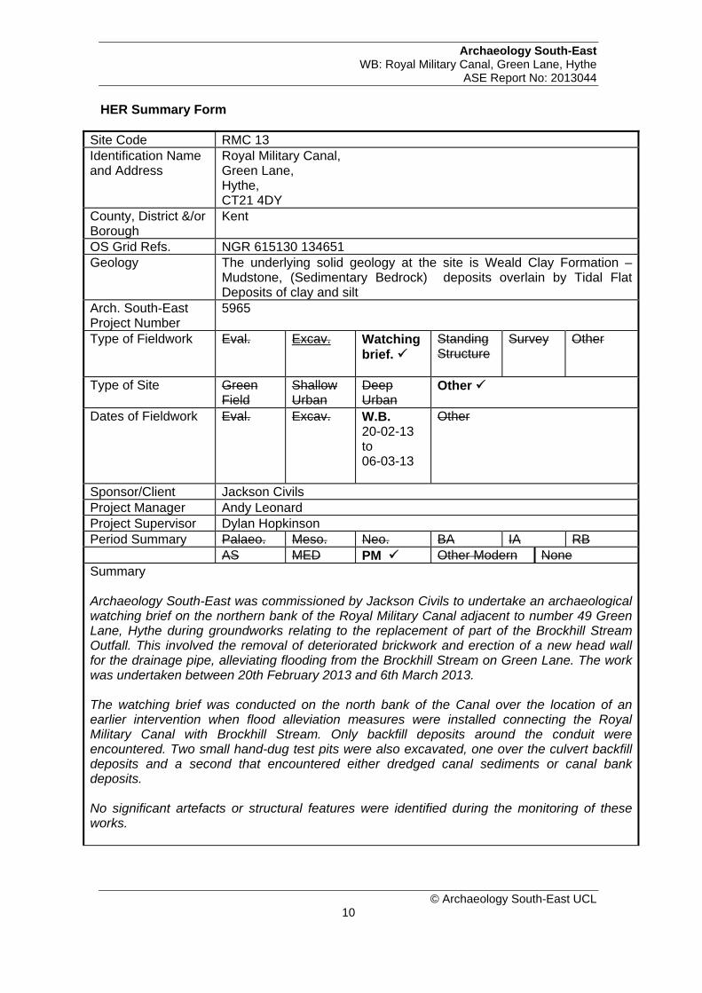
HER Summary Form
Site Code RMC 13 Identification Name and Address
Royal Military Canal, Green Lane, Hythe, CT21 4DY
County, District &/or Borough
Kent
OS Grid Refs. NGR 615130 134651 Geology The underlying solid geology at the site is Weald Clay Formation –
Mudstone, (Sedimentary Bedrock) deposits overlain by Tidal Flat Deposits of clay and silt
Arch. South-East Project Number
5965
Type of Fieldwork Eval. Excav. Watching brief.
Standing Structure
Survey Other
Type of Site Green Field
Shallow Urban
Deep Urban
Other
Dates of Fieldwork Eval.
Excav. W.B. 20-02-13 to 06-03-13
Other
Sponsor/Client Jackson Civils Project Manager Andy Leonard Project Supervisor Dylan Hopkinson Period Summary Palaeo. Meso. Neo. BA IA RB AS MED PM Other Modern None Summary Archaeology South-East was commissioned by Jackson Civils to undertake an archaeological watching brief on the northern bank of the Royal Military Canal adjacent to number 49 Green Lane, Hythe during groundworks relating to the replacement of part of the Brockhill Stream Outfall. This involved the removal of deteriorated brickwork and erection of a new head wall for the drainage pipe, alleviating flooding from the Brockhill Stream on Green Lane. The work was undertaken between 20th February 2013 and 6th March 2013. The watching brief was conducted on the north bank of the Canal over the location of an earlier intervention when flood alleviation measures were installed connecting the Royal Military Canal with Brockhill Stream. Only backfill deposits around the conduit were encountered. Two small hand-dug test pits were also excavated, one over the culvert backfill deposits and a second that encountered either dredged canal sediments or canal bank deposits. No significant artefacts or structural features were identified during the monitoring of these works.
Archaeology South-East WB: Royal Military Canal, Green Lane, Hythe
ASE Report No: 2013044
© Archaeology South-East UCL 11
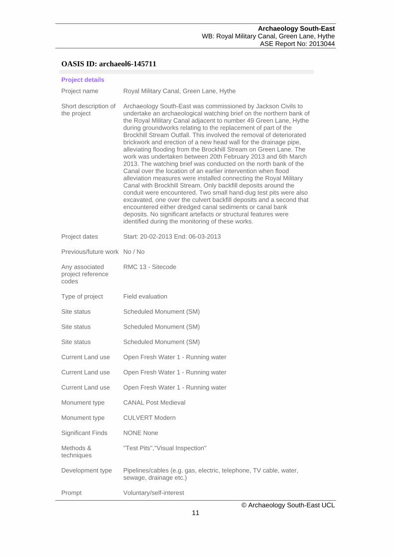
OASIS ID: archaeol6-145711
Project details
Project name Royal Military Canal, Green Lane, Hythe
Short description of the project
Archaeology South-East was commissioned by Jackson Civils to undertake an archaeological watching brief on the northern bank of the Royal Military Canal adjacent to number 49 Green Lane, Hythe during groundworks relating to the replacement of part of the Brockhill Stream Outfall. This involved the removal of deteriorated brickwork and erection of a new head wall for the drainage pipe, alleviating flooding from the Brockhill Stream on Green Lane. The work was undertaken between 20th February 2013 and 6th March 2013. The watching brief was conducted on the north bank of the Canal over the location of an earlier intervention when flood alleviation measures were installed connecting the Royal Military Canal with Brockhill Stream. Only backfill deposits around the conduit were encountered. Two small hand-dug test pits were also excavated, one over the culvert backfill deposits and a second that encountered either dredged canal sediments or canal bank deposits. No significant artefacts or structural features were identified during the monitoring of these works.
Project dates Start: 20-02-2013 End: 06-03-2013
Previous/future work No / No
Any associated project reference codes
RMC 13 - Sitecode
Type of project Field evaluation
Site status Scheduled Monument (SM)
Site status Scheduled Monument (SM)
Site status Scheduled Monument (SM)
Current Land use Open Fresh Water 1 - Running water
Current Land use Open Fresh Water 1 - Running water
Current Land use Open Fresh Water 1 - Running water
Monument type CANAL Post Medieval
Monument type CULVERT Modern
Significant Finds NONE None
Methods & techniques
''Test Pits'',''Visual Inspection''
Development type Pipelines/cables (e.g. gas, electric, telephone, TV cable, water, sewage, drainage etc.)
Prompt Voluntary/self-interest

Archaeology South-East WB: Royal Military Canal, Green Lane, Hythe
ASE Report No: 2013044
© Archaeology South-East UCL 12
Position in the planning process
Not known / Not recorded
Project location
Country England
Site location KENT SHEPWAY HYTHE Royal Military Canal, Hythe
Postcode CT21 4DY
Study area 32.00 Square metres
Site coordinates 0 0 615130 00 00 N 134651 00 00 E Point
Lat/Long Datum Unknown
Height OD / Depth Min: 0m Max: 0m
Project creators
Name of Organisation
Archaeology South-East
Project brief originator
Kent County Council
Project design originator
Kent County Council Heritage Conservation Group
Project director/manager
Andy Leonard/Jim Stevenson
Project supervisor Philipa Stevenson
Project supervisor Dylan Hopkinson
Type of sponsor/funding body
Civil Engineers
Name of sponsor/funding body
Jackson Civils
Project archives
Physical Archive recipient
Local Museum
Physical Contents ''Ceramics'',''Glass'',''Metal''
Physical Archive notes
Very little material
Digital Archive recipient
Local Museum
Digital Contents ''Stratigraphic''

Archaeology South-East WB: Royal Military Canal, Green Lane, Hythe
ASE Report No: 2013044
© Archaeology South-East UCL 13
Digital Media available
''Images raster / digital photography'',''Text''
Paper Archive recipient
Local Museum
Paper Contents ''Stratigraphic'',''Survey''
Paper Media available
''Context sheet'',''Photograph''
Project bibliography 1
Publication type
Grey literature (unpublished document/manuscript)
Title Archaeological Watching Brief Report: Royal Military Canal, Green Lane, Hythe, CT21 4DY
Author(s)/Editor(s) Hopkinson, D.
Other bibliographic details
ASE Report No: 2013044
Date 2013
Issuer or publisher Archaeology South-East
Place of issue or publication
Portslade, Brighton
Description 15 page A4 pamphlet, bound with 3 colour illustrations
Entered by Dylan Hopkinson ([email protected])
Entered on 19 March 2013

61
40
00
61
50
00
61
60
00
61
70
00
132000
133000
134000
135000
136000
137000
138000
0 1km
Reproduced from the Ordnance Survey's 1:25000 map of 1997 with permission of the Controller of Her Majesty's Stationary Office.
Crown Copyright. Licence No. AL 503 10 A
N
Archaeology South-East©
Report Ref: 2013044Project Ref: 5965
Drawn by: DJH
Royal Military Canal, Green Lane, Hythe - Watching BriefFig. 1
Site locationMarch 2013
The Site


Trial Pit 1 : Section.
View of monitored groundworks looking north.
Fig. 4Project Ref: 5965 March 2013
Photographs of monitored worksDrawn by: DJH
© Archaeology South-East
Report Ref: 2013044
Royal Military Canal, Green Lane, Hythe - Watching Brief

East facing section of monitored area during excavation.
Blue grey clay (007) underlying culvert outfall pipe.
Fig. 5Project Ref: 5965 March 2013
Photographs of monitored worksDrawn by: DJH
© Archaeology South-East
Report Ref: 2013044
Royal Military Canal, Green Lane, Hythe - Watching Brief

Head OfficeUnits 1 & 22 Chapel PlacePortsladeEast Sussex BN41 1DRTel: +44(0)1273 426830 Fax:+44(0)1273 420866email: [email protected]: www.archaeologyse.co.uk
The contracts division of the Centre for Applied Archaeology, University College LondonArchaeology South-Eastc
London OfficeCentre for Applied Archaeology
Institute of ArchaeologyUniversity College London
31-34 Gordon Square, London, WC1 0PYTel: +44(0)20 7679 4778 Fax:+44(0)20 7383 2572Web: www.ucl.ac.uk/caa