best practices for designing effective map services€¦ · maintain cache as data gets updated ....
TRANSCRIPT

Best Practices for Designing Effective Map Services
Tanu Hoque

What’s in this session
• Planning and design strategies • Publishing using ArcMap • Consuming the services in a web map or application • Performance tips
Mashup
Mapping
Please! Turn OFF cell phones

Demo #1 The first attempt

Demo recap - Publishing wizard and analyzer

Organize data into logical groupings
Basemaps Geographic frame of reference Contain static vector
and raster data Reusable in multiple applications
Operational Layers Show a focused item of interest Support functionality
of the application Displayed on top of base map

Three options for displaying map services
Logical groups in WebMap Options to display map service
Basemap layers As tiled/cached map service - Pre-drawn map tiles - Industry standard for basemaps (e.g. ArcGIS Online,
Google, Yahoo, Bing Map etc.)
Operation layers As dynamic map service - Server retrieves data, draws an image, sends image to
client As Feature Layer (aka client side graphics) - Drawn on the client side - Server sends features with geometries and attributes
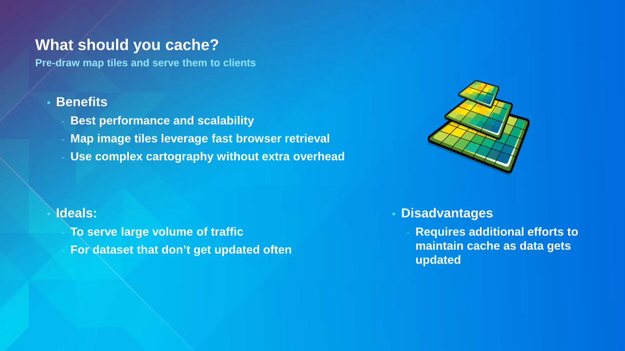
What should you cache? Pre-draw map tiles and serve them to clients
• Benefits - Best performance and scalability - Map image tiles leverage fast browser retrieval - Use complex cartography without extra overhead
• Ideals: - To serve large volume of traffic - For dataset that don’t get updated often
• Disadvantages - Requires additional efforts to
maintain cache as data gets updated

What should you use dynamic map service for? Pre-draw map tiles and serve them to clients
• Benefits - No additional overheads upfront
- and when data gets updated
• Ideals: - For real-time or frequently changing data - To serve medium volume of traffic
• Disadvantages - Additional expense to read data
and generate images for each request

Feature layer / Client side graphics Features drawn in browser
• Benefits - Server off loads works to the client app
• Ideals: - Interactive operational layers for mashups - Query or geoprocessing results - Layers that need to be thematically
symbolized on the fly - Web editing: Feature Services
• Disadvantages - Not suitable for larger dataset
• Source Service types: - Map services - Feature services

Demo #2 Making basemaps

JavaScript API code to draw dynamic images off a TiledMapService
var url = "http://{machine}/arcgis/rest/services/myTiledMapService/MapServer"; //Layer#1 – a tiled map service layer var layer1 = new ArcGISTiledMapServiceLayer (url, { displayLevels: [0, 1, 2, 3]}); //Layer#2 - same tiled map service as a dynamic map service layer var layer2 = new ArcGISDynamicMapServiceLayer(url); layer2.setMinScale(1155581);

Demo recap - Created two basemaps - Dynamic images from titled map service

Demo #3 - Creating map service for operation layer - Thematic mapping and large data visualization

Dynamic layers New at 10.1
• Simple updates to the map service - Remove layers or reorder layers
• Thematic mapping
- Updates to renderers - Change data sources – including joins
• Adding content to the map service
- Add data from registered workspaces - Including query layers
• per-request changes to the map - Server side change - Stateless
• Optional capability of map services

SQL Statement to aggregate and show results per county
SELECT c.objectid, c.shape, a.total FROM mysde.map.COUNTIES AS c INNER JOIN (SELECT FIPS, COUNT(*) AS total FROM mysde.map.TORNADOES GROUP BY cf) AS a ON c.FIPS = a.FIPS

Demo recap - Create map service for operation layers - Fixed more analyzer warning
- Migrated to Enterprise Geodatabase - Converted XY Event layer to a table with spatial column
- Query Layer - Thematic mapping (aka DynamicLayer capability) - Static Layer/Table ID

Demo #4 Put map services in use in a web application

Demo recap - Use the map service in a web application
- Thematic mapping - Update the table with new records - Added new layers - Perform analysis using map server query
capabilities

Performance Tips Mapping
• Cache
• Prefer Annotation over dynamic labeling
• Avoid on-the-fly projection
• Scale dependent layer visibility

Performance Tips Geodatabase
• Use File Geodatabase over Enterprise Geodatabase - Use local copy on GIS server over network share
• For joins
- Keep both target and destination tables in the same database
• Enterprise Geodatabase tips
- Tune e.g. update statistics - Use direct connection

Index
• Update Spatial Index
• Have indexes on Field(s)
- Used in attribute query - Used as ‘primary’ or ‘foreign’ fields in a join
• Note:
- Indexes are ignored when a field is used in a SQL methods etc. - e.g. WhereClause is “month(date) = 10”

Query tips
• Avoid requesting all attributes unless you have to

Feature and layer level security
• Use Server Object Interceptor (SOI)
• Can be used for other purposes e.g. watermarking etc.

Automating publishing map services with Python
• Automate publish, start, stop map services - http://tinyurl.com/nnz4obq - http://tinyurl.com/opp2glg - http://tinyurl.com/nqj5h43
• The Server Admin Toolkit
- http://tinyurl.com/78hg32c

Review
• Analyzed the map document
• Split map into multiple maps for basemap and operation layers
• Replaced XY Event layer with Enterprise Geodatabase
- ... and update data taking advantages of database triggers
• Strategies to show large data efficiently
- Use Hex Bins or County polygons to show aggregated data at smaller scale

Review
• Used dynamicLayers capability for - Thematic mapping and - Adding new layers
• MapServer query supports
- Page thru results (and get the top features) - Summary statistics

Thank you…
• Please fill out the session survey in your mobile app • Select “Best Practices for Designing Effective Map
Services” in the Mobile App - Use the Search Feature to quickly find this title
• Click “Technical Workshop Survey” • Answer a few short questions and enter any comments
