brief summary of existing research discussion of...
TRANSCRIPT

• Generally well educated and high incomes in Collin County
• 7% of the population is below poverty level
• Project Background • Brief Summary of Existing Research • Discussion of Opportunities and Tradeoffs • Next Steps

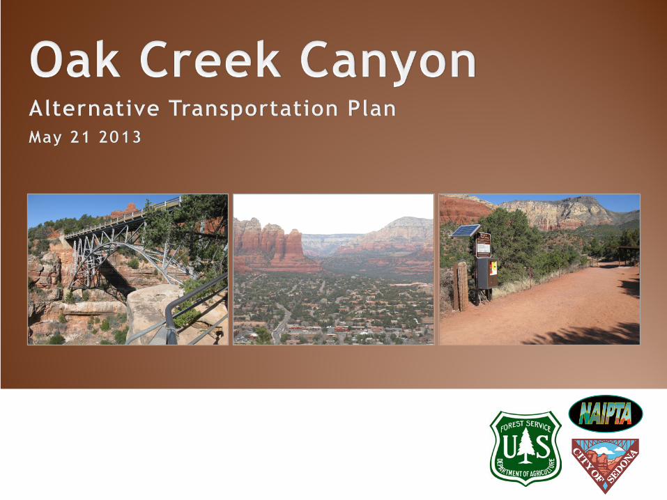
The purpose of this effort is to investigate strategies to reduce recreation-related
vehicle congestion in the 179/89A corridor and increase visitor access to recreation
opportunities

• Reduce vehicular traffic congestion during peak periods • Ensure the preservation of natural resources along the roadway • Ensure safety of those living, working or recreating within Oak Creek Canyon

Project Partners
Stakeholders Community Members •ADOT
•Business Leaders •Coconino County •Sedona Chamber of Commerce •Sedona Fire District •Sedona Lodging Council •Slide Rock State Park •Verde Lynx •Village of Oak Creek •Yavapai County
Consultant Team Nelson\Nygaard & OTAK

Project Kick-Off Stakeholder Meetings Existing Conditions and Services Community Meeting
July 2013
Aug 2013
Sept 2013
Jan 2013
Feb 2013
May 2013
June 2013 Development of Alternatives Evaluation of Alternatives and Surveys Financial Strategies
Public Input
Draft and Final Report

The study area is Highway 89A between Oak Creek Vista and Uptown Sedona. However, potential alternatives may be designed to serve beyond these boundaries.


• Existing Reports and Planning Documents • Stakeholder Interviews • Traffic and Parking Data • Review of Peer Transportation Services

Congestion [in the canyon] has only gotten worse in the past 10-15 years.
Backups leading into Uptown can last between 1 ½ - 2 hours
Congestion around Slide Rock is mainly caused by people searching (or waiting) for parking
Locals avoid Oak Creek Canyon and instead take I-17 on peak visitor days
Backups into town are caused by traffic signals in Uptown. Can backup all the way to Midgley Bridge
Traffic isn’t really a problem in Uptown – it only happens sometimes – late in the afternoon (3:00 to 5:30) and no problems most times.
Visitors say they are frustrated when they try to return to Sedona during busy traffic periods

0
100
200
300
400
500
600
700
800
900
Hourly Bi-directional Traffic Volumes (June 2011)
Thursday Saturday Sunday
Average Annual Daily Traffic
2011 5,689
2010 5,700
2009 5,800
2008 6,000
2007 5,700
Count Location
Uptown Sedona

0
200
400
600
800
1000
1200
1400
1600
1800
Jan Feb Mar Apr May June July Aug Sept Oct Nov Dec
Bootlegger Campground
Halfway Picnic Area
Encinoso Picnic Area
Indian Gardens
Midgley Bridge
Only includes Red Rock Pass sales at shown locations

42% 58%
On-Street Off-Street
43% 57%
Managed Spaces
Unmanaged Spaces


Muir Woods National Monument Marin County, CA
Zion National Park Springdale, UT
Maroon Bells National Forest Aspen, CO
Grand Teton National Park Jackson, WY

Muir Woods Zion National
Park Maroon Bells Arches National
Park Grand Teton National Park
Annual Park Visitors 900,000 3,000,000+ 250,000 1,000,000+ 2,700,000+
Annual Shuttle Ridership
54,154 2,800,000+ 70,000+ 250,000+ (estimated)
~1-2% of peak period visitors
Fare $3.00 Adult (round trip) FREE $6.00 Adult FREE (anticipated) $14.00 per day

• A reasonable fare is not a barrier to shuttle use • Importance of sufficient parking facilities (such as a Park and Ride) or significant transit service (such as a Ferry Terminal) at shuttle origin •Completely restricting private vehicles is the most effective way to reduce detrimental effects of high visitation and the need for additional in-park parking facilities •Even paid mandatory shuttles will not reduce park visitation, especially if shuttle fares are comparable or cheaper than vehicular access fees • Dead-end” parks (one road in and out) are particularly conducive to successful shuttle systems.


• Draft Existing Conditions Report (including community feedback)
• Development of Alternatives • Public Open House (July) • Draft and Final Report (September)

Joey Goldman (415) 284-1544
[email protected] Sara Dechter 928-527-3413
Paul Supawanich (415) 284-1544