by: genie azad, cfm carson water subconservancy district watershed program manager watershed...
TRANSCRIPT
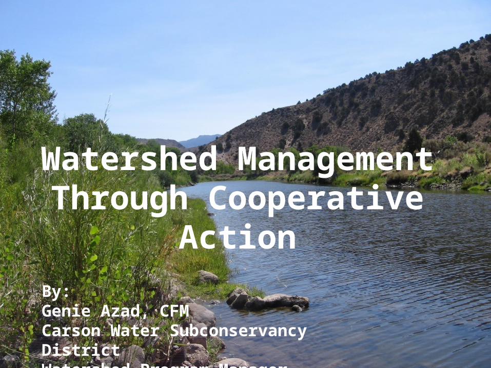
By:Genie Azad, CFMCarson Water Subconservancy DistrictWatershed Program Manager
Watershed Management Through Cooperative Action

Very Glad to Be Here!


Great Basin Watershed
• Watersheds include:• Lake Tahoe and Truckee
River Watersheds• Carson & Walker River
Watershed• No rivers drain to ocean• Where I Live!
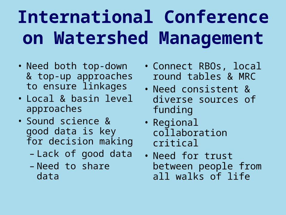
International Conference on Watershed Management
• Connect RBOs, local round tables & MRC
• Need consistent & diverse sources of funding
• Regional collaboration critical
• Need for trust between people from all walks of life
• Need both top-down & top-up approaches to ensure linkages
• Local & basin level approaches
• Sound science & good data is key for decision making– Lack of good data– Need to share data
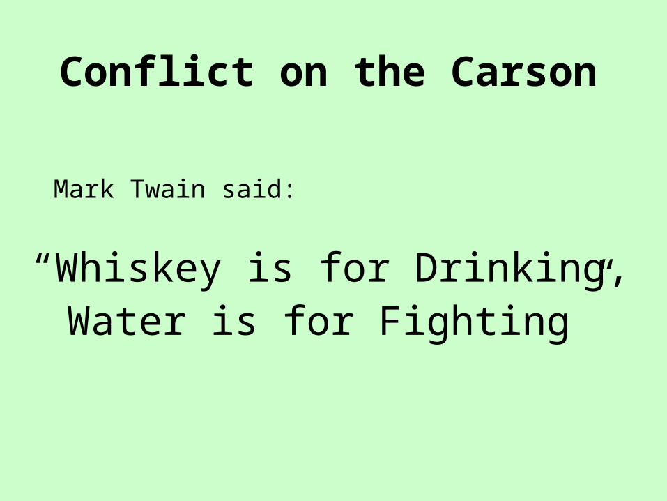
Conflict on the Carson
Mark Twain said:
“Whiskey is for Drinking,Water is for Fighting”
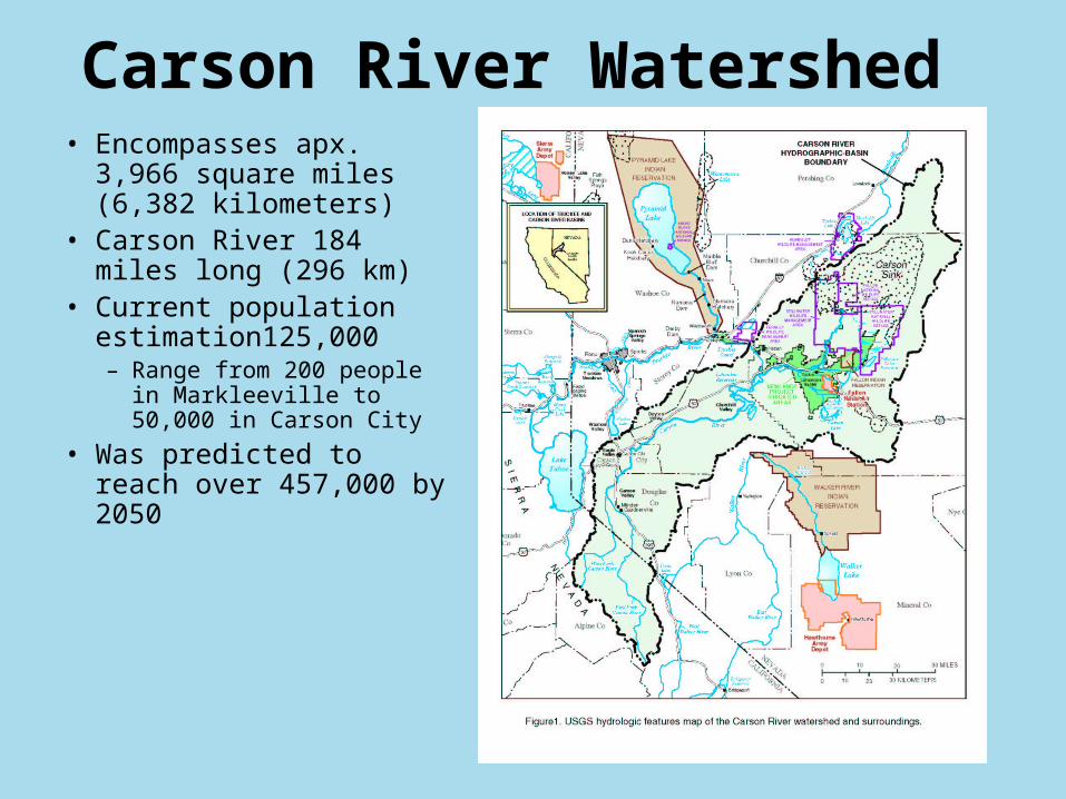
Carson River Watershed• Encompasses apx. 3,966
square miles (6,382 kilometers)
• Carson River 184 miles long (296 km)
• Current population estimation125,000– Range from 200 people in
Markleeville to 50,000 in Carson City
• Was predicted to reach over 457,000 by 2050

Structure of CWSDStructure of CWSD• 14 Board Members representing 6
counties and 2 states• Funding
– Property Tax ($0.3/$100)– Grants (State, Fed., & others)
• Staffing– 2 Full Time, 3 Part Time
• Staff includes specialists in areas of:– Water quantity,quality & conservation– Aquatic ecology– Floodplain management– Stakeholder facilitation– Public outreach and communication– Budget & grant administrationNo Regulatory Authority
Regional Cooperation
Fun Board!

Conservation DistrictsCarson ValleyDayton ValleyLahontanAlpine
Western NV RC&D
Carson River Coalition
Alpine Watershed Group
Clear Creek Watershed Council
Private Citizens
HDR
Landowners
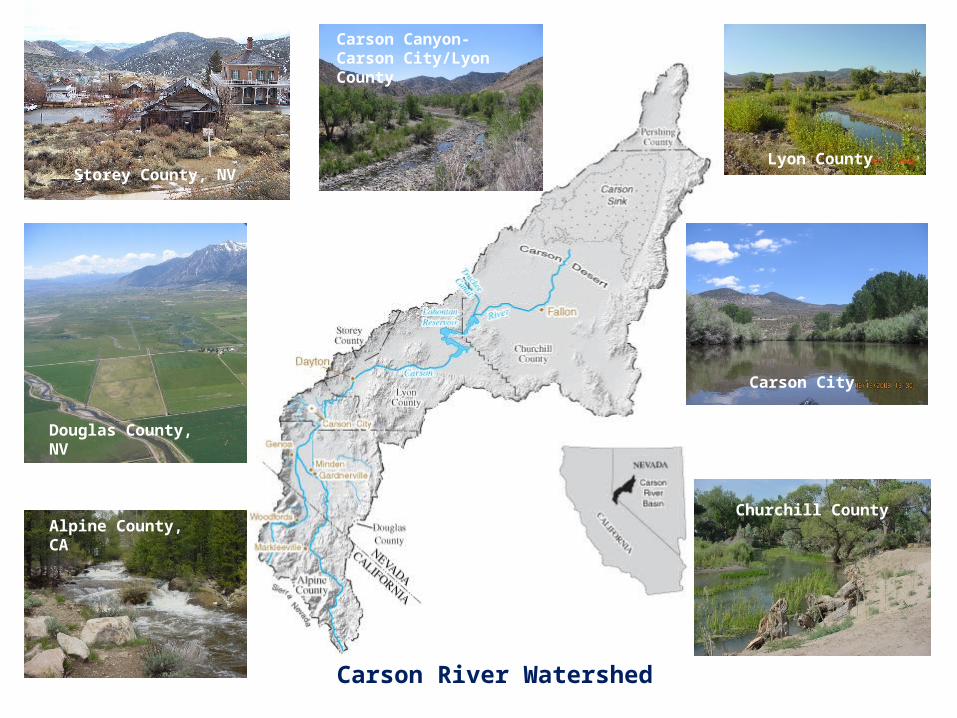
Carson River Watershed
Douglas County, NV
Carson Canyon- Carson City/Lyon County
Lyon County
Alpine County, CA
Carson City
Churchill County
Storey County, NV
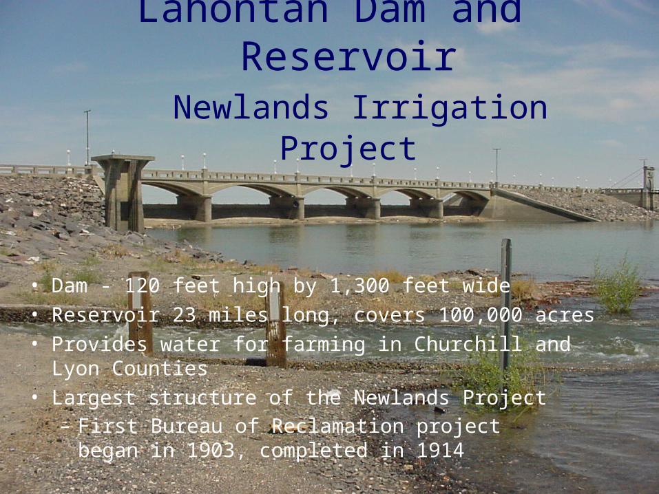
Lahontan Dam and Reservoir
Newlands Irrigation Project
• Dam - 120 feet high by 1,300 feet wide• Reservoir 23 miles long, covers 100,000 acres• Provides water for farming in Churchill and Lyon
Counties• Largest structure of the Newlands Project
– First Bureau of Reclamation project began in 1903, completed in 1914
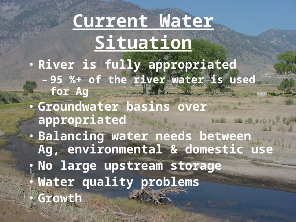
Current Water Situation
• River is fully appropriated– 95 %+ of the river water is used for Ag
• Groundwater basins over appropriated• Balancing water needs between Ag,
environmental & domestic use• No large upstream storage• Water quality problems• Growth

We’ve come a long way!

Federal Clean Water Act Responsibilities
• 303(d) Impaired Waters List• Total Maximum Daily Loads (pollution loads)
– California• Indian Creek Reservoir – Total Phosporus
– Nevada• Bryant Creek (associated with Leviathan Mine)• Carson River East & West Forks –
– Total Phosphorus – Total Suspended Solids & Turbidity
– 208 Planning –• Wastewater reuse
Acid Main Drainage
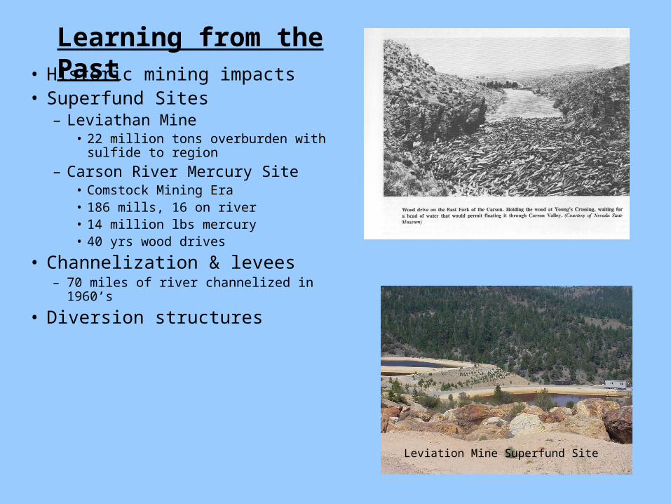
• Historic mining impacts• Superfund Sites
– Leviathan Mine• 22 million tons overburden with sulfide
to region
– Carson River Mercury Site• Comstock Mining Era• 186 mills, 16 on river• 14 million lbs mercury• 40 yrs wood drives
• Channelization & levees– 70 miles of river channelized in 1960’s
• Diversion structures
Leviation Mine Superfund Site
Learning from the Past

Flooding - Nothing New!!Flooding - Nothing New!!(Not a question of(Not a question of if if but but whenwhen))
1876 – Dayton Valley 1907 – Carson City
1955 – Carson Valley1937 – Carson Valley
Major Flooding:
1852
1862
1867
1874
1886
1889
1907
1937
1943
1950
1955
1963
1983
1986
1995
1997
2005

Drought
• Defined as 70% or less of average annual precipitation
• Affects water quality and habitat• Multi-year droughts occur about every 10-15 years
in the Carson River Watershed• Drought occurred in the years of 1981, 1987, 1988,
1990, 1991, 1992, 1994 and 2001
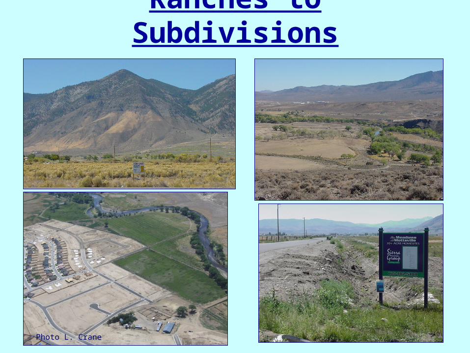
Ranches to Subdivisions
Photo L. Crane
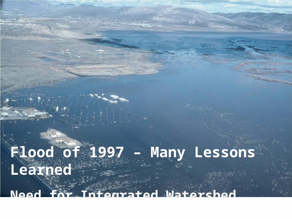
Flood of 1997 – Many Lessons Learned
Need for Integrated Watershed Management

Balancing the NeedsBalancing the Needs
DomesticAgricultural
Environmental
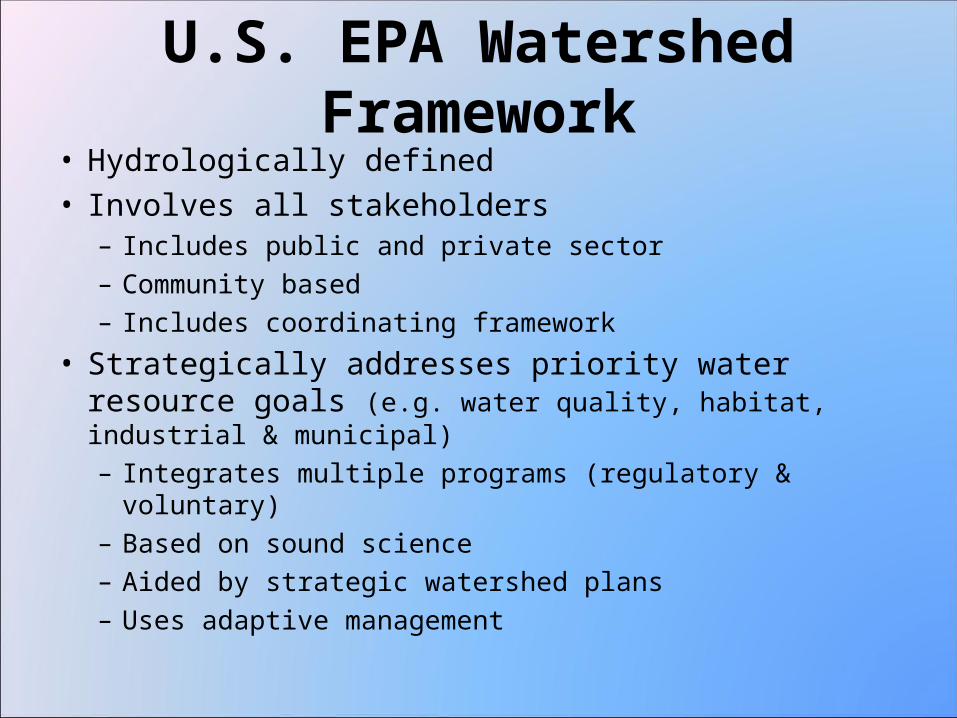
U.S. EPA Watershed Framework• Hydrologically defined• Involves all stakeholders
– Includes public and private sector– Community based– Includes coordinating framework
• Strategically addresses priority water resource goals (e.g. water quality, habitat, industrial & municipal)– Integrates multiple programs (regulatory & voluntary)– Based on sound science– Aided by strategic watershed plans– Uses adaptive management
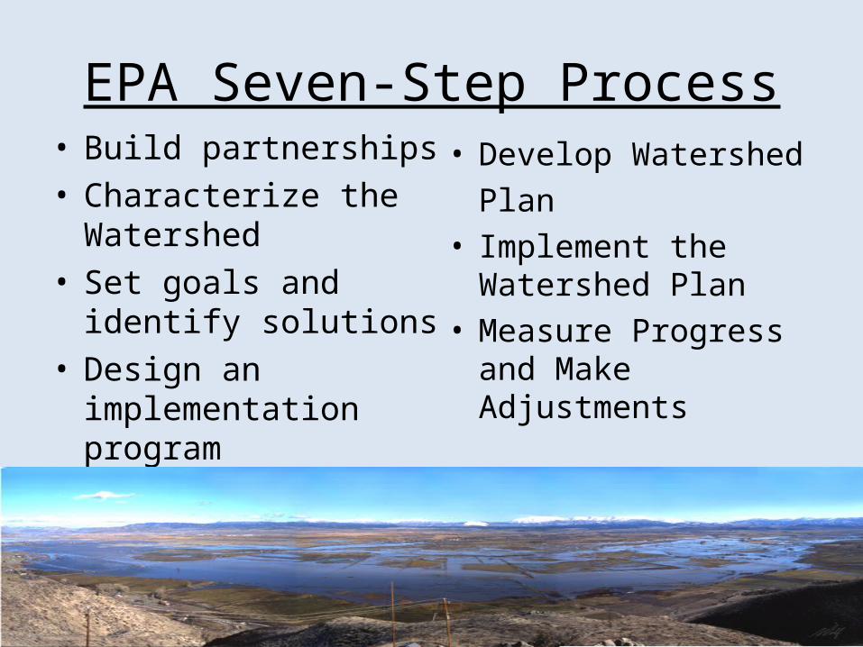
EPA Seven-Step Process• Build partnerships• Characterize the
Watershed• Set goals and identify
solutions• Design an implementation
program
• Develop Watershed Plan
• Implement the Watershed Plan
• Measure Progress and Make Adjustments

Benefits of Integrated Watershed Management
Approach
• Shared vision & goals• Connects groups• Support and direction for on-the-ground projects• Consistency throughout watershed - planning & projects• Additional resources for everyone• Leverage funding• Increase in overall stewardship of resources
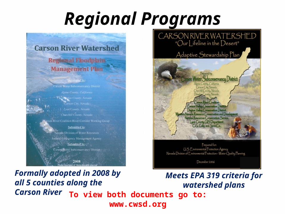
To view both documents go to:www.cwsd.org
Meets EPA 319 criteria for watershed plans
Formally adopted in 2008 by all 5 counties along the Carson River
Regional Programs
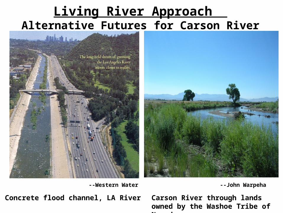
Living River Approach Alternative Futures for Carson River
Carson River through lands owned by the Washoe Tribe of Nevada
Concrete flood channel, LA River
--John Warpeha
--Western Water
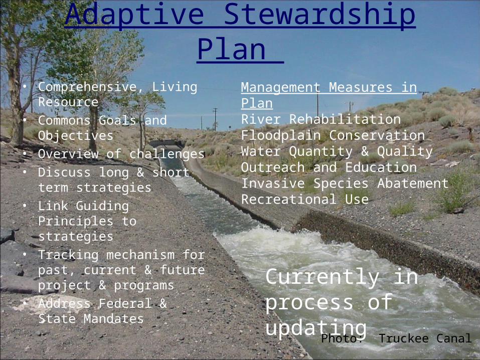
Adaptive Stewardship Plan
• Comprehensive, Living Resource
• Commons Goals and Objectives
• Overview of challenges• Discuss long & short term
strategies • Link Guiding Principles to
strategies• Tracking mechanism for
past, current & future project & programs
• Address Federal & State Mandates
Currently in process of updating
Management Measures in PlanRiver RehabilitationFloodplain ConservationWater Quantity & QualityOutreach and EducationInvasive Species AbatementRecreational Use
Photo: Truckee Canal

River RehabilitationBio-Engineering techniques to reduce erosion
Native plant materials, very little rock, natural recruitment
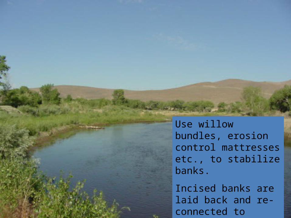
Use willow bundles, erosion control mattresses etc., to stabilize banks.
Incised banks are laid back and re-connected to floodplain
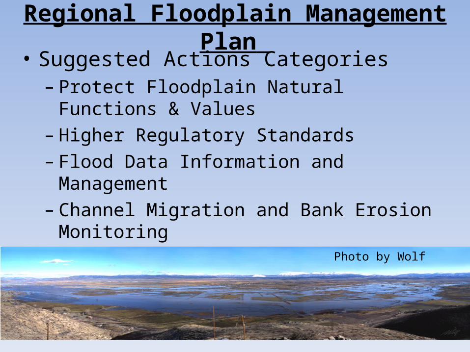
Regional Floodplain Management Plan • Suggested Actions Categories
– Protect Floodplain Natural Functions & Values– Higher Regulatory Standards– Flood Data Information and Management – Channel Migration and Bank Erosion Monitoring– Floodplain & Flood Hazard Outreach and Education– Reduce Infrastructure Impacts
Photo by Wolf

Carson Valley Floodplains Agricultural lands provide flood storage, wildlife habitat, recharge of groundwater, riparian habitat and many other ecosystem services.
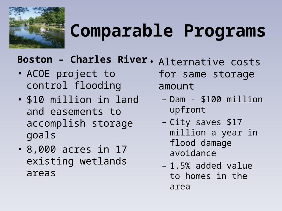
Comparable Programs
Boston – Charles River• ACOE project to control
flooding• $10 million in land and
easements to accomplish storage goals
• 8,000 acres in 17 existing wetlands areas
• Alternative costs for same storage amount– Dam - $100 million
upfront– City saves $17 million a
year in flood damage avoidance
– 1.5% added value to homes in the area

Levy Failure
Hurricane Katrina
Mississippi River Commission
Numerous Watershed Management Organizations, NGO’s, Agencies,
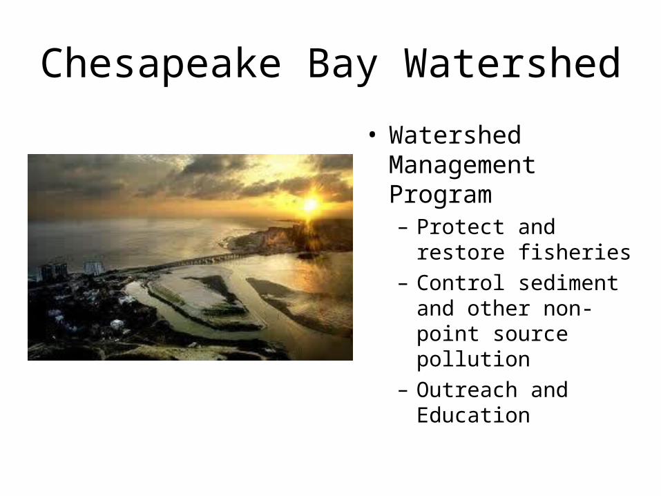
Chesapeake Bay Watershed
• Watershed Management Program– Protect and restore
fisheries– Control sediment and
other non-point source pollution
– Outreach and Education
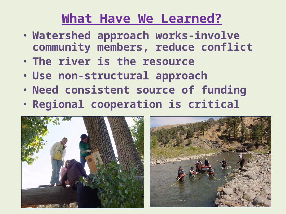
What Have We Learned?• Watershed approach works-involve community
members, reduce conflict• The river is the resource• Use non-structural approach• Need consistent source of funding• Regional cooperation is critical

Thank You!!!
East Fork Carson River in California
Wild & Scenic River Designation