cartodb in the gis curriculum
TRANSCRIPT

CARTODB IN THE GIS CURRICULUM
Carsten Kessler Department of Geography & Center for Advanced Research of Spatial Information · Hunter College · CUNY
http://carsten.io · @carstenkessler

USING CARTODB IN…
• Undergraduate level:
• Intro to GIScience
• Graduate:
• Advanced GIS
• Free & Open Source GIS

INTRO TO GISCIENCE (UNDERGRAD)
• Uses CartoDB in very first lab
• … even before they get to touch a desktop GIS
• Goal: Make a first (very simple) Web map
• Explore and analyze the map, using CartoDB’s visualizations
• NYC open data WiFi hotspots

Lab 1: Let’s make a Visualization
We’re going to work with some data on WIFI hotspots

ADVANCED GIS (GRAD)
• Covers relational (spatial) DBs, object-oriented modeling,
point pattern analysis, interpolation techniques, etc.
• Uses CartoDB in bonus lab (without guidance)
• Students create interactive world map of most visited
museums
• Data extracted from Wikipedia


FOSSGIS
• Taught as 1-week training course and regular 1-semester
grad course
• Solid knowledge of desktop GIS principles required
• Idea: transfer what students already know about GIS to the
world of Open Source GIS
• … and sneak in some programming skills

STRUCTURE
• Desktop GIS (QGIS)
• Spatial DBs (PostGIS)
• Spatial data analysis in Python and R
• Web mapping, server (Geoserver) and client (Leaflet)
• Final project

STRUCTURE
• Desktop GIS (QGIS)
• Spatial DBs (PostGIS)
• CartoDB
• Spatial data analysis in Python and R
• Web mapping, server (Geoserver) and client (Leaflet)
• Final project

APPLICATION EXAMPLE
• “Identify playgrounds near high-traffic streets in NYC”
• Used throughout the course
• Combination of spatial and thematic queries
• Solving the same problem in QGIS, PostGIS, R, Python,
CartoDB, … highlights differences
• Simple enough


TASK
• Identify playgrounds in NYC that are within 50m of a street
with more than 100,000 cars per day.
• Let’s do this…
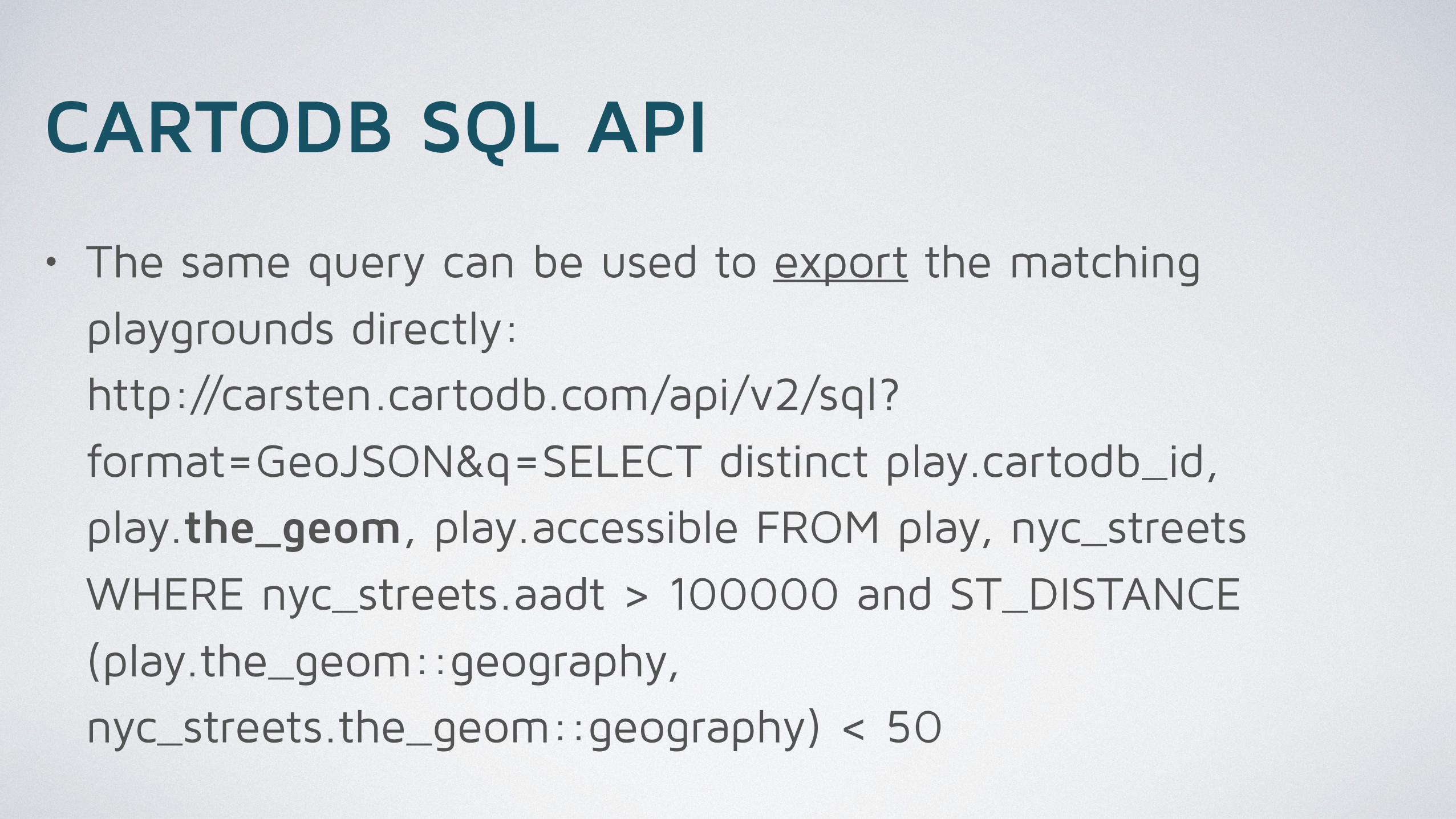
CARTODB SQL API
• The same query can be used to export the matching
playgrounds directly:http://carsten.cartodb.com/api/v2/sql?
format=GeoJSON&q=SELECT distinct play.cartodb_id,
play.the_geom, play.accessible FROM play, nyc_streets
WHERE nyc_streets.aadt > 100000 and ST_DISTANCE
(play.the_geom::geography,
nyc_streets.the_geom::geography) < 50


THANK YOU!
Carsten Kessler Department of Geography & Center for Advanced Research of Spatial Information · Hunter College · CUNY
http://carsten.io · @carstenkessler

SELECT DISTINCT play.cartodb_id, play.the_geom_webmercator, play.accessible FROM play, nyc_streets WHERE nyc_streets.aadt > 100000 and ST_DISTANCE (play.the_geom::geography, nyc_streets.the_geom::geography) < 50
POSTGIS SQL QUERIES IN CARTODB