civil gps service interface committee (cgsic) un
TRANSCRIPT

1
Civil GPS Service
Interface Committee
(CGSIC)
Rick Hamilton
CGSIC Executive Secretariat
Beijing, China
November 05, 2012
UN International Committee on GNSS
Civil GPS Service Interface Committee
(CGSIC)
• Information portal for the Civil GPS Program
• Information exchange intended to be to and from the world’s civil
users of GPS
• CGSIC examines and promotes issues forwarded by users and
governemnt interagency partners in the GPS Program
• Recently asked to help the U.S National Search and Rescue
Committee secretariat begin an education process
• Standardization of position information during Catastrophic Incident
Search and Rescue (CISAR) Operations

Regarding the:
Public Hearing in the Matter
of the Issues on
Emergency Medical Services
Helicopter Operational Safety;
and
In support of the
National Search and Rescue Committee’s (NSARC)
standardization of
position information during
Catastrophic Incident
Search and Rescue (CISAR) Operations
Unclassified
Unclassified
Briefing Created on
25 October 2012

Unclassified
Unclassified 1

Unclassified
Unclassified 2

NSARC adoption of the U.S. National Grid
(USNG) for CISAR operations based on:
• Approved United States national standard (FGDC-STD-0911-2001).
• As stated by the Federal Geographic Data Committee:
This standard defines the US National Grid. The U.S. National Grid
is based on universally defined coordinate and grid systems and
can, therefore, be easily extended for use world-wide as a universal
grid reference system.
• Global Positioning System receivers are now being manufactured with the ability to transition between USNG and latitude/longitude, providing ease of transition between both coordinate systems.
• The Federal Emergency Management Agency (FEMA) has adopted USNG as their standard point reference system.
• Many United States Geological Survey (USGS) maps/charts of the United States land mass are routinely over-printed with USNG lines plus latitude and longitude tic marks in the margins
Unclassified
Unclassified 3

The USNG is intended to
• Create a more interoperable environment
• Increase the interoperability of location services appliances with printed map products
• Establish a preferred nationally-consistent grid reference system
• USNG can be extended for use worldwide as a universal grid reference system
• Can be easily plotted on USGS topographic maps by using a simple "read right, then up" method.
• Easily translated to distance, as USNG coordinates are actually in meters.
Unclassified
Unclassified 4

Unclassified
Unclassified 5

Aviation has a
long-standing
use of Lat/Long
coordinates
Unclassified
Unclassified 6

NSARC adopted the use of Latitude and Longitude for
CISAR operations based on the following rationale:
• The latitude/longitude coordinate system is universal, a de facto standard throughout the maritime and aeronautical communities, and is easy to use for any SAR responder with today’s portable GPS receivers.
• Many SAR aircraft have avionics that can easily transition between latitude/longitude and USNG for interoperability between ground and airborne SAR responders.
• All aeronautical SAR responders do use latitude/longitude for navigation and can easily input area corner points for area reference and airspace deconfliction.
• Nautical charts, aeronautical sectionals, and USGS topographic maps have, at a minimum, latitude and longitude tic marks printed in the margins.
Unclassified
Unclassified 7

Unclassified
Unclassified 8

• The standard Latitude/Longitude format for CISAR operations is Degrees, Decimal Minutes (DD° MM.mm’).
• Latitude is always read and written first noting “North” since the U.S. is North of the Equator. Longitude is always read and written last noting “West” since the U.S. is West of the Prime Meridian.
• When speaking Latitude and Longitude coordinates for 39° 36.06’N by 76° 51.42’W. Latitude and longitude is stated as:
• “Three nine degrees, three six decimal zero six minutes North by seven six degrees, five one decimal four two minutes West.”
• The words, “degrees,” “minutes,” and “decimal” must to be spoken.
Standard Latitude/Longitude format
for CISAR operations
Unclassified
Unclassified 9

National SAR Committee
CISAR Geo-referencing Matrix
Unclassified
Unclassified 10

CONCLUSIONS
• Emergency Responder confusion with respect to the interpretation
and communication of positional data is a potentially life-threatening
problem for the victim of a transportation-related accident.
• Report was provided to identify the problems and a simple solution
to communicating position.
• NSARC created the geo-referencing matrix to be used for a Federal,
interagency SAR response to Catastrophic Incidents, but can be
used for any emergency response operations.
• Combined with identifying a standardized way to communicate
latitude and longitude, the confusion that often occurs due to
inappropriate communication of position, or unfamiliarity with local
landmarks can be mitigated.
Unclassified
Unclassified 11

RECOMMENDATIONS • 1. The NTSB should routinely include at least a cursory examination
of the emergency response in its investigations of transportation-related incidents; a more detailed investigation of the response may be appropriate when it appears the NTSB could make recommendations that could significantly improve response policies and procedures.
• 2. Emergency service providers, both public and private, should be:
– Familiar with the USNG and latitude, longitude reference systems and their respective position data formats;
– Capable of translating positions from one reference system to the other; and
– Capable of accurately communicating position information from either reference system to other providers
• 3. Maps at appropriate scales and using appropriate projections, and/or electronic geographic information systems (GIS) with, as appropriate, either USNG grid lines or a latitude, longitude graticule overlaid on the map image, with other reference system denoted by tic marks in margins, should be made available to all emergency responders. Digital map display systems should display cursor location readout in both coordinate formats simultaneously.
Unclassified
Unclassified 12

• 4. Methods for converting positional information provided in other forms, ranging from street addresses to well-known landmarks and “points of interest” to range and bearing information from radar or aeronautical navigation aids, etc., into standard latitude, longitude and/or USNG coordinates should be provided at some level accessible to emergency responders 24/7.
• 5. Continue outreach and marketing in the use of the NSARC geo-referencing matrix for use by SAR emergency response personnel.
• 6. The NTSB explore the issues concerning the use of Earth coordinate reference systems use by emergency responders identified in this paper.
RECOMMENDATIONS (cont.) Unclassified
Unclassified 13

Unclassified
Unclassified 14

CSSIC U.S. States and Local
Government Subcommittee
• Chaired by Federal Highways Administration
• Provide an open forum for civil user information exchange
concerning the use of GPS by state and local governments
organizations
• recommending appropriate action on those issues
• Identify common needs of state and local governments for GPS
information,
• Identify information requirements and methods to distribute this
information to state and local government users of GPS
• Meets twice a year in different States around the U.S. and again at
the CGSIC full Plenary Session conducted in conjunction with ION
GNSS each year
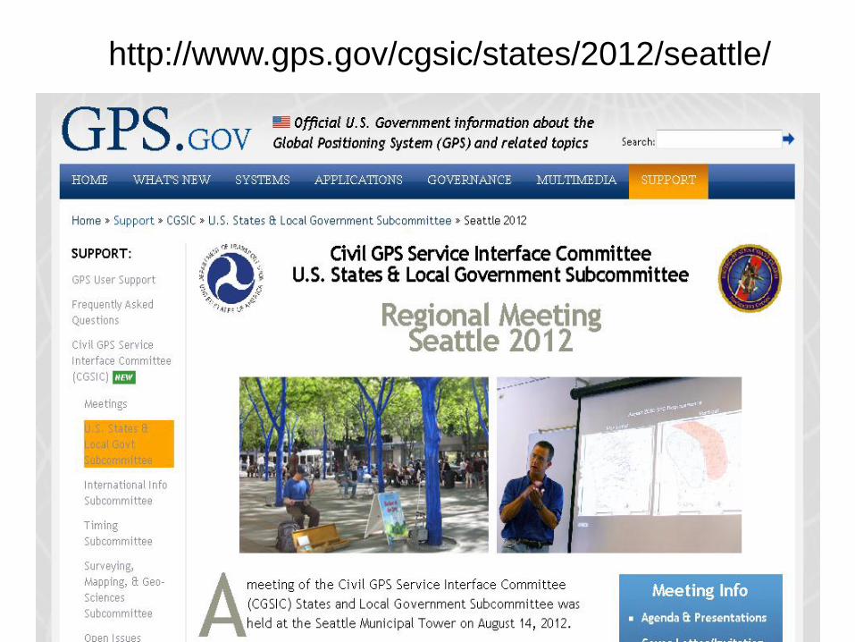
http://www.gps.gov/cgsic/states/2012/seattle/

20
• Navigation Information Service
• http://www.navcen.uscg.gov
• http://www.navcenter.org/ (mirror site)
• E-mail: [email protected]
• Phone: +1 703 313 5900
• Fax: +1 703 313 5920
• Civil GPS Service Interface Committee Secretariat
E-mail: [email protected]
NAVCEN Contact Information