community-based gis internships for michigan high school ... · community-based gis internships for...
TRANSCRIPT

Community-based GIS Internships
for Michigan High School Students
Allison Hoff
PhD Student College of Technology
Eastern Michigan University
GRACE Project Coordinator
Institute for Geospatial Research and Education

GRACE Project
NSF- ITEST until 2018
Goals
- STEM Education
- Career Pathways
• Approach:
- Community based problem solving
• Participants
• Training
• Products

Density of
Current
2017
Intern
Candidates
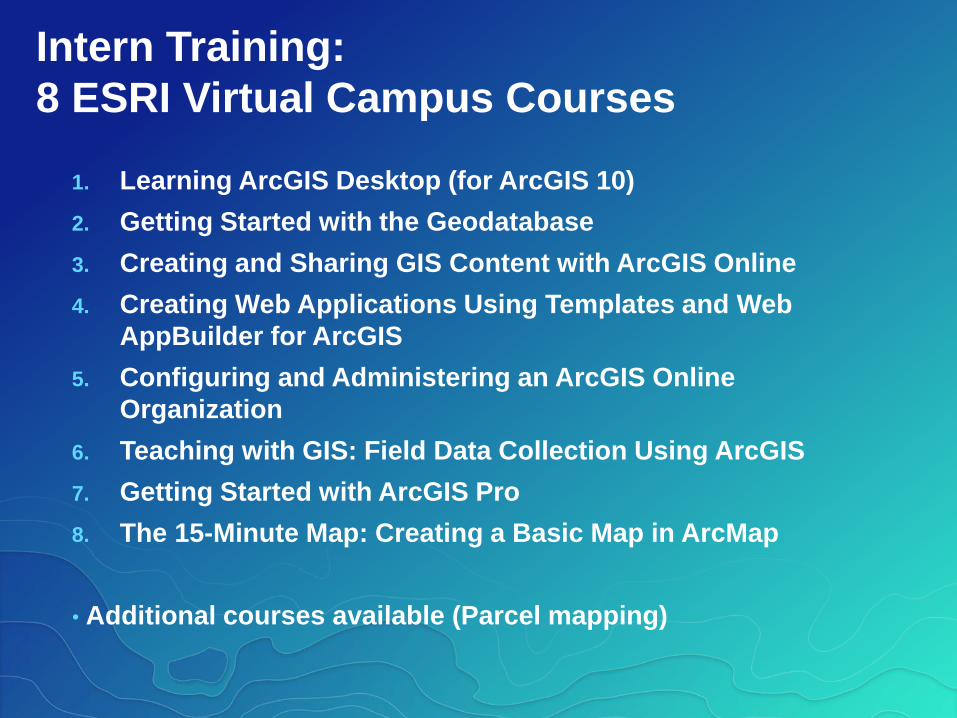
Intern Training:
8 ESRI Virtual Campus Courses
1. Learning ArcGIS Desktop (for ArcGIS 10)
2. Getting Started with the Geodatabase
3. Creating and Sharing GIS Content with ArcGIS Online
4. Creating Web Applications Using Templates and Web
AppBuilder for ArcGIS
5. Configuring and Administering an ArcGIS Online
Organization
6. Teaching with GIS: Field Data Collection Using ArcGIS
7. Getting Started with ArcGIS Pro
8. The 15-Minute Map: Creating a Basic Map in ArcMap
• Additional courses available (Parcel mapping)

Intern Training:
Teacher Professional Development
1. Introduction to GIS for Teachers
2. Preparing to Use GIS as a Tool in the
Classroom with Story Maps
3. Designing your School AGOO and Using
Spatial Analysis Tools
4. Preparing High School Students for GIS
Internships

Story Maps:Community Based Problem Solving by
Two High School GIS Interns

Exeter Tax ParcelsBy 10th Grade Student
Monroe High School

The story map considers:
How parcel mapping affects his local
community.
1. How people and land records interact.
2. How to determine parcel boundaries in a
community.
3. How changes in parcel boundaries affect
people in a community.

People and land records interact

Parcel characteristics are used by people
to estimate taxes owed by land owners

Determined parcel
boundaries in the
community of Monroe,
Michigan
Imagery and historical records

Historical
Records
12th grader

Imagery

Changes in parcel boundaries affect people in a community

The boundaries show how properties relate to each
other over space and (changes over) time
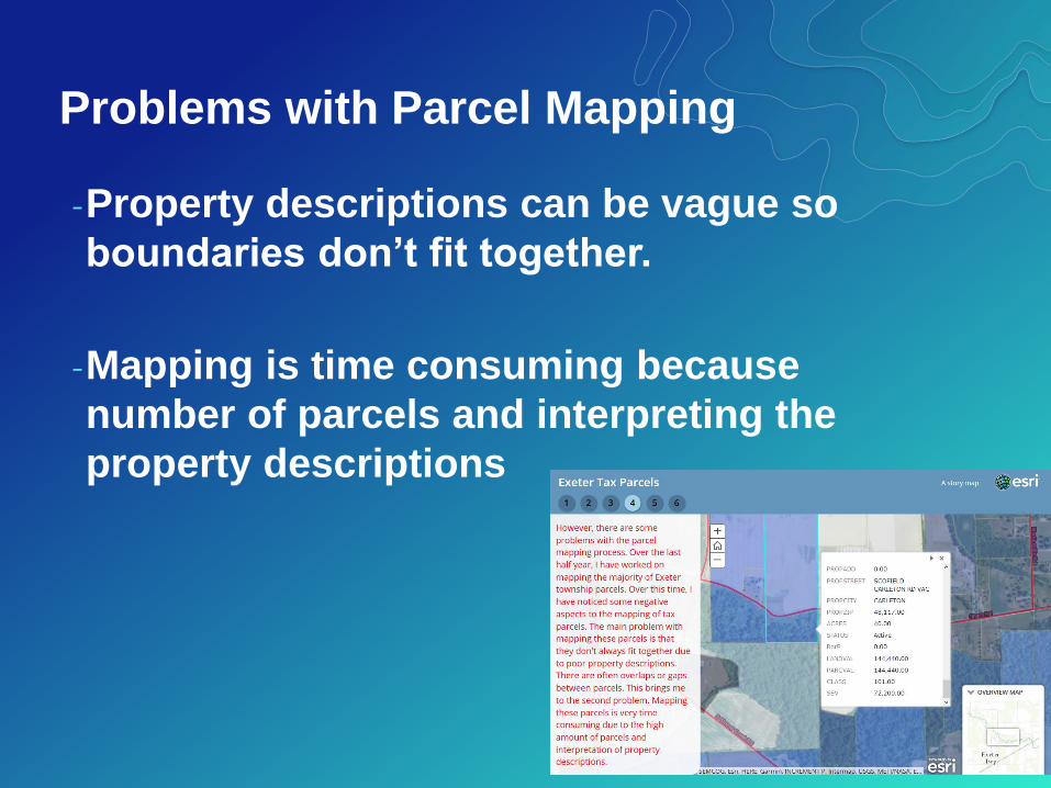
Problems with Parcel Mapping
-Property descriptions can be vague so
boundaries don’t fit together.
-Mapping is time consuming because
number of parcels and interpreting the
property descriptions

Benefits to community:
•Distinguish properties
•Show changes over time
•Correctly determine taxes for community
members

Benefits to student:
•Decision making and problem solving
•Access to authoritative data sources
•Worked with GIS professional
•Will be mentoring other students this
summer
•Hired by the county

Learning through GIS Internships
-Engaged the student in data analysis that
encouraged
-asking questions and defining problems
-investigating and interpreting data
-figuring out vs learning about
-Embedded materials
-centered on the student’s community
-move beyond “point and click”

High School GIS Internships in local
organizations:
•Opportunities for decision making
and problem solving that helps
community
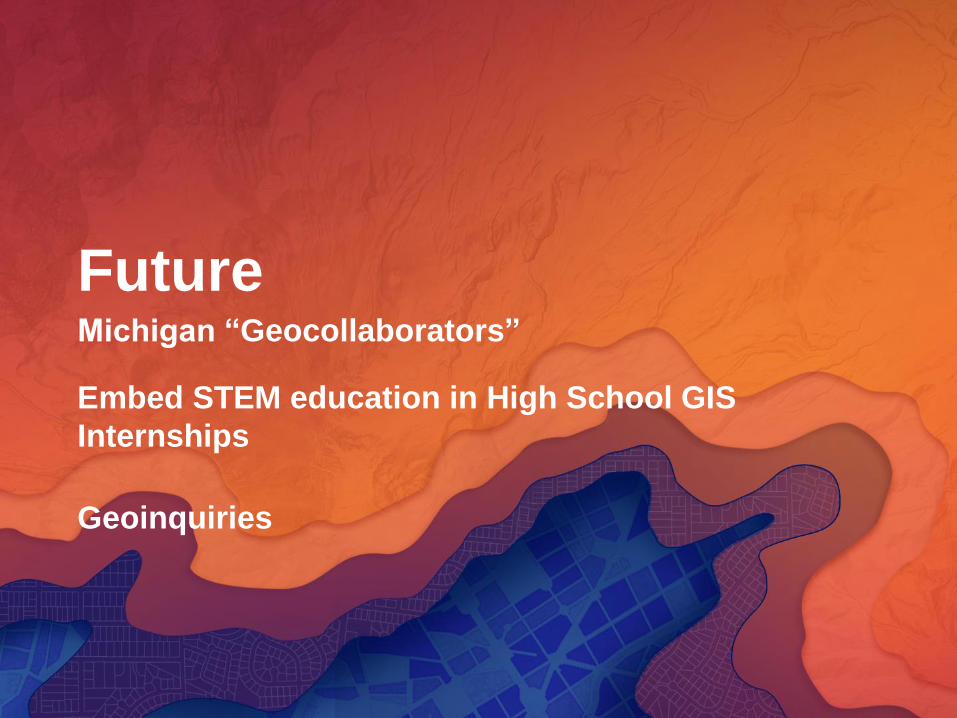
FutureMichigan “Geocollaborators”
Embed STEM education in High School GIS
Internships
Geoinquiries
