compass4d deployment
TRANSCRIPT

Compass4D Deployment
Bordeaux Pilot Site

3
Increase drivers’ safety and comfort
- By reducing the number and severity of road accidents, - By avoiding queues and traffic jams.
Have a positive impact on the
local environment
- By reducing vehicles’ CO2 emissions and fuel consumption.
The European project Compass4D focuses on services which will :
Project presentation

Compass4D: vision and main goals
> Demonstrate the positive cost-benefit of C-ITS,
> Services remain operational after the end of the project,
> Become a reference model for other cities,
> Raise public awareness and user acceptance,
> Support international cooperation and standardization.
5
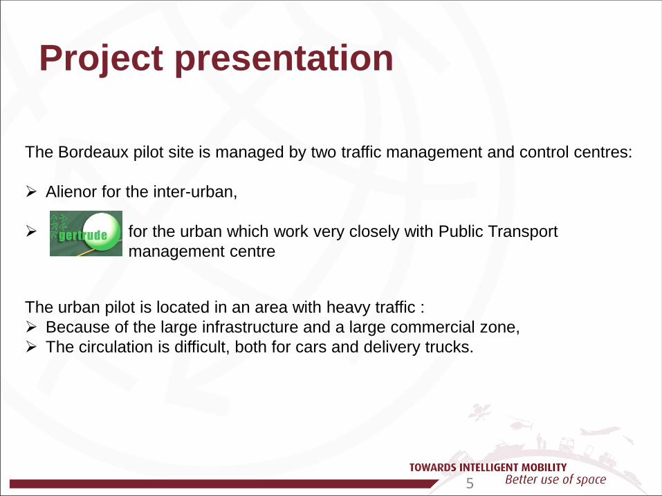
The Bordeaux pilot site is managed by two traffic management and control centres: Alienor for the inter-urban, for the urban which work very closely with Public Transport
management centre
The urban pilot is located in an area with heavy traffic : Because of the large infrastructure and a large commercial zone, The circulation is difficult, both for cars and delivery trucks.
Project presentation

6
- For Bordeaux Pilot site, 4 partners worked together in order to deploy Compass4D :
- From January 2013, the Bordeaux team have to implement :
GLOSA Green Light Optimal Speed Advice
Idling stop support
Road Hazard Warning services
Project presentation
Emergency Vehicle Alert

7
Bordeaux - Manage the urban site, - Adapt the software needed for the Bordeaux site, and install the urban road side units (RSU), 24 on-board units (OBU) in light vehicles and 6 in emergency vehicles.
- Equip the ring road with RSU’s from 3 providers, - Equip 10 vehicles with OBU’s from 2 providers, - Manage the inter urban pilot site.
- Equip vehicles with home made OBU’s and manage 40 operational trucks belonging to different transport companies.
- Provide On Board Units, - Provide 5,9 GHz antennas, - Provide Road Side Units .
Partner’s tasks repartition

8
2013 2014 2015
Q1 Q2 Q3 Q4 Q5 Q6 Q7 Q8 Q9 Q10 Q11 Q12
Architecture Specifications
Implementation Installation
Check
Pilot (1 year) Data collect
Analyzes Results
Communication
Project planning

9
User interface On Board Units (OBU)
Sagase / TIPI (event source)
DATEX II events
Trafic lights timing
Gertrude stream
Road Side Unit (RSU) Road Side Unit
(RSU) Road Side Unit (RSU)
Geoloc Systems Platform
Project planning Step 1 : architecture specifications
ITS G5 (802.11p)

10
Cooperative ITS messages 802.11p
Embedded Compass4D
Secured wifi link to OBU
On-Board Unit 2 examples
Project planning Step 2 : installation in vehicles
Wire links between OBU & antennas
Antennas 802.11 p/ GNSS / 3G

11
Project planning Step 2 : Roadside Units preparation

12
Project planning Step 2 : Roadside Units implementation

13
Project planning Step 2 : Roadside Units Locations
14
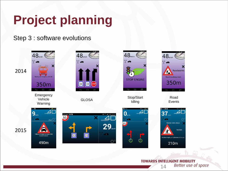
2014
2015
Emergency Vehicle Warning
GLOSA Stop/Start
Idling Road
Events
Project planning Step 3 : software evolutions

Compass4D : to summarize
The system does appear to have an effect on the larger vehicles, with some substantial reductions seen for the trucks/buses across the different sites,
The system also appears to work better when the vehicles are moving.
Within Thessaloniki the system caused an emission reduction for vehicles which spent less than 50% of their time stopped,
The system would have good individual impact but bad global effect with low penetration rate. Simulation let appears very good effect if more than 60% of the traffic flow is equiped
In Summary: The system appears to perform better with heavier vehicles, and hence would be suitable for roads which see heavy buses, rather than inner city streets which may be dominated by lighter vehicles so long the penetration rate in not enough.
Compass4D : a success story thanks to…
> Key stakeholders engagement and effective international collaboration,
> Realistic identification of barriers, opportunities and solutions,
> Proven benefits for different stakeholders types :
* Public Buses: better keep time schedules, lower emissions, * Heavy Good Vehicles: more fluid traffic, lower emissions, * Emergency Services: less stops, improved work conditions, quicker interventions, increased safety, * Taxis: more fluid traffic, improved work conditions, quicker journeys for (more) clients, increased safety, * Private cars: more fluid traffic, quicker and less stressful journeys, increased safety.
> Prospective business and use cases.
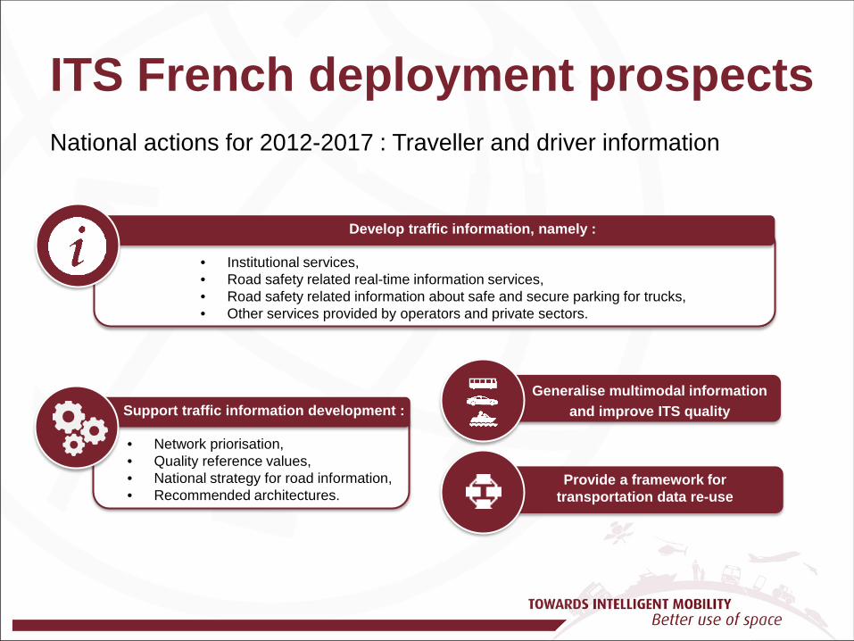
Main title ITS French deployment prospects National actions for 2012-2017 : Traveller and driver information
Develop traffic information, namely :
• Institutional services, • Road safety related real-time information services, • Road safety related information about safe and secure parking for trucks, • Other services provided by operators and private sectors.
Support traffic information development :
• Network priorisation, • Quality reference values, • National strategy for road information, • Recommended architectures.
Generalise multimodal information and improve ITS quality
Provide a framework for transportation data re-use

Main title ITS French deployment prospects National actions for 2012-2017 : Innovation and new technologies
Experiment cooperative systems
• In order to better assess costs/benefits and business models.
Develop the contribution of ITS
• To the reduction of energy consumption, • To the reduction of CO2 emissions, • For other environmental impacts of transport.
• Road safety of drivers’ distraction and promote research, • Standards and specifications to avoid dangerous effects of the
multiplication of on board devices in cars.
Assess the impact on :
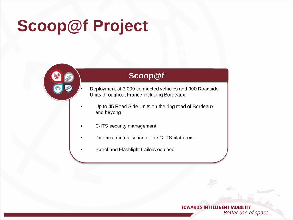
Main title Scoop@f Project
Scoop@f • Deployment of 3 000 connected vehicles and 300 Roadside
Units throughout France including Bordeaux, • Up to 45 Road Side Units on the ring road of Bordeaux
and beyong • C-ITS security management, • Potential mutualisation of the C-ITS platforms.
• Patrol and Flashlight trailers equiped
Thanks for your attention