compiled / created by: bernardin-lochmueller & associates, evansville, in quantm, henderson, nv...
TRANSCRIPT

Compiled / Created by:Compiled / Created by:Bernardin-Lochmueller & Associates, Bernardin-Lochmueller & Associates, Evansville, INEvansville, INQuantm, Henderson, NVQuantm, Henderson, NV
KARST FEATURES:KARST FEATURES:Why Software is Why Software is
the the CINDERELLACINDERELLA
ininI-69’sI-69’s
BIG DANCEBIG DANCE

►First and foremost there needs to First and foremost there needs to be clarification for a title like this, be clarification for a title like this, so… Why is software a Cinderella?so… Why is software a Cinderella? GIS software is used for pre & post GIS software is used for pre & post
field work field work Quantm software is a decision Quantm software is a decision
making toolmaking tool GPS software speeds up field workGPS software speeds up field work Cuts down on cost – no more hunting Cuts down on cost – no more hunting
for the ‘Needle in the Haystack’for the ‘Needle in the Haystack’
In the I-69 Mega-Project, software has made a Stunning impact on Karst analysis.


HOW DOES SOFTWARE HELP?
GLOBAL POSITIONING SYSTEM – GPS
GEOGRAPHIC INFORMATION SYSTEM – GIS
ROUTE ANALYSIS SOFTWARE - QUANTM

Trimble GeoExplorer

►GPS SOFTWAREGPS SOFTWARE Allows for field crews to accurately pinpoint Allows for field crews to accurately pinpoint
the location of cave locationsthe location of cave locations Locations of caves can be loaded into the Locations of caves can be loaded into the
GPS unit prior to conducting field work , GPS unit prior to conducting field work , this allows for field personnel to go directly this allows for field personnel to go directly (in many cases) to cave opening instead of (in many cases) to cave opening instead of wandering around ‘hunting’ for the cave wandering around ‘hunting’ for the cave and thus saving valuable time & money.and thus saving valuable time & money.
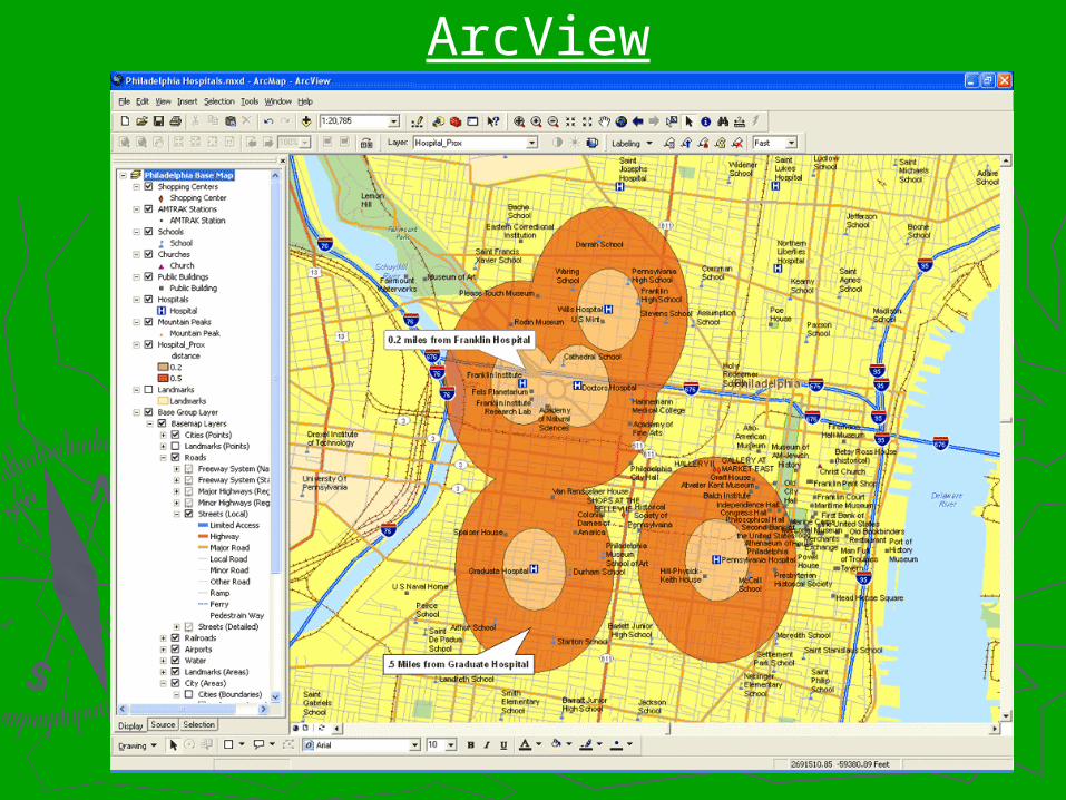
ArcView

GIS SOFTWAREGIS SOFTWAREAids in identifying critical Aids in identifying critical issues before conducting issues before conducting field workfield work
Create maps to aid in Create maps to aid in field workfield work
Create differing scenariosCreate differing scenarios

QUANTM SOFTWARE
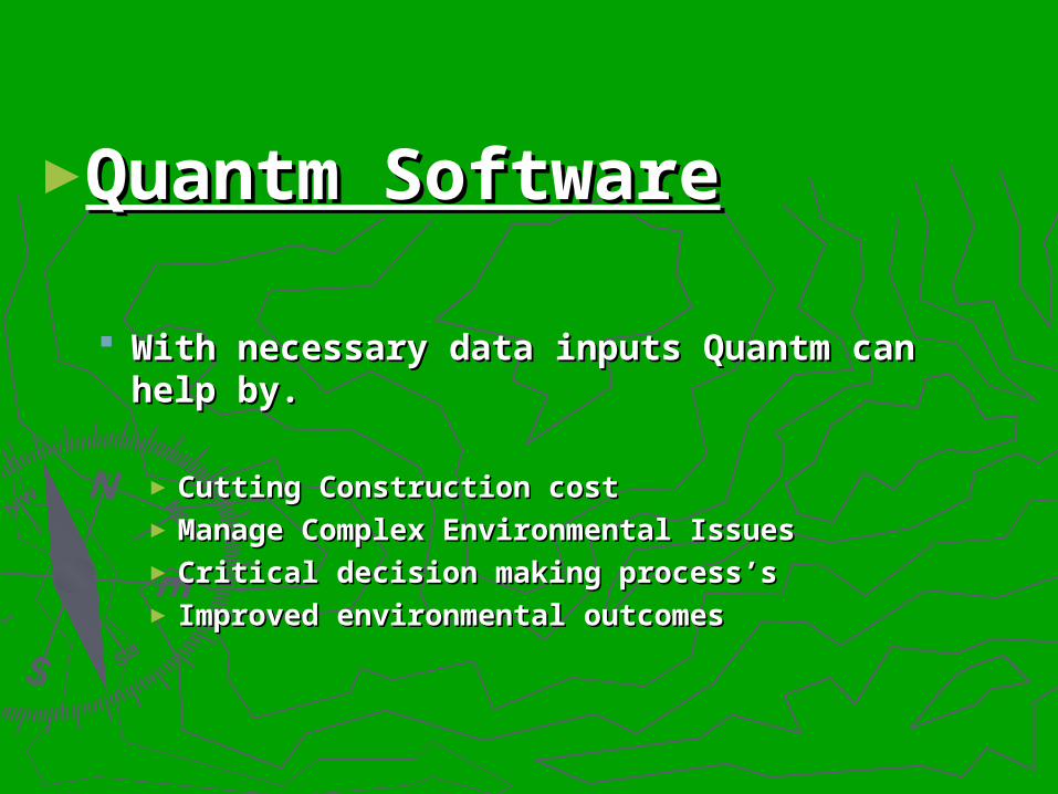
►Quantm SoftwareQuantm Software
With necessary data inputs Quantm can With necessary data inputs Quantm can help by.help by.
► Cutting Construction costCutting Construction cost► Manage Complex Environmental IssuesManage Complex Environmental Issues► Critical decision making process’sCritical decision making process’s► Improved environmental outcomesImproved environmental outcomes

A BRIEF HISTORY OFA BRIEF HISTORY OFII - 69 - 69
INDOT wanted a GIS for INDOT wanted a GIS for the southwestern 26 the southwestern 26 counties of Indiana.counties of Indiana.
Tier I began January 5Tier I began January 5thth 2000.2000.
Tier I ended March 24Tier I ended March 24thth 2004.2004.
Indiana GIS completed in Indiana GIS completed in 2002.2002.
Tier II began March 2004.Tier II began March 2004.
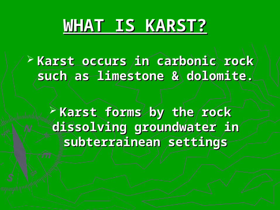
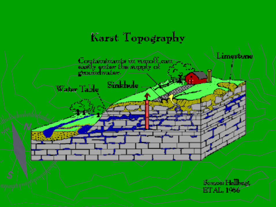
WHAT IS KARST?WHAT IS KARST?
Karst occurs in carbonic rock such Karst occurs in carbonic rock such as limestone & dolomite.as limestone & dolomite.
Karst forms by the rock dissolving Karst forms by the rock dissolving
groundwater in subterrainean groundwater in subterrainean settingssettings
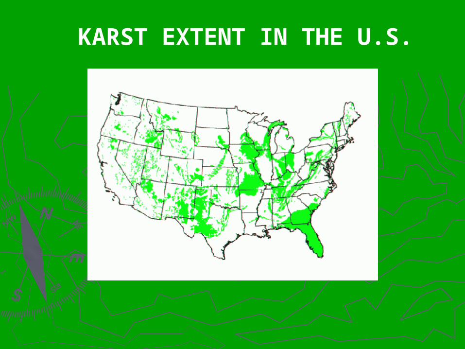
KARST EXTENT IN THE U.S.

WATER FLOW IN KARST WATER FLOW IN KARST CROSS-SECTIONCROSS-SECTION
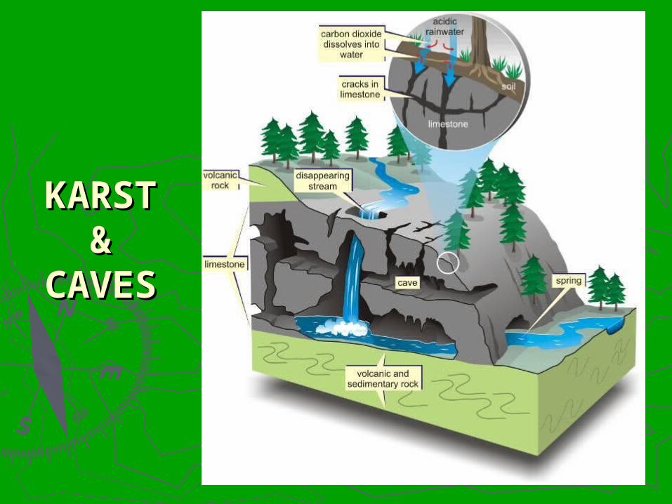
KARST KARST & &
CAVESCAVES

GROUNDWATER CONTAMINATIONGROUNDWATER CONTAMINATION
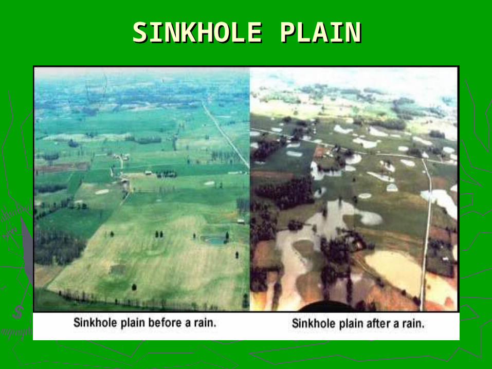
SINKHOLE PLAINSINKHOLE PLAIN

SURFICIAL CAVE-IN

CAVE-IN REPAIR
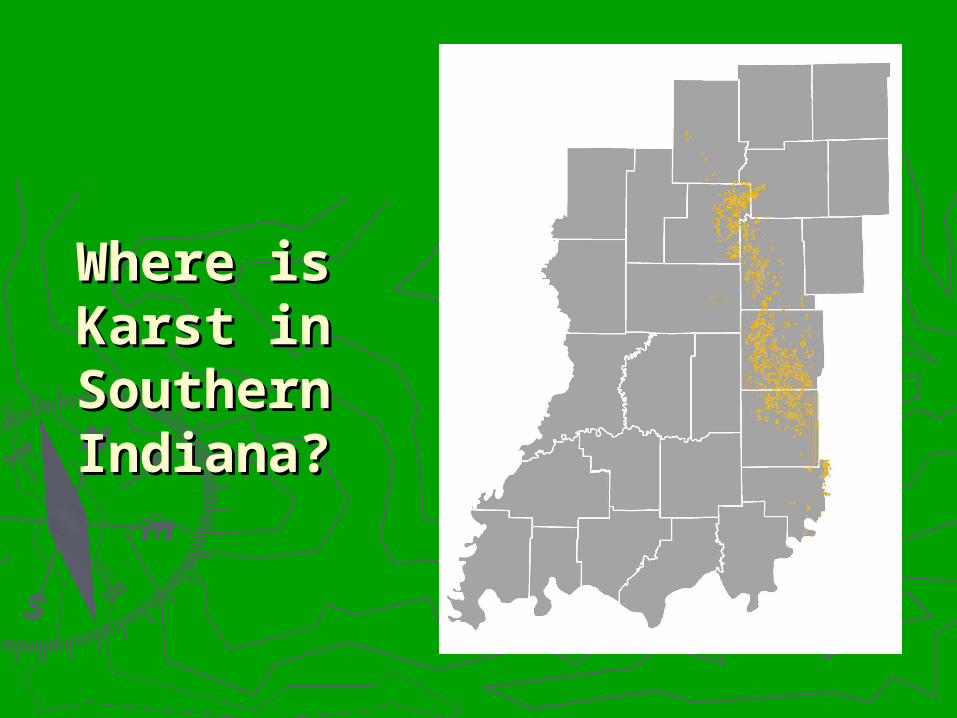
Where is Where is Karst in Karst in
SouthernSouthernIndiana?Indiana?

Where is Where is I-69 in I-69 in
SouthernSouthernIndiana?Indiana?
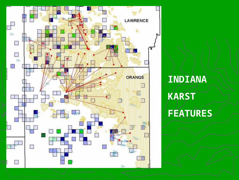
INDIANA
KARST
FEATURES
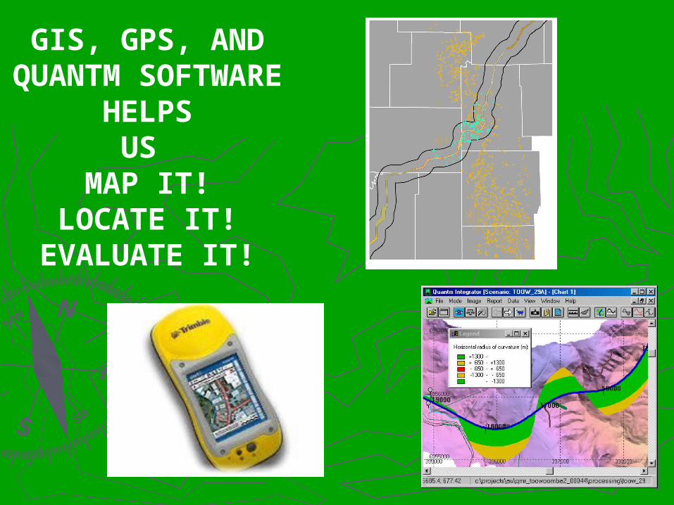
GIS, GPS, AND QUANTM
SOFTWARE HELPSUS
MAP IT!LOCATE IT!
EVALUATE IT!

CONSIDERATIONS IN KARST CAVE ENVIRONMENTS
SPECIES
GROUND WATER & SPRINGS
ENGINEERING
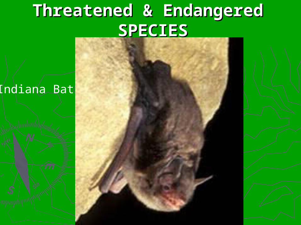
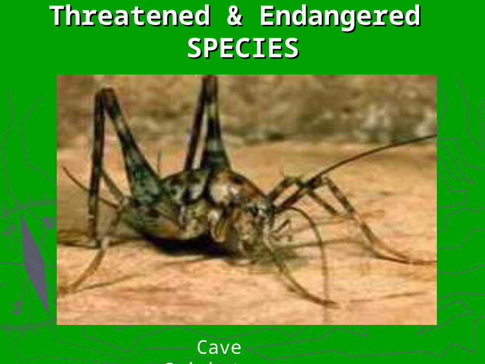
Threatened & Endangered Threatened & Endangered SPECIESSPECIES
Indiana Bat
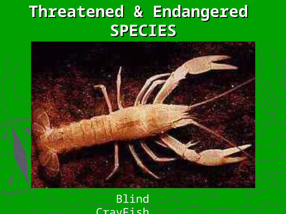
Threatened & Endangered Threatened & Endangered SPECIESSPECIES
Blind CrayFish

Threatened & Endangered Threatened & Endangered SPECIESSPECIES
Spotted Cave Salamander
Threatened & Endangered Threatened & Endangered SPECIESSPECIES
Cave Cricket

KARST WELL

DYE TRACING
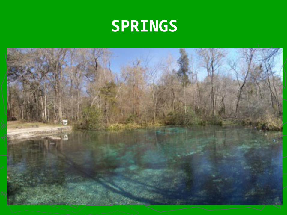
SPRINGS
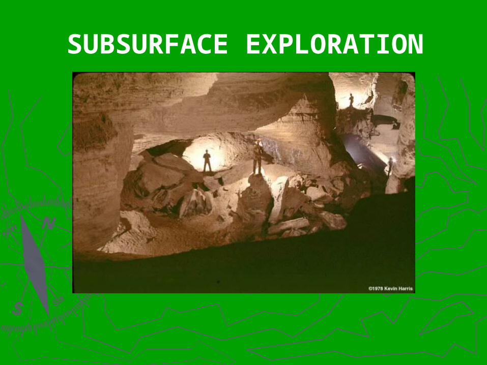
SUBSURFACE EXPLORATION

HYDROLOGIC MODELING
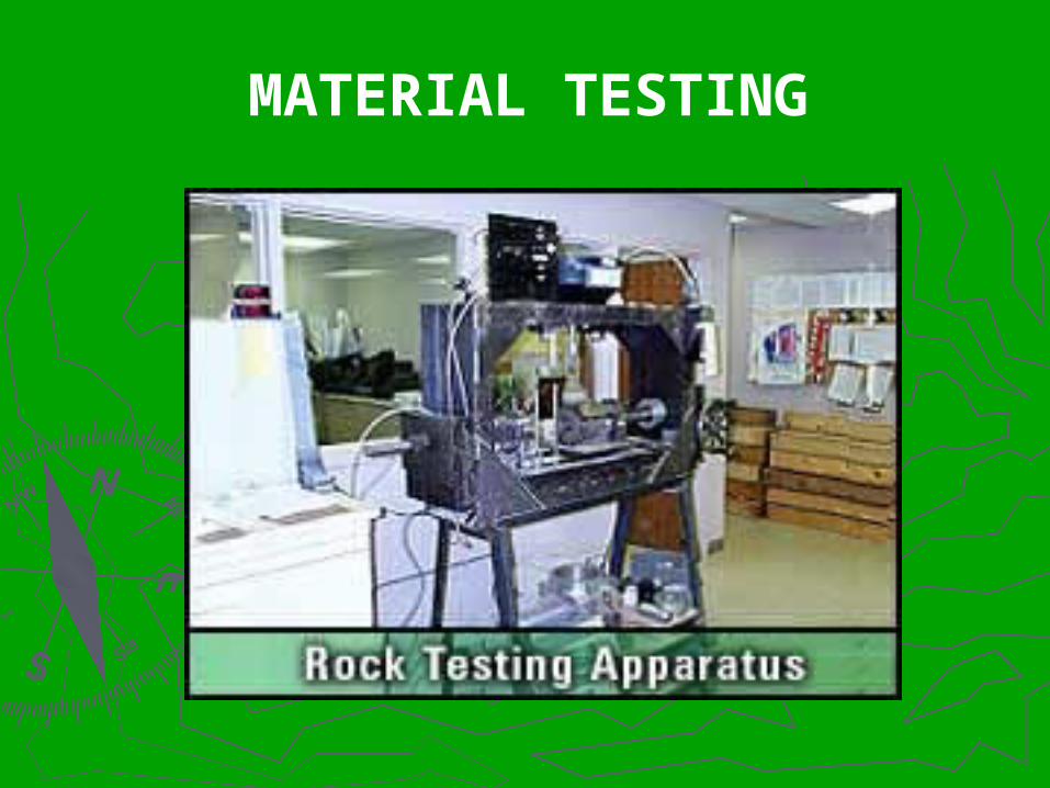
MATERIAL TESTING
SOFTWARE IS ESSIENTIALIN PROBLEM SOLVING IN THE I-69 PROJECT