completing fragmentary river networks via induced terrain tsz-yam lau and w. randolph franklin...
Post on 21-Dec-2015
219 views
TRANSCRIPT

Autocarto 2010 1
Completing fragmentary river networks via induced terrain
Tsz-Yam Lau and W. Randolph FranklinRensselaer Polytechnic Institute
Troy NY 12180
partially supported by NSF grant CMMI-0835762

Autocarto 2010 2
Input: Fragmentary river segments
Original networkRiver segments
Autocarto 2010 3
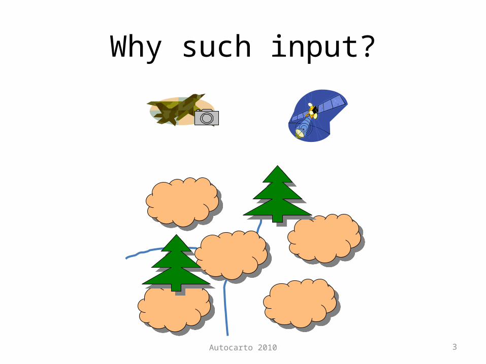
Why such input?

Autocarto 2010 4
We need connections!
Key: connection
How to reach the ocean?
Where to flood next?
My next target?

Autocarto 2010 5
Induced terrain solution framework
• Follow the constraints imposed by the given height.– No connection if a hill is
in between two river segments.
Autocarto 2010 6
Hydrological corrected terrain reconstruction
• Goal: Model the terrain based on given heights and river locations– Two strategies• General terrain reconstruction -> surface reconditioning
– General reconstruction: spine-fitting, ODETLAP, natural neighbor
– Surface reconditioning – stream burning, AGREE.aml– Software package: ANUDEM – massage the terrain so it
matches the complete river network observations
• Terrain reconstruction that is aware of river locations– Hydrology-aware ODETLAPT. Y. Lau & R. Franklin. Completing River Networks With Only Partial River
Observations via Hydrology-aware ODETLAP. In 20th Fall Workshop on Computational Geometry, Oct 29-30, 2010.

Autocarto 2010 7
Hydrological corrected terrain reconstruction - results
• Dependent on how height data are distributed, and the speed needed– Evenly-distributed height samples• Natural neighbor with stream burning often offers best
one-pass result.
– Height samples available at given river locations only (or even no height samples are available)• Hydrology-aware ODETLAP outperforms others.
T. Y. Lau & R. Franklin. Completing River Networks With Only Partial River Observations via Hydrology-aware ODETLAP. In 20th Fall Workshop on Computational Geometry, Oct 29-30, 2010.

Autocarto 2010 8
Terrain reconstruction (Evenly-distributed height samples)
Given river locations NNSB error: 2.48% SFSB error: 2.88%
OSSB error: 2.47% NN-AGREE error: 2.44% ANUDEM error: 3.82%
Original network

Autocarto 2010 9
Terrain reconstruction(Evenly-distributed height samples)

Terrain reconstruction (Evenly-distributed height samples)
• Findings– Stream burning which lowers the elevation at exactly
the river locations only offers better results than schemes that lower the neighborhood as well.
– Although complicated schemes like ODETLAP offers better result, they rely on iterative processing for optimal parameters. Natural neighbor interpolation and stream burning is the only one-pass approach known to-date that offers reasonably good results.
Autocarto 2010 11
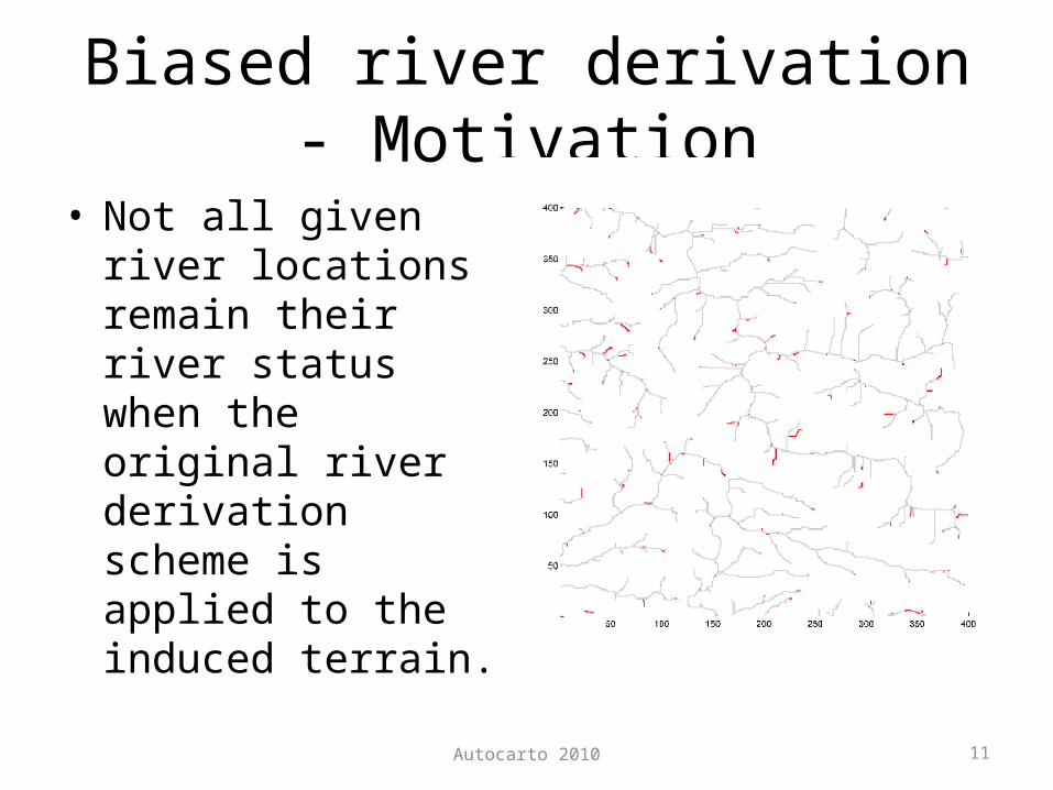
Biased river derivation - Motivation
• Not all given river locations remain their river status when the original river derivation scheme is applied to the induced terrain.

Autocarto 2010 12
Biased river derivation - Details
• Offer each given river location an initial water amount that is equal to the threshold amount.– So they become river locations even without
external water inflow• Protect them from being removed in the
subsequent skeletonization process– So they remain as river locations after the thinning
process.

Autocarto 2010 13
Biased river derivation - result
Given river locations River reconnection with biased river derivation

Conclusion – Induced terrain solution framework
Guarantee given river locations must still be river locations
Honor given river locations as local minima w.r.t. non-river locations

Autocarto 2010 15
Terrain reconstruction(height samples only at river locations)
• Typical terrain reconstruction with stream does not create inclined planes that– grow to all possible
directions– get as far away as
possible
Given river locations (with respective heights)
Reconstructed surface with typical terrain reconstruction scheme + stream burning
Desirable reconstructed surface
x
x
x
x
x
x

Autocarto 2010 16
Terrain reconstruction(height samples only at river locations)
• Chaotic connections
Given river locations (black)Missing river locations (light blue)
Reconstructed river network with NN-SB

Autocarto 2010 17
Our solution: ODETLAP
• Basic version– n2 unknowns {zi, j}– Exact equations for all the k known-height
positions– Averaging equations for all n2 positions
– Weighting between the two sets of equations

Autocarto 2010 18
Our solution: ODETLAP
• Hydrology-aware version (HA-ODETLAP)– n2 unknowns {zi, j}– Exact equations for all the k known-height
positions–Modified averaging equations for known river locs
• f = 1 if not given river location, > 1 otherwise
– Weighting between the two sets of equations

Autocarto 2010 19
HA-ODETLAP effect illustrated10
10
10
10 10 10 10
10
Given river locations and respective heights
Reconstructed terrain surface with stream burning Reconstructed terrain surface with HA-ODETLAP

Autocarto 2010 20
HA-ODETLAP
• Much better connections
Reconstructed river networkGiven river locations (black)Missing river locations (light blue)