david abernathy chair, department of global studies director...
TRANSCRIPT

2013 Specialist Meeting—Advancing the Spatially Enabled Smart Campus Abernathy—1
DAVID ABERNATHY Chair, Department of Global Studies Director of Educational Technology
Warren Wilson College Email: [email protected]
David Abernathy (Ph.D., Geography, University of Washington) serves as Chair of the Department of
Global Studies and Director of Educational Technology at Warren Wilson College in Asheville, NC.
He has been teaching courses in Geographic Information Systems and Geography at Warren Wilson
for the past ten years. From 2007–2010, he co-directed a biodiversity mapping and sensor network
project for a conservation nonprofit in Panama (CREA–Conservation through Research, Education
and Action). Funded by a $100,000 grant from the Panamanian Secretaría Nacional de Ciencia,
Tecnología e Innovación, this project focused on the development of a comprehensive GIS database
and a pilot wireless sensor network for the collection, monitoring and mapping of biodiversity data
on the 1000-acre Cocobolo Nature Reserve in Central Panama. His current work focuses on
environmental monitoring using arduino microcontrollers, inexpensive sensors and wireless radio
communication. He also co-directs a new College-wide initiative called d_SPaCE: digital scholarship,
pedagogy and collaborative education.

2013 Specialist Meeting—Advancing the Spatially Enabled Smart Campus Ahearn—1
SEAN AHEARN Department of Geography, Hunter College
The Doctoral Program in Earth and Environmental Sciences, City University of New York
Director, Center for Advanced Research of Spatial Information Email: [email protected]
Sean Ahearn (B.S. College of Environmental Science and Forestry, SUNY, Syracuse University; M.S.
and Ph.D., Environmental Remote Sensing, University of Wisconsin-Madison) is a Professor of
Geography and Director of the Center for Advanced Research of Spatial Information (CARSI) at
Hunter College-CUNY. He conducts research in both remote sensing and geographic information
systems and has published in range of journals including: the IEEE Journal of Geo-science and Remotes Sensing, the International Journal of Remote Sensing, Photogrammetric Engineering and Remote Sensing, Conservation Biology, Ecological Modeling, the American Journal of Epidemiology,
International Journal of Geoinformatics, and the International Journal for Geographic Information Science. Ahearn’s interests include agent-based models, spatial-temporal models, digital image
analysis, ecological modeling, emergency response and urban geographic systems. As Director of
CARSI, Ahearn played a major role in managing the design, development and implementation of the
digital geographic base-map for the City of New York, called NYCMap, in the 1990s and early 2000s.
NYCMap was instrumental in enabling the City of New York to respond to the 911 crisis and CARSI
helped manage the Geographic Information and Remote Sensing Systems and applications that were
developed for response and mitigation to the crisis. His role was highlighted in the History Channel’s
The Twin Towers: Rise and Fall of an American Icon, which has been featured a half dozen times a
year since 2002. He is past president of the University Consortium for Geographic Information
Science (UCGIS). He recently was appointed to the National Geospatial Advisory Committee (NGAC)
by the United States Secretary of Interior. He was an expert witness in the Larry Silverstein World
Trade Center Lawsuit (i.e., court preparation and deposition).

2013 Specialist Meeting—Advancing the Spatially Enabled Smart Campus Conner—1
STEVE CONNER Senior Campus Planner
Office of Campus Planning and Design University of California, Santa Barbara
Email: [email protected] Steve Conner (M.A., Geography with option in Rural & Town Planning, University of California, Chico)
has been at working at the Office of Campus Planning and Design at UCSB since 2008. His primary
responsibilities include working on environmental and regulatory reviews for campus development
projects including CEQA, California Coastal Act duties, and maintaining the GIS server software and
data.

2013 Specialist Meeting—Advancing the Spatially Enabled Smart Campus Cook—1
JOHN COOK Director of Sustainability
University of California, Riverside Email: [email protected]
John J. Cook (MBA in Sustainability, Presidio Graduate School; MALS, Reed College; Ph.D.
Performance Studies, Northwestern University; LEED AP BD+C with certificates in Green Business,
Green Engineering, and Green Architecture, Chicago Center for Green Technology; U.S. Fulbright
Fellow) established the Office of Sustainability at the University of California, Riverside in November
2010. Cook has published two articles in the Encyclopedia of Consumption and Waste: The Social Science of Garbage, published by Sage Publications (2012), has presented at four national
conferences, given more than a dozen public lectures, and served on more than 30 committees
including the City of Riverside Green Action Planning Committee and the Association for the
Advancement of Sustainability in Higher Education Curricular and Professional Development
Committee. In spring 2014 Cook will join the School of Public Policy as an adjunct professor offering
courses in Systems Thinking and Sustainability.

2013 Specialist Meeting—Advancing the Spatially Enabled Smart Campus Cowen—1
DAVID J. COWEN Distinguished Professor Emeritus
Former Chair, Department of Geography University of South Carolina
Email: [email protected]
David J. Cowen (B.A. and M.A., Geography, State University of New York at Buffalo; Ph.D.,
Geography, The Ohio State University) is currently a Distinguished Professor Emeritus and former
chair of the Department of Geography at the University of South Carolina. While an active faculty
member, he started one of the first academic GIS programs, and advised 14 Ph.D. and 47 M.A.
students to completion of their degrees. Cowen also directed the college computer center for 22
years, and served as interim university vice president for computing. In addition to his university
activities, Cowen is a former Chair of the National Geospatial Advisory Committee. He also chaired
the Mapping Science Committee of the National Research Council for six years, was a member of the
NRC Board on Earth Sciences and Resources and chaired the NRC Study Committee “Land Parcel
Databases: A National Vision.” Cowen served as the first elected president of the AAG GISS specialty
group, and was one of the cofounders of UCGIS. He has also served as the President of the
Cartography and Geographic Information Society (CaGIS). Over the years, Cowen has received many
awards for his work. These include an ESRI Lifetime Achievement Award, the State of South Carolina
Governor’s Information Resource Council Distinguished Service Award, election as a Fellow of the
ACSM and the appointment as a National Associate of the National Academies of Science. In 2012
he received the Aangeenbrug Distinguished Career Award sponsored by the AAG GISS Specialty
Group and was named a Fellow of the UCGIS.

2013 Specialist Meeting—Advancing the Spatially Enabled Smart Campus Crampton—1
JEREMY W. CRAMPTON Associate Professor
Department of Geography The New Mappings Collaboratory
University of Kentucky Email: [email protected]
Jeremy W. Crampton (M.S. and Ph.D., Geography, Penn State) is Associate Professor of Geography
at the University of Kentucky, where he has been since 2011. He previously held positions at Georgia
State University and George Mason University. Crampton is the author of Mapping—A Critical Introduction to Cartography and GIS (Wiley-Blackwell, 2010) which provides an introduction to critical
GIS and cartography. At UK he co-founded the “New Mappings Collaboratory” (New Maps) with
Matthew Zook and Matthew Wilson. The goal of New Maps is to form an interdisciplinary research
cluster focused on new forms of geotechnology. We are developing a new GIS Certificate, as well as
increasing our online GIS capabilities, which will result in an online GIS Certificate available for both
UK and non-UK students. New Maps also has an ongoing interest in self-enabled digital mappings,
and has worked with the Public Laboratory to perform balloon and drone (quadcopter) mapping
across campus. We are very interested in thinking through the next generation campus in the era of
the “Internet of everything” to produce a more sustainable campus environment.

2013 Specialist Meeting—Advancing the Spatially Enabled Smart Campus Fu—1
JENNIFER FU Founding Director, Geographic Information Systems Center
Founding/Former Director, Certificate Program of GIS Courtesy Professor, Department of Earth and Environmental Sciences
Florida International University Email: [email protected]
Zhaohui (Jennifer) Fu (B.A., English Language and Literature, Beijing University; M.A. Information
Science, State University of New York at Albany) has been the founding director of the Florida
International University Geographic Information Systems (GIS) Center (http://gislab.fiu.edu) since
1998, and a founding director of the Certificate Program in GIS at FIU since 2003. She is the courtesy
professor at Earth and Environmental Department at FIU. Recently, Fu was also appointed as the
Head of the Library’s Digital Collections Center. She is the Principal Investigator and Co-PI of 31
federal, state, and locally funded projects, including the Metropolitan Planning Organization funded
“Bicycle Route Planner” (http://maps.fiu.edu/mpobike/) and “Transportation Outreach Planner”
(http://mpotransportationoutreachplanner.org/). She has already received FIU internal and
Technology Fee grants in development of a library Resource Locator, and mapping FIU’s footprints in
the community. Her two main areas of interest are applied geospatial web development for
community and transportation planning, and geo-spatial enabled digital library system for better
discovery of local historical and cultural assets.
2013 Specialist Meeting—Advancing the Spatially Enabled Smart Campus Goodchild—1
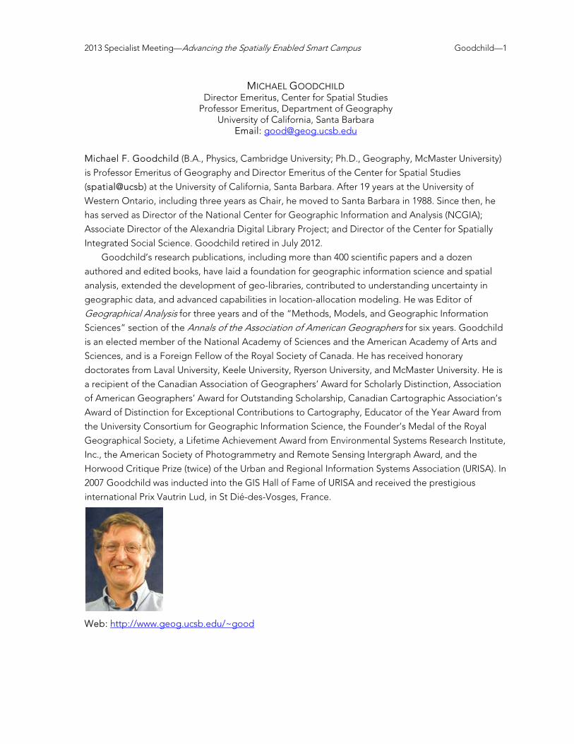
MICHAEL GOODCHILD Director Emeritus, Center for Spatial Studies
Professor Emeritus, Department of Geography University of California, Santa Barbara
Email: [email protected]
Michael F. Goodchild (B.A., Physics, Cambridge University; Ph.D., Geography, McMaster University)
is Professor Emeritus of Geography and Director Emeritus of the Center for Spatial Studies
(spatial@ucsb) at the University of California, Santa Barbara. After 19 years at the University of
Western Ontario, including three years as Chair, he moved to Santa Barbara in 1988. Since then, he
has served as Director of the National Center for Geographic Information and Analysis (NCGIA);
Associate Director of the Alexandria Digital Library Project; and Director of the Center for Spatially
Integrated Social Science. Goodchild retired in July 2012.
Goodchild’s research publications, including more than 400 scientific papers and a dozen
authored and edited books, have laid a foundation for geographic information science and spatial
analysis, extended the development of geo-libraries, contributed to understanding uncertainty in
geographic data, and advanced capabilities in location-allocation modeling. He was Editor of
Geographical Analysis for three years and of the “Methods, Models, and Geographic Information
Sciences” section of the Annals of the Association of American Geographers for six years. Goodchild
is an elected member of the National Academy of Sciences and the American Academy of Arts and
Sciences, and is a Foreign Fellow of the Royal Society of Canada. He has received honorary
doctorates from Laval University, Keele University, Ryerson University, and McMaster University. He is
a recipient of the Canadian Association of Geographers’ Award for Scholarly Distinction, Association
of American Geographers’ Award for Outstanding Scholarship, Canadian Cartographic Association’s
Award of Distinction for Exceptional Contributions to Cartography, Educator of the Year Award from
the University Consortium for Geographic Information Science, the Founder’s Medal of the Royal
Geographical Society, a Lifetime Achievement Award from Environmental Systems Research Institute,
Inc., the American Society of Photogrammetry and Remote Sensing Intergraph Award, and the
Horwood Critique Prize (twice) of the Urban and Regional Information Systems Association (URISA). In
2007 Goodchild was inducted into the GIS Hall of Fame of URISA and received the prestigious
international Prix Vautrin Lud, in St Dié-des-Vosges, France.
Web: http://www.geog.ucsb.edu/~good

2013 Specialist Meeting—Advancing the Spatially Enabled Smart Campus Gould—1
MICHAEL GOULD Global Education Manager, Esri
Associate Professor, Information Systems, University Jaume I Email: [email protected]
Michael Gould (B.A., Geography/GIS, University of Massachusetts; Ph.D., University at Buffalo,
NCGIA) is Global Education Manager for Esri Inc., and Associate Professor of Information Systems at
University Jaume I in Spain.
In the first role Gould manages GIS education projects in collaboration with 84 Esri distributors
around the world, as well as with universities and education ministries, and start-up hubs. These
projects include administrative use of GIS for Smart Campus projects. In his second role he has been
teaching GIS since 1999 and managing EU-funded research projects. He is co-founder of the (EU)
Erasmus Mundus-funded Master of Science in Geospatial Technologies, as well as the Vespucci
Initiative on GI Science (www.vespucci.org).
Publications can be found via Google Scholar, searching “Michael Gould GIS.”

2012 Specialist Meeting—Thinking Spatially Across the College Curriculum Hegarty—1
MARY HEGARTY Director, Center for Spatial Studies
Professor, Department of Psychological and Brain Sciences University of California, Santa Barbara
Email: [email protected]
Mary Hegarty (Ph.D., Carnegie Mellon University) researches spatial thinking in complex activities
such as comprehension, reasoning and problem solving. In research on mechanical reasoning and
interpretation of graphics, she uses eye-fixation data to trace the processes involved in
understanding visual-spatial displays (diagrams, graphs, and maps), and making inferences from
these displays. A unique characteristic of her research is that she studies spatial thinking from the
perspective of individual differences as well as employing more commonly used experimental
methods. In her work on individual differences, she studies large-scale spatial abilities involved in
navigation and learning the layout of environments, as well as smaller-scale spatial abilities involved
in mental rotation and perspective taking. Her current research projects include understanding the
roles of internal and external visualizations in reasoning about physical systems including molecules,
machines, and meteorological phenomena and the use of visualization versus analytic problem
solving strategies in scientific problem solving.
Hegarty is a fellow of the American Psychological Society, a former Spencer Postdoctoral Fellow,
and is the past chair of the Cognitive Science Society. She is Associate Editor of TopiCS in Cognitive Science and is on the editorial board of Journal of Experimental Psychology: Learning, Memory and Cognition, Journal of Educational Psychology, Learning and Individual Differences, and Spatial Cognition and Computation. Her current research is funded by the National Science Foundation.
Web: http://www.psych.ucsb.edu/people/faculty/hegarty/index.php

2013 Specialist Meeting—Advancing the Spatially Enabled Smart Campus Huerta—1
JOAQUÍN HUERTA Associate Professor, Department of Information Systems
University Jaume I of Castellón Email: [email protected]
Joaquín Huerta (B.A. and M.A.s, Computer Science and CAD/CAM, Politechnical University of
Valencia; Ph.D., Computer Science, Jaume I University) is an associate professor at the Department of
Information Systems at University Jaume I of Castellón in Spain, where he teaches several courses
related to GIS and Internet Technologies.
Huerta’s current research interests are smart cities, gamification, VGI, sensors, mobile and web
GIS applications, augmented reality, and 3D GIS. He is the head of the GEOTEC Research Group
(http://www.geotec.uji.es), director of the Master of Science in Geospatial Technologies degree
program (http://mastergeotech.info), run jointly with the universities of Münster (Germany) and Nova
de Lisboa (Portugal) funded by Erasmus Mundus program. He is also director of the Joint Doctoral
Program on Integration of Geospatial Information.
He is and has been principal investigator for several important research projects including EU
projects as EUROGEOSS (FP7) and ERMES (FP7) and also national and regional projects. He has
published several journal articles and international conference papers.
Huerta is an elected member of the Council of AGILE: the Association of Geographic Information
Laboratories for Europe (http://www.agile-online.org). He has participated actively in the organization
of several events and conferences as EuroGEOSS 2012 Conference (http://eurogeoss2012.eu/) where
he was chair of the organizing committee. He is also the chair of the program committee for the 17th
AGILE Conference on Geographic Information Science hosted by the University Jaume I in June 2014
(http://www.agile-online.org/index.php/conference/conference-2014).
In addition to his academic activities, Huerta is founding board member of several IT companies
as the university spin-off Ubik Geospatial Solutions (http://www.ubikgs.com) and, thus, possesses
considerable business experience as well as experience in systems integration

2013 Specialist Meeting—Advancing the Spatially Enabled Smart Campus Hurt—1
INDY HURT Research Coordinator
Apple Inc. Email: [email protected]
Indy Hurt (Ph.D. Geography from the University of California, Santa Barbara) is a research coordinator
for the Maps team at Apple. She focuses on a variety of base map content and associated
documentation.
Hurt has authored GIS workshop materials for Esri, and has published GIS course materials with
Prentice Hall. While pursuing her Ph.D., she received a teaching award from the UCSB Academic
Senate, the David S. Simonett Memorial Award for her service to the department and the disciple of
geography, the Jack and Laura Dangermond Graduate Fellowship in support of her research, and the
Peter A. Burroughs Award presented at the Vespucci Institute on Volunteered Geographic
Information.

2013 Specialist Meeting—Advancing the Spatially Enabled Smart Campus Jablonski—1
JON JABLONSKI Department Head, Map and Imagery Laboratory
Davidson Library University of California, Santa Barbara
Email: [email protected]
Jon Jablonski is a librarian and geographer. He is the head of the Map & Imagery Laboratory at the
UCSB Library. At UCSB, and previously at the University of Oregon, the map libraries serve as a
spatial data center for campus. The physical collections of maps and photographs are controlled and
organized through a variety of information systems. Ultimately these are arranged twice spatially: first
as to how the materials relate to the surface of the earth; second as a large mass of physical and
digital objects that must be managed as artifacts.
In his research, Jablonski studies how people form Information Places--informal, ad hoc grounds
for information seeking and transfer. He is currently attempting to insert these ideas into the
implementation of a large new library building. Most specifically, he observes how mobile
communications technologies allow more independent travel among Chinese youth, ultimately
leading to more personal freedom and political friction.

2013 Specialist Meeting—Advancing the Spatially Enabled Smart Campus Janelle—1
DONALD G. JANELLE Program Director, Center for Spatial Studies
University of California, Santa Barbara Professor Emeritus, Geography
Western University (Canada) Email: [email protected]
Donald Janelle (Ph.D., Geography, Michigan State University) is a Research Professor at the
University of California, Santa Barbara and Professor Emeritus at Western University (aka University of
Western Ontario). He serves as Program Director for UCSB’s Center for Spatial Studies and Center for
Spatially Integrated Social Science (CSISS). He was on the faculty of the U.S. Air Force Academy for
four years and of the University of Western Ontario for 30 years. He chaired Western’s Department of
Geography and served as Assistant vice Provost. He edited The Canadian Geographer, the official
refereed journal of the Canadian Association of Geographers, and chaired the Publications
Committee for the Association of American Geographers (AAG). He is a recipient of the Edward L.
Ullman Award for Career Contributions to Transportation Geography and the Ronald F. Abler Honors
Award for Distinguished Service from the AAG. Janelle has authored more than 120 journal articles
and book chapters, and has co-edited five books. The three most recent include: Information, Place, and Cyberspace: Issues in Accessibility; WorldMinds: Geographical Perspectives on 100 Problems;
and Spatially Integrated Social Science. Janelle’s research and publications are based broadly within geography and affiliated social and
behavioral sciences. Primary themes include space-time analyses of individual behavior, the time-
geography of cities, the temporal-spatial ordering of social systems, locational conflict analysis, social
issues in transportation, and the role of space-adjusting technologies in structuring new patterns of
social and economic organization. This work aligns with perspectives on smart cities/smart campuses,
especially in conceptualizing the transformative roles of new technologies on human behavior and
the functioning of human built environments.
For more information, please see: http://www.spatial.ucsb.edu/janelle.

2013 Specialist Meeting—Advancing the Spatially Enabled Smart Campus Karaffa—1
BRYAN KARAFFA Computer Network Technician
Department of Geography University of California, Santa Barbara
Email: [email protected] Bryan Karaffa (B.A., Geography, University of California, Santa Barbara) is a Computer and Network
Technician in the UCSB Geography Department and is the current project lead for the UCSB
Interactive Campus Map (http://map.geog.ucsb.edu/).
Before coming to the Geography Department Karaffa’s experience managing server
infrastructures, developing spatially enabled web applications, working with spatially-enabled
databases, programming APIs and interoperability components, and working with space/time data,
which led to his role in the development of the UCSB Interactive Campus Map (ICM) into the complex
application it is today.
Karaffa also has been successful in using the ICM project as a teaching tool for undergraduate
and graduate level students. The application provides a virtually endless list of possible
improvements, which students can suggest, develop, and publish with support and coordination from
his team and resources. Many students have volunteered and contributed directly to the ICM—some
have built their careers around their experiences. The students are motivated because they are
contributing to something that really doesn’t exist for UCSB yet—there isn’t another map of the
campus that has the interactive capabilities or the functionality that the UCSB ICM provides. He
continues to coordinate with the Chancellor’s Office to work toward its adoption as the official map
for UCSB.

2013 Specialist Meeting—Advancing the Spatially Enabled Smart Campus Keßler—1
CARSTEN KEßLER Assistant Professor, Geographic Information Science
Department of Geography Hunter College
City University of New York Associate Director, Center for Advanced Research of Spatial Information
Email: [email protected] Carsten Keßler (Ph.D., Geoinformatics, University of Münster) is an assistant professor for geographic
information science at the Department of Geography at Hunter College , City University of New York.
He is also associate director of the Center for Advanced Research of Spatial Information. Before
joining Hunter College in fall 2013, he worked at Institute for Geoinformatics, University of Muenster,
Germany, where he finished his PhD on context-aware semantics-based information retrieval in 2009.
In the semantic interoperability lab, he used to coordinate the Linked Open Data University of
Muenster (LODUM) project and lead a 2-year project on Linked Data for eScience Services funded by
the German Research Foundation. He has also been co-organizing the Linked Science workshop
series and he is a consultant for the United Nations Office for the Coordination of Humanitarian
Affairs in the development of the Humanitarian eXchange Language.
Web: http://carsten.io
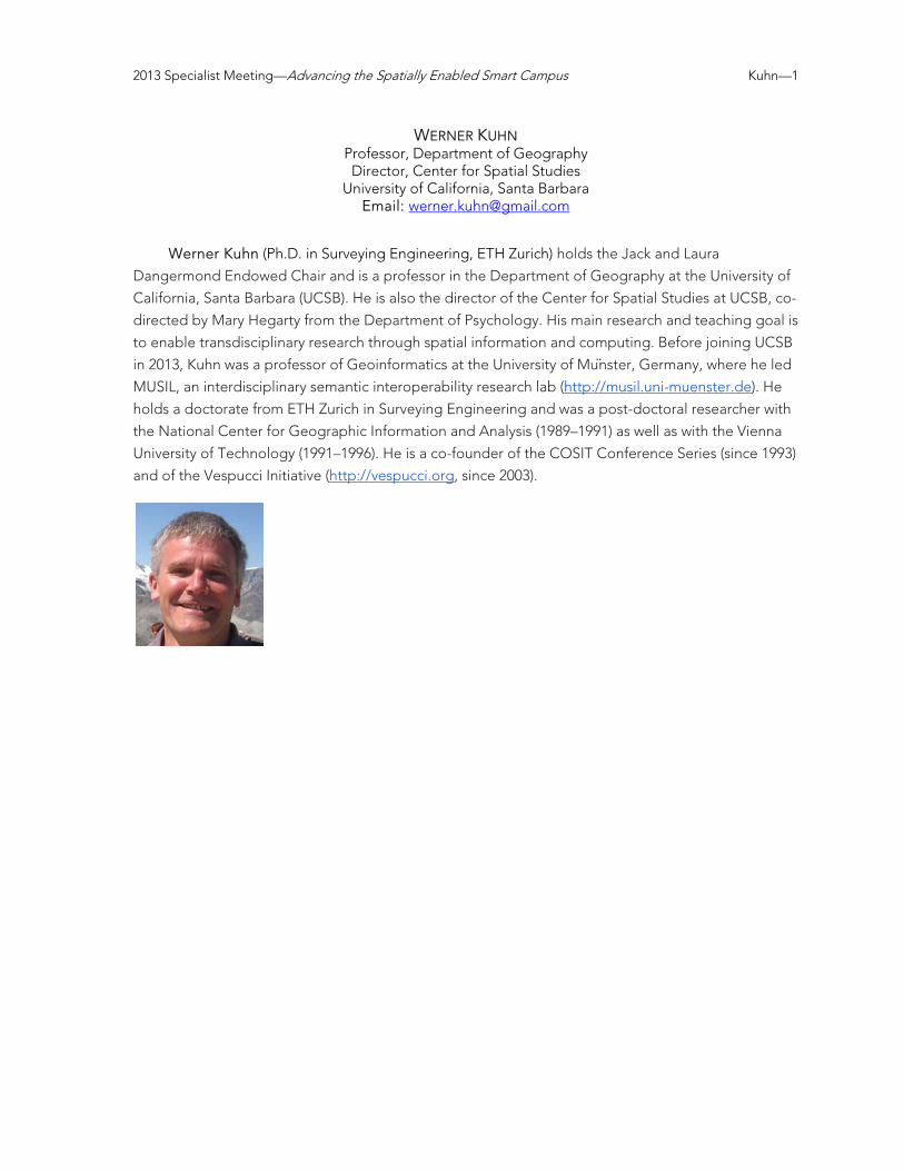
2013 Specialist Meeting—Advancing the Spatially Enabled Smart Campus Kuhn—1
WERNER KUHN Professor, Department of Geography Director, Center for Spatial Studies
University of California, Santa Barbara Email: [email protected]
Werner Kuhn (Ph.D. in Surveying Engineering, ETH Zurich) holds the Jack and Laura
Dangermond Endowed Chair and is a professor in the Department of Geography at the University of
California, Santa Barbara (UCSB). He is also the director of the Center for Spatial Studies at UCSB, co-
directed by Mary Hegarty from the Department of Psychology. His main research and teaching goal is
to enable transdisciplinary research through spatial information and computing. Before joining UCSB
in 2013, Kuhn was a professor of Geoinformatics at the University of Mu ̈nster, Germany, where he led
MUSIL, an interdisciplinary semantic interoperability research lab (http://musil.uni-muenster.de). He
holds a doctorate from ETH Zurich in Surveying Engineering and was a post-doctoral researcher with
the National Center for Geographic Information and Analysis (1989–1991) as well as with the Vienna
University of Technology (1991–1996). He is a co-founder of the COSIT Conference Series (since 1993)
and of the Vespucci Initiative (http://vespucci.org, since 2003).

2013 Specialist Meeting—Advancing the Spatially Enabled Smart Campus Lovegreen—1
MO LOVEGREEN Executive Officer, Department of Geography
Subcomittee on Sustainability University of California, Santa Barbara
Email: [email protected] Mo Lovegreen is the founding director for campus sustainability at the University of California, Santa
Barbara and is also the Executive Officer in the Department of Geography where she coordinates
with the IT staff on developing components for the Interactive Campus Map (ICM). Mo manages the
10 Sustainability Change Agent Teams/subcommittees and serves as an advisor to the Chancellor’s
Sustainability Committee and the Academic Senate Working Group on Sustainability. Mo supervised
the design, construction and "greening" of Donald Bren Hall - the first laboratory building in the
United States to achieve the U.S. Green Building Council's Leadership in Energy and Environmental
Design (LEED) Platinum rating.

2013 Specialist Meeting—Advancing the Spatially Enabled Smart Campus la Cour—1
NIELS LA COUR Senior Physical Planner, Campus Planning Division
University of Massachusetts Amherst Email: [email protected]
Niels la Cour (B.A., Environmental History, Northland College; M.A.s Landscape Architecture and
Regional Planning, University of Massachusetts Amherst) is a Senior Physical Planner in the Campus
Planning Division at the University of Massachusetts Amherst. In addition to his responsibilities as a
Campus Planner, for the past 6 years he has been promoting the development and integration of GIS
into the operations of UMass’ planning and physical plant operations. Prior to his employment with
UMass, la Cour was a Senior Planner in the Town of Amherst, MA Planning Department where he
managed the Town’s Master Planning process, working closely with the three institutions of higher
education located within the Town. He was also instrumental in creating an enterprise GIS for the
town that won an ESRI Special Achievement in GIS award in 2008. He also served on the
Massachusetts Geographic Information Advisory Council and is a past president and former board
member of the Northeast ArcInfo User Group. La Cour has been involved in GIS since the mid-1980s,
and has been an ESRI business partner, a certified trainer, and an ESRI customer for more than 25
years.

2013 Specialist Meeting—Advancing the Spatially Enabled Smart Campus Lovegreen—1
MO LOVEGREEN Executive Officer, Department of Geography
Subcomittee on Sustainability University of California, Santa Barbara
Email: [email protected] Mo Lovegreen is currently the Executive Officer in the Department of Geography and serves on the
campus Subcommittee on Sustainability, which is charged with crafting the Campus Sustainability
Plan. Mo is the founder of UCSB’s Virtual Office of Sustainability and created the Central Campus
Sustainability Committee and the Sustainability Working Team. These groups crafted indicators for
the campus and implemented sustainability changes in Facilities Management, Purchasing, and
Education and Outreach.
From its inception until its tenth anniversary, Lovegreen served as the Assistant Dean for Planning
and Administration at the Donald Bren School of Environmental Science and Management. She
supervised the design, construction, and “greening” of Donald Bren Hall—the first laboratory
building in the United States to achieve the U.S. Green Building Council’s LEED™ Platinum Award.

2013 Specialist Meeting—Advancing the Spatially Enabled Smart Campus Nelson—1
JAMES NELSON Director of Planning Resources
Department of Harvard Planning and Project Management Harvard University
Email: [email protected] James Nelson (B.S., Geological Engineering, Colorado School of Mines; M.S., Spatial Information
Engineering, University of Maine Orono; M.S., Economic Geology, University of Arizona) is Director of
Planning Resources in the Department of Harvard Planning and Project Management. He has been at
Harvard University since 1998. His Harvard career started as the CAD\GIS Manager supporting
University Commercial and Residential Real Estate and University-wide physical planning. In his
current position Nelson is responsible for the University’s Geographic Information System, Space
Information System, and construction documentation. Current opportunities being pursued by his
group include the integration of space information with the GIS, exploring the potential of building
information models, 3D and 4D modeling, and integration of geographic and space information with
the HR, the facility conditions and the fixed assets systems
Nelson’s capstone project while attending the University of Maine dealt with optimization of
allocation of parking spaces to meet municipal zoning requirements. He was also responsible for
setting up the first version of the State of Maine PEARL website for the distribution of lake water
quality information, which included an interactive map interface for locating lakes. In addition, he
consulted for municipalities in Maine developing GIS tools.
Nelson got his start in GIS in the early 1990s while working for Broken Hill Proprietary as an
exploration geologist using it for geochemical surveys, spatial analysis, and image processing for
copper exploration in Arizona and northern Mexico. At the time he also received an M.S. in Economic
Geology from the University of Arizona. His thesis was on the spatial distribution of trace elements
around porphyry copper systems.
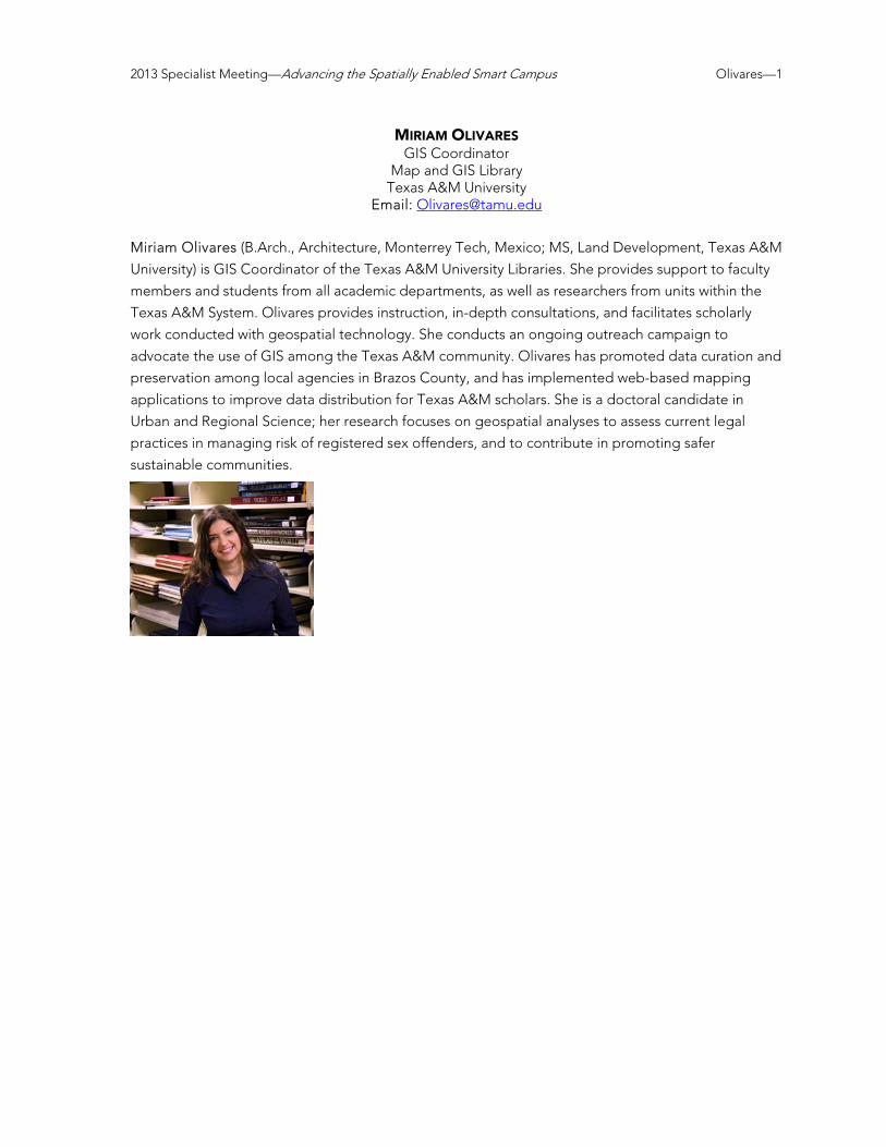
2013 Specialist Meeting—Advancing the Spatially Enabled Smart Campus Olivares—1
MIRIAM OLIVARES GIS Coordinator
Map and GIS Library Texas A&M University
Email: [email protected]
Miriam Olivares (B.Arch., Architecture, Monterrey Tech, Mexico; MS, Land Development, Texas A&M
University) is GIS Coordinator of the Texas A&M University Libraries. She provides support to faculty
members and students from all academic departments, as well as researchers from units within the
Texas A&M System. Olivares provides instruction, in-depth consultations, and facilitates scholarly
work conducted with geospatial technology. She conducts an ongoing outreach campaign to
advocate the use of GIS among the Texas A&M community. Olivares has promoted data curation and
preservation among local agencies in Brazos County, and has implemented web-based mapping
applications to improve data distribution for Texas A&M scholars. She is a doctoral candidate in
Urban and Regional Science; her research focuses on geospatial analyses to assess current legal
practices in managing risk of registered sex offenders, and to contribute in promoting safer
sustainable communities.

2013 Specialist Meeting—Advancing the Spatially Enabled Smart Campus Phillips—1
JOSEPH PHILLIPS Director, Smarter Buildings / Smarter Cities
IBM Global Business Services Email: [email protected]
Joseph Phillips (B.A., Chemistry, Bucknell University; M.A. Architecture, University of Colorado;
M.B.A., Finance, NYU’s Stern School of Business) is the business leader for IBM’s Smarter Buildings
and Cities initiative with Global Business Services. He is responsible for developing the strategy and
business value propositions for new products and service offerings. He works directly with customers
to understand their challenges, and convert these to solutions of value that combine IBM and partner
assets.
With IBM, Phillips leads the early development and adoption of advanced data acquisition and
analytics for infrastructure to enhance the efficiency and performance of buildings and facility
organizations. His primary activities result in significant improvements in energy efficiency, reduced
environmental footprint, and workforce transformation for facilities operations and management.
Phillips has a successful track record of more than 25 years in the development and delivery of
innovative services and solutions for high performance buildings, campuses, and cities. He has been
at the forefront of sustainability and energy efficiency. Phillips is a registered architect and is a
recognized expert in design for complex mission critical facilities. He is a member of the American
Institute of Architects, the Association of Energy Engineers and the International Facility Management
Association.

2013 Specialist Meeting—Advancing the Spatially Enabled Smart Campus Potapenko—1
JOHN POTAPENKO Graduate Student, Department of Geography
University of California, Santa Barbara Email: [email protected]
John Potapenko (B.A., Astrophysics, UC Berkeley) is working toward his M.A./Ph.D. degree in
Geography at the University of California, Santa Barbara. His research combines remote sensing, GIS,
high performance computing and programming in a variety of domains. His current project makes
use of raw point cloud lidar data to perform high-resolution topographic analysis around the Channel
Islands and Santa Barbara areas. He is also working with the National Center for Ecological Analysis
and Synthesis (NCEAS) to globally map cumulative anthropogenic impacts on the world's oceans.

2013 Specialist Meeting—Advancing the Spatially Enabled Smart Campus Pultar—1
EDWARD PULTAR President, Founder, Spatial Scientist
Valarm Email: [email protected]
www.valarm.net Edward Pultar (B.A.s, Geography and Computer Science, minor in Math, University of Utah; Ph.D.,
University of California, Santa Barbara). While working toward his Ph.D., Pultar was awarded the Jack
and Laura Dangermond GIS Fellowship and interned at Google, where he worked on the Google
Earth product. Immediately after receiving his Ph.D. he spent a year in Spain as a visiting professor of
GIS for the Erasmus Mundus program at Universitat Jaume I, where he taught technology courses in
both English and Spanish.
In 2012, with his brother Lorenzo, Pultar founded Valarm. Valarm is an app compatible with a
variety of sensors along with an integrated website for remote environmental monitoring, mobile
data acquisition, and asset/vehicle tracking. He also teaches as a lecturer at USC’s Spatial Sciences
Institute.

2013 Specialist Meeting—Advancing the Spatially Enabled Smart Campus Ramasubramanian—1
LAXMI RAMASUBRAMANIAN Director, Urban Sustainability Extension Service
Associate Professor of Urban Planning and Design Hunter College, City University of New York
President, University Consortium for Geographic Information Science Email: [email protected]
Laxmi Ramasubramanian (B. Arch., University of Madras, India, M. Arch., Anna University, India; MCP,
Massachusetts Institute of Technology; Ph.D., University of Wisconsin-Milwaukee), an architect and
urban planner by training, is an Associate Professor of Urban Planning and Design at Hunter College,
CUNY and a member of the doctoral faculties in Earth and Environmental Sciences and
Environmental Psychology at the CUNY Graduate Center. She directs the newly created Urban
Sustainability Extension Service (USES) a community-university partnership program focused on
solving contemporary problems using evidence-based research. USES emphasizes participatory
planning, low cost interventions, and highly customized solutions that are carefully aligned to address
stakeholders’ needs and interests. Ramasubramanian has recently been appointed Deputy Director
of the CUNY Institute for Sustainable Cities.
Ramasubramanian has an active research program in the area of participatory planning using
digital technologies, focusing on engaging a variety of community stakeholders in solving complex
problems. She is completing work on a federally funded project about visualizing travel behavior and
mobility barriers of low income people. Her experiences with field work have moved her to consider
the ethical implications of using volunteered geographic information and theoretical considerations
of citizenship and civic engagement.
She has published a book, Geographic Information Science and Public Participation, 2010,
Springer-Verlag, and more than 20 peer reviewed articles and book chapters, in addition to more
than 20 conference proceedings papers and technical reports. She has received more than $ 2 Million
in research funding from federal, city/state agencies and private foundations. Ramasubramanian is
very active in several professional communities of practice. She is a registered architect in her home
country, India, a certified urban planner (AICP) in the United States, a member of the Visualization in
Transportation Committee of the Transportation Research Board of the National Academies, and a
member of the editorial board of Transactions in GIS. Ramasubramanian is also President of the
University Consortium for Geographic Information Science, an alliance of more than 65 universities,
government, and industry affiliates focused on advancing research and education in geographic
information science.

2013 Specialist Meeting—Advancing the Spatially Enabled Smart Campus Roche—1
STÉPHANE ROCHE Professor, Geographical Information Sciences
Université Laval Email: [email protected]
Engineer and Geographer, Stéphane Roche is a professor of Geographical information sciences
at Université Laval in Québec City, Canada where he teaches GIS and spatial analysis (undergraduate
and graduate) and Geographical Information Society (graduate). Roche has been an associate
professor of Geography at the University of Angers (France) and a Research fellow at the French
CNRS for five years. Since his move to Québec, he chaired the department of geomatics sciences,
has been the director of the Center for Research in Geomatics and more recently the Acting scientific
director of the GEOIDE Network of Centers of Excellence. Roche has extensively worked on the
social dimensions of GIS, Public Participation GIS (PPGIS), Volunteered Geographic Information (VGI)
and Geodesign. He is especially interested in exploring the role of social geolocation (LBSN), open
data and crowdsourcing to support the implementation and operation of smart city concepts. He is
currently involved in the development of a living lab focused on the issue of smart city and
civic engagement.
Roche is a research affiliate to the MIT Senseable City Lab and Honorary Principal Fellow to
the Department of Infrastructure Engineering at the University of Melbourne. For further
details: stephane-roche.scg.ulaval.ca

2013 Specialist Meeting—Advancing the Spatially Enabled Smart Campus Schöning—1
JOHANNES SCHÖNING Assistant Professor, Computer Science
Adjunct group-leader HCI research, Expertise Centre for Digital Media (EDM) Hasselt University, Belgium
Visiting Lecturer, University College London Email: [email protected]
Johannes Schöning is a professor of computer science with a focus on HCI at Hasselt University,
working within the Expertise centre for Digital Media (EDM)—the ICT research Institute of Hasselt
University. In addition, he is a visiting lecturer at UCL London within the Intel Collaborative Research
Institute for Sustainable Cities.
Previously, Schöning worked in industry and at the Innovative Retail Laboratory of the German
Research Centre for Artificial Intelligence (DFKI) in Saarbrücken. During his time at DFKI, he received
a Ph.D. in Computer Science at Saarland University (2010) and an M.A. in Geoinformatics at the
University of Münster at the Institute for Geoinformatics (2007).
His research interests are new methods and novel mobile interfaces to navigate through spatial
information. In general, he develops, designs and tests user interfaces that help people to solve daily
tasks more enjoyable and/ or effectively. This includes the development of mobile augmented reality
applications, interactive surfaces and tabletops and other “post desktop” interfaces. His research and
work was awarded with several prices and awards, such as the ACM Eugene Lawler Award or the
Vodafone Research Award for his Ph.D. In addition, Schöning served as a junior fellow of
“Gesellschaft für Informatik.”
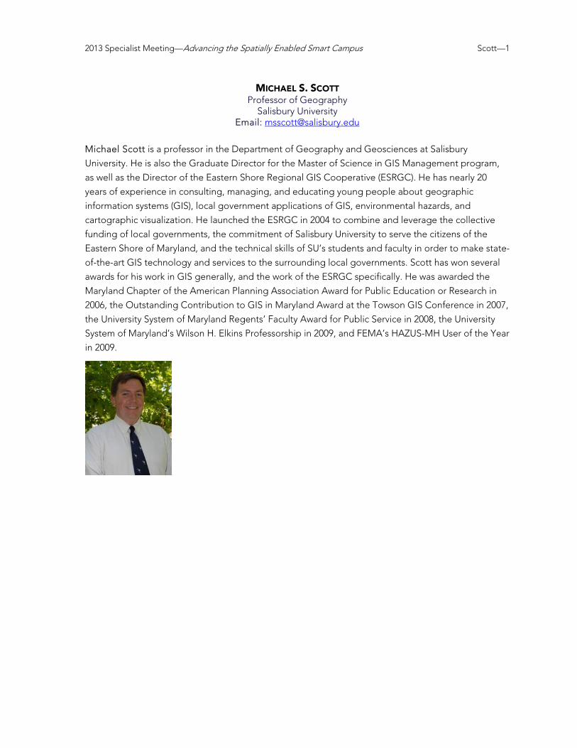
2013 Specialist Meeting—Advancing the Spatially Enabled Smart Campus Scott—1
MICHAEL S. SCOTT Professor of Geography
Salisbury University Email: [email protected]
Michael Scott is a professor in the Department of Geography and Geosciences at Salisbury
University. He is also the Graduate Director for the Master of Science in GIS Management program,
as well as the Director of the Eastern Shore Regional GIS Cooperative (ESRGC). He has nearly 20
years of experience in consulting, managing, and educating young people about geographic
information systems (GIS), local government applications of GIS, environmental hazards, and
cartographic visualization. He launched the ESRGC in 2004 to combine and leverage the collective
funding of local governments, the commitment of Salisbury University to serve the citizens of the
Eastern Shore of Maryland, and the technical skills of SU’s students and faculty in order to make state-
of-the-art GIS technology and services to the surrounding local governments. Scott has won several
awards for his work in GIS generally, and the work of the ESRGC specifically. He was awarded the
Maryland Chapter of the American Planning Association Award for Public Education or Research in
2006, the Outstanding Contribution to GIS in Maryland Award at the Towson GIS Conference in 2007,
the University System of Maryland Regents’ Faculty Award for Public Service in 2008, the University
System of Maryland’s Wilson H. Elkins Professorship in 2009, and FEMA’s HAZUS-MH User of the Year
in 2009.

2013 Specialist Meeting—Advancing the Spatially Enabled Smart Campus Sivakumar—1
RAMACHANDRA SIVAKUMAR Research Engineer
Center for GIS Georgia Institute of Technology
Email: [email protected] Ramachandra Sivakumar (Siva) (B.S., Civil Engineering, University of Madras, India; M.S., GIS
specialization, Georgia Institute of Technology; M.S., Civil Engineering, University of Mississippi) is a
Research Engineer at the Center for Geographic Information Systems (CGIS), Georgia Institute of
Technology. He is a Certified GIS Professional and a former ESRI certified instructor.
He has more than 16 years of comprehensive experience in GIS and Information Technology. His
expertise includes web-based GIS application design and development, network management,
database management, and system administration. At CGIS, Siva is involved in a variety of research
projects apart from his primary role of system, network, and IT administration. Recent projects include
developing new routing methodology to find the optimal walking path in the city of Atlanta based on
user preferences, design and development of a GIS based tree inventory and management system
for Georgia Tech, GIS based modeling and quantifying ecological benefits of trees and other green
infrastructure for campus, GIS support for stormwater master plan and blackwater feasibility study for
campus and developing a core campus wide GIS database and applications. Past projects include
GIS database for the Annie E. Casey Foundation, developing a GIS framework for MEAG Power’s
Location Georgia group, and developing an enterprise GIS plan for the City of Albany, Georgia. He
was a contributor in City of Atlanta’s early Enterprise GIS implementation efforts. He played a vital
role in the development and operation of Georgia GIS Data Clearinghouse, a spatial data repository
for the State of Georgia. Siva implemented the first National Spatial Data Infrastructure (NSDI) node
in Georgia. He has provided GIS research support for various ongoing projects supported by
National Center for Earthquake Engineering Research (NCCER), National Science Foundation (NSF),
and Mid America Earthquake Center (MAEC) and other sponsors. In addition, Siva administers the
ESRI GIS software program, the ESRI Education Development Center (EDC) for Georgia Tech, and
the ERDAS GAHEAK software for the University system of Georgia (USG). He is a member of the
Georgia chapter of Urban and Regional Information Systems Association
(GAURISA), GIS Certification Institute (GISCI) review and oversight committee,
volunteer with GISCorps, and a member of Crisis Mappers Standby Taskforce.
His research interests include: enterprise GIS design, development,
implementation and integration of GIS theory, methods and tools in vertical
domains, Web GIS applications and system development. Facilitate GIS
technology’s reach across Georgia Tech academic, research, and service units as
a GIS software administrator. Geospatial business intelligence and location
analytics research applications.

2013 Specialist Meeting—Advancing the Spatially Enabled Smart Campus Skupin—1
ANDRÉ SKUPIN Professor, Department of Geography
San Diego State University Email: [email protected]
André Skupin (Ph.D., University at Buffalo) is a Professor of Geography at San Diego State University.
Areas of interest and expertise include geographic visualization, visual data mining, information
visualization, and spatio-temporal modeling. Skupin’s work has been strongly interdisciplinary, aimed
at increased cross-fertilization between geography, information science, and computer science. It has
been published in such diverse outlets as the Proceedings of the National Academy of Sciences,
PLoS ONE, the Journal of Informetrics, and Pervasive and Mobile Computing. Aside from developing
new methods for analyzing human mobility, demographic change, and environmental sensor data in
n-dimensional attribute space, much of his research has addressed the question of how knowledge
artifacts can be conceptualized and visualized. His approaches combine natural language processing
and intense computation with geographic principles and cartographic techniques and have been
applied to varied data sets, ranging from thousands of ICU medical records to tens of thousands of
conference abstracts and more than two million biomedical publications. Sources of funding for these
efforts have included NSF, NIH, the White House Office of National Drug Control Policy (ONDCP),
and others.
Skupin’s creative works are on permanent display at NSF headquarters in Washington, D.C., and
at the Institute for Research Information and Quality Assurance, Bonn, Germany. Recent exhibition
venues have included the Keck Center Gallery at the National Academy of Sciences, the Mundaneum
in Mons, Belgium, and University College Dublin.
Skupin currently is a partner and advisory board member within the World Resources Simulation
Center (http://www.wrsc.org/), serves on an advisory panel for the San Diego Association of
Governments (SANDAG), and coordinates the Esri Development Center at SDSU. He has served on
the advisory board of the Places & Spaces project (http://scimaps.org/) since its inception and
currently serves on the Board of Directors of the University Consortium for Geographic Information
Science (UCGIS).

2013 Specialist Meeting—Advancing the Spatially Enabled Smart Campus Stewart—1
KATHLEEN STEWART Associate Professor
Department of Geographical and Sustainability Sciences The University of Iowa
Email: [email protected] Kathleen Stewart (Ph.D., University of Maine) is an Associate Professor in the Department of
Geographical and Sustainability Sciences at the University of Iowa. Her research is in the area of
geographic information science with a particular interest in temporal GIS. This includes moving
objects research (e.g., space-time trajectory modeling and space-time scheduling) and event
modeling for dynamic GIS. Other topics of interest are spatiotemporal information retrieval, i.e.,
computational methods for automatically acquiring meaningful space-time information from text
sources, and space-time accessibility for different domains including healthcare services, as well
as geospatial semantic modeling including geospatial ontologies and their role for geographic
information system design. She is an associate editor for Computers, Environment and Urban Systems and serves on the editorial boards of The International Journal of Geographical Information Science, Transactions in GIScience, and the Journal of Spatial Information Science. She co-organized
the COSIT 2013 Workshop ‘Spatio-temporal theories and research for environmental, urban and
social sciences: Where do we stand?’ held in Scarborough, UK in September 2013, and is one of the
program co-chairs for GIScience 2014 to be held in Vienna, Austria in September 2014.

2013 Specialist Meeting—Advancing the Spatially Enabled Smart Campus Tarampi—1
MARGARET R. TARAMPI Junior Research Fellow
SAGE Center for the Study of the Mind University of California, Santa Barbara
Email: [email protected] Margaret Tarampi (Ph.D., University of Utah) is a Junior Research Fellow at the SAGE Center for the
Study of the Mind at University of California, Santa Barbara (UCSB) and a postdoctoral researcher
working with Mary Hegarty in the UCSB Department of Psychological & Brain Sciences. Her research
investigates the cognitive and neural mechanisms that underlie spatial perception and cognition in
special populations including individuals with visual impairments and spatial experts such as dancers
and architects. Her other research interests include spatial thinking, perception and action,
perspective taking, and kinesthetic imagery.
Margaret's interdisciplinary background includes a Bachelor of Architecture with minors in
Psychology and Architectural History from Carnegie Mellon University. Her interests in the effect of
architecture on human experience brought her to the American Institute of Architects in Washington
D.C. and then to the Salk Institute for Biological Studies in La Jolla CA.
Margaret’s art and design work has been displayed in exhibitions nationally and
internationally. Influenced by her psychological research, her current art work explores assumptions
and manipulations of the human perceptual system.
Website: http://margaret.tarampi.com

2013 Specialist Meeting—Advancing the Spatially Enabled Smart Campus Tulloch—1
DAVID TULLOCH Associate Director, Center for Remote Sensing and Spatial Analysis
Associate Professor, Landscape Architecture Rutgers University
Email: [email protected] David Tulloch (B.S.L.A. Kentucky; M.L.A. LSU; Ph.D. Wisconsin) is an Associate Professor of
Landscape Architecture and Associate Director of the Grant F. Walton Center for Remote Sensing
and Spatial Analysis at Rutgers, The State University of New Jersey. While at Rutgers, Tulloch served
nearly a decade as the undergraduate program director for Environmental Planning and Design. He
also holds an appointment as a member of the graduate faculty of geography. His teaching includes
project-based regional design studios, a popular environmental planning course, and a variety of GIS
courses.
Tulloch’s scholarship is built around bridging between geospatial technologies and applications
of these for the improvement of the built landscapes. With a background in landscape architecture,
his interest in campuses and outdoor spaces for learning comes naturally. Combined with his
research interest in public participatory GIS and geospatial crowdsourcing, smart campuses represent
special arenas of promise for watching this new technological application area unfold.

2013 Specialist Meeting—Advancing the Spatially Enabled Smart Campus Wallis—1
PATRICK WALLIS Facilities Practice Lead
Senior Consultant, Esri Professional Services Email: [email protected]
Patrick Wallis is a project manager with Esri, providing technical expertise in support of facilities
management, master planning, ports, and maritime projects. He is an architect and designer by
training (M.Arch, Assoc. AIA, LEED AP), as well as a certified planner (AICP) and GIS professional
(GISP), with nearly 16 years’ project experience shaping and managing the built and natural
environment. His specialties include business plan development and execution, architecting
GIS/CAFM/IWMS solutions, facilities acquisition, real estate management, municipal planning,
master planning, and Economic Analysis. Patrick leads the facilities practice within Esri Professional
services—a practice he was instrumental in creating. In this role he provides expert consulting on
complex and unique geospatial problems regarding the built environment. He also is the corporate
Facilities Solution Architect, which is a combination of content, software, and implementation
strategies. By working closely with core development, sales and business partner managers he is able
to improve and maintain this solution. As the company’s subject matter expert and technical manager
in this domain, he ensures that Esri technology and services are coordinated and leveraged to
provide practical software solutions for end users.
Wallis’ past work experience includes positions as a senior planner and portfolio manager for the
US Coast Guard (USCG), senior planner for the Town of Moraga, and US Army Corps of Engineers
officer. Prior to working at Esri, he spent almost seven years with USCG, where he was responsible
for the performance of more than $3 billion in facilities and real estate. In that position, he supervised
numerous regional strategic planning efforts including the creation and use of improvement plans,
master plans, and specific plans. He was also appointed to numerous IPTs to reengineer the Coast
Guard’s civil engineering program and was a member of the Department of Defense Real Property
Classification Panel. Wallis also serves as a member of the NBIMS US Committee (2011–present), and
the NBIMS US BIM/GIS Integration Team (2011–present).

2013 Specialist Meeting—Advancing the Spatially Enabled Smart Campus Wilson—1
JOHN P. WILSON Spatial Sciences Institute
University of Southern California Email: [email protected]
John P. Wilson (Ph.D., University of Toronto, 1986) is Professor of Spatial Sciences and Sociology in
the Dana and David Dornsife College of Letters, Arts and Sciences at the University of Southern
California where he directs the Spatial Sciences Institute as well as the Geographic Information
Science & Technology Graduate Programs, GIS Research Laboratory, and Geospatial Services Unit
that is part of the Southern California Environmental Health Sciences Center. In addition, he holds
adjunct appointments as Professor in the School of Architecture and in the Viterbi School of
Engineering’s Departments of Computer Science and Civil & Environmental Engineering. He
founded the journal Transactions in GIS (Wiley-Blackwell) in 1996 and has served as Editor-in-Chief
since its inception, is a Past-President of the University Consortium of Geographic Information
Science (2006–2007), and an active participant in the UNIGIS International Association, a worldwide
network of 12+ institutions who collaborate on the development and delivery of online geographic
information science academic programs. His research is focused on the modeling of environmental
systems and makes extensive use of GIS software tools, fieldwork, spatial analysis techniques, and
computer models. He has published more than 100 book chapters and journal articles on these topics,
including two edited volumes, Terrain Analysis: Principles and Applications (John Wiley and Sons,
2000) and the Handbook of Geographic Information Science (Blackwell Publishers, 2007).
Website: http://dornsife.usc.edu/cf/faculty-and-staff/faculty.cfm?pid=1003824