development of a gis coverage of impaired streams in texas presented by samantha hon ce 394k nov....
TRANSCRIPT

Development of a GIS Development of a GIS Coverage of Impaired Coverage of Impaired
Streams in TexasStreams in Texas
Presented byPresented bySamantha HonSamantha Hon
CE 394KCE 394KNov. 19, 2002Nov. 19, 2002

OverviewOverview
IntroductionIntroduction PurposePurpose MethodMethod Progress to-dateProgress to-date Future WorkFuture Work

IntroductionIntroduction
Clean Water Act, amended 1987Clean Water Act, amended 1987– Water bodies must be Water bodies must be “fishable and swimmable”“fishable and swimmable”
Impaired water bodies – EPA Impaired water bodies – EPA Section 303(d) Section 303(d) ListList (299 water bodies for 2002 Draft list) (299 water bodies for 2002 Draft list)

IntroductionIntroduction
Impaired water bodies – Impaired water bodies – TMDLsTMDLs (Total Maximum Daily Load)(Total Maximum Daily Load)
Implement TMDLs – Best Implement TMDLs – Best Management PracticesManagement Practices

PurposePurpose
Project for Project for TxDOTTxDOT TxDOTTxDOT
– Potential dischargerPotential discharger– Stormwater Stormwater runoffrunoff from highways from highways
and roadsand roads Develop Develop GIS coverageGIS coverage of impaired of impaired
streams using ArcGISstreams using ArcGIS– Determine where Determine where present or future present or future
infrastructureinfrastructure can contribute to can contribute to impairmentimpairment

MethodMethod
BasemapBasemap of watersheds (HUCs) in of watersheds (HUCs) in TexasTexas– Overlay with coverage of streams and Overlay with coverage of streams and
rivers, lakes, and highways and roadsrivers, lakes, and highways and roads
303(d) list data in Excel format303(d) list data in Excel format– Convert to Convert to .dbf file.dbf file to import into to import into
ArcGISArcGIS

MethodMethod
JoinJoin 303(d) list table with the streams and 303(d) list table with the streams and lakes coverages in the basemaplakes coverages in the basemap
QueryQuery by pollutant in ArcMap by pollutant in ArcMap– Find out Find out what streamswhat streams impaired by impaired by what type of what type of
constituentconstituent– Determine which Determine which road/highwayroad/highway crosses impaired crosses impaired
streamstreamID SEG_ID HUC Watershed Waterbody PATHOGENS TOTAL DS MERCURY
TX-0101-A-2002 0101A 11090106 Middle Canadian-Spring DIXON CREEK 1
TX-0102-2002 0102 11090106 Middle Canadian-Spring LAKE MEREDITH 1
TX-0105-2002 0105 11090103 Rita Blanca RITA BLANCA LAKE 1 1
TX-0199-A-2002 0199A 11100104 Palo Duro PALO DURO RESERVOIR
TX-0201-A-2002 0201A 11140106 Pecan-Waterhole MUD CREEK 1
TX-0202-D-2002 0202D 11140101 Bois D'arc-Island PINE CREEK 1
TX-0203-A-2002 0203A 11130210 Lake Texoma BIG MINERAL CREEK 1
TX-0207-A-2002 0207A 11120105 Lower Prairie Dog Town Fork Red BUCK CREEK 1
TX-0211-2002 0211 11130209 Little Wichita LITTLE WICHITA RIVER 1
TX-0214-A-2002 0214A 11130206 Wichita BEAVER CREEK

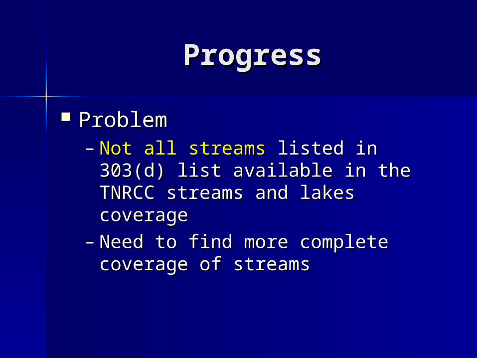
ProgressProgress
Basemap of Texas with Basemap of Texas with HUCs,HUCs, and and streamsstreams and and lakeslakes from TCEQ from TCEQ
ProgressProgress
ProblemProblem– Not all streamsNot all streams listed in 303(d) list listed in 303(d) list
available in the TNRCC streams and available in the TNRCC streams and lakes coveragelakes coverage
– Need to find more complete Need to find more complete coverage of streamscoverage of streams

ProgressProgress

ProgressProgress

ProgressProgress
ProblemProblem
– No common field No common field – Need to manually add a field, Need to manually add a field,
Seg_ID, to the new, complete stream Seg_ID, to the new, complete stream coveragecoverage

ProgressProgress
Example of output – Query by Example of output – Query by PathogensPathogens

ProgressProgress

Future WorkFuture Work
Input new field into attribute table Input new field into attribute table for the complete stream coveragefor the complete stream coverage
Use new, more complete stream Use new, more complete stream coverage and append to 303(d) list coverage and append to 303(d) list tabletable
Overlay map of highways and Overlay map of highways and roadsroads