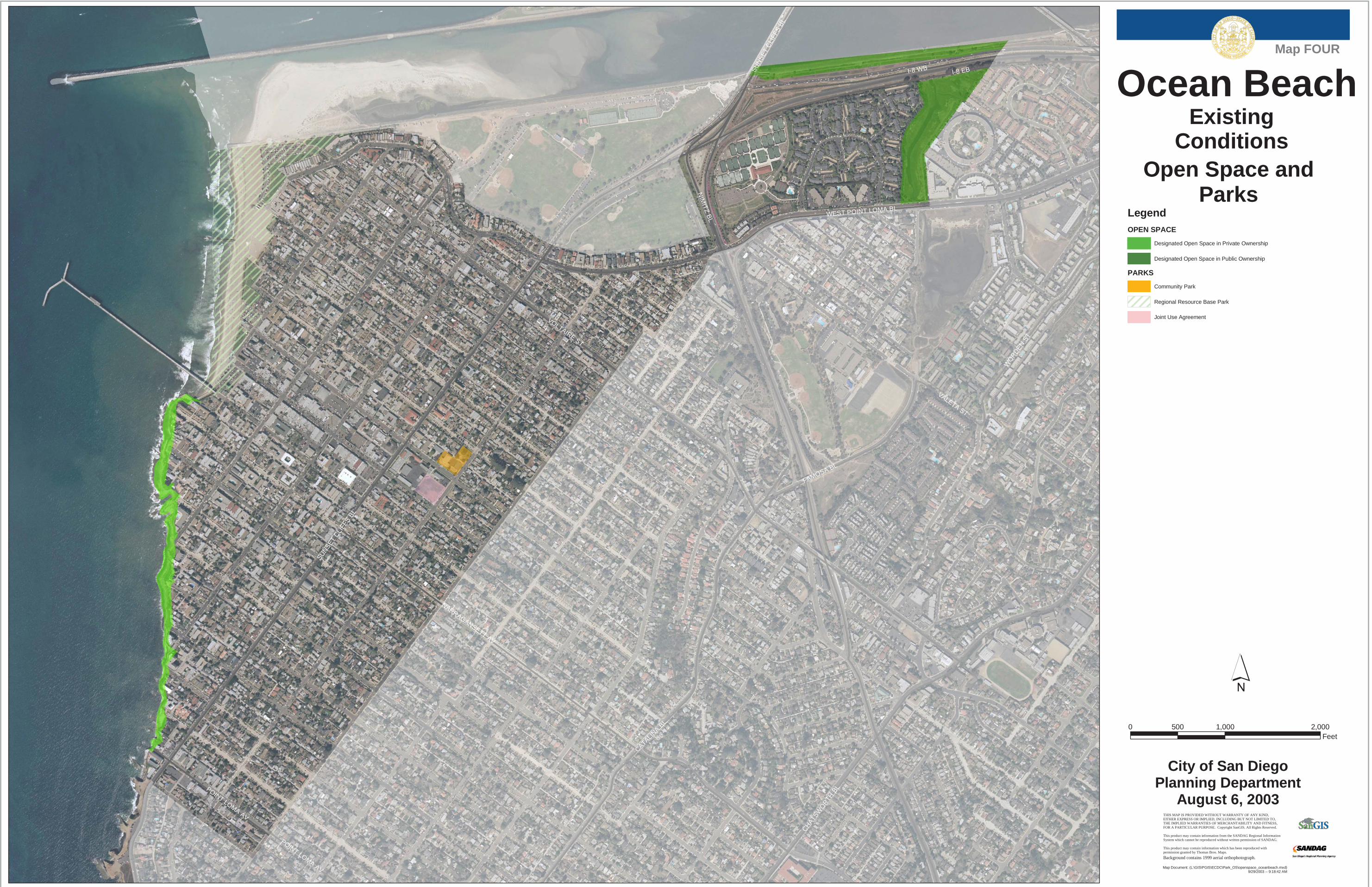
Download - Map FOUR Ocean Beach
NIM
ITZ B
L
SUN
SE
T C
LIFF
S B
L
VOLTAIRE ST
SUN
SET
CLI
FFS
BL
CATALINA B
L
NARRAGANSETT AV
WEST POINT LOMA BL
FAMOSA BL
WO
RD
EN S
T
CHATSW
ORTH
BL
VALETA ST
POINT LOMA AV
POINT LOMA AV
I-8 EBI-8 WB
Ocean BeachExisting
Conditions
City of San DiegoPlanning Department
August 6, 2003
�
THIS MAP IS PROVIDED WITHOUT WARRANTY OF ANY KIND, EITHER EXPRESS OR IMPLIED, INCLUDING BUT NOT LIMITED TO, THE IMPLIED WARRANTIES OF MERCHANTABILITY AND FITNESS, FOR A PARTICULAR PURPOSE. Copyright SanGIS. All Rights Reserved. This product may contain information from the SANDAG Regional Information System which cannot be reproduced without written permission of SANDAG. This product may contain information which has been reproduced with permission granted by Thomas Bros. Maps.
Open Space andParks
Map Document: (L:\GIS\PGIS\ECDC\Park_OS\openspace_oceanbeach.mxd)9/29/2003 -- 9:18:42 AM
Map FOUR
Background contains 1999 aerial orthophotograph.
0 1,000 2,000500Feet
LegendOPEN SPACE
Designated Open Space in Private Ownership
Designated Open Space in Public Ownership
PARKS
Community Park
Regional Resource Base Park
Joint Use Agreement


