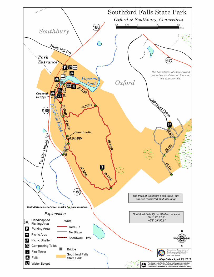
Download - Southford Falls State Park Trail Map
_̂
!j
188
188
67!_
!3
!A
!j
!l!5
!_!n
!5!5"S
"S
!²
!5
ParkEntrance
Hulls Hill Rd
Plaste
r Hou
se R
d
CoveredBridge
Boardwalk
Oakcrest Drive
188
Eightmile Brook
PapermillPond
(0.20)R
(0.22)R
(0.46)R(0.10)R
(0.35)R
(0.06
)
(0.04)BW
(0.09)R(0.06)R
(0.13
)R
(0.10
)R
_̂
_̂
_̂
_̂_̂
_̂_̂
_̂
_̂
_̂
_̂
_̂
_̂
(0.11)
(0.10)
(0.05)
Oxford
Southbury
Southford Falls State Park
:
Oxford & Southbury, Connecticut0.1 0 0.1 0.20.05
Miles
The boundaries of State-ownedproperties as shown on this map
are approximate.
Connecticut Department ofEnvironmental ProtectionBureau of Outdoor RecreationState Parks Division
Map Date - April 25, 2011
Trail distances between marks ( ) are in miles._̂
Funding provided by the Federal Highways AdminsitrationRecreational Trails Grants Program administered by the Connecticut Department of Environmental Protection (DEP).
The trails at Southford Falls State Parkare non motorized multi-use only.
Explanation
Southford FallsState Park
!l
!j
HandicappedFishing AreaParking Area
Fire Tower!A
!²
Falls
Trails
Boardwalk - BW
Red - RNo Blaze
"S Bridge
Picnic Area!5
!_ Composting Toilet
Water Spigot!n
Picnic Shelter!3
Southford Falls Picnic Shelter LocationN41o 27' 27.9"W73o 09' 50.8"


