Download - What is ravine.ppt

CONSERVATION OF
GULLIES AND RAVINES

GROUP MEMBERS
AJAY PRATAP SINGH(64)
ABHISHEK KUMAR SRIVASTAVA(65)
RITU SINGH(66)

CONTENT
Introduction
Causative factors
Process of formation

Gully
A gully is a landform created by
running water, eroding sharply
into soil, typically on ahillside. Gullies
resemble large ditches or
small valleys, but are metres to tens of
metres in depth and width.
RAVINE
A very small valley.
Product of streamcutting erosion.
Typically classified as larger in
scale than gullies, although smaller than
valleys
CAUSATIVE FACTORS
Natural Factors.
Man-made Factors.
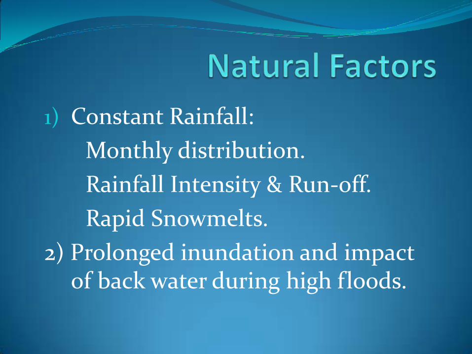
1) Constant Rainfall:
Monthly distribution.
Rainfall Intensity & Run-off.
Rapid Snowmelts.
2) Prolonged inundation and impact of back water during high floods.

Improper land use.Forest and grass fires.Overgrazing.Mining.Road construction.Livestock and vehicle trails.Destructive logging.
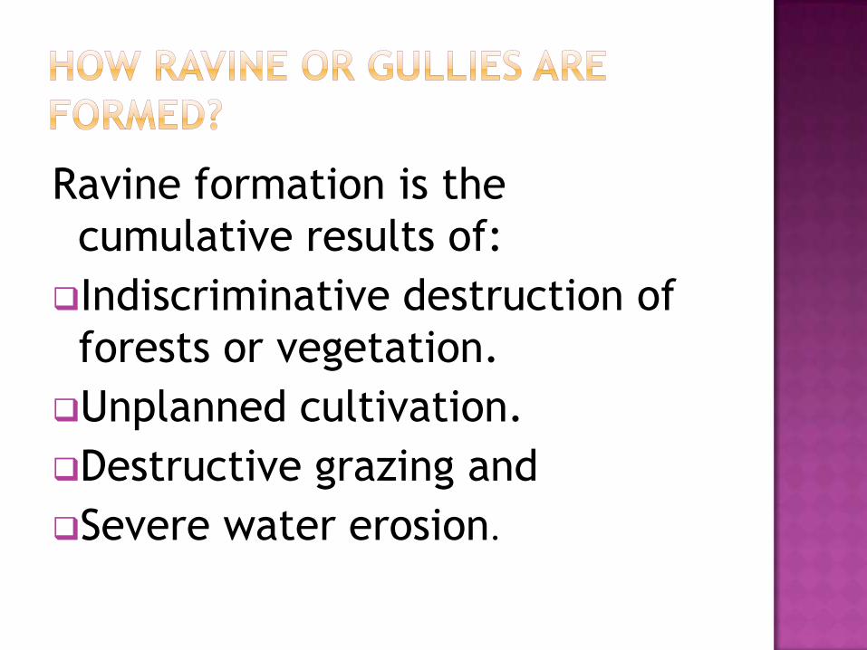
Ravine formation is the
cumulative results of:
Indiscriminative destruction of
forests or vegetation.
Unplanned cultivation.
Destructive grazing and
Severe water erosion.

Formation of RavineSplash Erosion
Sheet Erosion
Rill Erosion
Gully Erosion
Ravine

Ravine and Gully types
U and V shaped Ravines:
1) It can classified based on the shape of
their cross-section.
2) Both U and V shaped Ravines may be
found in same channels.

U AND V SHAPE RAVINES

Ravines spread – 3.67 million hectares along the river and tributaries.
It spreading at the Rate of about 0.5% annually.
Serious ravine intrusions.Beas in PunjabChambal in Madhya Pradesh.Kalisind, Banas, Morel andGambhir in Rajasthan.Yamuna in Uttar Pradesh.Mahi, Sabarwati, Narmada and Tapti in
Gujarat.

State Ravine area(lakh ha)
UP 12.30
MP 6.83
Bihar 6.50
Rajasthan 4.52
Gujarat 4.00
Pune and Haryana 1.20
West Bengal 1.04
Tamil Nadu 0.62
Maharastra 0.20
Total 37.00

Types of Control Measures
Mechanical
Biological

Mechanical Measures
1)Check Dam
Bolder check dam
Loose stone check dam
Log&Pole check dam
Gabion Structures
Wire woven baskets filled with stones
Adoptable: High slope & Heavy rainfall areas
Constructed across small stream to conserve stream flows with practically no submergence beyond stream course
The height of such structure is around 0.5m & normally used in the streams with width of about 10 to 15m

Contd…
Percolation Tanks
Embankments across natural depressions
It is permanent method

Control Storm Water Flow
Temporary Underground Water Storage
Infiltration of Water into Surrounding Soil
Storing Water for Re-use

Nala Bunds
Earthen embankments across nala
It is permanent method

Biological Measures
Strip Planting
Growing of different crops on alternate strips of
ground that usually follow the contour of the
land
To minimize erosion

2)COVER CROP
Any annual,biennial or perenial plant grown as monoculture or polyculture.
To improve soil fertility,soil quality and water infiltration.
3)Afforestation
Planting the trees along the edges of the feilds,the wastelands and the steepy slopes to prevent erosion.

Research center for Ravine
The Central Soil & water conservation research and training institute,Research Center.(CSWCRTIR)
It has carried out research at last 25 years investigations to control of gullies and reclamation of Ravines,Especially onthe banksof Mahi river in Gujarat.
References
M.P.SINGH,D N TIWARI(1996) Agroforestry &Wasteland.
www.thisland.illinois.edu/60ways/images/
http://www.thehindu.com/todays-paper/tp-national/tp-newdelhi/destruction-of-ravines-poses-threat-to-indian-wolf/article2804572.ece
www.wikkipedia.org
Thank You
![L 16 Heat and Thermodynamics [1] What is temperature? What is temperature? How is it measured? How is it measured? What is heat? What is heat? What is](https://cdn.vdocument.in/doc/165x107/56649db15503460f94a9f720/l-16-heat-and-thermodynamics-1-what-is-temperature-what-is-temperature.jpg)


