dr d s arya, assistant professor department of hydrology
TRANSCRIPT

Dr D S Arya,
Assistant Professor
Department of Hydrology,
IIT Roorkee, Roorkee – 247667
email: [email protected]
By:By:

1. Fundamentals� Understanding the role of the electromagnetic
spectrum in remote sensing � Realizing that the atmosphere alters EM energy � Concept of spectral signature in remote sensing� Concept of spectral signature in remote sensing� Understanding that the satellite images are actually
arrays of numbers that can be manipulated to produce pictures
� Satellite Programs (particularly IRS)� Understanding spatial, spectral, radiometric, and
temporal resolution

2. Images Types � Panchromatic Images� Multi-spectral Images� False color composites� Natural Images
3. Applications in Water Resources

What is Remote Sensing?
Remote Sensing is the science and art of obtaining information about an object, area or phenomenon through the analysis of data acquired by a device that is not in contact with the object area, or phenomenon under investigation.object area, or phenomenon under investigation.
Example: Human Sight
Eyes are Sensors which response to the reflected light
Data is the reflected light from the dark and light areas
Interpretation is white reflected lights are letters
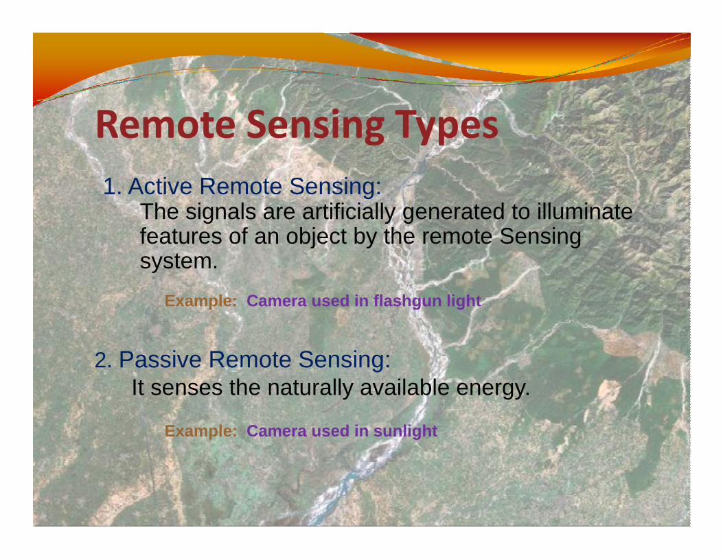
Remote Sensing Types
1. Active Remote Sensing: The signals are artificially generated to illuminate features of an object by the remote Sensing system.
Example: Camera used in flashgun light
2. Passive Remote Sensing: It senses the naturally available energy.
Example: Camera used in sunlight

How does Remote Sensing work?
� In remote sensing the process involves an process involves an interaction between incident radiation and the targets of interest;
� It also involves the sensing of emitted energy.

How does Remote Sensing work?
1. Energy Source or Illumination (A)2. Radiation and the Atmosphere (B) 3. Interaction with the Target (C)4. Recording of Energy by the 4. Recording of Energy by the
Sensor (D)5. Transmission, Reception, and
Processing (E)6. Interpretation and Analysis (F)7. Application (G)
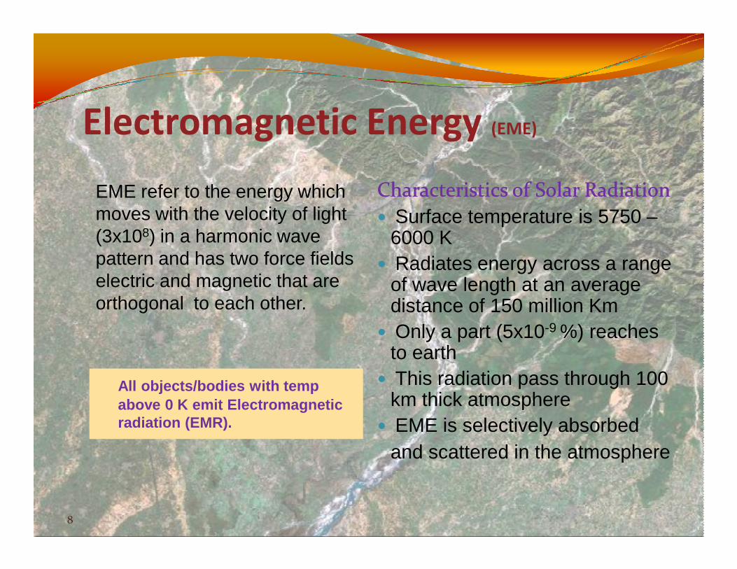
Electromagnetic Energy (EME)
EME refer to the energy which moves with the velocity of light (3x10⁸) in a harmonic wave pattern and has two force fields electric and magnetic that are
Characteristics of Solar RadiationCharacteristics of Solar Radiation
� Surface temperature is 5750 –6000 K
� Radiates energy across a range of wave length at an average
8
electric and magnetic that are orthogonal to each other.
of wave length at an average distance of 150 million Km
� Only a part (5x10⁻⁹ %) reaches to earth
� This radiation pass through 100 km thick atmosphere
� EME is selectively absorbed and scattered in the atmosphere
All objects/bodies with temp above 0 K emit Electromagnetic radiation (EMR).

Electromagnetic Spectrum (EMS)
� EMS is a continuous plot of the wavelengths of different types of solar energy
� The EMS is divided into segments of wavelengths known as “bands”. known as “bands”.

EMR Interaction
� The atmosphere interacts with and changes the character of electromagnetic energy (e.g., light) as it travels electromagnetic energy (e.g., light) as it travels from the top of the atmosphere to the target and back to the sensor.
� During Energy propagation, scattering and absorption takes place

Atmospheric Windows� The atmospheric windows are those regions of EMS
for which the atmosphere is transparent and the energy flows without much loss

Spectral Reflectance Curves% Reflectance = Er/Ei*100
Plot of reflectance alongwith wavelength is known as spectral reflectance /response curves

Spectral Signatures� Everything in nature has a spectral signature. If we can
detect that spectral signature we can separate features, and get an insight to the type of objects.
� Spectral signatures (spectral response patterns) change over time and space. Why?over time and space. Why?� atmospheric conditions change - haze, moisture, aerosols,
clouds.� illumination conditions change - sun angle changes with the
season, and with sun angle changes come target spectral response changes.
� targets change - changing water levels, agricultural fields grow.

Spectral Signatures� By comparing the response
patterns of different features we may be able to distinguish between them, where we might not be able to, if we only not be able to, if we only compared them at one wavelength.
� For example, water and vegetation may reflect somewhat similarly in the visible wavelengths but are almost always separable in the infrared.

Spectral Signature of water

Spectral Signature of Water� Longer wavelength visible and near infrared radiation is absorbed
more by water than shorter visible wavelengths. � Thus water typically looks blue or blue-green due to stronger
reflectance at these shorter wavelengths, and darker if viewed at red or near infrared wavelengths.
� If there is suspended sediment present in the upper layers of the � If there is suspended sediment present in the upper layers of the water body, then this will allow better reflectivity and a brighter appearance of the water.
� Suspended sediment can be easily confused with shallow (but clear) water, since these two phenomena appear very similar.
� Chlorophyll in algae absorbs more of the blue wavelengths and reflects the green, making the water appear greener in colour when algae are present.
� The topography of the water surface (rough, smooth, floating materials, etc.) can also lead to complications for water-related interpretation.

Remote Sensing Data Collection
� Types of Satellites:� Geostationary
� INSAT satellites
� Sun Synchronous� Landsat, SPOT,
IRS satellites

Remote Sensing Satellites

� LANDSAT MSS/TM/ETM+ (NASA, USA)� SPOT-1, -2, -3 (France )� JERS-1 (Japan )
Major Passive: Multi-Spectral Sensors
� JERS-1 (Japan )� MODIS (NASA, USA)� AVHRR (NOAA, USA)� ASTER (NASA, USA, and Japan)� IRS-1A, -1B, -1C, 1D, P4 (India )� IKONOS (Space Imaging, USA)

� SIR-A, -B, -C (NASA, USA) � RADARSAT (Canada )� JERS-1 (Japan )� ERS-1 (European )� AIRSAR/TOPSAR (NASA, USA)
Major Active: Radar/Lidar Sensor
� AIRSAR/TOPSAR (NASA, USA)� NEXRAD (NOAA, USA)� TRMM (NASA, USA)� ALTMS (TerraPoint, USA)� FLI-MAP (John Chance, USA)� ALTM (USA)� TopoEye (USA)� ATLAS (USA)

Indian RS Satellites� IRS is a part of NNRMS (National Natural Resources
Management System)
� ISRO has Launched IRS 1A (1988), IRS 1B (1991), IRS 1C (1995), IRS 1D (1997), IRS P4 /OceanSat (1999), 1C (1995), IRS 1D (1997), IRS P4 /OceanSat (1999), IRS P6/ResourceSat (2003), Cartosat2 (2006)
� The average Altitude is 817 Km and revisiting time is 22-24 days and crosses equator at 10.30 AM
� Most of the satellites have LISS (Linear Imaging Self Scanning), PAN and AWiF (Wide Field) Sensors

IRS P6: Onboard SensorsIRS P6: Onboard Sensors

Resolutions� A pixel (picture element) is the name of an individual
cell of digital image data. The ground area that is covered by a pixel is known as spatial resolution of the data.
� The spectral resolution refer to number of bands over the data is collected.
� The radiometric resolution of a system refers to the number of quantized bits that are used for recording the reflected electromagnetic energy
� The temporal resolution of a system refers to the frequency of data acquisition over the same area.

Image Interpretation
The main objective of image interpretation is to extract information about features displayed in an image. It depends upon:
• Analyst’s Experience,• Power of Observation,
24
• Power of Observation, • Understanding of basic principles of RS• Purpose of Interpretation
Visual Photo/Image Interpretation: The keys are Shape, Size, Pattern, Shadows, Tone, Texture and Site.

Digital Image Interpretation
� During the last two decades, RS has been progressively moving from analogue photographs to digital image processing.� Digital data is basically collected in the form of
25
� Digital data is basically collected in the form of digits.
� Therefore image colors/brightness forms an array of numeric numbers.
� These values can be added, subtracted multiplied and in general are subjected to statistical manipulations.

Digital Image Interpretation
� Image restoration� Geometric, radiometric Corrections and Noise removal
� Image Enhancement� Gray Level Threshholding, Level Slicing and Contrast
26
� Gray Level Threshholding, Level Slicing and Contrast Stretching
� Image Classification� Supervised Classification and Unsupervised
Classification

Digital image: pixels and reflectance
� A digital image is an array
2. Images Types
� A digital image is an array of pixels. Each spectral band contains the same array with reflectance values representative of that part of the electromagnetic spectrum.

1 meter panchromatic 10 meter panchromatic(IKONOS) (SPOT)
High Resolution
(IKONOS) (SPOT)
30 meter multispectral 80 meter multispectral(Landsat - TM or ETM) (Landsat - MSS)
Low Resolution

Natural Color and FCC Images
Blue Blue
Green Green
Red Red
Green Blue
Red Green
Infra Red Red

3 Applications� Mapping and monitoring landuse/landcover� Snow cover monitoring/mapping� Wetland mapping� Runoff calculations (SCS Method)� Flood Plain Mapping/zoning� River Shifting studies� Water spread area calculations of Reservoir� EIA studies related to water resources

Choosing data type� All of these factors should be considered when selecting a
system for a particular application.� Scale (resolution, footprint)� Signature (spectral, resolution)� Timing (Seasonality, Repeatability)
� When you select imagery for an application, you need to consider the smallest features that you need to identify, and use that as a guide to selecting the appropriate spatial resolution. You also need to consider the spatial extent of the project and select a system that can cover the area with minimal mosaicing efforts.
� If you are going to rely on specific spectral characteristics for identifying features, those spectral characteristics need to be evident in the selected system.
� Finally, if you are using Remote Sensing for monitoring activities, you need to verify that the frequency of acquisition from the system is appropriate for your monitoring frequency.

Flood Studies

Monitoring Glacier Changes (1985)

Monitoring Glacier Changes (1986)

LULC Map (1962 &1990)

Impact on runoff generation
SCS Curve Number Method� Runoff depth Q = (P-Ia) 2 /(P-Ia+S), Where
� Q – runoff depth in inches,Q – runoff depth in inches,� P – rainfall intensity in inches,� Ia – initial abstraction(Average value is 0.2S),� S – storage index.
� Weighted Curve Number CN = 1000/(10+S), Where� CN = (Σland cover area*curve number)/Total area
� The curve numbers are chosen on the basis of AMC condition and Hydrological soil group type.

Analysis of LULC Changes
Land use/Land cover Changes
Sl No
Land use Area sq.km(1967)
Area sq.km (1990)
1 Congested built -up area 0.844 1.435
37
0
1
2
3
4
5
1 2 3 4 5 6 7
Land use Category
Are
a (s
q. k
m) Area, sq.km (1967)
Area sq.km (1990)
1 Congested built -up area 0.844 1.435
2 Scattered built-up area 2.899 4.486
3 Agricultural land (Ordinarysoil)
2.043 0.462
4 Agricultural Land (Sandy soil) 1.525 1.013
5 Thick Grassland 0.186 0.101
6 Playgrounds 0.462 0.462
7 Canal 0.158 0.158

Analysis of LULC Changes
� The 125 percent more land has been converted into urban land.
38
� Considering the equal rainfall intensity and antecedent moister condition, it is found that there would be 15 % more runoff in the year 1990.
