esrm 304 environmental and resource assessment final exam hints & helps
TRANSCRIPT

ESRM 304
Environmental and Resource Assessment
Final Exam Hints & Helps

ESRM 304 Final Exam Hints
The exam will contain up to 9 sections of :• Short Answers,• Calculations, • Definitions, • Multiple Choice, and/or• True and False.
About three dozen Final Exam questions
Wednesday 11 Dec 2013, 0830-1020, WFS 201
Closed books/notes; bring pencil/eraser, calculator
2

Environmental and Resource Assessment
Review
Module 1: Statistical and Sampling Methods in Nat. Res.
Q. What are covariance and correlation and how do they differ?
A: Covariance and correlation both measure the degree of association between two variables (attributes) of a population. Positive indicates direct relationship, negative an indirect one, and zero indicates little to no relationship. The units of covariance are the product of the units of the variables, whereas correlation is unitless and scaled to be between -1 and +1.
3

Scientific Method
Q. Explain the difference between a “statistic” and a “parameter.” Give two examples of each and describe potential importance / uses of each.
4
A: A statistic is a value (number) estimated from a sample. A parameter is a fixed constant referencing a value derived from a population.
Examples (statistic / parameter):sample mean, / population mean,
sample std. deviation, / population std.dev.,
Environmental and Resource Assessment
Review
Module 2: Soils and Climate
Q. Knowing the total amount of N in a soil is useful for:
a) calculating the total amount of carbonb) determining microclimatic effectsc) determining if there is adequate nitrogen in a soil for plant growthd) estimating if erosion is likelye) estimating if all essential nutrients for plant growth are adequate
5

Soils and Microclimate
• What are two examples of microclimate information that could be useful when considering land management choices? Explain both choices.
6

Environmental and Resource Assessment
Review
Module 4: Social Environment
Q. What is non-response bias, and why is it important to consider in data collection?
A: One might sample across a population in an effort to be able to generalize findings to that group of people. A low response rate (such as surveys) raises the issue that the respondents may not be an adequate representation of the entire population due to self selection, for instance, they may be more affluent or older than the general population … etc.
7
Social Environment
Imagine that a proposal was put forward to use the St. Edward Seminary building for a small conference center and hotel (such as a McMenamins facility). A study is being prepared for market feasibility (in essence, would enough people use the facility to make it pay?).
Question: Of these populations, which would be the least helpful to sample for this study? Explain your choice in a few words.
a) convention and special events organizers in the King County areab) parks and open space managers in the King County areac) hotel operators in the King County aread) residents living within 5 miles of the parke) residents of King County
8

Environmental and Resource Assessment
Review
Module 3: Ground cover methods
Q. What attributes of CWD are typically recorded when measuring it using the line intersect technique?
a) Diameter at point it crosses transectb) Length of the piece c) Species if possibled) Decay class
9
Ground Cover a.k.a. Lower Canopy
• Describe a method used to determine understory vegetation cover?
10

Environmental and Resource Assessment
Review
Module 5: Stream Ecology
Q. Name the four dimensions of a stream.
a) Longitudinalb) Lateral c) Vertical d) Temporal
11

Stream Ecology
• Describe how you can estimate stream volume if you have only a watch and no fancy equipment.
12

Environmental and Resource Assessment
Review
Module 6: Wildlife
Q. To be useful, what trait must all CPUE indices share?
A: They must bear a consistent relationship with true abundance
13

Wildlife Sampling
• When trapping small mammals on a grid of live traps, one accumulates the number of individual animals captured over several trapping periods, and one knows the area of the trapping grid. One can calculate a density from these data. Why is it known as a “naïve” density estimate? What must be done to make it “sophisticated”?
14

Environmental and Resource Assessment
Review
Module 7: Remote Sensing
Q. True or False? A single aerial photo can be used to extract three dimensional measurements.
A: False.
15
Remote Sensing
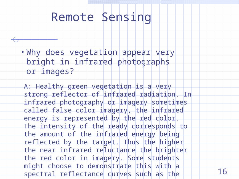
• Why does vegetation appear very bright in infrared photographs or images?
16
A: Healthy green vegetation is a very strong reflector of infrared radiation. In infrared photography or imagery sometimes called false color imagery, the infrared energy is represented by the red color. The intensity of the ready corresponds to the amount of the infrared energy being reflected by the target. Thus the higher the near infrared reluctance the brighter the red color in imagery. Some students might choose to demonstrate this with a spectral reflectance curves such as the graph below.
Environmental and Resource Assessment
Review
Module 8: Upper canopy vegetation
Q. You are 50 feet away from a tree on flat ground to measure its height. The clinometer reading to the top is 98% and to breast height it is -4%. How tall is the tree?
A: H = 50 x [98 - (-4) ]/100 + 4.5 = 55.5 feet tall
17

Tree Canopy
• What is the Tree Factor for a 0.25-acre fixed-area, circular plot? If the stand you are sampling is 100 acres in size, what is the statistical population size (N) using the above sampling unit?
18
A: 0.25 corresponds to ¼, so Tree Factor is 4 (four) per acre
N = Tree Factor x acres = 4 x 100 = 400

Environmental and Resource Assessment
Review
Module 9: Surveying & Navigation
Q. You run a traverse on some forest property using a Silva or Suunto hand compass and cloth tape. How close can you be expected to read the azimuth scale on your compass?
A: The hand compass has smallest divisions of 2 degrees, so the best one can expect someone to read bearings is to the nearest 2, maybe 1 degrees.
19

Survey and Navigation
• Define Magnetic DeclinationMagnetic declination - the angle between the local magnetic field and geographic (polar) north. The declination is termed “east” when the magnetic north is east of geographic north. Similarly, “west” declination means you are standing on the earth in a spot where magnetic north is west of geographic north.
• What bearing corresponds to an azimuth of 139 degrees? a) 221o
b) N 41o Ec) S 41o Wd) S 41o E
20

Environmental and Resource Assessment
Review
Further example exam questions appear on the course website
Confer with your colleagues, the TA, module leaders, course lead to make sure you understand the questions there & answers to them
21