euref related activities in the czech republic 2016 - 2017 · in the czech republic 2016 - 2017 ......
TRANSCRIPT

Research Institute of Geodesy, Topography, and
Cartography – Geodetic Observatory Pecny
Land Survey Office, Prague
EUREF Related Activities
in the Czech Republic 2016 - 2017
National Report
J. Douša1, V. Filler1, J. Kostelecký jr.1, J. Kostelecký1,
V. Pálinkáš1, J. Šimek1, P. Štěpánek1, P. Václavovic1
M. Lederer2, J. Nágl2, J. Řezníček2
1 Research Institute of Geodesy, Topography and Cartography2 Land Survey Office, Prague
Symposium of the IAG Subcommission for
Europe – EUREF 2017
Wroclaw, Poland, 17 – 19 May 2017
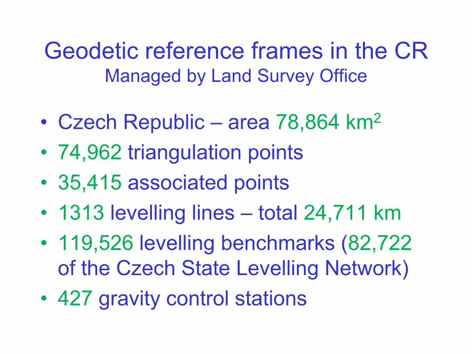
Geodetic reference frames in the CRManaged by Land Survey Office
• Czech Republic – area 78,864 km2
• 74,962 triangulation points
• 35,415 associated points
• 1313 levelling lines – total 24,711 km
• 119,526 levelling benchmarks (82,722
of the Czech State Levelling Network)
• 427 gravity control stations
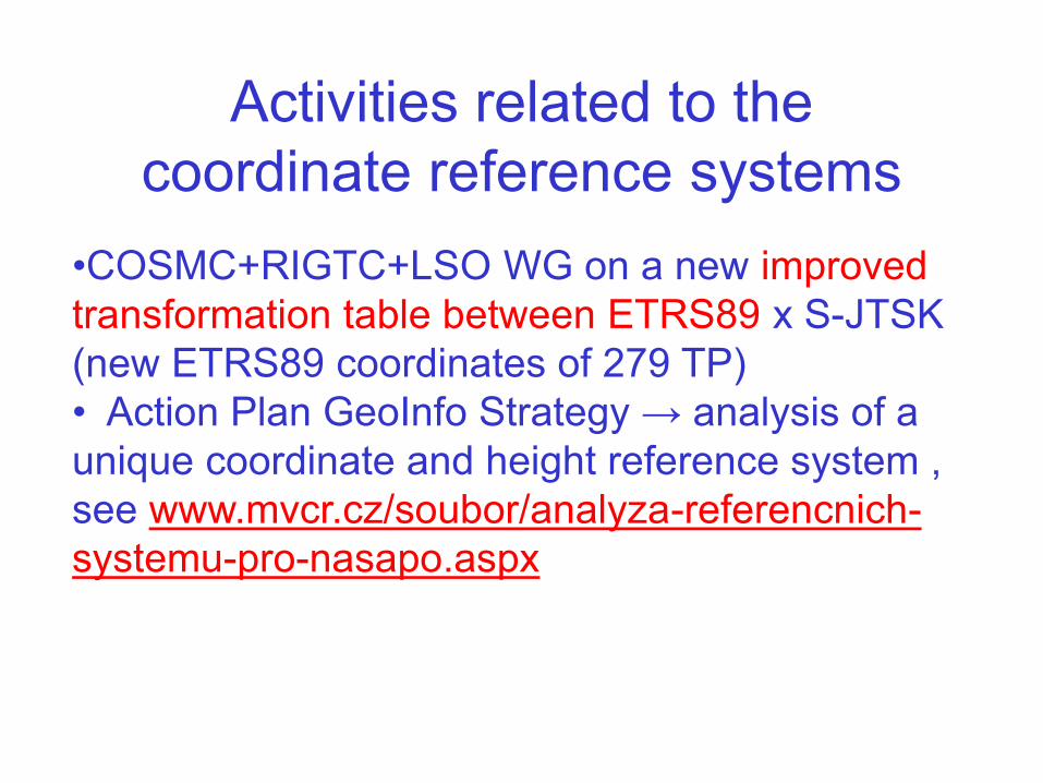
Activities related to the
coordinate reference systems
•COSMC+RIGTC+LSO WG on a new improved
transformation table between ETRS89 x S-JTSK
(new ETRS89 coordinates of 279 TP)
• Action Plan GeoInfo Strategy → analysis of a
unique coordinate and height reference system ,
see www.mvcr.cz/soubor/analyza-referencnich-
systemu-pro-nasapo.aspx
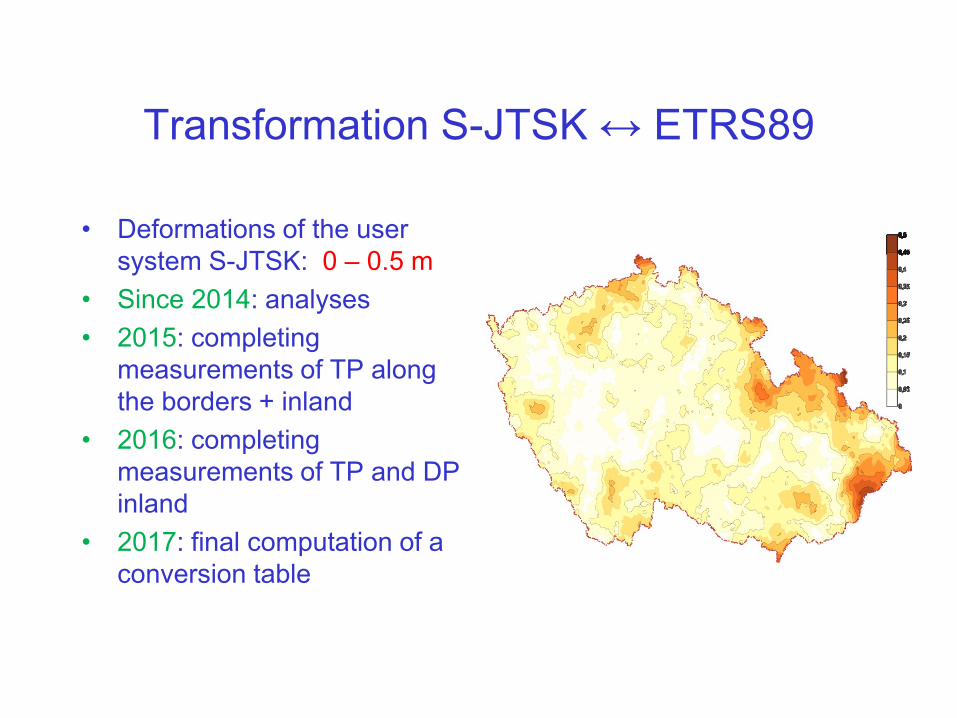
Transformation S-JTSK ↔ ETRS89
• Deformations of the user
system S-JTSK: 0 – 0.5 m
• Since 2014: analyses
• 2015: completing
measurements of TP along
the borders + inland
• 2016: completing
measurements of TP and DP
inland
• 2017: final computation of a
conversion table
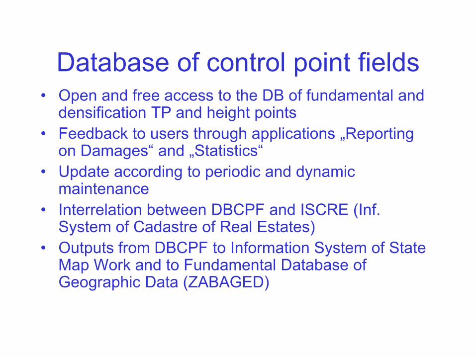
Database of control point fields• Open and free access to the DB of fundamental and
densification TP and height points
• Feedback to users through applications „Reporting on Damages“ and „Statistics“
• Update according to periodic and dynamic maintenance
• Interrelation between DBCPF and ISCRE (Inf. System of Cadastre of Real Estates)
• Outputs from DBCPF to Information System of State Map Work and to Fundamental Database of Geographic Data (ZABAGED)
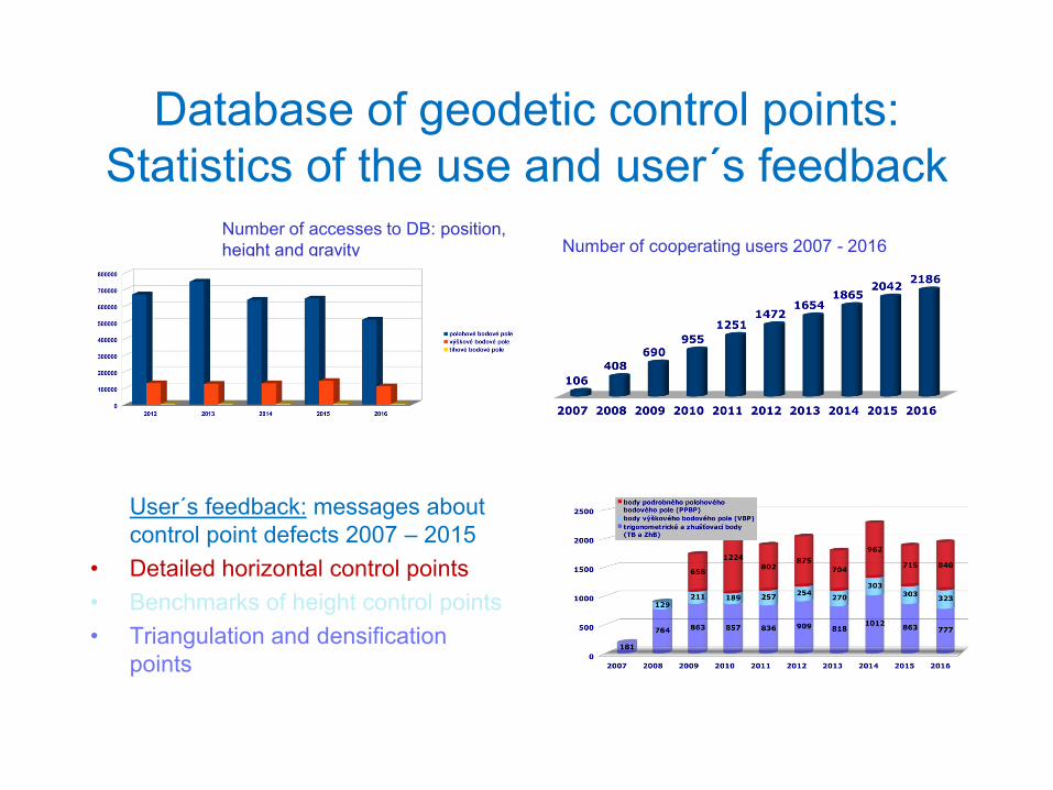
Database of geodetic control points:
Statistics of the use and user´s feedback
User´s feedback: messages about
control point defects 2007 – 2015
• Detailed horizontal control points
• Benchmarks of height control points
• Triangulation and densification
points
Number of cooperating users 2007 - 2016Number of accesses to DB: position,
height and gravity
Height and gravity height, gravityh
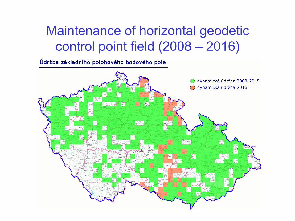
Maintenance of horizontal geodetic
control point field (2008 – 2016)
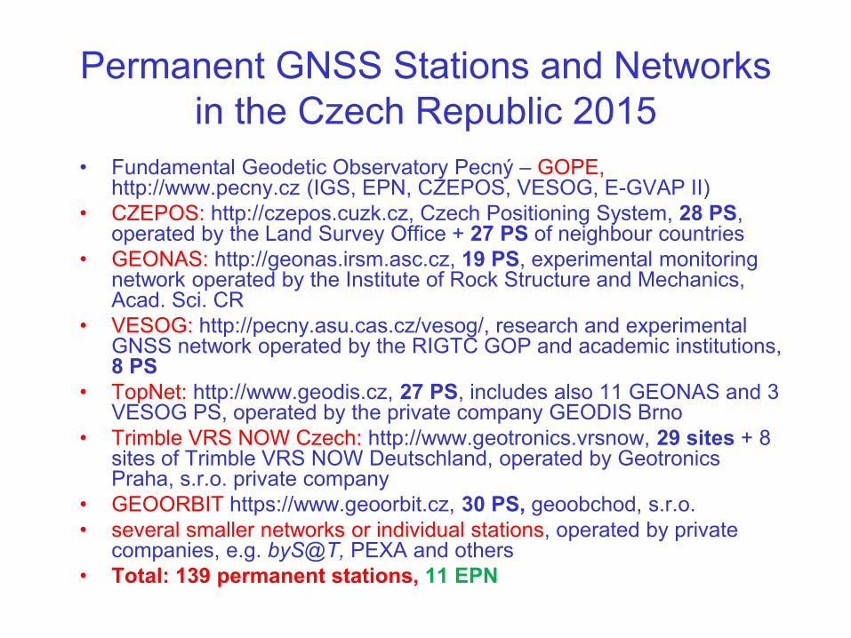
Permanent GNSS Stations and Networks
in the Czech Republic 2015
• Fundamental Geodetic Observatory Pecný – GOPE, http://www.pecny.cz (IGS, EPN, CZEPOS, VESOG, E-GVAP II)
• CZEPOS: http://czepos.cuzk.cz, Czech Positioning System, 28 PS, operated by the Land Survey Office + 27 PS of neighbour countries
• GEONAS: http://geonas.irsm.asc.cz, 19 PS, experimental monitoring network operated by the Institute of Rock Structure and Mechanics, Acad. Sci. CR
• VESOG: http://pecny.asu.cas.cz/vesog/, research and experimental GNSS network operated by the RIGTC GOP and academic institutions, 8 PS
• TopNet: http://www.geodis.cz, 27 PS, includes also 11 GEONAS and 3 VESOG PS, operated by the private company GEODIS Brno
• Trimble VRS NOW Czech: http://www.geotronics.vrsnow, 29 sites + 8 sites of Trimble VRS NOW Deutschland, operated by Geotronics Praha, s.r.o. private company
• GEOORBIT https://www.geoorbit.cz, 30 PS, geoobchod, s.r.o.
• several smaller networks or individual stations, operated by private companies, e.g. byS@T, PEXA and others
• Total: 139 permanent stations, 11 EPN
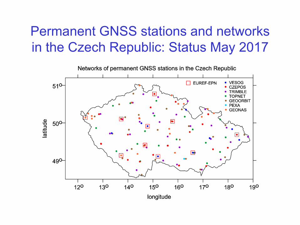
Permanent GNSS stations and networks
in the Czech Republic: Status May 2017
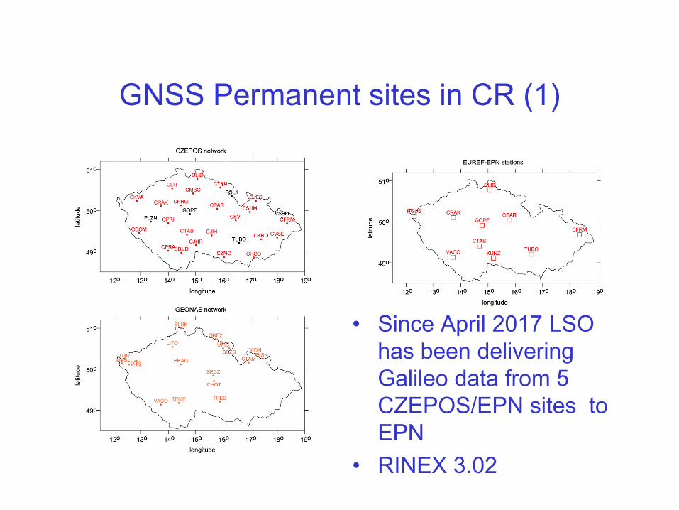
GNSS Permanent sites in CR (1)
• Since April 2017 LSO
has been delivering
Galileo data from 5
CZEPOS/EPN sites to
EPN
• RINEX 3.02
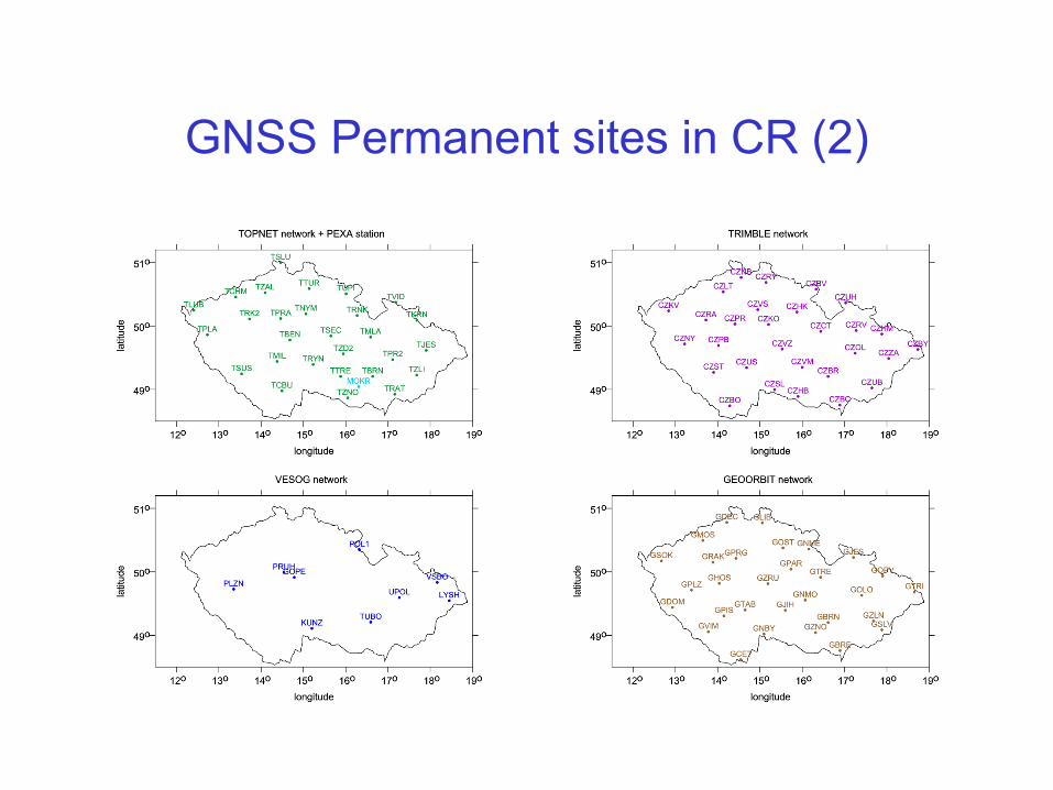
GNSS Permanent sites in CR (2)

CZEPOS operated by Land Survey Office since 2004/2005
Status 2015/2017: 28 + 27 stations, 1490 users
GPS + GLONASS, Galileo ready
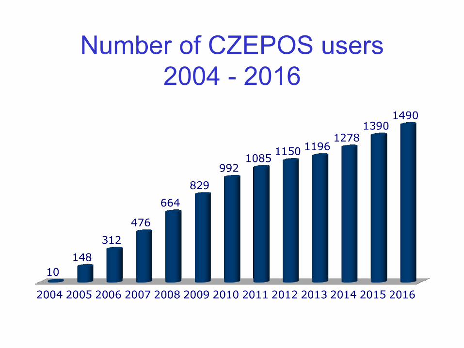
Number of CZEPOS users
2004 - 2016
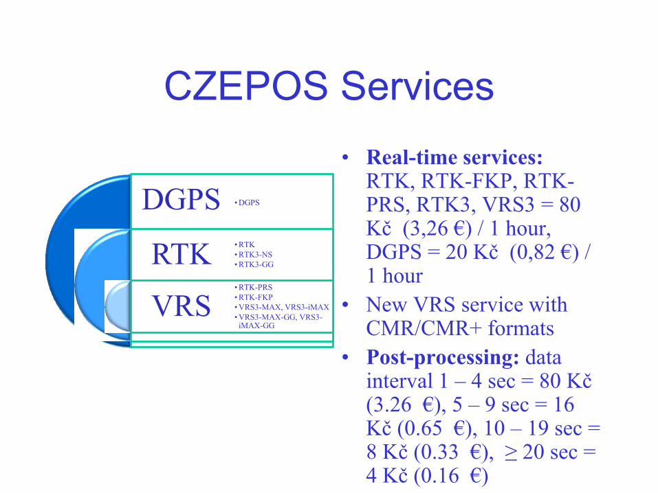
CZEPOS Services
• Real-time services:RTK, RTK-FKP, RTK-PRS, RTK3, VRS3 = 80 Kč (3,26 €) / 1 hour, DGPS = 20 Kč (0,82 €) / 1 hour
• New VRS service with CMR/CMR+ formats
• Post-processing: data interval 1 – 4 sec = 80 Kč (3.26 €), 5 – 9 sec = 16 Kč (0.65 €), 10 – 19 sec = 8 Kč (0.33 €), ≥ 20 sec = 4 Kč (0.16 €)
DGPS
RTK
VRS
• DGPS
• RTK
• RTK3-NS
• RTK3-GG
• RTK-PRS
• RTK-FKP
• VRS3-MAX, VRS3-iMAX
• VRS3-MAX-GG, VRS3-iMAX-GG

CZEPOS monitoring
• 75 triangulation test
areas
• 3 test baselines in each
area
• each baseline tested
using site x VRS
service
• Web application
(cooperation with CTU)
• Operational since April
2010
GOPE – Fundamental GNSS Station• Established in 1993, since 1995 has been contributing to IGS
(International GNSS Service), EPN since 1996
• Topcon Net-G3 receiver, Topcon CR-G3 antenna with a
spherical radom TPSH, individual PC calibration
• Participation in IGS M-GEX Project • Station GOP6 Leica GRX1200+GNSS receiver + Leica
AR25.R4 antenna with a spherical radom LEIT and individual PC calibrations
• Satellite tracking: GPS NAVSTAR (L1C, L1P, L2P, L2C, L5), GLONASS (L1C, L2P), Galileo (E1, E5a, E5b, AltBoc), SBAS (L1)
• JAXA MGM Project: + QZSS; Javad DELTA-G3T receiver connected through a signal splitter to the Leica AR25.R4 antenna with a spherical radom LEIT installed at the GOP6 site
• EGNOS SPMS project – station GOP3 (GSA)• GRC Project (GSA)

GOP6 M-GEX Site - antenna
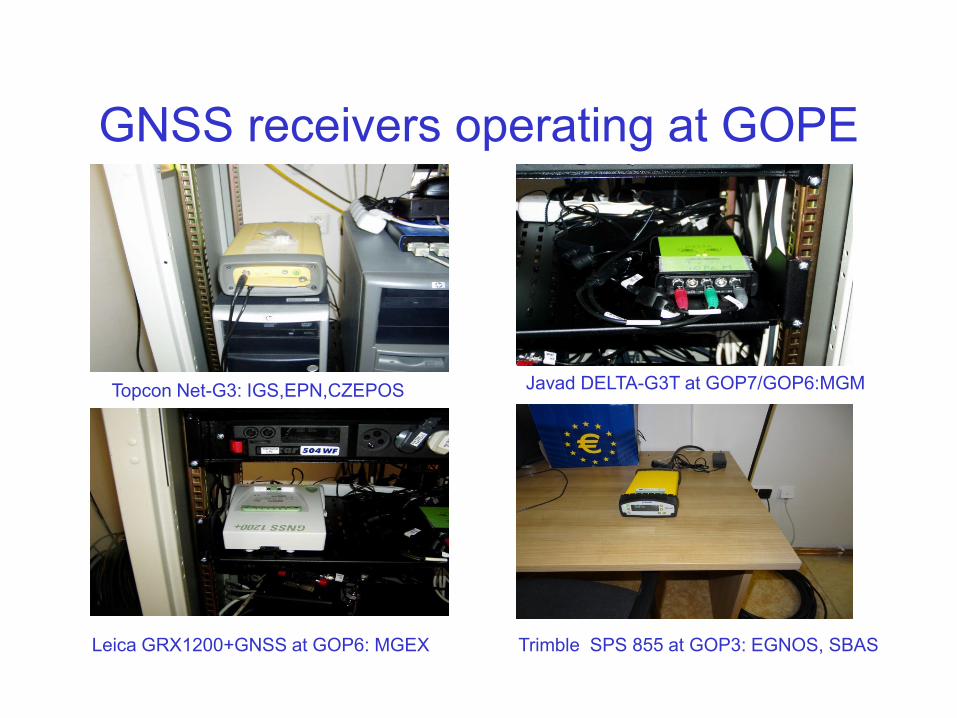
GNSS receivers operating at GOPE
Topcon Net-G3: IGS,EPN,CZEPOS Javad DELTA-G3T at GOP7/GOP6:MGM
Leica GRX1200+GNSS at GOP6: MGEX Trimble SPS 855 at GOP3: EGNOS, SBAS
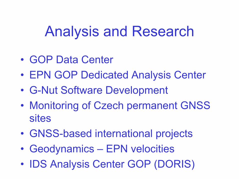
Analysis and Research
• GOP Data Center
• EPN GOP Dedicated Analysis Center
• G-Nut Software Development
• Monitoring of Czech permanent GNSS
sites
• GNSS-based international projects
• Geodynamics – EPN velocities
• IDS Analysis Center GOP (DORIS)
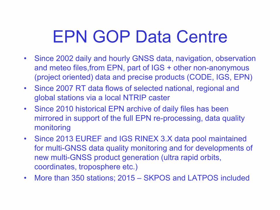
EPN GOP Data Centre• Since 2002 daily and hourly GNSS data, navigation, observation
and meteo files,from EPN, part of IGS + other non-anonymous
(project oriented) data and precise products (CODE, IGS, EPN)
• Since 2007 RT data flows of selected national, regional and
global stations via a local NTRIP caster
• Since 2010 historical EPN archive of daily files has been
mirrored in support of the full EPN re-processing, data quality
monitoring
• Since 2013 EUREF and IGS RINEX 3.X data pool maintained
for multi-GNSS data quality monitoring and for developments of
new multi-GNSS product generation (ultra rapid orbits,
coordinates, troposphere etc.)
• More than 350 stations; 2015 – SKPOS and LATPOS included
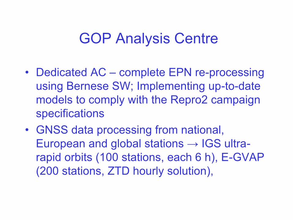
GOP Analysis Centre
• Dedicated AC – complete EPN re-processing
using Bernese SW; Implementing up-to-date
models to comply with the Repro2 campaign
specifications
• GNSS data processing from national,
European and global stations → IGS ultra-
rapid orbits (100 stations, each 6 h), E-GVAP
(200 stations, ZTD hourly solution),
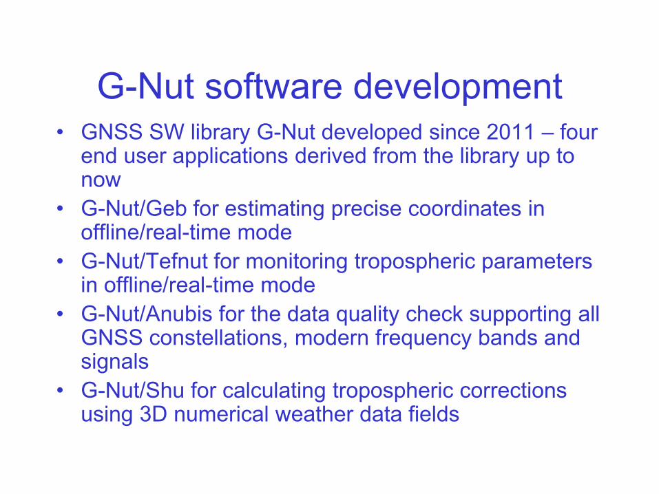
G-Nut software development• GNSS SW library G-Nut developed since 2011 – four
end user applications derived from the library up to now
• G-Nut/Geb for estimating precise coordinates in offline/real-time mode
• G-Nut/Tefnut for monitoring tropospheric parameters in offline/real-time mode
• G-Nut/Anubis for the data quality check supporting all GNSS constellations, modern frequency bands and signals
• G-Nut/Shu for calculating tropospheric corrections using 3D numerical weather data fields
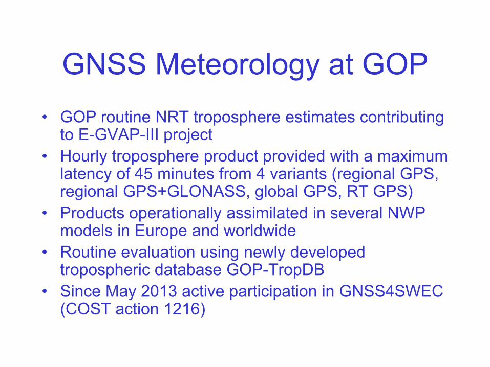
GNSS Meteorology at GOP
• GOP routine NRT troposphere estimates contributing to E-GVAP-III project
• Hourly troposphere product provided with a maximum latency of 45 minutes from 4 variants (regional GPS, regional GPS+GLONASS, global GPS, RT GPS)
• Products operationally assimilated in several NWP models in Europe and worldwide
• Routine evaluation using newly developed tropospheric database GOP-TropDB
• Since May 2013 active participation in GNSS4SWEC (COST action 1216)
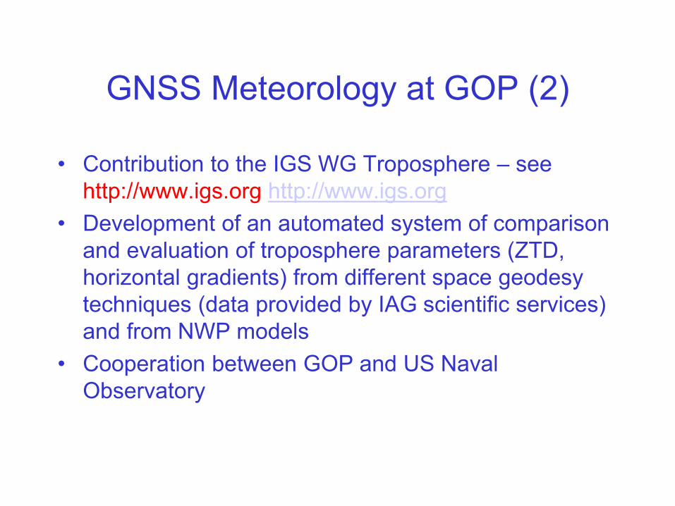
GNSS Meteorology at GOP (2)
• Contribution to the IGS WG Troposphere – see
http://www.igs.org http://www.igs.org
• Development of an automated system of comparison
and evaluation of troposphere parameters (ZTD,
horizontal gradients) from different space geodesy
techniques (data provided by IAG scientific services)
and from NWP models
• Cooperation between GOP and US Naval
Observatory
GNSS Meteorology at GOP (3)
• Development and assessment of tropospheric model for
augmented GNSS positioning and navigation (ESA)
• Development of advanced methods of GNSS processing in
synergy with meteorological and climatological data – activities
in support of GNSS4SWEC: Benchmark and RT campaign for
development, evaluation and demonstration of troposphere
products
• COST ES1206: WG1 (Advanced GNSS Processing
Techniques); data and product preparation for Benchmark
campaign – slant TD from GNSS, WVR and NWM; systém of
monitoring and evaluation of the results

IDS Analysis Centre GOP
• Contribution to the DORIS combination for the realization of
ITRF 2014
• Testing SAA data correction model for Jason-1 satellite and its
impact on precise positioning
• Implementation and testing Jason-2 attitude
• Analysis of the impact of „cross track harmonic parameters“ on
positioning
• DORIS long time series processing (coordinates, troposphere,
EOP, orbit parameters) 2006 – 2016 with special regard to
modelling earth gravity field parameters and ocean tidal
variations
• OPTIDOR – model optimization
• Standards for DORIS processing

GOP participation in international
projects• E-GVAP-III, GNSS4SWEC – COST ES1206
• Development and Assessment of Regional Tropospheric Model
for Augmented GNSS Positioning and Navigation (ESA)
• EPOS - through the CzechGeo project: GNSS, gravimetry,
PPGNet – GNSS CORS array in Greece
• EPOS-IP (H2020) – development of GLASS system for an
efficient data distribution; Anubis modification
• EUPOS® – contribution to ECC
• CEGRN Consortium – MoU between CEGRN and EUREF
• EGNOS - SPMS (GSA)
• GRC (GSA)

Monitoring and reporting of the Czech
permanent GNSS sites – Analysis Center
GOP
• Check of stability and quality
• Currently 123 stations in monitoring
• Rapid solution used as a basis
• EPN processing standards and guidelines
• 8:00 UTC the daily solution compared with
coordinates + statistical test
• Limits: 7mm, 7 mm and 15 mm for N,E,U
components
• Reporting for NMA

ECGN, gravity, geodynamics• Very precise levelling lines in the geodynamic network (long-
term (2007 – 2015) rms/1 km error 0.88 mm)
• Gravity field stability control around GO Pecny (LSO)
• Detailed gravimetric measurements in support of gravimetric quasigeoid OGZÚ-2013 improvement (825 gravity points)
• superconducting (OSG-050) and absolute gravimetry (FG5 No. 215 and FG5X) at GOP, environmental effects on gravity, contribution to GGP
• Absolute gravity measurements: Hungary, Slovakia, Czech Republic)
• Operation of 6 permanent GNSS stations in Greece in support of regional tectonic movements detection
• Repeated absolute gravity measurements at GNSS permanent stations (3 EPN): GOPE (11), POL1 (3), KUNZ (3), ZDIB (3), PLZE (2), BRNO (2) → ECGN approach
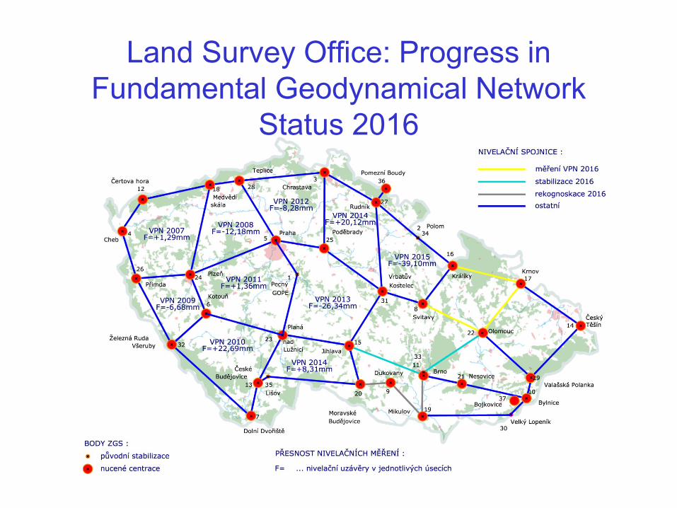
Land Survey Office: Progress in
Fundamental Geodynamical Network
Status 2016
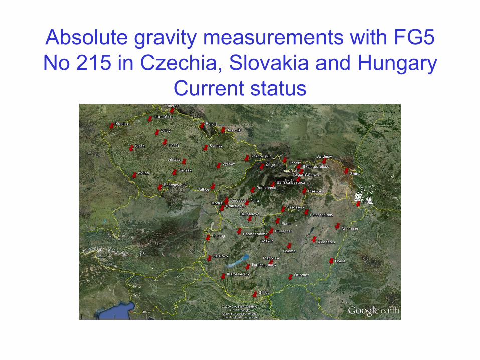
Absolute gravity measurements with FG5
No 215 in Czechia, Slovakia and Hungary
Current status

List of absolute gravity stations measured by
GOP absolute gravimeter FG5X 2016 - 2017
Czech Republic
• PECNY
• PLZEŇ ZČÚ
• POLOM
• PRAHA
• LITOMĚŘICE
• KUNŽAK
• BRNO
• BENEŠOV NAD ČERNOU
Slovakia
• LOMNICKÝ ŠTÍT
• SKALNATÉ PLESO
• STARÁ LESNÁ
• ŠTART
Hungary
• BUDAPEST
• CSEMÖ
• DEBRECEN
• FELSÖTÁRKÁNY
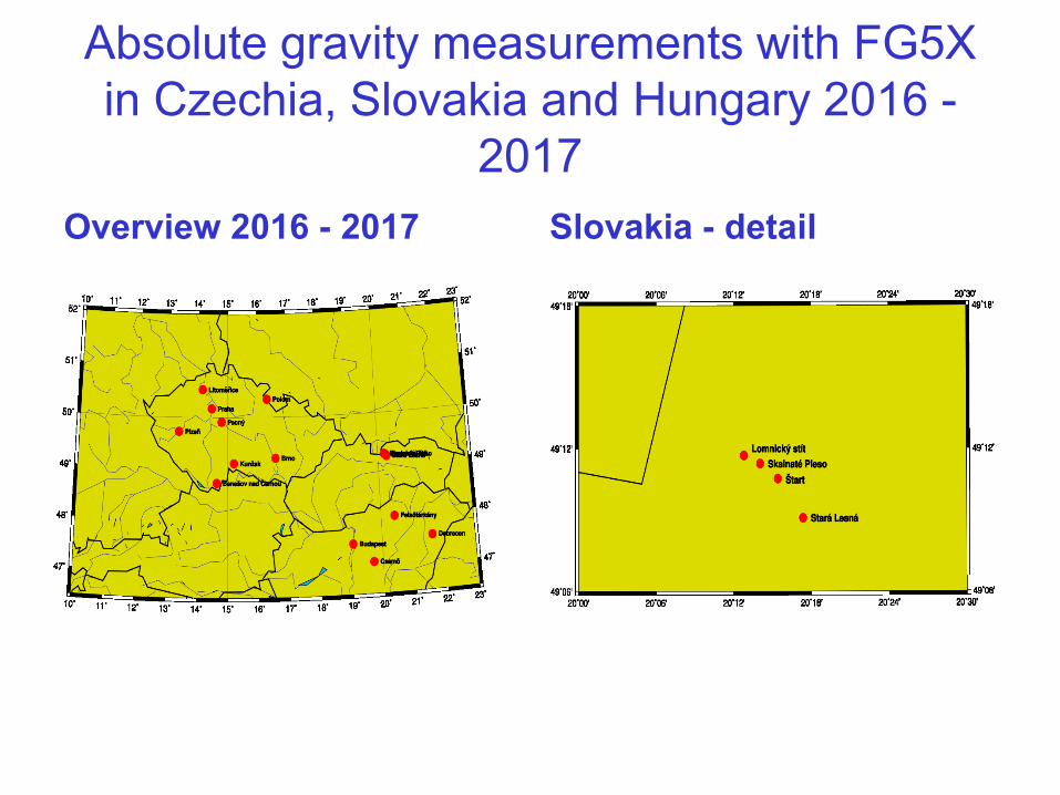
Absolute gravity measurements with FG5X
in Czechia, Slovakia and Hungary 2016 -
2017
Overview 2016 - 2017 Slovakia - detail

Tidal Gravimetry at GO Pecný
and Environmental Effects
• gravity time series by superconducting GWR OSG-050 and by LCR 137
• calibration by FG5 No. 215 and FG5X absolute gravimeters
• very broadband 3-D seismometer
• climatological station
• meteorological parameters
• WV radiometry
• soil moisture
• ground water level
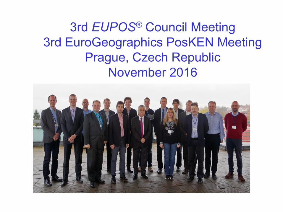
3rd EUPOS® Council Meeting
3rd EuroGeographics PosKEN Meeting
Prague, Czech Republic
November 2016
Thank you for your attention !
for more detailed information please visit
http://czepos.cuzk.cz
http://www.cuzk.cz
http://pecny.cz