geography : the study of earth’s surface and the way people use it. 5 themes of geography ...
TRANSCRIPT

Geography: the study of Earth’s surface and the way
people use it.5 Themes of Geography
Location: the place where it can be found Place: shaped by physical and human
features Human-environment interactions: the
ways in which people and their surroundings interact
Movement: where, how, and why people, goods, and ideas travel from one place to another
Regions: areas with at least one feature that makes it different from other areas.
Geography

A map is a drawing that shows all or part of Earth
on a flat surface.Map Features
Map title: tells subject of the map Map key: explains the symbols used on a map Inset map: smaller map within a larger one Locator: small map or globe that shows where
the place on the main map is located within a larger area
Map scale: compares distance on the map to a distance in the real world.
Compass rose: shows direction
Maps

A compass rose shows direction
Cardinal directions: North, South, East, West
Intermediate directions: directions between the
cardinal directions. Northeast, Southeast, Northwest,
Northeast
Compass Rose

Lines that cross each other on a map. These lines
form a pattern of squares called a grid system.
Around the grid there are numbers and letters. Each
square on the map can be identified by its letter and
number.
Grid System

Chapter 1
Exploring the United States

Lesson 1
Where is the United States?

Global AddressHemisphere: halves of Earth
Two imaginary lines divide the earth into hemispheres
Equator: circles Earth halfway between the North Pole and the South Pole. The equator separates the earth into the Northern hemisphere and the Southern hemisphere.
Prime meridian: divides the Earth into Western and Eastern hemisphere

Hemispheres

Equator and Prime Meridian

ContinentsContinents: largest land areas on Earth
North AmericaSouth America
AfricaEurope
AsiaAustralia
Antarctica
Major Oceans: Pacific, Atlantic, Indian, Southern, Arctic

Continents and Oceans
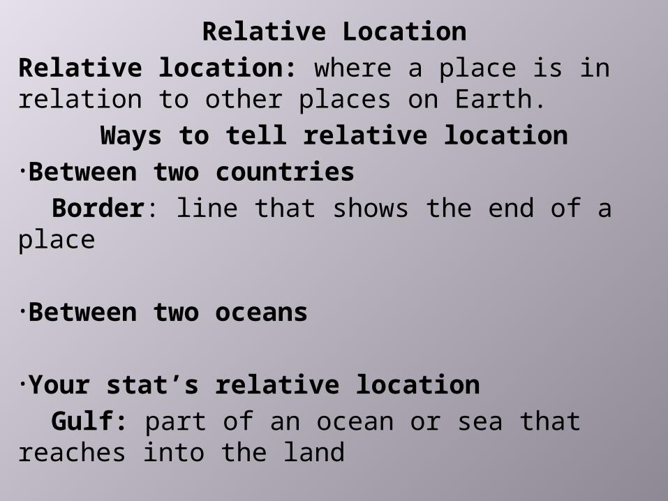
Relative LocationRelative location: where a place is in relation to other places on Earth.
Ways to tell relative location•Between two countries
Border: line that shows the end of a place
•Between two oceans
•Your stat’s relative locationGulf: part of an ocean or sea that reaches
into the land

Where is the United States?The United States is located on the continent of
North America in the Northern and Western hemispheres. It’s borders are the Atlantic
Ocean, the Pacific Ocean, the Gulf of Mexico, Canada, and Mexico .

Latitude and LongitudeBy stating latitude and longitude you can describe the absolute location, or exact location of a place.
Lines of latitude: run east and west. The equator is a line of latitude.Lines of longitude: run north and south. The prime meridian is a line of longitude

Lesson 2
The American Landscape
What are the major landforms in the United States?

LandformsLandforms are features such as mountains, hills, valleys, and plains.

In the EastLand at sea level is level with the surface of the ocean
The Coastal Plain:. Area of low land that lies along the coast of an ocean. The flat area along the Atlantic Ocean is coastal plain.
The Appalachian Mountains: the highest lands in the eastern United States.
•stretches 1500 miles from Alabama into Canada•the oldest mountains in North America

In the MiddleThe Interior Plains:. huge area of low, grassy lands. Reach north from Mexico through the middle of the United States into Canada.
•The Central Plains: eastern part of Interior plains. Wide rivers, grassy hills, and forests.
•Great Lakes: 5 connected lakes; Superior, Michigan, Huron, Erie, and Ontario
•The Great Plains: a vast high plateau of semiarid grassland.
•Plateau: high flat area of land

A Mighty RiverMississippi River: one of the longest rivers in North America. It runs through the middle of the Interior Plains. Source is small lake in Minnesota. Flows south for 2,340 miles. Tributaries are Ohio, Missouri, and Arkansas Rivers.
Source: the place where a river beginsTributary: river or stream that flows into a
larger riverA river and its tributaries make up a river
system
Mouth of a river is the place where it empties into a larger body of water.

In the WestTall mountains, deep valleys, green forests, vast
deserts, and rocky coastlineThe Rocky Mountains (Rockies): first mountain you see in the west. Longest mountain range. Stretch more than 3000 miles from Mexico to Alaska
West of the RockiesIntermountain Region: land between mountain ranges. The Great Basin covers the middle part of the this region.
basin: low bowl shaped land with higher ground around it
canyon: a deep narrow valley with steep sidesPacific Mountains and Valley
The Sierra Nevada, Cascade Range, and Coast RangesRun through California, Oregon, and Washington

Summary
The United States has many different landforms. Some parts of the country have tall mountains. Other parts have flat plains and plateaus or deep valleys and canyons. The United States also has long coastlines and many large rivers and lakes.

Lesson 3Climate in the United States

How to describe weatherTemperature: how hot or cold the air isPrecipitation: the amount of water that falls to Earth’s surface as rain, sleet, or snow. Wind: air blowing
The temperature, the wind, and precipitation in a place on any given day
make up the weather.

What is climateClimate: the kind of weather a place has over a long time
Effects of weather and climate•What clothes people wear•Where people choose to live•How people earn a living •What people do for fun

Variety of ClimateHow Far from the equator? the closer a place is to the equator, the warmer it usually is
What is the elevation? Temperatures become cooler as they go higher above sea level
How far from the ocean? Oceans warm the land near the coast in winter and cool it in summer
humidity: moisture in the air
What landforms are nearby?

Line GraphLine graph: shows changes over time
Parts of a line graph•Title: tells us what the graph is about.•Labels: horizontal label across the bottom and the vertical label along the side tells us what kinds of facts are listed.•Scales: horizontal scale across the bottom and the vertical scale along the side tell us how much or how many.•Points: show us the facts.•Lines: connects the points and give estimates of the values between the points.

Line Graph

Lesson 4Natural Resources

What is a natural resource?Something found in nature that people can
use such as water, soil and trees.
Land resources•Soil•Trees
Renewable resources: a resource which is replaced naturally and can be used again. Examples are: oxygen, fresh water, solar energy, timber, and biomass.

Water ResourcesWater is our most important resource
Getting fresh waterLakes, rivers, streams, and groundwater supply almost all the fresh water people use.
Groundwater: the water that sinks beneath Earth’s surface when it rains or snows
Using water•Drinking, washing, cooking, boating
Industry: all the business that make one kind of product or provide one kind of service

Minerals and FuelsMinerals: natural substances found in rocks.
•Copper, gold, silver
Fuels: a natural resource that is used to make heat or energy
Nonrenewable resourcesResources that cannot be replaced. Once they are used they cannot be replaced

People and Resources
When people use natural resources they change their environment, (where people, plants, and animals live).
Using resource wisely Conservation: protecting of natural resources and using them wisely