geomatica image management system (gims) · pdf filegeomatica image management system (gims)...
TRANSCRIPT
___________________________________________________________________________________
Geomatica Image Management System (GIMS)
A PCI Geomatics White Paper
October 2006
Geomatica Image Management System (GIMS) Page 1
Table of Contents
1. Introduction......................................................................................................2 2. GIMS controls costs in a spatially enabled enterprise................................3 3. GIMS eases the challenge of image management and distribution...........3
3.1 Loading the data .......................................................................................5 3.2 Storing the data.........................................................................................5 3.3 Accessing, processing, and distributing the data......................................6
4. Making a difference .........................................................................................7 5. Summary ..........................................................................................................9 Appendix A: GIMS prototypes...........................................................................10 Appendix B: GIMS key features ........................................................................10
Geomatica Image Management System (GIMS) Page 2
1. Introduction
The increasing use of geospatial data in today’s daily planning and decision-making workflows has brought about an influx of imagery to various industries. This influx has created the need for a better image management solution — one that provides:
• Better storage methods for handling large amounts of data
• Rapid image processing capabilities
• Efficient and effective means of sharing and retrieving data
• Support for terabytes of geospatial data that can be accessed by users worldwide
• Access to the right software tools and application environments to view, manipulate, process, and analyze geospatial data
Traditional methods of image management have become costly and difficult to administer. These methods can no longer keep up with the size, abundance, and time-sensitive requirements of today’s geospatial data. Instead of storing the data in one central location, these methods store data in multiple forms of media, such as hard copy, CD, DVD, laptops, multiple servers, and binary large objects (BLOBS). Consequently, the efficiency of an enterprise is limited, because images become difficult to manage, access, and store with other geospatial and non-geospatial data.
PCI Geomatics has overcome the challenges caused by the traditional raster image management methods with its enterprise solution: the Geomatica Image Management System (GIMS). With 25 years of experience in building image-centric geospatial solutions, PCI Geomatics can deliver a GIMS solution for any enterprise that manages and distributes geospatial imagery.
Thanks to its open architectural concept, GIMS allows specific components to be added as required. The core system includes utilities for loading data into the Oracle 10g database, including image data and any associated metadata. Add a web interface using eSpatial’s iSMART technology, or add PCI‘s Geomatica software as a thick client. In addition, the system will support any third-party software that can access Oracle data. This modular framework allows you to implement GIMS efficiently, with minimal disruption to your existing internal systems.
Geomatica Image Management System (GIMS) Page 3
2. GIMS controls costs in a spatially enabled enterprise
GIMS addresses an enterprise’s business needs by delivering a large amount of high-quality imagery at controlled administration and overhead costs. Critical spatial and business information about cities, natural resources, transportation, climate, and more are distributed quickly across the organization.
With GIMS, an enterprise can reduce its operating costs in five key areas:
• Resource allocation – By freeing up time spent on manual processing and delivery, the geospatial experts in an enterprise can focus more of their efforts on product quality and value-added services. The scripts that are offered with GIMS mitigate image processing errors and reduce the time to market. This reduces overall staffing needs for operating large systems and manually intensive processing tasks, resulting in better management and reduced costs.
• Round-the-clock processing – An enterprise is looking to get the best possible return on its hardware investment. Downtime and idle computers cost money. The GIMS automated processes, such as data loading and image transformations, can run around the clock (or at specific times) with minimal or no oversight by support staff.
• Scalability – Easily expand or upgrade your GIMS implementation with extra servers and processors. With Oracle 10g at its core, GIMS has a robust, scalable architecture.
• Extensibility – As your business grows, GIMS can grow with it. Insert, remove, or reorder image management tasks in a workflow and meet changing product demands.
• Oracle enterprise integration – Oracle databases are the undisputed industry standard for enterprises with large or complex storage, backup, recovery, and security requirements.
3. GIMS eases the challenge of image management and distribution
GIMS eases the challenge of image management and distribution by leveraging the power of state-of-the-art technologies. These technologies are used to develop a GIMS solution that best fits the enterprise, which often means using the enterprise’s existing software and architecture.
The state-of-the-art technologies that GIMS leverages are:
• Oracle® Spatial 10g, a robust, scalable, enterprise-scale database that supports geospatial image management and provides security, backup, and recovery capabilities
• PCI Geomatica®, a proven, rich suite of image-centric tools for geospatial processing, analysis, and mapping
• eSpatial iSMART®, an advanced geospatial Web platform that interacts with Oracle 10g Spatial, supporting vector data set manipulation and image distribution through any Web client
With these technologies, GIMS performs the following main functions:

Geomatica Image Management System (GIMS) Page 4
• Loading spatial data
• Storing spatial data
• Accessing, processing, and distributing spatial data
GIMS technology The ability to load image data and its metadata into a secure database, to access and retrieve images from that database, to process images with efficient toolsets, and to distribute images worldwide in minutes are all offered in the GIMS solution.
PCI Geomatics technology can load virtually any format of image data and transfer its metadata, supporting more than 100 geospatial formats. By transferring metadata to a raster-enabled database, users can query important historical and contextual information about the associated spatial data. The Oracle 10g Spatial database provides a secure environment for data storage, backup and recovery. Users can easily query the database and access many terabytes of imagery. These images can be assessed in Web viewers, such as iSMART, and in image processing thick clients, such as Geomatica Focus. With other Geomatica tools, users can process rasters and vectors and distribute them for analysis over a direct, secure link to an application tool, such as iSMART or any other Open Geospatial Consortium (OGC) Web coverage service.
Figure 1 shows the GIMS solution as a complete system. This diagram highlights the interoperability and flexibility of GIMS and its ability to integrate PCI Geomatics technology and tools with Oracle 10g Spatial and iSMART.
Figure 1 – GIMS solution
Geomatica Image Management System (GIMS) Page 5
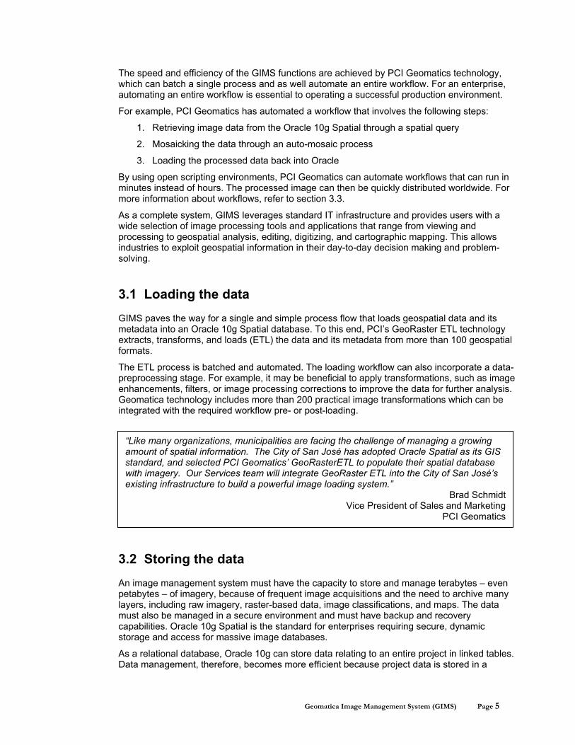
“Like many organizations, municipalities are facing the challenge of managing a growing amount of spatial information. The City of San José has adopted Oracle Spatial as its GIS standard, and selected PCI Geomatics’ GeoRasterETL to populate their spatial database with imagery. Our Services team will integrate GeoRaster ETL into the City of San José’s existing infrastructure to build a powerful image loading system.”
Brad Schmidt Vice President of Sales and Marketing
PCI Geomatics
The speed and efficiency of the GIMS functions are achieved by PCI Geomatics technology, which can batch a single process and as well automate an entire workflow. For an enterprise, automating an entire workflow is essential to operating a successful production environment.
For example, PCI Geomatics has automated a workflow that involves the following steps:
1. Retrieving image data from the Oracle 10g Spatial through a spatial query
2. Mosaicking the data through an auto-mosaic process
3. Loading the processed data back into Oracle
By using open scripting environments, PCI Geomatics can automate workflows that can run in minutes instead of hours. The processed image can then be quickly distributed worldwide. For more information about workflows, refer to section 3.3.
As a complete system, GIMS leverages standard IT infrastructure and provides users with a wide selection of image processing tools and applications that range from viewing and processing to geospatial analysis, editing, digitizing, and cartographic mapping. This allows industries to exploit geospatial information in their day-to-day decision making and problem-solving.
3.1 Loading the data
GIMS paves the way for a single and simple process flow that loads geospatial data and its metadata into an Oracle 10g Spatial database. To this end, PCI’s GeoRaster ETL technology extracts, transforms, and loads (ETL) the data and its metadata from more than 100 geospatial formats.
The ETL process is batched and automated. The loading workflow can also incorporate a data-preprocessing stage. For example, it may be beneficial to apply transformations, such as image enhancements, filters, or image processing corrections to improve the data for further analysis. Geomatica technology includes more than 200 practical image transformations which can be integrated with the required workflow pre- or post-loading.
3.2 Storing the data
An image management system must have the capacity to store and manage terabytes – even petabytes – of imagery, because of frequent image acquisitions and the need to archive many layers, including raw imagery, raster-based data, image classifications, and maps. The data must also be managed in a secure environment and must have backup and recovery capabilities. Oracle 10g Spatial is the standard for enterprises requiring secure, dynamic storage and access for massive image databases.
As a relational database, Oracle 10g can store data relating to an entire project in linked tables. Data management, therefore, becomes more efficient because project data is stored in a
Geomatica Image Management System (GIMS) Page 6
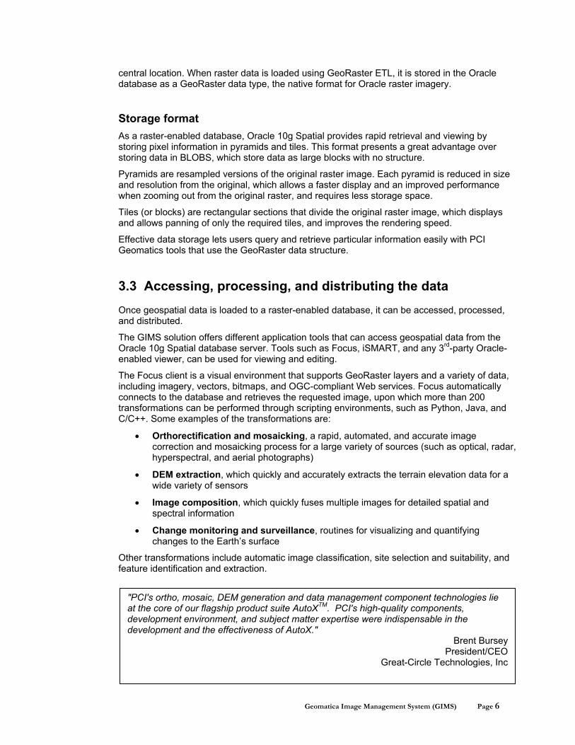
"PCI's ortho, mosaic, DEM generation and data management component technologies lie at the core of our flagship product suite AutoXTM. PCI's high-quality components, development environment, and subject matter expertise were indispensable in the development and the effectiveness of AutoX."
Brent Bursey President/CEO
Great-Circle Technologies, Inc
central location. When raster data is loaded using GeoRaster ETL, it is stored in the Oracle database as a GeoRaster data type, the native format for Oracle raster imagery.
Storage format As a raster-enabled database, Oracle 10g Spatial provides rapid retrieval and viewing by storing pixel information in pyramids and tiles. This format presents a great advantage over storing data in BLOBS, which store data as large blocks with no structure.
Pyramids are resampled versions of the original raster image. Each pyramid is reduced in size and resolution from the original, which allows a faster display and an improved performance when zooming out from the original raster, and requires less storage space.
Tiles (or blocks) are rectangular sections that divide the original raster image, which displays and allows panning of only the required tiles, and improves the rendering speed.
Effective data storage lets users query and retrieve particular information easily with PCI Geomatics tools that use the GeoRaster data structure.
3.3 Accessing, processing, and distributing the data
Once geospatial data is loaded to a raster-enabled database, it can be accessed, processed, and distributed.
The GIMS solution offers different application tools that can access geospatial data from the Oracle 10g Spatial database server. Tools such as Focus, iSMART, and any 3rd-party Oracle-enabled viewer, can be used for viewing and editing.
The Focus client is a visual environment that supports GeoRaster layers and a variety of data, including imagery, vectors, bitmaps, and OGC-compliant Web services. Focus automatically connects to the database and retrieves the requested image, upon which more than 200 transformations can be performed through scripting environments, such as Python, Java, and C/C++. Some examples of the transformations are:
• Orthorectification and mosaicking, a rapid, automated, and accurate image correction and mosaicking process for a large variety of sources (such as optical, radar, hyperspectral, and aerial photographs)
• DEM extraction, which quickly and accurately extracts the terrain elevation data for a wide variety of sensors
• Image composition, which quickly fuses multiple images for detailed spatial and spectral information
• Change monitoring and surveillance, routines for visualizing and quantifying changes to the Earth’s surface
Other transformations include automatic image classification, site selection and suitability, and feature identification and extraction.

Geomatica Image Management System (GIMS) Page 7
Distributing the data After the images are loaded and processed, they can be distributed to multiple users through the iSMART Web feature server and client, the Web Coverage Server (WCS), and the Focus viewing environment.
iSMART is an OGC-compliant, Web-based interface that maintains a tight integration with the Oracle database platform. Its advanced GIS editing capabilities allow users to create and view maps, edit vectors, and conduct analyses. iSMART further provides users with control over their geospatial data through its interface and lets users share their processed imagery worldwide.
As part of its continued dedication to open standards, PCI Geomatics offers a WCS that is based on OGC specifications for the GIMS solution. The WCS is a server through which users can obtain raw or grid-based data from the Oracle database in the requested output format and distribute it worldwide.
The iSMART, WCS, and Focus technologies can be combined to access, process, and distribute images. For example, Focus can be used to retrieve a QuickBird image from the Oracle 10g Spatial database. PCI Geomatics scripts pansharpen the multispectral and panchromatic image bands into a single, high-resolution color image. The processed or transformed image can then be viewed and shared through iSMART and published through the WCS.
Figure 2 – GIMS iSMART web client
Geomatica Image Management System (GIMS) Page 8
4. Making a difference
Backed by its Professional Services team and industry-leading partner technologies, PCI Geomatics enables an enterprise to leverage its expert knowledge and experience in implementing the right GIMS solution. This makes each GIMS solution unique and customizable, while built from a common set of tools and functions.
For many enterprises, images and other geospatial data are required to predict and model risks posed by security threats and disasters such as floods, earthquakes, and fire. This work presents several challenges, including working with various data formats and large data sets. In addition, manual processes for risk assessment modeling, analysis, and presentation are cumbersome, and prone to errors and time delays. In these instances, GIMS can be used to perform a variety of related tasks, such as:
• Tracking assets and identifying changes over time with vector and raster data
• Performing change detection for planning, disaster management, and routing
• Locating and monitoring changes in the land base for zoning and tax assessment purposes
The value-added services that GIMS offers ensure:
• Seamless integration and scalability in any enterprise
• Delivery of high-performance data in a secure environment at reduced administration and overhead costs
GIMS is the underlying technology of the Mapping Centre project developed by PCI Geomatics for Natural Resources Canada (NRCan) and for Agriculture and Agri-Food Canada (AAFC).
The development of the Mapping Centre project is described in Appendix A. Appendix B describes the key features of GIMS.
“We’re proud to have supported PCI Geomatics in the development of their first GeoCapacity Information System – the Mapping Centre. PCI’s leading image-centric geomatics solutions combined with the Oracle 10g Spatial GeoRaster data management platform provide robust, scalable, secure geospatial solutions that truly empower the enterprise. We look forward to our future together, and are pleased that PCI has selected Oracle as their exclusive partner of choice.”
Jack Pellicci Brigadier General, US Army (Ret.) Group VP, Business Development
Oracle North American Public Sector

Geomatica Image Management System (GIMS) Page 9
5. Summary
The flexible and open architecture of GIMS provides a comprehensive and robust solution that meets the challenge of image management and distribution. Whether it leverages the power of its state-of-the-art partner technologies, or is developed as a customized solution for an enterprise to leverage existing systems, GIMS sets the standard in expediting the planning and decision-making workflows.
With GIMS, an enterprise can benefit from:
• An integrated approach to storing data and its metadata in text, vector, and raster formats in one central location (that is, in a database)
• A streamlined approach to data management by using data loading tools, such as GeoRaster ETL and scripting, for image transformations and image management workflows
• Easy, secure Web access to data stored in the database, both from within and outside the enterprise, including access through SQL
• Leveraging the Oracle 10g Spatial functions, such as processing scalability, backup and recovery, security, Web enablement, and distributed database
• Leveraging the iSMART capabilities, such as accessing images stored in Oracle, editing associated data layers, and sharing them over the Web
• Version and metadata tracking
For almost 25 years, PCI Geomatics has been making software that turns images into information. With its application expertise, market-leading technology, and enterprise-based approach, PCI Geomatics knows how to design and implement a GIMS solution that is right for each unique enterprise. Throughout its life cycle, GIMS can be counted on to provide high-performance data in a secure environment in less time to market, which allows experts in an enterprise to shift their skills to improving product quality and enhancing value-added services.
Geomatica Image Management System (GIMS) Page 10
Appendix A: GIMS prototypes
PCI Geomatics leverages the GIMS solution in the Mapping Centre prototypes it has created for Natural Resources Canada (NRCan) and Agriculture and Agri-Food Canada (AAFC).
The Mapping Centre reduces image-processing and map-generation time from days to minutes. The GIMS solution is the underlying technology that allows the Mapping Centre to achieve such stunning efficiency.
After the data and its metadata are loaded into the Oracle 10g Spatial database, preprocessing tasks, such as orthorectification, are automatically performed by PCI Geomatics technology on the raw images and are stored in the same database.
When a request is submitted to the Mapping Centre for a certain type of map, such as a pan-sharpened image of a particular area, the Mapping Centre retrieves the preloaded image from the database. The image is automatically pan-sharpened by PCI Geomatics technology and is then displayed to the client in minutes. The processed image can then be shared on the Web using iSMART technology or the Geomatica web coverage service (WCS).
For the analysts at NRCan, the Mapping Centre answers the need to update vast national coverages, quickly disseminate critical information, and meet the demands of dozens of applications without building and maintaining dozens of mapping systems.
For analysts at AAFC, the Mapping Centre is designed to monitor agricultural land use, in terms of acres in crop versus acres in fallow, and to determine methods to spend less money on fertilizer, maximize crop yield, and select the best fields in which to plant a particular crop. In addition, automatic image classification has allowed AAFC more time to analyze results, while automatic change detection reports allow quick comparisons of land cover changes over a series of years.
Appendix B: GIMS key features
GIMS is comprised of the following key features:
• Open, client-server architecture
• Interoperability with PCI Geomatics image-centric tools and technology, Oracle 10g Spatial, iSMART, and third-party technologies
• Support for more than 100 geospatial formats
• PCI Geomatics-designed batch and automation tools for image management workflows, and for more than 200 image transformations
• Oracle 10g Spatial, which includes the following key features for GIMS:
o A secure, relational database where documents are stored separately from raster-enabled data and accessed by multiple users
o A variety of analysis tools that perform feature updates through Web browsers and thick and thin clients
o Support for loading metadata from source files
o The ability to update image attributes
o Quick access to archived raw imagery, maps, and classifications
• Distribution of large volumes of data by way of different platforms

Geomatica Image Management System (GIMS) Page 11
About PCI Geomatics PCI Geomatics is a world-leading developer of geospatial software, specializing in remote sensing, digital photogrammetry, spatial analysis, cartographic production, and, more recently, automated production systems. Today, with our trusted Geomatica brand, PCI Geomatics provides all the image-centric solutions necessary to meet the expectations of a large and expanding industry. Since 1982, the company and its reputation have continued to grow as a result of innovative leadership, strong technology partnerships, active geomatics community involvement, and a dedication to earn the trust of customers who use PCI Geomatics technology.
For more information, visit www.pcigeomatics.com.
Geomatica Image Management System (GIMS) Page 12
Geomatica Image Management System (GIMS) A PCI Geomatics Whitepaper Authors: Content Development Services, Marketing and Communications PCI Geomatics Enterprises Inc. 50 West Wilmot Street Suite 200 Richmond Hill, Ontario Canada, L4B 1M5 Phone: (905) 764-0614 Fax: (905) 764-9604 Email: [email protected] Web: www.pcigeomatics.com © 2006 PCI Geomatics Enterprises Inc.®. All rights reserved. COPYRIGHT NOTICE Software copyrighted © by PCI Geomatics, 50 West Wilmot St., Suite 200, Richmond Hill, ON CANADA L4B 1M5 Telephone number: (905) 764-0614 RESTRICTED RIGHTS Canadian Government Use, duplication, or disclosure by the Government is subject to restrictions as set forth in DSS 9400-18 “General Conditions – Short Form – Licensed Software”. U.S. Government Use, duplication, or disclosure by the Government is subject to restrictions set forth in subparagraph (b)(3) of the Rights in Technical Data and Computer Software clause of DFARS 252.227-7013 or subparagraph (c)(1) and (2) of the Commercial Computer Software-Restricted Rights clause at 48 CFR 52.227-19 as amended, or any successor regulations thereto. PCI, PCI Geomatics, PCI and design (logo), Geomatica, Committed to GeoIntelligence Solutions, GeoGateway, FLY!, OrthoEngine, RADARSOFT, EASI/PACE, ImageWorks, GCPWorks, PCI Author, PCI Visual Modeler, and SPANS are registered trademarks of PCI Geomatics Enterprises, Inc. All other trademarks and registered trademarks are the property of their respective owners.