geophysics case study
TRANSCRIPT

8/3/2019 Geophysics Case Study
http://slidepdf.com/reader/full/geophysics-case-study 1/3
Figure 1: shows Wenner’s convectional
four electrode array to measure the
subsurface resistivity.
( http://www.heritagegeophysics.com/imag
es/lokenote.pdf )
Geophysics case study
Geophysics is one of the major branches of Earth Sciences. It studies the Earth’s properties by
applying principles of Physics and using instruments for measurement. Geophysical surveys are
widely used by archaeologists to explore the areas of ground for archaeological sites. There are many
geophysical methods which are used to explore the areas. Some of the methods are shown below:
Electrical Resistivity Surveys:
They are used to determine the subsurface resistivity distribution by making measurements on
ground surface. From these measurements, we can estimate the resistivity of the subsurface and
map archaeological features. The measurements are made by
inserting four electrodes into the soil or rock. Current is
introduced in one of the pair of electrodes while voltage is
measured across the other electrodes pair. The depth of the
measurements is related to the electrode spacing.
The resistivity of soil is complicated function of permeability,
ionic content of pore fluids, clay mineralization and porosity.
The measurement of resistivity symbolizes the apparent resistivity averaged over volume of earth.
Resistivity measurements include resistivity profiling, sounding and imaging.
This method can be used to map archaeological sites and to measure bedrock and water table
depth. It can also be used to estimate metal corrosion rates and designing grounding grids.
The benefits are it has a good vertical resolution and create a detail 3D resistivity model. It has a
depth range of up to 200 feet and it has a wide variety of electrode configurations for different
applications.
Results can be affected by nearby metal fences, buried cables, pipes and soil conditions (too wet
or dry). The other problem is filtering out natural from anthropogenic anomalies.
1 | P a g e
[Type a quote from the
document or the summary of
an interesting point. You can
position the text box
anywhere in the document.
Use the Text Box Tools tab to
change the formatting of the
pull quote text box.]
[Type a quote from the
document or the summary of
an interesting point. You can
position the text box
anywhere in the document.
Use the Text Box Tools tab to
change the formatting of the
pull quote text box.]
Figure 2: shows
cross- section of
Electrical resistivity
imaging.( http://www.technos-
inc.com/pdf/SurfaceT
echnotes.pdf )

8/3/2019 Geophysics Case Study
http://slidepdf.com/reader/full/geophysics-case-study 2/3
Electromagnetic Survey:
They are used to determine the subsurface electrical conductivity and identify subsurface metal
objects. The method measures earth’s response to electromagnetic signals transmitted by an inductioncoil. At various frequencies, the induction coil produces magnetic field which induces electric current
in the material underground; resulting in secondary magnetic field.
The intensity of these magnetic fields is measured by electromagnetic sensor. High frequency signal
respond to shallow part of the ground, while low frequency signal respond to deeper part of the earth.
Based on these responses, magnetic susceptibility and electrical conductivity are calculated for each
frequency. Electrical conductivity is determined by nature of rock, water saturation, salinity and other
parameters.
This method can also be used to map archaeological sites. Electromagnetic measurements are
applicable of mapping contaminant plumes, buried wastes, tanks, metal utilities etc.
The benefits are it provides measurements with depths ranging up to 200 feet and the measurements
are relatively easy to make. The possible limitations are the effectiveness of measurements decreases
at very low conductivities. Results can be affected by interference of nearby metal pipes, fences,
vehicles and induced noise from power lines etc.
These two methods relates to the practical which is to identify a given metal using its resistivity. The
metal which I will identify can be used as an electrode in
Resistivity Surveys or if archaeologists find ancient materials
buried underground by these surveys. They can identify different
metals e.g. metals in crowns, armours, utensils etc. by this
practical.
Sources of information:
2 | P a g e
8/3/2019 Geophysics Case Study
http://slidepdf.com/reader/full/geophysics-case-study 3/3
http://www.geovision.com/PDF/M_Resistivity.pdf
http://www.technos-inc.com/pdf/SurfaceTechnotes.pdf
http://www.geophysical.biz/res1.htm
http://www.terraplus.com/case-histories/gpr/wynn.htm
http://physicsworld.com/cws/article/print/654
http://www.terra-au.com/Electromagnetics.asp
A J Clark 1996 Seeing Beneath the Soil: Prospecting Methods in Archaeology
(Batsford, London).
Telford, W. M., L. P. Geldart, and R. E. Sheriff, Applied Geophysics, 2nd edition ,
Cambridge University Press, 1990.
3 | P a g e
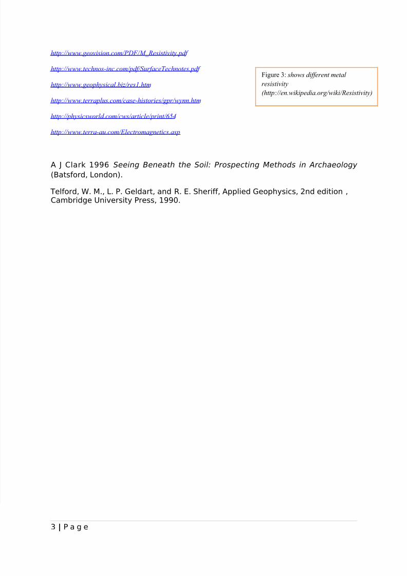
Figure 3: shows different metal
resistivity
(http://en.wikipedia.org/wiki/Resistivity)