gis “the hero” for next generation 911 joe sewash north carolina office of information...
TRANSCRIPT

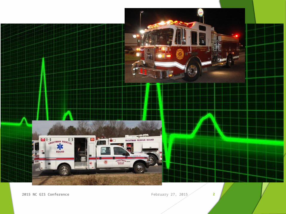
GIS “The Hero” for Next Generation
911Joe Sewash
North Carolina Office of Information Technology ServicesNC Center for Geographic Information and Analysis
2015 NC GIS Conference 2February 27, 2015

2015 NC GIS Conference 3February 27, 2015
2956517, ,2014
2015 NC GIS Conference 4February 27, 2015
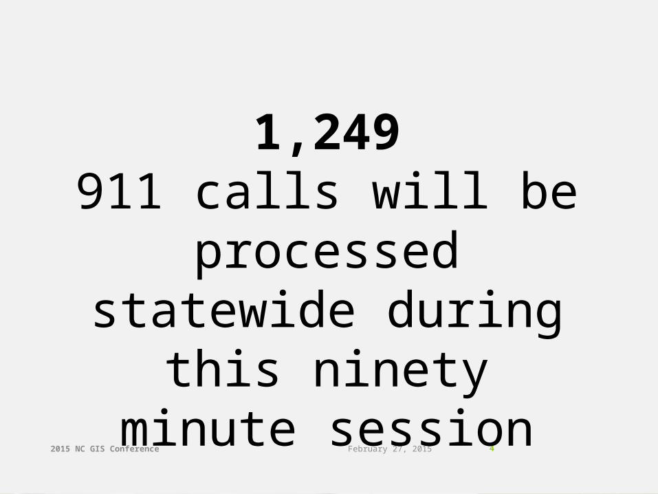
1,249911 calls will be
processed statewide during this ninety
minute session
2015 NC GIS Conference 5February 27, 2015
2015 NC GIS Conference 6February 27, 2015
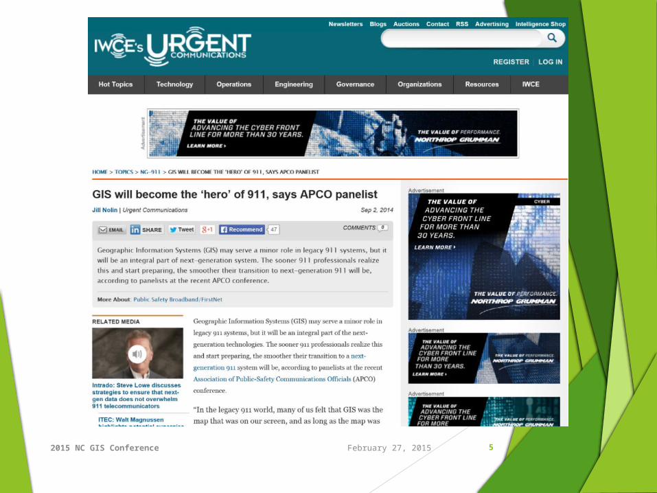
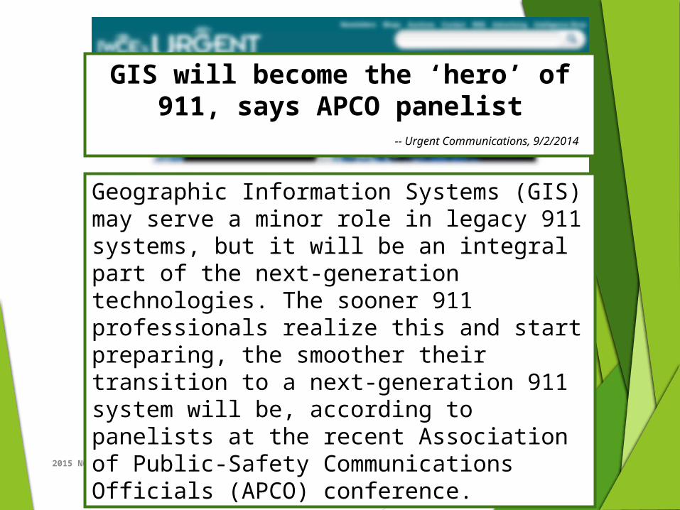
Geographic Information Systems (GIS) may serve a minor role in legacy 911 systems, but it will be an integral part of the next-generation technologies. The sooner 911 professionals realize this and start preparing, the smoother their transition to a next-generation 911 system will be, according to panelists at the recent Association of Public-Safety Communications Officials (APCO) conference.
GIS will become the ‘hero’ of 911, says APCO panelist
-- Urgent Communications, 9/2/2014

2015 NC GIS Conference 7February 27, 2015
GIS will become the ‘hero’ of 911, says APCO panelist
-- Urgent Communications, 9/2/2014
“As we shift focus to the future, GIS will become the hero in the next-generation 911 world and the basis for a lot of what happens. It’s really shifting the role from being a supporting role to being perhaps the heart and soul of call routing and many of the other functions. We’re shifting into this hugely geospatial world.”
-- Sean Petty, Mission Critical Partners
2015 NC GIS Conference 8
“…the heart and soul of call routing…”
Call routing: today
Emergency Service Number
Location determination
Call routing: NG scenario
Locational determination from call initiation
Location “travels” with the call through ESInet
GIS maps of PSAP coverage areas will route calls
Calls can be dynamically routed to backup / secondary sites
February 27, 2015

2015 NC GIS Conference 9February 27, 2015

2015 NC GIS Conference 10
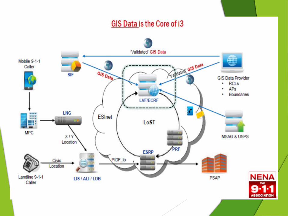
“… and many of the other functions.”
GIS maps for police, fire, EMS dispatch zones
GIS maps for dispatching other services (Hazmat, CDC, etc.)
AVL
Situational status / response
Sensor networks
Traffic cameras, road conditions, environmental sensors
Future possibilities …
February 27, 2015

2015 NC GIS Conference 11
Datasets and Standards
From NENA Standard for NG9-1-1 GIS Data Model
Required Datasets
Road centerlines (RCL)
Emergency Service Boundaries
Strongly Recommended Datasets
Road Alias Table
Site / Structure Addresses
State and County Boundaries
Cell Sites
February 27, 2015

2015 NC GIS Conference 12
GIS Data Maintenance
Discrepancy management
Strong vertical QC requirements between GIS data layers
Spatial Information Function (SIF)
February 27, 2015
2015 NC GIS Conference 13February 27, 2015

2015 NC GIS Conference 14
Beyond NextGen911 …
Pervasive improvements in data quality for other GIS applications and datasets
Tempo of update cycles
Stakes, visibility, and opportunity
February 27, 2015

2015 NC GIS Conference 15
Take Aways Be informed
Track and participate in evolving NC and national standards
Develop and maintainshared GIS datasets
Be engaged
Proactive relationships with 911 counterparts
Prioritize understandingand training
Gain trust
February 27, 2015

2014 NCLGISA Spring Symposium
Contact Information
Richard Taylor, ENP
Executive Director, NC 911 Board
[email protected], 919.754.6624
Joe Sewash, CGCIO
Program Manager, CGIA
[email protected], 919.754.6590
16