growing the geospatial workforce - geotech center · growing the geospatial workforce ... emerging...
TRANSCRIPT
Growing the Geospatial Workforce
Vincent A. DiNoto, Jr.Director of GeoTech [email protected]
Empowering Colleges: Expanding the Geospatial Workforce
Based upon work supported by the National Science Foundation
under Grant DUE ATE 1304591, 1644409, 1700496. Any
opinions, findings, and conclusions or recommendations
expressed in this material are those of the author(s) and do not necessarily reflect the views of the National Science Foundation.
GeoTech Center New Funding
Growing the Workforce The National Geospatial Technology Center of Excellence was notified in March of 2017 that it has received funding for an additional five years from the National Science Foundation (NSF) - Advanced Technological Education (ATE) (DUE 1700496).
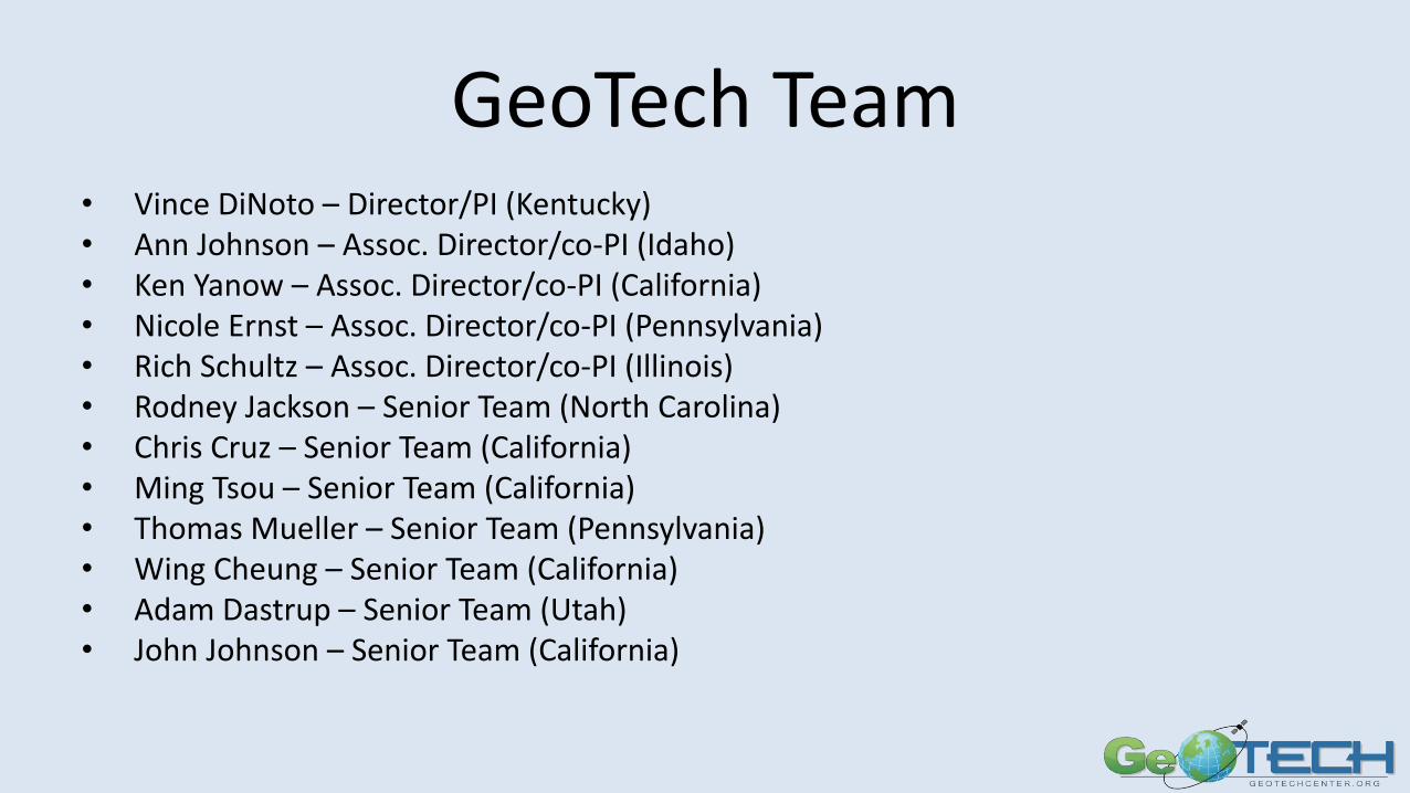
GeoTech Team• Vince DiNoto – Director/PI (Kentucky)• Ann Johnson – Assoc. Director/co-PI (Idaho)• Ken Yanow – Assoc. Director/co-PI (California)• Nicole Ernst – Assoc. Director/co-PI (Pennsylvania)• Rich Schultz – Assoc. Director/co-PI (Illinois)• Rodney Jackson – Senior Team (North Carolina)• Chris Cruz – Senior Team (California)• Ming Tsou – Senior Team (California)• Thomas Mueller – Senior Team (Pennsylvania)• Wing Cheung – Senior Team (California)• Adam Dastrup – Senior Team (Utah)• John Johnson – Senior Team (California)
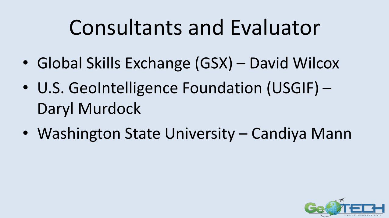
Consultants and Evaluator
• Global Skills Exchange (GSX) – David Wilcox
• U.S. GeoIntelligence Foundation (USGIF) –Daryl Murdock
• Washington State University – Candiya Mann
What’s New?The GeoTech Center will concentrate efforts on developing curriculum and professional development in areas which are rapidly evolving as related to Growing the Workforce, through both traditional and non-traditional educational offerings.
What’s New?The GeoTech Center will concentrate efforts on developing curriculum and professional development in areas which are rapidly evolving as related to Growing the Workforce, through both traditional and non-traditional educational offerings.
How does UAS Technologies fit into geospatial offerings?
Is there a place for GeoINT and location based intelligence in two-year college programs?
What are the needs of the incumbent workforce?
How has the field of study evolved since the last GTCM update?

GOAL 1 ACTIVITIES
Applied Research: Emerging Trends – investigate the needed skills and competencies for the GST workforce Domain.
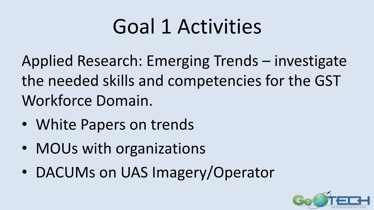
Goal 1 Activities
Applied Research: Emerging Trends – investigate the needed skills and competencies for the GST Workforce Domain.
• White Papers on trends
• MOUs with organizations
• DACUMs on UAS Imagery/Operator
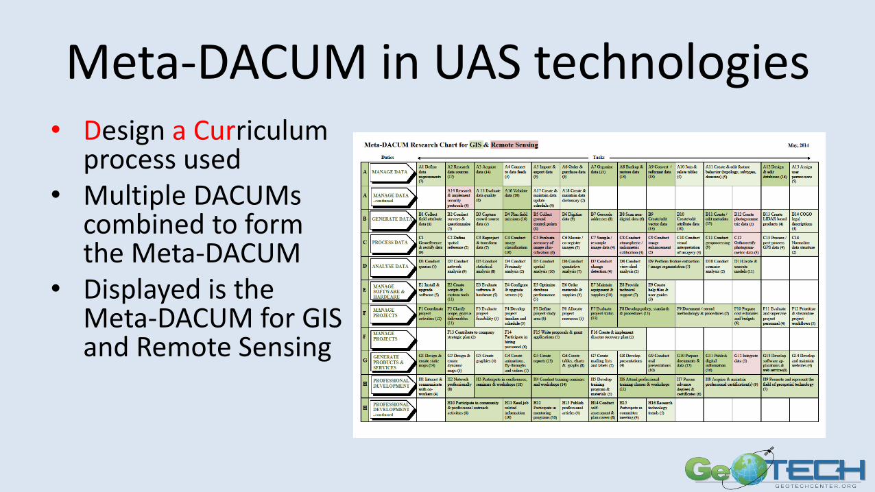
Meta-DACUM in UAS technologies• Design a Curriculum
process used• Multiple DACUMs
combined to form the Meta-DACUM
• Displayed is the Meta-DACUM for GIS and Remote Sensing
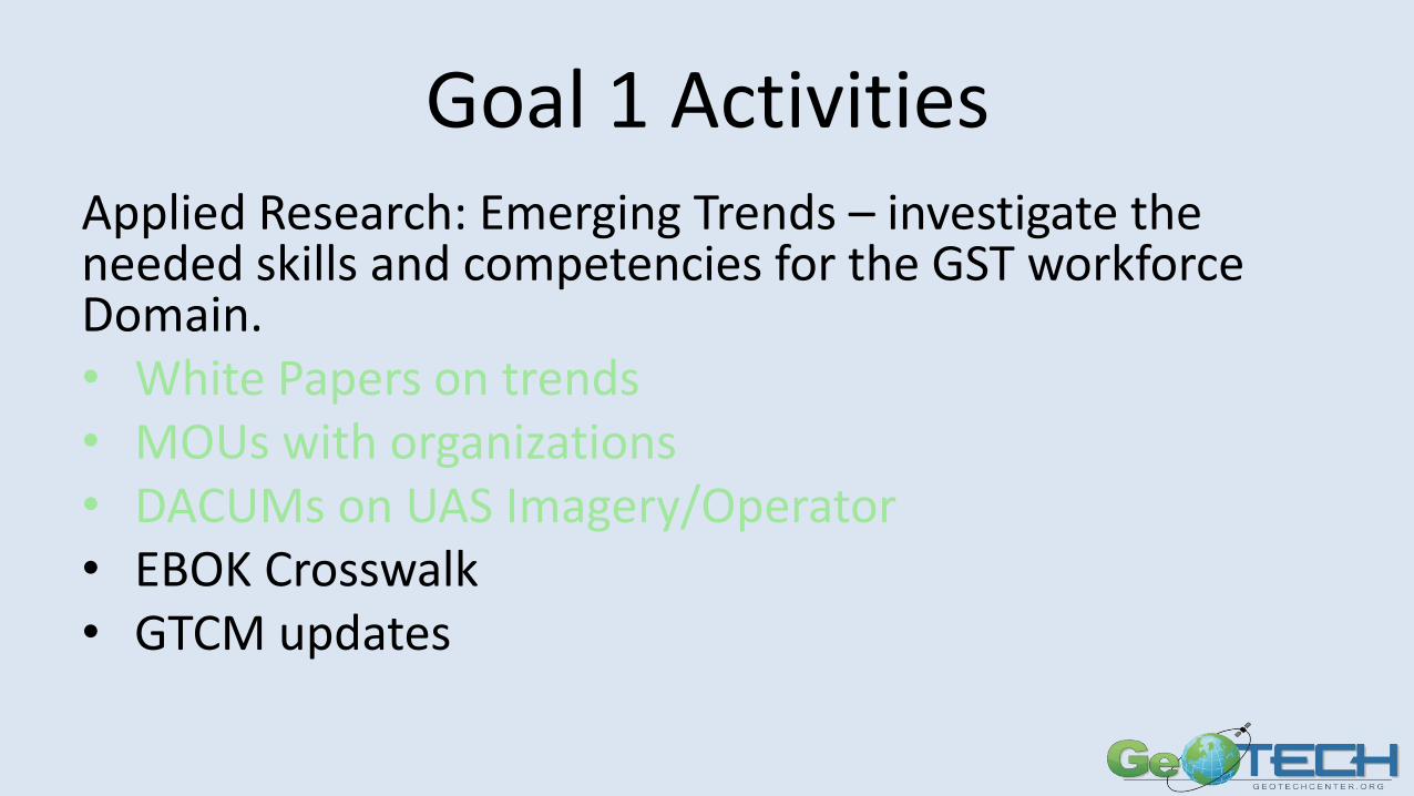
Goal 1 ActivitiesApplied Research: Emerging Trends – investigate the needed skills and competencies for the GST workforce Domain.• White Papers on trends• MOUs with organizations• DACUMs on UAS Imagery/Operator• EBOK Crosswalk• GTCM updates
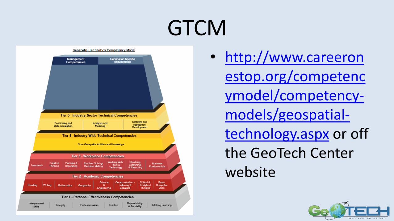
GTCM• http://www.careeron
estop.org/competencymodel/competency-models/geospatial-technology.aspx or off the GeoTech Center website
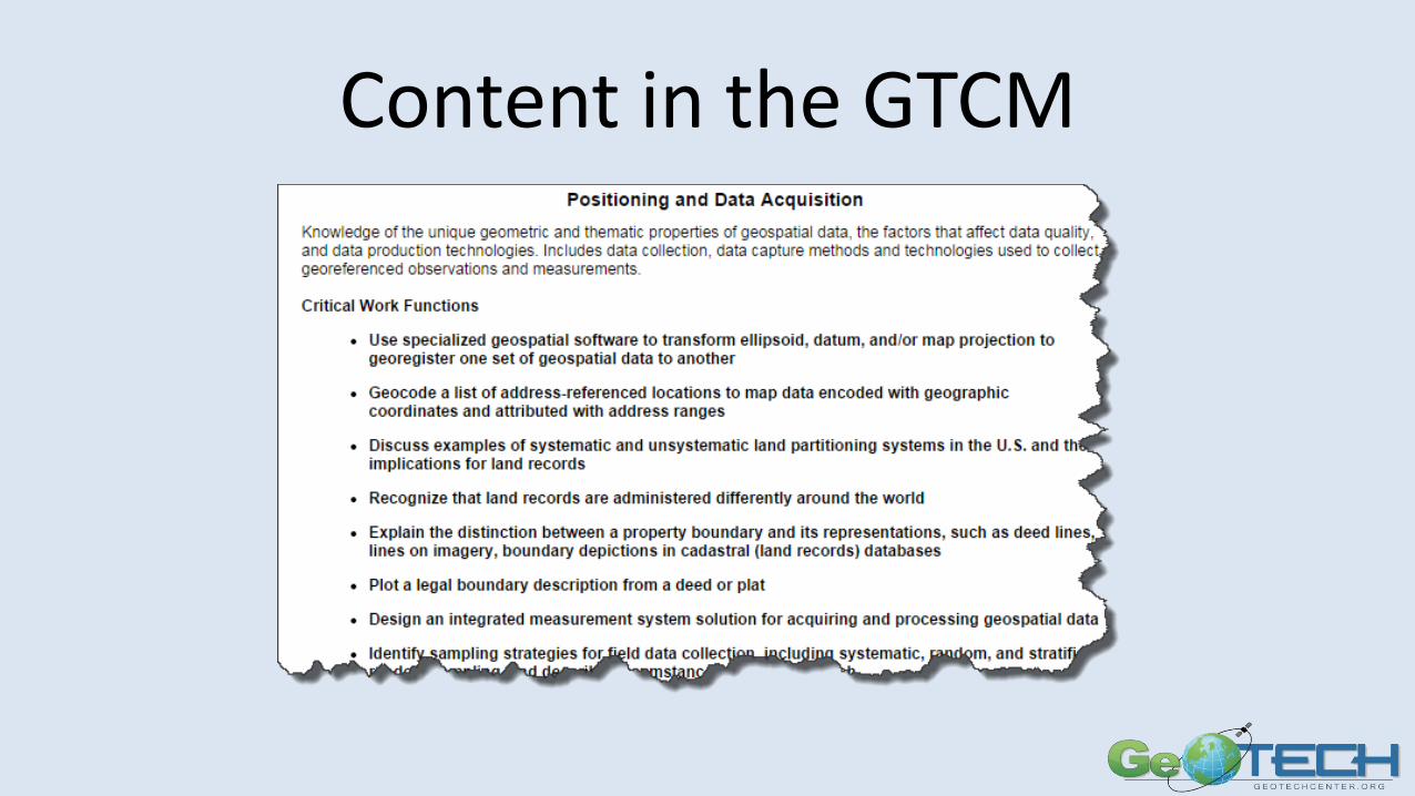
Content in the GTCM
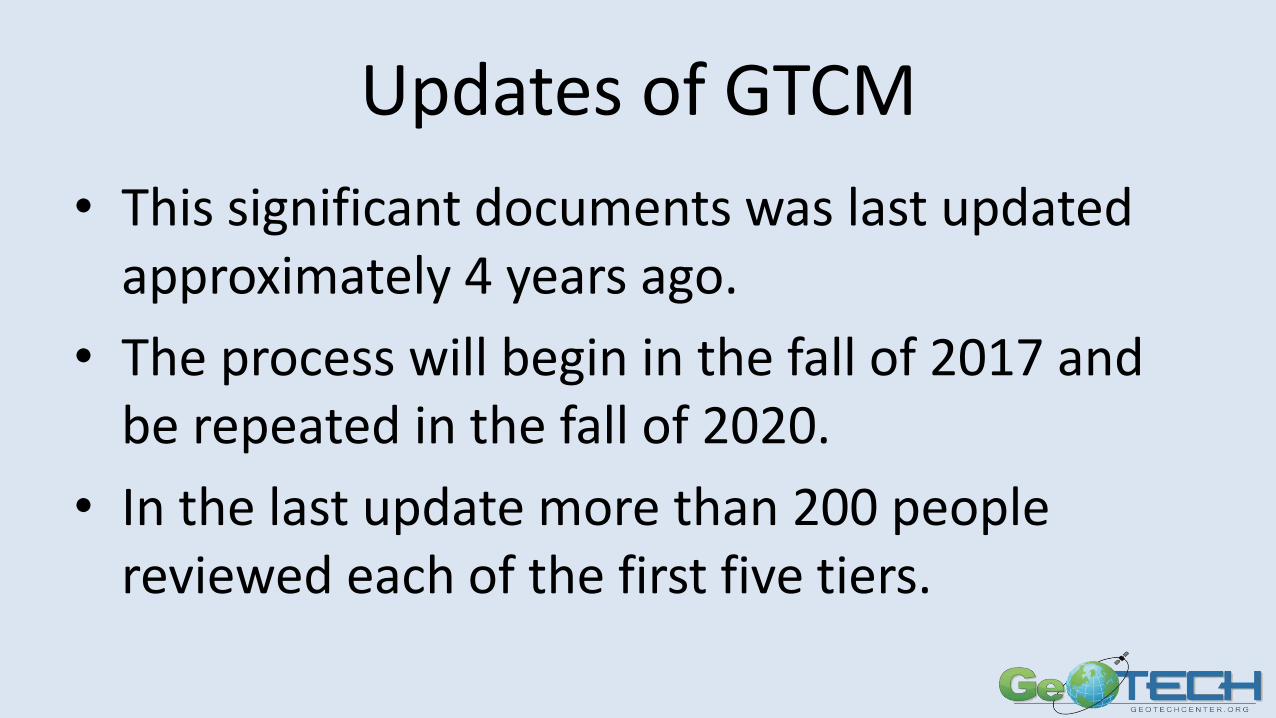
Updates of GTCM
• This significant documents was last updated approximately 4 years ago.
• The process will begin in the fall of 2017 and be repeated in the fall of 2020.
• In the last update more than 200 people reviewed each of the first five tiers.
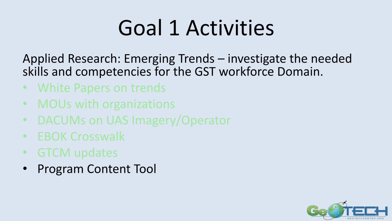
Goal 1 ActivitiesApplied Research: Emerging Trends – investigate the needed skills and competencies for the GST workforce Domain.• White Papers on trends• MOUs with organizations• DACUMs on UAS Imagery/Operator• EBOK Crosswalk• GTCM updates• Program Content Tool
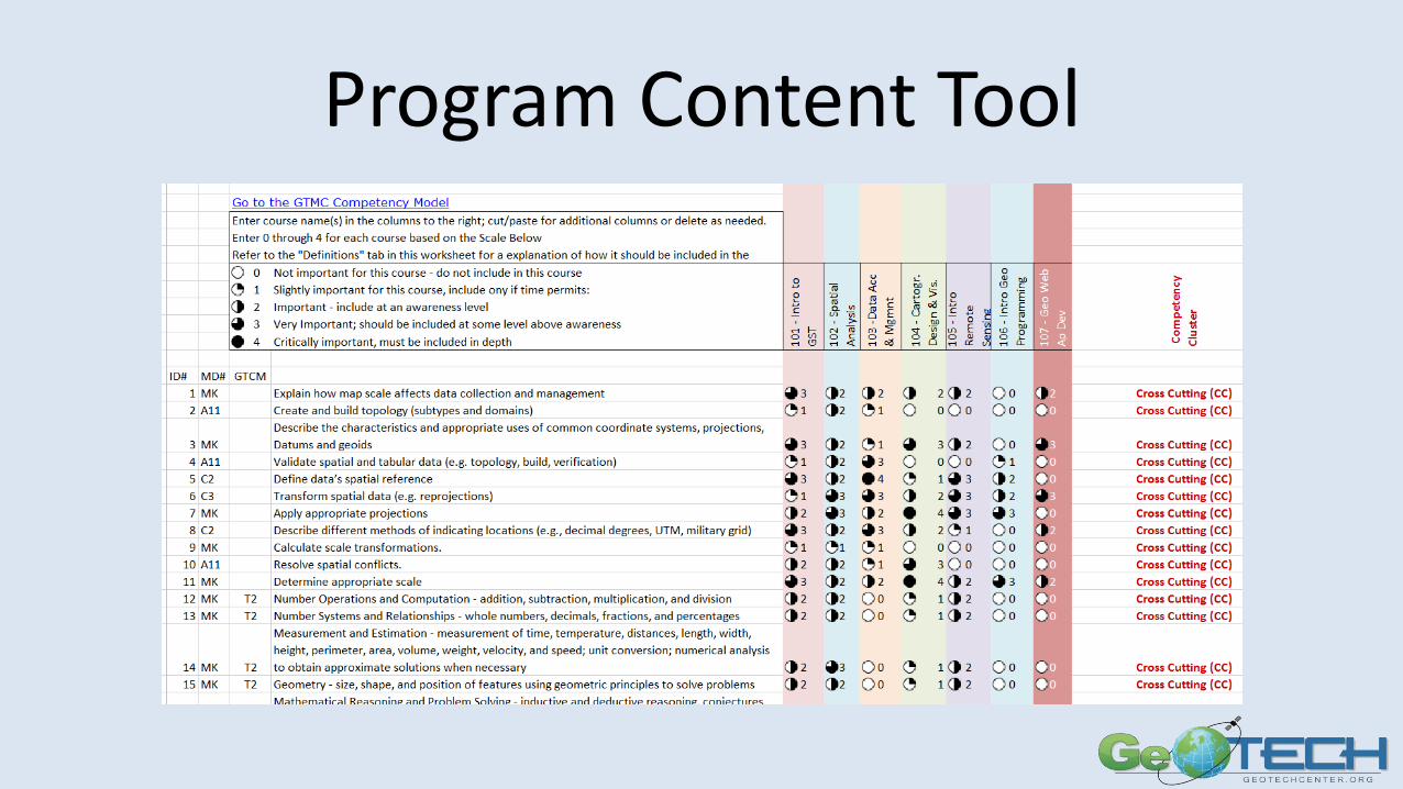
Program Content Tool
Goal 1 ActivitiesApplied Research: Emerging Trends – investigate the needed skills and competencies for the GST workforce Domain.• White Papers on trends• MOUs with organizations• DACUMs on UAS Imagery/Operator• EBOK Crosswalk• GTCM updates• Program Content Tool• Personal Assessment Tool
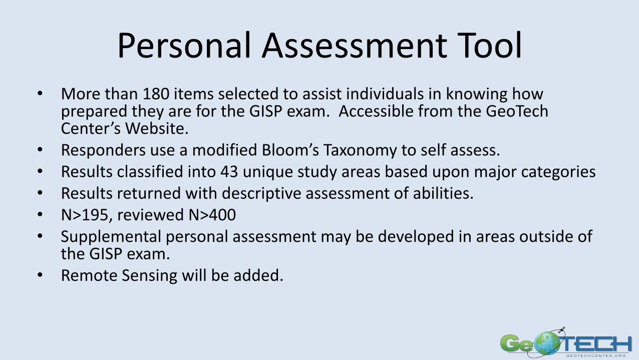
Personal Assessment Tool• More than 180 items selected to assist individuals in knowing how
prepared they are for the GISP exam. Accessible from the GeoTech Center’s Website.
• Responders use a modified Bloom’s Taxonomy to self assess.• Results classified into 43 unique study areas based upon major categories• Results returned with descriptive assessment of abilities.• N>195, reviewed N>400• Supplemental personal assessment may be developed in areas outside of
the GISP exam. • Remote Sensing will be added.
GOAL 2 ACTIVITIES
Curricular Materials Development – Prep materials for certifications, develop problem-centered, contextual and relevant materials
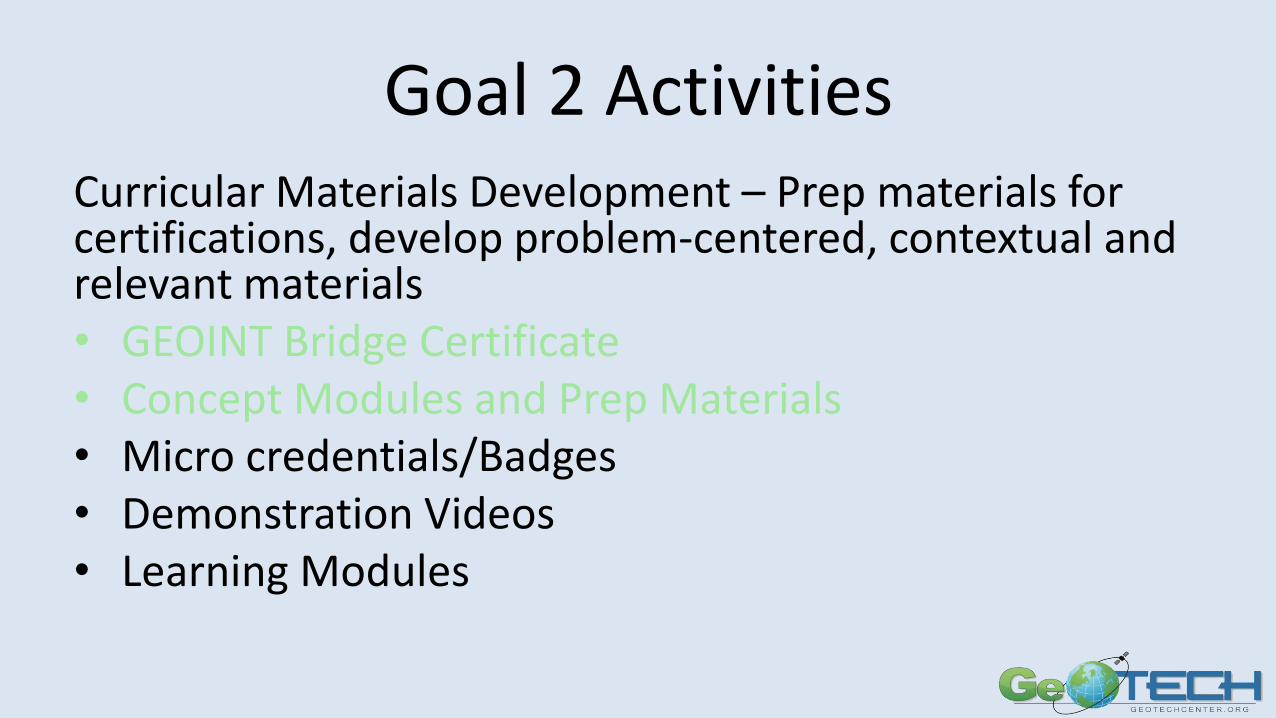
Goal 2 Activities
Curricular Materials Development – Prep materials for certifications, develop problem-centered, contextual and relevant materials
• GEOINT Bridge Certificate
• Concept Modules and Test Prep Materials
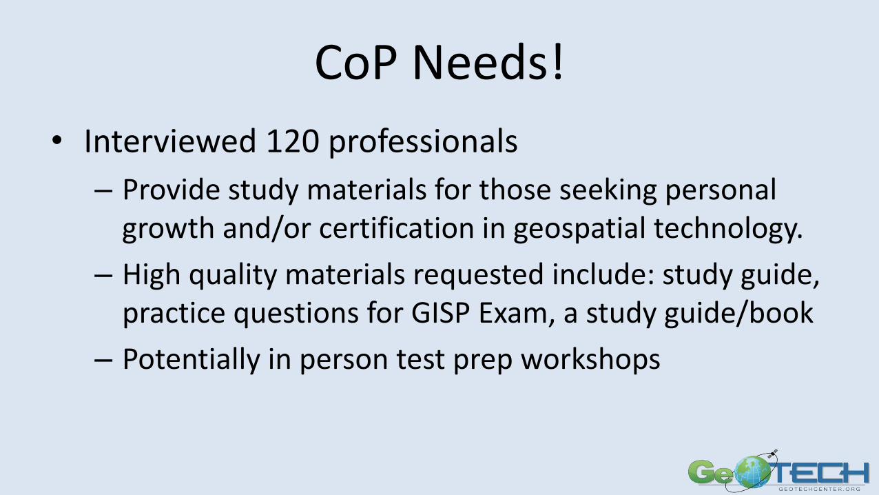
CoP Needs!
• Interviewed 120 professionals
– Provide study materials for those seeking personal growth and/or certification in geospatial technology.
– High quality materials requested include: study guide, practice questions for GISP Exam, a study guide/book
– Potentially in person test prep workshops
Goal 2 ActivitiesCurricular Materials Development – Prep materials for certifications, develop problem-centered, contextual and relevant materials• GEOINT Bridge Certificate• Concept Modules and Prep Materials• Micro credentials/Badges• Demonstration Videos• Learning Modules
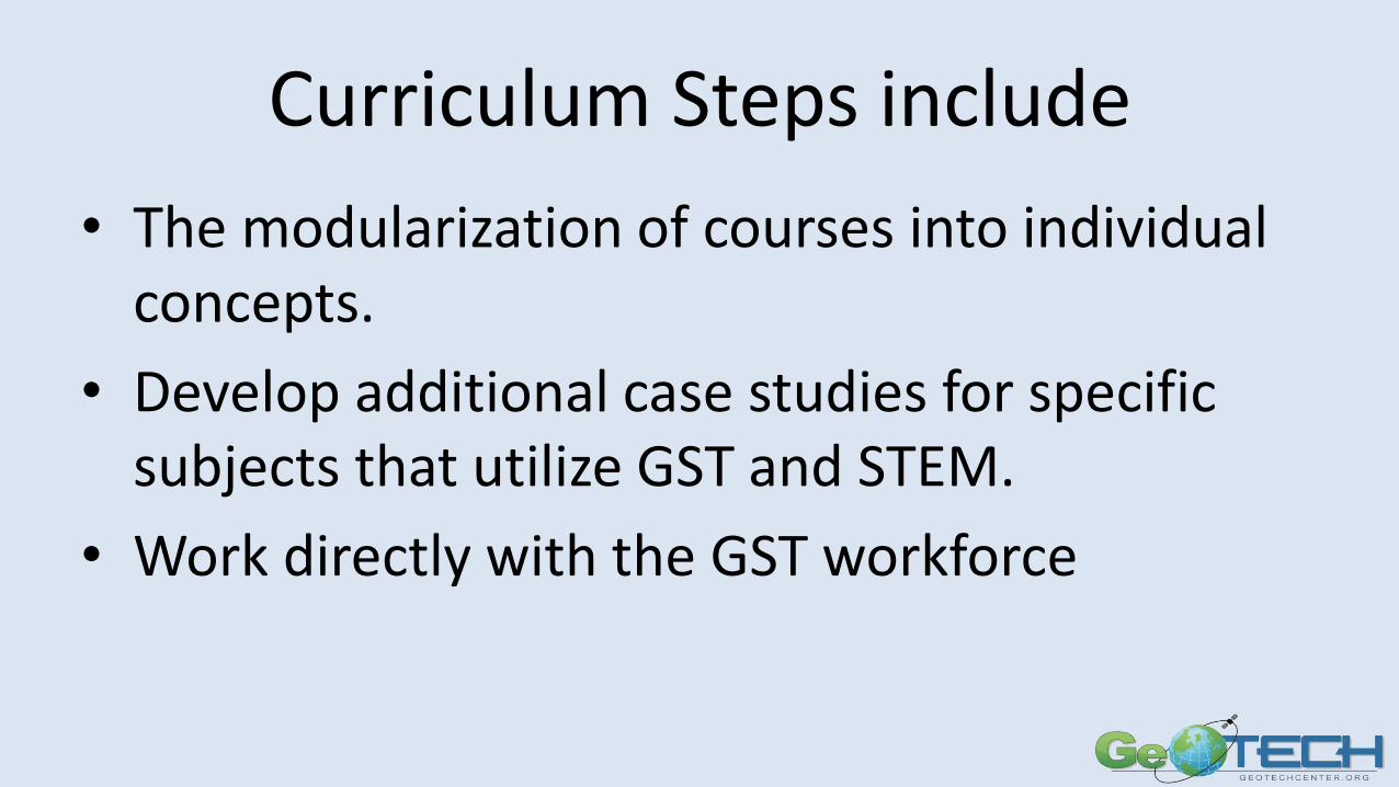
Curriculum Steps include
• The modularization of courses into individual concepts.
• Develop additional case studies for specific subjects that utilize GST and STEM.
• Work directly with the GST workforce
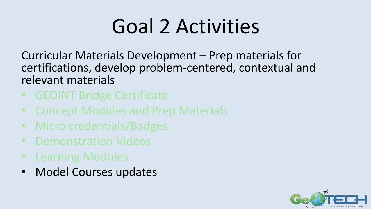
Goal 2 ActivitiesCurricular Materials Development – Prep materials for certifications, develop problem-centered, contextual and relevant materials• GEOINT Bridge Certificate• Concept Modules and Prep Materials• Micro credentials/Badges• Demonstration Videos• Learning Modules• Model Courses updates
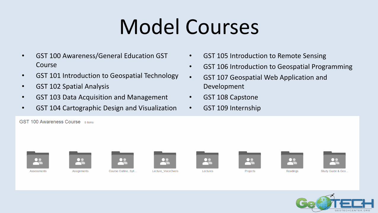
Model Courses• GST 100 Awareness/General Education GST
Course
• GST 101 Introduction to Geospatial Technology
• GST 102 Spatial Analysis
• GST 103 Data Acquisition and Management
• GST 104 Cartographic Design and Visualization
• GST 105 Introduction to Remote Sensing
• GST 106 Introduction to Geospatial Programming
• GST 107 Geospatial Web Application and Development
• GST 108 Capstone
• GST 109 Internship
Goal 2 ActivitiesCurricular Materials Development – Prep materials for certifications, develop problem-centered, contextual and relevant materials• GEOINT Bridge Certificate• Concept Modules and Prep Materials• Micro credentials/Badges• Demonstration Videos• Learning Modules• Model Courses updates• UAS Curriculum
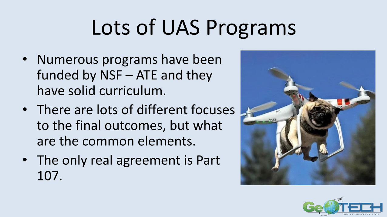
Lots of UAS Programs• Numerous programs have been
funded by NSF – ATE and they have solid curriculum.
• There are lots of different focuses to the final outcomes, but what are the common elements.
• The only real agreement is Part 107.
Goal 2 ActivitiesCurricular Materials Development – Prep materials for certifications, develop problem-centered, contextual and relevant materials• GEOINT Bridge Certificate• Concept Modules and Prep Materials• Micro credentials/Badges• Demonstration Videos• Learning Modules• Model Courses updates• UAS Curriculum• Career Pathways• MOOC (Massive Open Online Course)• Create business models using Business Canvas
GOAL 3 ACTIVITIES
Applied Research: Underserved and Underrepresented Populations – best practices to increase and retain populations including veterans, women, minorities and persons with disabilities
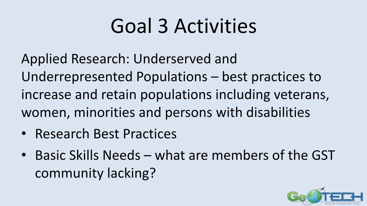
Goal 3 Activities
Applied Research: Underserved and Underrepresented Populations – best practices to increase and retain populations including veterans, women, minorities and persons with disabilities
• Research Best Practices
• Basic Skills Needs – what are members of the GST community lacking?
Weaknesses (no particular order)
• Knowledge of digital file management
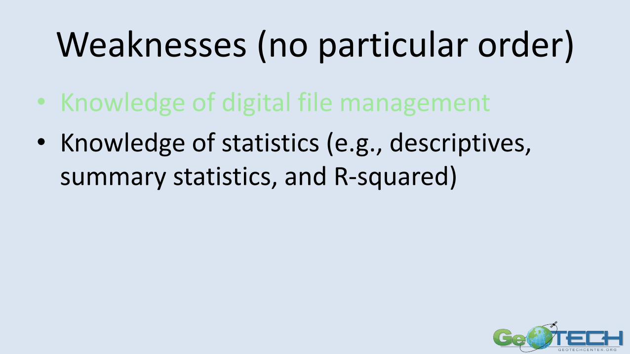
Weaknesses (no particular order)
• Knowledge of digital file management
• Knowledge of statistics (e.g., descriptives, summary statistics, and R-squared)
Weaknesses (no particular order)
• Knowledge of digital file management
• Knowledge of statistics (e.g., descriptives, summary statistics, and R-squared)
• Knowledge of basic programming (e g., scripting, object oriented, query, and extensible)

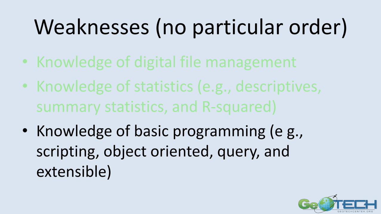
Weaknesses (no particular order)
• Knowledge of digital file management
• Knowledge of statistics (e.g., descriptives, summary statistics, and R-squared)
• Knowledge of basic programming (e g., scripting, object oriented, query, and extensible)
• Knowledge of metadata and its standards (e.g., ISO and FGDC)
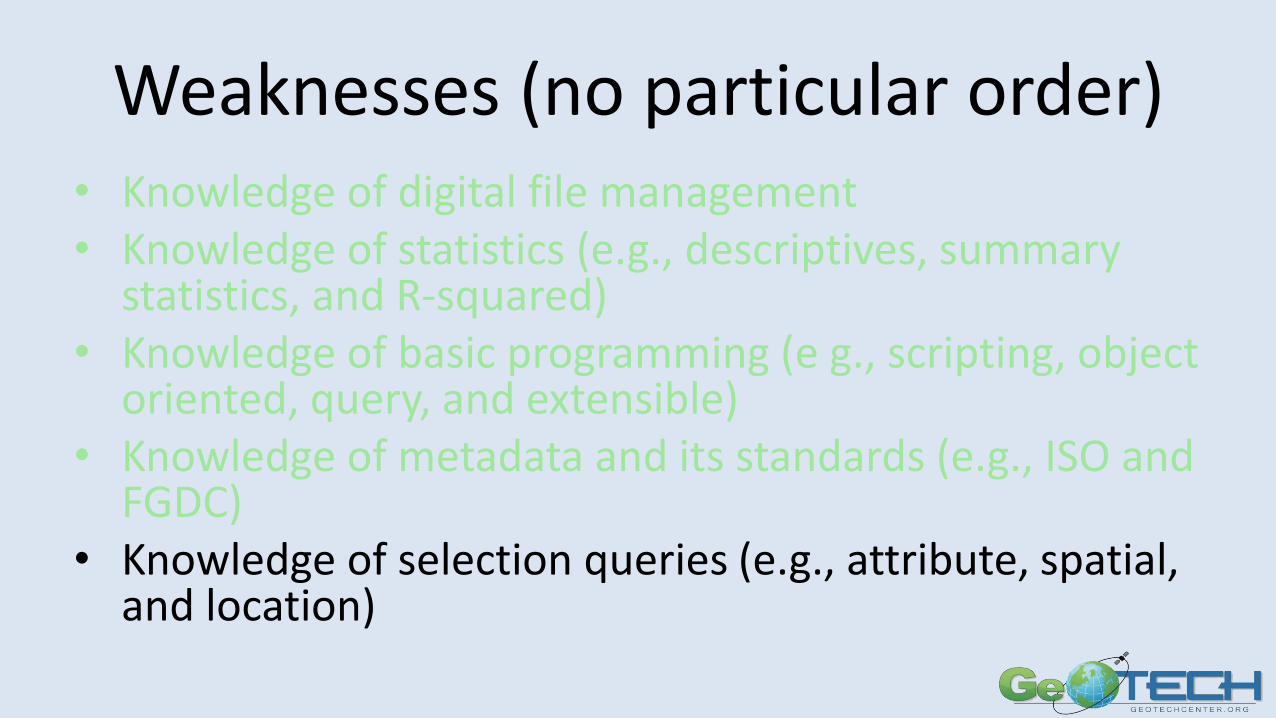
Weaknesses (no particular order)• Knowledge of digital file management• Knowledge of statistics (e.g., descriptives, summary
statistics, and R-squared) • Knowledge of basic programming (e g., scripting, object
oriented, query, and extensible)• Knowledge of metadata and its standards (e.g., ISO and
FGDC) • Knowledge of selection queries (e.g., attribute, spatial,
and location)
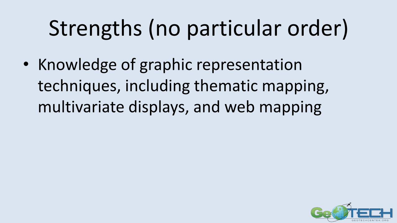
Strengths (no particular order)
• Knowledge of graphic representation techniques, including thematic mapping, multivariate displays, and web mapping
Strengths (no particular order)
• Knowledge of graphic representation techniques, including thematic mapping, multivariate displays, and web mapping
• Knowledge of principles of map design, including symbolization, color use, and topography, for a variety of print and digital formats
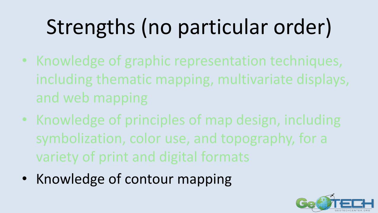
Strengths (no particular order)
• Knowledge of graphic representation techniques, including thematic mapping, multivariate displays, and web mapping
• Knowledge of principles of map design, including symbolization, color use, and topography, for a variety of print and digital formats
• Knowledge of contour mapping
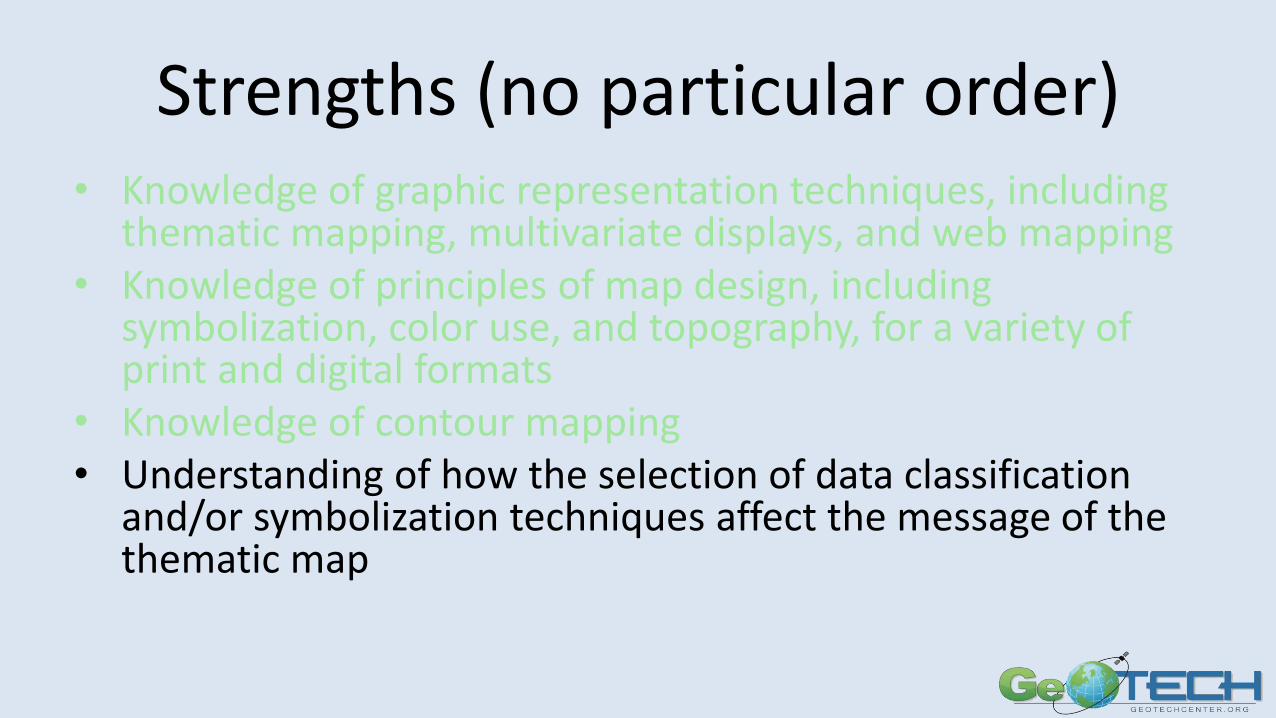
Strengths (no particular order)• Knowledge of graphic representation techniques, including
thematic mapping, multivariate displays, and web mapping • Knowledge of principles of map design, including
symbolization, color use, and topography, for a variety of print and digital formats
• Knowledge of contour mapping• Understanding of how the selection of data classification
and/or symbolization techniques affect the message of the thematic map
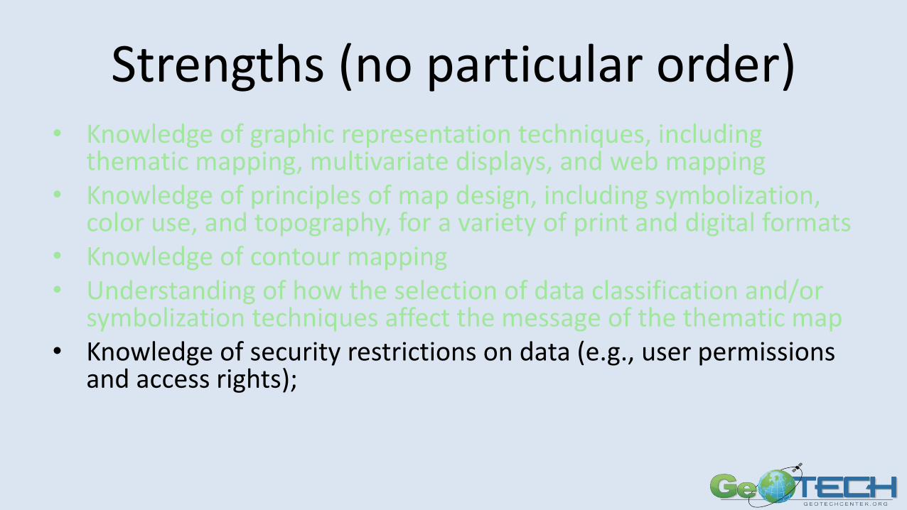
Strengths (no particular order)• Knowledge of graphic representation techniques, including
thematic mapping, multivariate displays, and web mapping • Knowledge of principles of map design, including symbolization,
color use, and topography, for a variety of print and digital formats• Knowledge of contour mapping• Understanding of how the selection of data classification and/or
symbolization techniques affect the message of the thematic map • Knowledge of security restrictions on data (e.g., user permissions
and access rights);
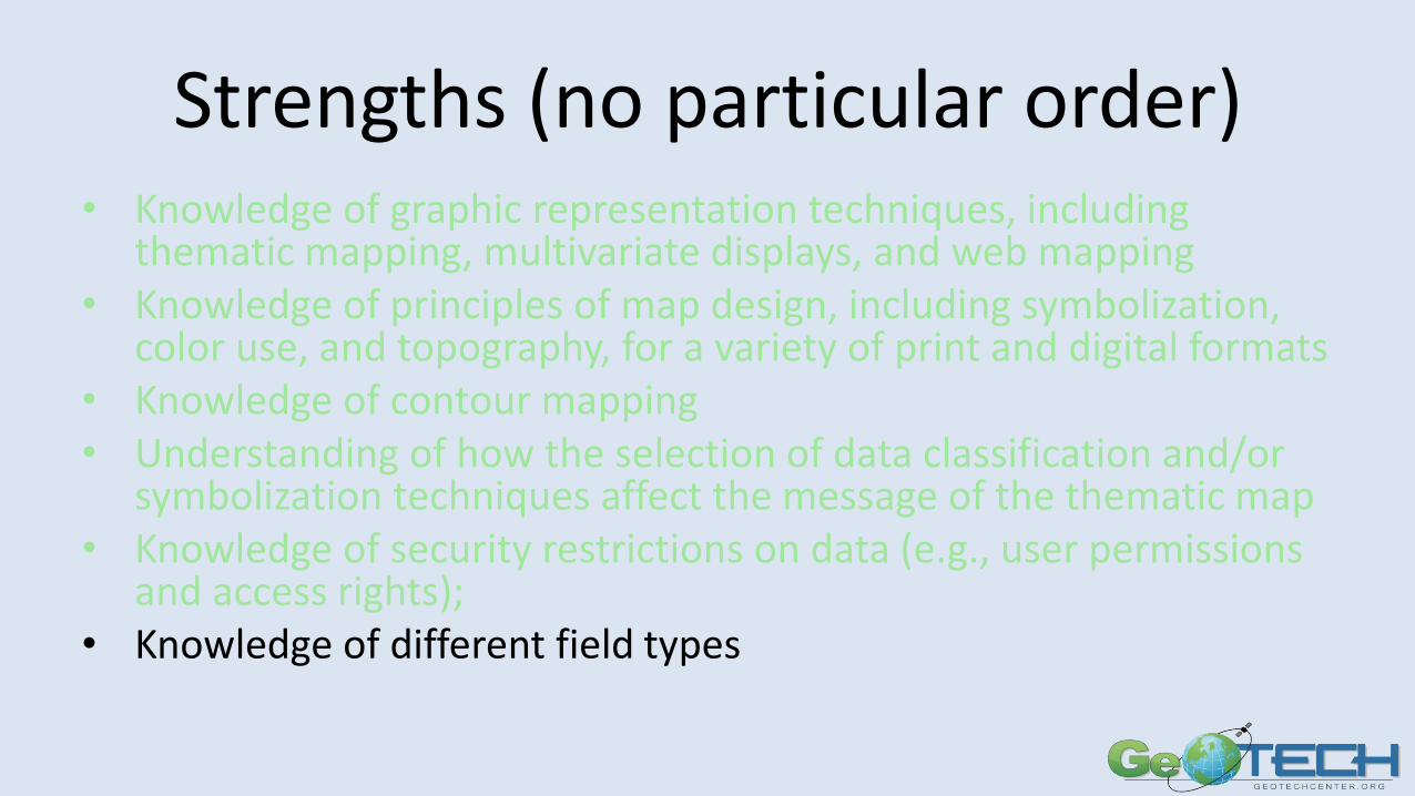
Strengths (no particular order)• Knowledge of graphic representation techniques, including
thematic mapping, multivariate displays, and web mapping • Knowledge of principles of map design, including symbolization,
color use, and topography, for a variety of print and digital formats• Knowledge of contour mapping• Understanding of how the selection of data classification and/or
symbolization techniques affect the message of the thematic map • Knowledge of security restrictions on data (e.g., user permissions
and access rights); • Knowledge of different field types
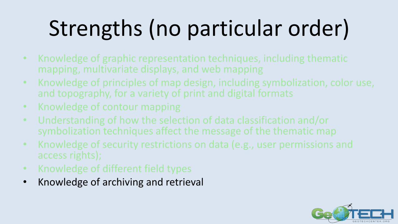
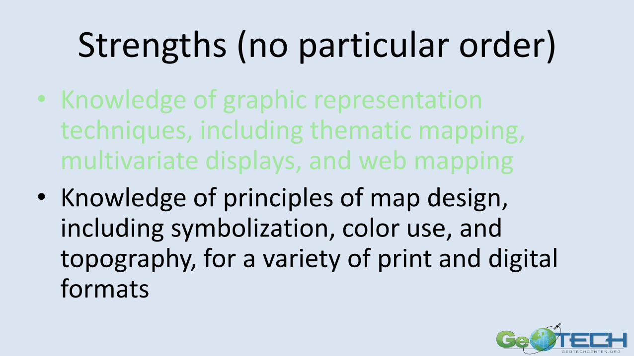
Strengths (no particular order)• Knowledge of graphic representation techniques, including thematic
mapping, multivariate displays, and web mapping • Knowledge of principles of map design, including symbolization, color use,
and topography, for a variety of print and digital formats• Knowledge of contour mapping• Understanding of how the selection of data classification and/or
symbolization techniques affect the message of the thematic map • Knowledge of security restrictions on data (e.g., user permissions and
access rights); • Knowledge of different field types• Knowledge of archiving and retrieval
Goal 3 ActivitiesApplied Research: Underserved and Underrepresented Populations –best practices to increase and retain populations including veterans, women, minorities and persons with disabilities• Research Best Practices• Basic Skills Needs – what are members of the GST community
lacking?• Dissemination• Veterans and other underrepresented populations• Mentoring, minority serving institutions
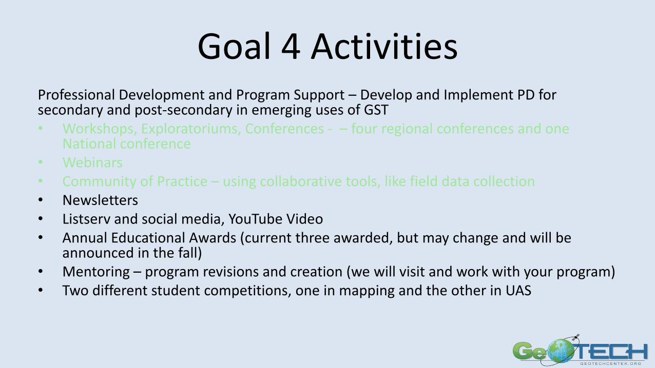
GOAL 4 ACTIVITIES
Professional Development and Program Support – Develop and Implement PD for secondary and post-secondary in emerging uses of GST
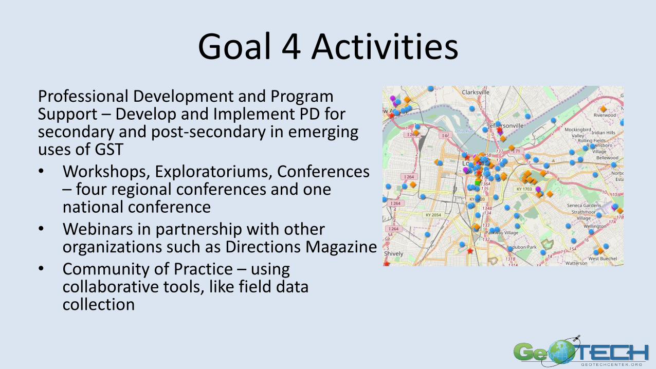
Goal 4 ActivitiesProfessional Development and Program Support – Develop and Implement PD for secondary and post-secondary in emerging uses of GST• Workshops, Exploratoriums, Conferences
– four regional conferences and one national conference
• Webinars in partnership with other organizations such as Directions Magazine
• Community of Practice – using collaborative tools, like field data collection
Syllabus Repository
• Contains syllabi at all levels
– Introductory
– Specialized courses
– Graduate courses
• Presented as given without any modifications
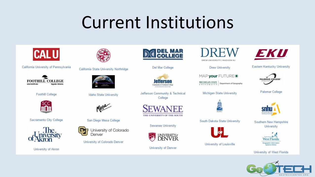
Current Institutions
Goal 4 ActivitiesProfessional Development and Program Support – Develop and Implement PD for secondary and post-secondary in emerging uses of GST• Workshops, Exploratoriums, Conferences - – four regional conferences and one
National conference• Webinars• Community of Practice – using collaborative tools, like field data collection• Newsletters• Listserv and social media, YouTube Video• Annual Educational Awards (current three awarded, but may change and will be
announced in the fall)• Mentoring – program revisions and creation (we will visit and work with your program)• Two different student competitions, one in mapping and the other in UAS
Questions and Answers
http://www.geotechcenter.org/geotech-centers-presentations.html
http://geotechcenter.org