historical land use gis digitization project land use gis digitization project - acquisition of blm...
TRANSCRIPT
Historical Land Use GIS Digitization Project
Organization/Agency: Jeffrey Jenkins, PhD Candidate, UCSC ENVS Supervisor/Sponsor: Jeffrey Bury Supervisor/Sponsor title: Jeffrey Bury Address: 131 Bethany Curve Santa Cruz CA 95060 Email: [email protected] phone: (831) 854 - 7296 Fax: Website: # of interns needed/Hours Needed for quarters: Options (choose one) worked per intern: XFall X Winter Remove your listing by 1-2 @ 6hrs per week Spring Summer X Or keep on file for one year Describe the internship assignment:
Internship supervisor: Jeffrey Jenkins Contact: [email protected]
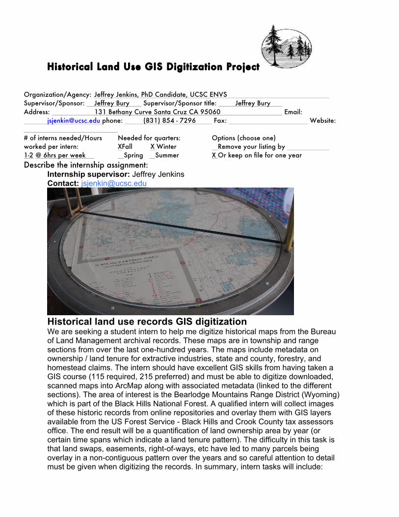
Historical land use records GIS digitization We are seeking a student intern to help me digitize historical maps from the Bureau of Land Management archival records. These maps are in township and range sections from over the last one-hundred years. The maps include metadata on ownership / land tenure for extractive industries, state and county, forestry, and homestead claims. The intern should have excellent GIS skills from having taken a GIS course (115 required, 215 preferred) and must be able to digitize downloaded, scanned maps into ArcMap along with associated metadata (linked to the different sections). The area of interest is the Bearlodge Mountains Range District (Wyoming) which is part of the Black Hills National Forest. A qualified intern will collect images of these historic records from online repositories and overlay them with GIS layers available from the US Forest Service - Black Hills and Crook County tax assessors office. The end result will be a quantification of land ownership area by year (or certain time spans which indicate a land tenure pattern). The difficulty in this task is that land swaps, easements, right-of-ways, etc have led to many parcels being overlay in a non-contiguous pattern over the years and so careful attention to detail must be given when digitizing the records. In summary, intern tasks will include:

Historical Land Use GIS Digitization Project
- Acquisition of BLM images/records, along with county and USFS GIS data - Workflow plan - After looking at the records and recognizing particular templates and data patterns, briefly outlining the steps / tools that will be used to ensure the proper GIS workflow and digitization consistency. - Digitizing BLM records across all of the Bearlodge Ranger District (making sure the proper metadata are recorded and that the sections line up with correct coordinate system / projection) - quantifying the property ownership with breakdown of type of land use (homestead lands, mineral lands, forest lands, etc) - keeping a log of the workflow so that steps can be repeated if necessary and saving the data in a format for future GIS analysis More details available upon request. This internship can be extended to Winter quarter if necessary. -- all that is solid melts into air... Jeffrey Jenkins, PhD Candidate Department of Environmental Studies University of California, Santa Cruz