humanitarian openstreetmap team beginnings and response today
TRANSCRIPT
Humanitarian OpenStreetMap Team
Beginnings and Response Today
Kate Chapman/@wonderchookHumanitarian OpenStreetMap Team
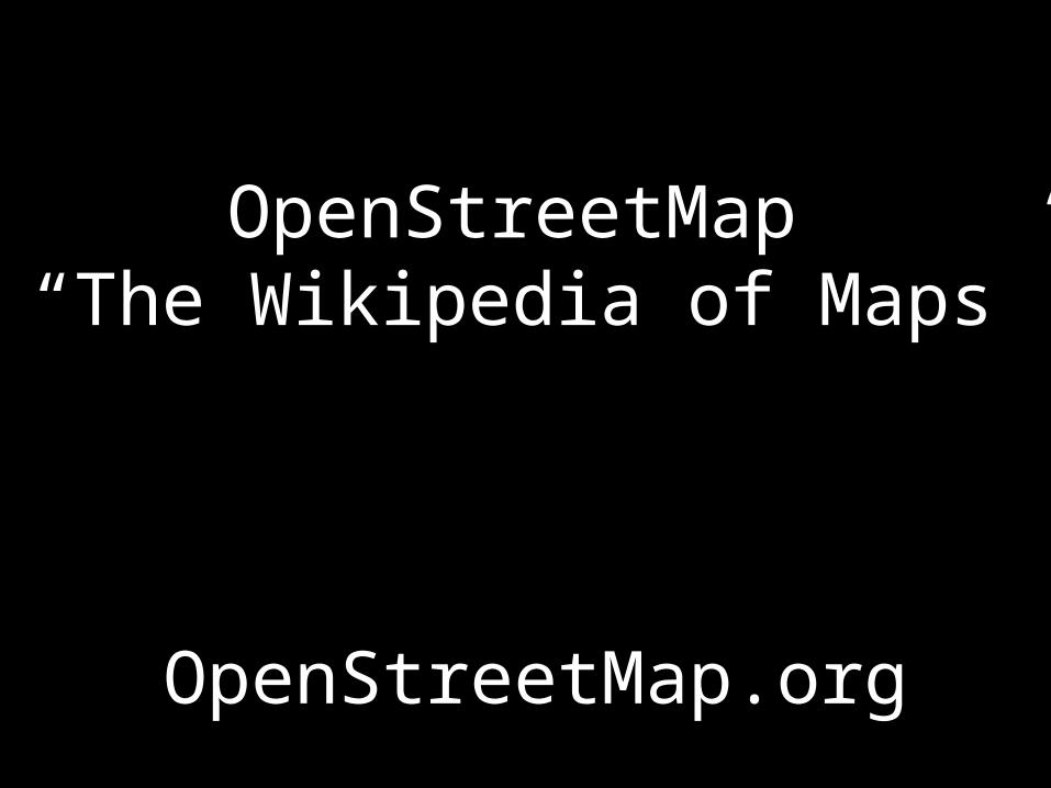
OpenStreetMap “The Wikipedia of Maps”
OpenStreetMap.org
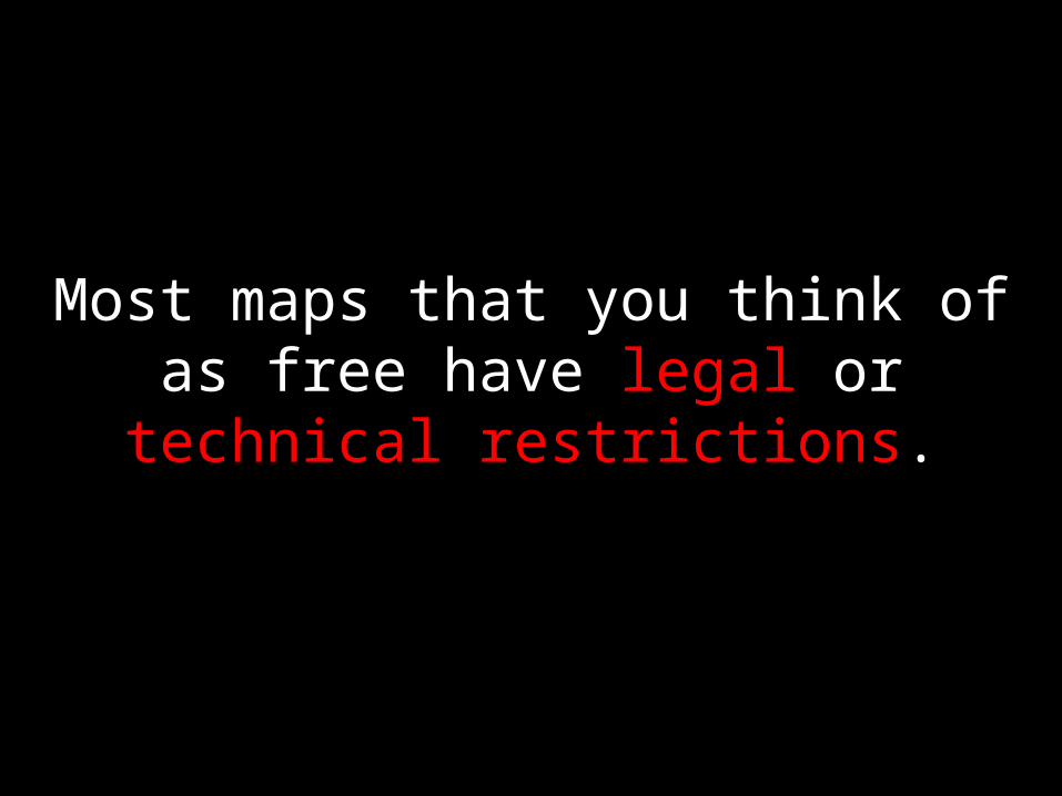
Most maps that you think of as free have legal or technical restrictions.
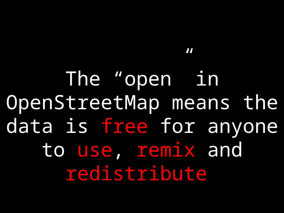
The “open” in OpenStreetMap means the data is free for anyone
to use, remix and redistribute
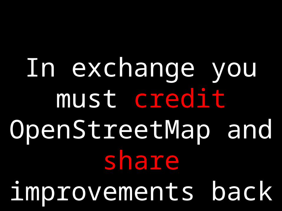
In exchange you must credit OpenStreetMap
and share improvements back for everyone

We use the principles of open source and open geographic data for humanitarian response and economic development
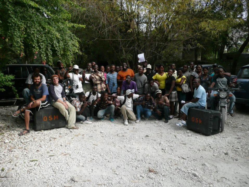
Humanitarian OpenStreetMap Team
http://brainoff.com/weblog/2005/12/22/16
The HOT idea was first presented in 2005 at a Global Disaster Alert & Coordination
System (GDACS) meeting.
First Activation in 2009 for Gaza

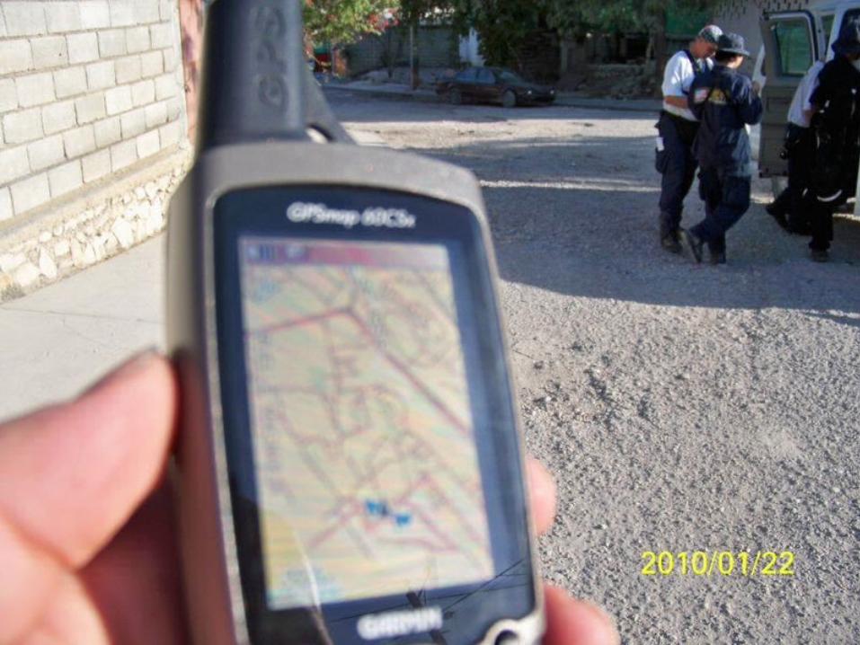
OpenStreetMap and Contributors CC-BY-SA
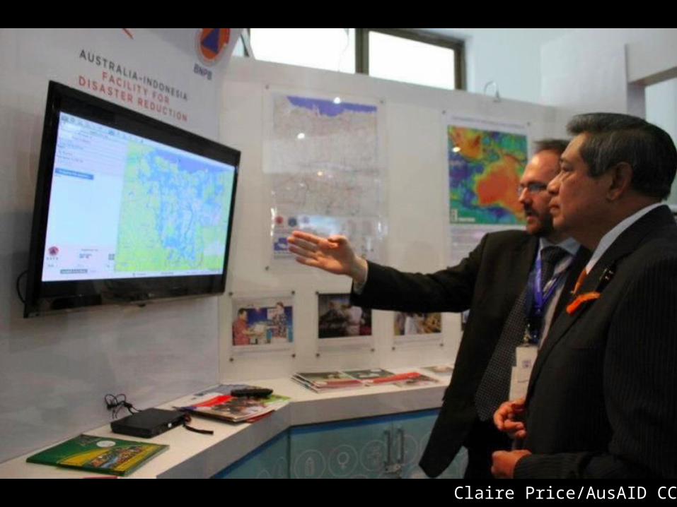
Claire Price/AusAID CC-By

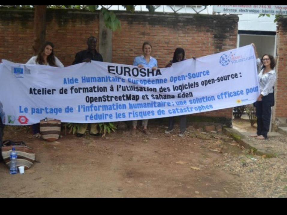
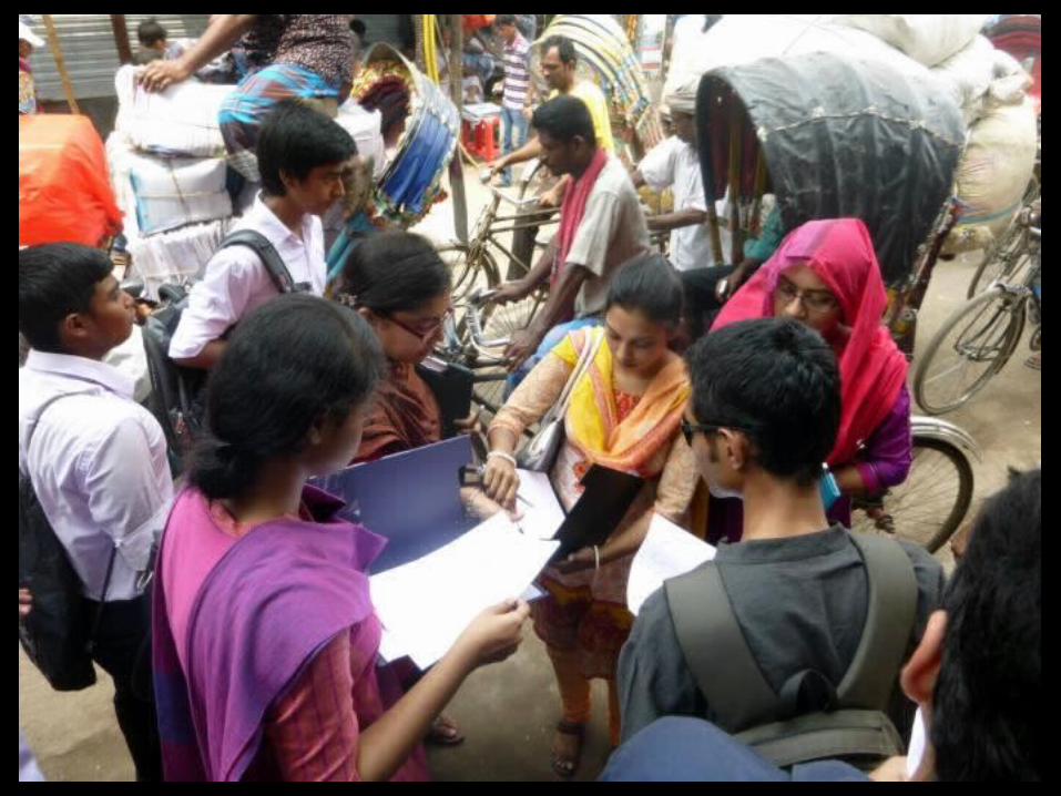

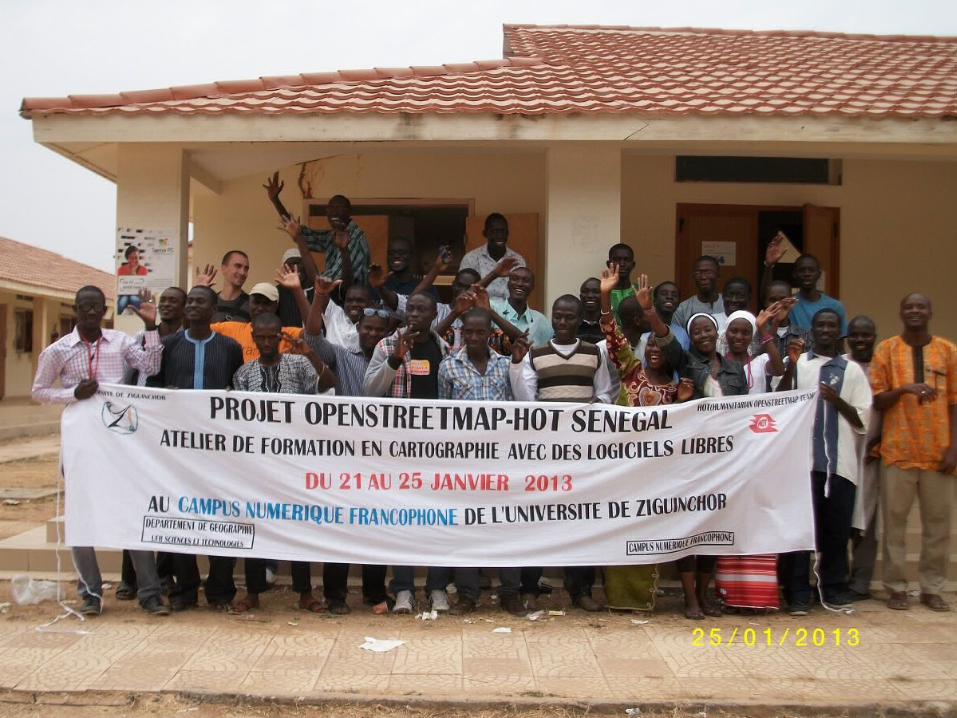
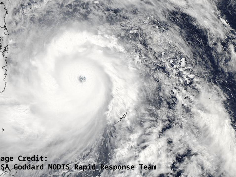
Image Credit: NASA Goddard MODIS Rapid Response Team

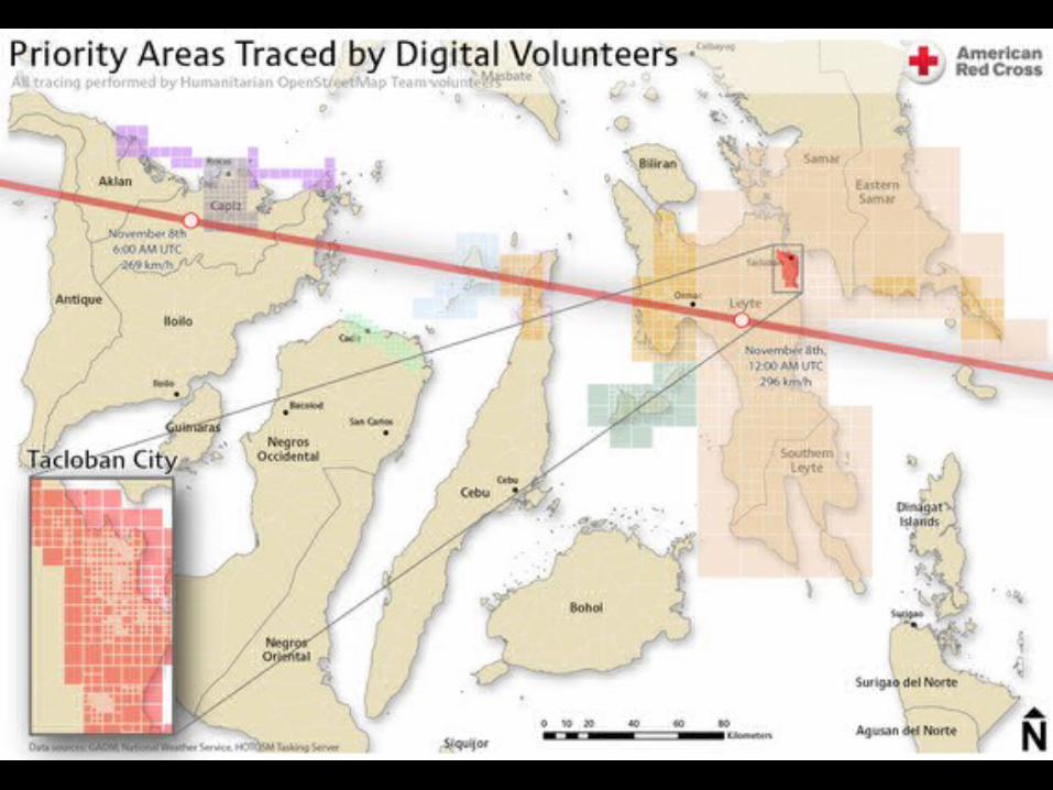
November 7th
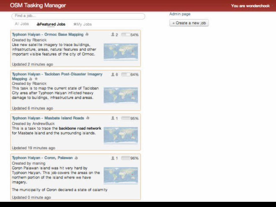
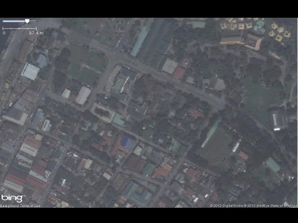
• OpenStreetMap mappers started to map Tacloban city. • After 24 hours, 10,000 buildings (about
25% of the buildings in this city) were tagged• The work of 33 OSM mappers

Tacloban, Philippines

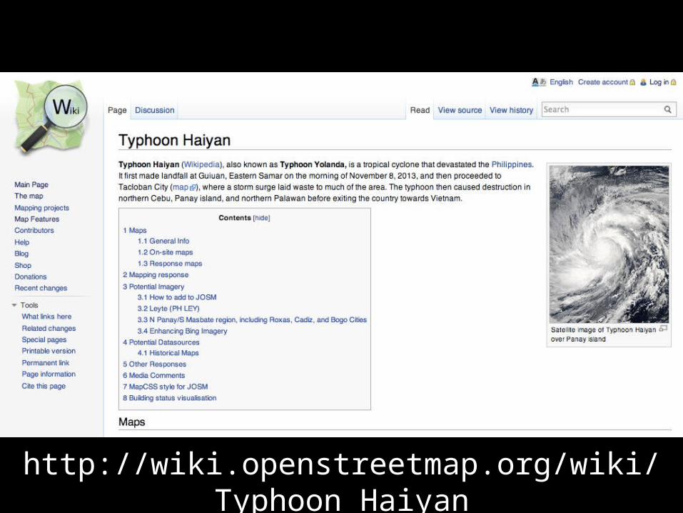
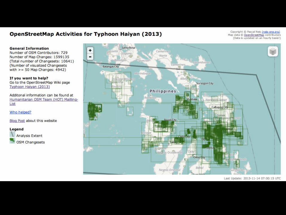
http://wiki.openstreetmap.org/wiki/Typhoon_Haiyan
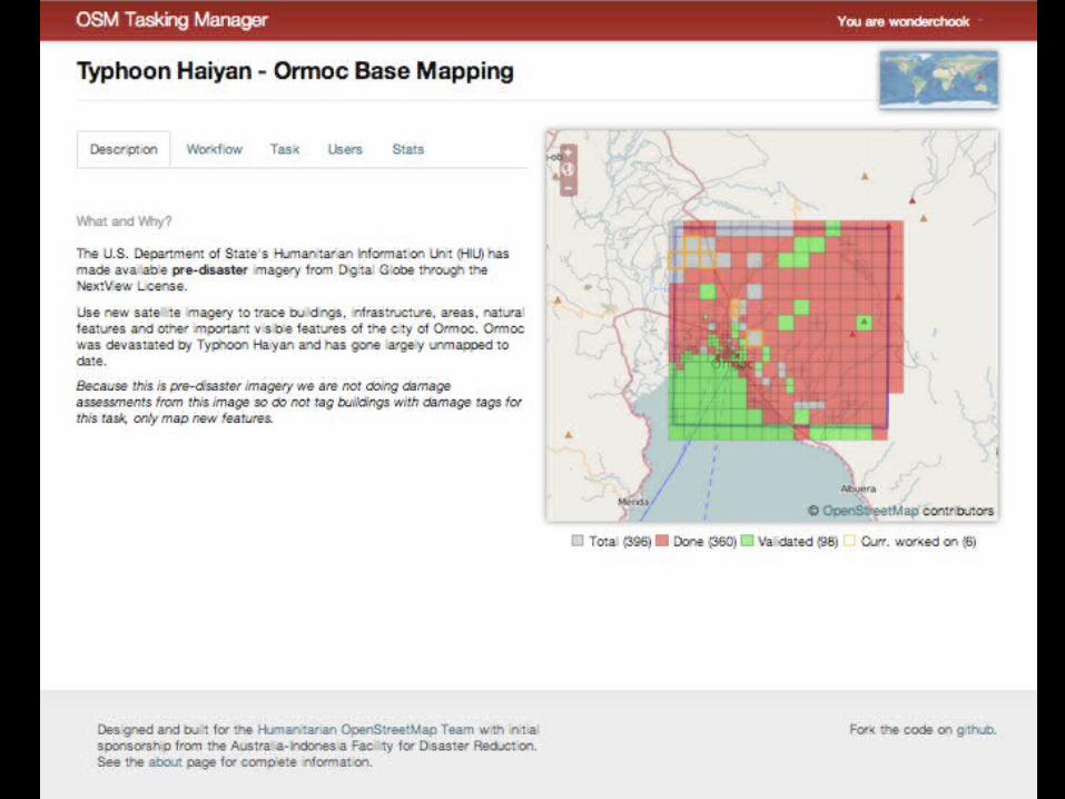
What did we need to help further?
Post Event Satellite Imagery
On November 13th, 5 days after the storm HOT received satellite imagery from the
US State Department Humanitarian Information Unit
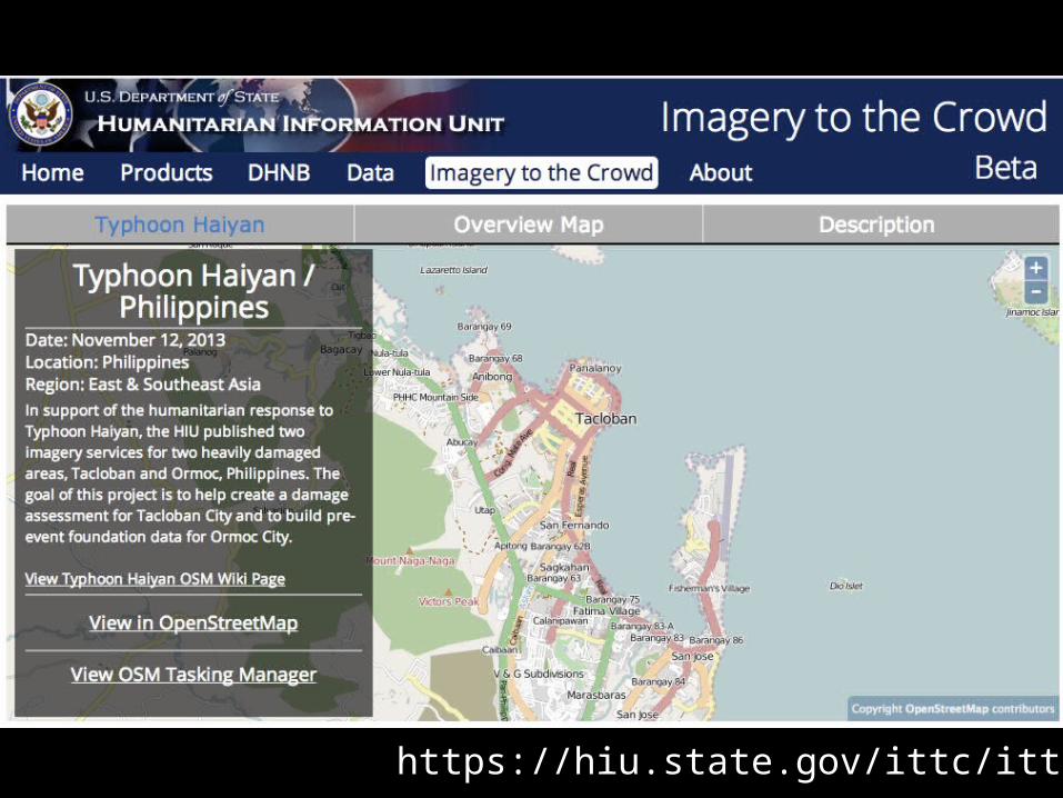
https://hiu.state.gov/ittc/ittc.aspx

Imagery from DigitalGlobe
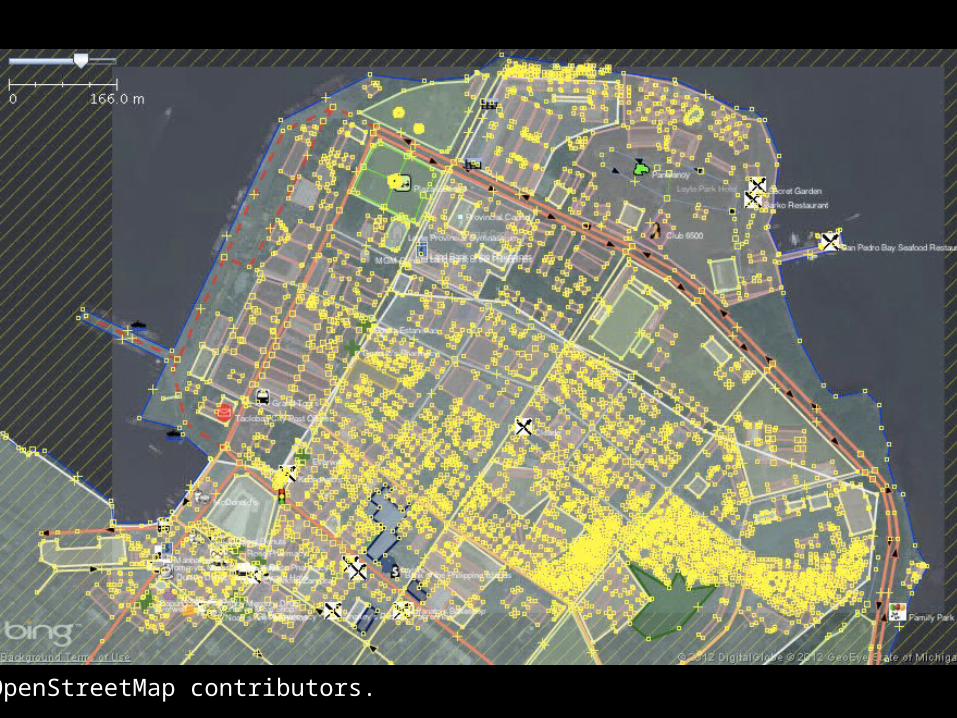
© OpenStreetMap contributors.

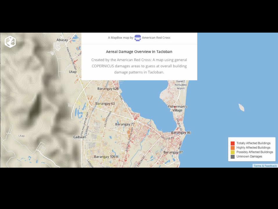
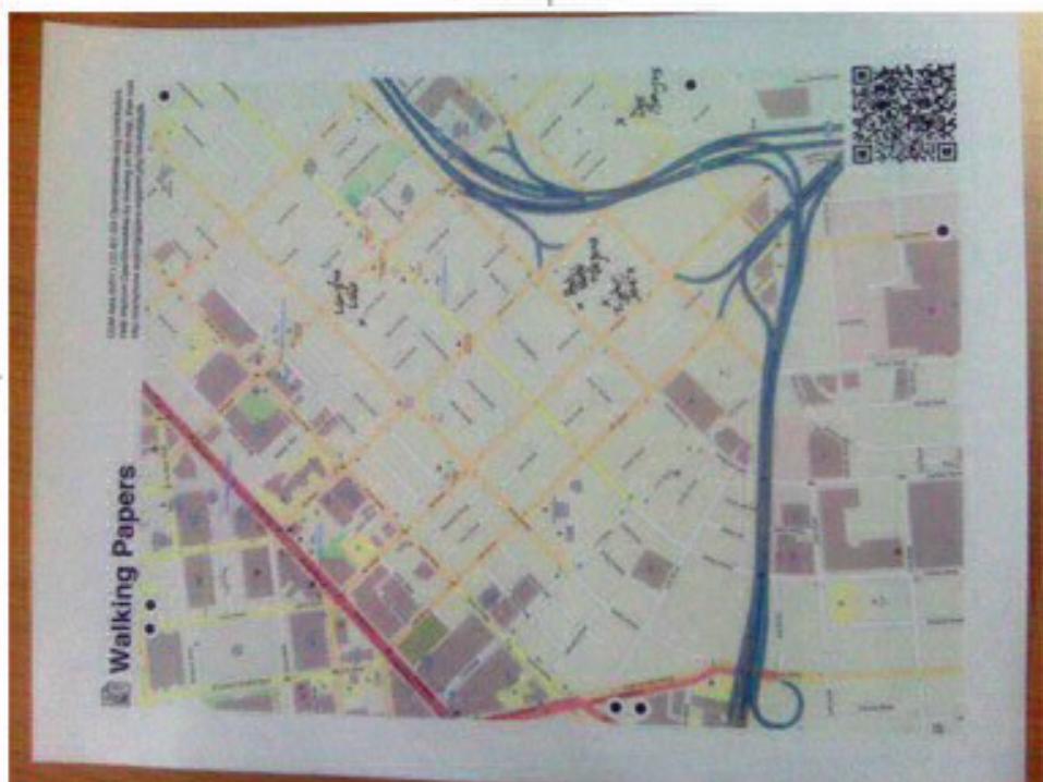
What can people do with the data?
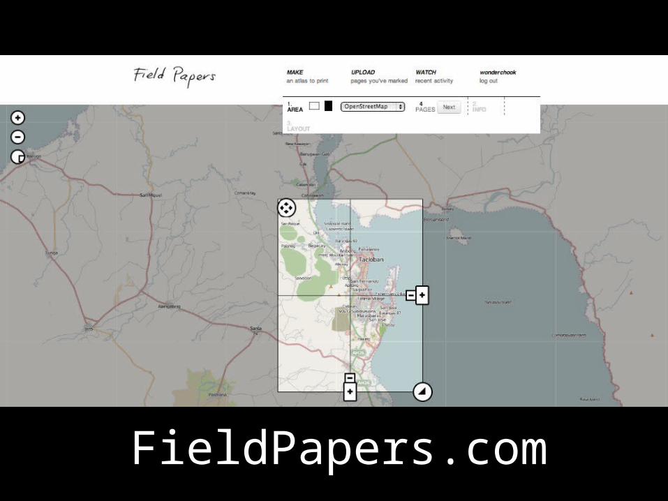
FieldPapers.com


http://labs.geofabrik.de/haiyan/
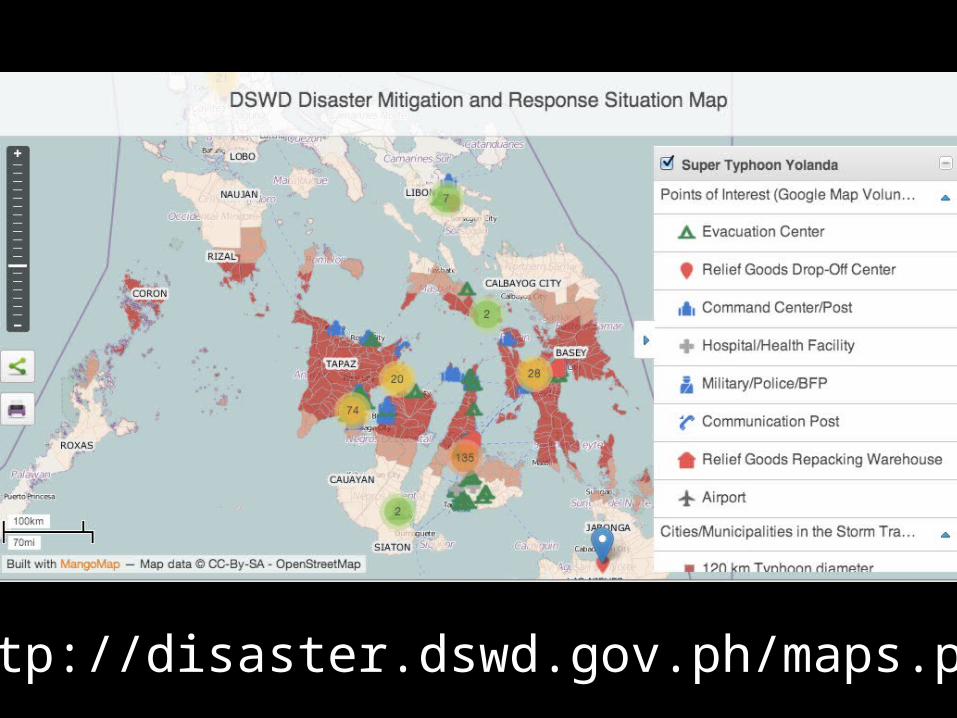
http://disaster.dswd.gov.ph/maps.php
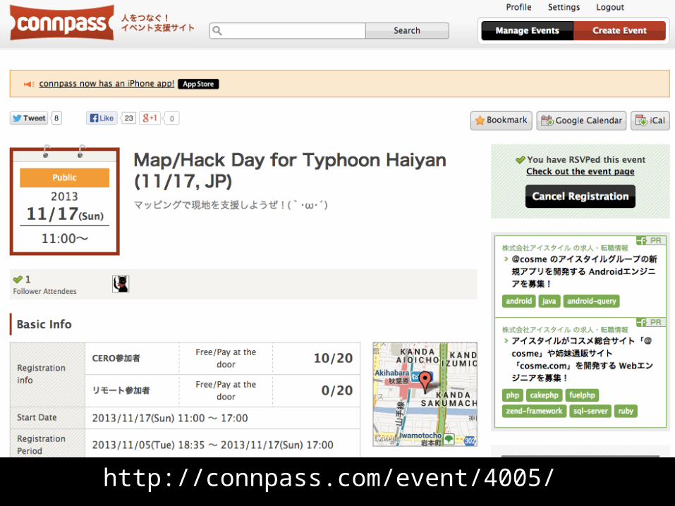
http://connpass.com/event/4005/