introduction on coastal zone management for the maltese islands · 2019-07-25 · the maltese...
TRANSCRIPT

Introduction on coastal zone management for the Maltese Islands
Anna Spiteri, Integrated Resources Management (IRMCo)
Copernicus Training and Information Session, Malta27 June 2017
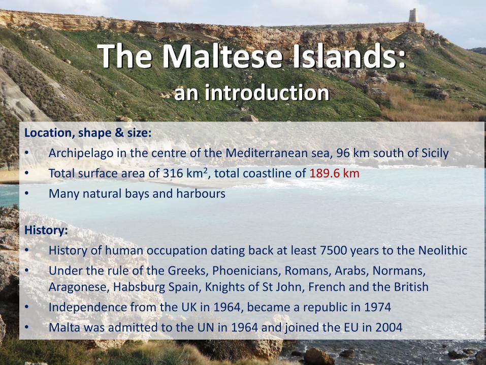
The Maltese Islands: an introduction
Location, shape & size:
• Archipelago in the centre of the Mediterranean sea, 96 km south of Sicily
• Total surface area of 316 km2, total coastline of 189.6 km
• Many natural bays and harbours
History:
• History of human occupation dating back at least 7500 years to the Neolithic
• Under the rule of the Greeks, Phoenicians, Romans, Arabs, Normans, Aragonese, Habsburg Spain, Knights of St John, French and the British
• Independence from the UK in 1964, became a republic in 1974
• Malta was admitted to the UN in 1964 and joined the EU in 2004

The Maltese Islands: continuedDemographic & socio-economic profile:
• Total population of the Maltese Islands: 421,504 inhabitants
• Population density: 1,334 inhabitants per km2 (= highest in EU)
• Economic sectors by GDP: agriculture 1.4%; industry 15.5%; services 83.1%
• Coastal activities:13% of GDP and 15% of total employment
Geology & landscape:
• The Mediterranean Sea was formed around 65 million years ago as the African and European plates converged
• Located on a shallow shelf, the Malta Plateau
• Relatively low relief compared to other Mediterranean islands
• Composed of marine sedimentary rock: Lower Coralline limestone, Globigerina limestone, Blue Clay, Greensand, Upper Coralline limestone
• Typical coastal habitats: dry woodland, garrigue, maquis, rdum

Landsat miniscene
Some examples of IRMCo’s use of EO data to
A) assess the spatial distribution of the vulnerability of the Islands’water resources
&
B) introduce a coastal zone management approach that integrates PPGIS Practice with the socio-economic, cultural and the institutional dimensions

Method devised by IRMCo in collaboration with theRemote Sensing Centre in Lebanon and UKAM Turkey
A) The spatial distribution of the vulnerability of the Islands’ water resources
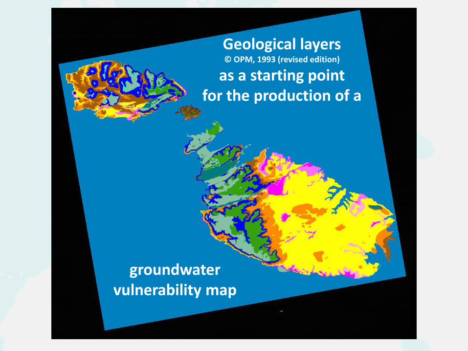
Geological layers© OPM, 1993 (revised edition)
as a starting point for the production of a
groundwater vulnerability map

Extend the Faults distribution &
Identify specific karst features
Using satellite imagery &areal photographs to:
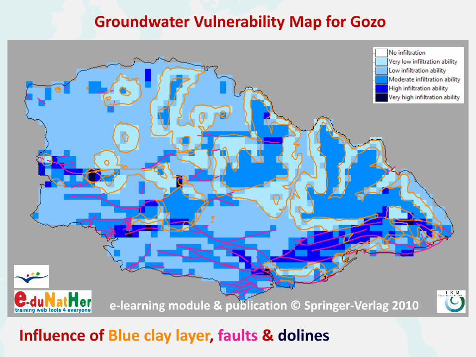
Influence of Blue clay layer, faults & dolines
Groundwater Vulnerability Map for Gozo
e-learning module & publication © Springer-Verlag 2010

PPGIS practice sessions empowered the local communities in Malta’s Grand Harbour
B) a coastal zone management approach that integrates PPGIS with the socio-economic, cultural and institutional
dimensions
Visualizing the area from above

Safeguarding the Open Spaces in Malta’s Grand Harbourthrough Public Participatory GIS

… and around Malta
Identifying the source of heavy metal pollution
in El Melehlagoon, Tunisia
Landuse map Corine Level 2

… and around Malta
Crop inventories for irrigation management
(based on ~ weekly NDVI values)
using Rapid Eye imagery from the
Copernicus datawarehouse
Irrigated area by Sefsafa and Daqalt
Canals in the Nile Delta, Egypt

… and around Malta,using PPGIS
Farmers in Brazil pinpoint optimal
location for a new water reservoir to
water authority
Farmers in Egypt draw a new vision to achieve
a more equitable sharing of water
using satellite imagery
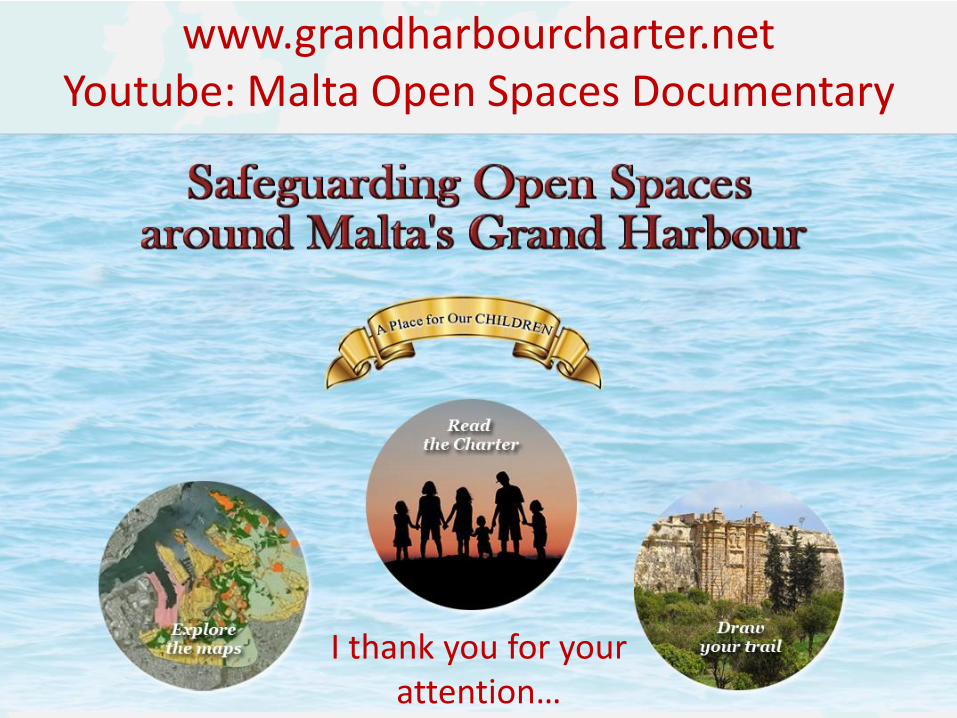
I thank you for your attention…
www.grandharbourcharter.netYoutube: Malta Open Spaces Documentary