itrc geostatistics for remediation optimizationthe geostatistics for remediation optimization...
TRANSCRIPT
WHAT IS ITRC? The Interstate Technology Regulatory Council (ITRC) is a
state-led, public-private coalition dedicated to reducing
barriers to the use of innovative environmental
technologies. ITRC represents over 700 individuals, across
50 states, working to produce guidance and training on
innovative environmental solutions. Bringing together
teams of state and federal regulators along with private,
academic, and stakeholder experts, ITRC broadens and
deepens technical knowledge and reduces barriers to
expedient regulatory approval. Since 1995,
the collective success of this
coalition has generated huge
benefits to the
environment, inspired new
technical innovations, and
saved hundreds of millions of
dollars.
ITRC is a program of the Environmental
Research Institute of the States, managed by the
Environmental Council of the States. This partnership is
based on a commitment to protect and improve human
health and the environment across the United States of
America.
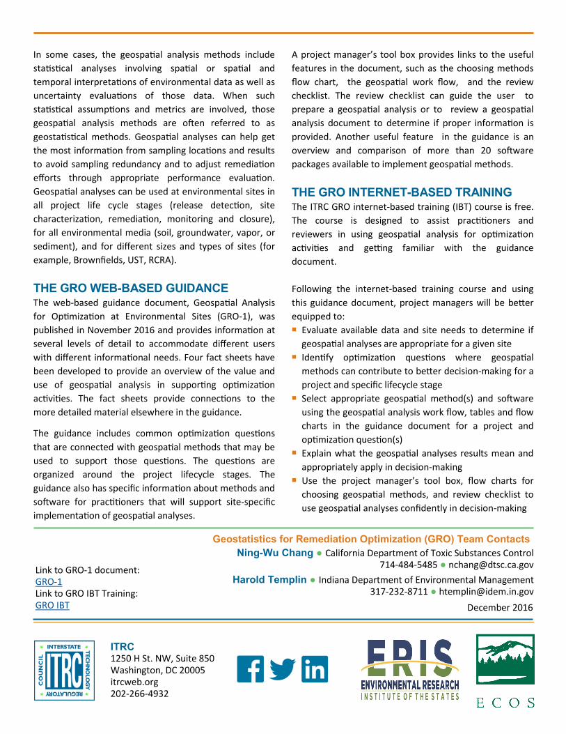
ABOUT GEOSPATIAL ANALYSES Geospatial analysis can be used to support optimization at
any stage of the project life cycle and provide additional
confidence in understanding the data set. Geospatial
analyses can support enhanced data evaluation and
interpretation during site characterization and remediation.
For example, more accurate estimates of average
concentrations, volumes and masses of contaminated
materials can improve cost estimation for remediation
alternatives. Geospatial analyses can also support
enhanced communication and decision-making using the
graphical presentations and geospatial visualizations
generated from the geospatial analysis methods.
In September 2012, the US EPA issued a National Strategy
to Expand Superfund Optimization Practices from Site
Assessment to Site Completion, bringing attention to the
need to formalize optimization practices, and apply
optimization concepts throughout all phases of a
remediation project. Multiple federal
agencies, including Department of
Energy (DOE), U.S. Army Corps
of Engineers (USACE), and
U.S. Air Force Civil Engineer
Center (AFCEC), agree on
the importance of these
approaches and have developed
optimization strategies. Geospatial
analyses can provide additional lines of evidence to
support optimization activities.
THE GEOSTATISTICS FOR REMEDIATION
OPTIMIZATION PROJECT The Geostatistics for Remediation Optimization (GRO)
team was established to develop guidance to help
practitioners better apply geospatial analyses in
environmental projects. This guidance will help state
regulators and other practitioners to understand,
evaluate, and make informed decisions about
optimization activities at environmental sites using
geospatial analyses. Geospatial analyses are tools that
can provide enhanced evaluation, interpretation, and
communication on data that are related in time or space.
ITRC Geostatistics for Remediation Optimization
In some cases, the geospatial analysis methods include
statistical analyses involving spatial or spatial and
temporal interpretations of environmental data as well as
uncertainty evaluations of those data. When such
statistical assumptions and metrics are involved, those
geospatial analysis methods are often referred to as
geostatistical methods. Geospatial analyses can help get
the most information from sampling locations and results
to avoid sampling redundancy and to adjust remediation
efforts through appropriate performance evaluation.
Geospatial analyses can be used at environmental sites in
all project life cycle stages (release detection, site
characterization, remediation, monitoring and closure),
for all environmental media (soil, groundwater, vapor, or
sediment), and for different sizes and types of sites (for
example, Brownfields, UST, RCRA).
THE GRO WEB-BASED GUIDANCE The web-based guidance document, Geospatial Analysis
for Optimization at Environmental Sites (GRO-1), was
published in November 2016 and provides information at
several levels of detail to accommodate different users
with different informational needs. Four fact sheets have
been developed to provide an overview of the value and
use of geospatial analysis in supporting optimization
activities. The fact sheets provide connections to the
more detailed material elsewhere in the guidance.
The guidance includes common optimization questions
that are connected with geospatial methods that may be
used to support those questions. The questions are
organized around the project lifecycle stages. The
guidance also has specific information about methods and
software for practitioners that will support site-specific
implementation of geospatial analyses.
A project manager’s tool box provides links to the useful
features in the document, such as the choosing methods
flow chart, the geospatial work flow, and the review
checklist. The review checklist can guide the user to
prepare a geospatial analysis or to review a geospatial
analysis document to determine if proper information is
provided. Another useful feature in the guidance is an
overview and comparison of more than 20 software
packages available to implement geospatial methods.
THE GRO INTERNET-BASED TRAINING The ITRC GRO internet-based training (IBT) course is free.
The course is designed to assist practitioners and
reviewers in using geospatial analysis for optimization
activities and getting familiar with the guidance
document.
Following the internet-based training course and using
this guidance document, project managers will be better
equipped to: Evaluate available data and site needs to determine if
geospatial analyses are appropriate for a given site Identify optimization questions where geospatial
methods can contribute to better decision-making for a
project and specific lifecycle stage Select appropriate geospatial method(s) and software
using the geospatial analysis work flow, tables and flow
charts in the guidance document for a project and
optimization question(s) Explain what the geospatial analyses results mean and
appropriately apply in decision-making Use the project manager’s tool box, flow charts for
choosing geospatial methods, and review checklist to
use geospatial analyses confidently in decision-making
Harold Templin ● Indiana Department of Environmental Management 317-232-8711 ● [email protected]
Ning-Wu Chang ● California Department of Toxic Substances Control 714-484-5485 ● [email protected]
Geostatistics for Remediation Optimization (GRO) Team Contacts
ITRC 1250 H St. NW, Suite 850Washington, DC 20005itrcweb.org 202-266-4932
December 2016
Link to GRO-1 document: GRO-1 Link to GRO IBT Training: GRO IBT