land navigation le-2504 map reading d e f i n i t i o n s §map : a drawing of the earth as seen...
TRANSCRIPT

Land Navigation
LE-2504
Map Reading
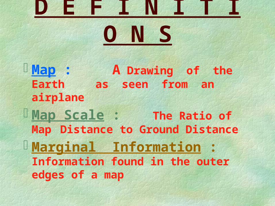
D E F I N I T I O N S
Map : A Drawing of the Earth as seen from an airplane
Map Scale : The Ratio of Map Distance to Ground Distance
Marginal Information : Information found in the outer edges of a map

Marginal Information
Series Name Sheet NameSheet NumberBar Scale

Marginal Info. continued
Adjoining Sheets Diagram
LegendDeclination DiagramContour Interval

M a p C o l o r sBlack : Manmade Features
Blue : Water Features Green : Vegetation
Brown : Elevation & Relief
Red : Main Roads & Special Features

Grid CoordinatesUsed to locate specific pointsNumbered : Vertical &
Horizontal Grid Lines Read RIGHT then UPLocation is where lines intersect

Coordinates
4 digits = 1000 Meters
6 digits = 100 Meters
8digits = 10 Meters

Measuring DistancesMeasure On MapConvert to Ground Distance
using the BAR SCALEStatute Miles , Meters , or
Nautical Miles

Elevation & Relief

Terrain Features1. Hill Top2. Valley3. Finger4. Saddle5. Depression
6. Draw7. Spur8. Cliff9. Cut10. Fill

Three NORTHSTRUE North (North
Star)
MAGNETIC North (Compass)
GRID North (Map)

PROTRACTOR

Map DirectionExpressed as an
Angular DirectionMeasured from a
North Base LineCalled an AZIMUTH

Back AzimuthOpposite DirectionShoot AzimuthAdd or Subtract 180 degreesCan’t be more than 360
or less than zero
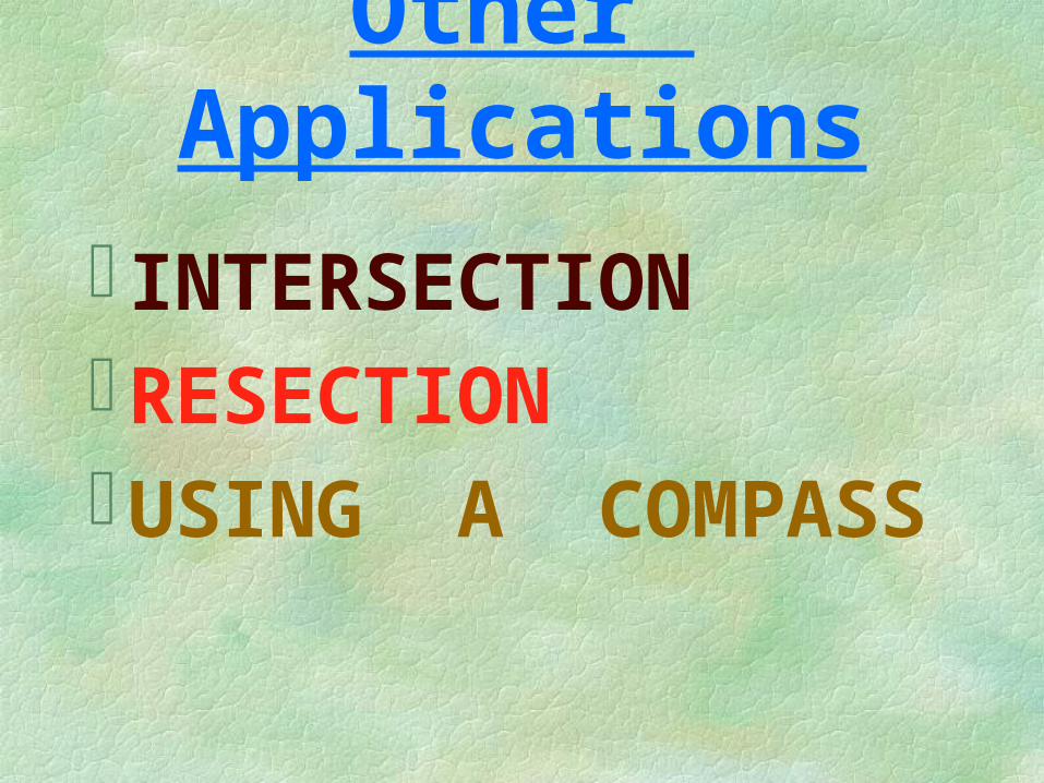
Other Applications
INTERSECTIONRESECTIONUSING A COMPASS

QUESTIONS???