land use planning and agriculture: measuring farmland conversion
TRANSCRIPT
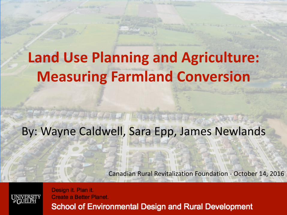
LandUsePlanningandAgriculture:MeasuringFarmlandConversion
By:WayneCaldwell,SaraEpp,JamesNewlands
CanadianRuralRevitalizationFoundation- October14,2016

ProjectFunders
• ThisresearchprojectwasfundedthroughtheOMAFRA-UniversityofGuelphpartnershipandwouldnothavebeenpossiblewithoutthisfinancialsupport
• OthergraduatestudentsupportprovidedbyAnissaMcAlpine

PresentationOutline
• Startingpremise–Challengeswithexistingmeasurementtools
• ResearchMethod• Findings• Challenges• NextSteps

StartingPremiseWearechallengedbytheabsenceofdatatoaccuratelydocumentchangestofarmland
availabilityovertime
Source:GeoOttawa

ExistingMethodscomewithChallenges
• Census – Onlydocumentslandinproduction(e.g.commodityprices).Itmaybedecadesbeforelandcomesoutofproductionfollowingalandusedecision.
• Aerialimagery– Variesacrosstheprovinceandmayormaynotdocumenttheimpactoflandusedecisions.
• MunicipalPerformanceMeasurementsystem–Provinciallymandatedandmaybehelpfulbuthaschallengesassociatedwithdataaccuracyandconsistency(methodologyiserraticbetweenmunicipalitiesandovertime).

• Delaybetweenapprovalsandlanddevelopment– Landoftencomesoutofproductionyearsafterapprovalshavebeengranted
–Whennewhousesarebuiltaformeragriculturaluseisvisiblylost
• AssumedpolicyfailureofGreenbeltorCountyorRegionalPlanning– Peopleseehousesbuiltonprimelandor“sprawl”andassumethatthe
planninginstrumentisn’tworking
LandApprovalsandDevelopment


ResearchMethodsThisresearchspecificallylookedatapprovedofficialplanamendmentsbyregion/countytoidentifytheamountoflandlosttourbanexpansionandother
non-agriculturallanduses.
Source:http://elcr.org/rural-sprawl/

ResearchMethods
• Themethodologyalsoincludedreviewingplanners'reports,officialplanpoliciesandprovinciallegislation
• 100soffileswerereviewedon-siteorwhenavailable,electronically
• Region/countystaffhavebeenconsultedforaidininterpretingindividualfileswhennecessary.

Timeframe– ResearchParameters• Startwiththeyear2000to2014• Capturedbothdatabeforethe2005PPSandbeforetheGreenbelt

StudySitesCompletedandinProgress
LegendCompleteInProgress

AgriculturalDesignationsOvertheYears- 2005
ApprovedbyRegionJune2005AppealedtotheOMBApprovedbyOMBDecember2006– 2,428hectaresofland

AgriculturalDesignationsOvertheYears- 2006
Twoexpansionstotalingapproximately7,000hectares

AgriculturalDesignationsOvertheYears- 2014
SettlementAreaBoundaryExpansion-208hectares

AgriculturalDesignationsOvertheYears– FutureGrowthExpectations
RedboxindicatestheMayfieldWestRuralServiceStudyAreaofapproximately5,000acres

Some FindingsSoFar
County/Region
NumberofapprovedOPAs
relatedtothelossofprime
agricultureland
Prime agricultureredesignated for:
DevelopmentDesignation(residential,commercial,industrial,
recreational,etc.)(Ha)
SecondaryAgriculture(Ha)
Non-farm usesthroughsite-specificpolicy
amendments (Ha)
Halton 12 2,656 0 287
Huron 2 25 0 0
Niagara 42 943 240 849
Peel 4 3,274 0 127
Perth 61 217 7 413
Wellington 35 817 16,295 86
York 16 5,233 1,755 0

NiagaraRegionFindingsorganizedbyapplicationdateandgeography
OutsidetheGreenbeltPlanArea
WithintheGreenbeltPlanArea Total
pre-2005 2005- 2014 pre-2005 2005-2014
PrimeAgricultureLandLost(Ha) 943 10 218 0 1,171ha
SiteSpecificNon-AgriculturalUses(Ha) 182 547 120 0 849ha

GreenbeltAreaTotals(Halton,Niagara,Peel,WellingtonandYork)
OutsidetheGreenbeltPlanArea
WithintheGreenbeltPlanArea Total
pre-2005 2005- 2014 pre-2005 2005-2014
PrimeAgricultureLandLost(Ha) 23,656 6,901 7,615 48 54,515ha
SiteSpecificNon-AgriculturalUses(Ha) 370 619 360 0 1,349ha

Challenges• RegionalVariation– Sitespecificpolicies• Permitteduses
• Definitionoffarmland– Secondaryagricultureandruraldesignations

NextSteps
• Completecasestudies• Analysis/report– Summaryoffindings– Trends
• Toolkit– Outlineofmethodology– Bestpractices

ThankYou