liverpool airport consultative committee 29 may … · 29-05-2015 · 18 minutes of meeting...
TRANSCRIPT

LIVERPOOL AIRPORT CONSULTATIVE COMMITTEE 29 MAY 2015(10.30 am - 1.00 pm)
PRESENT: Councillor Bob Swann, Chairman of Consultative Committee Councillor Terry Aldridge, Lancashire County CouncilAndrew Ambrose, Liverpool Airport General Aviation Users AssociationAlan Ascott, ARCH Under the BridgeCouncillor Steve Ball, Halewood Town CouncilMichelle Cameron, Liverpool Chamber of CommerceCouncillor Keith Deakin, St Helen’s Metropolitan Borough CouncilNorman Elias, passenger representativeCouncillor Evelyn Hudson, Hale Parish CouncilMarshall Morris, Chairman of Noise Monitoring Sub-CommitteeAlex Naughton, MerseytravelSimon Osborne, National TrustSteve Parish, Warrington Borough CouncilSteve Pearse, Friends of Liverpool AirportTony Rice, TransformCouncillor Michael Roche, Sefton Metropolitan Borough CouncilCouncillor Colin Rowan, Hale Bank Parish CouncilAngus Tilston MBE, Wirral Transport Users AssociationLiverpool John Lennon AirportAndrew Dutton, Head of EnvironmentLeon Gilmour, Air Traffic Services ManagerLucy O’Shaughnessy, Commercial DirectorRobin Tudor, Head of Public Relations, Peel AirportsSecretariatMike A Jones, Assistant Secretary
15 APOLOGIESApologies were received from:Claire Delahunty, Liverpool LEPCouncillor Allan Harvey, Knowsley Metropolitan Borough CouncilCouncillor Roy Harvey, reserve, Hale Bank Parish CouncilCouncillor Tom McInerney, Halton Borough Council Councillor Ralph Oultram, Cheshire West and Chester CouncilCouncillor Mark Warren, Frodsham Town Council
16 DISCLOSURE OF PERSONAL INTERESTSThere were no declarations of interests.
17 CHAIRMAN'S ANNOUNCEMENTSThere were no Chairman’s announcements.

18 MINUTES OF MEETING FRIDAY, 13 FEBRUARY 2015 OF LIVERPOOL AIRPORT CONSULTATIVE COMMITTEE
DECIDED: That
Subject to Tony Rice and Colin Rowan’s apologies being noted, the minutes of the meeting of the Liverpool Airport Consultative Committee held on 13 February 2015 be agreed as a correct record and signed by the Chairman.
19 MINUTES OF MEETING FRIDAY, 24 APRIL 2015 OF NOISE MONITORING SUB-COMMITTEE
DECIDED: That
The minutes of the meeting of the Noise Monitoring Sub-Committee held on 24 April 2015 be received.
20 MEMBERSHIPDECIDED: That
the following appointments be noted:
Michelle Cameron as reserve representative for Liverpool Chamber of Commerce; andSteve Ball as reserve representative for Halewood Parish Council.
21 PUBLIC QUESTION TIMEPaul Cummins of the British Motorist Protection Association posed questions (attached as Appendix A) concerning signage, stopping restrictions and penalty fines on the ‘Red Route’ approach road to the Airport on Liverpool Airport’s land.
Lucy O’Shaughnessy, Commercial Director at Liverpool John Lennon Airport, explained the background for the Red Route which had been previously announced at the Committee (Minute 35, 13 July 2012), and had been in place to control speed limits and stop unloading of passengers on the carriageway. The Red Route was operated by a separate company who operate under regulations. The Airport had full confidence in the fairness of the penalty system, which had signage on the roadside and also had a complaint and an independent appeal process. Since November 2014, only 1 out of 85 appeals heard by the Independent Appeals Service had been upheld. Mr Cummins disputed that the Red Route applied on private land, and contended that the signage was inadequate to be read whilst driving, and that the Airport was subject to Byelaws from 1982.
The Chairman felt that more information was needed about the legality of the Red Route, the legal basis for the penalties, the detail of the system in place and whether the system was fair and sustainable.
DECIDED: That
a report on the background of the Red Route be brought to a future Committee.

22 GNSS RNAV APPROACHESLeon Gilmour informed the Committee about the potential introduction of GNSS (Global Navigation Satellite System) at Liverpool John Lennon Airport and the possible associated consultation. He explained that GNSS was satellite navigation and it removed absolute reliance on ground based radar (ILS), using waypoints for aircraft to follow as they approached to land at the Airport. It had been previously called Random Navigation (RNAV) as it allowed a straight course which did not utilise waypoints. Any application of the system locally required liaison with adjacent airports.
Stakeholders were being identified and the airport would commence a consultation, probably in Summer 2015, for 12 weeks. Members would be requested to identify people in their organisation and inform the Airport or Secretariat of their contact details for the consultation if they were not the person to consult with on this matter. The presentation and consultation leaflet are attached to these minutes.
DECIDED: That
(1) the presentation on GNSS (Global Navigation Satellite System) be received, and
(2) Members report to the Secretariat with an identified contact for the consultation.
23 HALTON CURVE - UPDATE FROM MERSEYTRAVELAlex Naughton from Merseytravel provided an update on the Halton Curve.
The Halton Curve was a 3km single track railway line which linked the West Coast Main Line at Runcorn with North Cheshire, providing links then to North Wales. It had been closed in 1989 and could only be used one way. Merseytravel had been liaising with local authorities to enable use in both directions from 2017.
Reopening the route would enable direct rail access from Cheshire to Liverpool South Parkway Station near the Airport, and could be used for freight by industry in the area, notably vehicle production and biomass. An outline business case for employment, connectivity and sustainability had been produced, as well as a demand study, which were on the Merseytravel website for comments (http://www.merseytravel.gov.uk/about-us/local-transport-delivery/Pages/Halton-Curve.aspx). A final Business Case was to be completed by July 2015.
Members queried aspects of the proposal and welcomed the update.
DECIDED: That
the update on the Halton Curve from Merseytravel be received.
24 QUARTERLY REPORTRobin Tudor, Head of Public Relations, presented the Airport’s Quarterly Business Report, covering January to March 2015. Overall, there had been a 4% rise in passengers compared
to the previous year, with growth largely due to new scheduled services and increased load factors. Key points (with increases given in comparison with the equivalent period in the previous year) included: EasyJet had largely had the same numbers of passengers and capacity; Ryanair’s passenger numbers had slightly increased; Flybe had increased passenger numbers due to additional services, and had announced a new route to Amsterdam Schipol airport from September, which was a hub for worldwide services; Wizz Air saw an increase due to additional routes; Blue Air had a strong start to their services to Bucharest with load factors around 80%, and began a new service to Bacau;Car parking continued a low incident rate of 0.002% from almost 300,000 transactions;the extension of the perimeter fence to the East of the runway was progressing with the signing of the Section 106 agreement. The next stage was Halton Borough Council issuing formal planning approval; the passenger experience survey results were provided and showed a positive shift in areas targeted in a marketing campaign, but a decline in business passenger satisfaction, though efforts were being made to improve these; Thomson and First Choice had announced a new route from Summer 2016 to Palma, Majorca; Aer Lingus announced new flights to Dublin to start later in 2015 which gives access to flights to America; Senior Management had attended the Routes Europe conference and had spoken to 16 airlines Development work on departures continued, opening up the lounge and introducing new retail units, and enabling views over the apron, runway and estuary; Research from the CAA showed Liverpool’s flights were more likely to be on time than from 10 other top UK airports; London Heathrow Airport continued to use Liverpool’s support of its bid for expansion before the Davis Commission reported;filming continued of ‘Holiday Airport’ for Channel 5, for screening in July 2015.
DECIDED: That
the quarterly report be received.
25 COMPLAINTS AND QUERIESTwo questions from Richard Buttrey regarding the Red Route on the main access road to the Airport were circulated to Members. The Airport had responded directly to Mr Buttrey previously, but the issues raised should be covered in the report concerning the Red Route which had been requested earlier (Minute 21 above).
26 ANY OTHER BUSINESSA member raised an issue which had been reported to him of blue liquid spattering cars over a small area, which the car owner had attributed to discharge of toilet fluids from passing aircraft.
Robin Tudor confirmed that Aircraft do not discharge toilet fluid in mid air and the ‘blue rain’ was more likely to be from a factory, or from the ‘Red Arrows’ aerial display when the three Queen’s cruise liners were in Liverpool to celebrate the

175th anniversary of the Cunard company. He suggested that a local Council’s Environmental Health section was a more appropriate route to make enquiries.
27 DATE OF NEXT MEETINGThe next meeting of the Liverpool John Lennon Airport Consultative Committee is scheduled for Friday 11 September at 10.30 am in the Cavern Suite, Liverpool John Lennon Airport L24 1YD.
Chairman
Date

This page is intentionally left blank

page 1
Minute No. 21

page 2

page 3

page 4

03/08/15
1
Introduction to GNSS @ LJLA
Liverpool Airport Consultative Committee
29th May 2015
What is a GNSS?
• General Definition
Global Navigation Statelite System
Fixed waypoints in space (or SatNav for the aircraft)
• Terminology
Approach = Landing
GPS = GNSS
page 5
Minute No. 22

03/08/15
2
Why is it Necessary?
• Back-up or alternative option to ILS
• Improved predictability
• Improved integrity
• Improved continuity
• Improved accuracy
• Improved availability
Runway 09
page 6

03/08/15
3
The Plan to RNAV & beyond
• Civil Aviation Authority (CAA) CAP 725 (7 Step Process)
• Stakeholder comments Report back to your organisations
Who will be the point of contact for your organisation?
Who outside this room do you want use to speak to?
• NTCA
• Further questions to: Andrew Dutton
Head of Environment
[email protected] or (0151) 907 1637
page 7

This page is intentionally left blank
Let us know what you think!
Final ApproachGlobal Navigation Satellite System
page 9

The Airport is keen to take account of the views of those
who have an interest in the introduction of a new Global
Navigation Satellite System (GNSS) final approach
procedure for Runway 09 and Runway 27 at Liverpool
John Lennon Airport (LJLA). The opinions and comments
of local communities, aviation industry, business
interests and those of local government are all welcome.
TheintentionistointroducetheGNSSfinalapproaches
for runway 09 and 27 at LJLA. The new GNSS approaches
aim to replicate the current Instrument Landing System
(ILS) approaches as a contingency or alternate navigation
procedure, lining aircraft up with the runway and
glidepath safely.
The Airport believes that the introduction of new
GNSS procedures will have minimal additional impact
because they aim to directly replicate the current
centreline and glidepath of the ILS.
However, as a matter of good practice LJLA is consulting
with Local Authorities, Airlines, the General Aviation
Community, Air Navigation Service Providers (ANSP) and
the Airport Consultative Committee to seek their comments
and suggestions before instigating any change.
The Airport’s intention is to operate the GNSS approach
process as an alternative to aid safe landing of aircraft when
the ILS is not available. The number of aircraft using the
new procedure is expected to be less than 1% of all aircraft
movements at LJLA.
Introduction
page 10

The final approaches at LJLA are assisted by ground based
navigational aids. However, an increasing number of aircraft
in Europe have the potential to use Performance Based
Navigation (PBN) technology that does not require ground
based navigation aids and instead uses satellite and on-board
systems to navigate.
There are detailed requirements that must be applied in
order to achieve approval from the Civil Aviation Authority
(CAA) prior to the introduction of any new procedure. The
Regulator (CAA) ensures that the new procedure is the
“right thing to do” with regards to safety and
environmental impact.
In simple layman’s terms GNSS is for aircraft, what
Satnav is for a car. The main difference for the aviation
industry is that GNSS procedures are in 3 dimensions and
therearesignificantlymoresafetychecksoftheprocess
and procedures before they are introduced. At LJLA the
newGNSSproceduresapplyforthefinal12nauticalmiles
(nm) as aircraft align with the runway centreline.
TheGNSSfinalapproach for runway 09 would replicate the
existing ILS approach procedure starting on a 3 degree descent
angle at 7.5nm from the runway at an altitude of 2,500ft.
The Runway27GNSSfinalapproachwouldalsoreplicatethe
exiting ILS approach procedure starting at 5.9nm from the
runway at an altitude of 2,000ft. Aircraft would follow similar
tracksfromtheairwaynetworktolineuponthefinalapproach
as is currently the case today, therefore the only difference
wouldbetheequipmentbeingusedtomakethefinal
approach along the runway centreline.
Airlines,aircraftandflightcrewmustallbecertifiedbythe
CAApriortoflyinganyGNSSprocedure.
The diagrams below shows the actual tracks of the current
approaches for Runway 09 and 27 which will be replicated
by the proposed GNSS approach. A 3 degree glidepath
means aircraft descend at approximately 300ft per nm from
thestartofthefinalapproach.Henceat5nmfromtouch
down, aircraft will be at an altitude of approximately 1,500ft.
Runway 09 Actual Aircraft Approach Tracks Proposed 09 GNSS Approach Procedure
Runway 27 Actual Aircraft Approach Tracks Proposed 027 GNSS Approach Procedure
Aircraft arrival tracks between 8-14th June 2015 for Runway 09
Aircraft arrival tracks between 1- 7th June 2015 for Runway 27
GNSS Proposal @ LJLA
LIVERPOOL KNOWSLEY
HALTON
WARRINGTON
ST. HELENS
CHESHIRE WEST AND CHESTERSIR Y FFLINT - FLINTSHIRE
WIRRAL
LIVERPOOL KNOWSLEY
HALTON
WARRINGTON
ST. HELENS
CHESHIRE WEST AND CHESTERSIR Y FFLINT - FLINTSHIRE
WIRRAL
LIVERPOOL KNOWSLEY
HALTON
WARRINGTON
ST. HELENS
CHESHIRE WEST AND CHESTERSIR Y FFLINT - FLINTSHIRE
WIRRAL
LIVERPOOL KNOWSLEY
HALTON
WARRINGTON
ST. HELENS
CHESHIRE WEST AND CHESTERSIR Y FFLINT - FLINTSHIRE
WIRRAL
page 11

2015 54 dB LAeq,16h 2020 54 dB LAeq,16h Current Actual Arrival Tracks Proposed GNSS RNAV Track
This drawing contains Ordnance Survey Data © Crown Copyright and database right 2015.
The main benefit for LJLA is that these approaches will
offer a contingency to existing ground based
instrument approaches which in turn will support
continuity of operations should the ground based
equipment fail.
Thewiderbenefitstobegainedfromextendingthe
application of GNSS procedures beyond those
proposed are:
• Improvement to future environmental performance with
moreefficientroutes,moreaccurateflightpaths
following enabling the introduction of airspace initiatives
such as increased Transition Altitude (TA), the increased
use of Continuous Climb Operations (CCO) and
Continuous Descent Operations (CDO), reduced noise
exposure and reduction of CO2 emissions overall.
• Improvements to the precision of the navigational
infrastructure,increasedsystemisation,airtraffic
controller productivity and consistency of service.
What are the benefits of GNSS?
The Airport have asked Bickerdike Allen Partners
(BAP) and Air Quality Consultants (AQC) who are both
independent experts in their respective fields of
environmental noise and air pollution to comment and
review the proposed new GNSS approach procedures.
Their findings show:
Noise
To help assess the noise impact of the new procedures BAP have
produced summer daytime LAeq,16h noise exposure contours for
2015 and 2020. Taking a conservative approach the contours were
produced down to 54 dB LAeq,16h.
The 54 dB daytime noise contours are shown below with
the tracks of the arriving aircraft on Runway 09 and 27.
The 54 dB contour does not extend beyond the points where
thearrivingaircraftflycurrently,alongtheextended
centreline of the runway. Therefore use of the proposed
GNSSprocedureisnotexpectedtohaveanysignificant
effect on the size or shape of the noise exposure contours,
as the aircraft tracks are expected to be unaltered.
What are the expected Environmental Impacts?
page 12

What are the benefits of GNSS? The Sound Exposure Level (SEL) noise footprint of a
Boeing 737-800 aircraft has been used to help assess the
night time noise impact of the new GNSS procedure.
The Boeing 737-800 was selected because it is the
nosiest of the frequently operating night time aircraft.
The 90 dB SEL footprints of an arriving Boeing 737-800 is
relatively small and on Runway 09 it does not extend
across the estuary, therefore, it does not affect any
residences. The 80 dB SEL footprint extends to the point
by which almost all current arrivals have completed their
finalturnontotheextendedcentrelineoftherunway.
The use of the new system is therefore not expected to have
asignificanteffectonthearrivaltracksflownfromthis
point,andsonosignificanteffectontheSELfootprint.
The 90 dB SEL footprint for Runway 27 approach does
notextendbeyondtheareawherearrivingaircraftfly,and
will remain, on the extended centreline. It is not therefore
expected to be affected by the use of the new system.
The 80 dB SEL extends further, and in some cases this
is beyond the point that some of the arrivals have
established themselves onto the extended centreline.
Manyoftheseflightsarehoweverthosewhichare
performing a visual approach and are likely to continue
to do so if the proposed GNSS procedure is introduced
until the NTCA review facilitates continuous descent
approaches and so will not be affected by the
introduction of the new proposed GNSS procedures.
Forsomeoftheremainingflightsthereisthepossibility
of a very slight change to their 80 dB SEL footprints with
the introduction of the new procedure in this vicinity;
however it is unlikely this would result in a perceptible
change in noise on the ground below.
Local Air Quality
The Airport monitors air quality in partnership with
Liverpool City Council around the airport and local air
quality conditions in the vicinity of LJLA is good.
Theairport’saviationoperationhasnotsignificantly
affected local air quality.
The proposed GNSS procedures will not alter aircraft
operations below 100m altitude; therefore, there should
be no measurable change to local air quality conditions
in the environs around the airport.
TheAirportanticipatespassengergrowthoverthenextfive
years to increase from 4 million in 2014/5 to 5.7 million in
2019/20. This compares to 5.8million in 2007/8, therefore,
the anticipated increase in activity is unlikely to exceed
historical air quality levels which have been good over the
last eight years.
CO2 emissions
An aircraft’s CO2 emissions are directly proportional to the fuel
burnt. Overall fuel burn on approach relates to the time taken
to approach and the thrust power settings of the engine.
The proposed GNSS procedures will not affect the time taken
to descend nor the engine thrust setting, therefore, the
emissions level of CO2 are unlikely to change from those
associated with the current ILS procedures.
Environmental Summary
The introduction of the proposed GNSS approaches is not going
toalteraircraftflightpatternsandisexpectedtohaveanegligible
or no measureable additional environmental impact. This is
because the GNSS is to be used as a contingency if the ILS is not
available. Therefore, only a small number of aircraft are expected to
actualflytheGNSSprocedureeachyear(<1%).Aircraftflyingthis
approach will be handled and positioned by ATC professionals in
exactly the same manner as they currently are for ILS approaches.
What are the expected Environmental Impacts?
page 13

Aviation stakeholders are working together to develop
the Future Airspace Strategy for 2030.
The primary objective is to develop a “safe, efficient
airspace that has the capacity to meet reasonable
demand, balance the needs of all users and mitigate the
impacts of aviation on the environment”.
The UK national strategy integrates the UK’s
commitment under Single European Sky (SES)
legislation, including implementation of the Single
European Sky Air Traffic Management Research
(SESAR) programme.
In the north of England this will be introduced and
implemented via the Northern Terminal Control Area
(NTCA) Airspace Review, the proposed LJLA GNSS
procedure is not part of this overall NTCA review.
The navigation infrastructure is a key element in
PBN and the transition to this environment is linked to
a move towards a space-based navigation environment
and a move away from dependence on traditional
ground-based navigation infrastructure
(e.g. Non-Directional Beacon) facilities.
It introduces precision navigation from the airways
(motorways in the sky) to the runway enabling
Continuous Descent Operation (CDO) and Continuous
Climb Operations (CCO) reducing carbon dioxide
emissions and noise exposure overall.
The Airport is keen to take account of the views
of those with an interest in the introduction of these
proposed new GNSS procedures at LJLA.
A period of consultation on the proposed new procedures
has now been launched with the Airport Company seeking
comment upon the proposals until 14th October 2015.
More details about the background are available on the
LJLA website [www.liverpoolairport.com]. Enquiries and
feedback regarding the proposed GNSS procedures can
be made via the feedback form below, or the following
contact details:
Tel No: 0151 907 1645 (24 hour answer machine)
Email: [email protected]
In addition, there are three consultation “drop in” events,
open to everyone and to be held in the Cavern Suite
at LJLA with staff on hand to answer any questions.
These are due to take place on:
• Wednesday 19th August 2015 (10:00 to 12:00)
• Saturday 5th September 2015 (10:00 to 12:00)
• Monday 14th September 2015 (17:00 to 19:00)
• Friday 9th October 2015 (14:00 to 16:00)
The Airport Company wants your views on the following
elements of the GNSS proposal and the consultation
process at LJLA. The deadline for comments is
14th October 2015:
Where does this fit into future plans?
Let us know what you think!
page 14
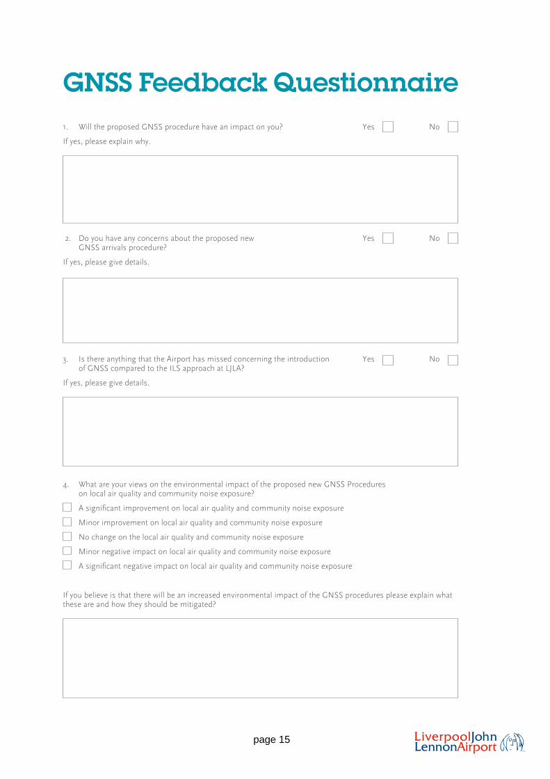
1. Will the proposed GNSS procedure have an impact on you? Yes No
If yes, please explain why.
2. Do you have any concerns about the proposed new Yes No GNSS arrivals procedure?
If yes, please give details.
3. Is there anything that the Airport has missed concerning the introduction Yes No of GNSS compared to the ILS approach at LJLA?
If yes, please give details.
4. What are your views on the environmental impact of the proposed new GNSS Procedures on local air quality and community noise exposure?
Asignificantimprovementonlocalairqualityandcommunitynoiseexposure
Minor improvement on local air quality and community noise exposure
No change on the local air quality and community noise exposure
Minor negative impact on local air quality and community noise exposure
Asignificantnegativeimpactonlocalairqualityandcommunitynoiseexposure
If you believe is that there will be an increased environmental impact of the GNSS procedures please explain what these are and how they should be mitigated?
Where does this fit into future plans?
GNSS Feedback Questionnaire
Let us know what you think!
page 15
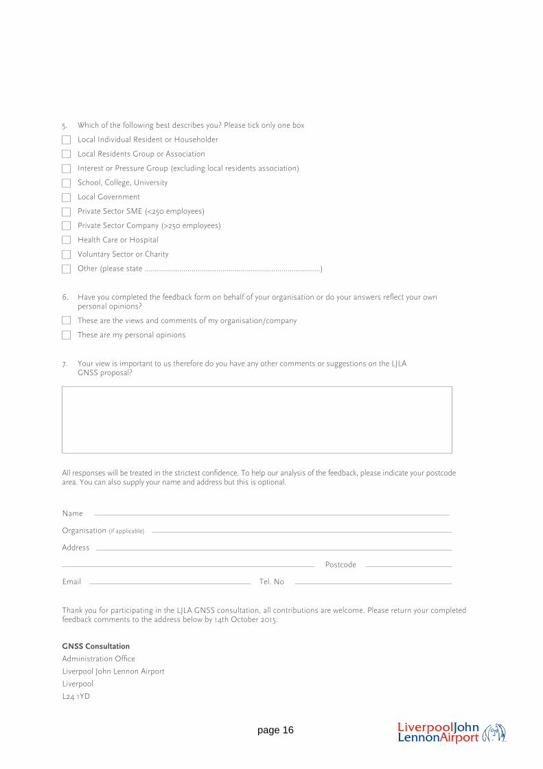
5. Which of the following best describes you? Please tick only one box
Local Individual Resident or Householder
Local Residents Group or Association
Interest or Pressure Group (excluding local residents association)
School, College, University
Local Government
Private Sector SME (<250 employees)
Private Sector Company (>250 employees)
Health Care or Hospital
Voluntary Sector or Charity
Other (please state …………………………………………………………………………..)
6. Haveyoucompletedthefeedbackformonbehalfofyourorganisationordoyouranswersreflectyourownpersonal opinions?
These are the views and comments of my organisation/company
These are my personal opinions
7. Your view is important to us therefore do you have any other comments or suggestions on the LJLA GNSS proposal?
Allresponseswillbetreatedinthestrictestconfidence.Tohelpouranalysisofthefeedback,pleaseindicateyourpostcodearea. You can also supply your name and address but this is optional.
Name
Organisation (if applicable)
Address
Postcode
Email Tel. No
Thank you for participating in the LJLA GNSS consultation, all contributions are welcome. Please return your completed feedback comments to the address below by 14th October 2015:
GNSS Consultation
AdministrationOffice
Liverpool John Lennon Airport
Liverpool
L24 1YD
page 16