magazine1
DESCRIPTION
ÂTRANSCRIPT

PJUN
E 2
01
4
1ST ISSUE
DEVELOPMENT PLANNING
J
1ST ISS
DEVELOPMENTT PLANNI
D
Development information services gps units
t)
DEMARCATION BOUNDARIES
MUNICIPALITIESSPEAK OUT
Business in Maphumulo
View from the manager
Maphumulo Town up for businessdeclared a formalised township on 14 September 2012Md
CONTENT
MIG PROGRAM - PAGE1
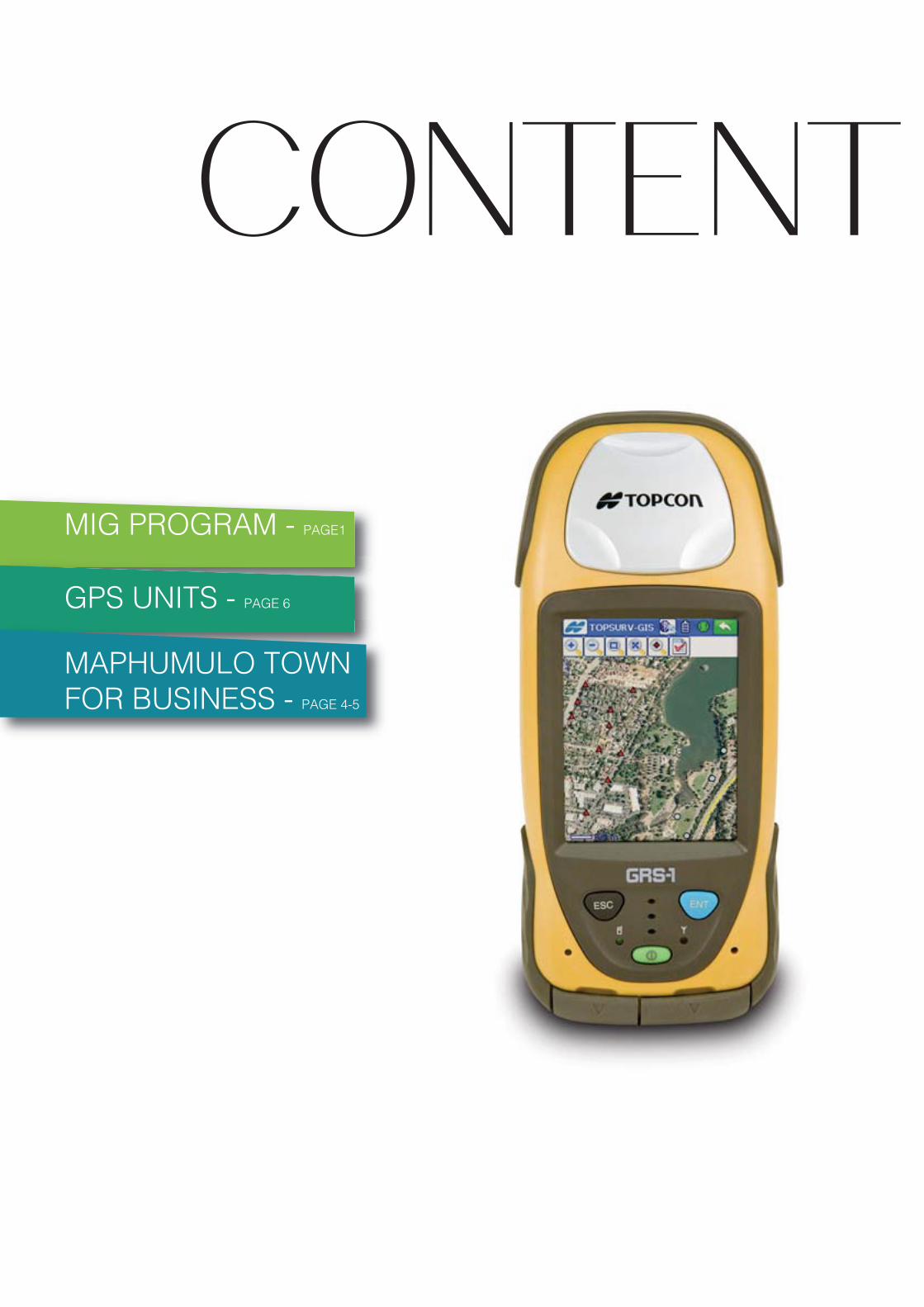
GPS UNITS - PAGE 6
MAPHUMULO TOWNFOR BUSINESS - PAGE 4-5

PJUN
E 2
01
4
1ST ISSUE
DEVELOPMENT PLANNING
J
1ST ISS
DEVELOPMENTT PLANNI
DPASSING JUDGMENT ON SUITABILITY OF MIG PROJECT LOCATION
Input - Activities - Output - Outcomes - Impact; so goes the mantra for ideal, efficient and effective service delivery. The last element is the hardest to measure under most circumstances and infinitely so in the case of investment on infrastructure. The common questions being asked all the time by the powers that be are; how much has been invested? Where? What is the output/outcome? Most importantly; has it been worth it? Without putting the investment on infrastructure in its proper spatial context or un-dertaking an exhaustive study/research on the impact on the area it is indeed very difficult to tell whether the investment has made a positive impact on the lives of the people on the ground.
MIG PROGRAM
Municipal Infrastructure Grant (MIG) funding is provided by National Government to municipalities across the country to supplement the municipalities’ capital budgets in order that, amongst other things, they are able to provide basic services to poor households. In KZN the municipalities have literally spent billions on MIG projects since its inception in 2004 and with such huge amounts of money at stake it becomes imperative to demonstrate that at least the funding was spent in the right place and hopefully it is making a positive impact. Confidence of the public in local government can only be enhanced if government is able to show that funds are spent in the most deserving areas and there are tangible changes for the better in the lives of the people.
COGTA as mandated to play an oversight role over local government structures obviously has a vested interest in seeing the populace’s confidence in these structures improve. The most appropriate way to demonstrate that investment was made in the right place is to give a spatial context to the MIG funding expenditure and this is what DIS has done in the last 4 years. MIG projects come in 5 broad categories viz. water & sanitation, roads & storm water, community facilities, LED and other; DIS has sourced the information on the MIG funding from one of our fellow units responsible for MIG support to the municipalities. The raw data is supplied in spread sheets indicating, amongst other things; project type, project status, project funding, project description, etc.
PAGE1
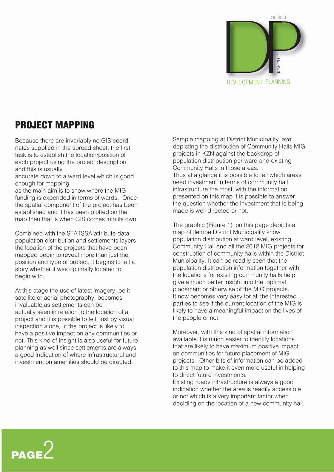
PROJECT MAPPINGBecause there are invariably no GIS coordi-nates supplied in the spread sheet, the first task is to establish the location/position of each project using the project description and this is usually accurate down to a ward level which is good enough for mapping as the main aim is to show where the MIG funding is expended in terms of wards. Once the spatial component of the project has been established and it has been plotted on the map then that is when GIS comes into its own.
Combined with the STATSSA attribute data, population distribution and settlements layers the location of the projects that have been mapped begin to reveal more than just the position and type of project, it begins to tell a story whether it was optimally located to begin with.
At this stage the use of latest imagery, be it satellite or aerial photography, becomes invaluable as settlements can be actually seen in relation to the location of a project and it is possible to tell, just by visual inspection alone, if the project is likely to have a positive impact on any communities or not. This kind of insight is also useful for future planning as well since settlements are always a good indication of where infrastructural and investment on amenities should be directed.
PJUN
E 2
01
4
1ST ISSUE
DEVELOPMENT PLANNING
J
1ST ISS
DEVELOPMENTT PLANNI
DSample mapping at District Municipality level depicting the distribution of Community Halls MIG projects in KZN against the backdrop of population distribution per ward and existing Community Halls in those areas. Thus at a glance it is possible to tell which areas need investment in terms of community hallinfrastructure the most, with the information presented on this map it is possible to answer the question whether the investment that is being made is well directed or not.
The graphic (Figure 1) on this page depicts a map of Ilembe District Municipality show population distribution at ward level, existing Community Hall and all the 2012 MIG projects for construction of community halls within the District Municipality. It can be readily seen that the population distribution information together with the locations for existing community halls help give a much better insight into the optimal placement or otherwise of the MIG projects. It now becomes very easy for all the interested parties to see if the current location of the MIG is likely to have a meaningful impact on the lives of the people or not. Moreover, with this kind of spatial information available it is much easier to identify locations that are likely to have maximum positive impact on communities for future placement of MIG projects. Other bits of information can be added to this map to make it even more useful in helping to direct future investments. Existing roads infrastructure is always a good indication whether the area is readily accessible or not which is a very important factor when deciding on the location of a new community hall.
PAGE2

Figure 1.
So it is that when GIS is harnessed to remove all the clutter of voluminous reports, charts and tables by replacing it with a clear picture; all the role players are able to see at a glance if the expenditure on any MIG project is likely to have a desirable outcome or not. Closely allied to this is the issue of ‘’areas of greatest need’’ which has brought about the concept of mapping the backlogs on basic services. This should facilitate sound decision making insofar as where future investment on basic services has to be made and DIS has already taken some steps in this direction. Undoubtedly, as more data on these is collected, the more accurate this mapping should become and a clearer picture will begin to emerge whether the MIG program is turning the tide against the basic services backlogs.
PJUN
E 2
01
4
1ST ISSUE
DEVELOPMENT PLANNING
J
1ST ISS
DEVELOPMENTT PLANNI
D
PAGE3

Date Last Modified: Date: 2013/04/16 Time: 08:45:14 AM (3rd Print)_**_Path: \\Tembelani\verbatim (g)\PROJECTS\ILLEMBE\Maphumulo\Map 1053\Maphumolo Town_Urban Scheme\Urban Scheme.mxd
P
CF
MO
SS
CL
PS
MC
L
CH
Cr
RC
0430 170
Meters
§Legend
Proposed Urban Scheme Boundary
Cadastral (September 2011)
Adjusted Cadastral
Residential Only Detached 1
Residential Only Detached 2
Residential high Impact
Municipal and Government
Core Mixed Use
Medium Impact Mixed Use
Light Industry
Transportation (Taxi Rank)
Existing Road
Proposed Roads
Urban Agriculture
Education
Public Open Space
Active Open Space
CF Correctional Facility
Notes:
CR Crèche
CL ClinicP Police StationSS Secondary SchoolPS Primary SchoolRC Resource CentreMC Magistrate CourtMO Municipal OfficeCH Community HallW WorshipL Library
Note:1.The Cadastral Base providedhas been adjusted as perfindings at land use and tocreate proper access. Adjustedlines are shown in Blue. It isnot registered in the SG's officeand needs to be checked by aSurveyor.2.Informal housing in proposedroad to be relocated.
Date
GIS
Pogiso GoleleScale
Job No
MAP 1053
Nov 2011
1:5 000
Updated: June 2012
@A2
MAPHUMULO TOWN
Maphumulo Town Urban Scheme was adoptedon 22 January 2013 in accordance with Section 13(1)(a) of the KwaZulu Natal Planning and Development Act,2008 (Act 06 of 2008) as per Council Resolution MAPCO:100/08/13
Maphumulo Town declared a formalised township on 14 September 2012,in terms of Sections 12 and 15(1) of the Upgrading of Land Tenure Rights Act, 1991 (Act No 112 of 1991)as per Extraordinary Provincial Gazette Notice No. 106, dated 14 September 2012
SUPPORTED BY:Maphumulo
Investor Enquiries:Tel: 032 481 4520Fax: 032 481 2053
TOR74
TOR74
P
CF
MO
LLLLLL
CCCCCCCH
Cr
MUNICIPAL OFFICES