minnesota department of natural resources...areas with limitations shall become effective september...
TRANSCRIPT
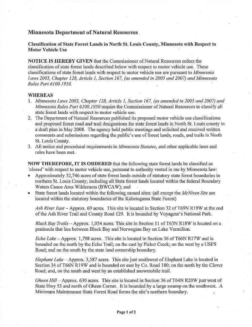
Minnesota Department of Natural Resources
Classification of State Forest Lands in North St Louis County Minnesota with Respect to Motor Vehicle Use
NOTICE IS HEREBY GIVEN that the Commissioner ofNatural Resources orders the classification of state forest lands described below with respect to motor vehicle use These classifications of state forest lands with respect to motor vehicle use are pursuant to Minnesota Laws 2003 Chapter 128 Article 1 Section 167 (as amended in 2005 and 2007) and Minnesota Rules Part 61001950
WHEREAS I Minnesota Laws 2003 Chapter 128 Article 1 Section 167 (as amended in 2005 and 2007) and
Minnesota Rules Part 61001950 require the Commissioner ofNatural Resources to classify all state forest lands with respect to motor vehicle use
2 The Depai1ment ofNatural Resources published its proposed motor vehicle use classifications and proposed forest road and trail designations for state forest lands in North St Louis county in a draft plan in May 2008 The agency held public meetings and solicited and received written comments and submissions regarding the publics use of forest lands roads and hmiddotails in North St Louis County
3 All notice and procedural requirements in 11innesota Statutes and other applicable laws and rules have been met
NOW THEREFORE IT IS ORDERED that the following state forest lands be classified as closed with respect to motor vehicle use pursuant to authority vested in me by Minnesota law bull Approximately 32746 acres of state forest lands outside of statutory state forest boundaries in
northern St Louis County including middotall State forest lands located within the federal Boundary Waters Canoe Area Wilderness (BWCA W) and
bull State forest lands located within the following named sites (all except the McNiven Site are located within the statutory boundaries of the Kabetogama State Forest)
Ash River East - Approx 69 acres This site is located in Section 32 of T69N RI 9W at the end of the Ash River Trail and County Road 129 It is bounded by Voyageurs National Park
Black Bay Trails - Approx 1054 acres This site in Section 11 of T63N Rl 8W is located on a peninsula that lies between Black Bay and Norwegian Bay on Lake Vermilion
Echo Lake - Approx 1798 acres This site is located in Section 36 ofT66N Rl 7W and is bounded on the north by the Echo Trail on the east bymiddot Picket Creek on the west by a USFS Road and on the south by the state land ownership boundary
Elephant Lake - Approx 3587 acres This site just southwest of Elephant Lake is located in Section 34 ofT66N Rl9W and is bounded on east by Co Road 180 on the north by the Clover Road and on the south and west by an established snowmobile trail
Gheen Hill - Approx 630 acres This site is located in Section 36 ofT64N R20W just west of State Hwy 53 and north of Gheen Corner It is bounded by a large swamp on the southwest A Minimum Maintenance State Forest Road forms the sites northern boundary
Page 1 of2
Willow Valley- Approx 1460 acres This site is located in Section 17 ofT63N R21 W it is bounded on the north by Willow River and private prope1ty lines on the east by a township road on the south by prope1ty lines and wetlands and on the west by private property lines
McNiven-Approx 3741 acres This site is located in Section 16 ofT19N Rl9W It is bounded on the west north and east (partially) by Slow Creek and on the south by County Road 469 County Road 25 bisects the area running n01th-south through the center of the parcel
These state forest lands are depicted as closed on the maps in Exhibit B attached hereto and incorporated herein
IT IS FURTHER ORDERED that the following state forest lands be classified as limited with respect to motor vehicle use pursuant to authority vested in me by Minnesota law bull _State forest lands in the Bear Island State Forest bull State forest lands in the Burntside and Lake Jeanette State Forests except for those lands
located within the BWCAW lands within the BWCAW are closed to motor vehicle use bull Approximately 3944 acres of land termed the Ash River West Site located within the
Kabetogama State Forest This site is located in T68-69N R20-21 W It lies east of Highway 53 n01th of County Road 129 and n01th of the Ash River Trail It is bounded by Voyageur s National Park on the north by snowmobile and hiking trails on the south and by streams on the east and west
bull Approximately 91 868 acres of state forest lands outside of statutory state forest boundaries in northern St Louis County and
These state forest lands are depicted as limited on the maps in Exhibit A attached hereto and incorporated herein
IT IS FURTHER ORDERED that the following state forest lands be classified as managed with respect to motor vehicle use pursuant to authority vested in me by Minnesota law bull State forest lands in the Kabetogama State Forest except for the 3944 acre Ash River West
Site (above) bull Approximately 142824 acres of state forest lands outside of statutory state forest boundaries in
Northern St Louis County and These state forest lands are depicted as managed on the maps in Exhibit A attached hereto and incorporated herein
IT IS FURTHER ORDERED that the above motor vehicle use classifications and designations of areas with limitations shall become effective September 1 2009
Date ~ 2 Imiddot o( Mark Holsten Commissioner Department of Natural Resources
Page 2 of2
T70
T69
T68
T67
T66
T65
T64
T63
T61 Superior National Forest
R17
Exhibit A State Forest
Land Classification
Classification
r====i
IL===n State Forest
Closed
Limited
Managed
BWCAW
National Forest
T60
T59
T58
T57
T56
T55
~ C - J ~
---~- -imiddot -- middot- -bull
c
14 - - - - - - - - 1 shy - - - - - - -
bullbullabull-=bullbullc==bullbullbullc==bullbull-Miles 0 5 10 15 20 25
N
A shy shy shy
t bullbull t-f _ bull L- - - bull - I ~
J bull bull
I I
I
---~ 1 31111jiiir -
bull
bullbullaMCJMc==1111bullbullc===-bull- Miles 0 5 10 15 20 25
N
A
T70
T69
T68
T67
T66
T65
T64
T63
R21 bull Exhibit B middotR17 Areas With
Motor Vehicle Use Restrictions
[F==1lb== State Forest
BWCAW-~-- National Forest
T61 Willow Valley
Black Bay Trails
Superior National Forest r
bull lshy T60
T59
T58
T57
T56
T55

T70
T69
T68
T67
T66
T65
T64
T63
T61 Superior National Forest
R17
Exhibit A State Forest
Land Classification
Classification
r====i
IL===n State Forest
Closed
Limited
Managed
BWCAW
National Forest
T60
T59
T58
T57
T56
T55
~ C - J ~
---~- -imiddot -- middot- -bull
c
14 - - - - - - - - 1 shy - - - - - - -
bullbullabull-=bullbullc==bullbullbullc==bullbull-Miles 0 5 10 15 20 25
N
A shy shy shy
t bullbull t-f _ bull L- - - bull - I ~
J bull bull
I I
I
---~ 1 31111jiiir -
bull
bullbullaMCJMc==1111bullbullc===-bull- Miles 0 5 10 15 20 25
N
A
T70
T69
T68
T67
T66
T65
T64
T63
R21 bull Exhibit B middotR17 Areas With
Motor Vehicle Use Restrictions
[F==1lb== State Forest
BWCAW-~-- National Forest
T61 Willow Valley
Black Bay Trails
Superior National Forest r
bull lshy T60
T59
T58
T57
T56
T55