mitchell trailhead - los alamos, nm · mitchell trailhead. on. trinity drive los alamos airport los...
TRANSCRIPT
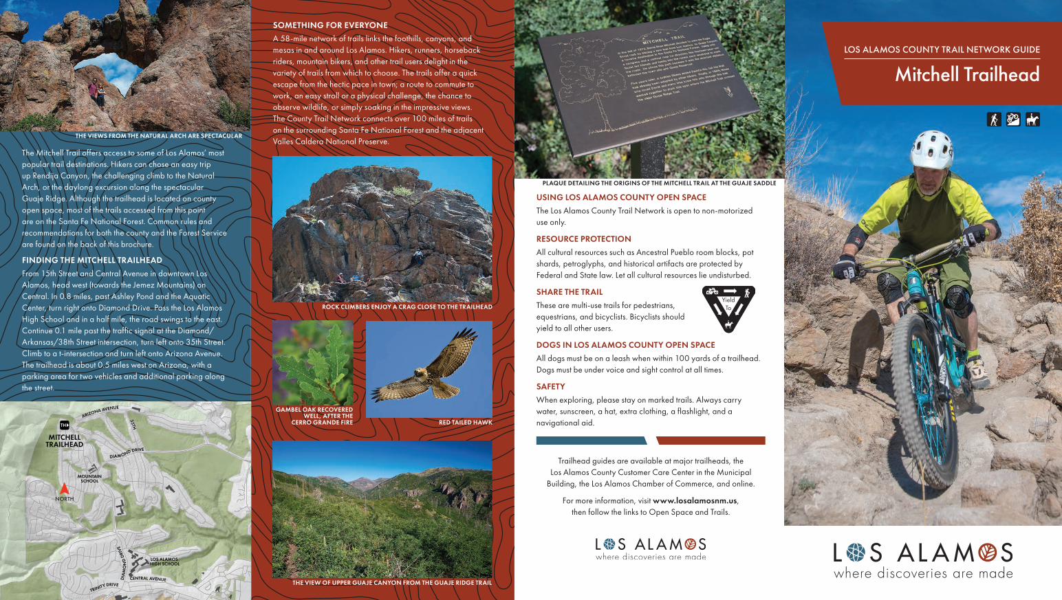
LOS ALAMOS COUNTY TRAIL NETWORK GUIDE
Mitchell Trailhead
The Mitchell Trail offers access to some of Los Alamos’ most popular trail destinations. Hikers can chose an easy trip up Rendija Canyon, the challenging climb to the Natural Arch, or the daylong excursion along the spectacular Guaje Ridge. Although the trailhead is located on county open space, most of the trails accessed from this point are on the Santa Fe National Forest. Common rules and recommendations for both the county and the Forest Service are found on the back of this brochure.
FINDING THE MITCHELL TRAILHEADFrom 15th Street and Central Avenue in downtown Los Alamos, head west (towards the Jemez Mountains) on Central. In 0.8 miles, past Ashley Pond and the Aquatic Center, turn right onto Diamond Drive. Pass the Los Alamos High School and in a half mile, the road swings to the east. Continue 0.1 mile past the traffic signal at the Diamond/Arkansas/38th Street intersection, turn left onto 35th Street. Climb to a t-intersection and turn left onto Arizona Avenue. The trailhead is about 0.5 miles west on Arizona, with a parking area for two vehicles and additional parking along the street.
MITCHELLTRAILHEAD
PUEBLO CANYON
TRINITY DRIVE
LOS ALAMOS AIRPORT
LOS ALAMOS HIGH SCHOOL
MOUNTAINSCHOOL
LOS ALAMOS MEDICAL CENTER
CENTRAL AVENUE
TRINITY DRIVECENTRAL AVENUED
IAM
ON
D D
RIVE
ARIZONA AVENUE
35TH
DIAMOND DRIVE
SOMETHING FOR EVERYONEA 58-mile network of trails links the foothills, canyons, and mesas in and around Los Alamos. Hikers, runners, horseback riders, mountain bikers, and other trail users delight in the variety of trails from which to choose. The trails offer a quick escape from the hectic pace in town; a route to commute to work, an easy stroll or a physical challenge, the chance to observe wildlife, or simply soaking in the impressive views. The County Trail Network connects over 100 miles of trails on the surrounding Santa Fe National Forest and the adjacent Valles Caldera National Preserve.
PLAQUE DETAILING THE ORIGINS OF THE MITCHELL TRAIL AT THE GUAJE SADDLE
ROCK CLIMBERS ENJOY A CRAG CLOSE TO THE TRAILHEAD
RED TAILED HAWK
GAMBEL OAK RECOVERED WELL, AFTER THE
CERRO GRANDE FIRE
THE VIEW OF UPPER GUAJE CANYON FROM THE GUAJE RIDGE TRAIL
THE VIEWS FROM THE NATURAL ARCH ARE SPECTACULAR
USING LOS ALAMOS COUNTY OPEN SPACEThe Los Alamos County Trail Network is open to non-motorized use only.
RESOURCE PROTECTIONAll cultural resources such as Ancestral Pueblo room blocks, pot shards, petroglyphs, and historical artifacts are protected by Federal and State law. Let all cultural resources lie undisturbed.
SHARE THE TRAILThese are multi-use trails for pedestrians, equestrians, and bicyclists. Bicyclists should yield to all other users.
DOGS IN LOS ALAMOS COUNTY OPEN SPACEAll dogs must be on a leash when within 100 yards of a trailhead. Dogs must be under voice and sight control at all times.
SAFETYWhen exploring, please stay on marked trails. Always carry water, sunscreen, a hat, extra clothing, a flashlight, and a navigational aid.
Trailhead guides are available at major trailheads, the Los Alamos County Customer Care Center in the Municipal
Building, the Los Alamos Chamber of Commerce, and online.
For more information, visit www.losalamosnm.us, then follow the links to Open Space and Trails.
The Mitchell Trail, resident David Mitchell’s Eagle Scout project in 1974, connects Los Alamos with Guaje Canyon. The trail ascends 1,500 feet in 2.4 miles to reach the top
of Guaje Ridge, but there is an easier journey of the same distance that doesn’t require making the entire climb to Guaje Ridge. The trail ascends Rendija Canyon through the Cerro Grande burn scar where vegetative recovery is healing the landscape. The return leg climbs then descends along a low ridge with 360-degree views. The trip makes a nice winter hike or a perfect after dinner stroll.
Starting from the trailhead, travel up hill along the Mitchell Trail. Meet the Perimeter Trail coming in from the left, go over a low ridge, and continue straight when the Perimeter Trail heads to the right. Skirt below a water tank and make a crossing of a dry stream channel. From here, it is a mile-long ascent, climb several switchbacks to reach the ridgetop. Return to the trailhead by the same route.
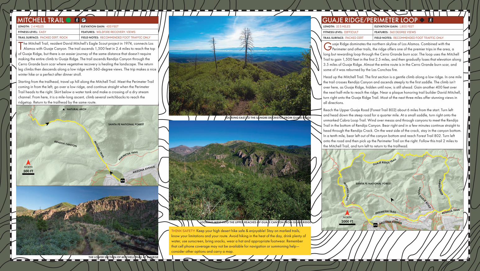
Guaje Ridge dominates the northern skyline of Los Alamos. Combined with the Perimeter and other trails, the ridge offers one of the premier trips in the area, a
long but rewarding loop through the Cerro Grande burn scar. The loop uses the Mitchell Trail to gain 1,500 feet in the first 2.5 miles, and then gradually loses that elevation along 3.5 miles of Guaje Ridge. Almost the entire route is in the Cerro Grande burn scar, and some of it was reburned by the Las Conchas fire.
Head up the Mitchell Trail. The first section is a gentle climb along a low ridge. In one mile the trail crosses Rendija Canyon and ascends steeply to the first saddle. The climb isn’t over here, as Guaje Ridge, hidden until now, is still ahead. Gain another 400 feet over the next half-mile to reach the ridge. Near a plaque honoring trail builder David Mitchell, turn right onto the Guaje Ridge Trail. Most of the next three miles offer stunning views in all directions.
Reach the Upper Guaje Road (Forest Trail 802) about 6 miles from the start. Turn left and head down the steep road for a quarter mile. At a small saddle, turn right onto the unmarked Cabra Loop Trail. Wind over mesas and through canyons to meet the Rendija Trail in the bottom of Rendija Canyon. Bear right and in a few minutes continue straight to head through the Rendija Crack. On the west side of the crack, stay in the canyon bottom. In a tenth mile, bear left out of the canyon bottom and reach Forest Trail 802. Turn left onto the road and then pick up the Perimeter Trail on the right. Follow this trail 2 miles to the Mitchell Trail, and turn left to return to the trailhead.
MITCHELL TRAIL ● LENGTH: 2.4 miles ELEVATION GAIN: 400 FEET
FITNESS LEVEL: EASY FEATURES: wildfire recovery, VIEWS
TRAIL SURFACE: PACKED DIRT, ROCK FIELD NOTES: recommended FOOT TRAFFIC ONLY
GUAJE RIDGE/PERIMETER LOOP ◆ LENGTH: 10.5 Miles ELEVATION GAIN: 1,800 FEET
FITNESS LEVEL: DIFFICULT FEATURES: 360 degree views
TRAIL SURFACE: PACKED DIRT FIELD NOTES: recommended FOOT TRAFFIC ONLY
MITCH
ELL TRAIL
500 FT
SANTA FE NATIONAL FOREST
NATURAL ARCH
PE
RIMETER TRAIL
ARIZONA AVENUE
RENDIJA CANYON
2000 FT
GUAJE RIDG E TRAIL
MITCH
ELL TRAIL
PERIMETER TRAIL
CA
BR
A LO
OP
RENDIJA TRAIL
ARIZONA AVENUE
UPP
ER
G
UAJE ROAD
SANTA FE NATIONAL FOREST
THINK SAFEty: Keep your high desert hike safe & enjoyable! Stay on marked trails, know your limitations and your route. Avoid hiking in the heat of the day, drink plenty of water, use sunscreen, bring snacks, wear a hat and appropriate footwear. Remember that cell phone coverage may not be available for navigation or summoning help—consider other options and carry a map.
LOOKING EAST TO THE SANGRE DE CRISTOS FROM GUAJE RIDGE
LOOKING WEST INTO THE UPPER REACHES OF GUAJE CANYON FROM GUAJE RIDGE
THE LOWER SECTION OF MITCHELL TRAIL AT SUNRISE