nextgen operator and airport enablers - ads-b for general ...adsbforgeneralaviation.com ›...
TRANSCRIPT

Operator and Airport EnablersSupplement to NextGen Investment for Operators and Airports, FAA’s NextGen Implementation Plan, March 2012

2 NextGen Operator and Airport Enablers www.faa.gov/nextgen
Icon Legend
Targ
et U
sers
Air Carriers
Business Aviation
General Aviation
RotorcraftTa
rget
Are
as
Nationwide
Metroplex Areas or Major Airports
Oceanic
Mat
urit
y
Available
In Development
In Concept Exploration
NextGeN OperatOr aNd airpOrt eNablers
These detailed descriptions of NextGen enablers are a Web-based supplement to Appendix A of the FAA’s NextGen Implementation Plan, “NextGen Investments for Operators and Airports.” They appear in the same order as the NextGen capabilities presented in Appendix A — Performance Based Navigation (PBN), Automatic Dependent Surveillance–Broadcast (ADS-B), Data Communications (Data Comm), etc.
The objective of this supplement is to provide the detailed information and analysis operators and airport executives will need in order to develop the business case for investments in NextGen capabilities. Each area includes a summary of the enabler along with references to the applicable FAA policy. Each area also identifies the Operational Improvements (OI) from the NAS Enterprise Architecture that each enabler supports.
Three different areas are targeted for aircraft operators: aircraft avionics; flight planning and routing support systems; and fuels and engines. Airports are active participants in the deployment of some improvements. For other improvements, such as ADS-B in the terminal area, the deployment of the system will take place without substantial actions by airports.
For each enabler, icons provide a quick look at key information, including:
• Target Users: The target users for each enabler can include air carrier, business jet, general aviation fixed-wing aircraft and rotorcraft. These categories of target users represent generalized modes of operation and may not apply exactly to every civil or military operator. The FAA does not limit NextGen capabilities to these targeted user categories. In addition to the specified user groups, other users may still find it worthwhile to invest in a particular enabler in order to meet their specific operational objectives.
• Target Areas for Implementation: The general strategy for deployment can include nationwide, oceanic areas or metroplex terminal areas with large- and medium-hub airports and satellite airports.
• Maturity: An enabler may already be available for operator investment, in development (including standards development) or in concept exploration.
The FAA is deeply involved in the development of both domestic and international standards and associated guidance material. These standards and guidance provide a pathway for stakeholders to develop NextGen avionics equipage in pursuit of airworthiness and operational certification.

NextGen Operator and Airport Enablers 3 www.faa.gov/nextgen
Overview of Aircraft Operator EnablerAvionics Enabler Target Users Target Area Maturity
RNAV 1, RNAV 2
PERFORMANCE BASED NAVIGATION (PBN)
The PBN concept defines aircraft area navigation (RNAV) system performance requirements in terms of the accuracy, integrity, availability, continuity and functionality needed for operations in a particular airspace environment. The PBN concept represents a shift from sensor-based navigation. FAA advisory material and rules will identify performance requirements through navigation specifications, and the guidance materials and rules may also identify the choice of navigation sensors and equipment an operator may use to meet the performance requirements. The FAA will define the navigation specifications with a sufficient level of detail to facilitate global harmonization and will make every attempt to harmonize with the International Civil Aviation Organization (ICAO) PBN Manual, Document 9613.
AREA NAVIGATION (RNAV)
RNAV is a method of navigation that permits aircraft operation on any desired flight path within the coverage of ground- or space-based navigation aids, within the limits of the capability of self-contained aids, or a combination of these.
Note: Area Navigation includes performance-based navigation as well as other RNAV operations that do not meet the definition of performance-based navigation.
When an RNAV specification also includes requirements for performance monitoring and alerting, air traffic service providers designate the RNAV application by the prefix RNP (Required Navigation Performance). The RNAV designation refers to the navigation accuracy, but can designate other performance and functional requirements beyond navigational requirements. For example:
• RNAV 2 requires sustaining an accuracy of two nautical miles (nm) for 95 percent of the flight time during the operation. The FAA uses RNAV 2 for en route operations.
• RNAV 1 requires sustaining an accuracy of one nm for 95 percent of the flight time. The FAA uses RNAV 1 for arrivals and departures.
Through applications of RNAV, the FAA publishes new Q-routes, T-routes, arrival procedures and departure procedures. Also, RNAV is the foundation for metroplex airspace redesign. As of December 2011, the FAA had published 408 RNAV Standard Instrument Departures (SID) and Standard Terminal Arrival Routes (STAR), in addition to 51 RNAV routes. A current inventory summary of RNAV procedures may be found at this url:
http://www.faa.gov/air_traffic/flight_info/aeronav/ifpinventorysummary/
FAA Policy: Aircraft: AC 20-138B, Airworthiness Approval of Positioning and Navigation Systems. Operator: AC 90-100A, U.S. Terminal and En Route Area Navigation (RNAV) Operations. This guidance material is harmonized with ICAO Doc 9613, the Performance Based Navigation Manual
Operational Improvements: Time-based Metering using RNAV and RNP Route Assignments (104123), Increase Capacity and Efficiency using RNAV and RNP (108209), Use Optimized Profile Descent (104124), RNAV SIDs, STARs, and Approaches (107103), Integrated Arrival/Departure Airspace Management (104122), Environmentally and Energy Favorable En Route and Terminal Operations (109311, 109313)

4 NextGen Operator and Airport Enablers www.faa.gov/nextgen
Overview of Aircraft Operator EnablerAvionics Enabler Target Users Target Area Maturity
RNP 10
Overview of Aircraft Operator EnablerAvionics Enabler Target Users Target Area Maturity
RNP 4
Overview of Aircraft Operator EnablerAvionics Enabler Target Users Target Area Maturity
RNP 1 with Curved Path
REqUIRED NAVIGATION PERFORMANCE 10 (RNP 10)
Using RNAV through the application of Global Navigation Satellite System (GNSS) or inertial navigation, RNP 10 (10 nm accuracy) enables operation in oceanic and remote airspace along specified tracks. This capability is used in conjunction with other communication and surveillance enablers.
FAA Policy: FAA Order 8400.12C, Required Navigation Performance 10 (RNP 10) Operational Authorization
Operational Improvements: Oceanic In-Trail Climb and Descent (102108), Flexible Entry Times for Oceanic Tracks (104102)
RNP 4
Using GNSS, RNP 4 (four nm accuracy) enables operation in oceanic and remote airspace. RNP 4 is one component of an oceanic/remote operational enhancement, used in conjunction with Data Comm (FANS-1/A over SATCOM), to achieve reduced separation.
FAA Policy: FAA Order 8400.33, Procedures for Obtaining Authorization for Required Navigation Performance 4 (RNP 4) Oceanic and Remote Area Operations
Operational Improvements: Oceanic In-Trail Climb and Descent (102108), Flexible Entry Times for Oceanic Tracks (104102)
RNP wITh CURVED PATh
This enabler builds on RNAV, increasing the consistency of the aircraft performance and adding the ability to fly precise curved paths. Two options are available: fixed-radius transitions (FRT), used for terminal operations, and radius-to-fix (RF) legs, used during terminal and approach operations. When the airspace requires curved-path applications, the FAA can use either FRTs or RF legs. RF leg application is an option for SIDs, STARs, RNP approach (APCH) operations and RNP AR APCH operations. However, only RNP AR APCH operations can apply an RF leg segment in the final approach segment.
These capabilities can help deconflict arrivals and departures in metroplexes and provide more efficient routing. Potential applications of curved paths exist at many of our metropolitan areas today, including three of our busiest, Chicago (O’Hare

NextGen Operator and Airport Enablers 5
Overview of Aircraft Operator EnablerAvionics Enabler Target Users Target Area Maturity
Vertical Navigation
www.faa.gov/nextgen
and Midway), New York (John F. Kennedy, LaGuardia and Newark) and Dallas/Fort Worth (Dallas/Fort Worth and Love Field). In each case, both commercial carriers and general aviation (GA) operators could benefit. Greater benefits accrue when a large majority of the aircraft in the airspace is capable of curved path operations. This capability is expanding.
FAA Policy: Aircraft and Operator: AC 90-105, Approval Guidance for RNP Operations and Barometric Vertical Navigation in the U.S. National Airspace System. Harmonized globally through ICAO Doc 9613, Performance Based Navigation Manual
Operational Improvements: RNAV SIDs, STARs, and Approaches (107103), Use Optimized Profile Descents (104124), Increase Capacity and Efficiency Using RNAV and RNP (108209), Integrated Arrival/Departure Airspace Management (104122)
RNP 2
RNP 2 (two nm accuracy) is being developed for use in en-route operations where surveillance is limited or not available, e.g., in Caribbean airspace or in Alaska. It will be included in an updated version of AC 90-105.
FAA Policy: Aircraft: AC 20-138B, Airworthiness Approval of Positioning and Navigation Systems. Operator: AC 90-105, Approval Guidance for RNP Operations and Barometric Vertical Navigation in the U.S. National Airspace System. Harmonized globally through ICAO Doc 9613, Performance Based Navigation Manual
Operational Improvements: RNAV SIDs, STARs, and Approaches (107103), Use Optimized Profile Descents (104124), Increase Capacity and Efficiency Using RNAV and RNP (108209), Integrated Arrival/Departure Airspace Management (104122)
VERTICAL NAVIGATION (VNAV)
Many aircraft are able to use barometric altitude, through a flight management system (FMS), to obtain vertical guidance and fly a defined vertical path. This aircraft capability is called baro-VNAV, and its application gains operational benefit during the final approach segment (FAS) of RNP APCH and RNP AR APCH procedures where suitably equipped and approved operators can use lower approach minimums. Likewise, aircraft with a satellite-based augmentation system (SBAS) of their GNSS, like the FAA’s Wide Area Augmentation System (WAAS), qualify for the same operational benefit.
Outside the FAS, even more aircraft employ advisory vertical guidance, which helps the pilot maintain an optimum descent profile while complying with an ATC clearance.
By accounting for vertical guidance capabilities in the design of arrival and departure procedures, airspace planners can deconflict traffic flows efficiently. We will deploy vertical guidance at major airports as an important component of integrated arrival and departure management.
FAA Policy: Aircraft and Operator: AC 90-105, Approval Guidance for RNP Operations and Barometric Vertical Navigation in the U.S. National Airspace System; Aircraft: AC 20-138B, Airworthiness Approval of Positioning and Navigation Systems
Operational Improvement: Use Optimized Profile Descents (104124)

6 NextGen Operator and Airport Enablers www.faa.gov/nextgen
Overview of Aircraft Operator EnablerAvionics Enabler Target Users Target Area Maturity
LPV
Overview of Aircraft Operator EnablerAvionics Enabler Target Users Target Area Maturity
RNP Approaches (Authorization Required)
LOCALIzER PERFORMANCE wITh VERTICAL GUIDANCE (LPV)
An RNAV (GPS) instrument approach offering LPV minimums uses SBAS (WAAS) to provide an instrument approach equivalent to an instrument landing system (ILS). The FAA can, however, publish this approach to airports without incurring the need for an ILS radio-navigation infrastructure and the associated maintenance costs. Likewise, the RNAV (GPS) approach does not present the same challenges an ILS has in sighting the localizer and glideslope antennas. This allows for the publishing of procedures at many locations where an ILS installation is not possible. As a result, today the FAA offers RNAV (GPS) approach procedures with LPV minimums at more than 1,400 airports nationwide. At many of these airports, these instrument approach procedures are the only support for operations in weather conditions requiring flight under instrument flight rules (IFR). As of 2011, RNAV (GPS) approaches with LPV minimums have been published for more than 32 Part 139 and 569 non-Part airports that do not offer ILS approach. Publishing an RNAV (GPS) approach with LPV minimums requires a precision geospatial survey of the airport, but it does not require any ground-based radio-navigation equipment at the airport. To achieve the lowest minimums, obstacle clearance requirements must be met and the airport ground infrastructure (e.g., airport lighting, runway markings and taxiway placement) must support the lowest minimums. Otherwise, an RNAV (GPS) approach to LPV minimums may be published with higher minimums. Effectively, RNAV (GPS) approaches with LPV minimums enhance IFR approach capabilities through the application of precision vertical guidance offering access to airports ineligible for a traditional ILS installation. RNAV (GPS) approaches with LPV minimums also serve runways with an ILS offering an alternate approach with precision vertical guidance. The FAA plans to publish RNAV (GPS) approaches with LPV minimums for all qualified runway ends in the National Airspace System (NAS) by 2016.
Note: The ICAO PBN Manual, Document 9613, calls the RNAV (GPS) instrument approaches the FAA publishes RNP approaches, while the reference ICAO uses is RNP APCH.
FAA Policy: Aircraft: AC 20-138B, Airworthiness Approval of Positioning and Navigation Systems. Operator: AC 90-107, Guidance for Localizer Performance with Vertical Guidance and Localizer Performance without Vertical Guidance Approach Operations in the U.S. National Airspace System. This is being harmonized globally through an update to ICAO Doc 9613, Performance Based Navigation Manual.
Operational Improvement: RNAV SIDs, STARs and Approaches (107103)
RNP APPROAChES (AUThORIzATION REqUIRED)
Today, the FAA publishes these unique instrument approach procedures as RNAV (RNP) approaches. The ICAO nomenclature calls them RNP AR APCH. This is the most demanding type of PBN operation, using very precise lateral paths (down to 0.1 nm accuracy), and it can rely on the application of RF Leg segments in the final approach segment. As of 2011, the FAA had published and was maintaining nearly 300 RNP approach procedures. These procedures provide numerous benefits, including safety enhancements at runways in mountainous areas where no other procedure is possible (often offering a straight-in approach in lieu of a circling approach), improved access in reduced visibility due to lower landing minimums,
NextGen Operator and Airport Enablers 7
Overview of Aircraft Operator EnablerAvionics Enabler Target Users Target Area Maturity
ADS-B Out
www.faa.gov/nextgen
and a sophisticated tool for deconflicting traffic flows by using previously unavailable paths. A complete listing of all RNAV (GPS) and RNAV (RNP) approaches may be found at the following url:
http://www.faa.gov/about/office_org/headquarters_offices/ato/service_units/techops/navservices/gnss/approaches/
FAA Policy: Aircraft: AC 20-138B, Airworthiness Approval of Positioning and Navigation Systems. Operator: AC 90-101A, Approval Guidance for RNP Procedures with Authorization Required. Harmonized globally through ICAO Doc 9613, Performance Based Navigation Manual
Operational Improvement: RNAV SIDs, STARs and Approaches (107103)
AUTOMATIC DEPENDENT SURVEILLANCE–BROADCAST (ADS-B)
ADS-B refers to a class of enablers that provides different operational capabilities with different cost implications for aircraft equipment. Many aircraft configurations will support ADS-B enablers, with significant differences between large air carrier, turbine business, corporate and mid/low-end GA aircraft. Air carrier aircraft will likely equip with some or all of the enablers listed below, depending on the applications that operators deem beneficial, while mid/low-end GA aircraft are more likely to equip with enablers to support a limited number of safety-related applications associated with traffic situational awareness with and without indications and alerts. All ADS-B applications will require integration with a position source, e.g., GPS navigators. While many air carrier, regional and turbine business aircraft have transponders or navigation systems which may support or can be upgraded to support ADS-B functionality, many mid/low-end GA aircraft do not.
Operational Improvement: RNAV, SIDs, STARs and Approaches (107103)
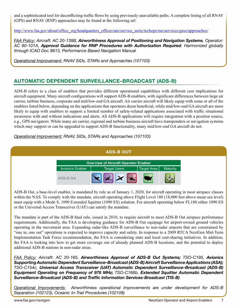
ADS-B OUT
ADS-B Out, a base-level enabler, is mandated by rule as of January 1, 2020, for aircraft operating in most airspace classes within the NAS. To comply with the mandate, aircraft operating above Flight Level 180 (18,000 feet above mean sea level) must equip with a Mode S, 1090 Extended Squitter (1090 ES) solution. For aircraft operating below FL180 either 1090 ES or the Universal Access Transceiver (UAT) can satisfy the mandate.
The mandate is part of the ADS-B final rule, issued in 2010, to require aircraft to meet ADS-B Out airspace performance requirements. Additionally, the FAA is developing guidance for ADS-B Out equipage for airport-owned ground vehicles operating in the movement area. Expanding radar-like ADS-B surveillance to non-radar airports that are constrained by “one in, one out” operations is expected to improve capacity and safety. In response to a 2009 RTCA NextGen Mid-Term Implementation Task Force recommendation, the FAA is considering state and local cost-sharing initiatives. In addition, the FAA is looking into how to get more coverage out of already planned ADS-B locations, and the potential to deploy additional ADS-B stations in non-radar areas.
FAA Policy: Aircraft: AC 20-165, Airworthiness Approval of ADS-B Out Systems; TSO-C195, Avionics Supporting Automatic Dependent Surveillance–Broadcast (ADS-B) Aircraft Surveillance Applications (ASA); TSO-C154c, Universal Access Transceiver (UAT) Automatic Dependent Surveillance–Broadcast (ADS-B) Equipment Operating on Frequency of 978 MHz; TSO-C166b, Extended Squitter Automatic Dependent Surveillance–Broadcast (ADS-B) and Traffic Information Services-Broadcast (TIS-B)
Operational Improvements: Airworthiness operational improvements are under development for ADS-B Separation (102123), Oceanic In-Trail Procedures (102108)

8 NextGen Operator and Airport Enablers www.faa.gov/nextgen
Overview of Aircraft Operator EnablerAvionics Enabler Target Users Target Area Maturity
Airborne/Ground CDTI (ADS-B In)
ADS-B IN
The ability of an aircraft to receive ADS-B data and display these data for use onboard the aircraft is referred to as ADS-B In. It enables an operational advantage to operators who choose to upgrade their aircraft beyond the basic mandate of the ADS-B rule. ADS-B In is viewed as a significant advantage that may provide efficiencies in airborne operations and on the surface.
Airborne Cockpit Display of Traffic Information (CDTI)
This ADS-B In enabler provides a graphic display of the relative position of aircraft and suitably equipped surface vehicles, mainly on a moving map display. The information that is presented is then used by the pilot to increase situational awareness or to take operational advantage for other defined ADS-B operations.
The ADS-B In ARC has recommended that the FAA develop clearly defined regulations, certifications and detailed specifications for ADS-B In applications in order to reduce uncertainty and risk to acceptable levels. The ADS-B In ARC stated that it does not support an ADS-B In mandate at this time. However, it supports the voluntary deployment of ADS-B In capabilities in the NAS as a near-term option. Accordingly, it recommends that the FAA clearly demonstrate that equipage benefits are both achievable and operationally implementable in a cost-effective manner, including operations in a mixed-equipage environment.
In addition, after a careful review of ADS–B In delegated separation applications, the ARC recommended that the FAA classify the majority of ADS–B In applications previously classified as “delegated separation” using the alternative concept of a “defined interval.” Under a defined-interval task, an air traffic controller maintains separation responsibility while assigning pilots a spacing task that must be performed within defined boundaries. The ARC believes this will enable a range of applications where dynamic interval spacing closer than that currently allowed by traditional radar separation standards may be possible. The ARC also provided the FAA with a phased rollout plan for a transition to full-fledged defined interval operations within the NAS.
Most ADS-B applications identified by the ADS-B In ARC are already part of the FAA’s NextGen planning, and are described below. The ones not yet included are subject to an ongoing evaluation by the FAA.
Enhanced Visual Acquisition (EVAcq)The Cockpit Display of Traffic Information (CDTI) provides traffic information to help the flight crew acquire traffic visually, out the window. The CDTI can be used to acquire traffic initially or as a supplement to other sources of traffic information. This application is expected to improve both safety and efficiency by providing the flight crew enhanced traffic awareness. Refer to RTCA DO-289.
Basic Airborne Situational Awareness (AIRB)The CDTI also provides traffic situational awareness beyond visual range. We expect this application to improve safety and efficiency by providing enhanced traffic awareness to the flight crew. Refer to RTCA DO-319/EUROCAE ED-164, which modifies one aspect of the operational concept described in DO-319/ED-164 as the Aircraft Surveillance Application Minimum Operational Performance Standards version of the AIRB application allows for display of ground traffic including own ship.
Visual Separation on Approach (VSA)The CDTI is used to help the flight crew acquire and maintain visual contact during visual separation on approach. The CDTI is also used in conjunction with visual, out-the-window contact to follow the preceding aircraft during the approach. We expect the application to improve the safety and the performance of visual separation on approach. It may allow for the continuation of visual separation on approach when it otherwise would have to be suspended due to the difficulty of visually acquiring and tracking the preceding aircraft. Refer to RTCA DO-314/EUROCAE ED-160.

NextGen Operator and Airport Enablers 9
Overview of Aircraft Operator EnablerAvionics Enabler Target Users Target Area Maturity
Surface Indications/Alerts(ADS-B In)
Overview of Aircraft Operator EnablerAvionics Enabler Target Users Target Area Maturity
In-Trail Procedure(ADS-B In)
www.faa.gov/nextgen
Basic Surface Situation Awareness (SURF)In this application, the CDTI includes an airport surface map underlay and is used to help the flight crew make decisions about taxiing, takeoff and landing. This application is expected to increase efficiency of operations on the airport surface and reduce the possibility of runway incursions and ground collisions. Refer to RTCA DO-322/EUROCAE ED-165 as it modifies one aspect of the operational concept described in DO-322/ED-165. Integration of requirements for SURF, AIRB and VSA for traffic on approach does not support Closely Spaced Parallel Operations.
FAA Policy: Aircraft: TSO-C195, Avionics Supporting ADS-B Aircraft Surveillance Applications; AC 20-172, Airworthiness Approval for ADS-B In Systems and Applications. Planned for early 2012, TSO-C195a and AC 20-172A will include: EVAcq (GA ADS-B Traffic Display), AIRB (Part 25 Traffic Display), SURF (Display of Traffic over a depiction of airport surface), VSA (Visual Separation on Approach) and ITP (In-Trail Procedures). TSO-C195b is planned for late 2013 and should include TSAA (Traffic Situational Awareness with Alerts) and FIM (Flight Deck Interval Management)
Operational Improvements: Improved Runway Safety Situational Awareness for Pilots (103208), Provide Full Surface Situation Information (102406), Improved Runway Safety Situational Awareness for Pilots (103208), and Cockpit Display of Traffic Information (CDTI)/Traffic Service-Broadcast (TIS-B) for Surface (103208-12)
Enhanced Traffic Situational Awareness on the Airport Surface with Indication and Alerts (SURF IA)
The SURF IA application is designed to decrease the likelihood and severity of runway incursions and collisions on or near the airport surface by providing timely traffic and runway status indications and alerts. These indications and alerts improve the flight crew’s situational awareness of traffic on approach to and in the vicinity of active runways. SURF IA builds on the existing SURF application, which displays traffic on approach and on the surface over a depiction of the airport.
FAA Policy: AC and TSO material to be developed as a result of RTCA standard development currently scheduled for 2016
Operational Improvements: Improved Runway Safety Situational Awareness for Pilots (103208), Provide Full Surface Situation Information (102406), Improved Runway Safety Situational Awareness for Pilots (103208)
Oceanic In-Trail Procedure (ITP)
The objective of the ITP is to enable aircraft to achieve, on a reliable and more frequent basis, user-preferred flight level changes in what is currently procedural airspace, thus improving flight efficiency and safety. ITP permits a climb-through or descend-through maneuver between properly equipped aircraft, using a new ITP-enabled distance-based longitudinal separation minimum. It is initiated by the flight crew using criteria designed such that the in-trail minimum separation is not infringed upon during the maneuver. ADS-B ITP requires specific application-unique processing and display parameters. Refer to RTCA DO-312/EUROCAE ED-159 for a complete ITP description.
FAA Policy: Policy Memo; AC 20-172A, Airworthiness Approval for ADS-B In Systems and Applications; TSO-C195a, Avionics Supporting Automatic Dependent Surveillance-Broadcast Aircraft Surveillance Applications
Operational Improvement: ADS-B Oceanic In-Trail Procedure and Automation (102108-12)

10 NextGen Operator and Airport Enablers www.faa.gov/nextgen
Overview of Aircraft Operator EnablerAvionics Enabler Target Users Target Area Maturity
Interval Management(ADS-B In)
Overview of Aircraft Operator EnablerAvionics Enabler Target Users Target Area Maturity
Traffic Situational Awareness and Alerting (ADS-B In)
Overview of Aircraft Operator EnablerAvionics Enabler Target Users Target Area Maturity
Closely Spaced Parallel Operations(ADS-B In)
Interval Management
This ADS-B In enabler displays along-track (i.e., speed and/or distance) guidance, control and indications, and alerts derived from the information provided to achieve safe, sufficient spacing between aircraft and reduce the collision risk. Interval Management will reduce the use of ATC vectoring and speed control, which will in turn reduce ATC workload and reduce fuel burn. Furthermore, Interval Management will enable more efficient arrival, approach, and departure operations resulting in more efficient flight trajectories, better scheduling performance, and decreased environmental impacts.
FAA Policy: AC 20-172B planned in 2014 and TSO-C195b planned in 2014
Operational Improvements: Delegated Responsibility for In-Trail Separation (102118), Interval Management (104120-23)
Traffic Situational Awareness with Alerting (TSAA)
This ADS-B In enabler, aimed at general aviation, will improve situational awareness of other aircraft. Algorithms process ADS-B reports from airborne aircraft to provide pilots with an indication of potential conflict that is independent of traffic advisories provided from the Traffic Alert and Collision Avoidance System (TCAS). This capability may be extendable to rotorcraft operations.
FAA Policy: AC 20-172B and TSO-C195b planned for 2014
Operational Improvement: Improved Runway Safety Situational Awareness for Pilots (103208)
Closely Spaced Parallel Operation
This future ADS-B In enabler will be designed to provide for operations in which two or more aircraft are on a dependent or independent approach to runways with spacing less than 4300 feet. We assume that these operations will be in areas and at airports where TCAS alerts and resolutions are ineffective, or where restricted relative geometry may be required for wake avoidance. Using ADS-B cockpit tools, Closely Spaced Parallel Operations may allow airport acceptance rates closer to Visual Meteorological Conditions (VMC) during certain Instrument Meteorological Conditions (IMC), thus substantially enhancing capacity and efficiency of airport arrival operations.
FAA Policy: AC and TSO material planned in 2017.
Operational Improvement: Improve Parallel Runway Operations (102141)

NextGen Operator and Airport Enablers 11
Overview of Aircraft Operator EnablerAvionics Enabler Target Users Target Area Maturity
FANS 1/A (Satellite Communications)
Overview of Aircraft Operator EnablerAvionics Enabler Target Users Target Area Maturity
FANS 1/A+ (VDL mode 2)
www.faa.gov/nextgen
DATA COMMUNICATIONS (DATA COMM)
Air Traffic Control Data Communications (Data Comm) allows a two-way exchange of digital information between air navigation service providers and the flight crew. This capability has been used in oceanic airspace and will be implemented in the NAS. Data Comm allows some communications to move off the voice channel and provides a record that can be verified, reducing communication errors. It also allows increased air traffic efficiency by reducing the time spent on routine tasks, such as transfer of communications. When it is integrated with the navigation system in the aircraft, Data Comm can enable new and more complex information to be exchanged automatically, such as more specific or frequent position reporting in oceanic airspace or clearances containing multiple fixes/waypoints.
FUTURE AIR NAVIGATION SySTEM (FANS) 1/A OVER SATELLITE COMMUNICATION
FANS 1/A builds on initial capabilities, leveraging FMS integration, advanced applications and use of Next Generation Satellite Systems in oceanic airspace.
FAA Policy: Aircraft: AC 20-140A, Guidelines for Design Approval of Aircraft Data Communications Systems. Operator: AC 120-70B, Operational Authorization Process for Use of Data Link Communication System, TSO-C159a Avionics Supporting Next Generation Satellite Systems (NGSS)—TSO-C159b for Inmarsat Swift-Broadband planned for 2013
Operational Improvements: Oceanic In-Trail Climb and Descent (102108), Use Optimized Profile Descents (104124)
FANS 1/A+ OVER VhF DIGITAL LINk MODE 2 (VDL-2)
This enabler builds on the pre-existing FANS-1/A capabilities, adapting them for domestic operations. Messages are sent over a line-of-sight VHF network (using VDL-2). Equipped aircraft can receive departure clearances and airborne clearances.
FAA Policy: Aircraft: AC 20-140C, Guidelines for Design Approval of Aircraft Data Communications Systems, update in 2014. Operator: AC 120-70B, Operational Authorization Process for Use of Data Link Communication System; TSO-160a, VDL Mode 2 Communication Equipment, expected in 2012
Operational Improvements: Enhanced Surface Traffic Operations (104207), Use Optimized Profile Descents (104124), Revised Departure Clearance via Data Comm (104207-11)
12 NextGen Operator and Airport Enablers www.faa.gov/nextgen
Overview of Aircraft Operator EnablerAvionics Enabler Target Users Target Area Maturity
ATN Baseline 2
Overview of Aircraft Operator EnablerAvionics Enabler Target Users Target Area Maturity
HUD/ILS
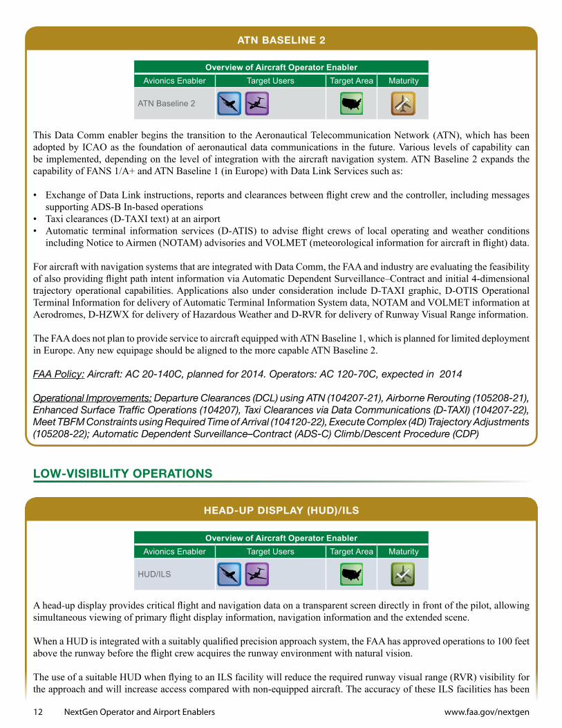
ATN BASELINE 2
This Data Comm enabler begins the transition to the Aeronautical Telecommunication Network (ATN), which has been adopted by ICAO as the foundation of aeronautical data communications in the future. Various levels of capability can be implemented, depending on the level of integration with the aircraft navigation system. ATN Baseline 2 expands the capability of FANS 1/A+ and ATN Baseline 1 (in Europe) with Data Link Services such as:
• Exchange of Data Link instructions, reports and clearances between flight crew and the controller, including messages supporting ADS-B In-based operations
• Taxi clearances (D-TAXI text) at an airport• Automatic terminal information services (D-ATIS) to advise flight crews of local operating and weather conditions
including Notice to Airmen (NOTAM) advisories and VOLMET (meteorological information for aircraft in flight) data.
For aircraft with navigation systems that are integrated with Data Comm, the FAA and industry are evaluating the feasibility of also providing flight path intent information via Automatic Dependent Surveillance–Contract and initial 4-dimensional trajectory operational capabilities. Applications also under consideration include D-TAXI graphic, D-OTIS Operational Terminal Information for delivery of Automatic Terminal Information System data, NOTAM and VOLMET information at Aerodromes, D-HZWX for delivery of Hazardous Weather and D-RVR for delivery of Runway Visual Range information.
The FAA does not plan to provide service to aircraft equipped with ATN Baseline 1, which is planned for limited deployment in Europe. Any new equipage should be aligned to the more capable ATN Baseline 2.
FAA Policy: Aircraft: AC 20-140C, planned for 2014. Operators: AC 120-70C, expected in 2014
Operational Improvements: Departure Clearances (DCL) using ATN (104207-21), Airborne Rerouting (105208-21), Enhanced Surface Traffic Operations (104207), Taxi Clearances via Data Communications (D-TAXI) (104207-22), Meet TBFM Constraints using Required Time of Arrival (104120-22), Execute Complex (4D) Trajectory Adjustments (105208-22); Automatic Dependent Surveillance–Contract (ADS-C) Climb/Descent Procedure (CDP)
LOw-VISIBILITy OPERATIONS
hEAD-UP DISPLAy (hUD)/ILS
A head-up display provides critical flight and navigation data on a transparent screen directly in front of the pilot, allowing simultaneous viewing of primary flight display information, navigation information and the extended scene.
When a HUD is integrated with a suitably qualified precision approach system, the FAA has approved operations to 100 feet above the runway before the flight crew acquires the runway environment with natural vision.
The use of a suitable HUD when flying to an ILS facility will reduce the required runway visual range (RVR) visibility for the approach and will increase access compared with non-equipped aircraft. The accuracy of these ILS facilities has been
NextGen Operator and Airport Enablers 13 www.faa.gov/nextgen
verified for this type of operation. In addition, the airport must have the equipment to measure and report the current RVR visibility. The FAA is increasing the number of airports with RVR to expand this capability.
FAA Policy: Operators: AC 120-29A, Criteria for Approval of Category I and Category II Weather Minima for Approach; AC 120-28D, Criteria for Approval of Category III Weather Minima for Takeoff, Landing and Roll Out; Order 8400.13D, Procedures for the Evaluation and Approval of Facilities for Special Authorization Category I Operations and all Category II and III Operations
Operational Improvement: Expanded Low-Visibility Operations Using Lower RVR Minima (107119)
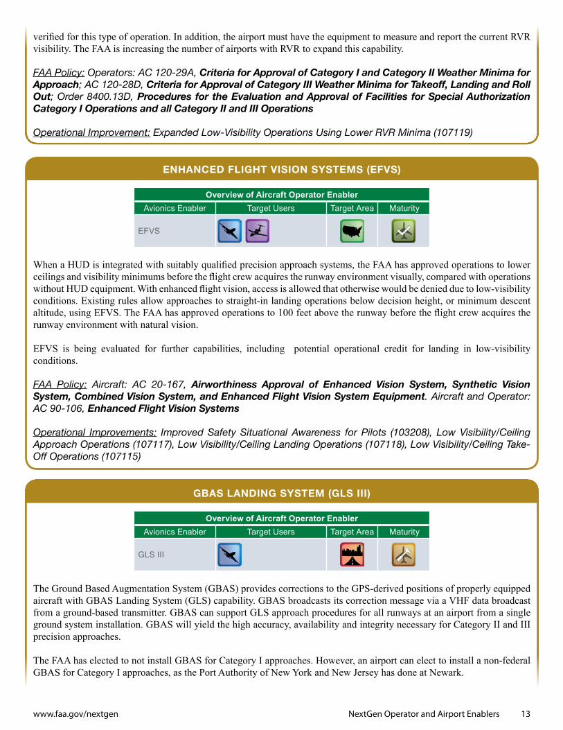
ENhANCED FLIGhT VISION SySTEMS (EFVS)
When a HUD is integrated with suitably qualified precision approach systems, the FAA has approved operations to lower ceilings and visibility minimums before the flight crew acquires the runway environment visually, compared with operations without HUD equipment. With enhanced flight vision, access is allowed that otherwise would be denied due to low-visibility conditions. Existing rules allow approaches to straight-in landing operations below decision height, or minimum descent altitude, using EFVS. The FAA has approved operations to 100 feet above the runway before the flight crew acquires the runway environment with natural vision.
EFVS is being evaluated for further capabilities, including potential operational credit for landing in low-visibility conditions.
FAA Policy: Aircraft: AC 20-167, Airworthiness Approval of Enhanced Vision System, Synthetic Vision System, Combined Vision System, and Enhanced Flight Vision System Equipment. Aircraft and Operator: AC 90-106, Enhanced Flight Vision Systems
Operational Improvements: Improved Safety Situational Awareness for Pilots (103208), Low Visibility/Ceiling Approach Operations (107117), Low Visibility/Ceiling Landing Operations (107118), Low Visibility/Ceiling Take-Off Operations (107115)
GBAS LANDING SySTEM (GLS III)
The Ground Based Augmentation System (GBAS) provides corrections to the GPS-derived positions of properly equipped aircraft with GBAS Landing System (GLS) capability. GBAS broadcasts its correction message via a VHF data broadcast from a ground-based transmitter. GBAS can support GLS approach procedures for all runways at an airport from a single ground system installation. GBAS will yield the high accuracy, availability and integrity necessary for Category II and III precision approaches.
The FAA has elected to not install GBAS for Category I approaches. However, an airport can elect to install a non-federal GBAS for Category I approaches, as the Port Authority of New York and New Jersey has done at Newark.
Overview of Aircraft Operator EnablerAvionics Enabler Target Users Target Area Maturity
EFVS
Overview of Aircraft Operator EnablerAvionics Enabler Target Users Target Area Maturity
GLS III

14 NextGen Operator and Airport Enablers www.faa.gov/nextgen
The FAA, along with the international aviation community, is pursuing further development and validation of GBAS for Category II and III approaches. System validation, including end-to-end system performance demonstration, is expected in 2014. This activity supports the ICAO baseline development standard and the subsequent inclusion of standards in Annex 10.
FAA Policy: Aircraft: Project-specific policy, 2014
Operational Improvement: Ground Based Augmentation System Precision Approaches (107107)
AVIONICS SAFETy ENhANCEMENTS
FLIGhT INFORMATION SERVICES–BROADCAST (FIS-B)
FIS-B provides ground-derived weather data and real-time NAS status information to aircraft equipped with UAT and appropriate displays. These data are primarily intended to improve safety of operations for general aviation aircraft and are provided over the same UAT signals used for ADS-B.
FAA Policy: Aircraft: TSO-C157a, Aircraft Flight Information Services Broadcast (FIS-B) Data Link Systems and Equipment; TSO-C154c, Universal Access Transceiver (UAT) Automatic Dependent Surveillance–Broadcast (ADS-B) Equipment Operating on Frequency of 978 MHz; AC 20-149A, FIS-B Installation (2012); TSO-C157b, FIS-B Data Link Systems and Equipment (expected in 2012)
Operational Improvement: On-Demand NAS Information (103305)
ENGINE AND FUEL TEChNOLOGIES
ENGINE EFFICIENCIES
The Continuous Lower Energy, Emissions and Noise technologies program accelerates the development of aircraft and engine technologies to reduce fuel consumption, noise, and emissions adversely affecting air quality and climate.
Some technologies may be retrofitted into existing aircraft to speed technology insertion, while others, such as the high-bypass-ratio geared turbofan and open rotor engines, would only be expected on future generations of aircraft.
FAA Policy: Technology Available for Aircraft Design.
Operational Improvements: Implement NextGen Environmental Engine and Aircraft Technologies (109315), Increased Use of Alternative Aviation Fuels (109316)
Overview of Aircraft Operator EnablerAvionics Enabler Target Users Target Area Maturity
FIS-B
Overview of Aircraft Operator EnablerEnabler Target Users Target Area Maturity
Engine Efficiencies
NextGen Operator and Airport Enablers 15 www.faa.gov/nextgen
DROP-IN RENEwABLE JET FUEL
Drop-in alternative jet fuels are being developed by industry and are being qualified and certified by ASTM International for commercial jet use. As drop-ins, these fuels mimic petroleum jet fuel to avoid aircraft and engine modification and to speed adoption into existing fleets. These alternative jet fuels will reduce greenhouse gas and air pollutant emissions, while providing economic stability and energy security.
FAA Policy: Modified ASTM Specification
Operational Improvements: Implement NextGen Environmental Engine and Aircraft Technologies (109315), Increased Use of Alternative Aviation Fuels (109316)
AIRPORT ENhANCEMENTS
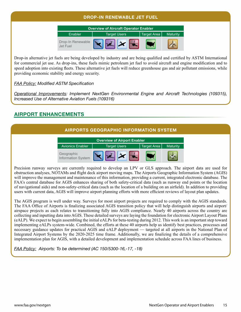
AIRPORTS GEOGRAPhIC INFORMATION SySTEM
Precision runway surveys are currently required to develop an LPV or GLS approach. The airport data are used for obstruction analyses, NOTAMs and flight deck airport moving maps. The Airports Geographic Information System (AGIS) will improve the management and maintenance of this information, providing a current, integrated electronic database. The FAA’s central database for AGIS enhances sharing of both safety-critical data (such as runway end points or the location of navigational aids) and non-safety-critical data (such as the location of a building on an airfield). In addition to providing users with current data, AGIS will improve airport planning efforts with more efficient reviews of layout plan updates.
The AGIS program is well under way. Surveys for most airport projects are required to comply with the AGIS standards. The FAA Office of Airports is finalizing associated AGIS transition policy that will help distinguish airports and airport/airspace projects as each relates to transitioning fully into AGIS compliance. Nearly 40 airports across the country are collecting and inputting data into AGIS. These detailed surveys are laying the foundation for electronic Airport Layout Plans (eALP). We expect to begin assembling the initial eALPs for beta-testing during 2012. This work is an important step toward implementing eALPs system-wide. Combined, the efforts at these 40 airports help us identify best practices, processes and necessary guidance updates for practical AGIS and eALP deployment — targeted at all airports in the National Plan of Integrated Airport Systems by the 2020-2025 time frame. Additionally, we are finalizing the details of a comprehensive implementation plan for AGIS, with a detailed development and implementation schedule across FAA lines of business.
FAA Policy: Airports: To be determined (AC 150/5300-16,-17, -18)
Overview of Aircraft Operator EnablerEnabler Target Users Target Area Maturity
Drop-In Renewable Jet Fuel
Overview of Airport EnablerAvionics Enabler Target Users Target Area Maturity
Geographic Information System

16 NextGen Operator and Airport Enablers www.faa.gov/nextgen
ADS-B FOR SURFACE VEhICLES
At airports with surface surveillance systems using ADS-B, airports may equip ground vehicles with ADS-B Out technology to track vehicles for surface management. Due to frequency congestion risks, only vehicles that enter the movement area may be equipped with the same technology as aircraft. FAA Policy: Airports: AC 150/5220-26, Airport Ground Vehicle Automatic Dependent Surveillance–Broadcast (ADS-B) Out Squitter Equipment
Operational Improvements: Improved Runway Safety Situational Awareness for Controllers (103207), Improved Runway Safety Situational Awareness for Pilots (103208), Situational Awareness and Alerting of Ground Vehicles (102406-21)
Overview of Airport EnablerAvionics Enabler Target Users Target Area Maturity
ADS-B for Surface Vehicles
Airport rescue firefighting equipment, snowplows,
inspection trucks