oecd spine project brochure
DESCRIPTION
Spatial Planning INstruments and the Environment. The SPINE project aims to assess the environmental and economic effectiveness of spatial and land-use planning instruments, as well as the potential gains from relevant policy reforms. Based on refined geospatial data and a wide array of analytical and empirical methods, the project will shed light on the effects of land-use patterns and spatial-planning instruments on economic development, public finance and the environment.TRANSCRIPT
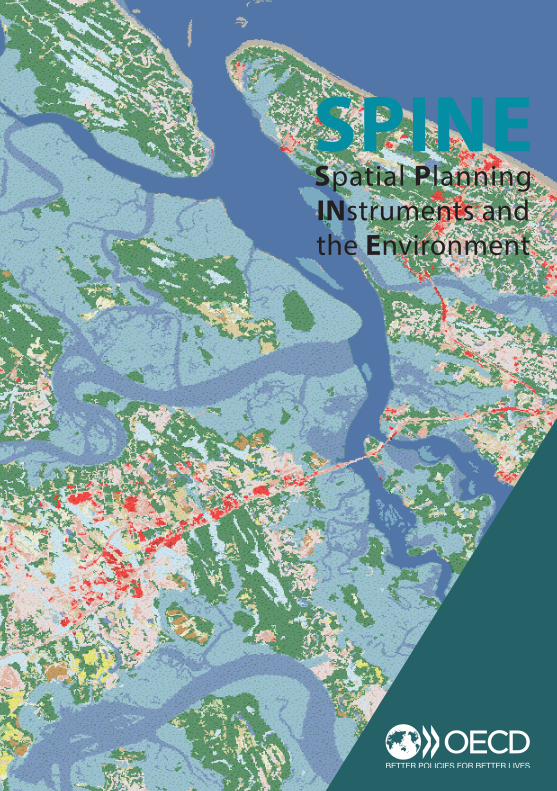
SPINE Spatial Planning INstruments and the Environment
SPINE Spatial Planning INstruments and the Environment
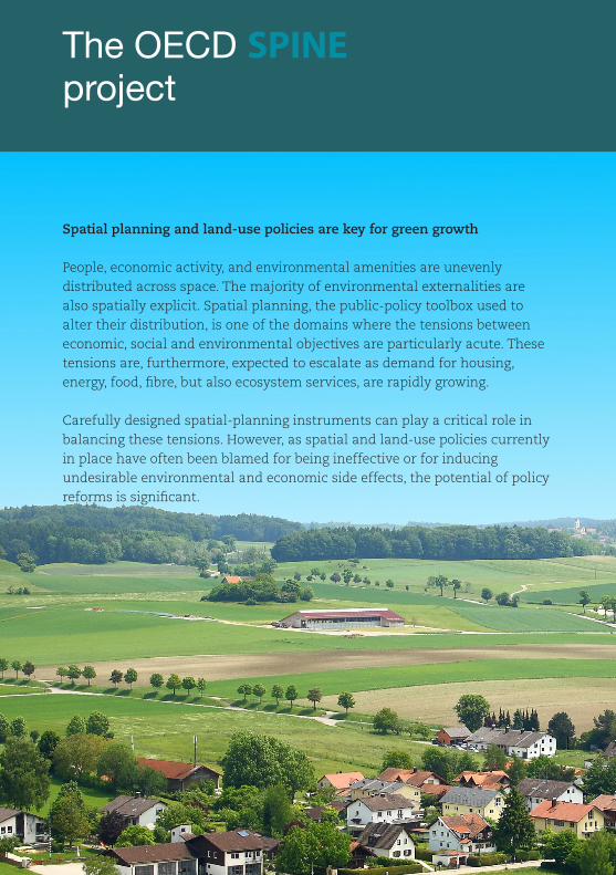
Spatial planning and land-use policies are key for green growth
People, economic activity, and environmental amenities are unevenly distributed across space. The majority of environmental externalities are also spatially explicit. Spatial planning, the public-policy toolbox used to alter their distribution, is one of the domains where the tensions between economic, social and environmental objectives are particularly acute. These tensions are, furthermore, expected to escalate as demand for housing, energy, food, fibre, but also ecosystem services, are rapidly growing.
Carefully designed spatial-planning instruments can play a critical role in balancing these tensions. However, as spatial and land-use policies currently in place have often been blamed for being ineffective or for inducing undesirable environmental and economic side effects, the potential of policy reforms is significant.
The OECD SPINE project
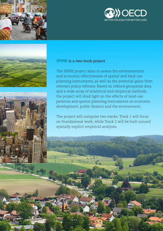
SPINE is a two-track project
The SPINE project aims to assess the environmental and economic effectiveness of spatial and land-use planning instruments, as well as the potential gains from relevant policy reforms. Based on refined geospatial data and a wide array of analytical and empirical methods, the project will shed light on the effects of land-use patterns and spatial-planning instruments on economic development, public finance and the environment.
The project will comprise two tracks: Track 1 will focus on foundational work, while Track 2 will be built around spatially explicit empirical analyses.
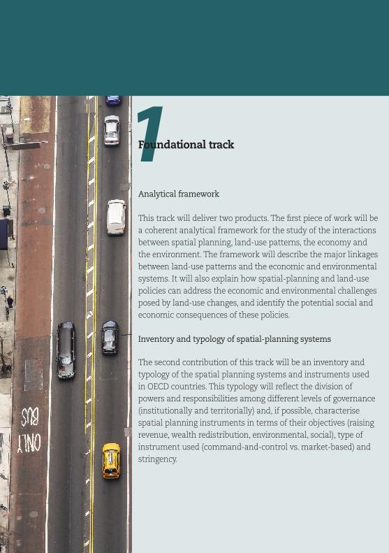
1Foundational track
Analytical framework
This track will deliver two products. The first piece of work will be a coherent analytical framework for the study of the interactions between spatial planning, land-use patterns, the economy and the environment. The framework will describe the major linkages between land-use patterns and the economic and environmental systems. It will also explain how spatial-planning and land-use policies can address the economic and environmental challenges posed by land-use changes, and identify the potential social and economic consequences of these policies.
Inventory and typology of spatial-planning systems
The second contribution of this track will be an inventory and typology of the spatial planning systems and instruments used in OECD countries. This typology will reflect the division of powers and responsibilities among different levels of governance (institutionally and territorially) and, if possible, characterise spatial planning instruments in terms of their objectives (raising revenue, wealth redistribution, environmental, social), type of instrument used (command-and-control vs. market-based) and stringency.
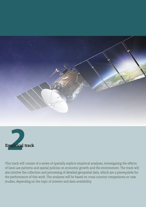
This track will consist of a series of spatially explicit empirical analyses, investigating the effects of land-use patterns and spatial policies on economic growth and the environment. The track will also involve the collection and processing of detailed geospatial data, which are a prerequisite for the performance of this work. The analyses will be based on cross-country comparisons or case studies, depending on the topic of interest and data availability.
2Empirical track

Thematic areas
The thematic areas below have been identified as potentially
interesting topics for empirical work undertaken in the context of
SPINE. For each thematic area, a brief summary of the objectives
of the analysis and the expected policy implications is provided.
1. Urban patterns, CO2 emissions and spatial-planning instruments
Descriptive analyses of land-use patterns in OECD countries
will shed light on the relationship between urban patterns, CO2
emissions and the use of specific spatial-policy instruments. The
role of the division of power and planning competences among
different levels of government on land-use patterns and CO2
emissions will also be investigated.
2. Effects of urban structure on human exposure to
local air pollution
This analysis will investigate the effects of urban structure
on local concentrations of various air pollutants and the
corresponding human exposure. It will highlight land-use and
transport policy reforms to address local air-pollution problems.
3. Effects of open-space conservation on urban development
and local public finance
This area will focus on the effects of open-space conservation
on housing prices, development density, tax base, and total land
values. It will describe the implications of the identified effects for
local public finance and spatial and land-use policy.
The project will
highlight land-use
and transport-
policy reforms
which could be
implemented to
address local air-
pollution problems.
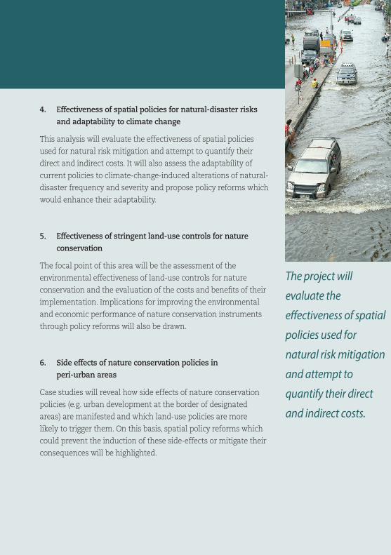
4. Effectiveness of spatial policies for natural-disaster risks
and adaptability to climate change
This analysis will evaluate the effectiveness of spatial policies
used for natural risk mitigation and attempt to quantify their
direct and indirect costs. It will also assess the adaptability of
current policies to climate-change-induced alterations of natural-
disaster frequency and severity and propose policy reforms which
would enhance their adaptability.
5. Effectiveness of stringent land-use controls for nature
conservation
The focal point of this area will be the assessment of the
environmental effectiveness of land-use controls for nature
conservation and the evaluation of the costs and benefits of their
implementation. Implications for improving the environmental
and economic performance of nature conservation instruments
through policy reforms will also be drawn.
6. Side effects of nature conservation policies in
peri-urban areas
Case studies will reveal how side effects of nature conservation
policies (e.g. urban development at the border of designated
areas) are manifested and which land-use policies are more
likely to trigger them. On this basis, spatial policy reforms which
could prevent the induction of these side-effects or mitigate their
consequences will be highlighted.
The project will
evaluate the
effectiveness of spatial
policies used for
natural risk mitigation
and attempt to
quantify their direct
and indirect costs.
More information
Walid Oueslati
Team Leader Empirical Policy Analysis
Email:
www.oecd.org/environment/tools-evaluation/
SPINE Spatial Planning INstruments and the Environment
Photos© diamant24/Shutterstock.com
© Jimmy Tran/Shutterstock.com
© lmeleca (Leonid Meleca)/Shutterstock.com
© De Visu/Shutterstock.com
© Andreiorlov | Dreamstime.com
© Maciej Bledowski | Dreamstime.com