osgeo web mapping typification: geomajas, mapbender...
TRANSCRIPT

OSGeo Web Mapping Typification:GeoMajas, Mapbender, MapFish and OpenLayers
Christoph Baudson
Arnulf Christl
FOSS4G 2010 – Barcelona

A web mapping typification – Christoph Baudson, Arnulf Christl 2 / 46
DisclaimerAll information contained in this presentation has been compiled to the best of our knowledge and presents an adhoc snapshot of current state of the art web mapping client frameworks and portals.
Christoph Baudson and Arnulf Christl are deeply involved in developing the Mapbender project since many years.
For further information and help on how to select the best option for your needs ask your consultant and service provider.
A web mapping typification – Christoph Baudson, Arnulf Christl 3 / 46
Introduction
This presentation differentiates four of the web mapping projects of OSGeo. They can be roughly split into four categories although there is a lot of overlap.
● GeoMajas is a self contained, ful fledged WebGIS● OpenLayers is a JavaScript client library● Mapbender is a geoportal management software● MapFish is a web mapping developer framework
All projects have server side components except for OpenLayers. Both MapFish and Mapbender integrate OpenLayers as viewer.
A web mapping typification – Christoph Baudson, Arnulf Christl 4 / 46
On Diversity
We all know the term in the context of biodiversity. Monocultures (the opposite of diversity) are well known to be associated with all kinds of problems and issues. Therefore OSGeo strives for diversity in it's projects.
Diversity comes with competition, which is sometimes good and sometimes also has a negative touch. To better understand how the Open Source community works competition is best mixed with cooperation to form the new word coopetition – which can be a great motivation for folks.
A web mapping typification – Christoph Baudson, Arnulf Christl 5 / 46
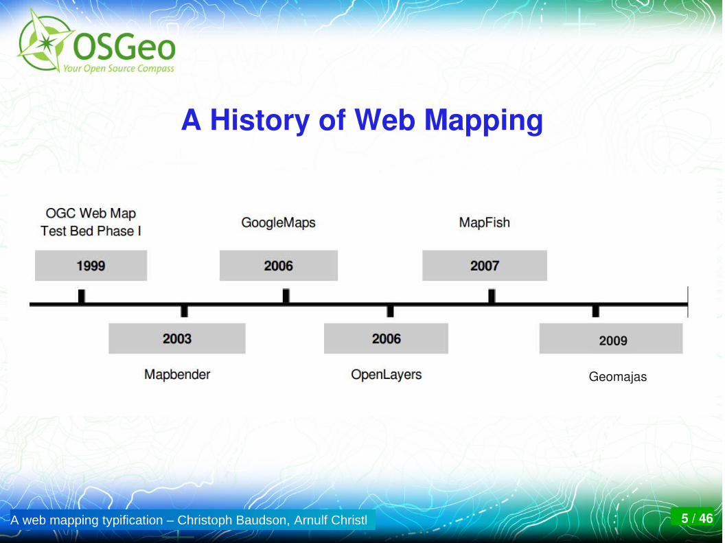
A History of Web Mapping
Geomajas
2009
A web mapping typification – Christoph Baudson, Arnulf Christl 6 / 46
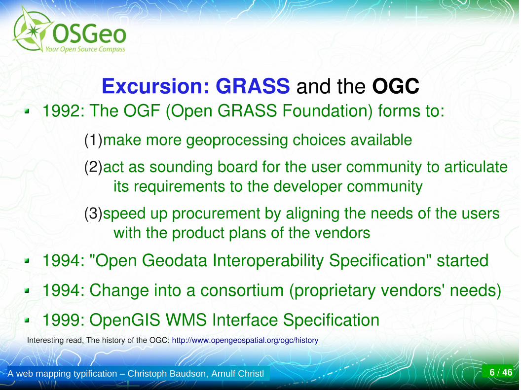
Excursion: GRASS and the OGC1992: The OGF (Open GRASS Foundation) forms to:
(1)make more geoprocessing choices available
(2)act as sounding board for the user community to articulate its requirements to the developer community
(3)speed up procurement by aligning the needs of the users with the product plans of the vendors
1994: "Open Geodata Interoperability Specification" started
1994: Change into a consortium (proprietary vendors' needs)
1999: OpenGIS WMS Interface SpecificationInteresting read, The history of the OGC: http://www.opengeospatial.org/ogc/history

A web mapping typification – Christoph Baudson, Arnulf Christl 7 / 46
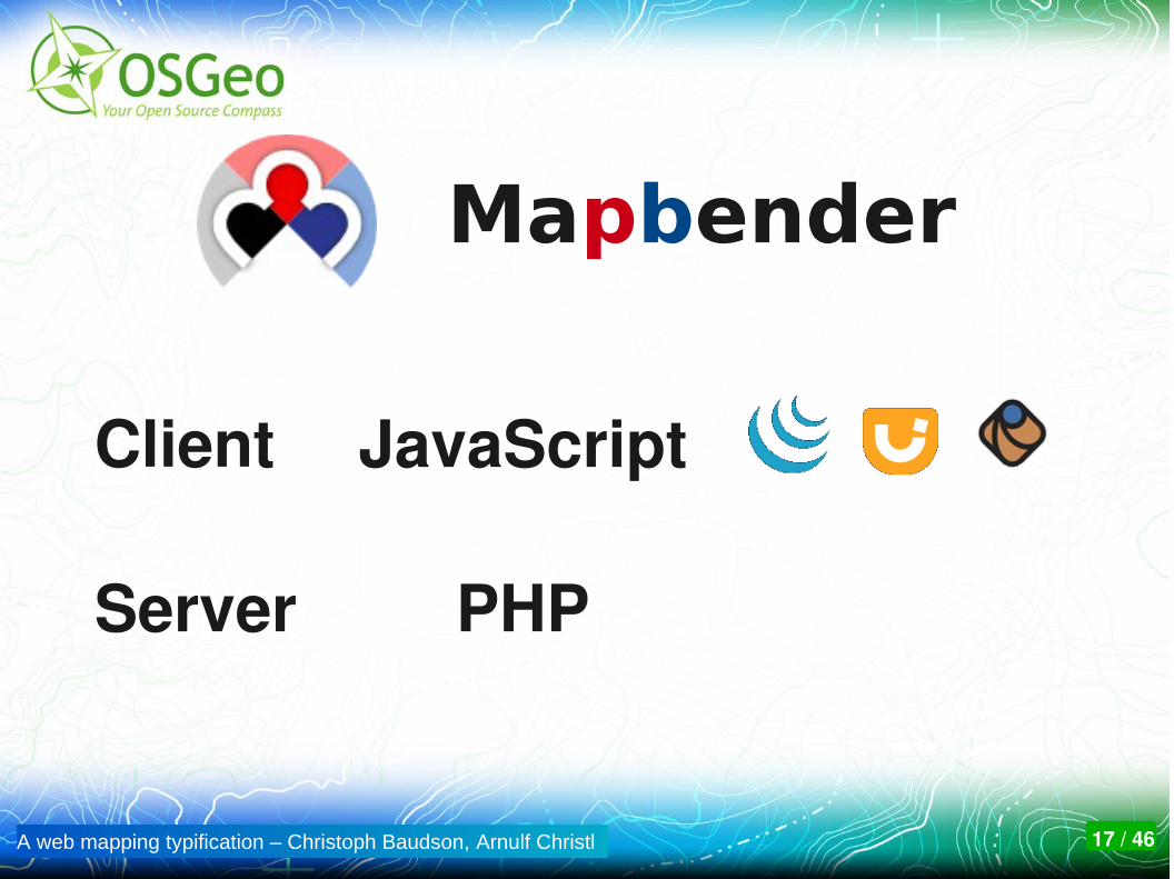
Mapbender1999: experimental Perl client for OGC WMT 1.0
2001: reimplementation in PHP, operational users
2003: Adoption of Open Source license and development
2006: OSGeo foundation project, Incubation passed.
2007: Introducing jQuerylibrary to Mapbender
2008: Modularization, first steps using OpenLayers
2009: Version 2.6 with lots of new features
2010: Version 3.0 reengineering with REST principles

A web mapping typification – Christoph Baudson, Arnulf Christl 8 / 46
Excursion: GoogleMaps2006: The tile is back. The long overcome legacy technology of pre tiled maps is back – with lots of accompanying noise. This technological regression is celebrated as the GIS Revolution. GIS professionals start to fear Google.
2007: "Mashup" becomes bullshit bingo winner at Where 2.0.
2008: All maps have become static and street maps.
2009: "Vounteered Geographic Information" (VGI) misunderstood as exploiting volunteers without giving back.
2010: OpenStreetMap is getting better than the Big Three.
A web mapping typification – Christoph Baudson, Arnulf Christl 9 / 46
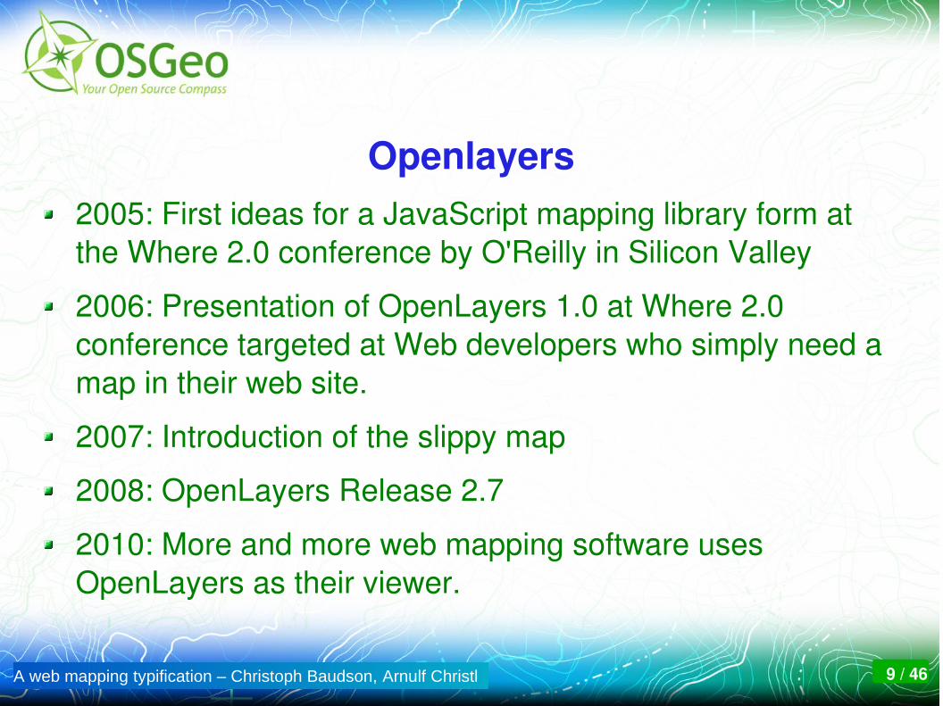
Openlayers2005: First ideas for a JavaScript mapping library form at the Where 2.0 conference by O'Reilly in Silicon Valley
2006: Presentation of OpenLayers 1.0 at Where 2.0 conference targeted at Web developers who simply need a map in their web site.
2007: Introduction of the slippy map
2008: OpenLayers Release 2.7
2010: More and more web mapping software uses OpenLayers as their viewer.

A web mapping typification – Christoph Baudson, Arnulf Christl 10 / 46
Geomajas
2006: The origin lies in geGIS (www.gegis.org) the result of a tender for the Flemish government and company DFC
2008: geGIS project ends. Start from Scratch as Geomajas.
2009: Folks from DFC found GeoSparc to support Geomajas
2010: Geosparc owns Geomajas IP
2010: Geomajas enters OSGeo Incubation. Support and use grows beyond th scope of the original developing company.

A web mapping typification – Christoph Baudson, Arnulf Christl 11 / 46
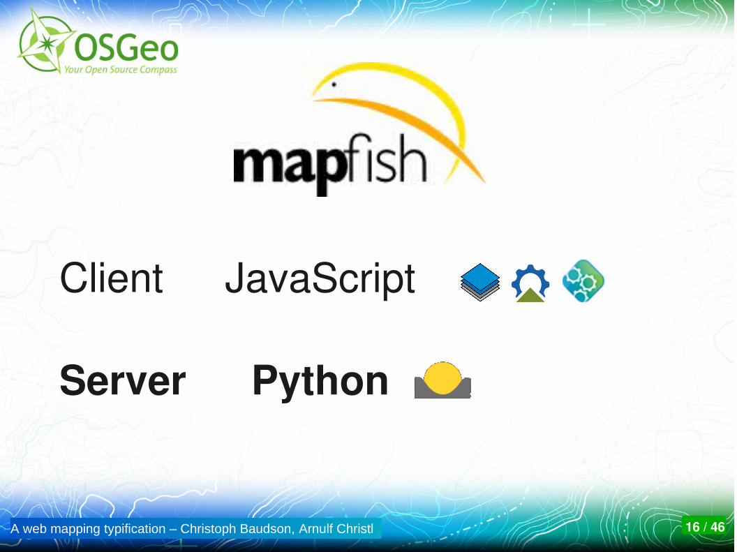
MapFish
MapFish is a new development initiated by camptocamp.
Prior art can be found in Cartoweb, MapBuilder, and others
2007: first source code available in an open repository
2008: the developer community grows beyond the initiator (company camptocamp)
2009: MapFish starts OSGeo Incubation
2010: Several large productive systems go online.

A web mapping typification – Christoph Baudson, Arnulf Christl 12 / 46
Excursion: on Tiling
Tiling pros and cons:
Tiles are a perfect fit for Internet technology.
Associated technology is very robust and scalable.
Every coordinate system and scale level needs it's own set of tiles: This makes data management a real issue.
Tiled maps are static.
Most servers are purposefully not standardized in an open and consensus based process

A web mapping typification – Christoph Baudson, Arnulf Christl 13 / 46
Functionality in all frameworks is very similar.
Let's take a look at...

A web mapping typification – Christoph Baudson, Arnulf Christl 14 / 46
… thesource code!

A web mapping typification – Christoph Baudson, Arnulf Christl 15 / 46
OpenLayers
Client
Server
JavaScript
A web mapping typification – Christoph Baudson, Arnulf Christl 16 / 46
Client
Server
JavaScript
Python
A web mapping typification – Christoph Baudson, Arnulf Christl 17 / 46
Client
Server
JavaScript
PHP
Mapbender

A web mapping typification – Christoph Baudson, Arnulf Christl 18 / 46
Client
Server
Java
Java
A web mapping typification – Christoph Baudson, Arnulf Christl 19 / 46
Client components
?

A web mapping typification – Christoph Baudson, Arnulf Christl 20 / 46
jQueryExt Core Core
Mapbender
A web mapping typification – Christoph Baudson, Arnulf Christl 21 / 46
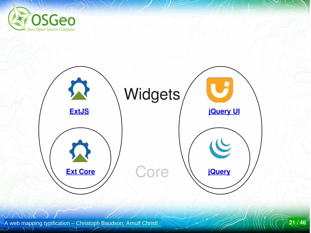
jQueryExt Core
Widgets
Core
jQuery UIExtJS

A web mapping typification – Christoph Baudson, Arnulf Christl 22 / 46
Widgets
Core
GeoGeoExt
MapbenderjQueryPlugins

A web mapping typification – Christoph Baudson, Arnulf Christl 23 / 46
Widgets
Core
GeoGeoExt
geojquery??

A web mapping typification – Christoph Baudson, Arnulf Christl 24 / 46
geojquery wants to bring the jQuery way of doing things to web mapping.

A web mapping typification – Christoph Baudson, Arnulf Christl 25 / 46
Mission: Implement a jQuery interface to OpenLayers, provide a rich set of UI widgets.
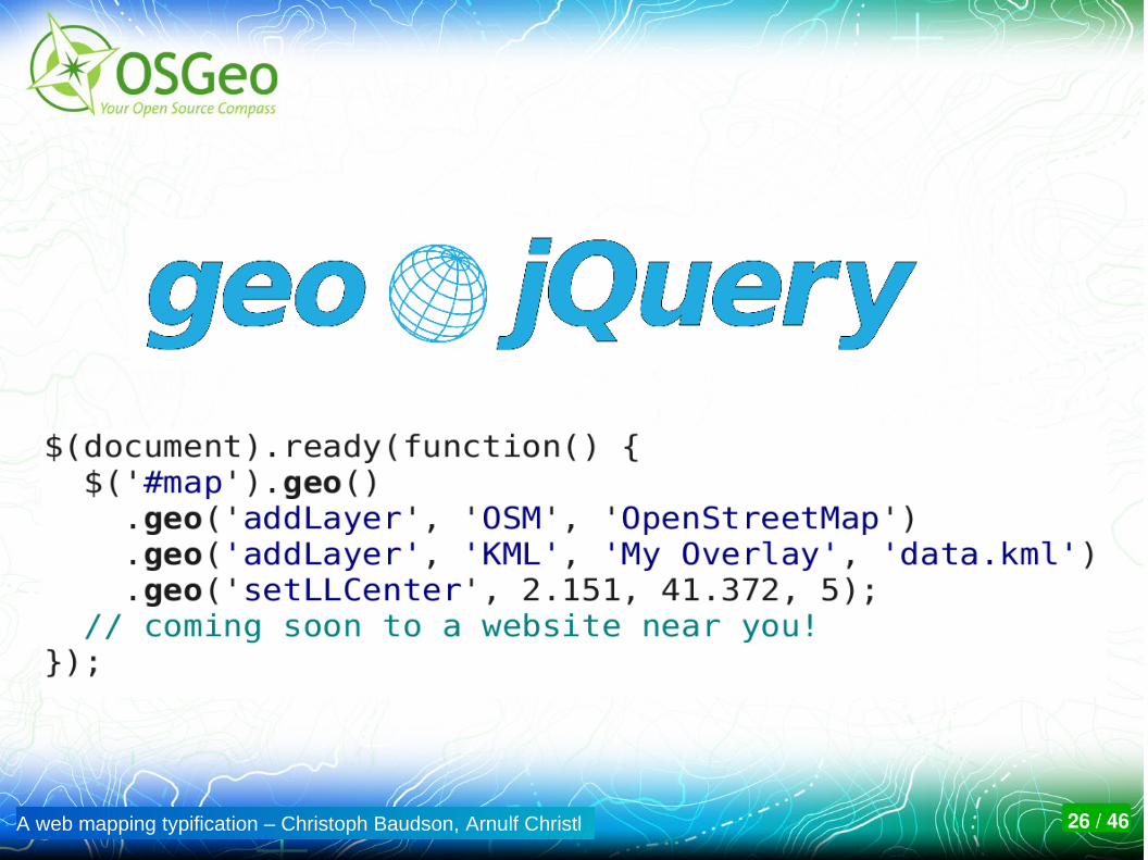
A web mapping typification – Christoph Baudson, Arnulf Christl 26 / 46

A web mapping typification – Christoph Baudson, Arnulf Christl 27 / 46
Not a GeoExt clone.
Write less, do more.

A web mapping typification – Christoph Baudson, Arnulf Christl 28 / 46
Join code sprint on Friday:
http://wiki.osgeo.org/wiki/FOSS4G_2010_Code_Sprint
A web mapping typification – Christoph Baudson, Arnulf Christl 29 / 46
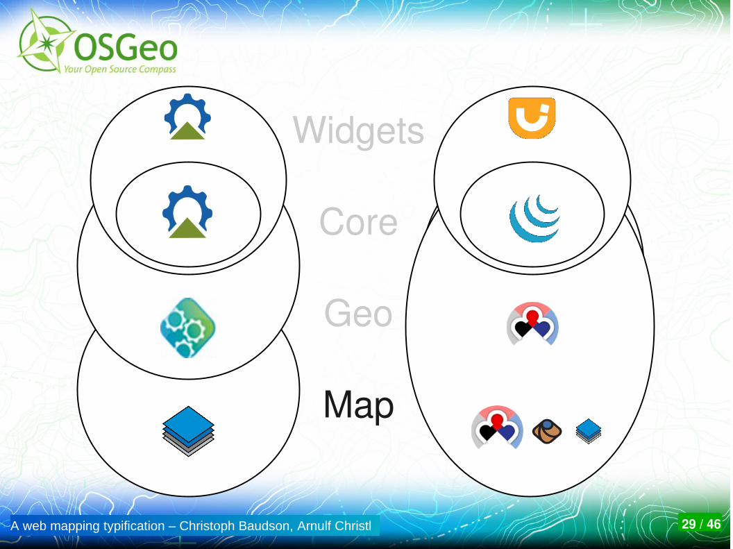
Widgets
Core
Geo
Map

A web mapping typification – Christoph Baudson, Arnulf Christl 30 / 46
ExtJS / jQuery – License
ExtJS: Dual ("Commercial" and GPLv3)
jQuery / jQuery UI: Dual (MIT and GPLv3)

A web mapping typification – Christoph Baudson, Arnulf Christl 31 / 46
ExtJS / jQuery – Copyright
ExtJS: Copyright lies with Ext JS, LLC
jQuery: Copyright lies with creator John Resig
jQuery und jQuery UI: Copyright lies with the team of the jQuery Project
Thoughts to transfer rights to the nonprofit organization Software Freedom Conservancy
A web mapping typification – Christoph Baudson, Arnulf Christl 32 / 46
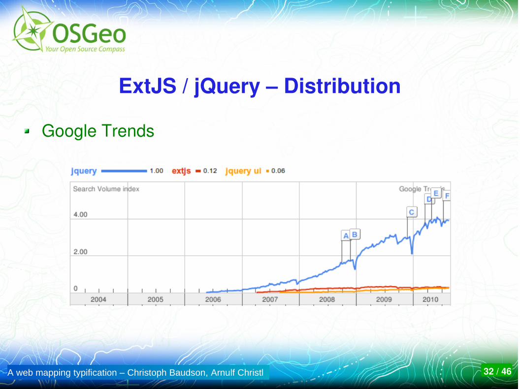
ExtJS / jQuery – Distribution
Google Trends

A web mapping typification – Christoph Baudson, Arnulf Christl 33 / 46
ExtJS / jQuery UI – Distribution
Google Trends

A web mapping typification – Christoph Baudson, Arnulf Christl 34 / 46
Client summary
OpenLayers does not compare to the others as it is limited to JavaScript and runs in the browser.
OpenLayers is an integral part of MapFish, which relies on GeoExt.
Mapbender can use OpenLayers and it's own WMS client with comprehensive layer and metadata management .
GeoMajas is self contained and comes with it's own client and server.
A web mapping typification – Christoph Baudson, Arnulf Christl 35 / 46
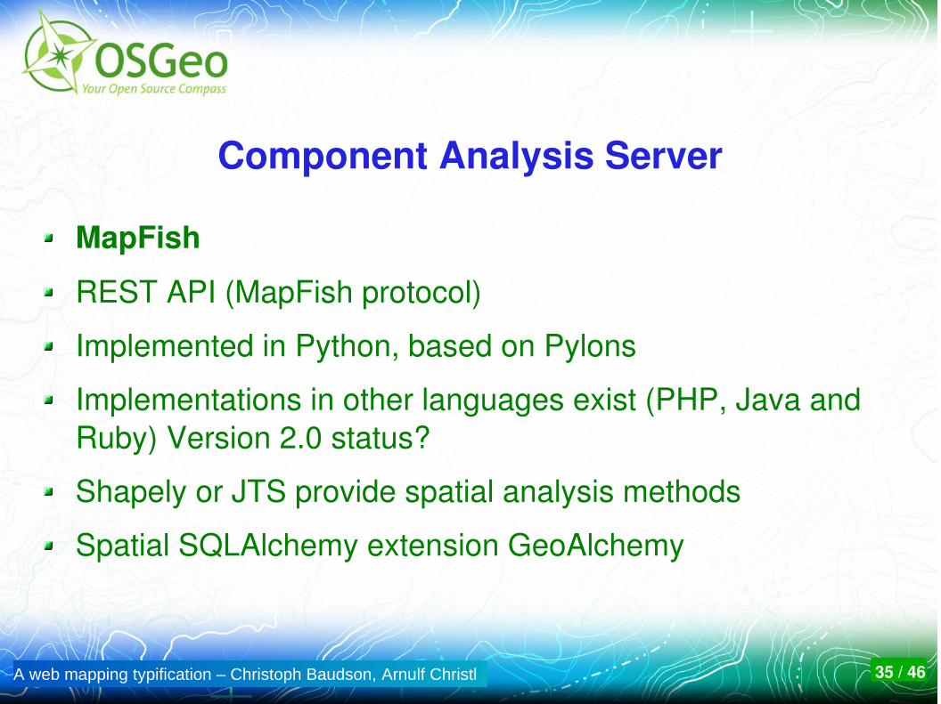
Component Analysis Server
MapFish
REST API (MapFish protocol)
Implemented in Python, based on Pylons
Implementations in other languages exist (PHP, Java and Ruby) Version 2.0 status?
Shapely or JTS provide spatial analysis methods
Spatial SQLAlchemy extension GeoAlchemy
A web mapping typification – Christoph Baudson, Arnulf Christl 36 / 46
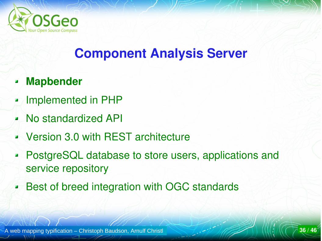
Component Analysis Server
Mapbender
Implemented in PHP
No standardized API
Version 3.0 with REST architecture
PostgreSQL database to store users, applications and service repository
Best of breed integration with OGC standards
A web mapping typification – Christoph Baudson, Arnulf Christl 37 / 46
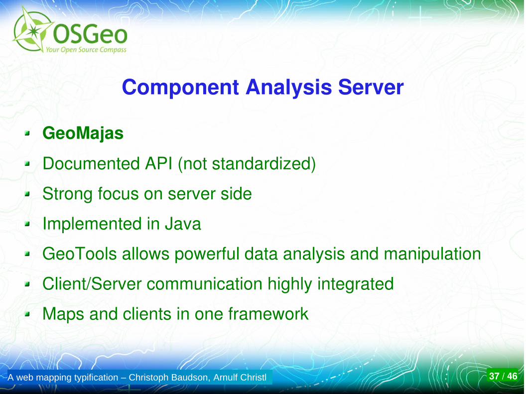
Component Analysis Server
GeoMajas
Documented API (not standardized)
Strong focus on server side
Implemented in Java
GeoTools allows powerful data analysis and manipulation
Client/Server communication highly integrated
Maps and clients in one framework
A web mapping typification – Christoph Baudson, Arnulf Christl 38 / 46
Administration
MapFish: Administration requires source code and config file editing
Mapbender: Administration via Web based interfaces.
GeoMajas: Administration requires source code and config file editing
A web mapping typification – Christoph Baudson, Arnulf Christl 39 / 46
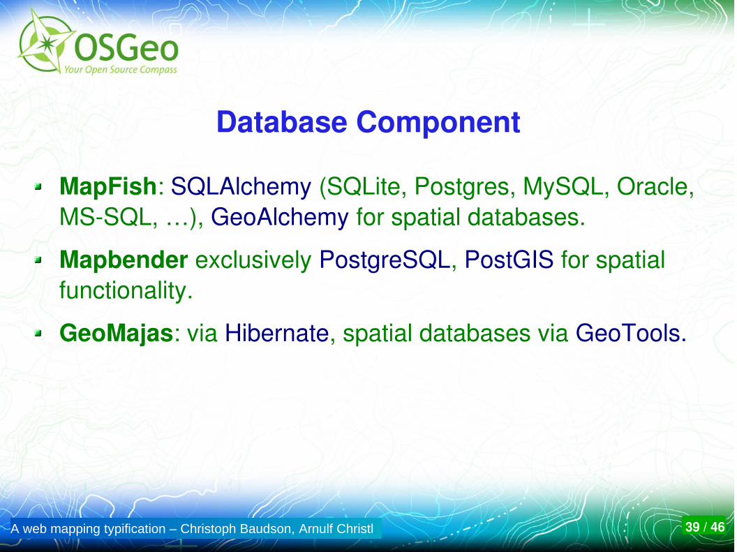
Database Component
MapFish: SQLAlchemy (SQLite, Postgres, MySQL, Oracle, MSSQL, …), GeoAlchemy for spatial databases.
Mapbender exclusively PostgreSQL, PostGIS for spatial functionality.
GeoMajas: via Hibernate, spatial databases via GeoTools.

A web mapping typification – Christoph Baudson, Arnulf Christl 40 / 46
License
OpenLayers: The Clear BSD License
GeoMajas: AGPL plus other options through vendor
Mapbender: Dual: GPLv2 and Simplified BSD
MapFish: GPLv3, except some libraries and modules

A web mapping typification – Christoph Baudson, Arnulf Christl 41 / 46
Copyright
Mapbender: OSGeo
MapFish: Camptocamp, SourcePole, others
OpenLayers: OpenLayers contributors
GeoMajas: Geosparc, Belgium

A web mapping typification – Christoph Baudson, Arnulf Christl 42 / 46
Which Software for which Task?
OpenLayers currently is the best option for web developers who simply need a map.
GeoMajas, MapFish and Mapbender with their server side components are too heavy for this job.
OpenLayers is also used by developers of complex web mapping frameworks and geoportal software, for example MapFish and Mapbender.

A web mapping typification – Christoph Baudson, Arnulf Christl 43 / 46
Which Software for which Task?
MapFish is a framework for Web GIS application developers.
Well structured source code
Modular architecture using OpenLayers and GeoExt
Standardized API
Supports several programming languages

A web mapping typification – Christoph Baudson, Arnulf Christl 44 / 46
Which Software for which Task?
Mapbender is a software to create and operate SDI geoportals.
Administration is optimized for standard services like OGC WMS, WFS and INSPIRE.
User specific access control.
Web interfaces to create applications.
No need to write a single line of Code.

A web mapping typification – Christoph Baudson, Arnulf Christl 45 / 46
Which Software for which Task?
GeoMajas is a self contained outofthebox Web GIS solution
Includes client and server.
User specific access control.
Web interfaces to create applications.
integrates powerful server side algorithms into the web browser.

A web mapping typification – Christoph Baudson, Arnulf Christl 46 / 46
Come to the OSGeo booth and talk to users and developers
Creative Commons Share Alike License 3.0
Copyright © 2010: Christoph BaudsonArnulf Christl
The internationalOpen Source Conference
of theGeospatial Domain
With friendly support by:
Metaspatial