part 1 catfincut
TRANSCRIPT

13
Produced by Donald R. Privett, Ph.D.- P.G.
Environmental and Engineering Geologist
Lower Catawba River Valley of Southern
Chester and Lancaster Counties, S.C. - Geology - Archeology and History
Part 1

23
WHERE IS THE GREAT FALLS OF THE CATAWBA? GEOLOGY - ARCHEOLOGY AND HISTORY
PRIVETT, Donald R., S.T.A.R. Environmental, 1 Circle Street, Great Falls, SC 29055, [email protected]
The Great Falls of the Catawba (GFC) is located the Piedmont Province, near the boundary between the Carolina Slate belt and The Charlotte belt. The Piedmont is a gentle rolling surface where larger tributaries streams occur in steep sloping entrenched valleys.
The Great Falls Metagranite is the most common rock, is a nearly circular, 40 square mile, 543 +/- 63 million year old (Cambrian or late Pre-Cambrian), metamorphosed granite composed of quartz, feldspar and mica; probably a crystallized magma chamber, intrudes metamorphic and igneous rocks and is cut by north - northeast striking mafic dikes.
The Catawba River heads east of the Blue Ridge escarpment on Chestnut Ridge near Old Fort, North Carolina. It flows into a broad valley for 120 km then makes two angular turns to flow south into South Carolina.
Near Great Falls, SC the river has cut a deep channel through saprolite exposing an extensive boulder field and bedrock. Before the Catawba River was dammed, it dropped more than 22 meters in five km in a series of rapids and waterfalls.
Duke Energy diverted the River in two areas. Riverbeds are exposed for approximately 3600 (short) and 10,000 (long) feet below spillways. The GFC is mostly covered by a concrete dam, only the lower part is exposed. Abundant potholes, 25 - 40-cm. wide and 30 cm. deep occur in rocks at the base of the dam. Bedrock is also fluted and has been polished smooth by water flow and suspended sediments.
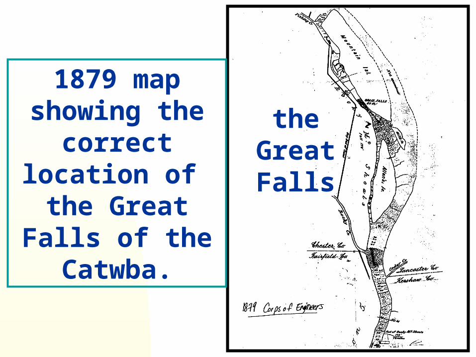
Rocks exposed in the long bypass display evidence for rapids and cascades; suggesting that GFC was located in/along it. Most geomorphic and geologic evidence suggests the GFC is behind the dam of short diversion also an 1879 Corps of Engineer map locates it there and notes a fall of 50 feet.
Southeastern Section–56th Annual Meeting (29–30 March 2007)

33
Disrupted mafic dike (dark rock) OR mafic schlerien cutting
the metagranite.

43
I live along and was born near the river, in Great Falls, SC, very near the Great Falls of the Catawba, now covered by
a spillway dam and The Great Falls Reservoir, a Duke made lake formed by diversion of
the river into an excavated stream bed and covering most of any remains
of a 1800’s canal.

53
PURPOSE OF THIS PRODUCTION:1. Provide an introduction to the general geology and geomorphology of the lower Catawba River Valley. 2. Show the areas natural history. 3. Summarize the understanding of the area geologic and human history.4. Introduce the recreational opportunities of the area.
63
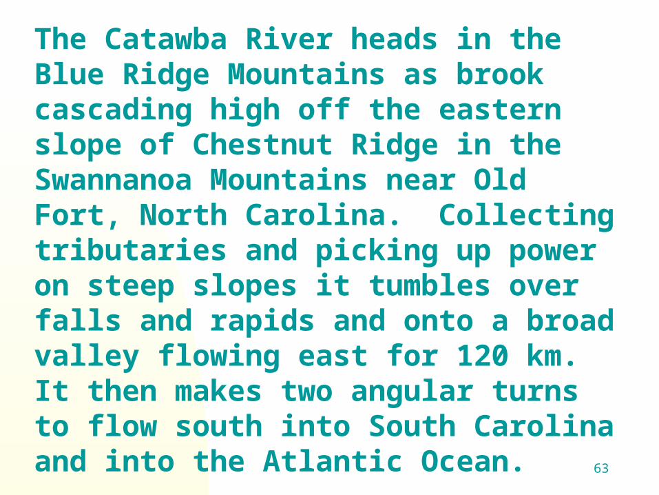
The Catawba River heads in the Blue Ridge Mountains as brook cascading high off the eastern slope of Chestnut Ridge in the Swannanoa Mountains near Old Fort, North Carolina. Collecting tributaries and picking up power on steep slopes it tumbles over falls and rapids and onto a broad valley flowing east for 120 km. It then makes two angular turns to flow south into South Carolina and into the Atlantic Ocean.

939/26/2004 83
Our journey looks briefly at theseareas:
Geomorphology (origin of theearth’s surface features.)
Geology Human history
Native American inhabitants -Archeology
An arsenal and armory Canal remnants
An electric arc nitrogen factory Duke Power dams
103
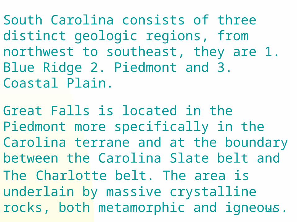
South Carolina consists of three distinct geologic regions, from northwest to southeast, they are 1. Blue Ridge 2. Piedmont and 3. Coastal Plain.
Great Falls is located in the Piedmont more specifically in the Carolina terrane and at the boundary between the Carolina Slate belt and The Charlotte belt. The area is underlain by massive crystalline rocks, both metamorphic and igneous.

113
Among the igneous are granites, diorites, and diabase. The
metamorphic rocks consist of gneiss, schists, phyllites, meta-sediments, and meta-volcanics.
The Piedmont Province is the non-mountainous portion of the older Appalachians. Its surface is the result of eons of weathering.

123
The typical landscape of the Piedmont isa rolling surface of gentle slopes withminimal relief (averaging about 50 feet)cut by or bounded by valleys of steeperslope and greater depth (often severalhundred feet). Near the larger streams,tributaries cut through deep and steepvalleys.

133
143
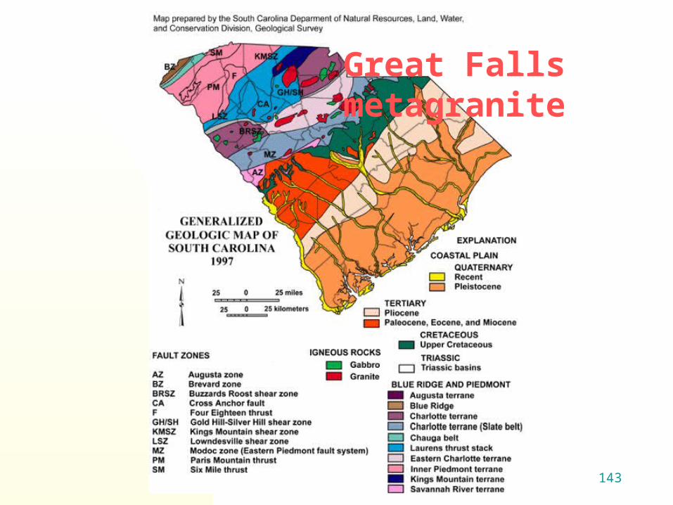
Great Falls metagranite

153
Geologic fault zones occurs around Great Falls and in Chester County. A fault is a fracture in or on the earth’s crust where rock has been displaced on opposite sides. Rock does not break easily, but as stress (forces) intensify, the rock will ”lock up" for a while, even along an existing fracture. Finally, in a buildup of force, the fault will rupture again, relieving the stress temporarily. Each time this happens the rocks on either side of the fault are offset more, and there is an earthquake.

163
Area Geomorphology
The river has cut a deep valley through granite, exposing bedrock.
Estimated down cutting occurred at rate of less than 1” per 100 years or at one hair width a year. 1’ per 1200 years, 10’ per 12,000 or 100’ per 120,000 years.
Hard bedrock resists erosion and produces waterfalls and shoals.
Evidence for the geologic history is found in the rocks.

173
Geology
The Great Falls Metagranite is the most common rock type in the area.
It is a circular, 40 square mile, 543 million year old +/- 63 million years, altered granite. It is composed of quartz, feldspar and mica.
Is one of the oldest igneous rocks in the Carolina Terrane part of the piedmont.

1837/9/2005 153
The Great Falls Metagranite isthe crystallized part of a magmachamber of an eroded volcano. Hasa nearly circular exposure, isCambrian or late Pre-Cambrian agebiotite metagranite is well exposedin parts of Chester, Lancaster andFairfield Counties, South Carolina.
The Great Falls Metagranite isthe crystallized part of a magmachamber of an eroded volcano. Hasa nearly circular exposure, isCambrian or late Pre-Cambrian agebiotite metagranite is well exposedin parts of Chester, Lancaster andFairfield Counties, South Carolina.
193
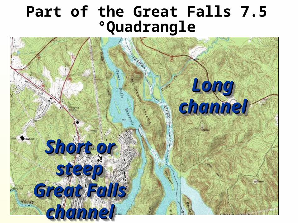
Part of the Great Falls 7.5 °Quadrangle
Long Long channelchannel
Long Long channelchannel
Short or Short or steepsteepGreat Great FallsFalls
channelchannel
Short or Short or steepsteepGreat Great FallsFalls
channelchannel

203
Gradient of the Catawba River, note steep slope
at Great Falls.

213
Topographic
profile. Duke Duke Energy DrawingEnergy Drawing
1. 1. NitrolNitrol
eeee
2. 2. Great Great Falls Falls
ProjecProjections tions lookinlookin
g g northnorth

223
The Great Falls

233
In the early 1900’s, Duke Power Company diverted the
course of the Catawba River, in two areas of
southeastern Chester and western Lancaster Counties,
South Carolina.
The riverbed is exposed for approximately 3600 and
10,000 feet below spillway dams,
today, those riverbeds serve only as overflow
channels.
243
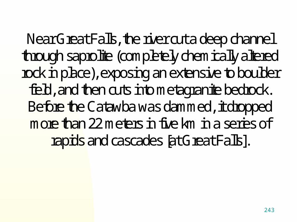
Near Great Falls, the river cut a deep channel
through saprolite (completely chemically altered rock in place), exposing an extensive to boulder
field, and then cuts into metagranite bedrock. Before the Catawba was dammed, it dropped more than 22 meters in five km in a series of
rapids and cascades [at Great Falls].
253
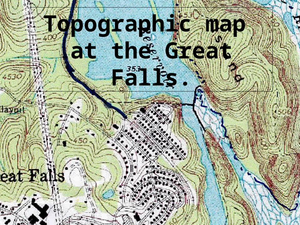
Topographic map at the Great Falls.

263
Aerial Aerial photographotogra
ph ph 2004 2004
contour contour interval interval is 2 feet.is 2 feet.Duke Energy Photo.Duke Energy Photo.

273
The Great Falls
Spillway dams were built atop the Great Falls of the Catawba.
283
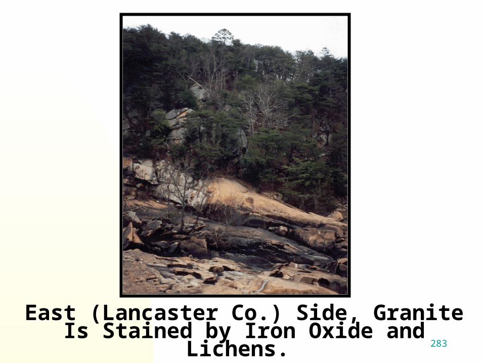
East (Lancaster Co.) Side, Granite Is Stained by Iron Oxide and Lichens.

293
After Heavy Rains, Water Overflows the Spillway Dam,
Forming a Waterfall for a Short While. To Hear It From an Open
Window Is a Delight.

303
Looking across lake toward the Looking across lake toward the Great Falls of the Catawba. The Great Falls of the Catawba. The spillway dam is located near the spillway dam is located near the
base of the falls, most of the falls is base of the falls, most of the falls is under water.under water.

313
“The place is wild and romantic. Almost the whole volume of the river is here compressed by a rugged island into a narrow channel, between steep, rocky shores, fissured and fragmented, as if by some powerful convulsion. There are no perpendicular falls; but down a rocky bed the river tumbles in mingled rapids and cascades, roaring and foaming, and then subsides into comparative calmness in a basin below.” Lossing, B. 1850

323

333
Drawing of the Great Falls made in 1847.

343
How the Great Falls looks from north end of
Dearborn Island after heavy rains.
353
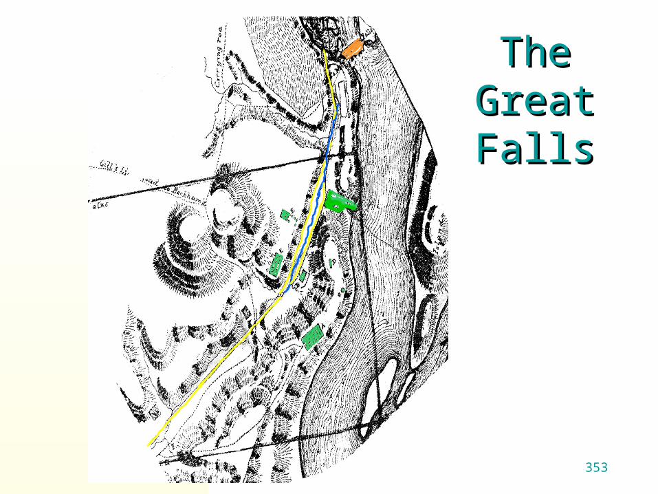
The Great The Great FallsFalls
363
1879 map showing the
correct location of the Great
Falls of the Catwba.
the Great Falls

373
Looking South Catawba River Valley Below the
Great Falls.

383
Looking south -
Catawba River Valley below
the Great Falls.

393
Potholes are:
1. abundant in the exposed rocks at the base of the Great
Falls cascades (below the spillway dam of the Dearborn
reservoir).
2. 25- 40-cm. wide and 30 cm. deep.
Bedrock is fluted and has been polished smooth by water
flow and suspended sediments.

403
Pothole in
Granite.
Pothole in
Granite.
Potholes Potholes form over form over
thousands of thousands of years by the years by the
scouring scouring action of action of
pebbles and pebbles and cobbles cobbles
caught in a caught in a depression depression and swirled and swirled by water.by water.

413
Potholes and polished metagranite.

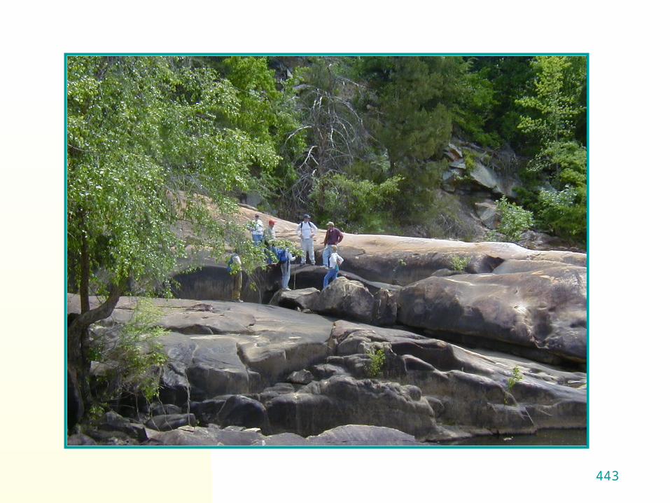
423Small cascade Small cascade looking north.looking north.

433
443

453
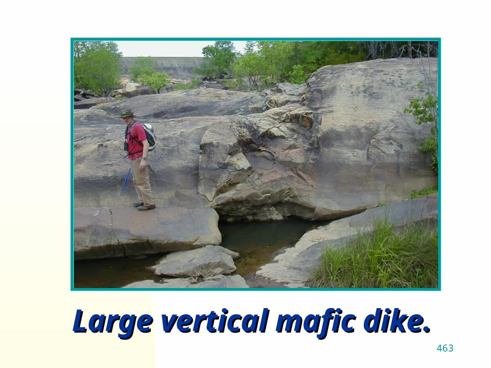
Large Large vertical vertical mafic mafic dike.dike.
463
Large vertical mafic dike.Large vertical mafic dike.

473
Metagranite covered by Metagranite covered by water water
eroded flutes.eroded flutes.
483
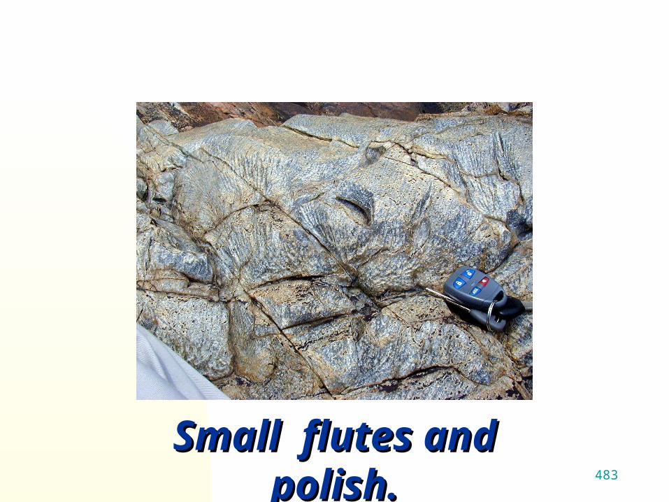
Small flutes and Small flutes and polish.polish.
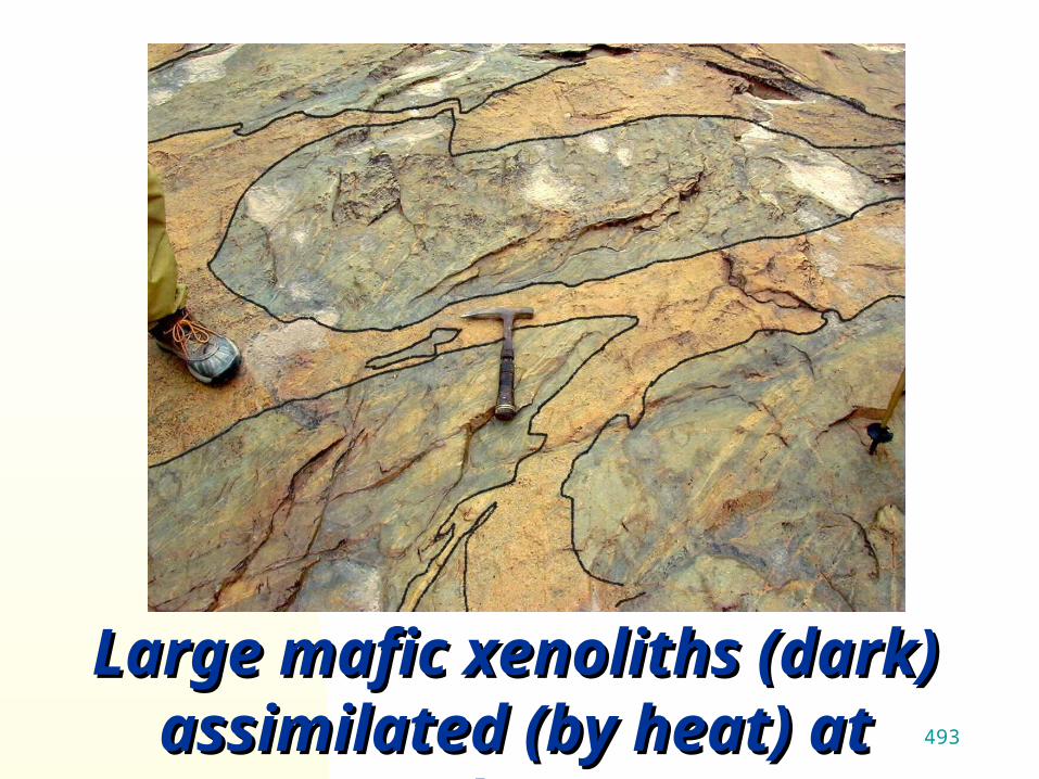
493
Large mafic xenoliths Large mafic xenoliths (dark) assimilated (by (dark) assimilated (by
heat) at edges. heat) at edges.

503Pothole and polished Pothole and polished metagranite.metagranite.

513Large pothole.Large pothole.

523
Fluting and
polishing of
granite.
Fluting and
polishing of
granite.

533
Metagranite polished smooth by sediment. and water
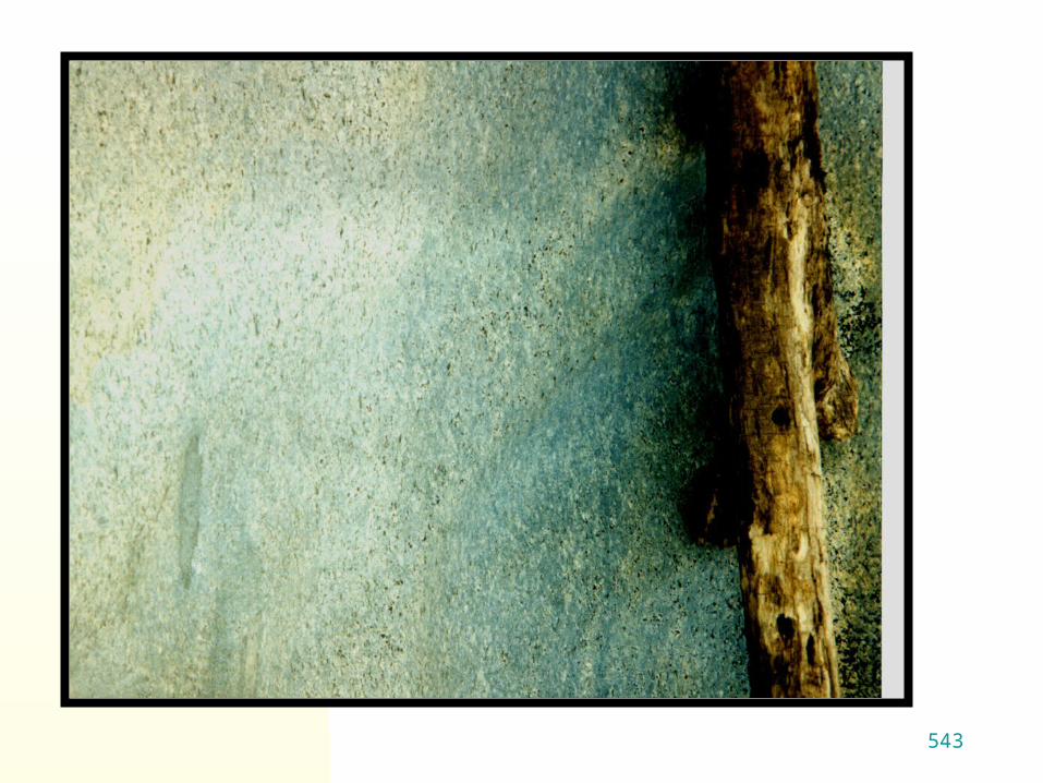
543

553
The Great Falls of the Potomac, how the Catawba may have looked before damming.

563
Maybe we
will be able to do
this trick soon.

573
Continued in Part 2